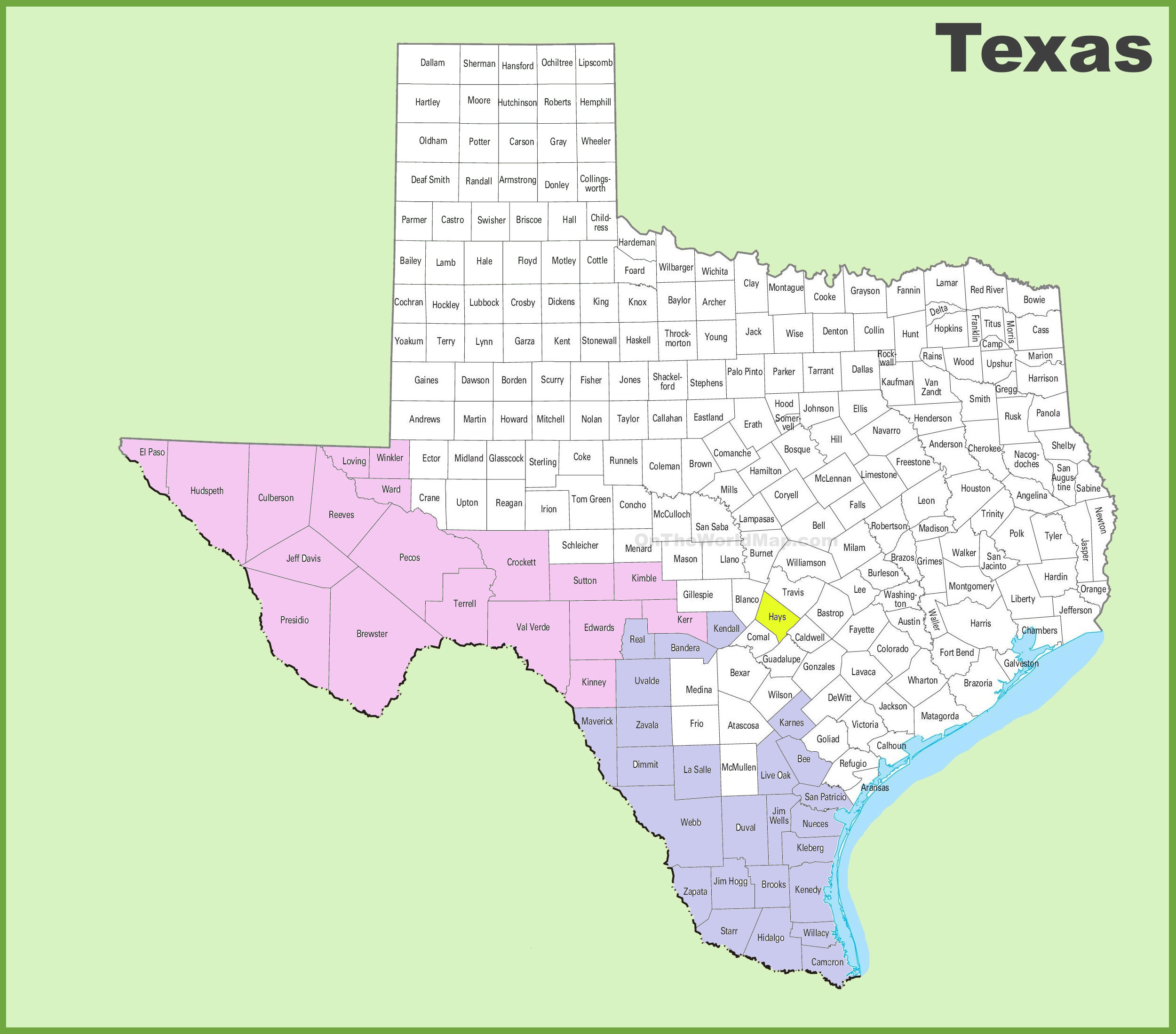
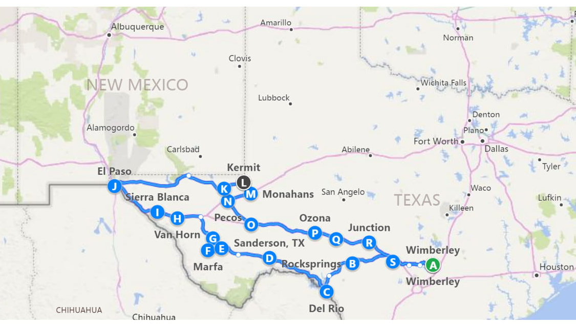
Trip 2 to West Texas and the Oil Patch. Three days, two nights, 1,431 more miles and 18 more counties – total now at 44. Here’s the circuit:
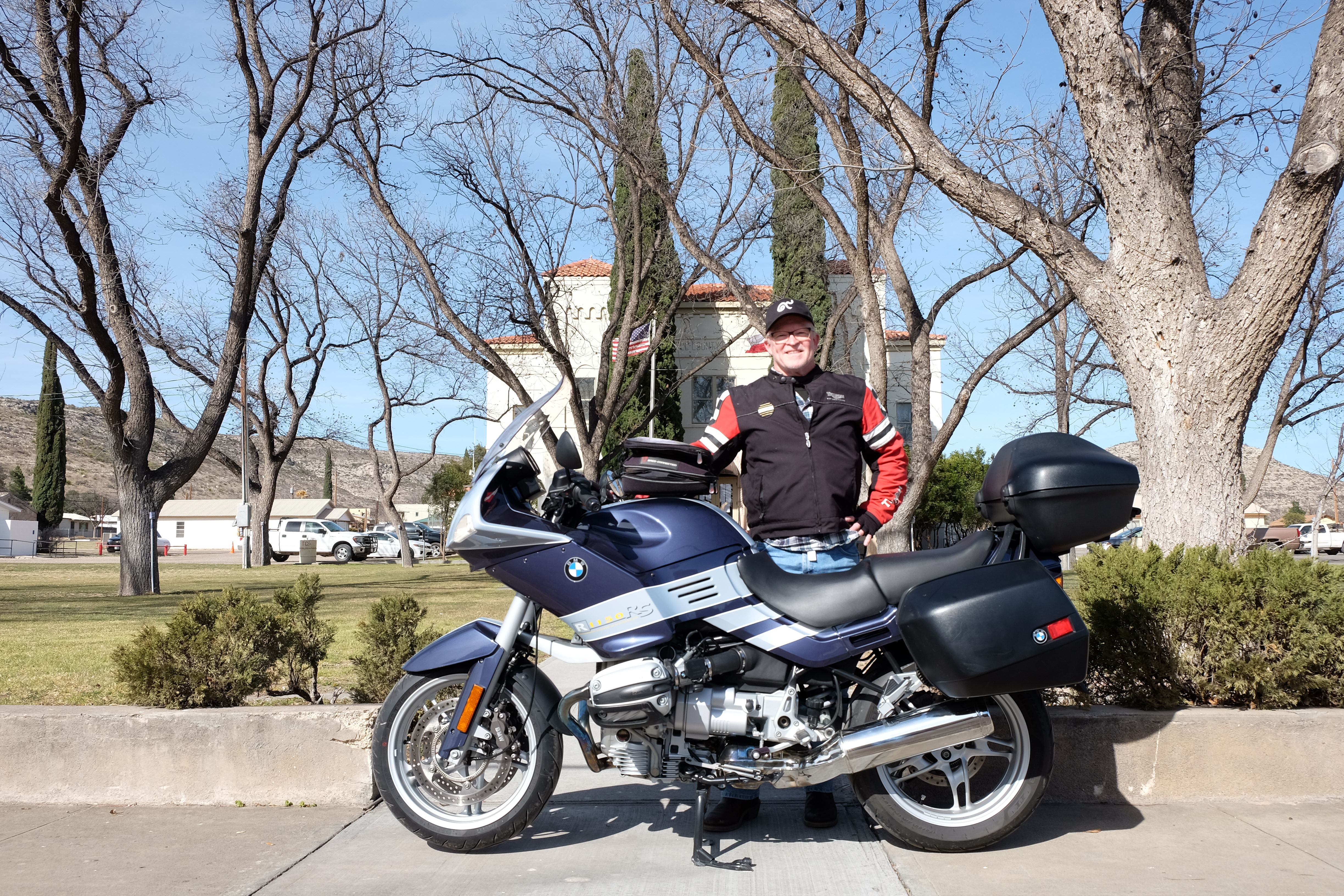
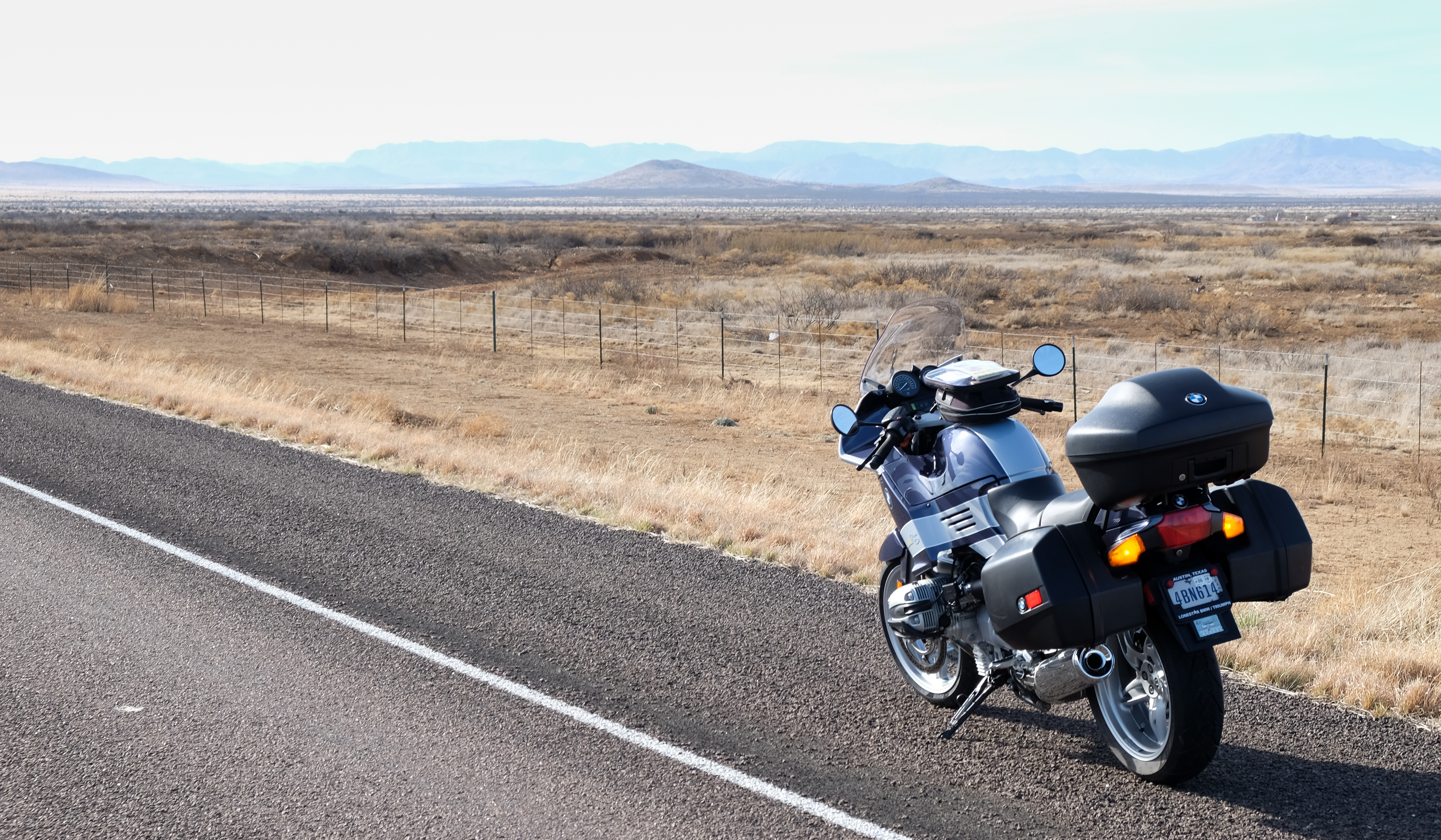
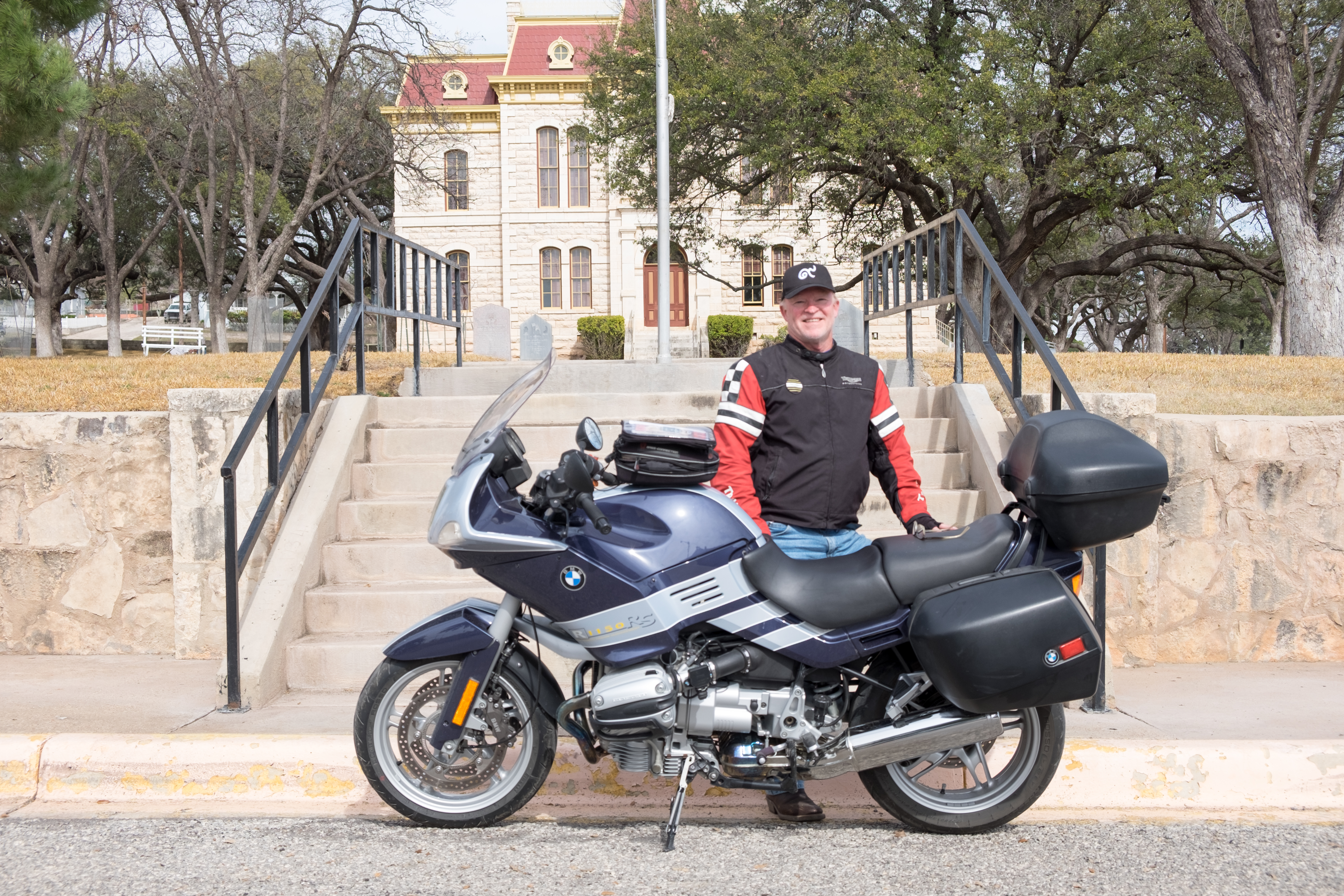
Long-distance high-speed solo motorcycle touring is like a prolonged altered state of consciousness. It’s not the same as driving a car – you can get hypnotically into a zen zone, but you cannot let your attention waver for a second – pebbles on the road, leaves, a darting critter… There’s no other distraction, so it is long, serene (mostly) hours of alert but reflective consciousness, massaged by the locomotive-like thrum of a big motor.
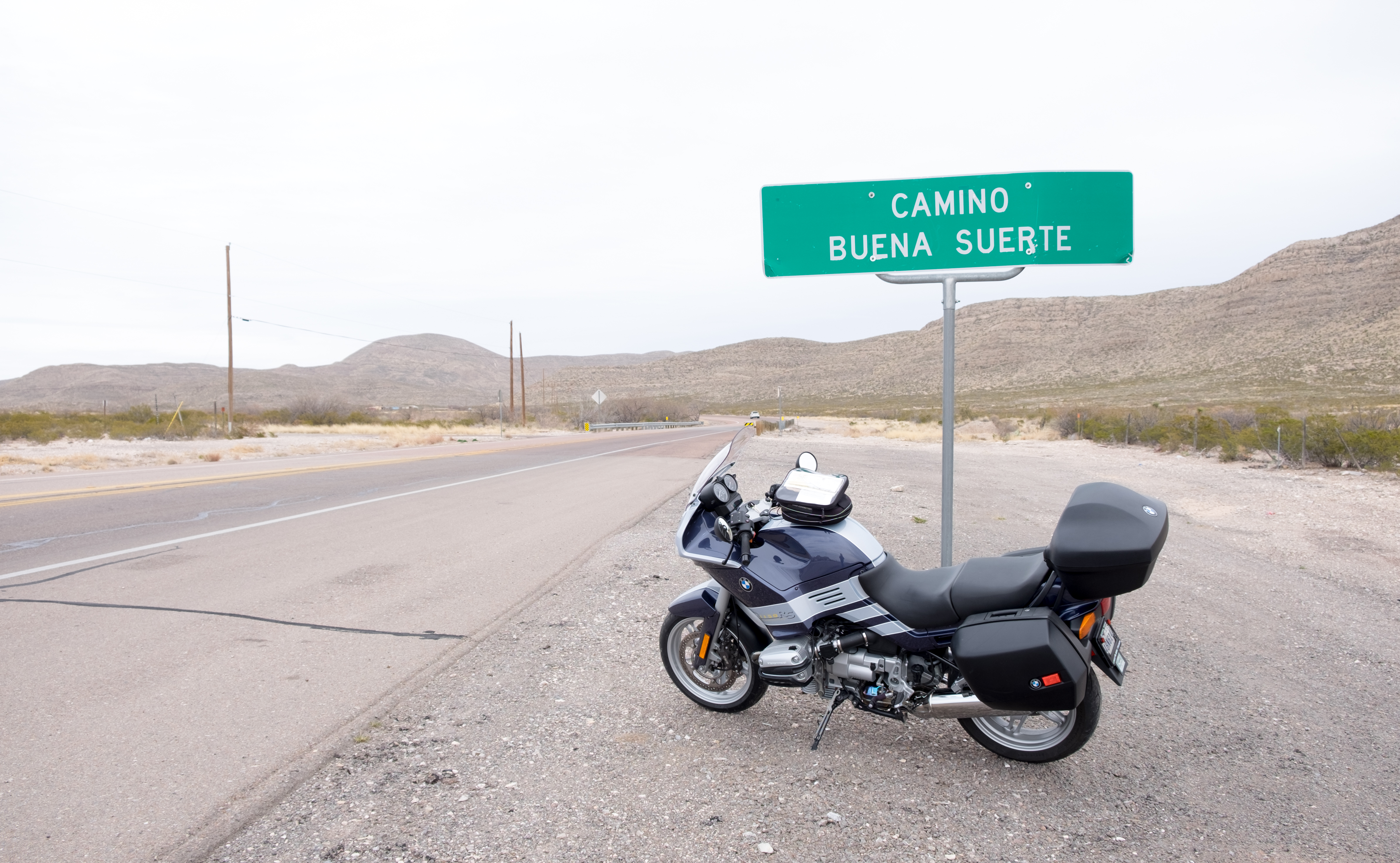
I’ve owned or ridden probably every kind of motorcycle engine that exists, and though I appreciate them all, there is just nothing – not even a Harley – that is like a large-displacement BMW with that strange-looking opposed twin motor with the cylinder heads sticking out to the sides. The bike geometry is so good it is like riding a motorized scalpel through reality, slicing a fine line through the ever-approaching leading edge of the world around you…
This trip basically had two distinct parts: the best of Texas, heading out West through the glorious high-altitude (for Texas) golden plains, surrounded by mountains; and the worst of Texas: the post-Armageddon hellscapes of ground zero of the oil fracking industry. It looks and feels like something out of Mad Max Beyond Thunderdome.
Or, I was thinking of what Saruman said about the creation of orcs in the Lord of the Rings: “Do you know how the Orcs first came to being? They were Elves once, taken by the dark powers, tortured and mutilated. A ruined and terrible form of life. And now, perfected. My fighting Uruk-hai.” The oil field country is as if the same things that were done to the orcs – torture and mutilation – are being done to the land. When all the oil is squeezed out, though, these hard lands will one day revert to their original condition, with only the pterodactyl-like oil pumping machines there as reminders of the frenzied resource explorations of the 20th and 21st centuries.
So here we go…
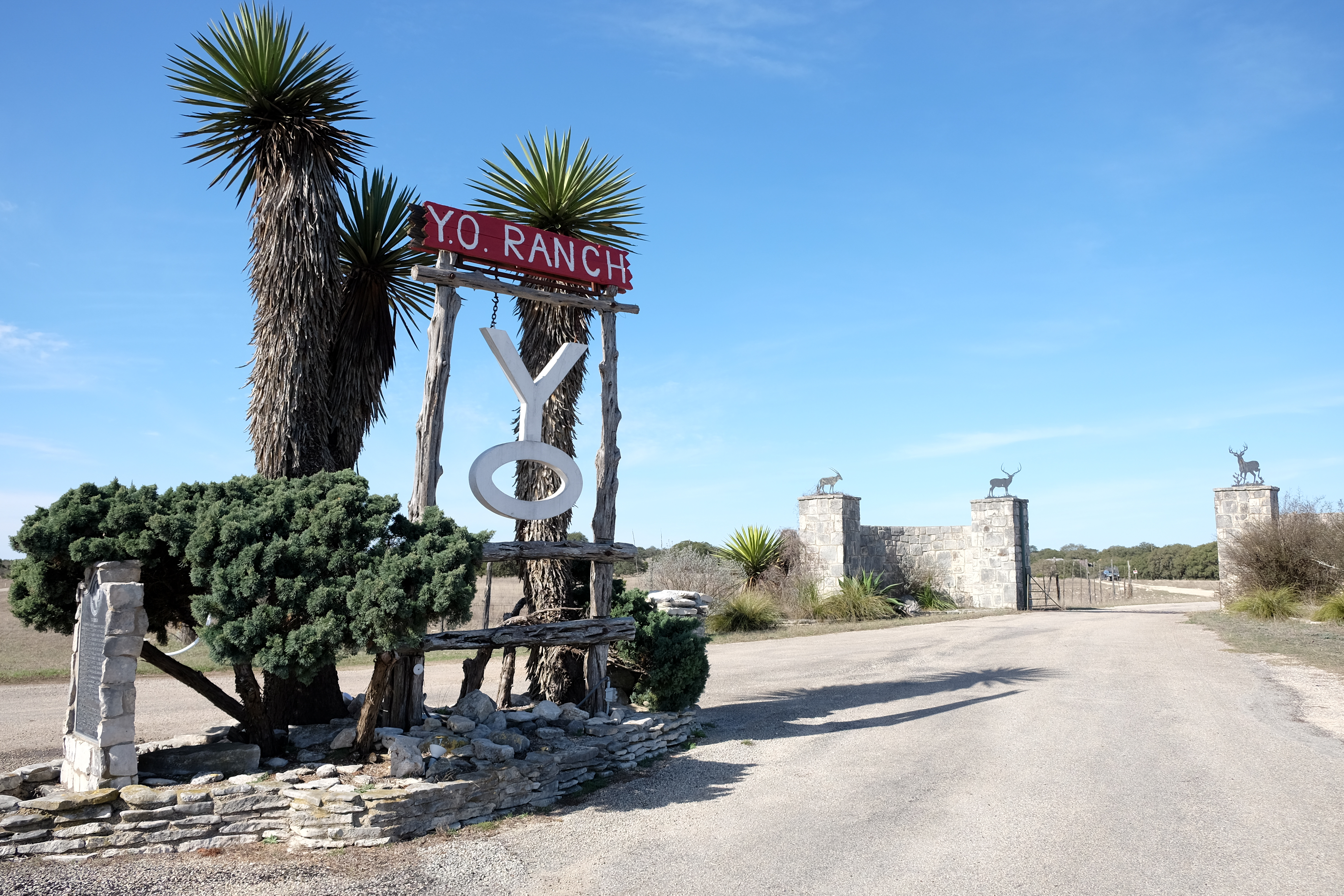
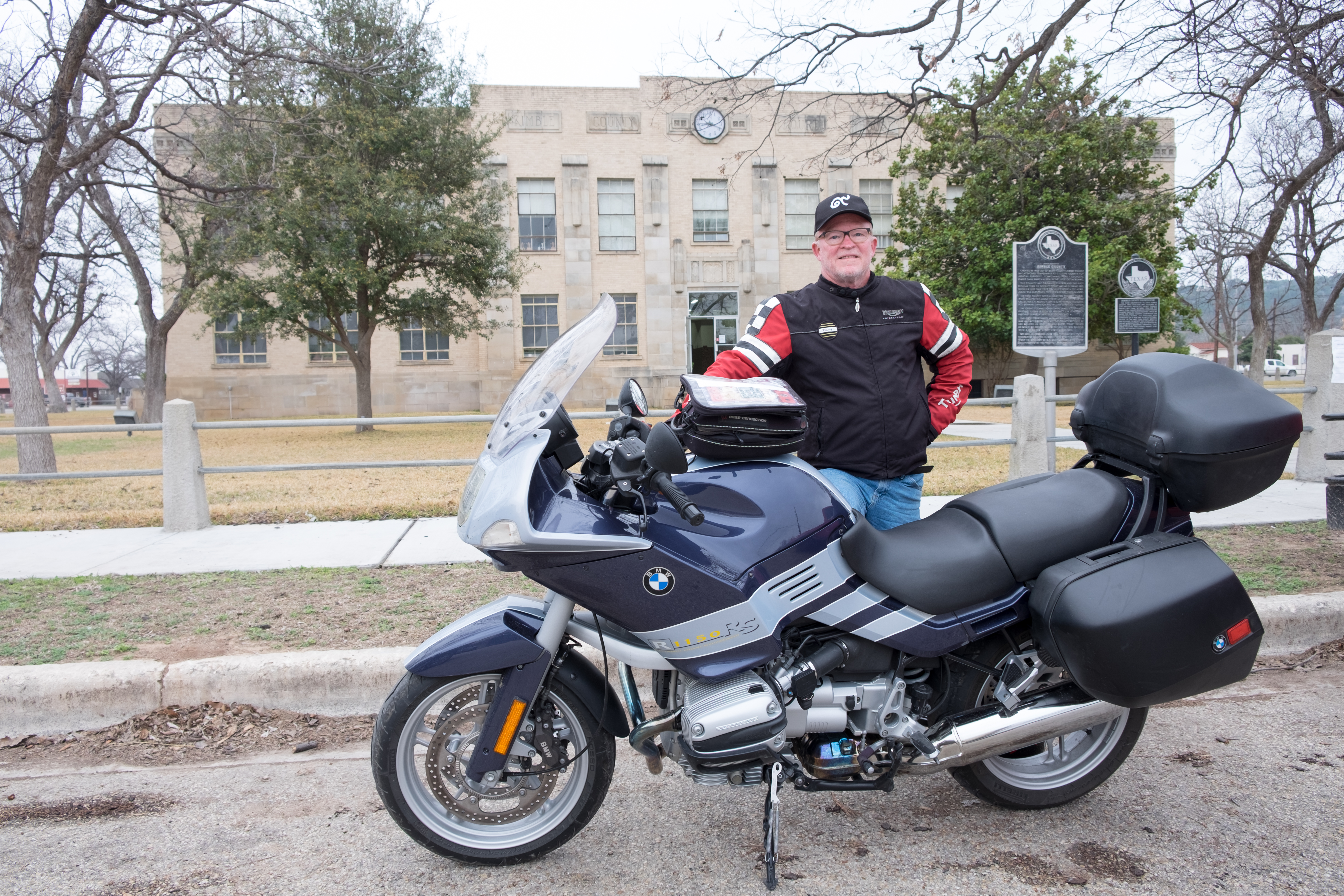
First destination, Wimberley to Rocksprings, about 145 miles through the glorious Hill Country, passing by the famous Y.O. Ranch:
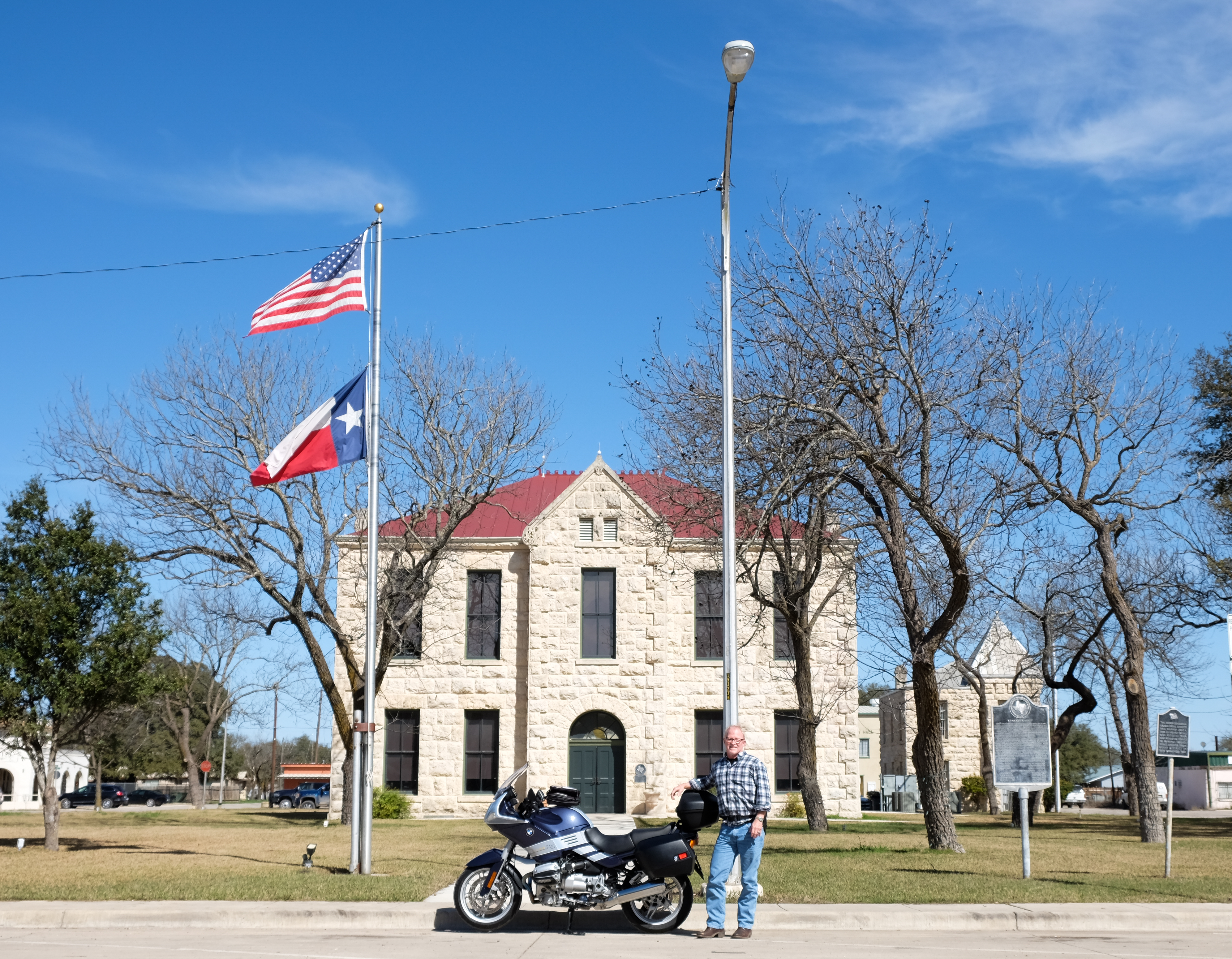
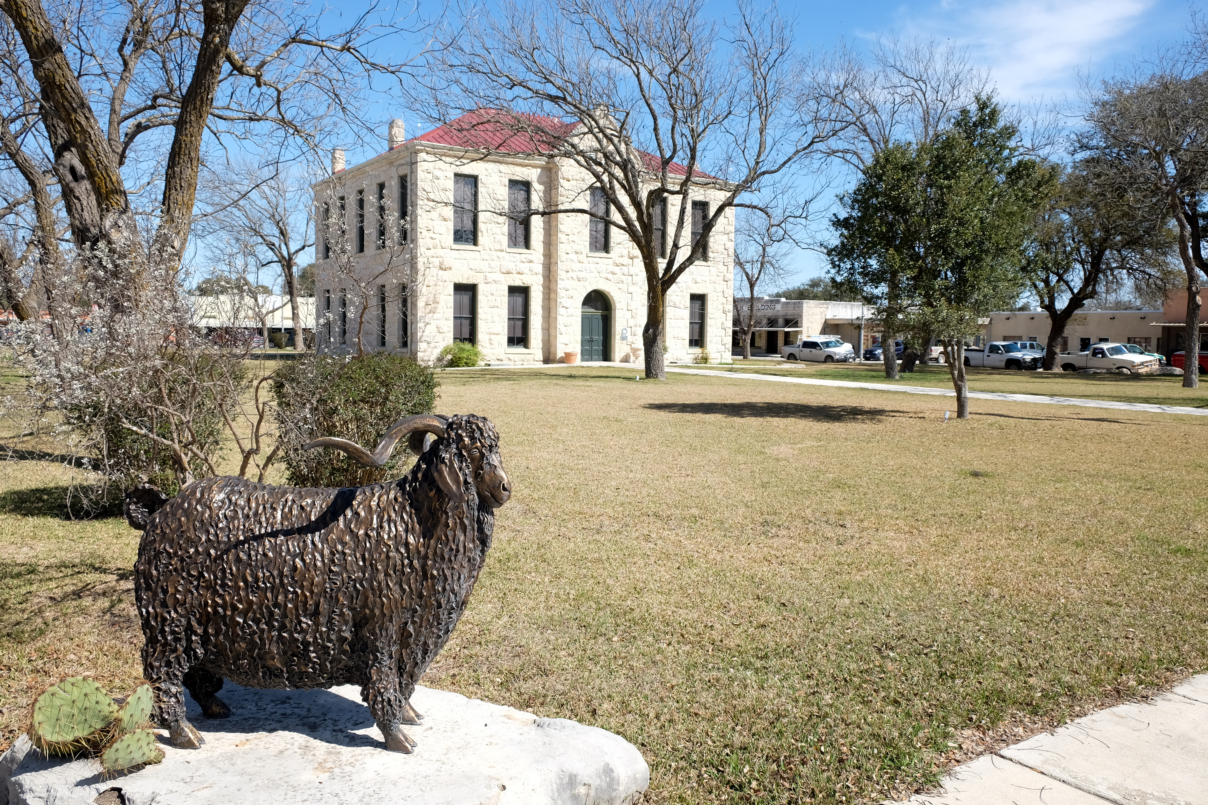
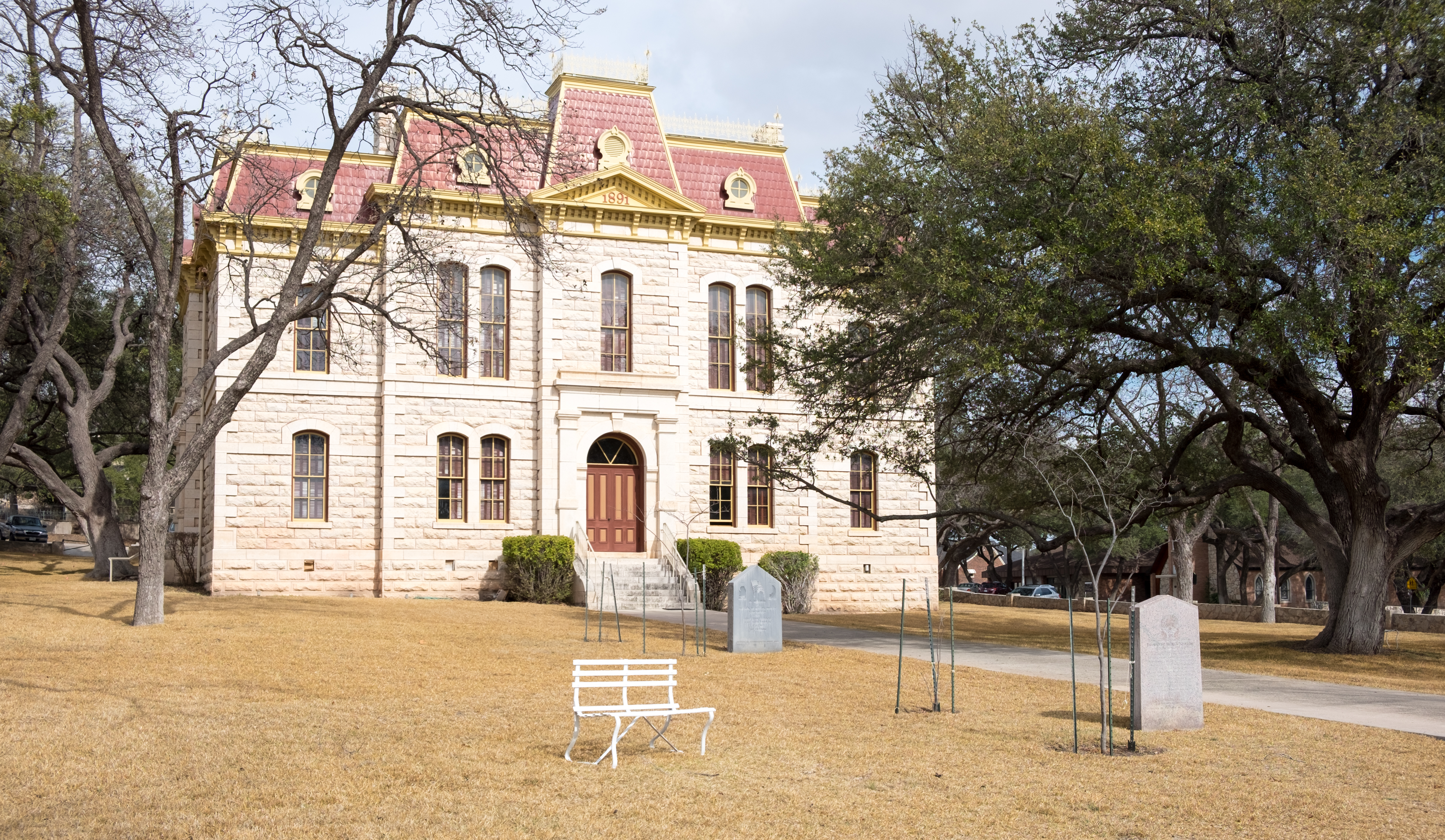
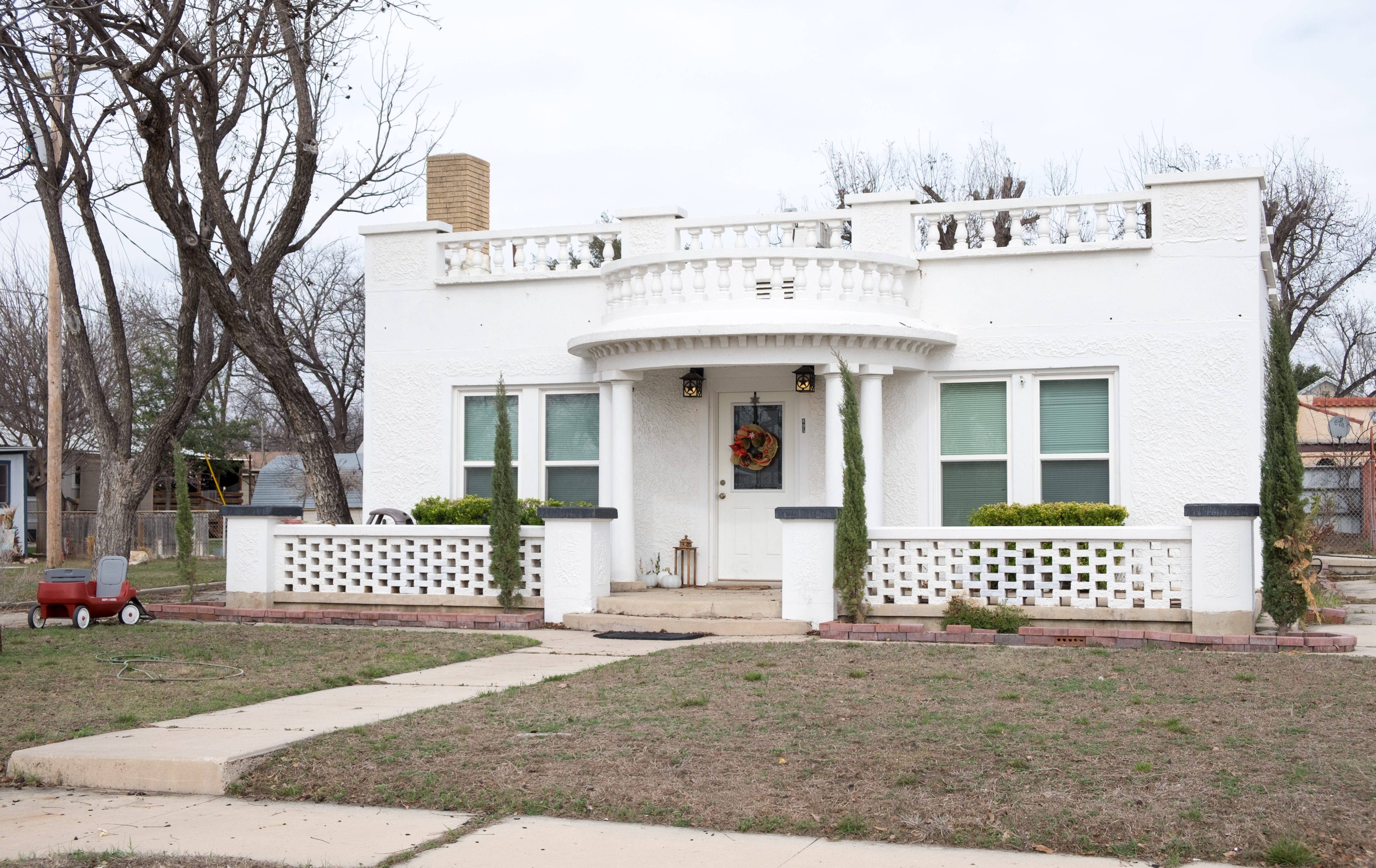
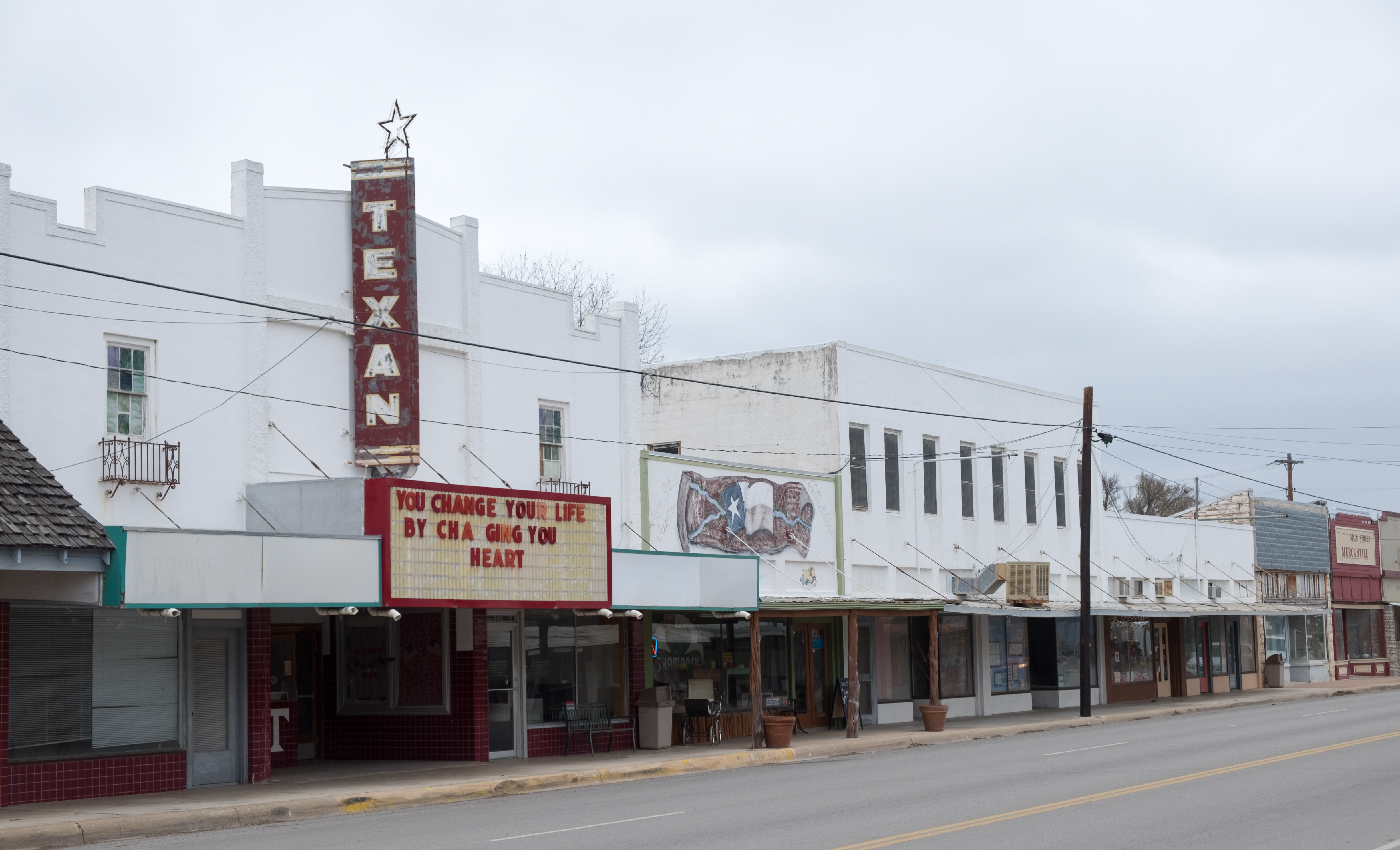
On to Rocksprings, hub of the mohair wool business. You’d never expect such a bleak and sparsely populated area to have such a pretty courthouse, but here it is:
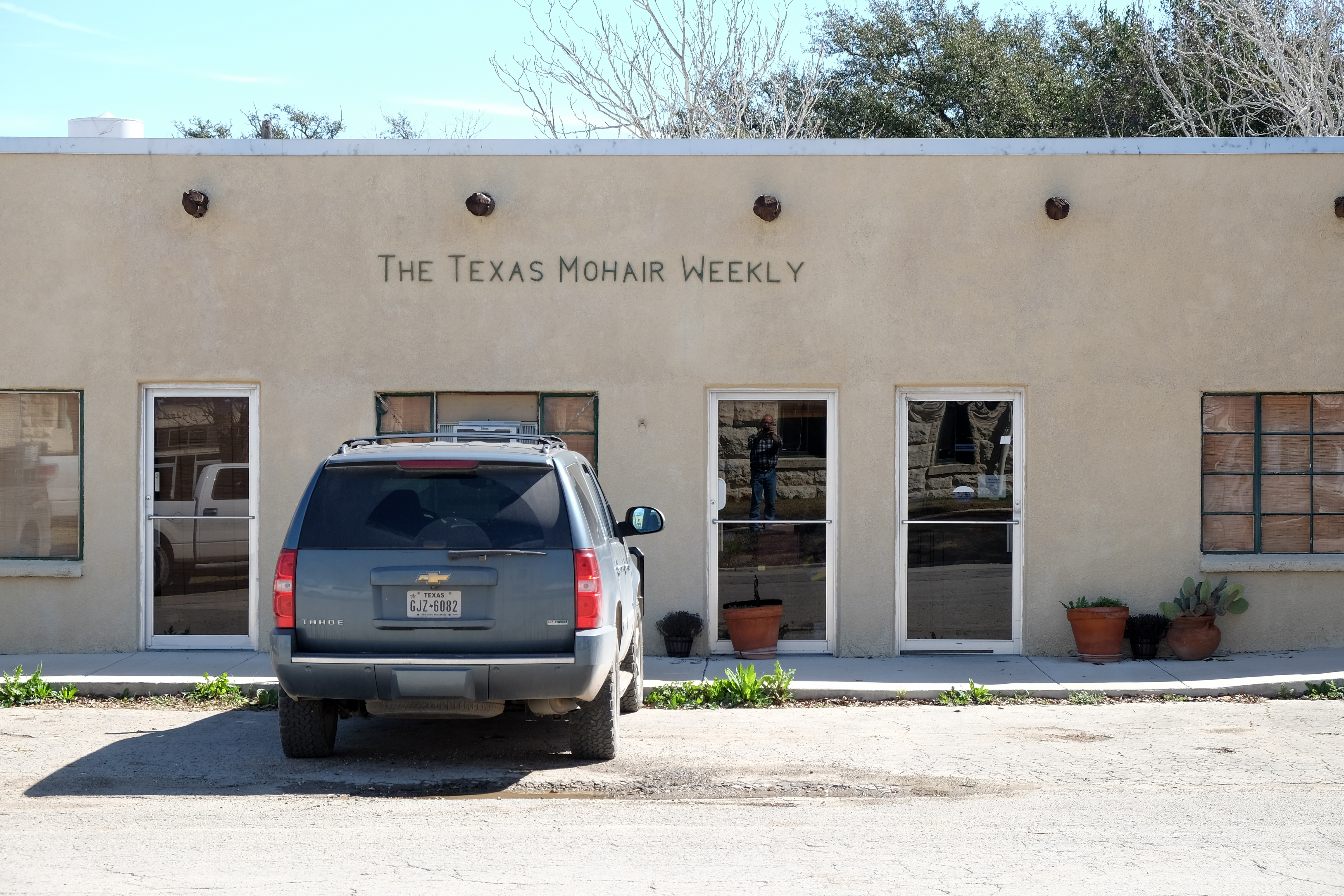
And the HQ of the New York Times’ great rival, the Texas Mohair Weekly:
In 1927 Rocksprings was hit by an F5 tornado that killed 1/3 of the population and destroyed 235 of 247 buildings. Shit! Ironically, Edwards county, and the famous Edwards Plateau that is the essence of the Texas Hill Country, were both named after a settler from Virginia who tried to establish an independent republic in Nacogdoches, but may never have even set foot in this area!
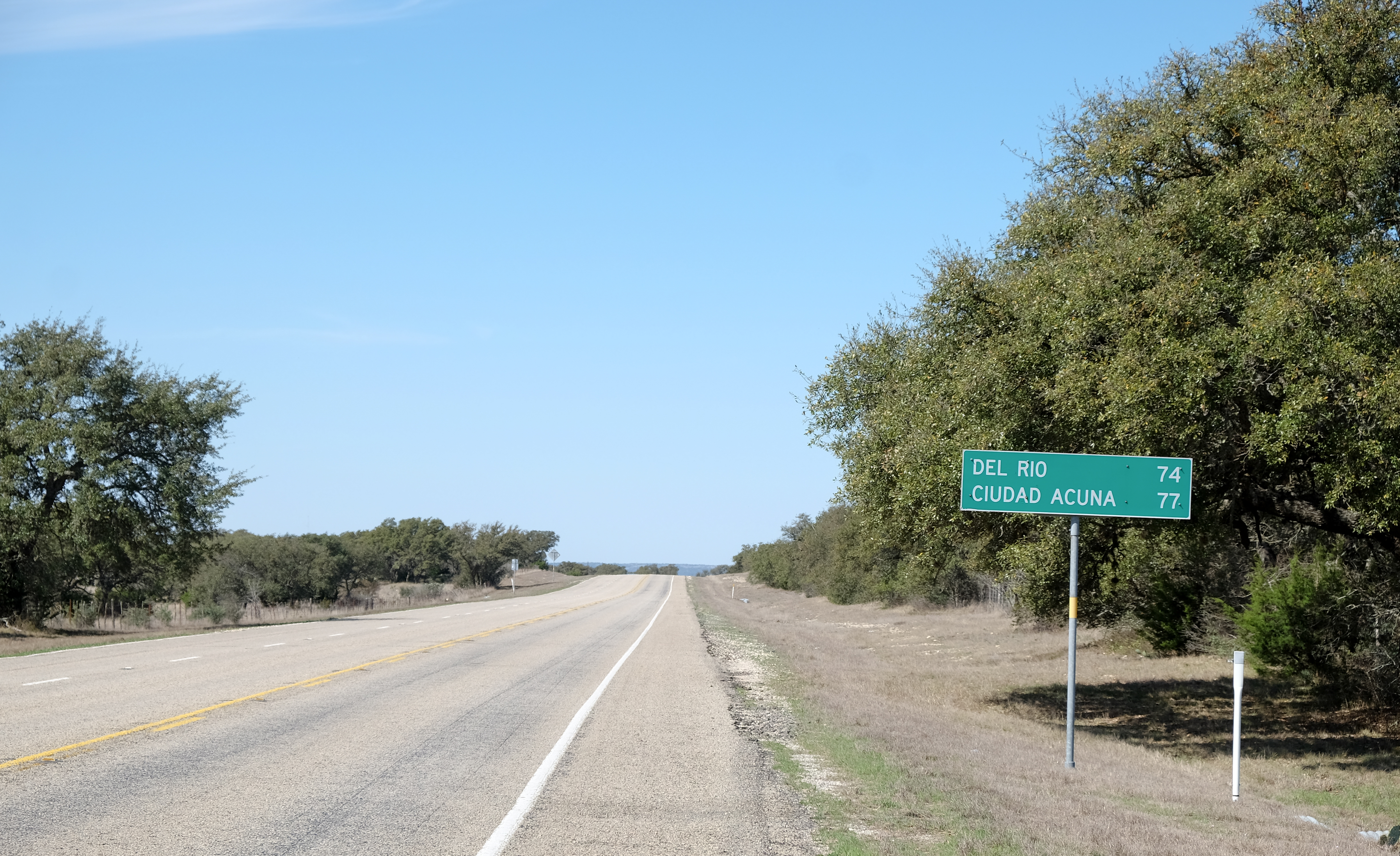
From Rocksprings southwest to Del Rio, seat of Val Verde County on the Rio Grande and bordering Mexico. No doubt the Trump Wall will pass through there some day, I’m happy to have been there under more relaxing times. These little border towns are charming little amalgamations of Anglo and Latino styles and feels. Any of them would be a good place to live.
Val Verde County is named for some escapade during the Civil War when Texas invaded New Mexico and captured some artillery pieces. One would have hoped for something a little more prosaic, but that’s history for you…
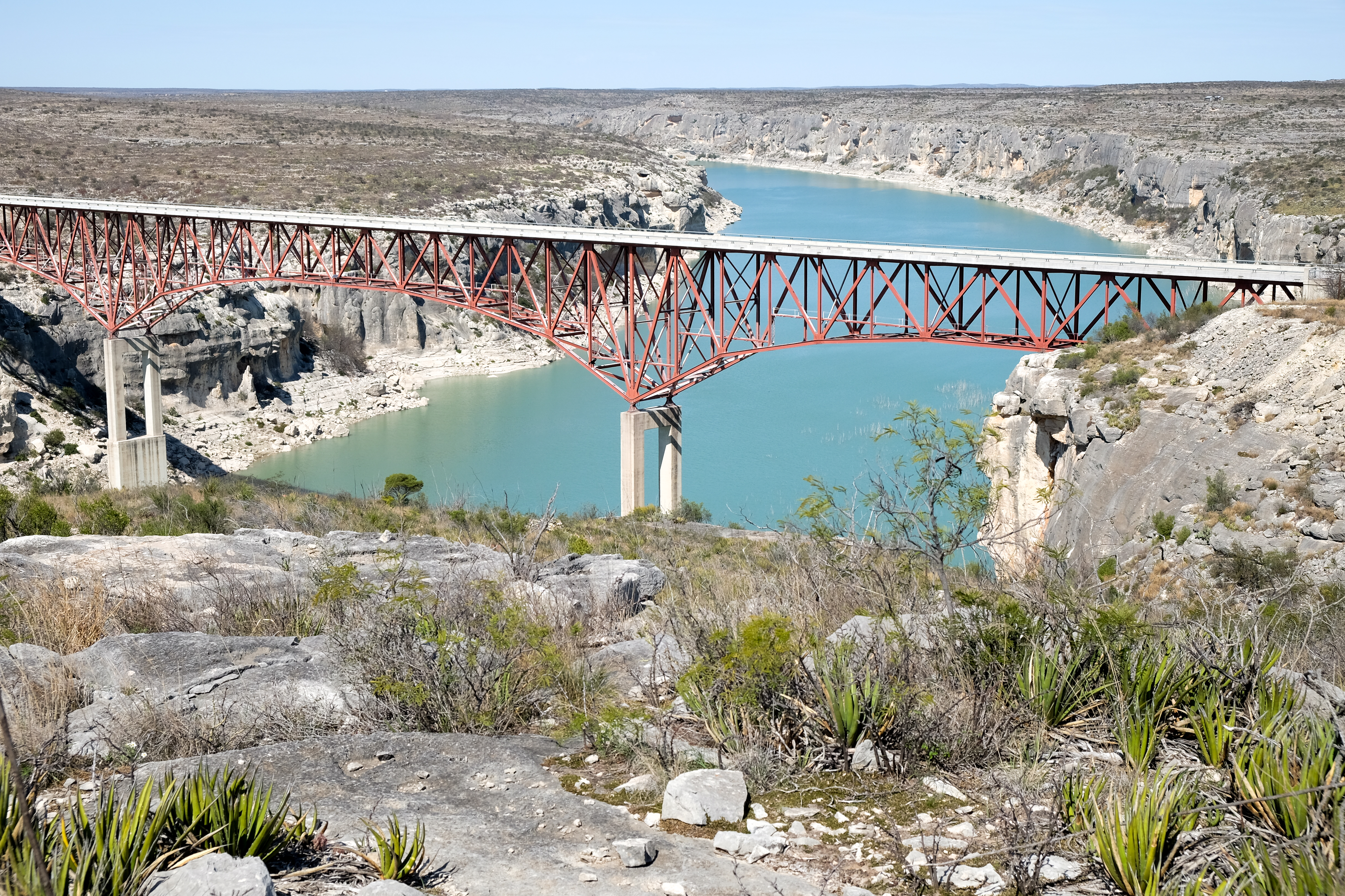
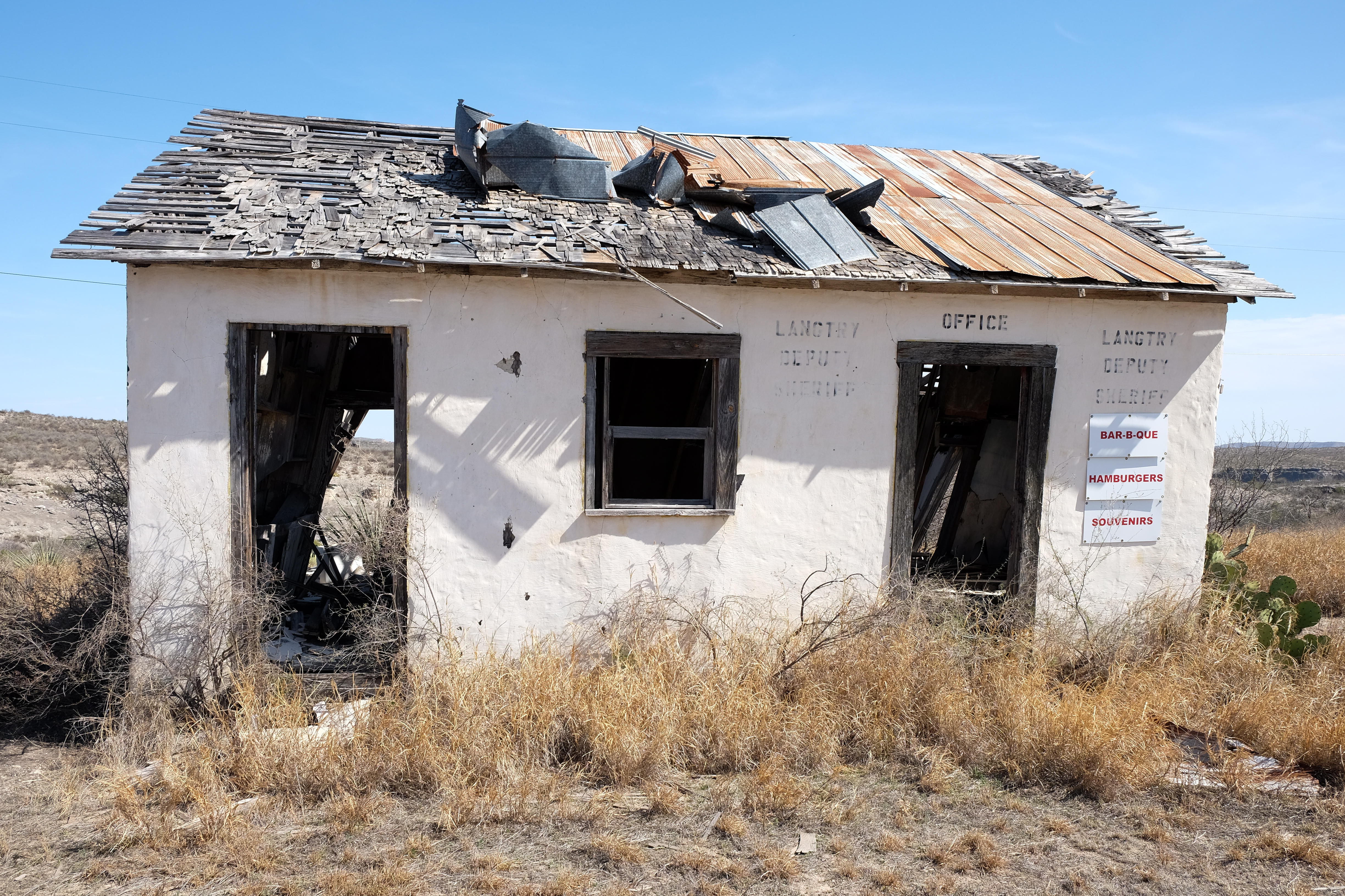
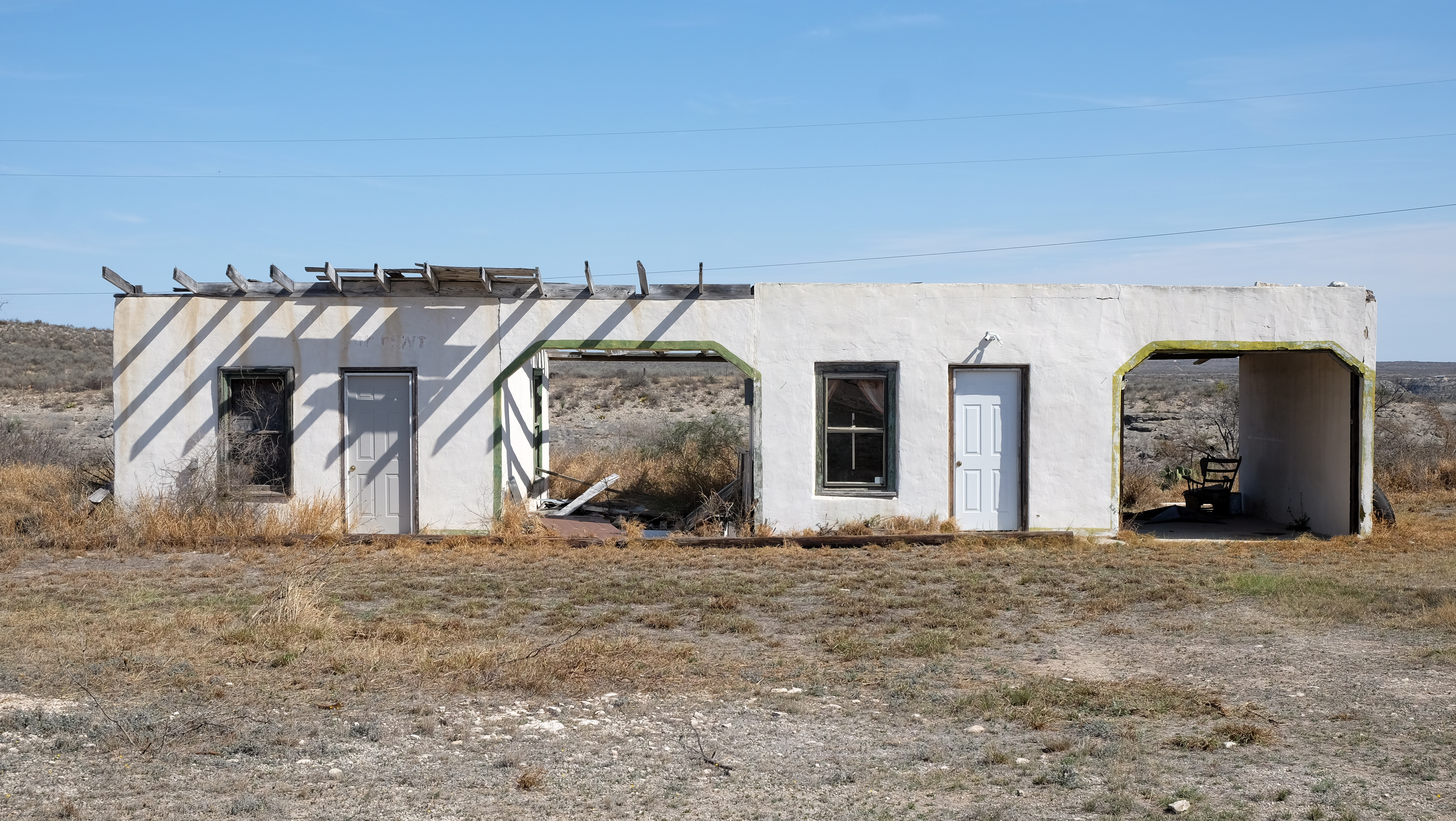
From Del Rio, another 120 miles along the border and then up to Sanderson. On the way, you cross the Pecos River and go through Langtry, where once upon a time Judge Roy Bean provided “law west of the Pecos”.
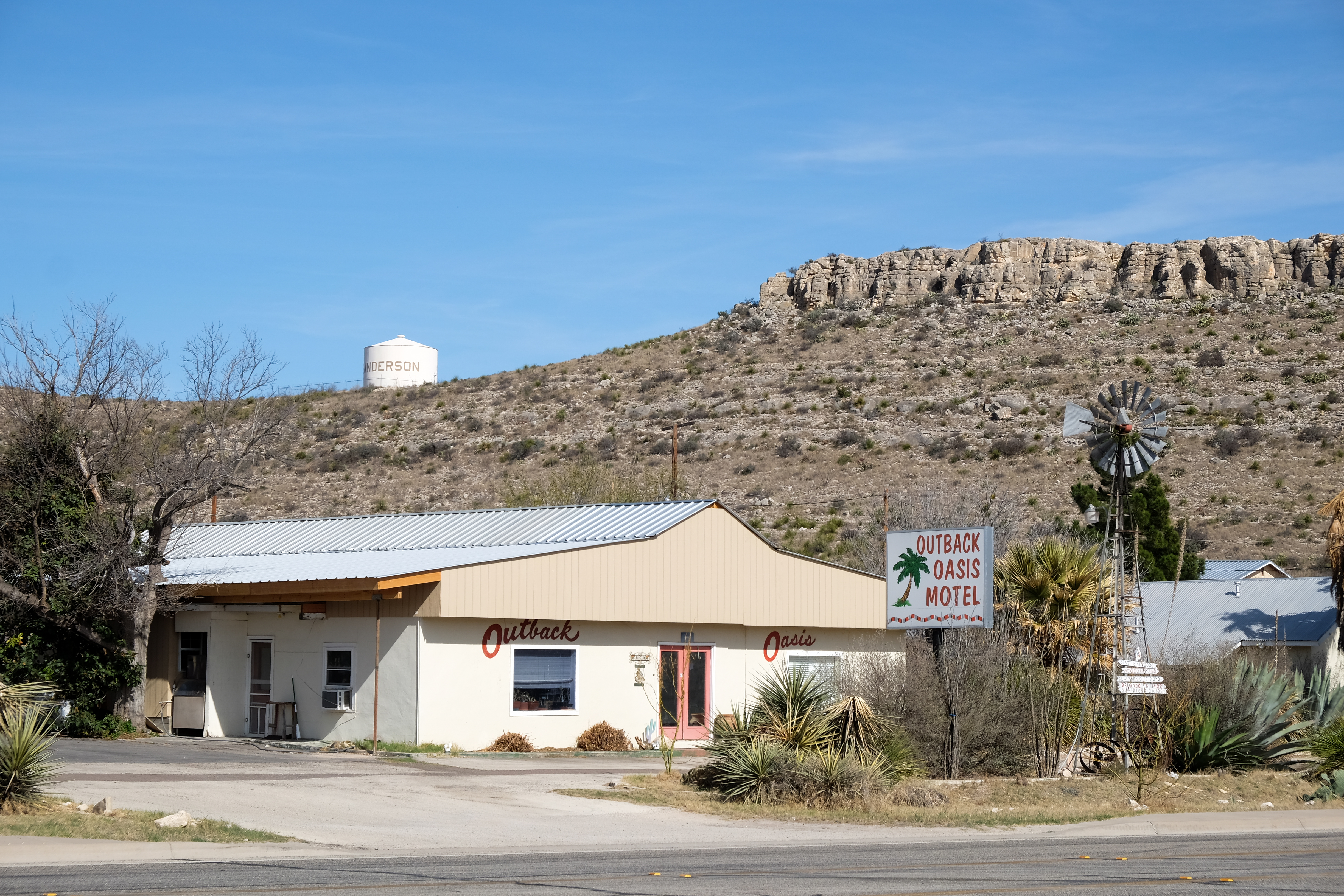
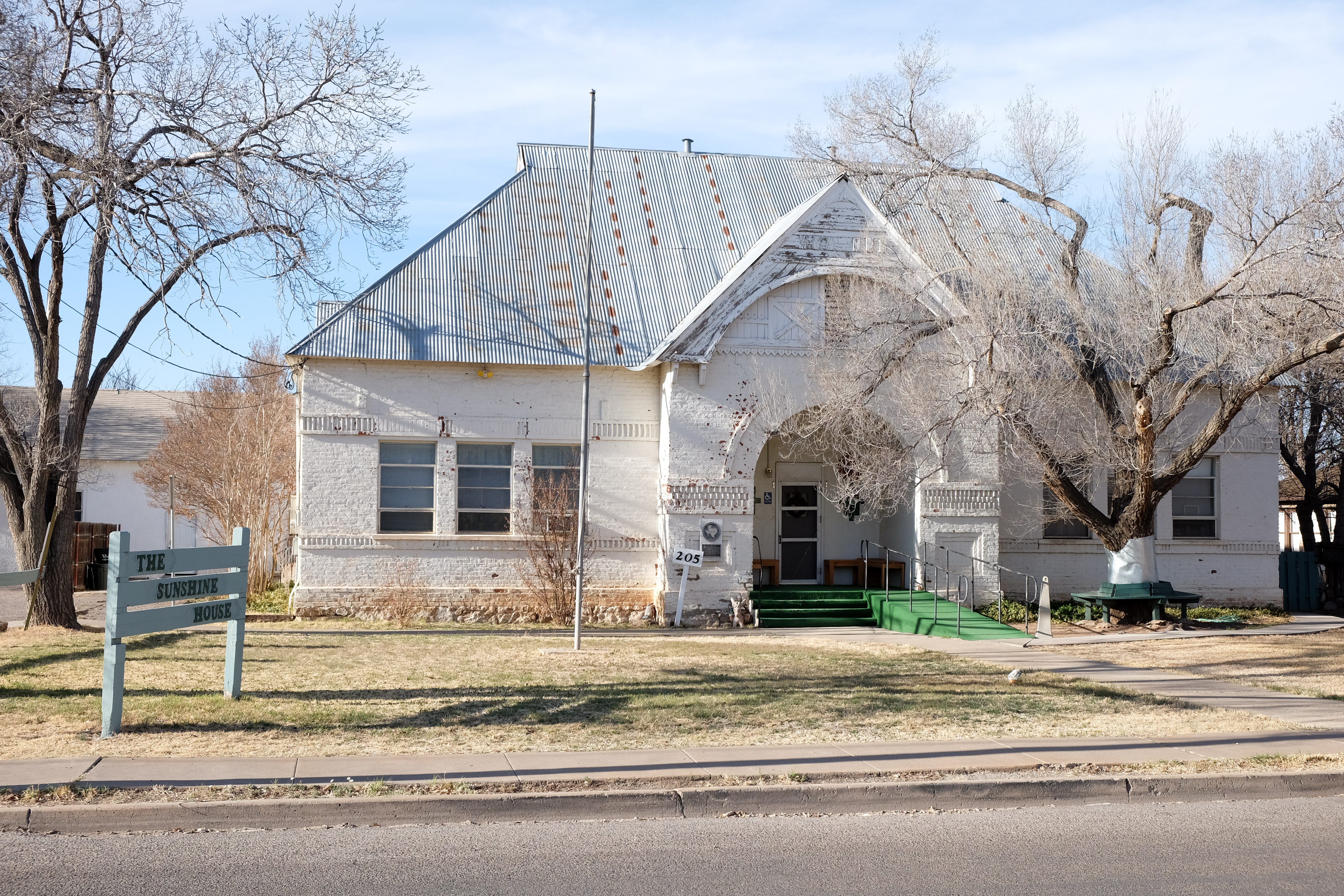
Finally arrived in Sanderson, seat of Terrell County.
Sanderson is where the ill-fated Llewellyn Moss and his saucy little bride lived in a trailer park in the Coen Brothers’ “No Country for Old Men”. If not for being a place to get gas and overnight on the way to Big Bend, Sanderson could already be a ghost town. It’s pretty well on the way already…
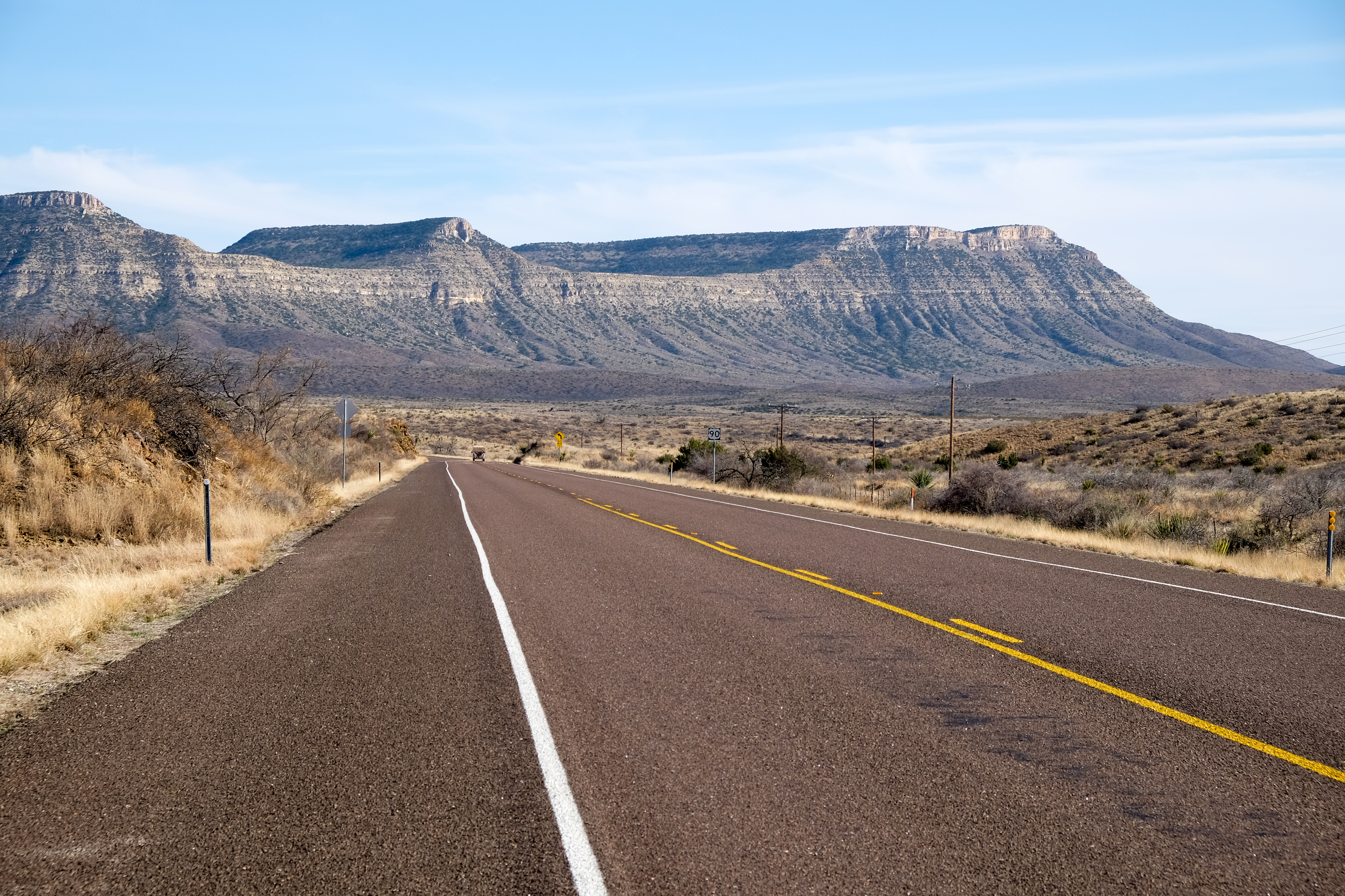
And then the glorious ride due west to Marathon… It might sound scary, but running the BMW at 100mph+ feels absolutely serene, and the bike is so gyroscopically stable it feels like 35mph. What a way to travel!
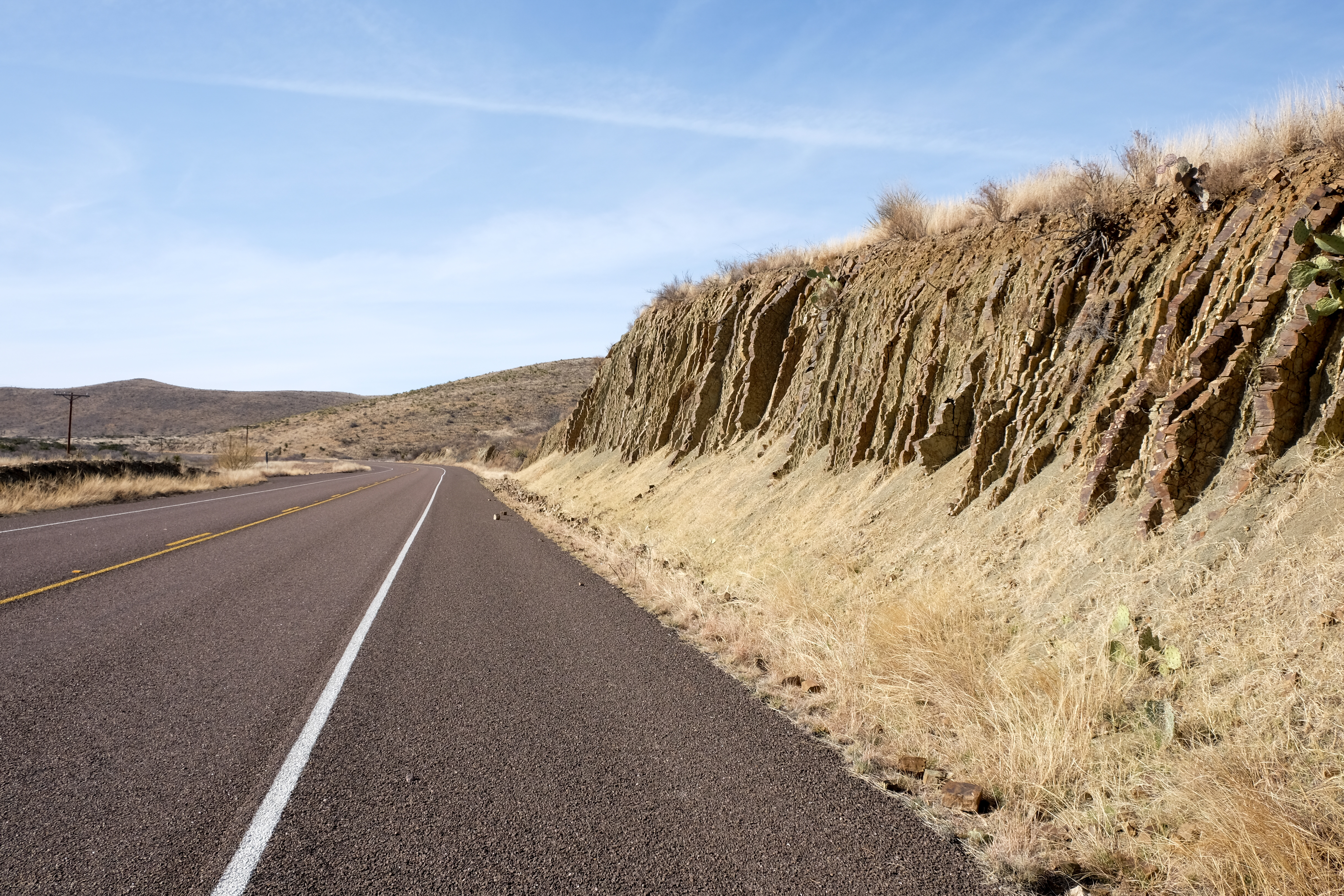

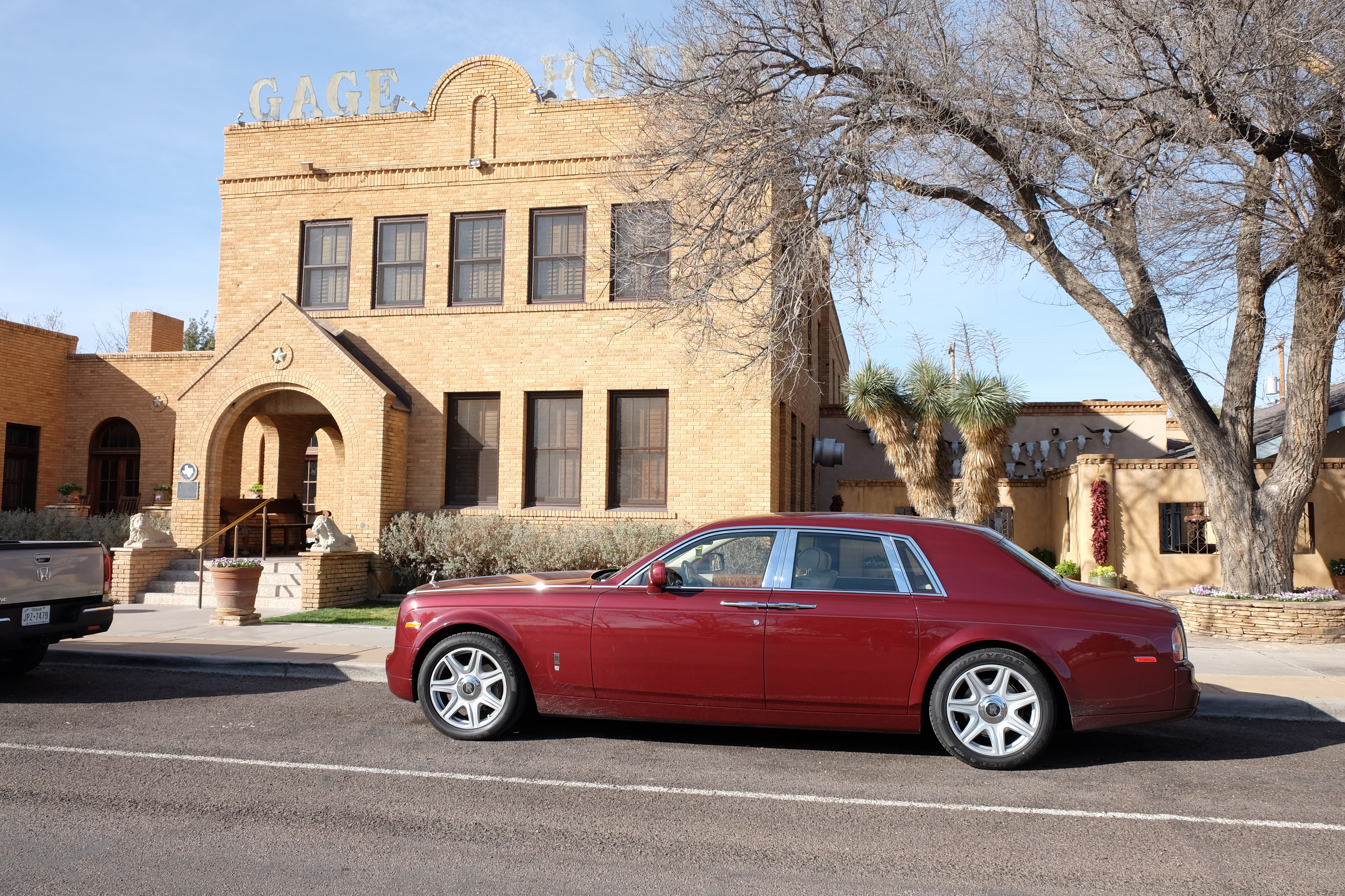
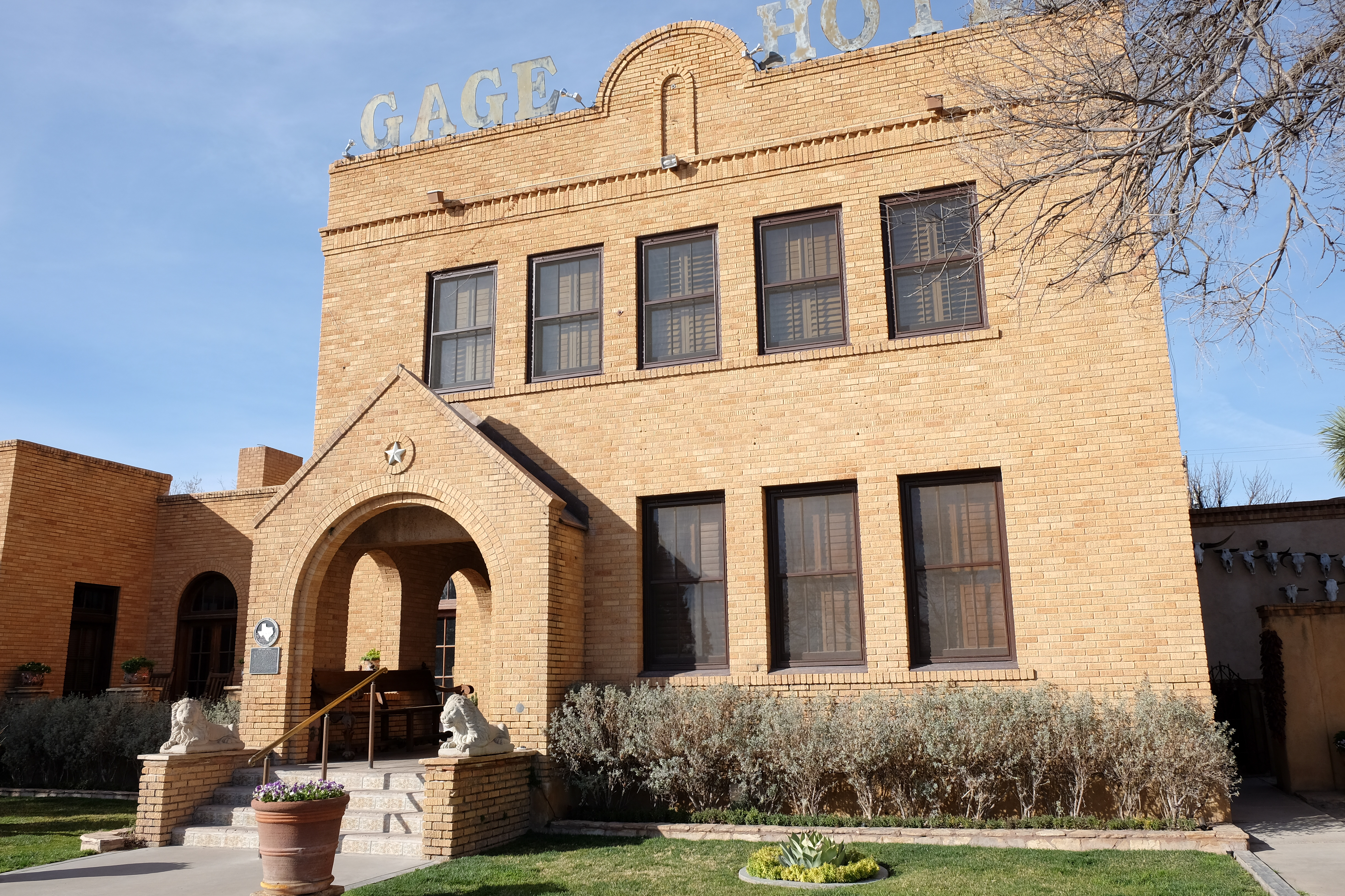
The Gage Hotel was used as a filming location for Wim Wenders’ “Paris, Texas”, which, confusingly, barely touched ground in Paris at all.
Westward Ho to Alpine, seat of Brewster County and nearly a mile high in elevation. Most of Big Bend National Park is in this county, and the famous ghost town of Terlingua is also in this county. Richard Linklater’s award-winning film “Boyhood” was filmed in part in Alpine.
Amanda Marcotte, one of my favorite bloggers from The Guardian and Slate is from Alpine.
Last stop for day one was Marfa, Texas, seat of Presidio county and located in the middle of the Chihuahuan desert. Marfa is turning into a Taos, or Santa Fe kind of artist colony. The license plates of the cars are no longer Texas, but New Jersey, California, Massachusetts… Very well-dressed folks making their way through the dusty little streets of this famous old Texas town.
Flash: After seeing this blog, one of my cousins sent the following story about Marfa:
“We went to Celia’s dive for breakfast and the locals asked us where we are from, when we said Houston, they said, what are you doing out here, we said seeing the art and they responded, what art?
A place well know to The NY Times but not the locals!! “
In Texas we affectionately refer to people from Marfa, or who live there, as “Marfadites”. Yeah, it’s politically incorrect…but there you have it. We love Marfadites of all kinds, so don’t get personal about it…
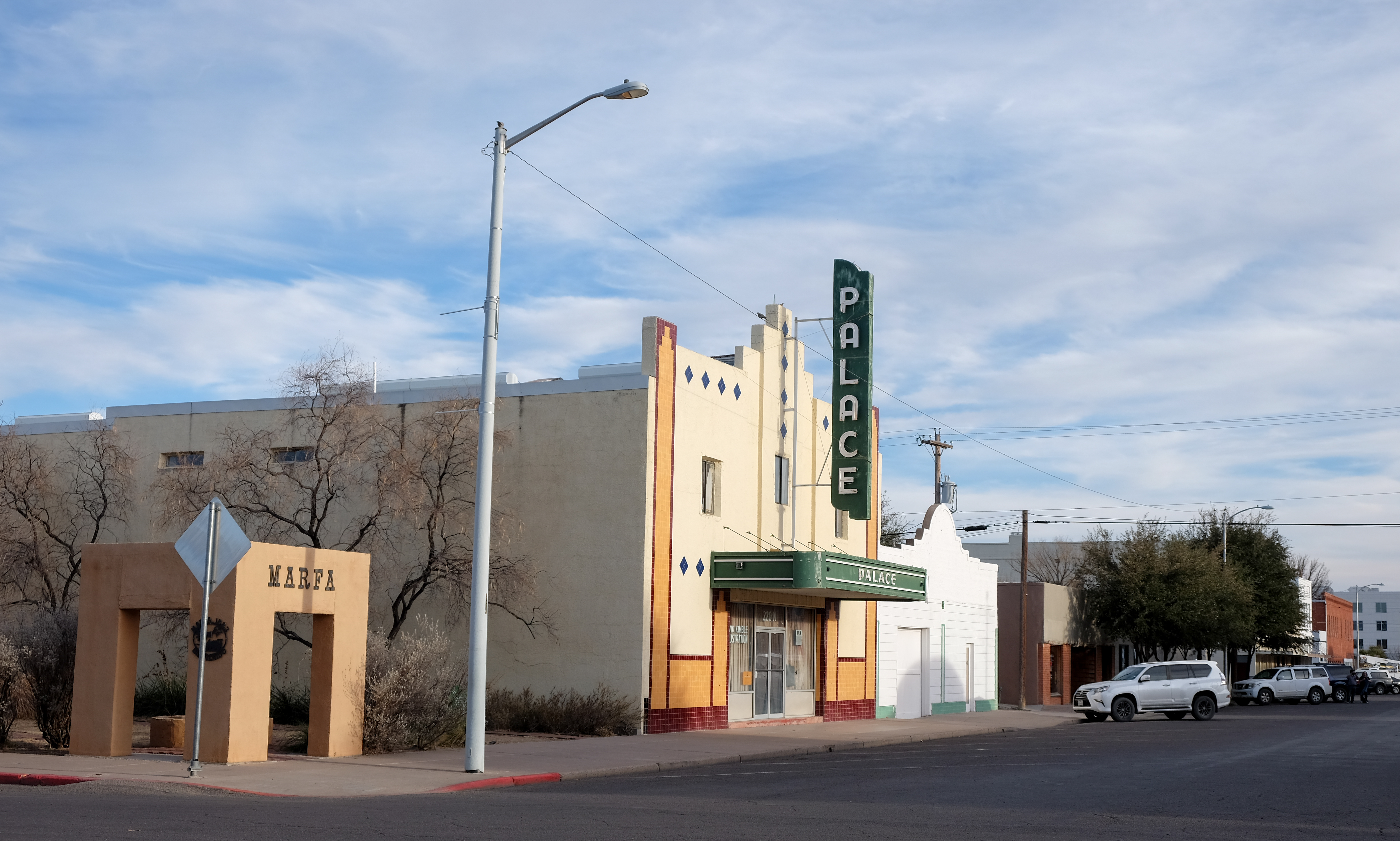
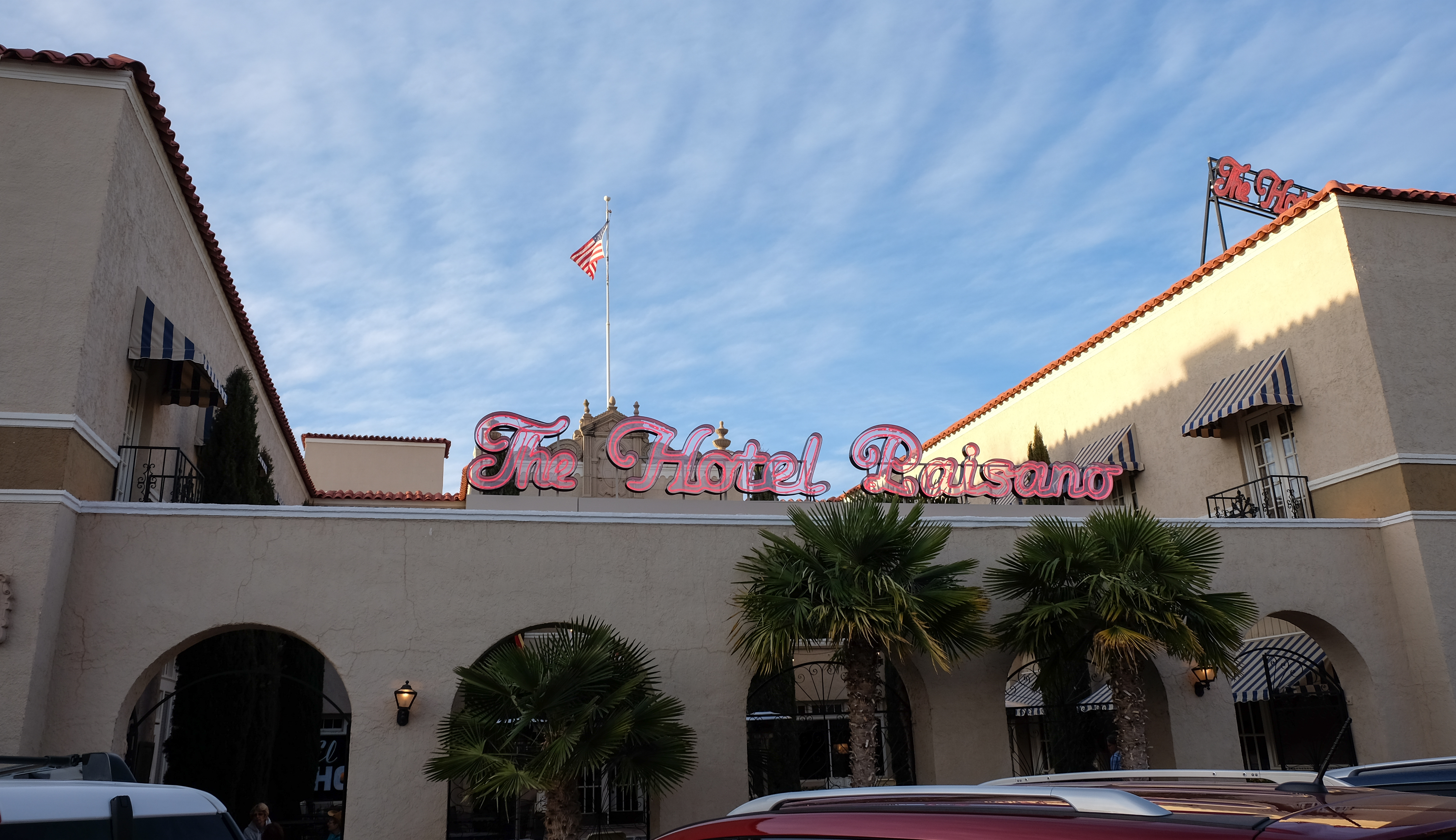
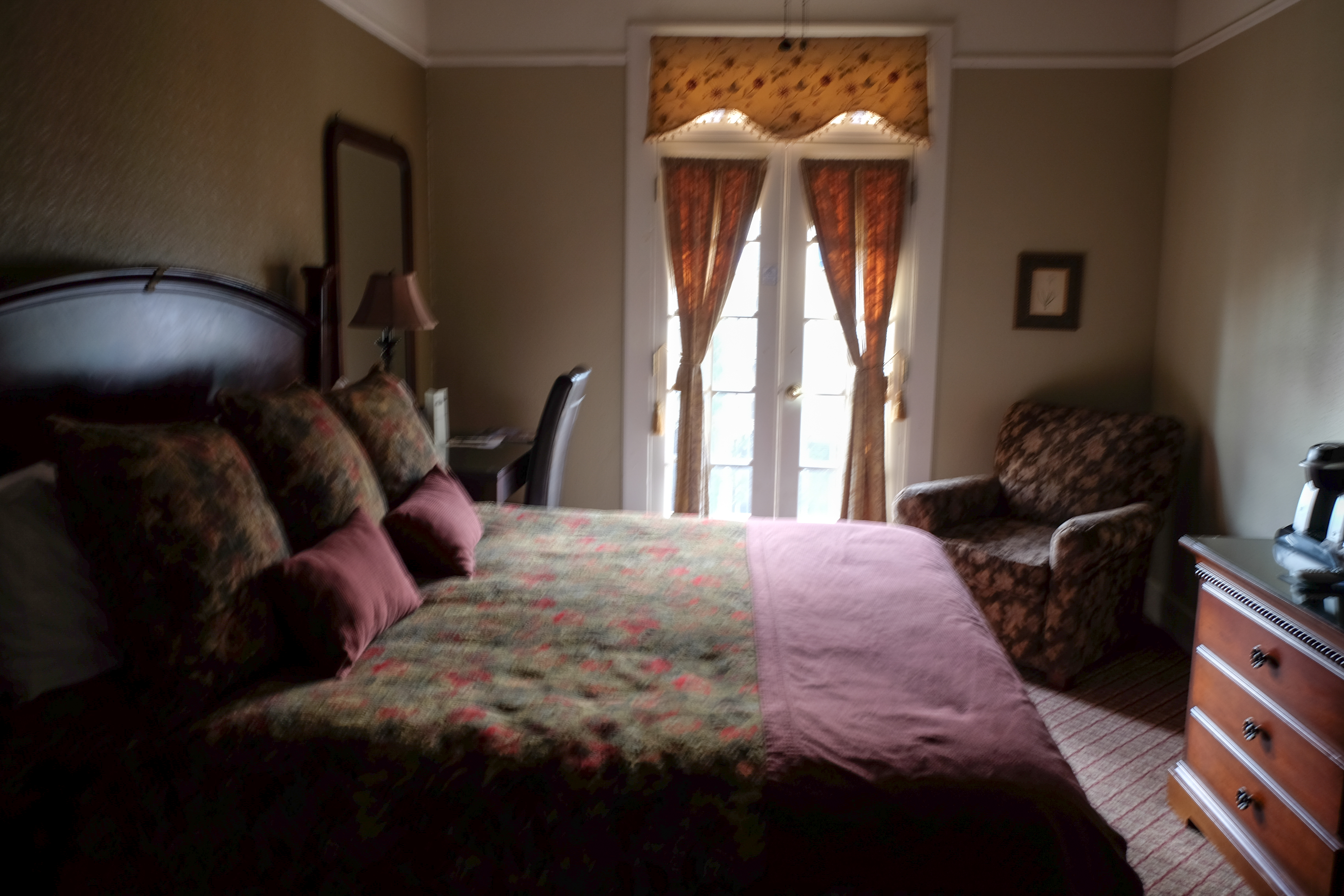
I overnighted in the Hotel Paisano, which was where Rock Hudson, Elizabeth Taylor and the rest of the crew stayed when they were filming the legendary 50’s movie Giant. They also filmed There Will Be Blood and parts of No Country for Old Men here.
Marfa is also famous for the Marfa Lights, an unexplained nighttime phenomenon that occurs seasonally between Marfa and Paisano Pass.
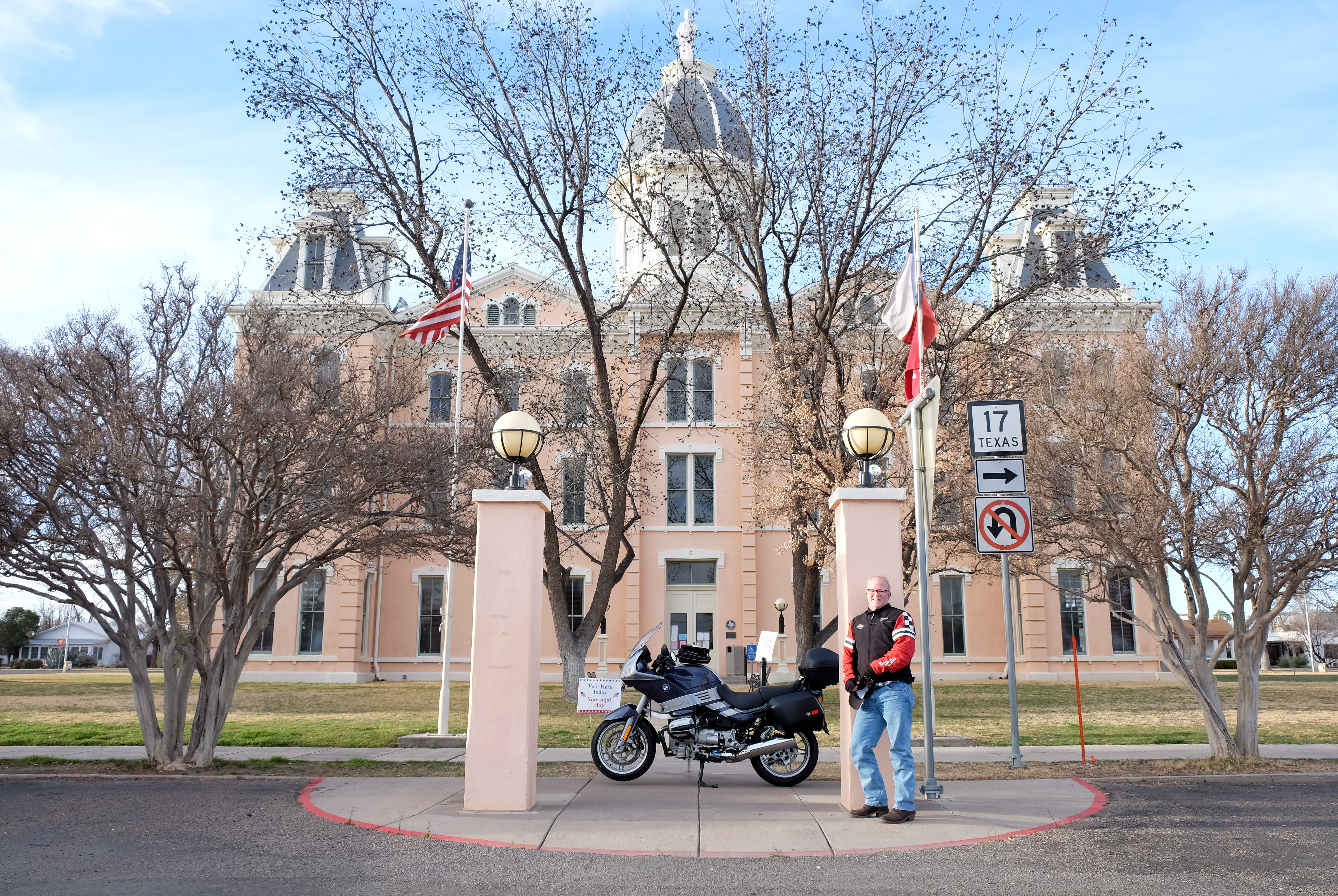
Up early the next day for the beautiful, crisp morning ride to Fort Davis, seat of Jeff Davis County, one of the most beautiful little towns in Texas… There actually was a Fort Davis, established in the 1850’s, and nowadays the area is most famous for the McDonald Observatory, located in the Davis Mountains west of Fort Davis.
It was in Fort Davis – in the county named after Jefferson Davis, president of the Confederacy – that I began to realize how many counties and places in Texas are named after Confederate figures, mostly military. Subsequent research shows that 26 of the 254 counties in Texas are named for Confederate soldiers or participants. I’ve always felt that the Confederacy was much more of a Deep South abomination, of which Texas was the caboose tagging along behind. That is, in fact, a charitable viewpoint – the legacy of the Confederacy – and a goodly amount of associated attitude – is still there in the air of Texas. History is history, but you have to wonder how sensible it would be for Germany to name its prominent places after Nazis, or Rwandans to commemorate the valor of the Hutu genocideurs, or South Africans to celebrate the heroes of apartheid. Maybe they all do, but you’d think in this day and age it would make people think twice…
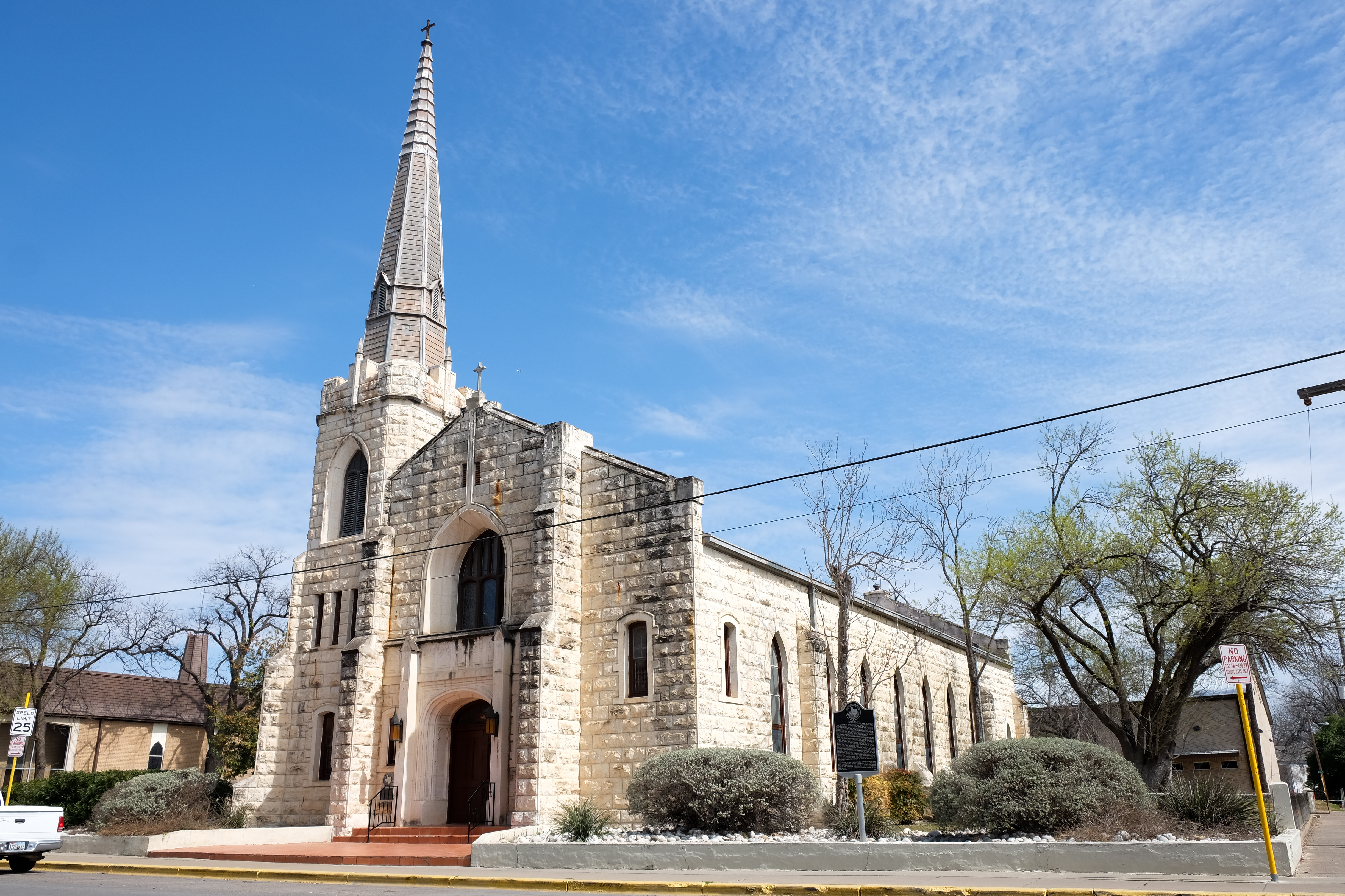
Upon seeing the next photo, my mother observed that “even YOU might like to go to church in that place…”. No mom, no such luck, but no denying the beauty of it.
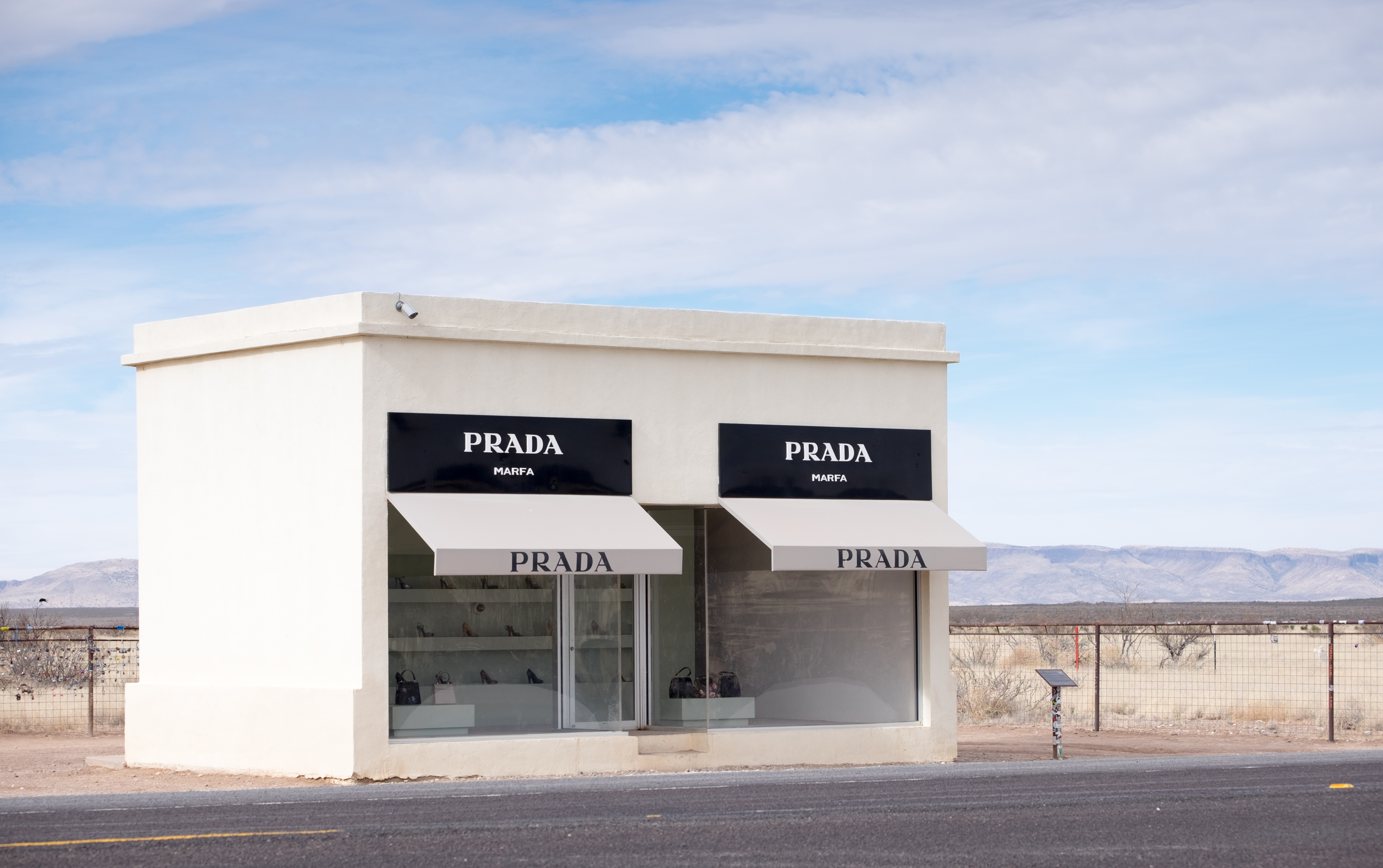
Who wouldda thunk it – a Prada store out, quite literally, in the middle of nowhere..
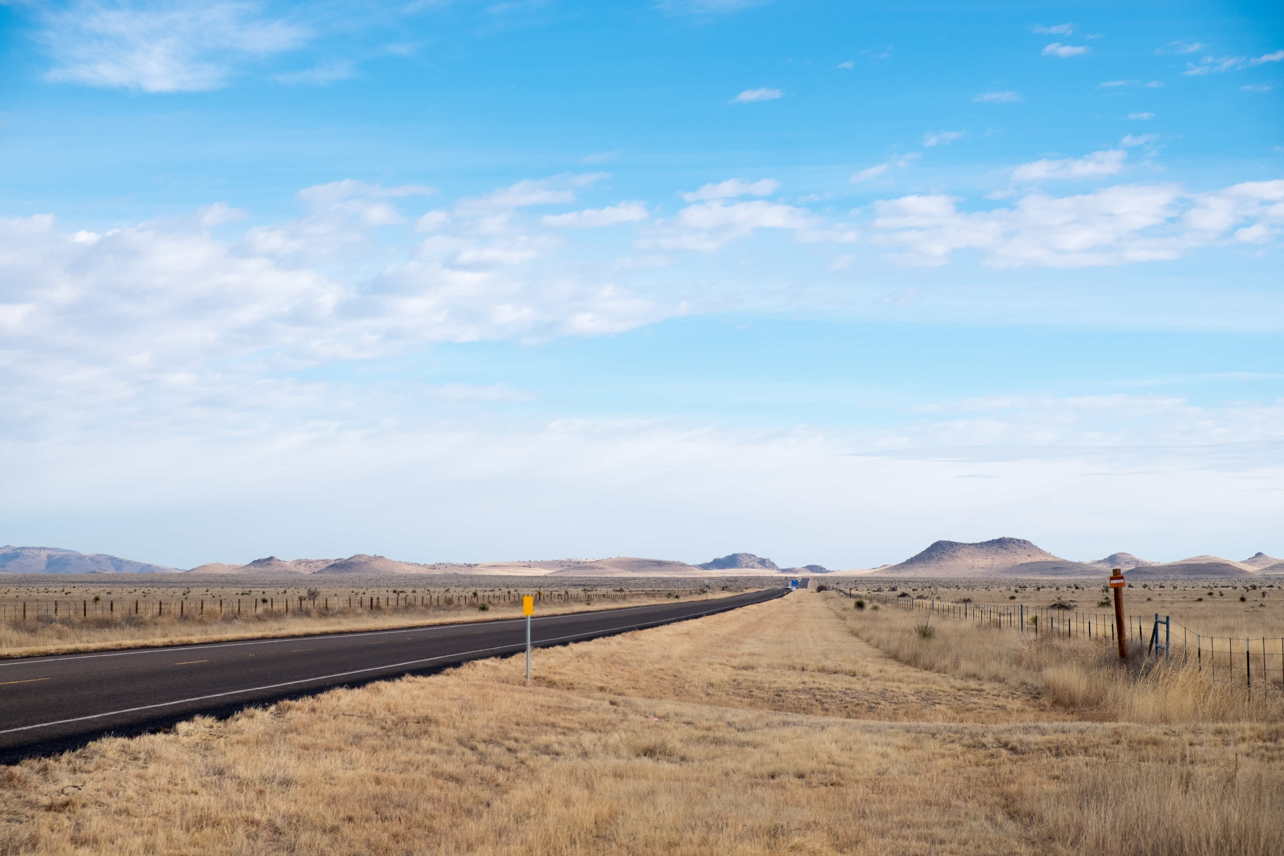
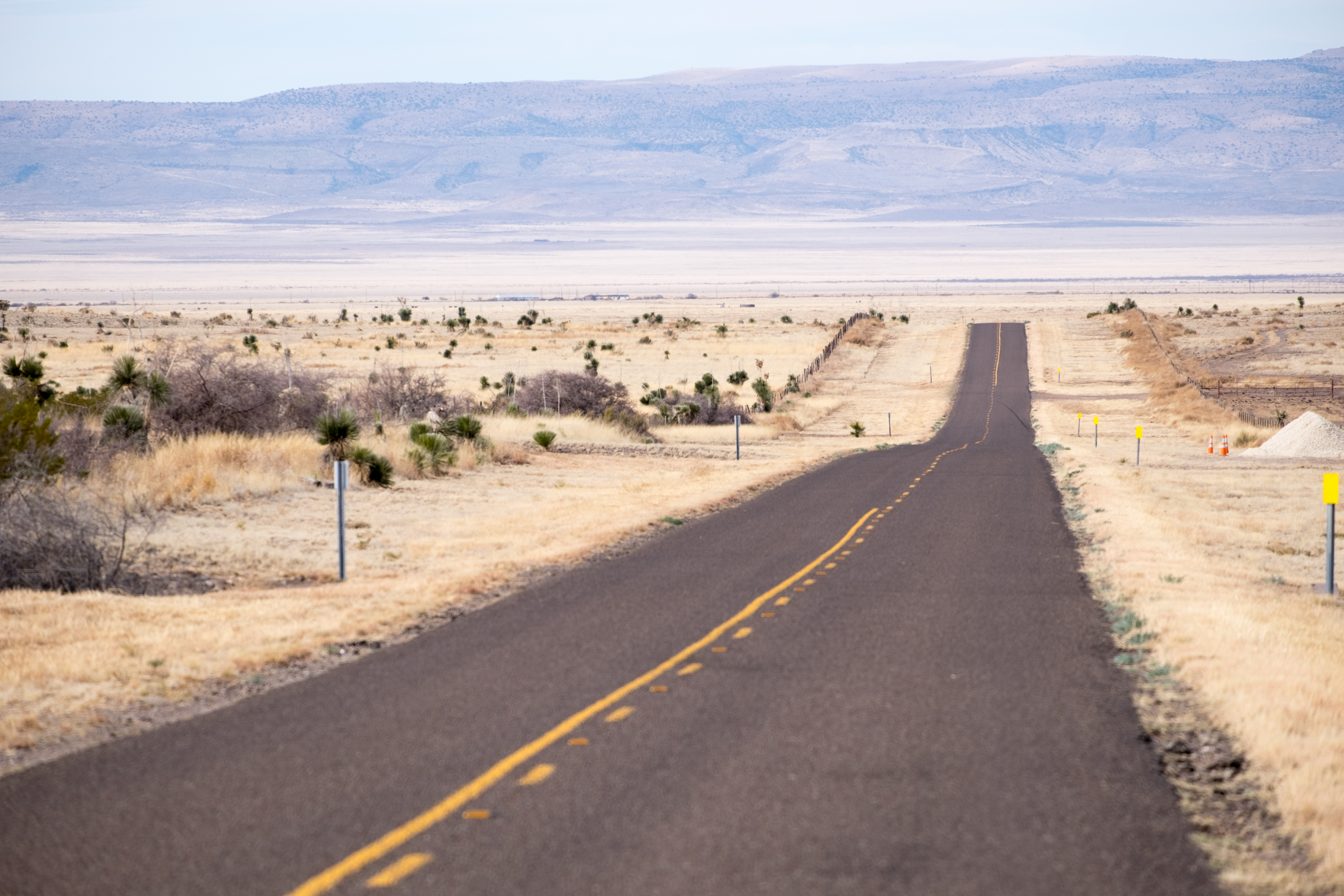
You can kind of see how these roads lend themselves to speed. Less than an hour after I took this photo, I was parked on the roadside explaining to the Highway Patrol why I was doing 92 in a 70mph zone. My convincing answer was that the scenery was so beautiful that I was not – dadgummit – watching the speedometer closely. I was advised that at that speed I would not get a ticket, I could be arrested. Lucky for me I had already slowed down by the time I got clocked, so I was sent off with the observation that a man my age needed to be more careful. Of course I promised to do so – I’ll be careful to keep a closer eye out for cops…
His warning about the possibility of arrest turned out to be substantiated later this day in Kermit – stay tuned for that…
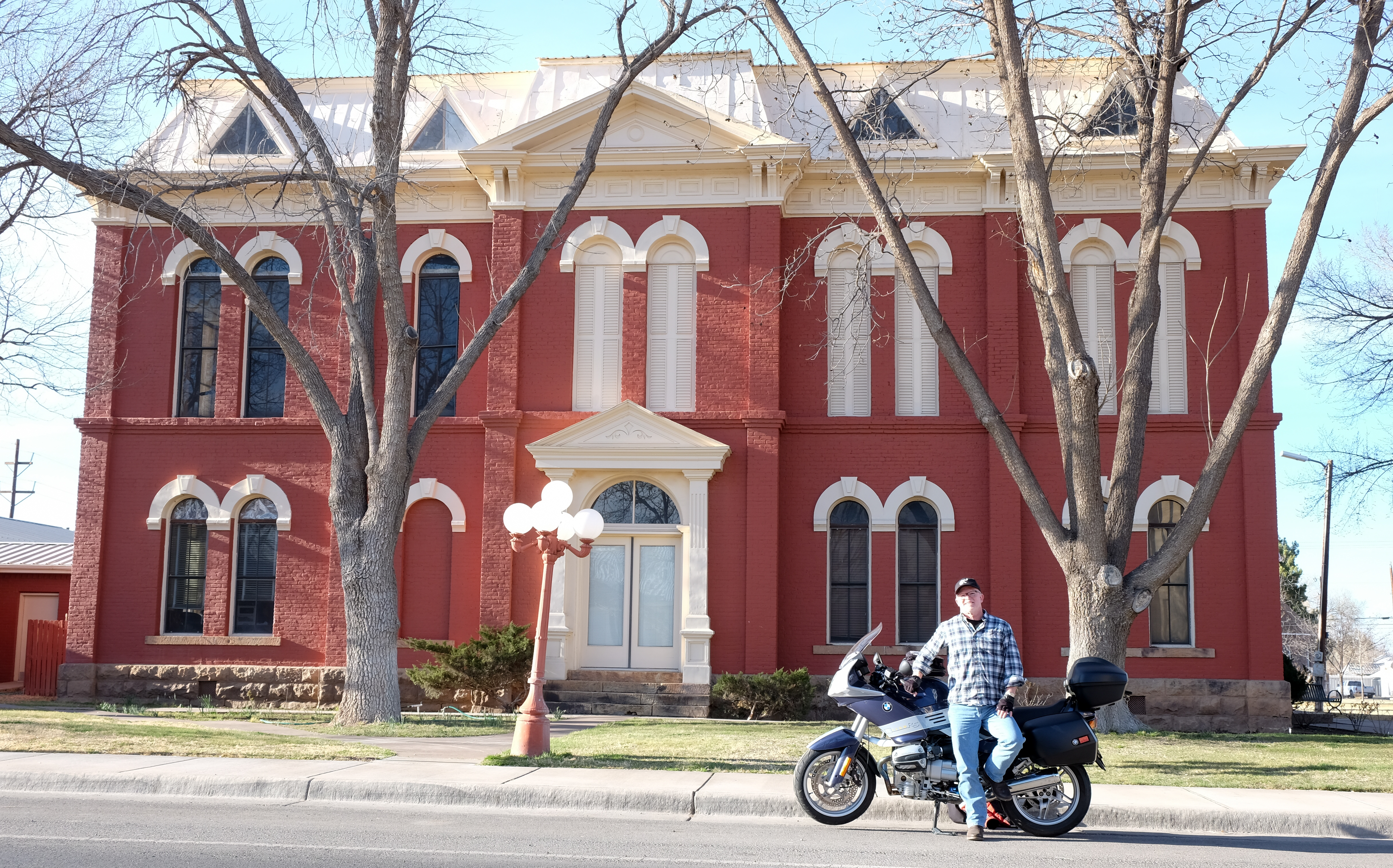
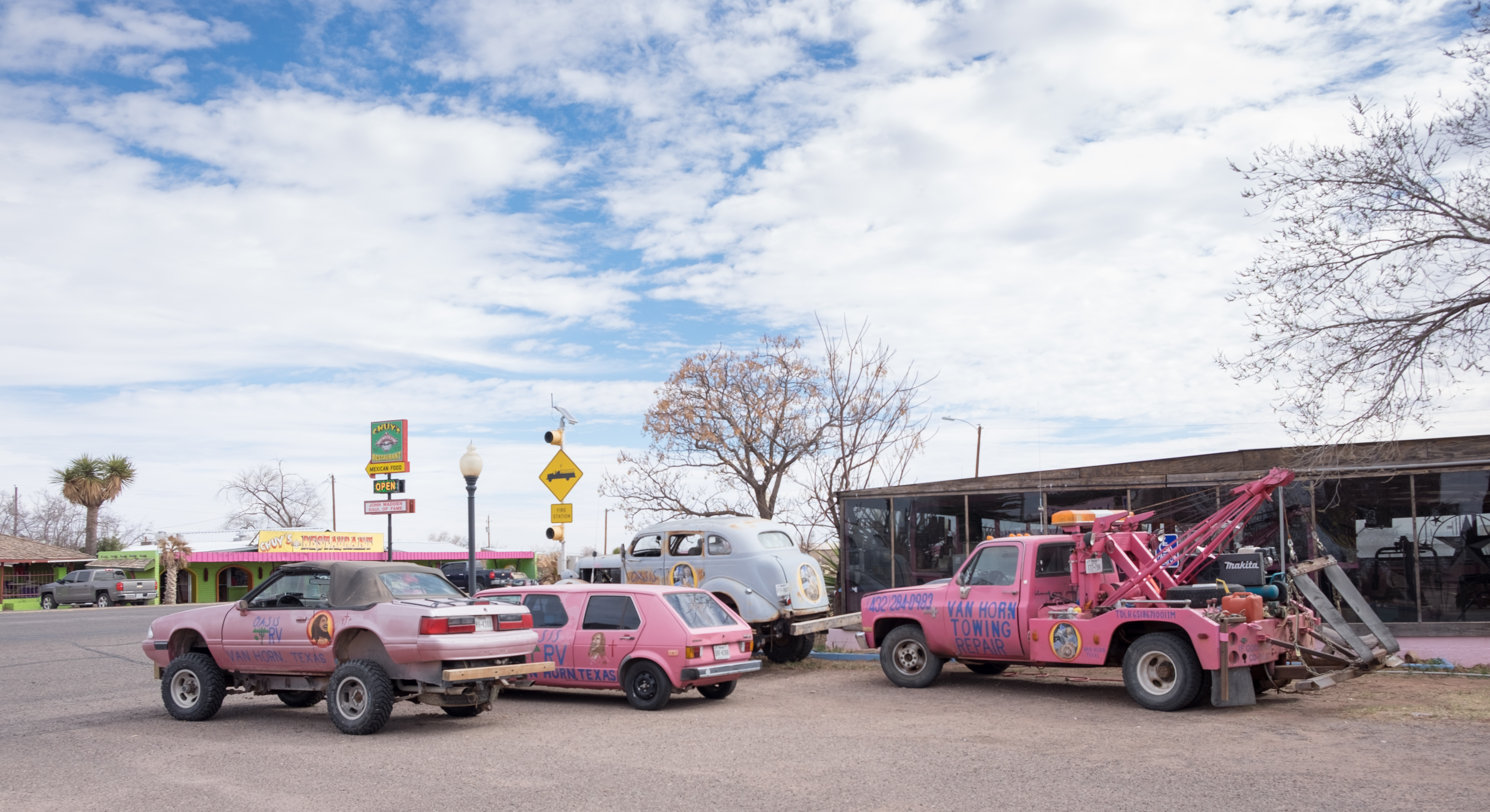
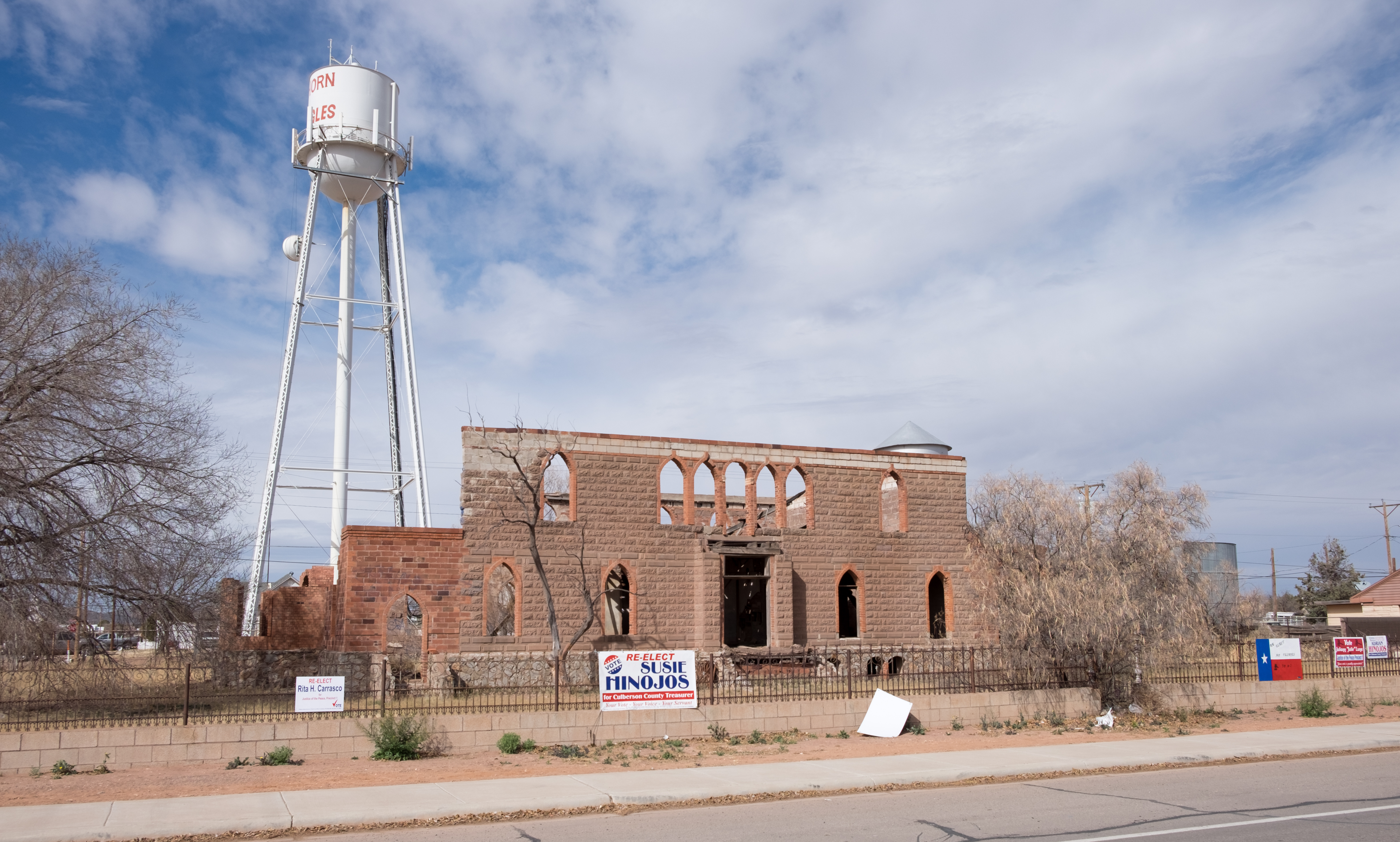
Next stop, Van Horn, seat of Culberson County – a desolate town in a beautiful, spare countryside. The court house here looked more like the medical facility where my father is currently resident, but maybe they find a way to do double-duty in Van Horn…
Van Horn was named for a Union Lieutenant who commanded a garrison beginning in 1859, but then he was taken prisoner when the Confederates overran the garrison in 1861. At that time this was Comanche country, and you’d think these people would have had better things to do that play Blue vs. Gray out here…
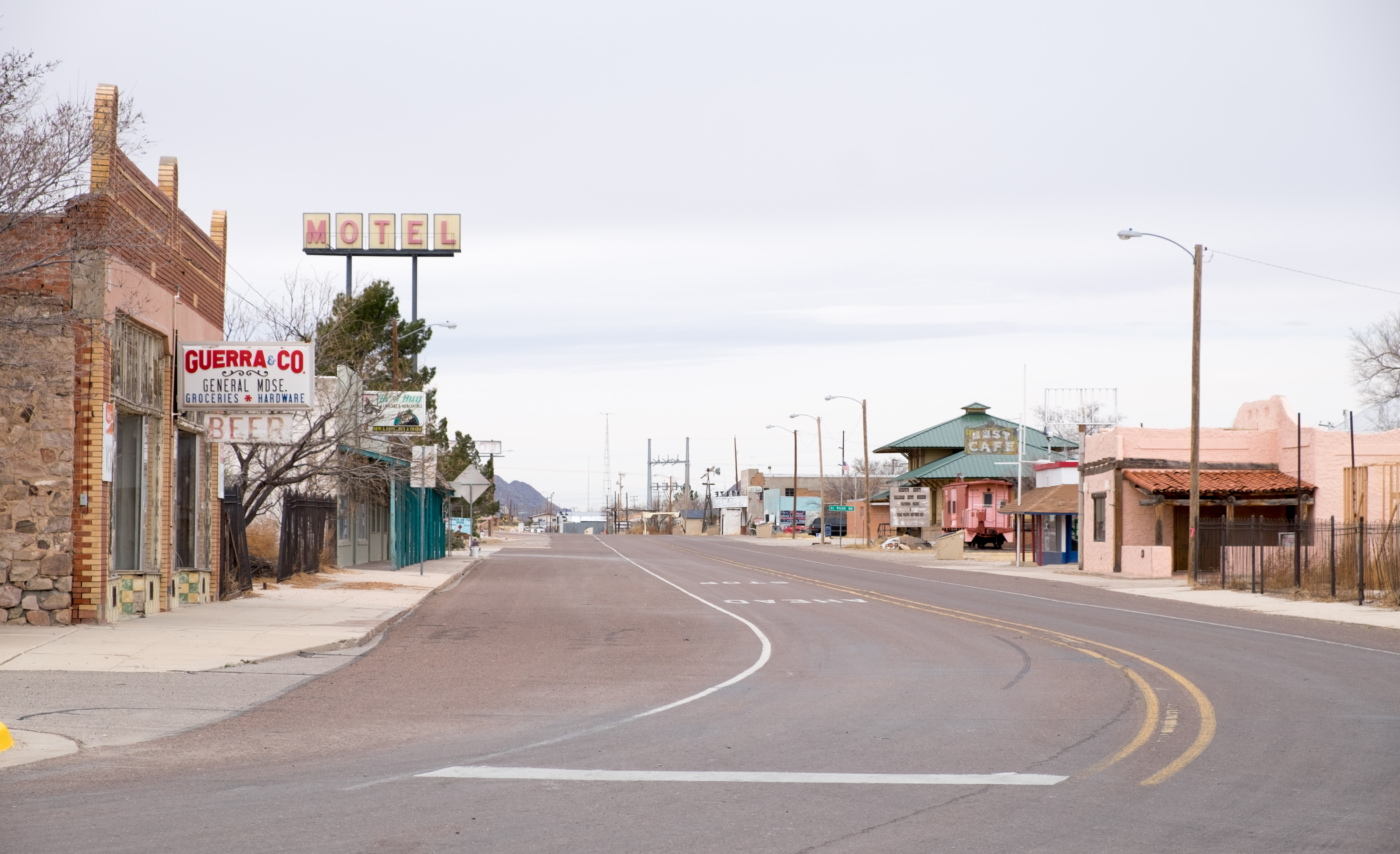
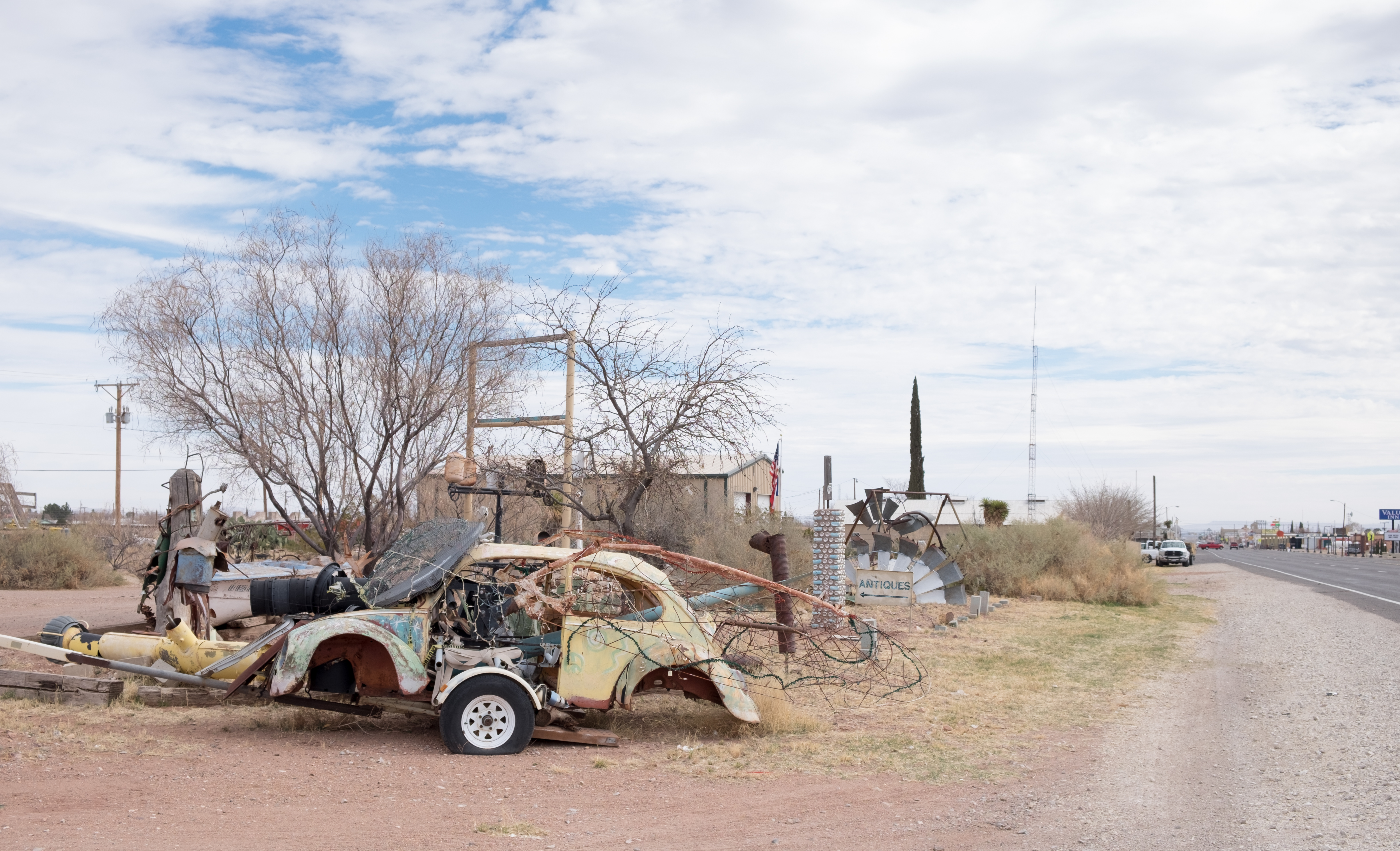
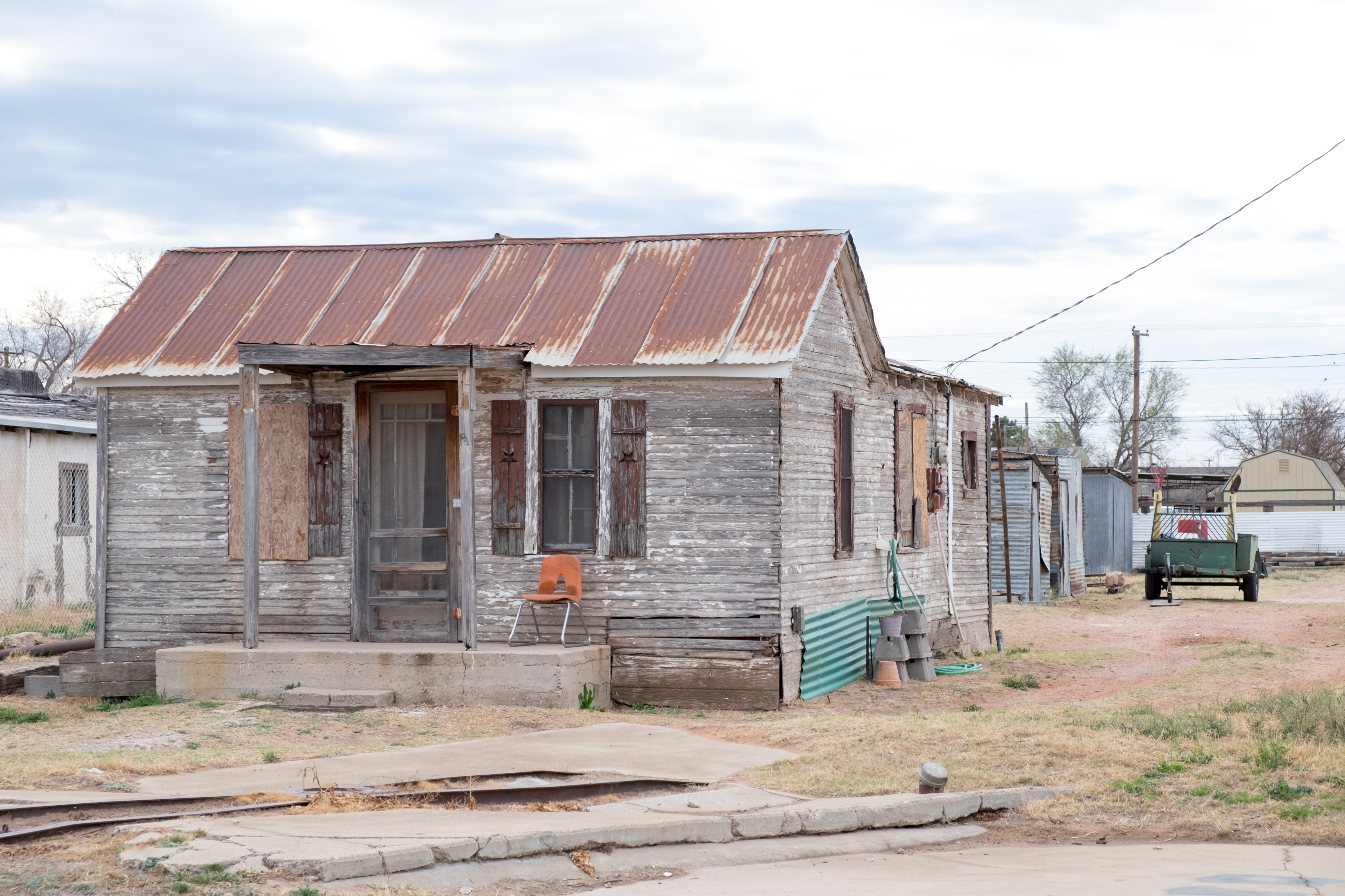
And on to the last stop before metropolitan El Paso, Sierra Blanca, seat of Hudspeth County where Depression-era America still lives. I felt like the reincarnation of Dorothea Lange or Walker Evans creeping through the dusty ramshackle remains of this little town…
A lot of famous people have visited Sierra Blanca – under arrest, usually for drugs. The list includes Fiona Apple, Nelly, Snoop Dogg, and Willie Nelson. Of course with Willie the list would probably be shorter of places in Texas he has NOT been arrested for possession of weed.
From Sierra Blanca I went on to the western-most point of this trip, El Paso, seat of El Paso County. Until you get downtown, coming into El Paso looks like the tacky urban wasteland of discount clothiers, fast-food joints, car dealers, and bail bond shops that make every single American urban or sub-urban entry point look exactly the same. It’s pretty horrible.
El Paso has a vivid and tumultuous history, and was at the apex of all sorts of conflict between Mexico and Texas (or the US). It was once known as “Six Shooter Capital” for obvious reasons, and was a center of reckless abandon and easy love until the US cracked down, driving that type of activity across the border to Ciudad Juarez – like practically ever other border town during my youth. The War on Drugs, while not ending any drugs, effectively ended the cross-border entertainment industry.
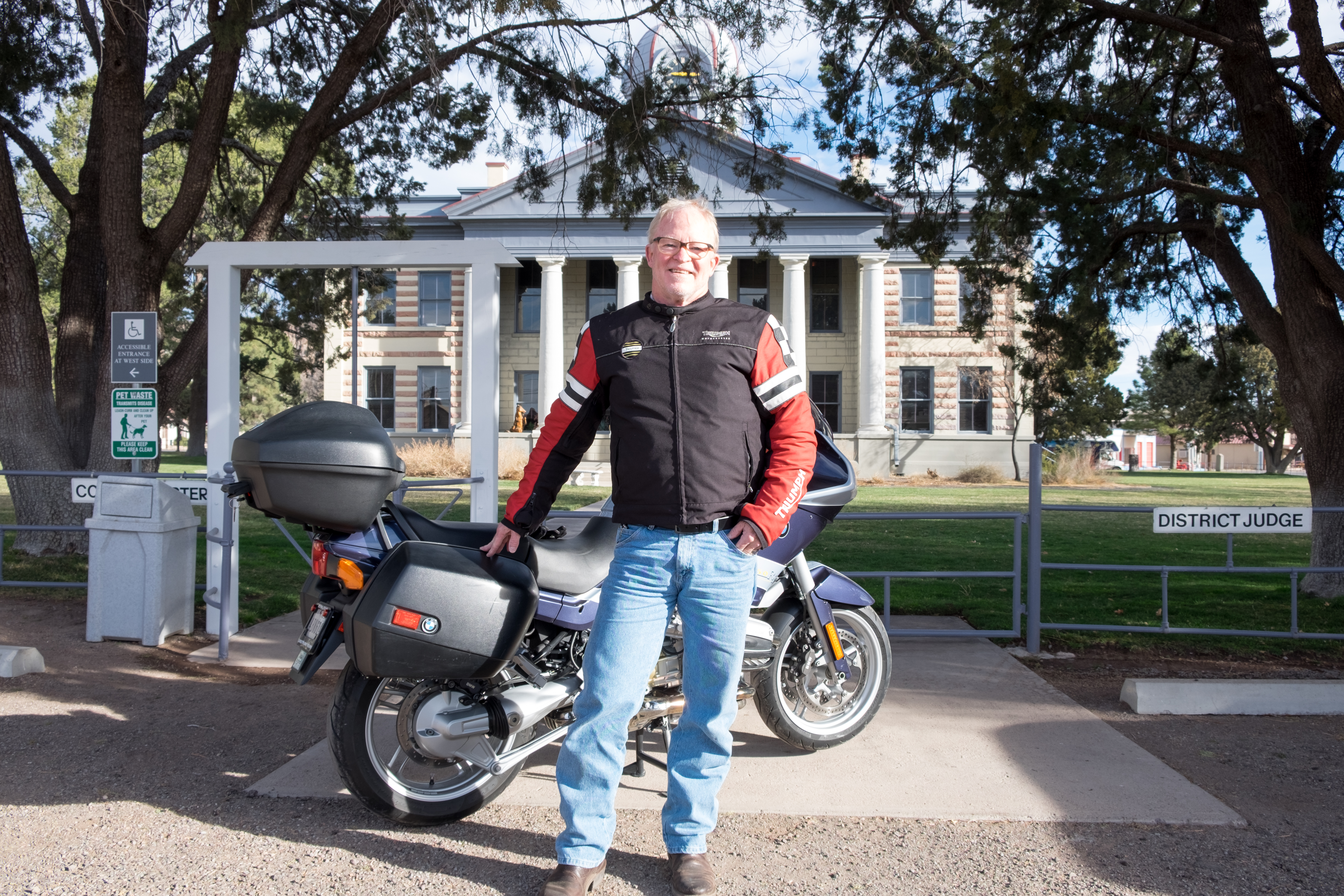
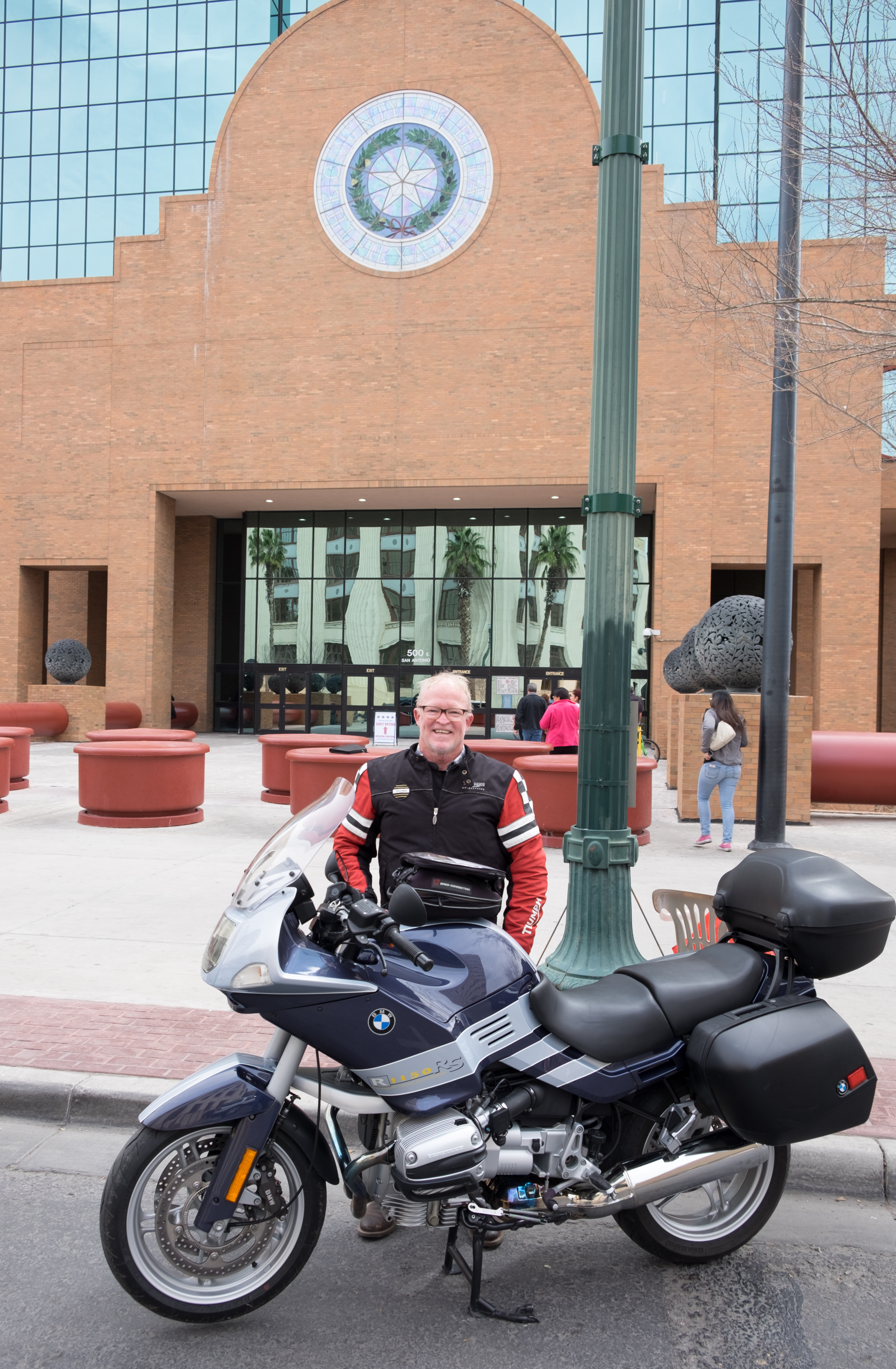
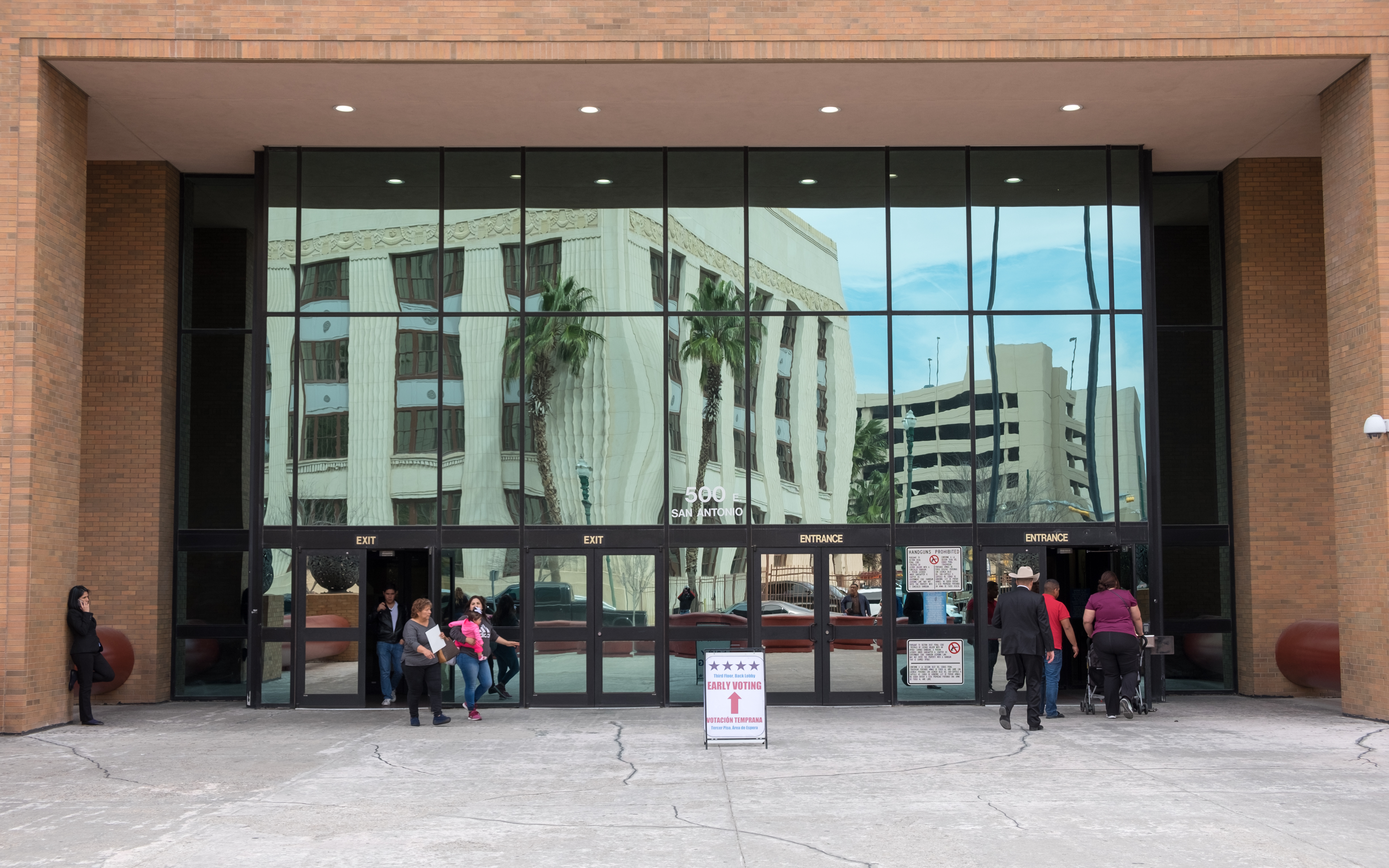
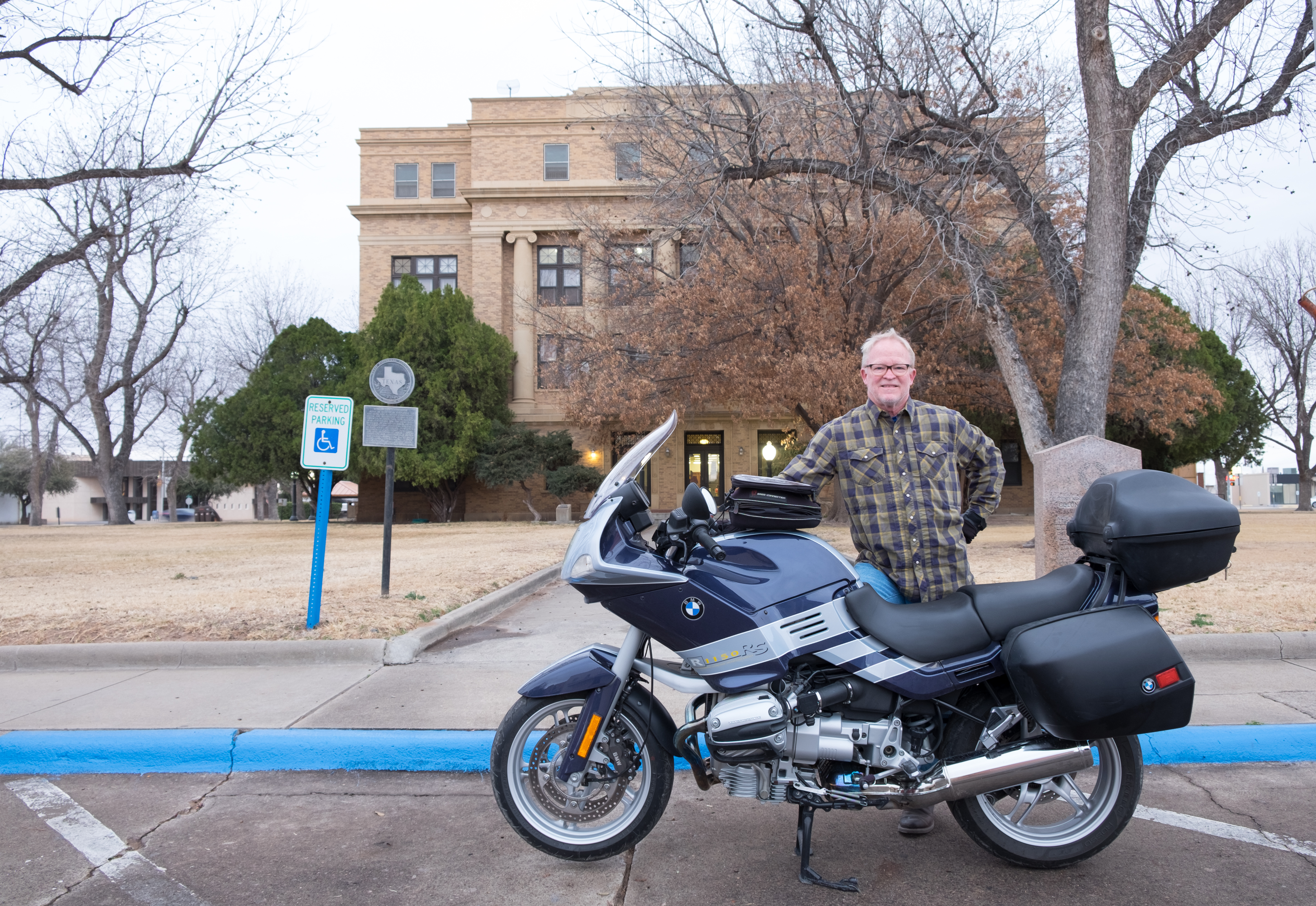
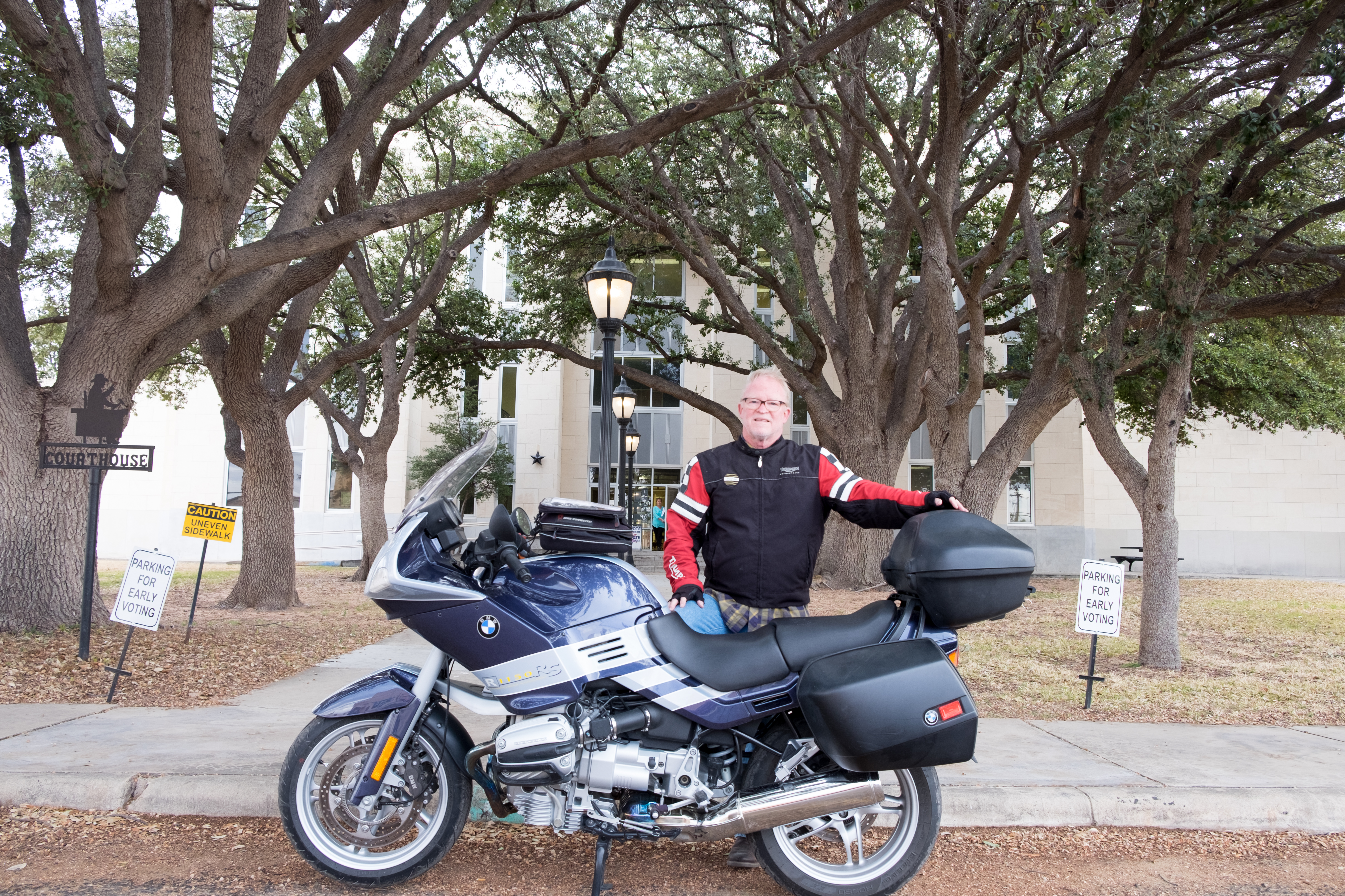
Downtown El Paso looks quite busy and prosperous. The courthouse was huge, modern, and beautiful. I was afraid to fool around with my tripod in the busy and policified area in front of the courthouse, so a man loitering around in front got my obligatory photo taken, and I then remounted and headed right back out of town on what turned out to be an anxious 4 hour run through the wilderness along the border between Texas and New Mexico…but here’s El Paso (I was singing Marty Robbins’ song El Paso in my helmet all the way from Sierra Blanca to El Paso…)
Despite being on the border of a country filled with criminals and rapists (according to Donald Trump), El Paso has since 1997 been in the top three safest cities in the United States. And they don’t even have a wall!
Beto O’Rourke, for whom I campaigned later in the year, is from El Paso. (When I was in El Paso on this trip, I had never even heard of Beto…)
Pat Garrett, John Wesley Hardin, and Pancho Villa are all associated with El Paso, as are modern-day celebrities Anthony Quinn, Debbie Reynolds, Sharon Tate (RIP), Stevie Nicks, Jimmy Carl Black (of my beloved Mothers of Invention), and singer-songwriter Tom Russell.
On the way out of El Paso, I checked my fuel level and was certain that I’d make it to the next fuel stop, which according to a marker posted by the Highway Department was 28 miles away. This was the last sign I saw when leaving the outskirts of El Paso:
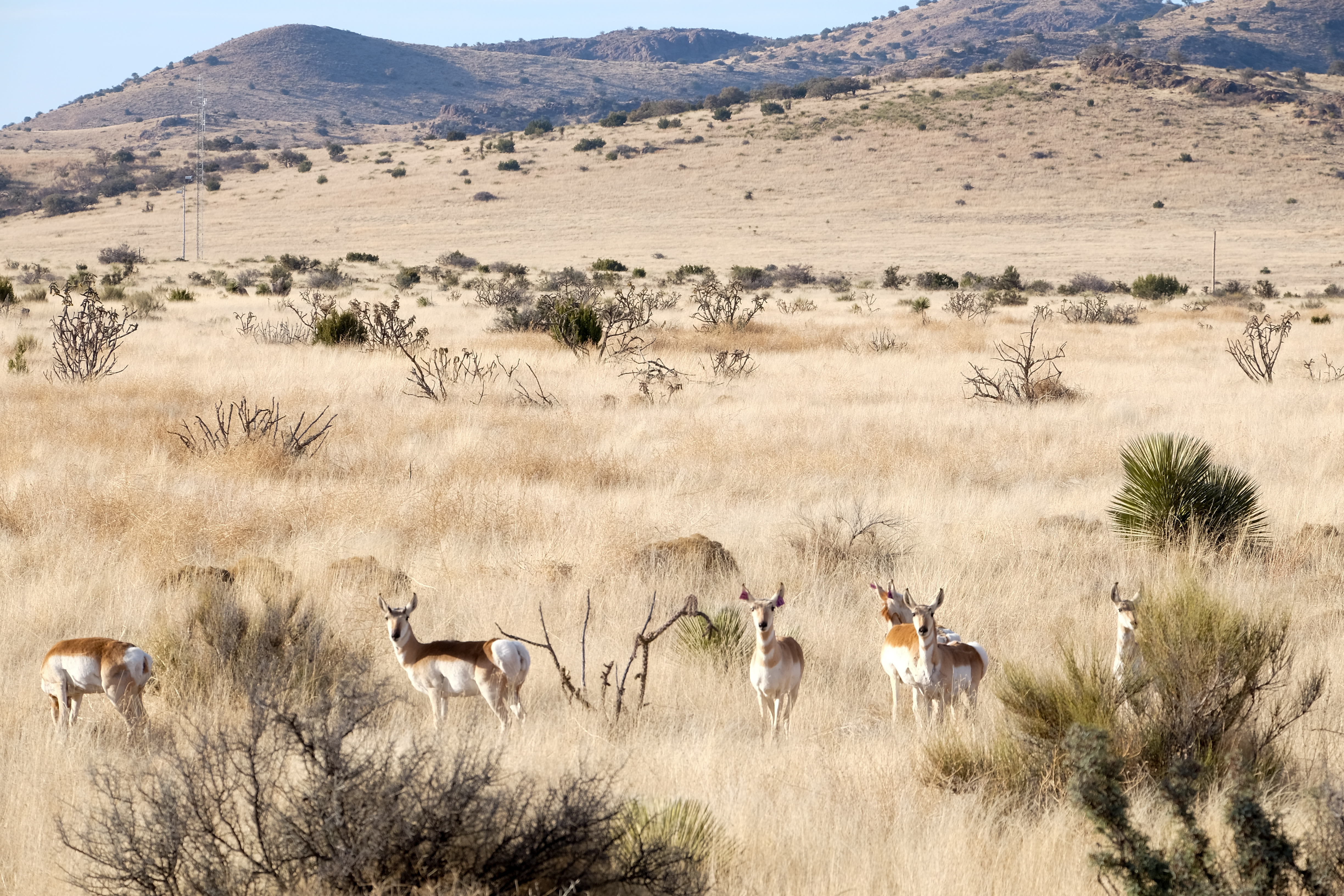
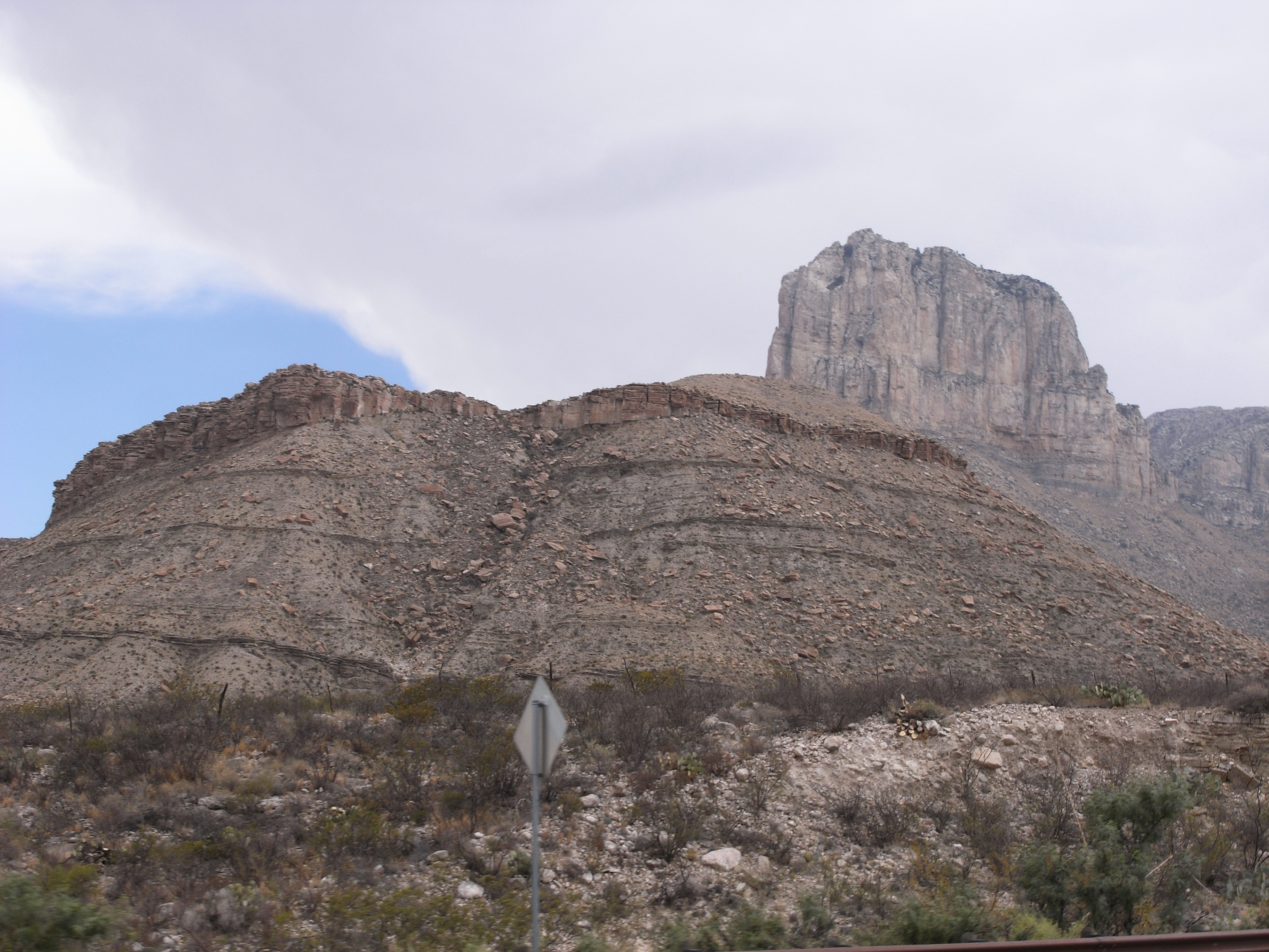
There was in fact no fuel at all until Carlsbad, New Mexico, which was well beyond the range of my bike. I tried to admire the scenery of El Capitan, the crown jewel of the Guadalupe Mountains…
…except that my fuel gauge showed empty and the yellow warning light had been on for what seemed like hours…
There was no gas station at the top of the climb, but I saw some Highway Department trucks making their way to their base near the park entrance. They filled up my tank – for free!! (never again a snarky comment from me about the Highway Department) – and I began the drop down from the mountains on what seemed like the Road to Perdition to the living hell of Orla.
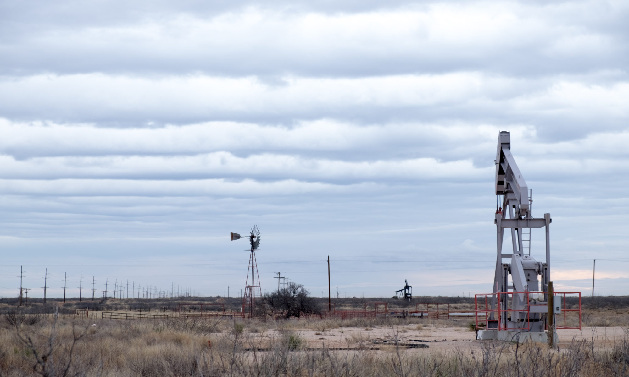
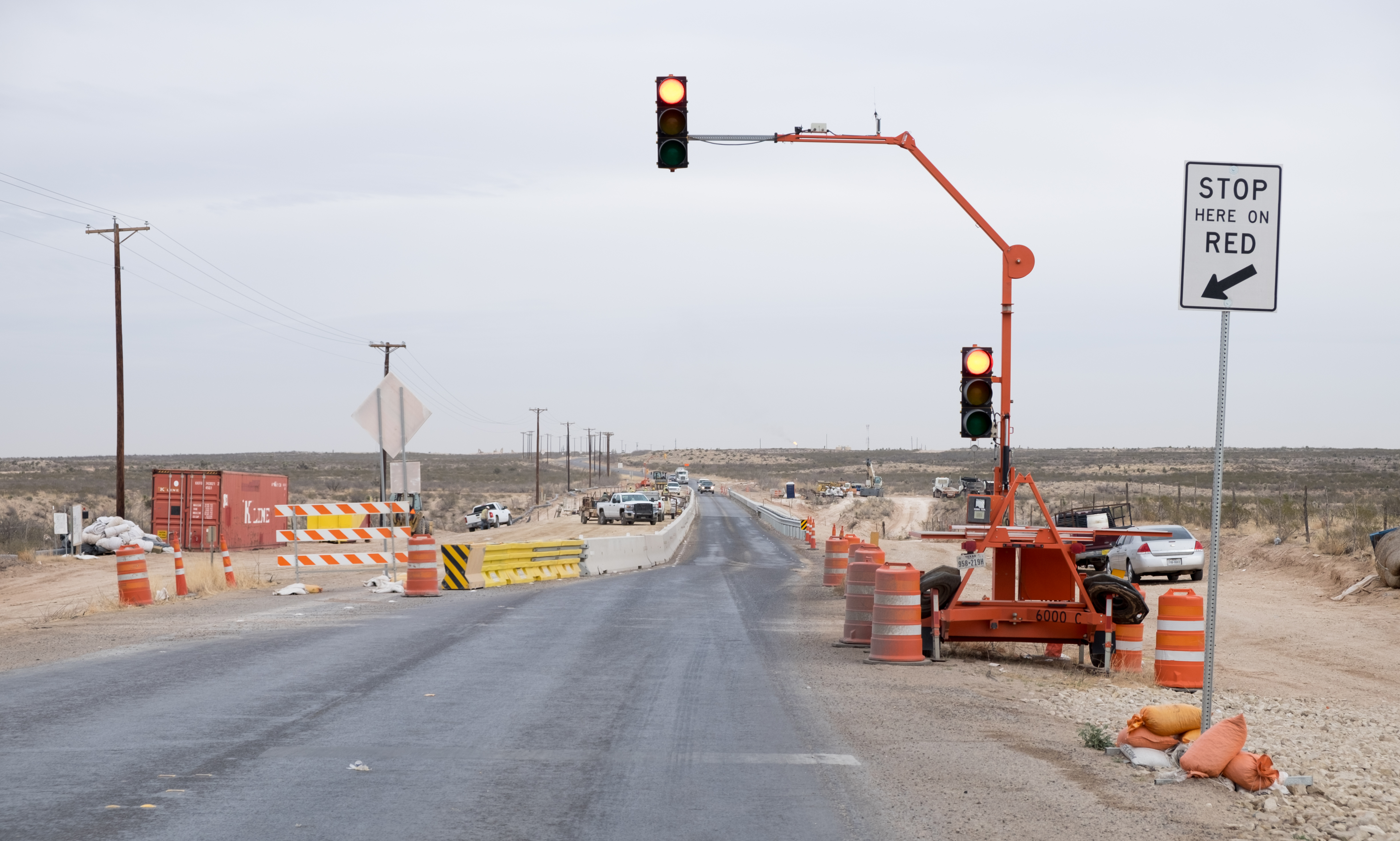
Heading east from the Guadalupe mountains you come to the beginning of what Texans call “The Oil Patch”. The road is “rough as a cob”, as my father was known to say, because of all the oil-field heavy traffic. As it happened, I came in to Orla just about quitting time for the roughnecks, who were all going the same way as me – a variation of “five-o-clock traffic”. The highway (283) had been turned by ongoing work, and heavy traffic of heavy vehicles, into a dirt track with strings of trucks and rigs that stretched – literally – for miles. The wind was howling from my starboard beam, gusting and blowing clouds of dust and dirt that made visibility just about nil. Luckily all the traffic was going my way, so I was able to pass 15 or 20 trucks at a time on the bike, cocked over to counteract the effect of the wind and hoping not to get shot for the crime of passing. I was not really inclined to do any photography, so there’s nothing to show for this epic part of the trip, other than this fine landscape and a picture of the road to Orla:
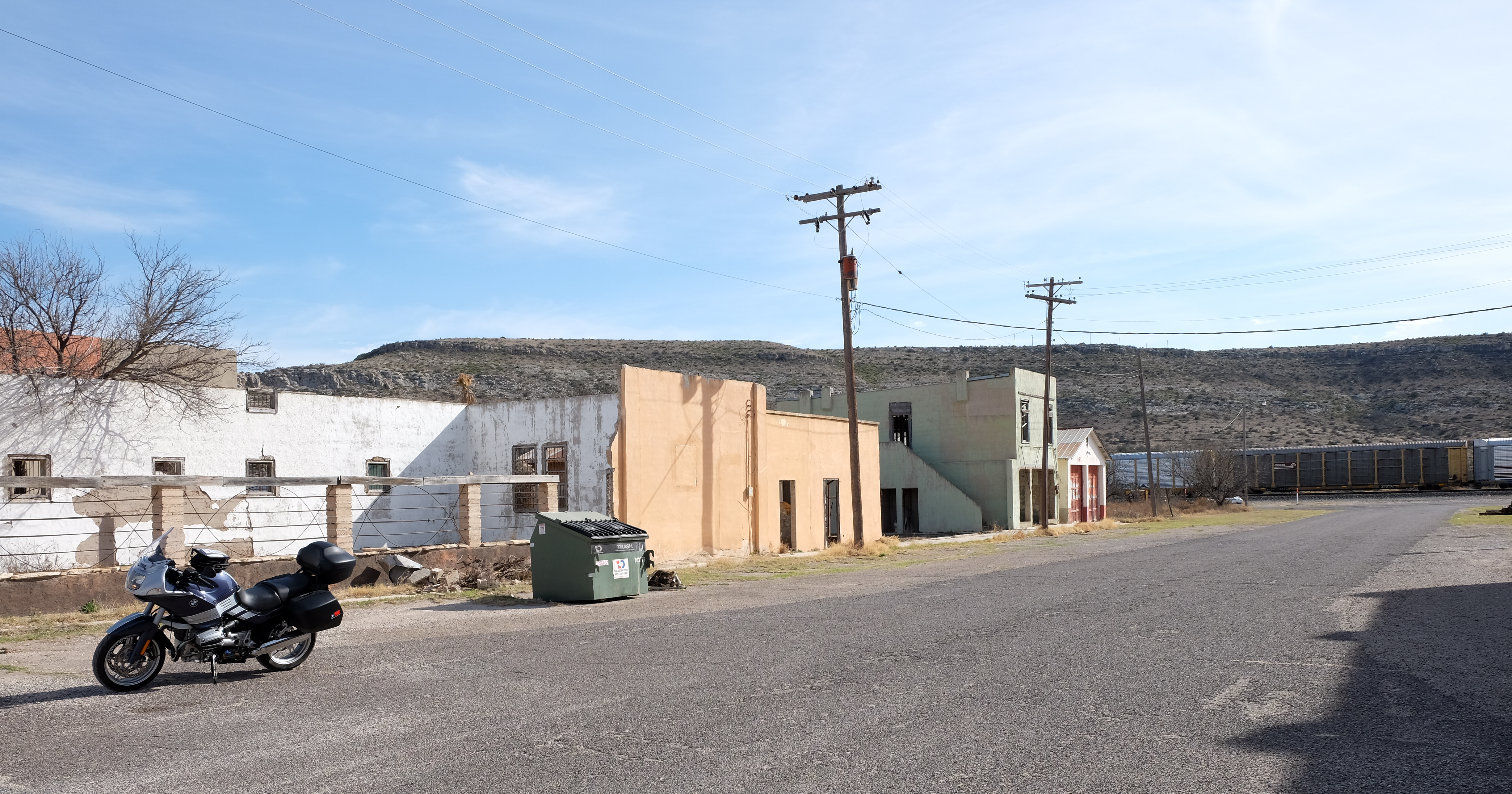
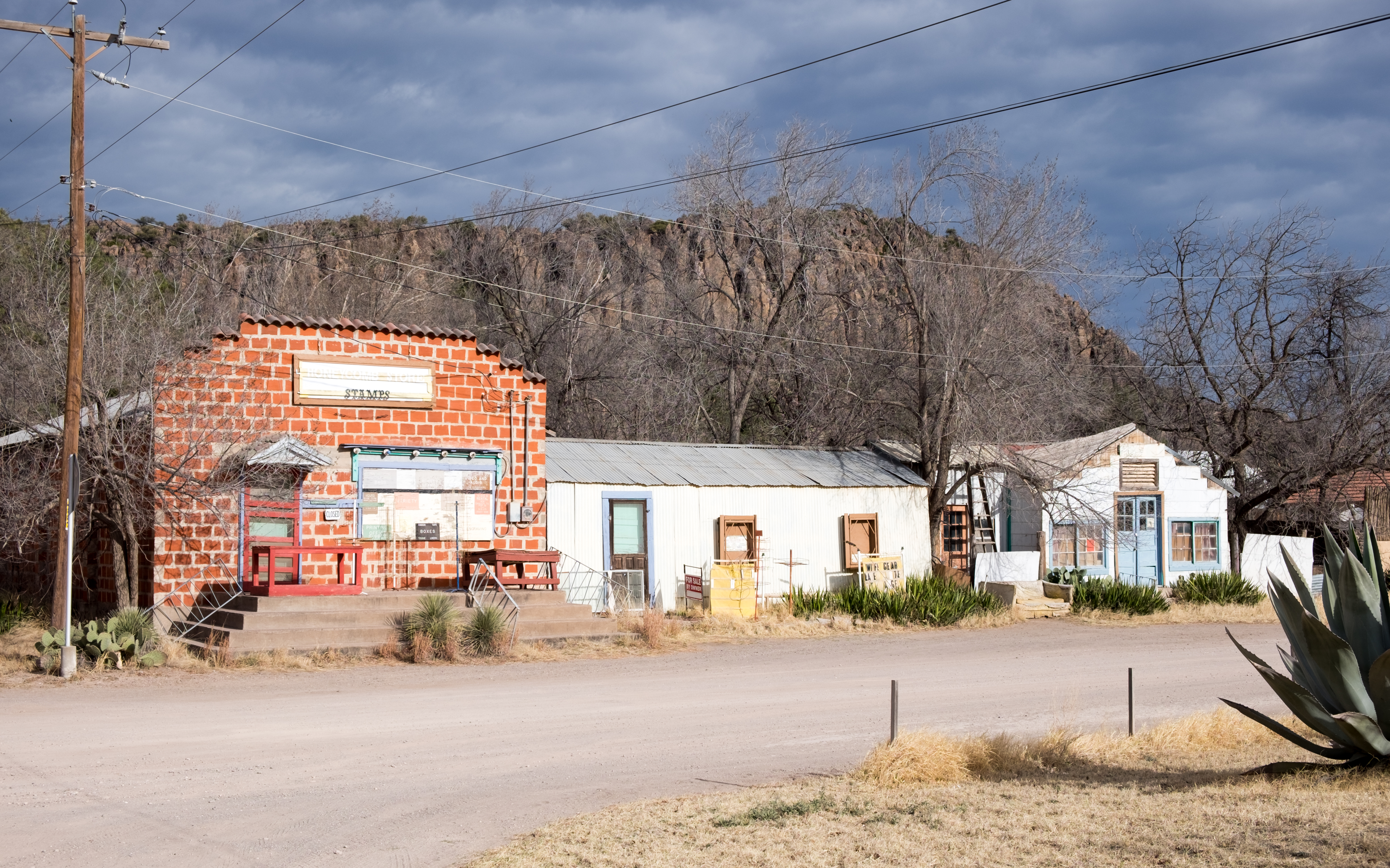
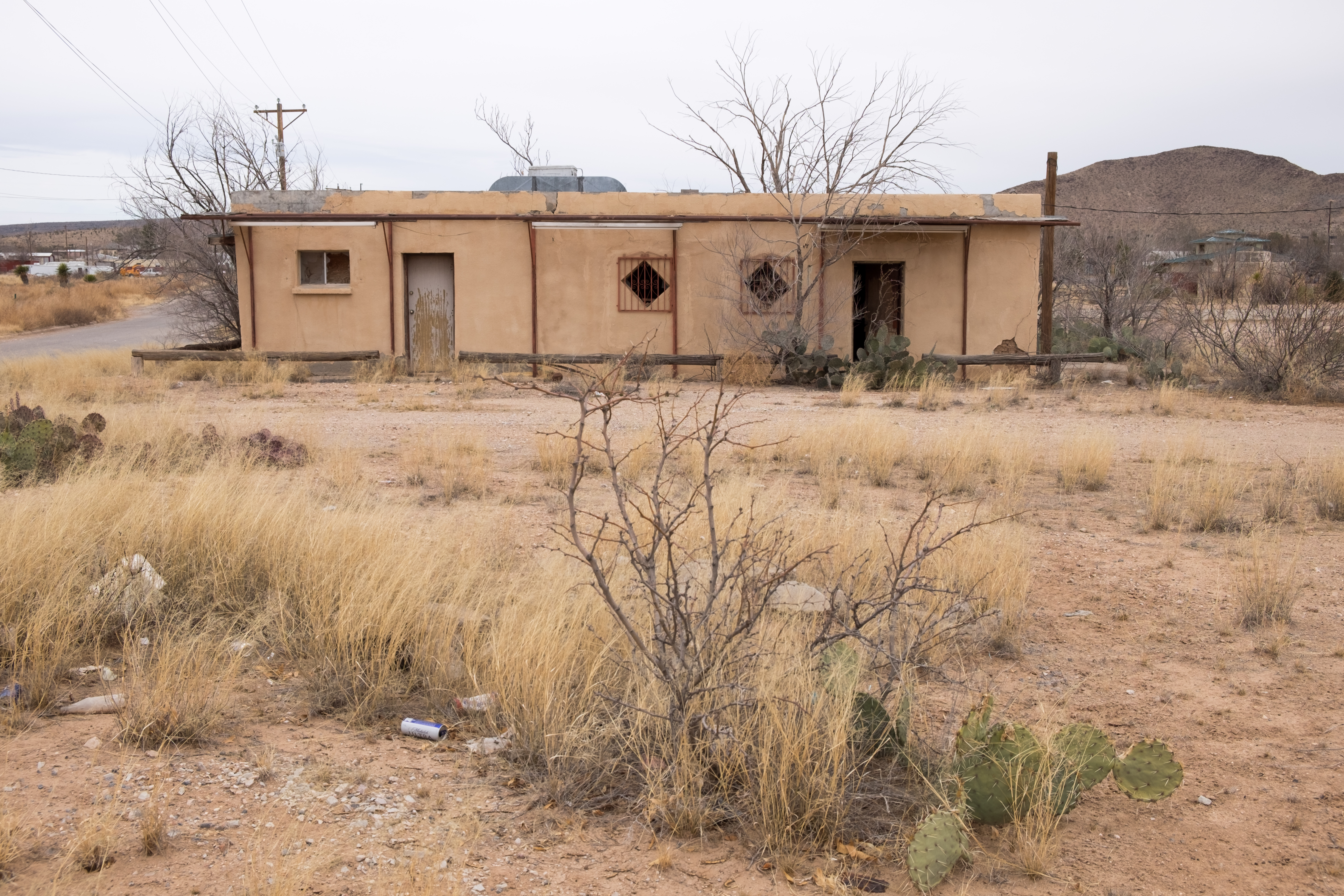
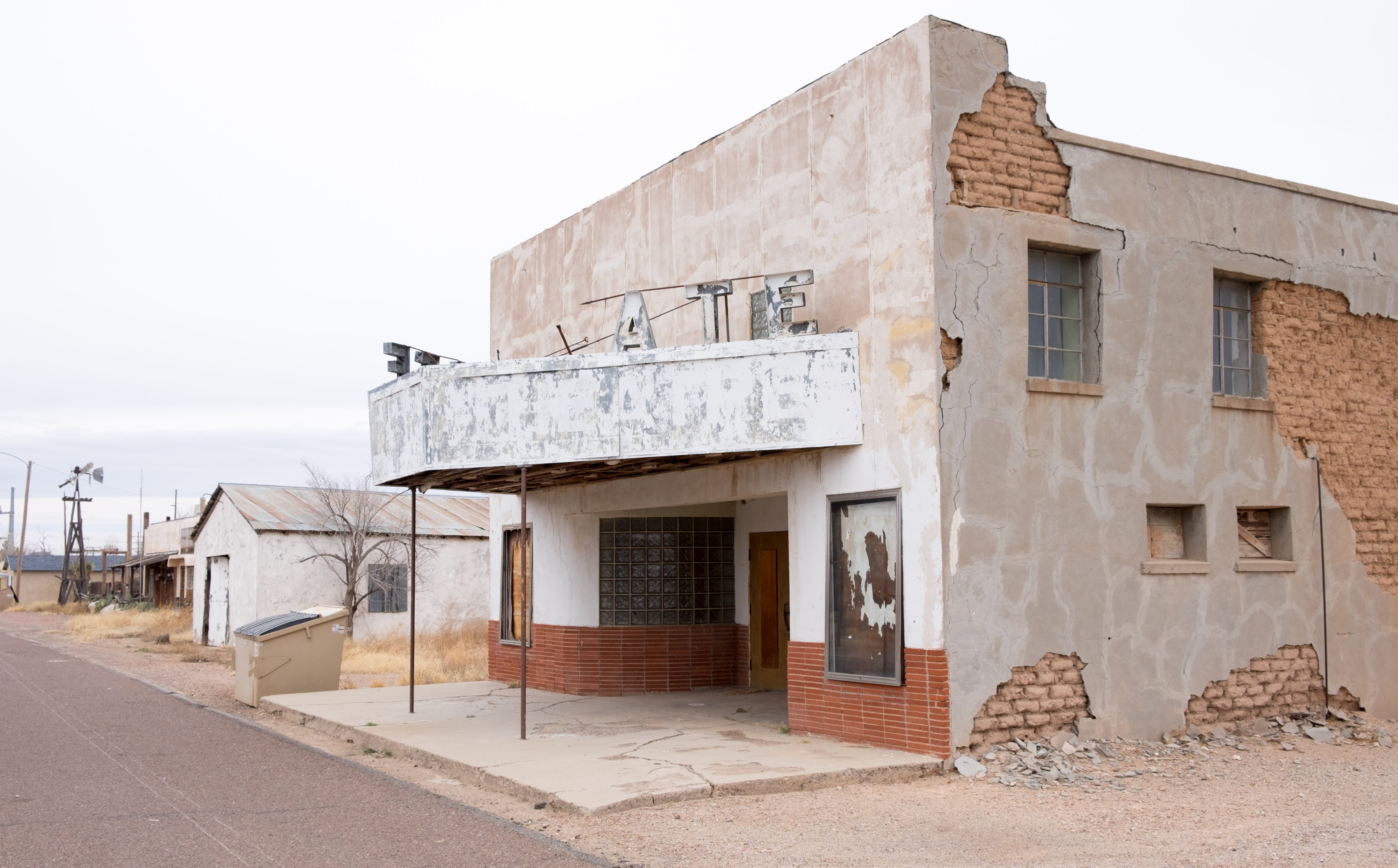
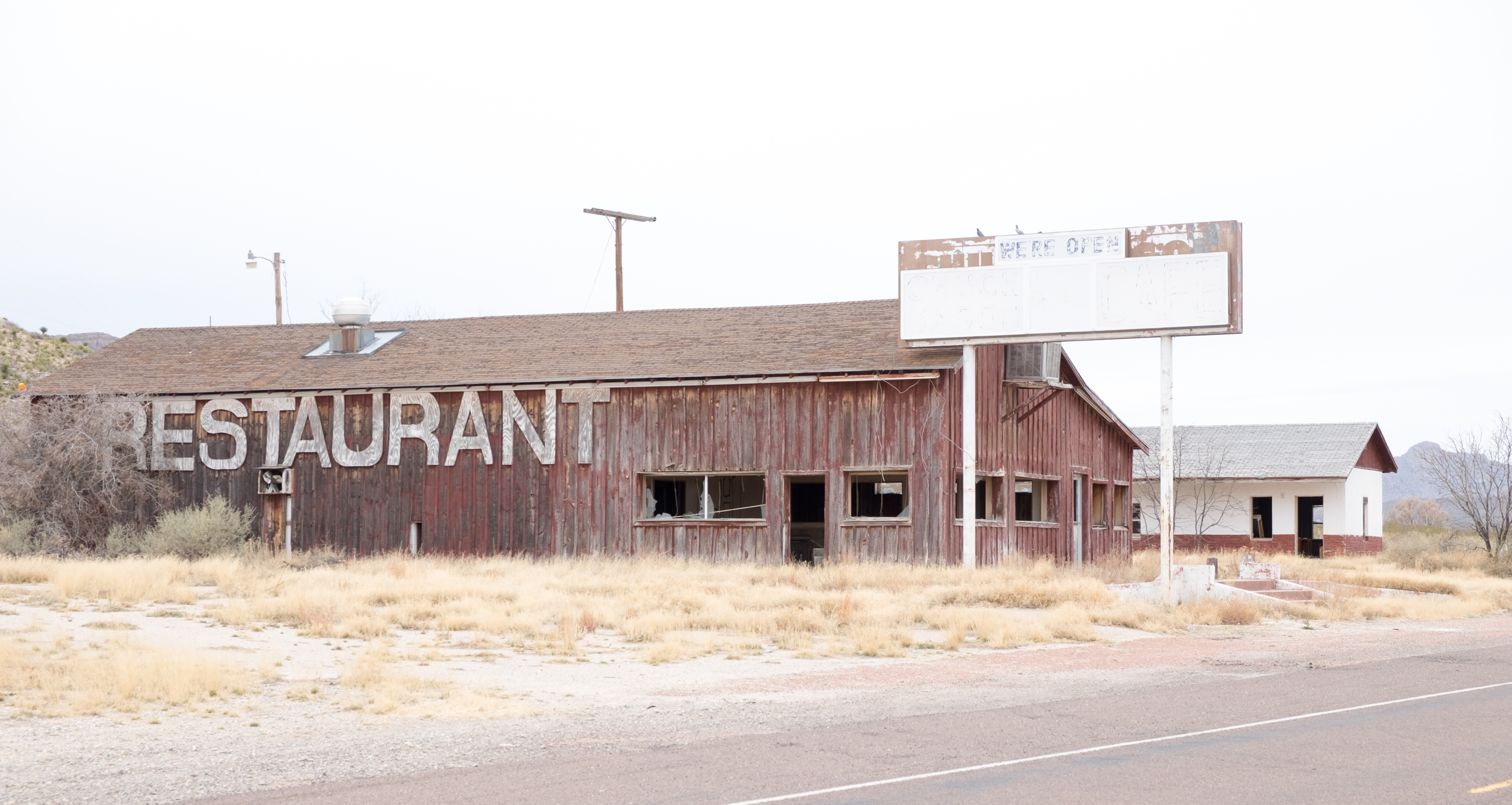
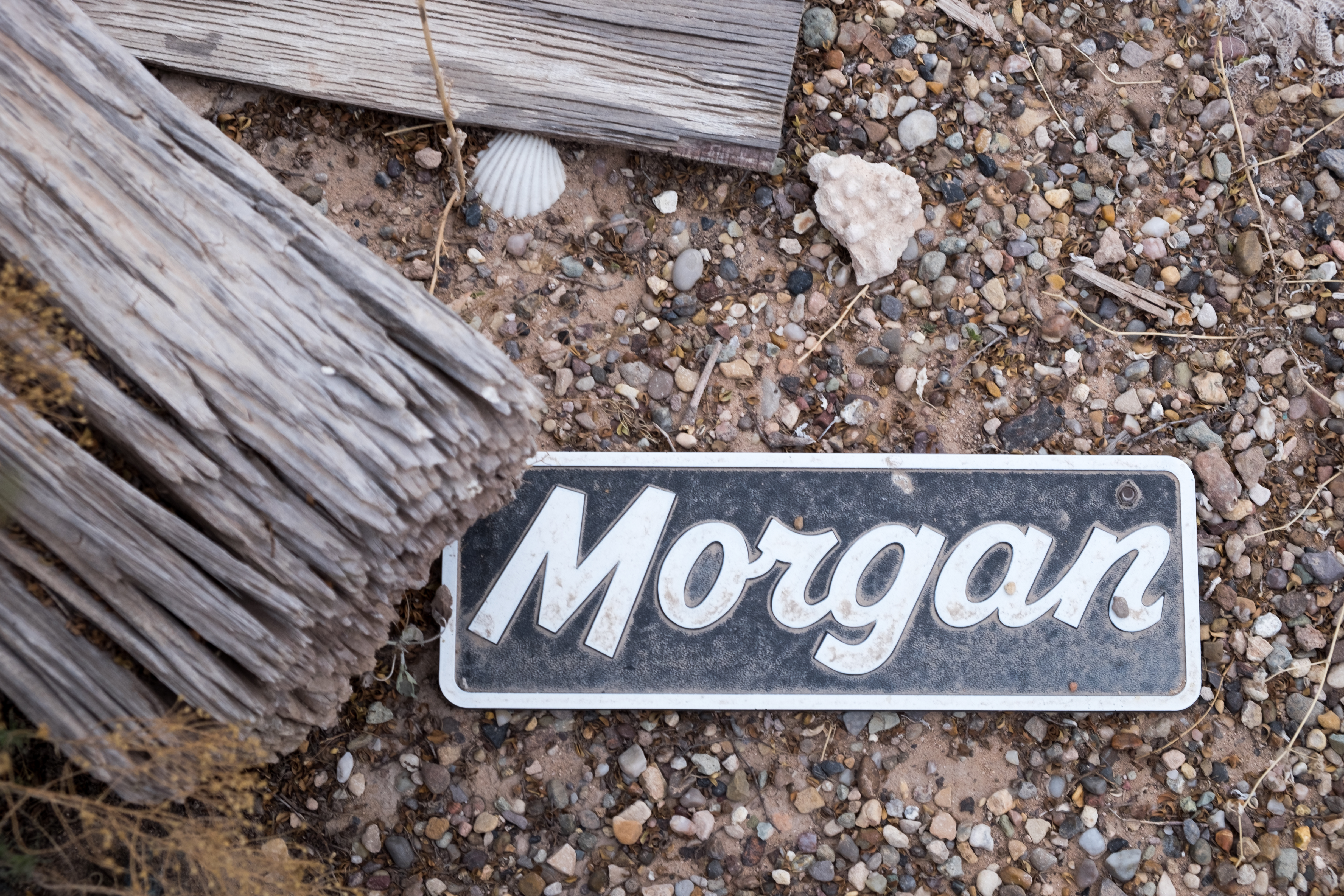
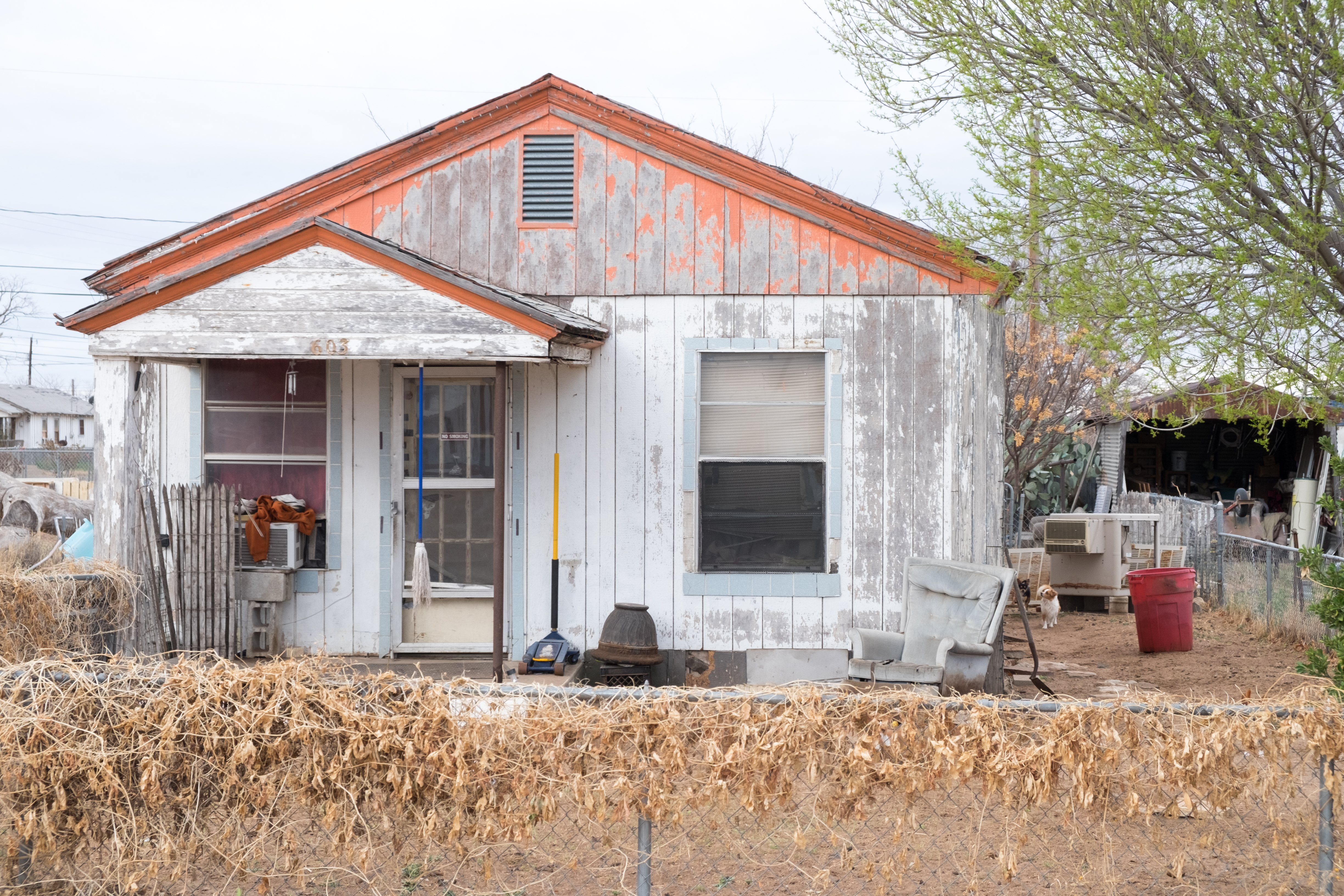
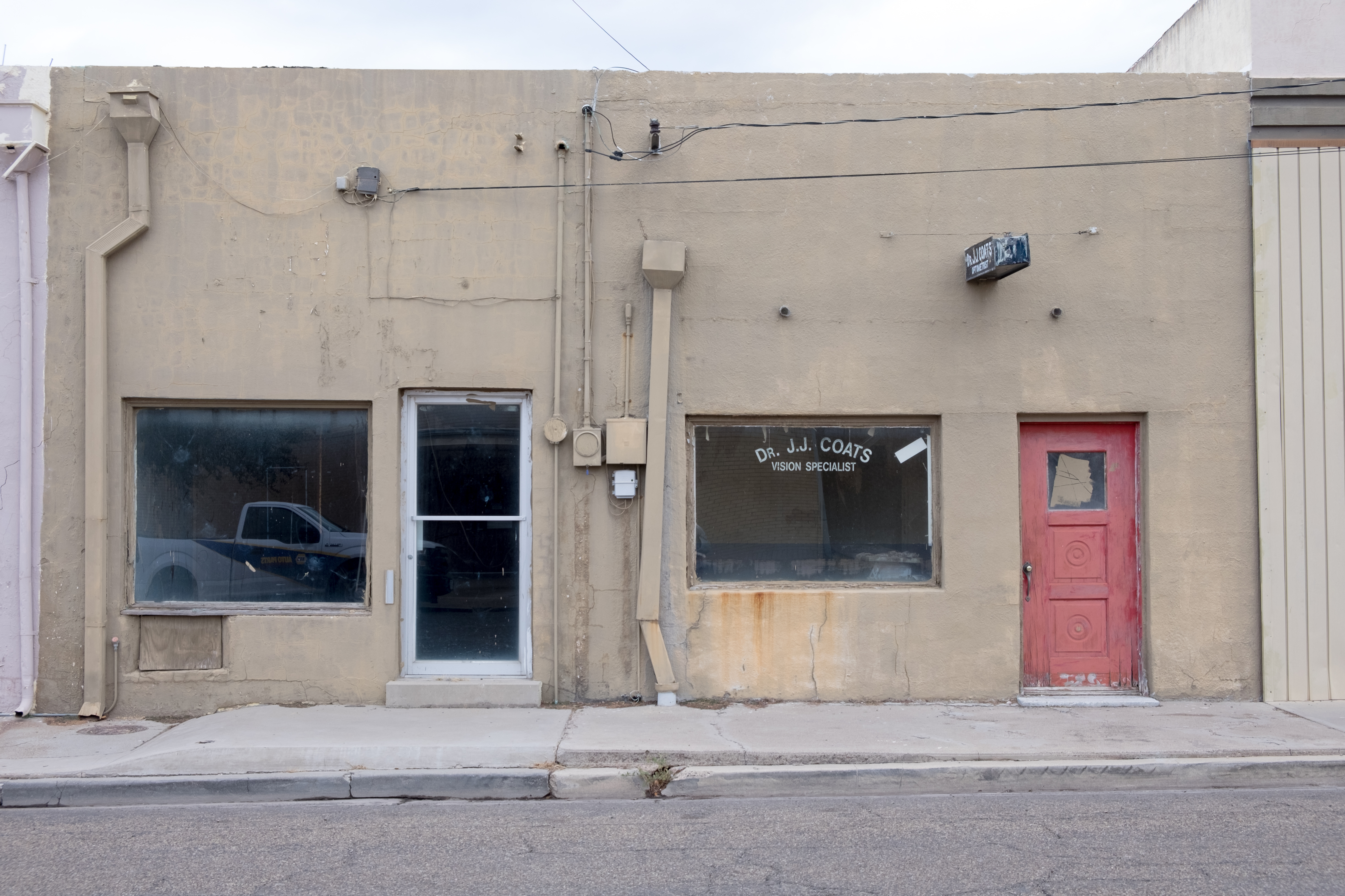
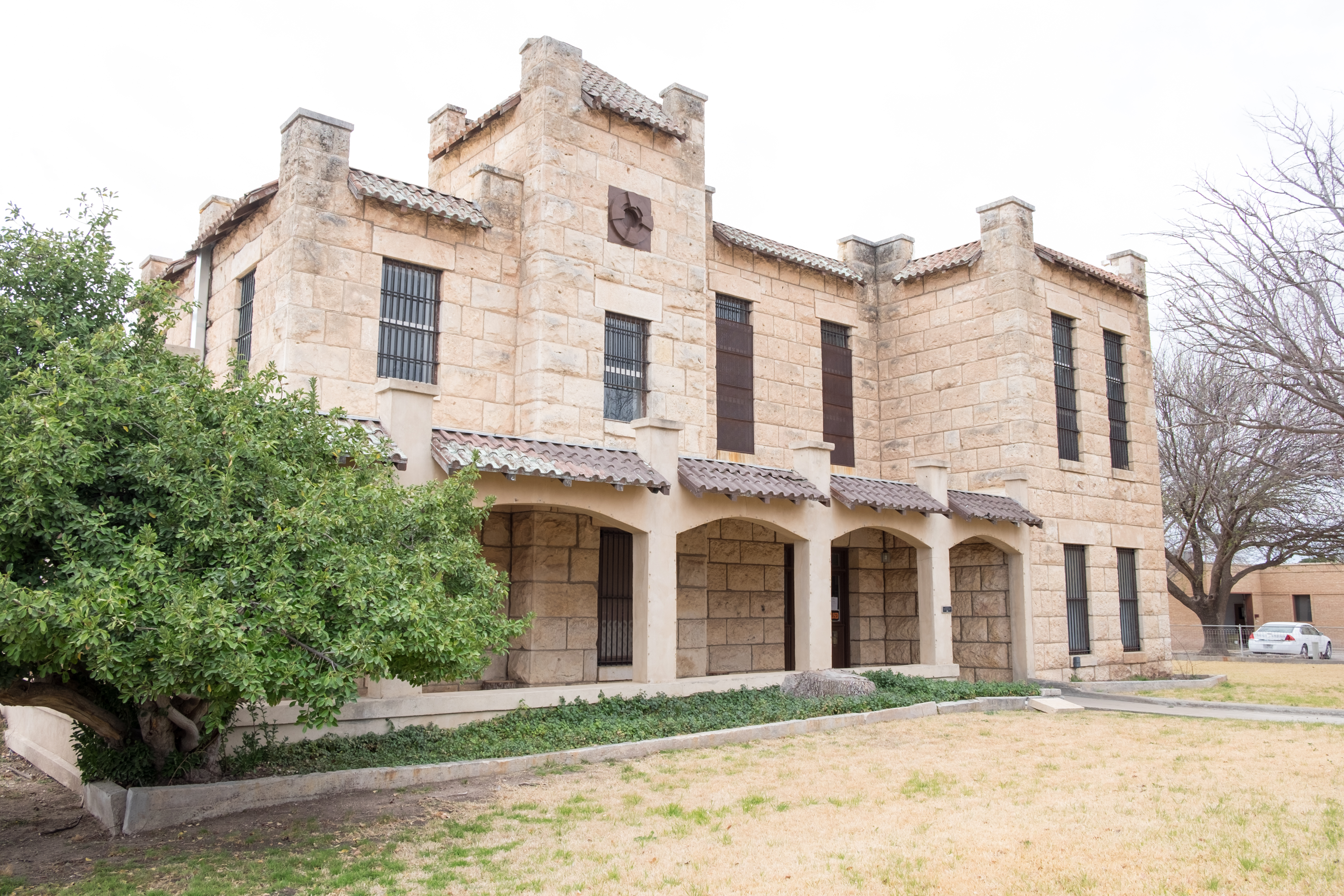
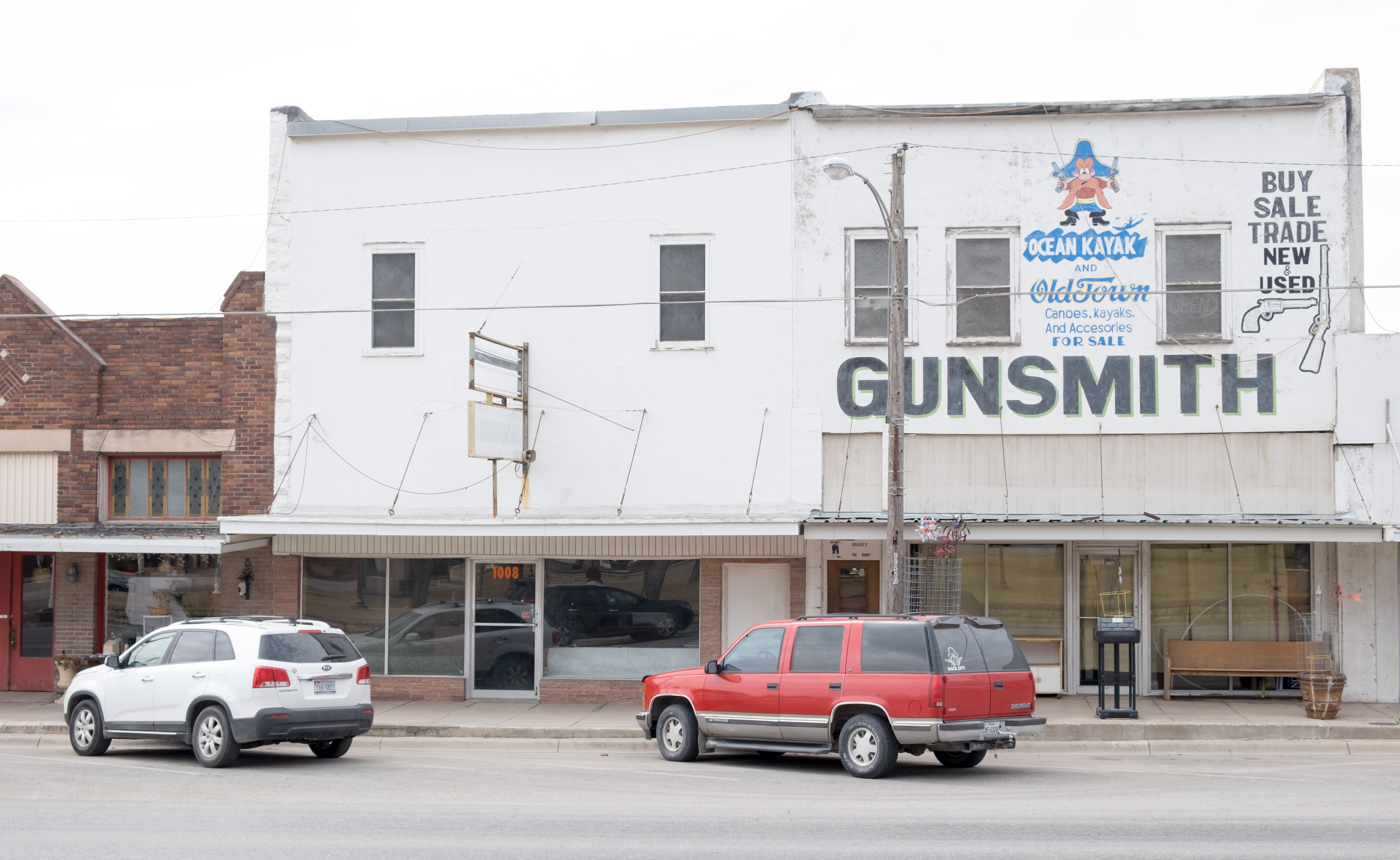
After about ten miles of breathing dirt and fighting cross-winds, I made it to…the end of the world: Mentone, seat of Loving County. My reference shows the total population of that county to be 82 (the COUNTY, not the town), but there were thousands of oil-field trucks growling through on their way to the next town, Kermit.
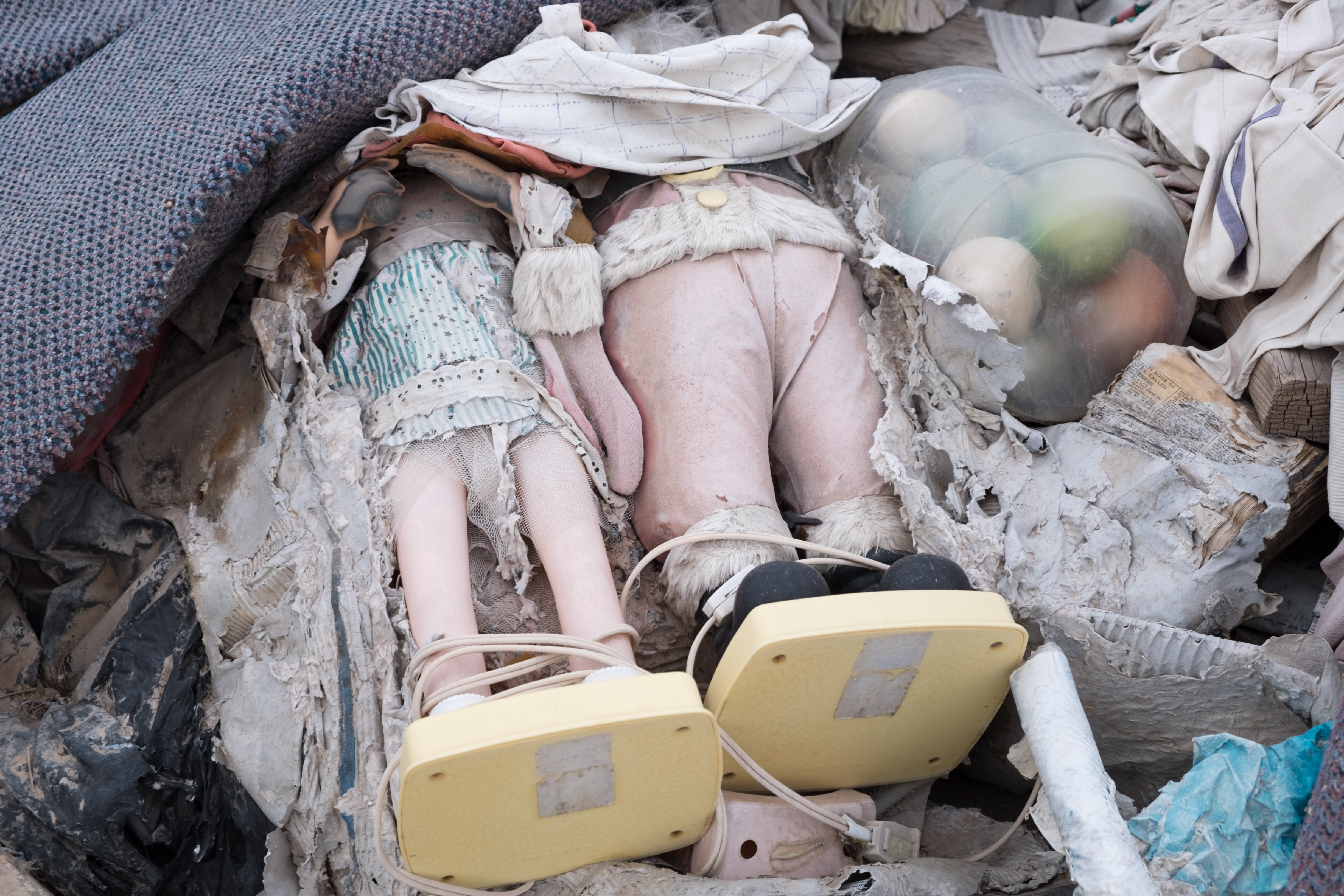
Mentone looked like a modern-day ghost town. [Postscript – It is.] There was a raggedly little convenience store at the crossroad, but otherwise it just looked like an abandoned town.
Here’s a link to a fascinating article on Loving County from Texas Monthly:
https://www.texasmonthly.com/politics/not-so-loving-county/
See for yourselves:
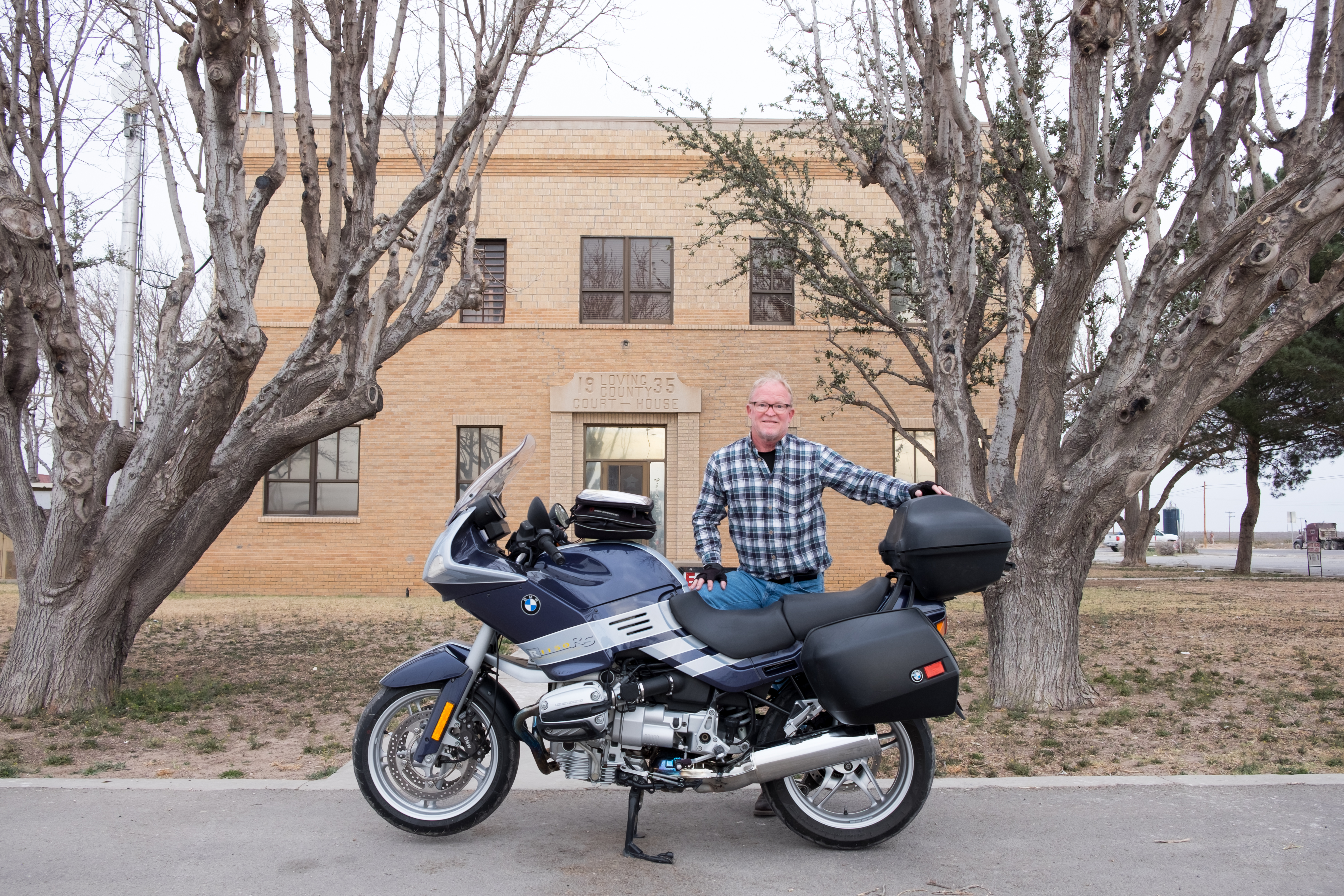
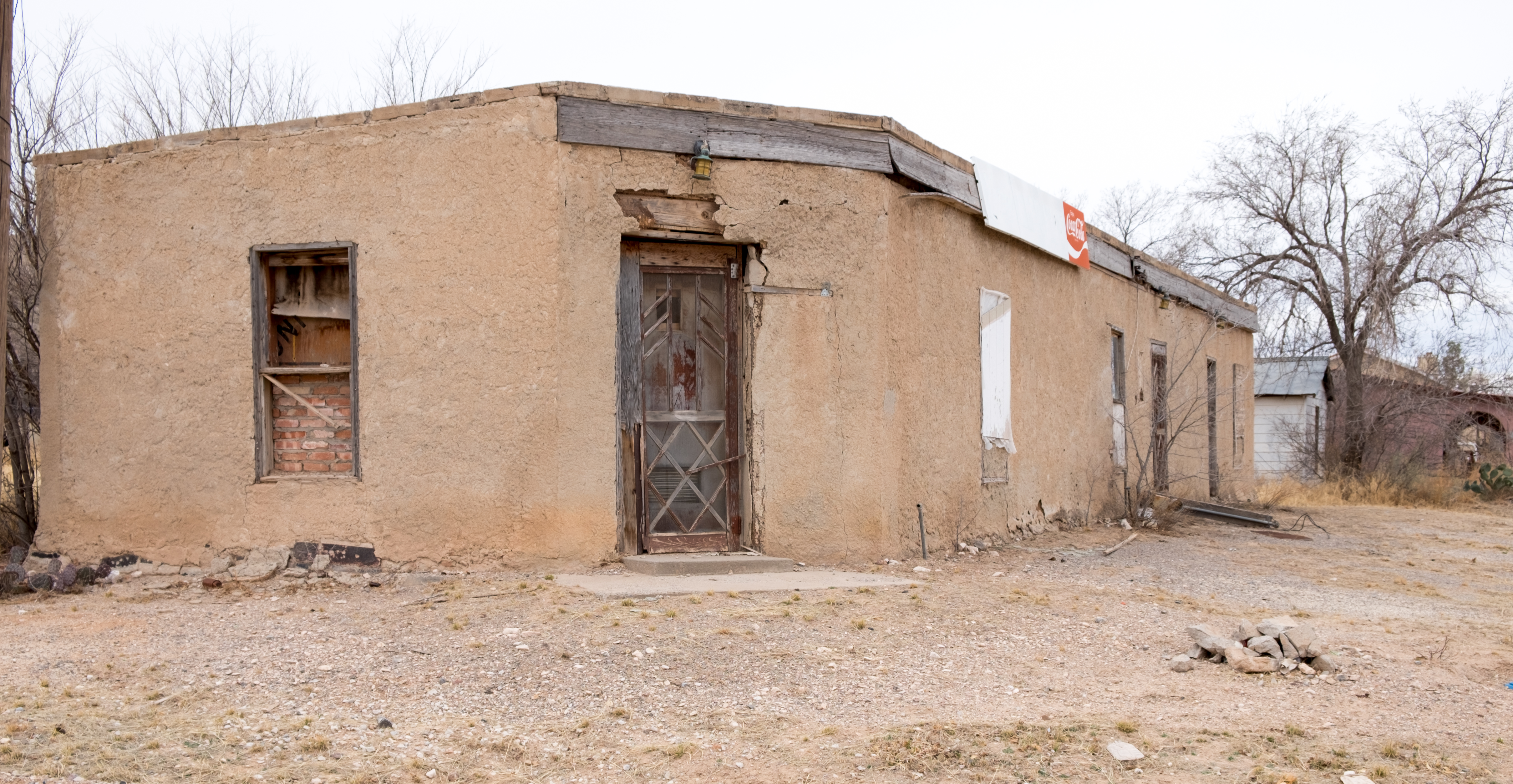
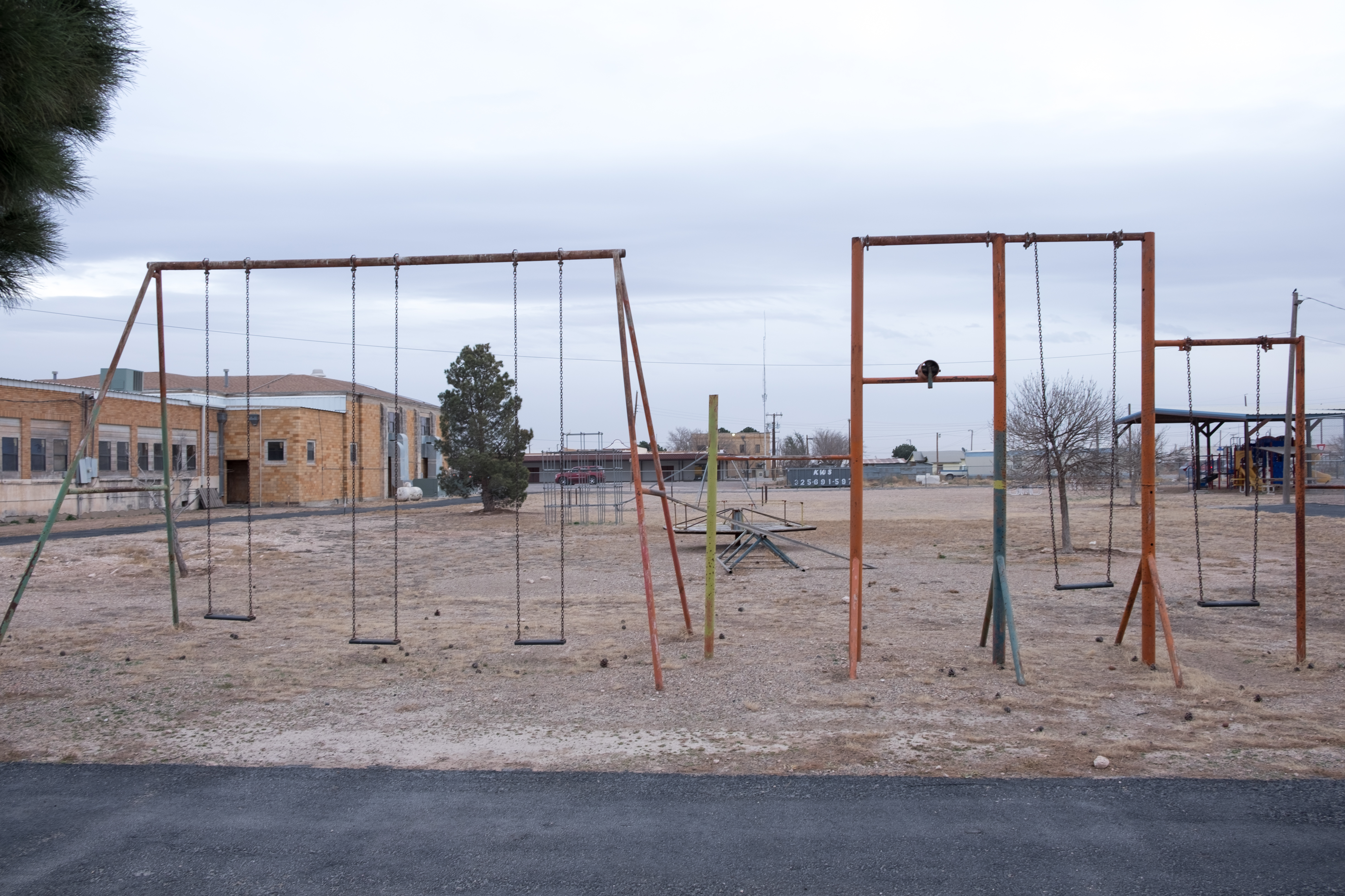
I am not sure if this courthouse is actually in use [it is not] – there was an annex off to the side, and through the windows it seemed like there was nothing but clutter. Here are more scenics of Mentone:
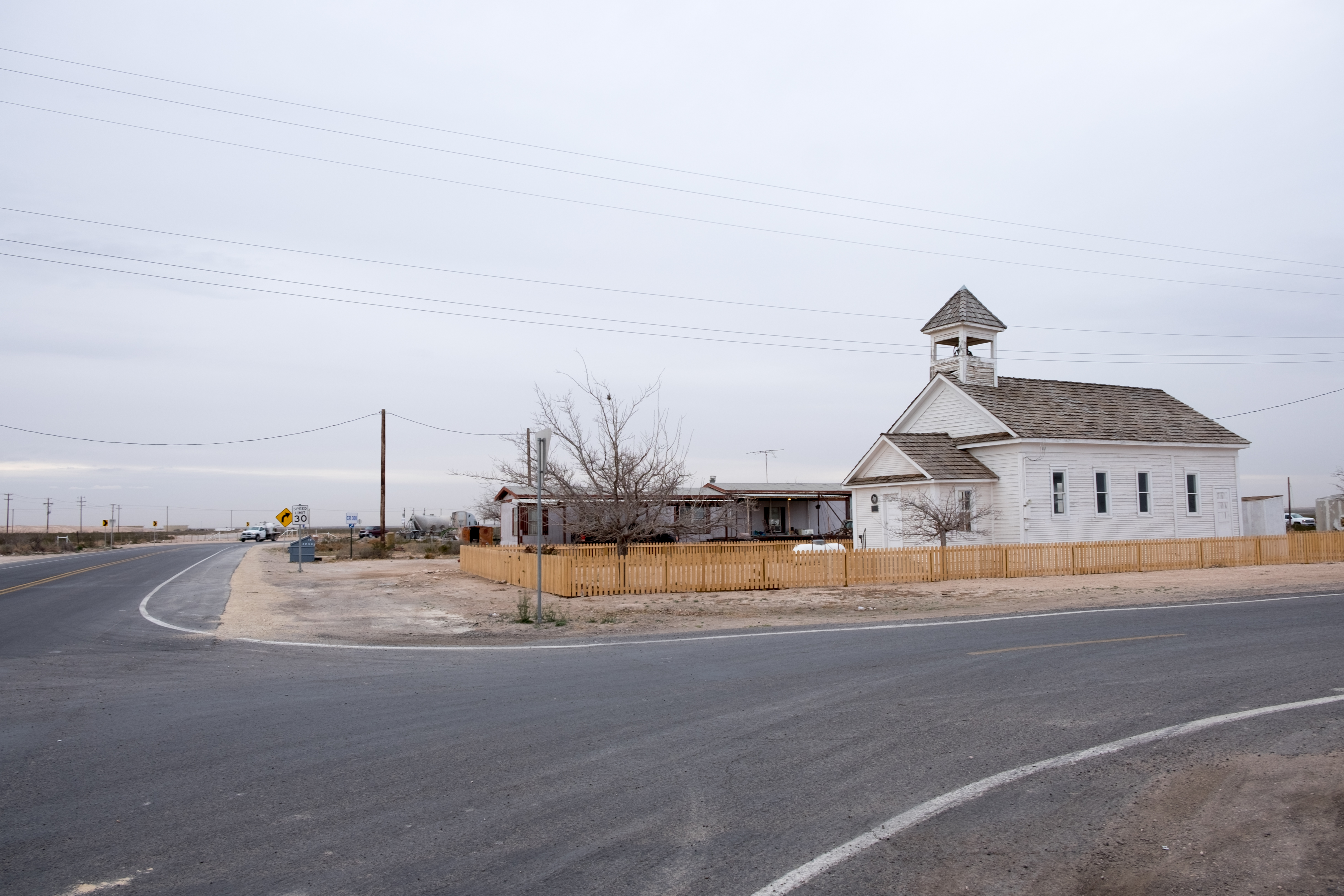
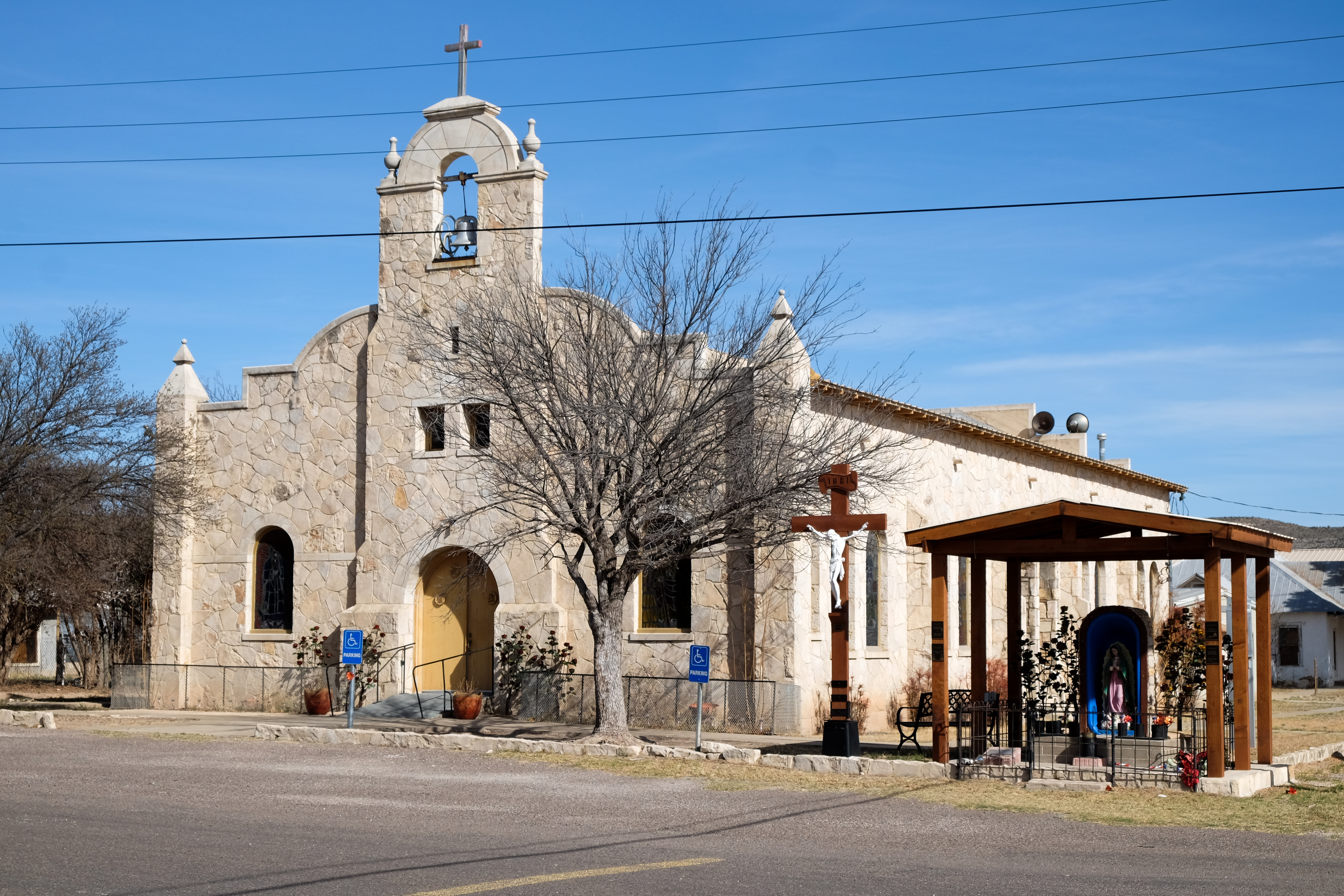
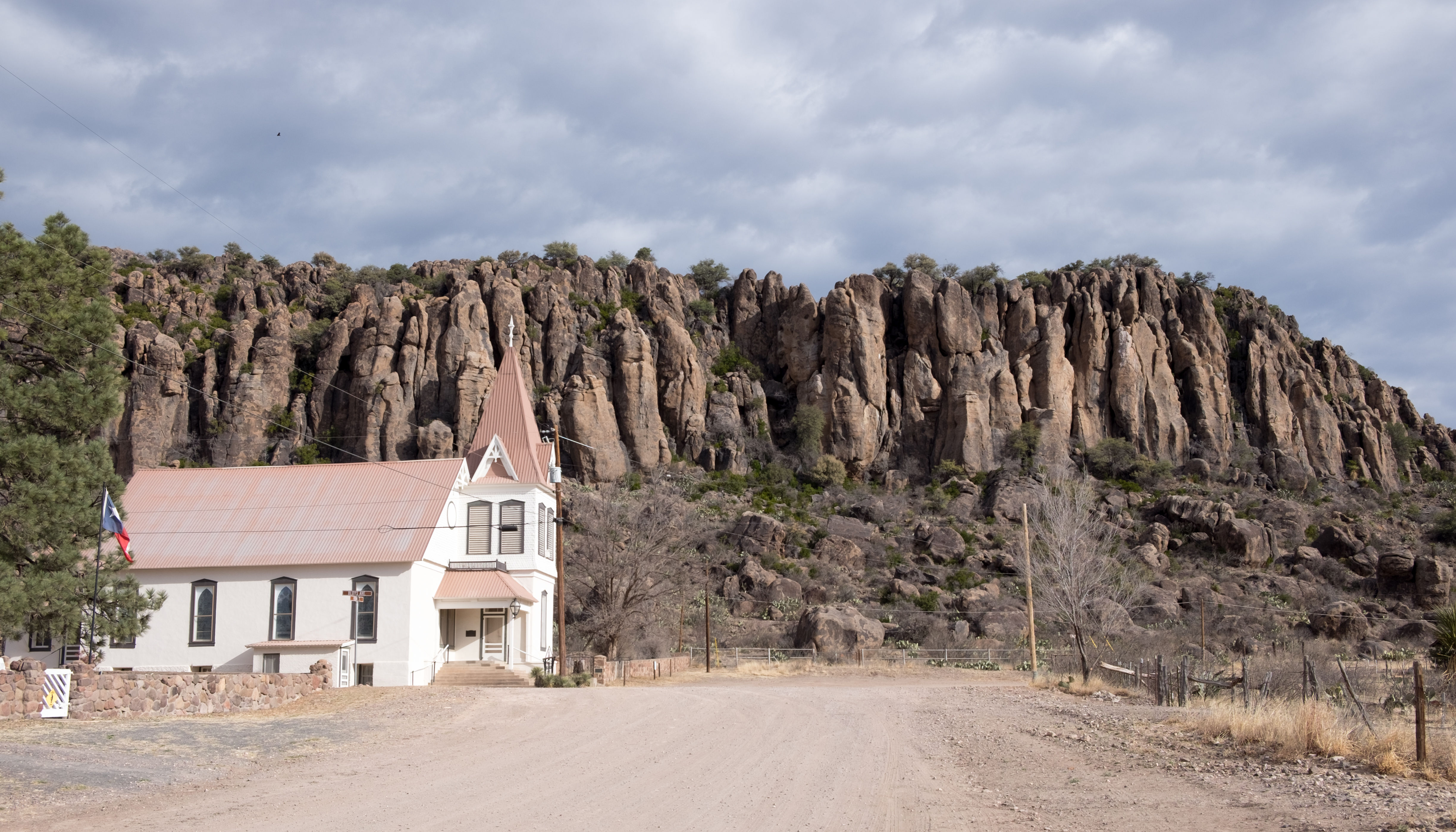
This little church is visited each Saturday for a non-denominational service. It is the oldest building in Loving County.
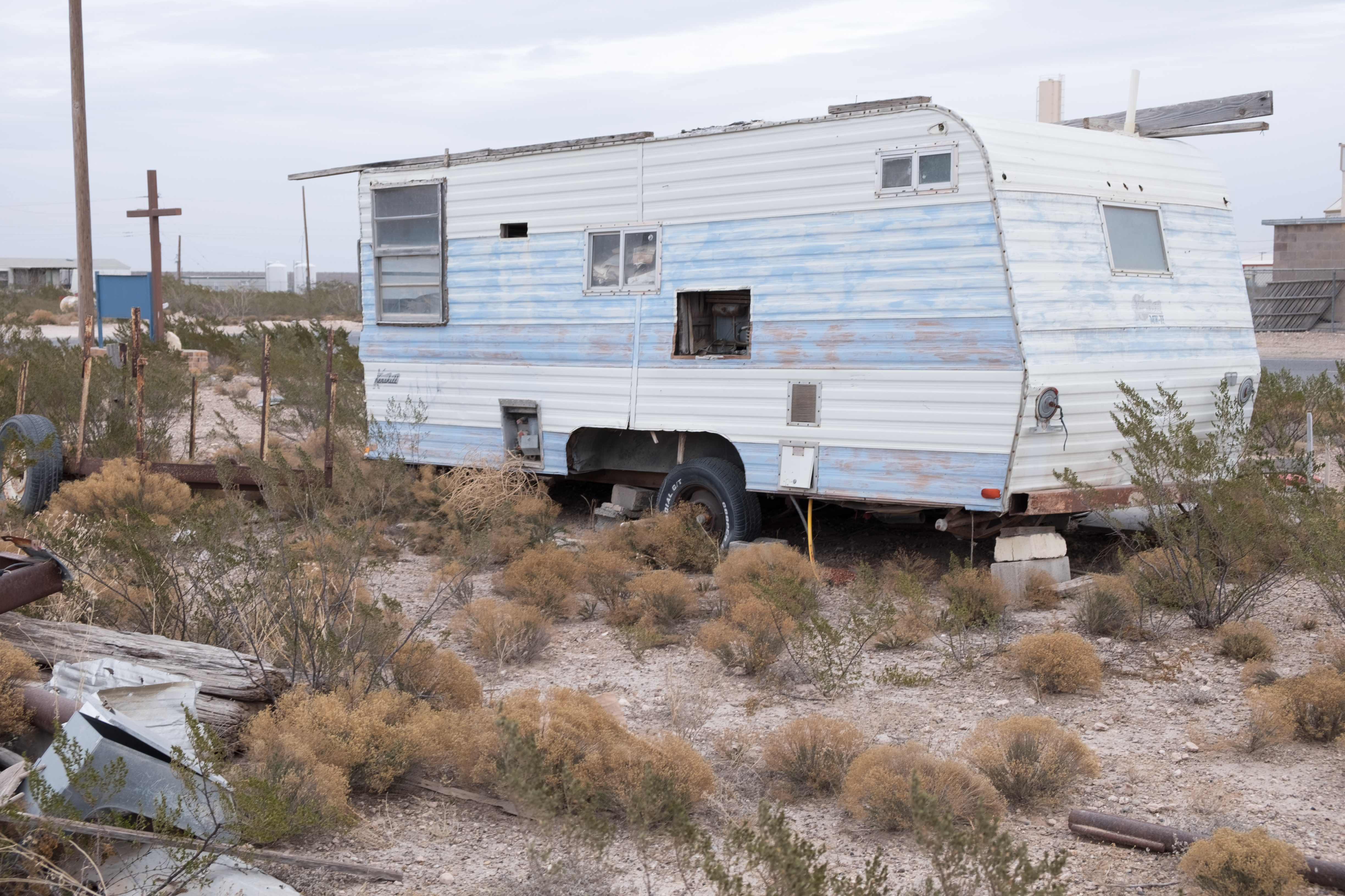
Well, there was no place to stay (maybe that blue and white trailer?) in Mentone, so even though it was getting dark I had to drive another 35 miles east in the gloam to get to Kermit (I did not see any frogs). Every one of the trucks and rigs I had passed between Orla and Mentone were now on the two-lane highway to Kermit. Wind still gusting, but now from behind me. It was a harrowing ride (no photos, sorry), but I did get safely to Kermit where I spent the second night out in the Kermit Inn, managed by a Gujarati woman with whom I spoke Hindi. She trotted out her daughter to see the amazing spectacle of a Hindi-speaking gora log (white guy).
Over a (very good) Mexican dinner with two young oil-field workers living a grueling but (to them) lucrative life, I was telling the story about the encounter with the Highway Patrol earlier that day in Van Horn, when I was stopped doing 92 in a 70 zone. The younger of the two guys, all of 21, told me his story of getting caught doing 147mph in a 70mph zone. He went to jail and it ultimately cost him $6,000 to put the episode behind him. In the Trip One story I flippantly said that if the police had caught me going as fast as I had been (close to, but not quite the young man’s speed), I’d have had to sell the bike to cover it. In fact, selling the bike would NOT have been sufficient to cover it. So I’m thinking it’s time to dial things down to 10-15mph over the speed limit. That will be easy in future adventures, as the wide open spaces segments are largely behind me now. [Postscript – not by long shot – I had no idea what was in store for me in the Panhandle…that story is told in Trip 3]
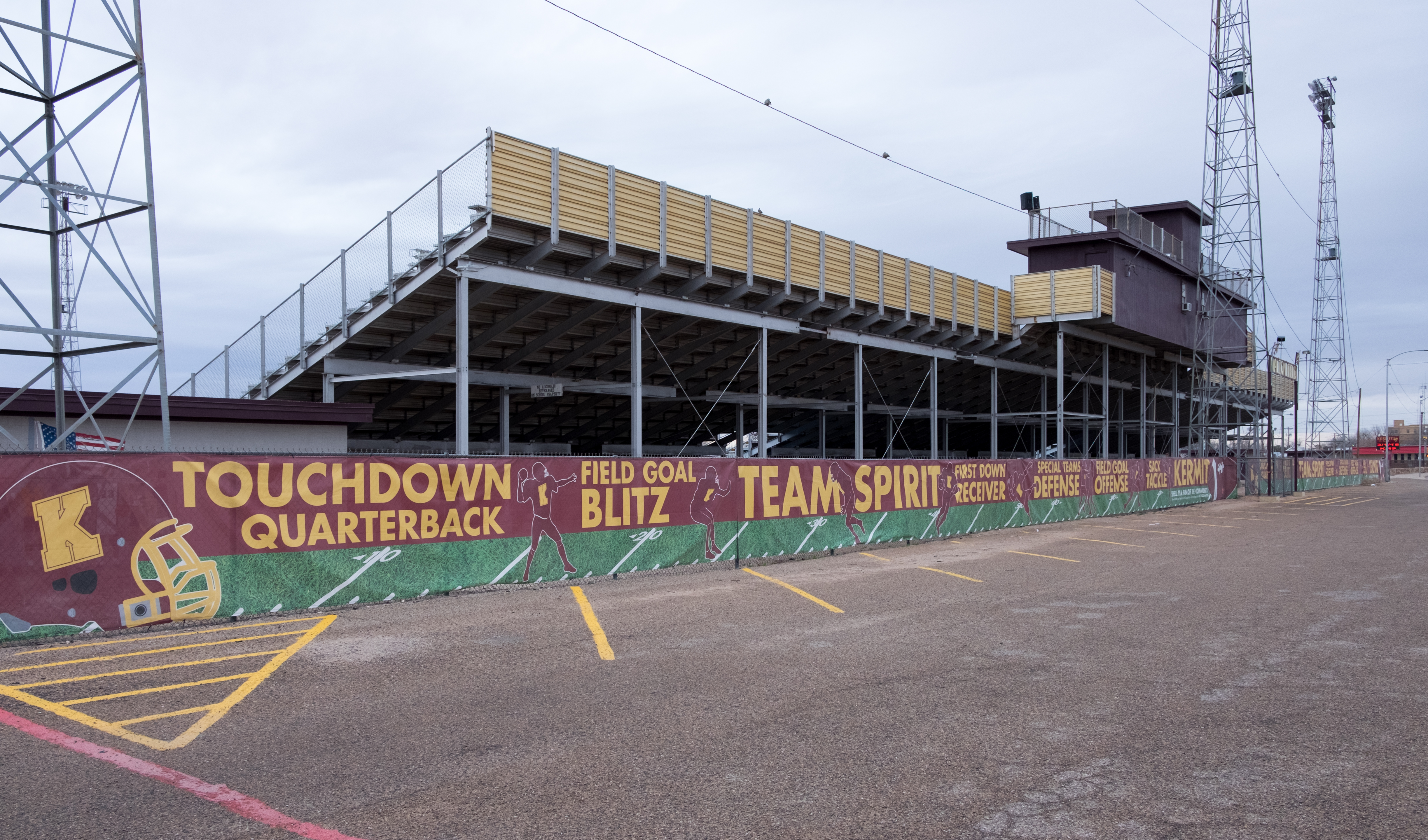
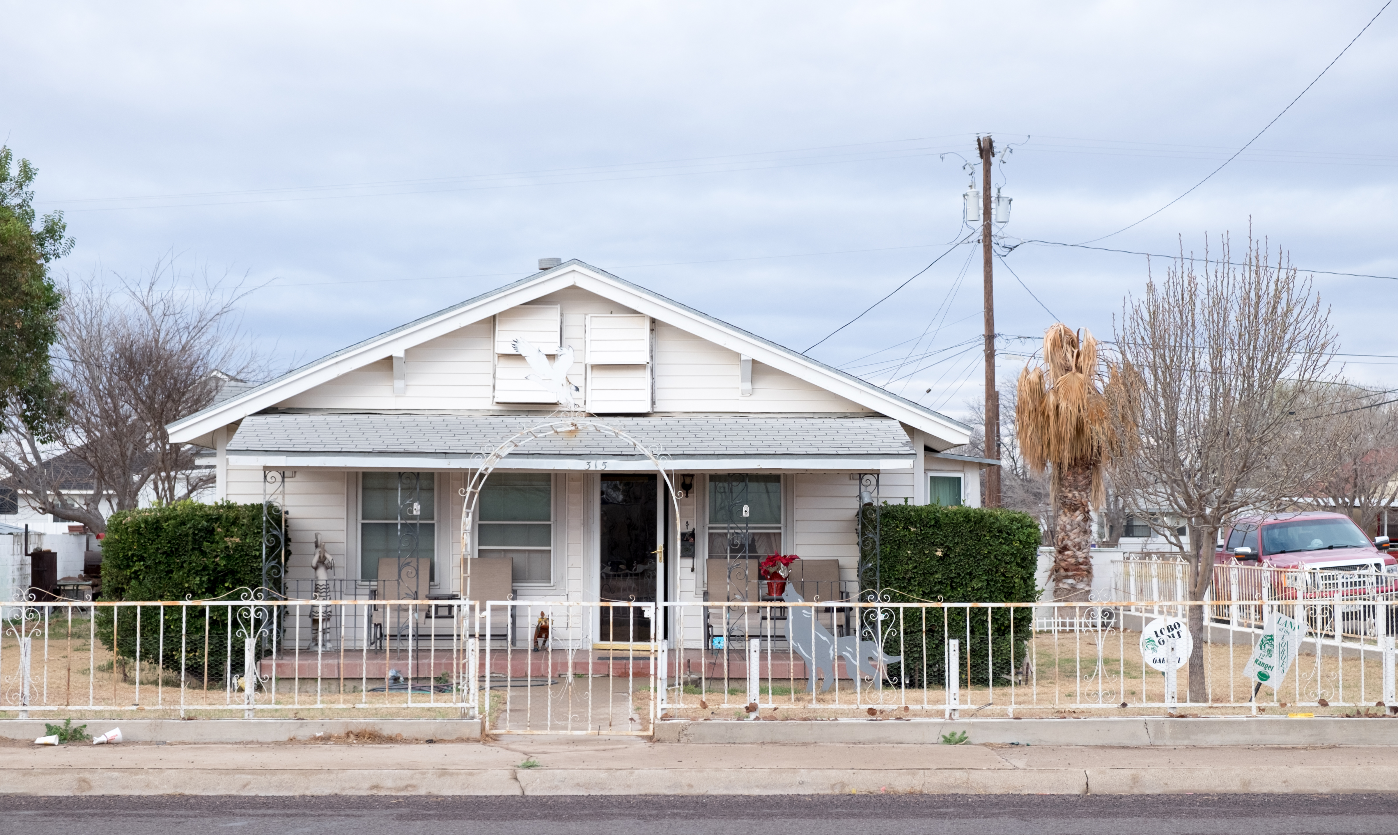
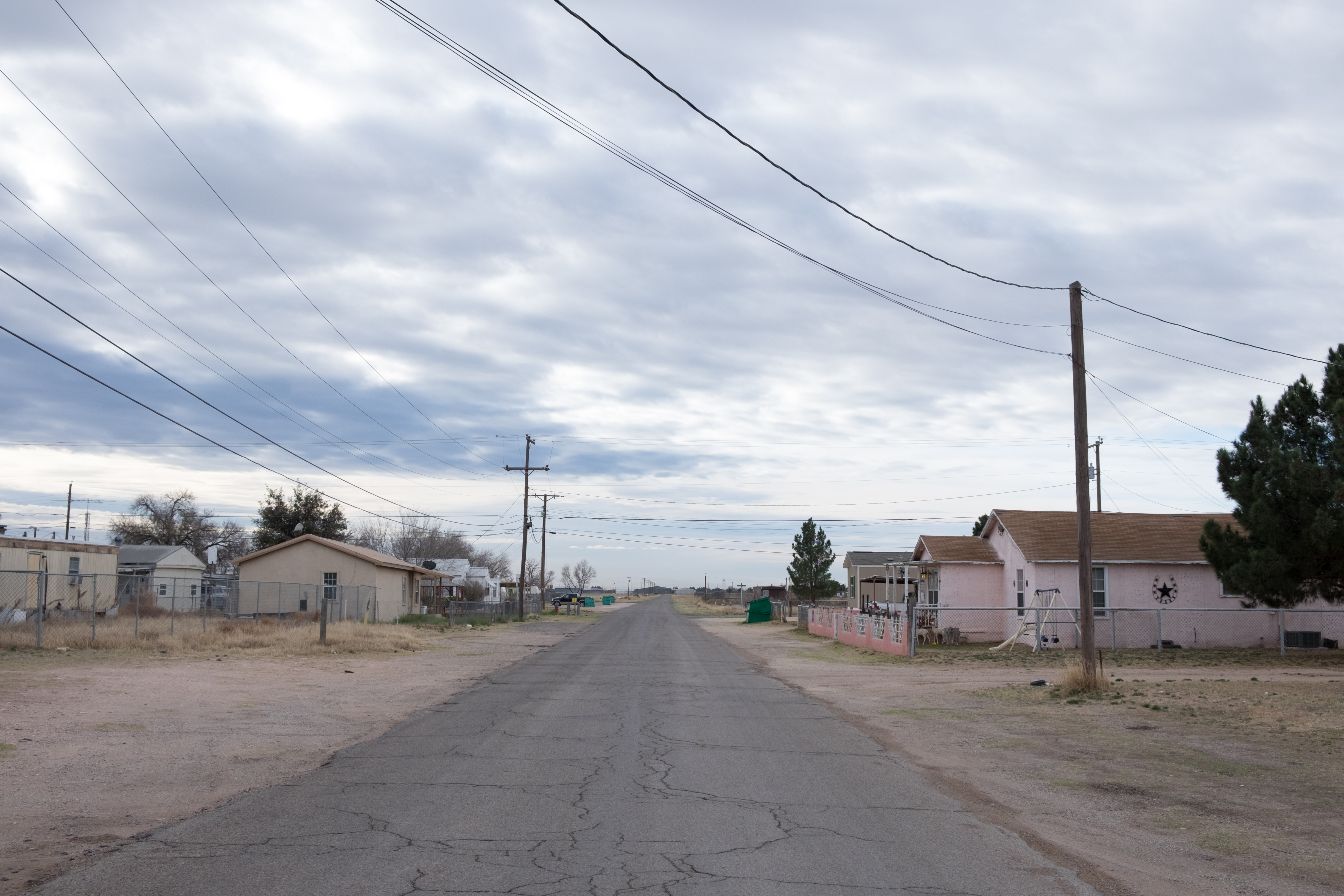
Kermit was not as desolate as Mentone, and it had a fine high school football stadium (a necessity in this part of Texas), but it had some weary little homes, too…
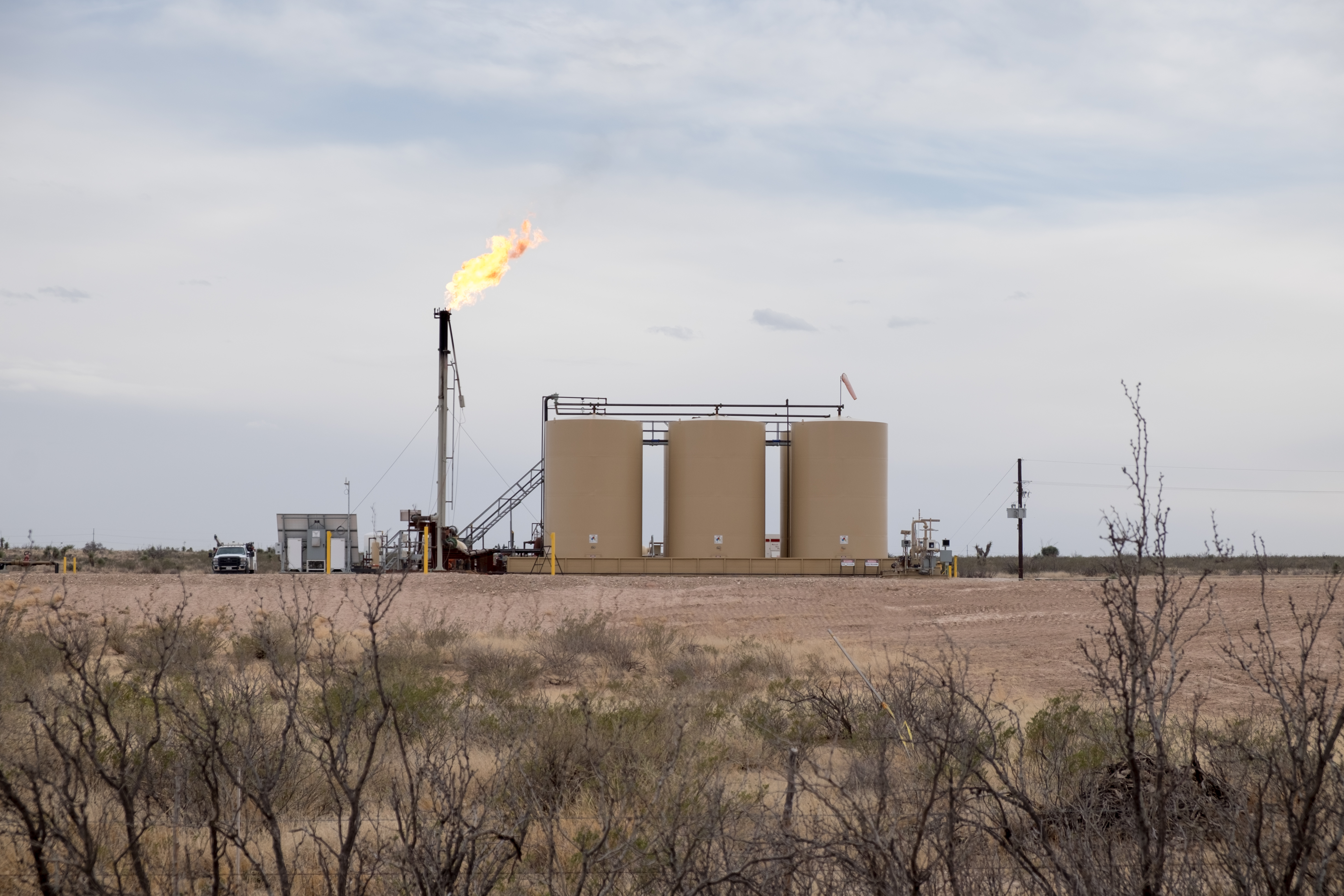
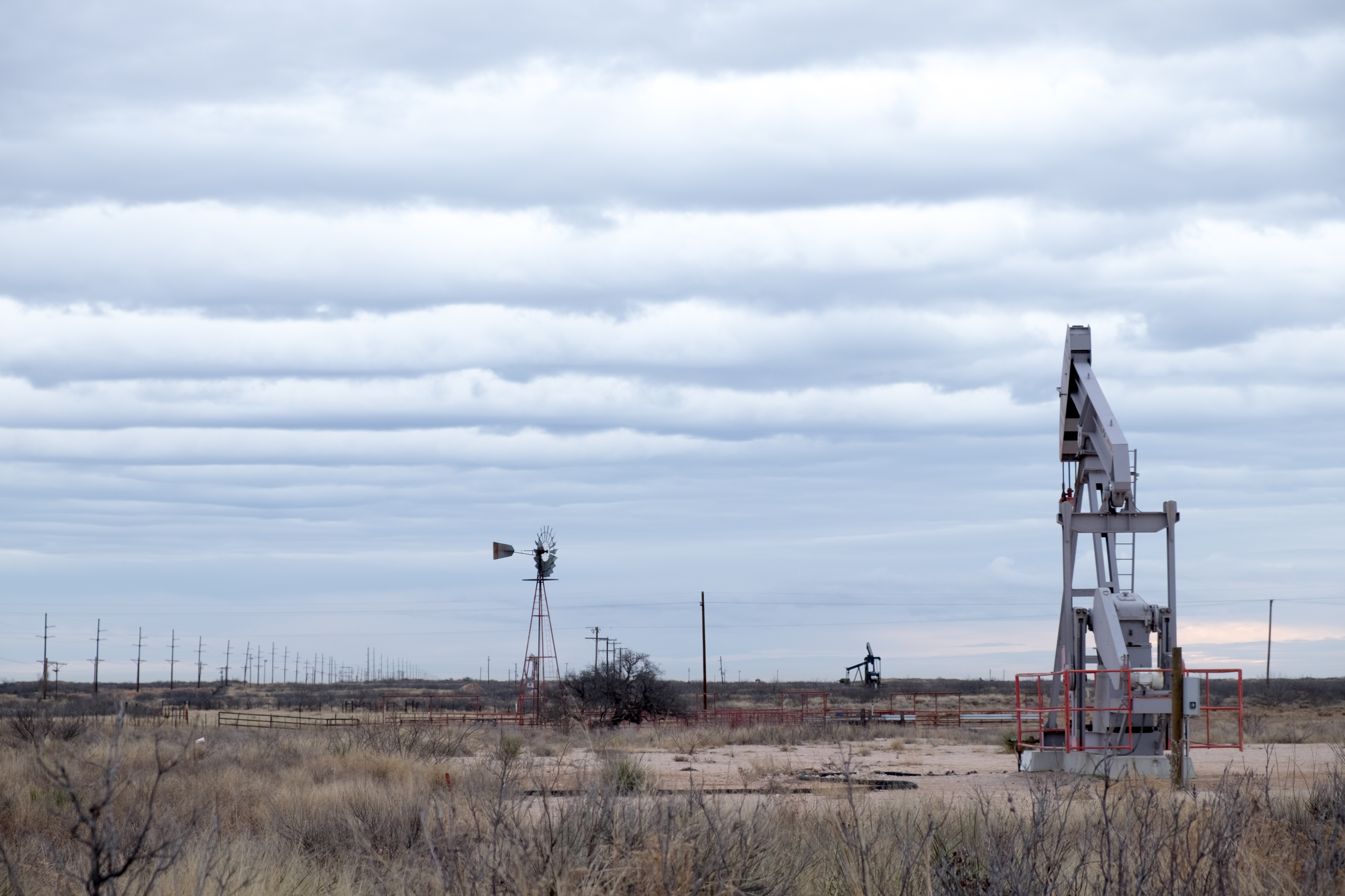
It had, amazingly, rained during the night in Kermit, and as I headed due south to Monahans, seat of Ward County and oil-drilling hub, the rains still threatened and in a happy circumstance I got the following photo, maybe my favorite of the trip, showing everything you need to know about this part of Texas – power lines trailing off into the distance, oil pumping rig, windmill, and menacing gray clouds rolling in. Only thing missing is the wind…
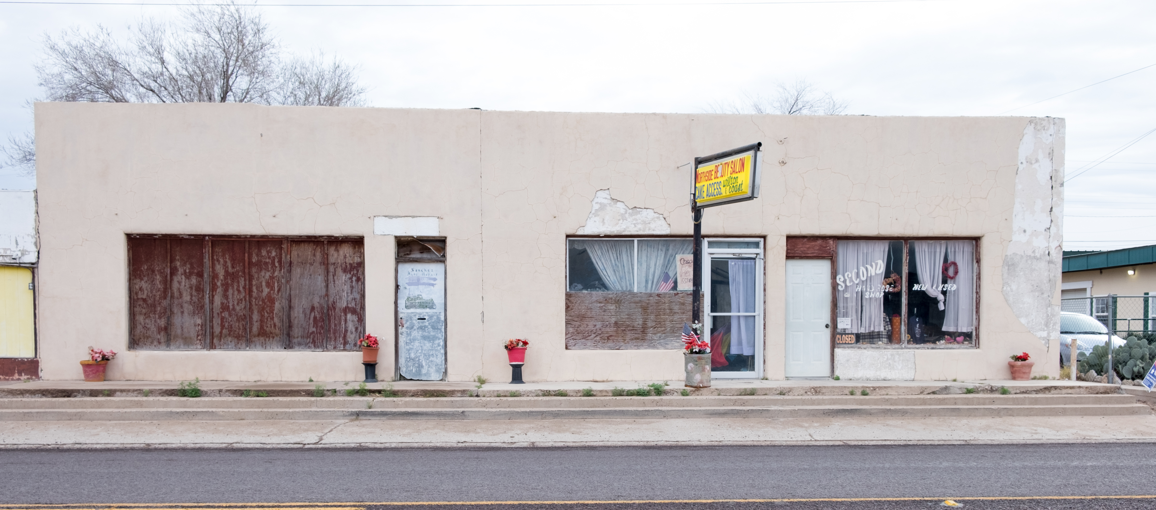
Monahans was a very curious little town, kind of bustling but also apocalyptic…
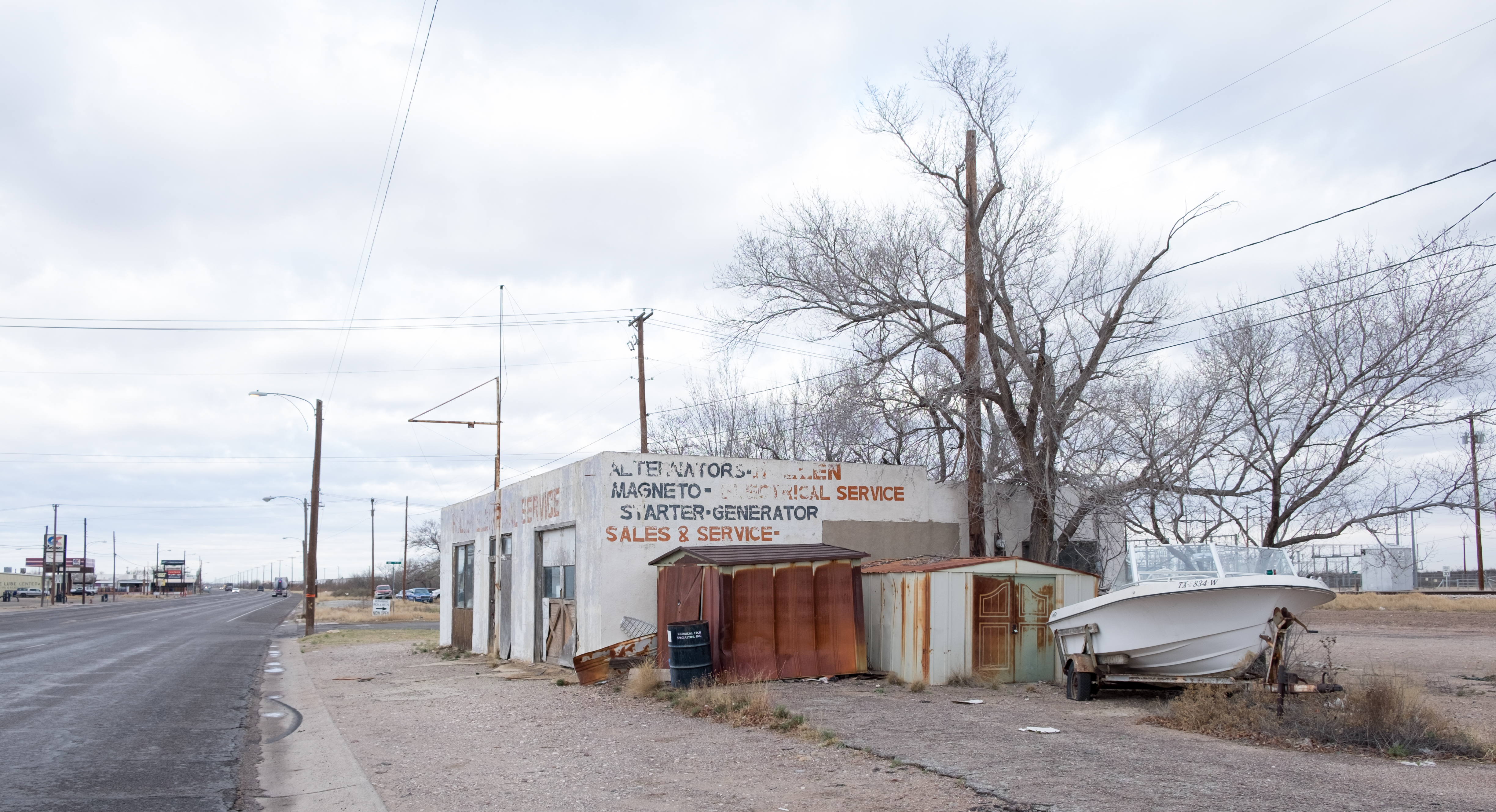
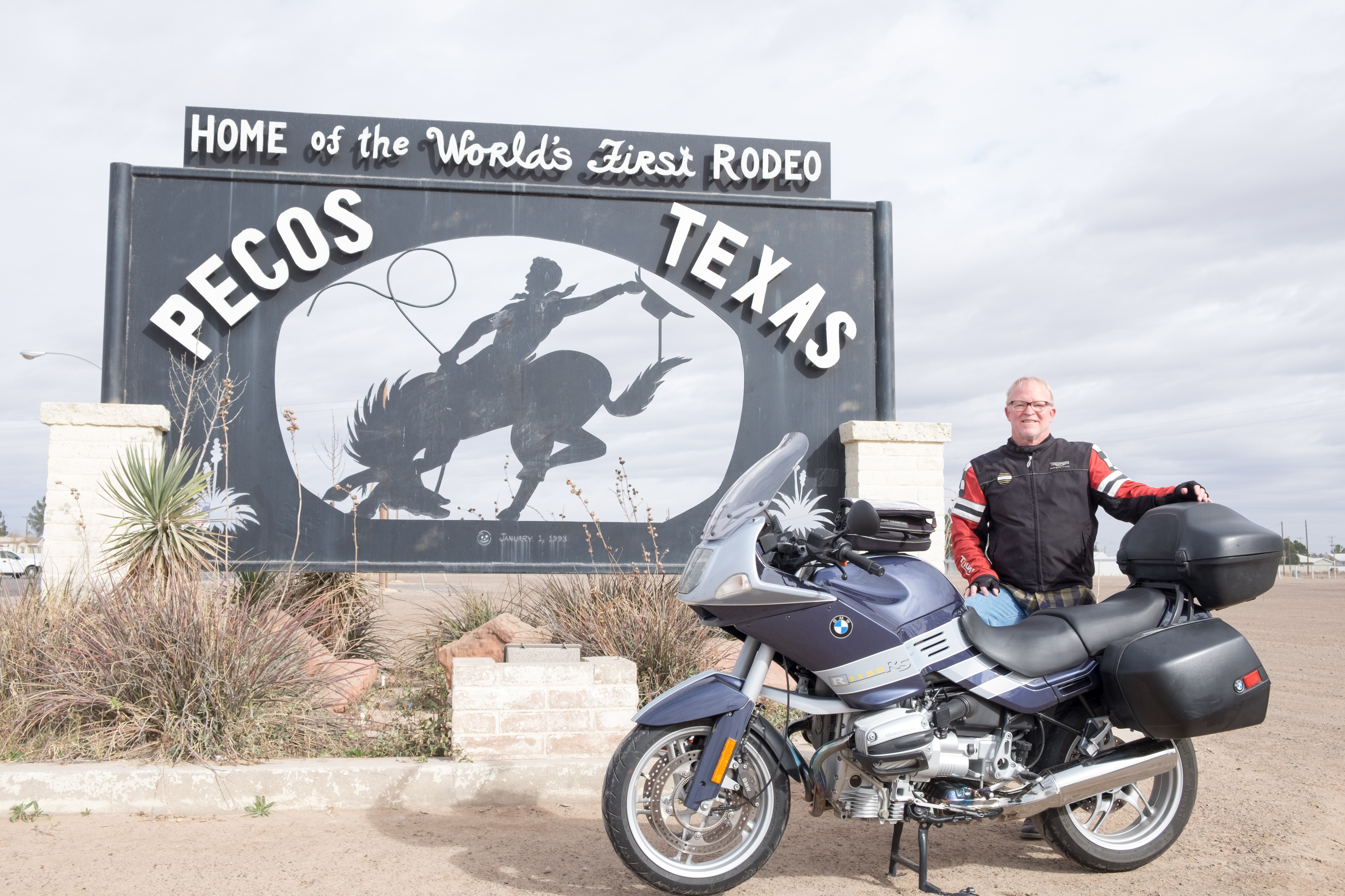
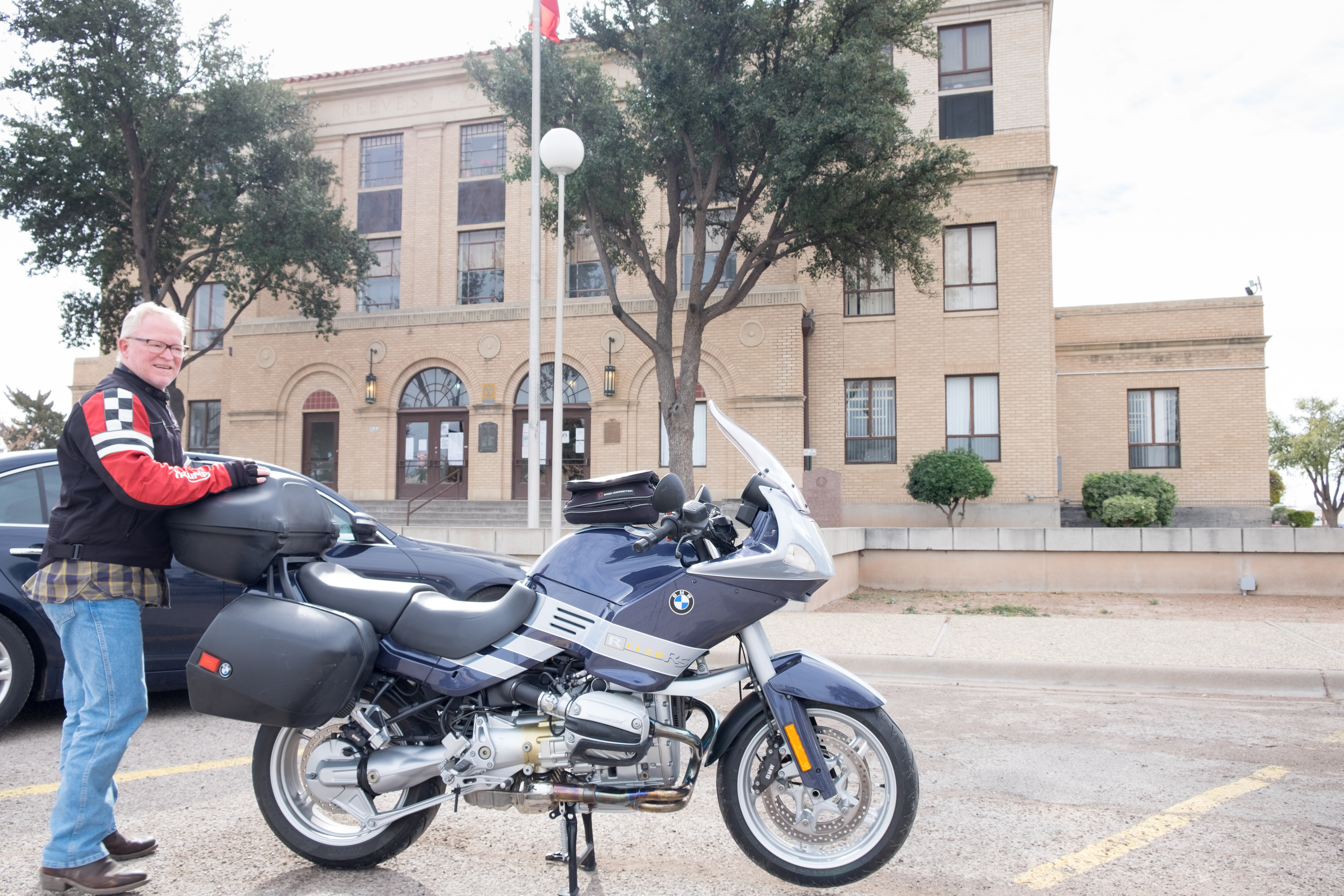
Speaking of dreams – much of the scenery throughout this part of Texas is a haunting reminder of so many dreams that turned to dust. But on to Pecos, seat of Reeves County.
Pecos is famous for its cantaloupes, which are among the sweetest on earth – available from numerous roadside stalls in season. It is also now the site of the largest private prison in the world. I guess when the oil runs out, there’ll still be employment here.
The glorious Balmorhea natural spring-fed swimming pool is in Reeves County, about an hour away from Pecos.
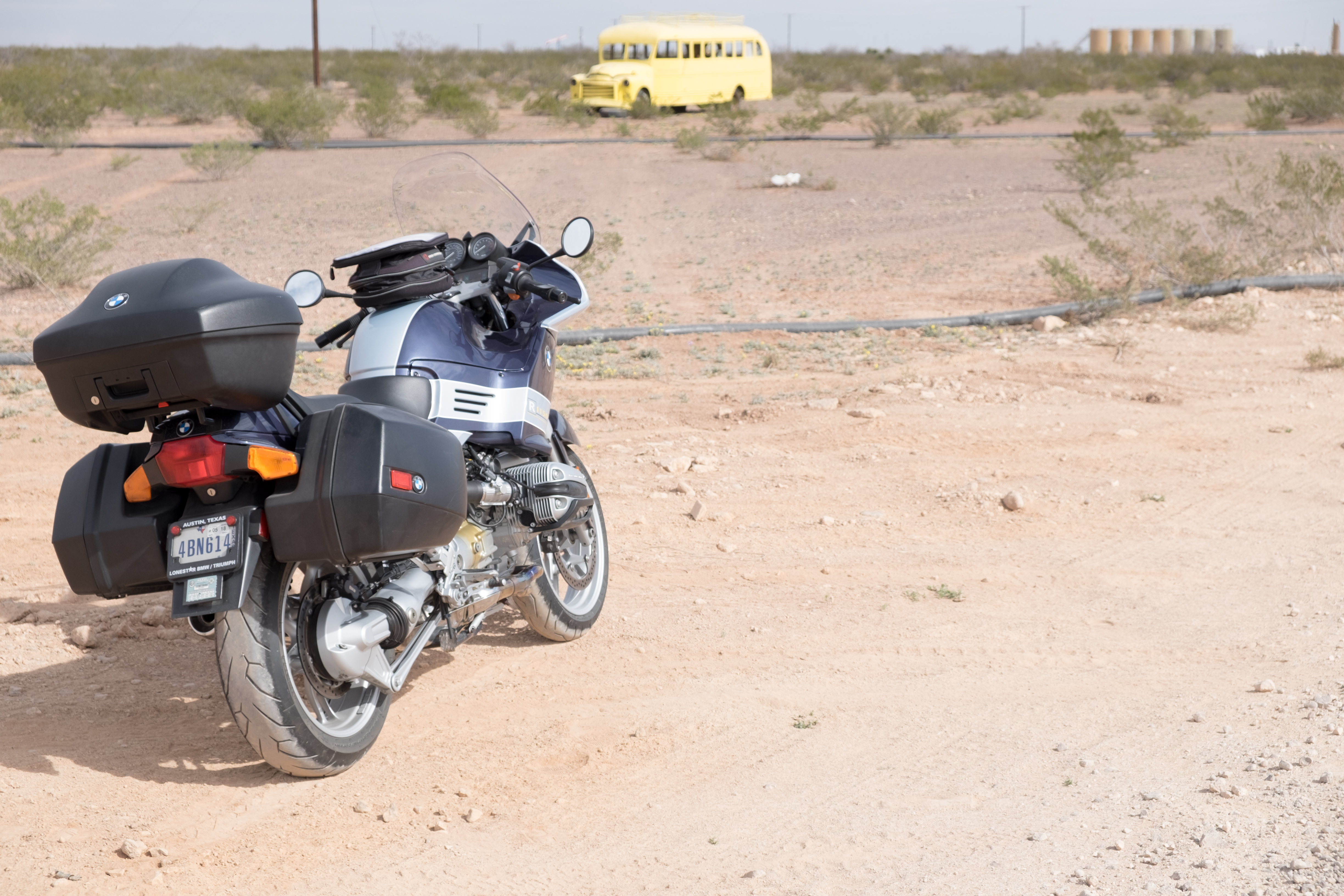
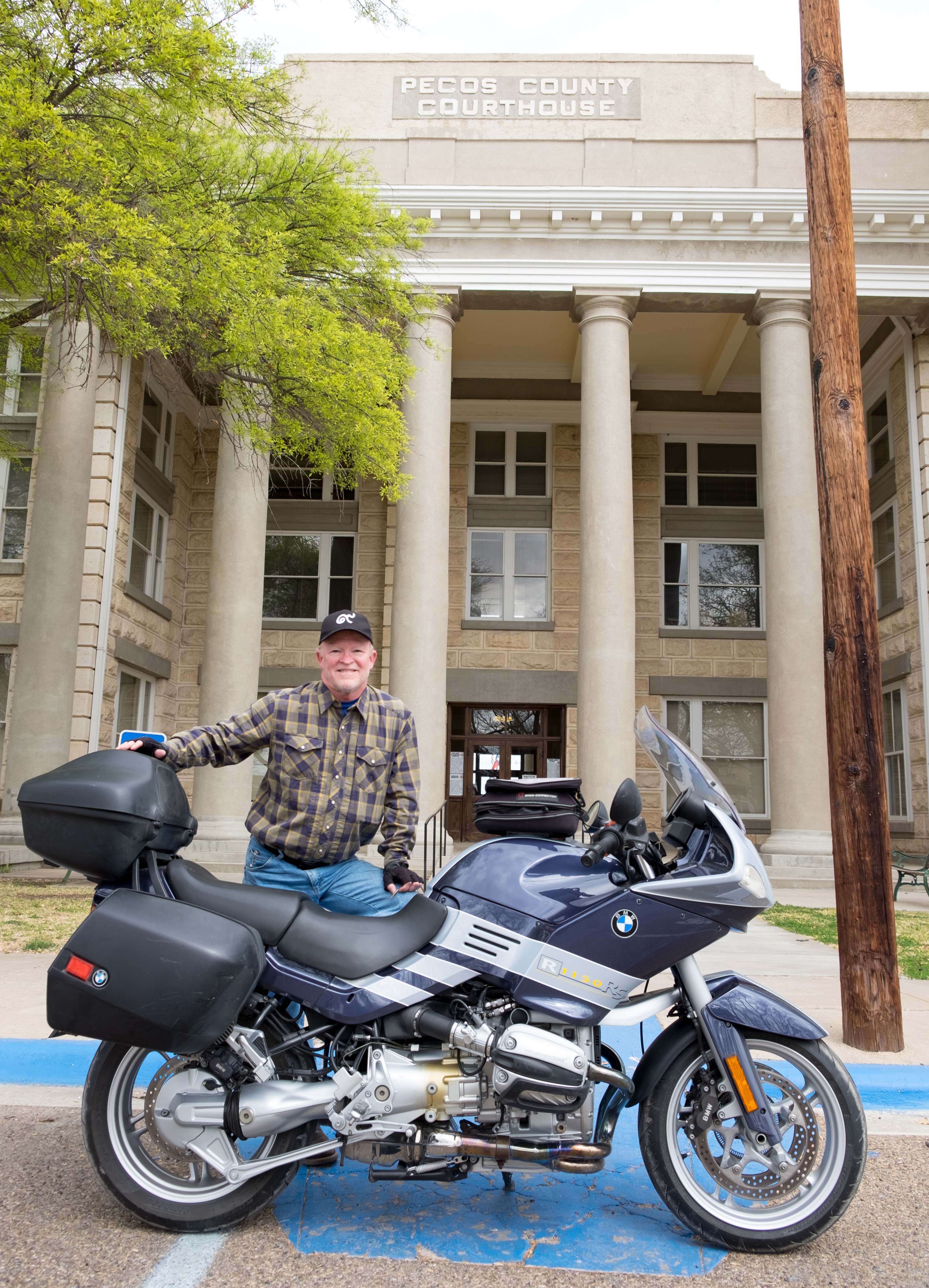
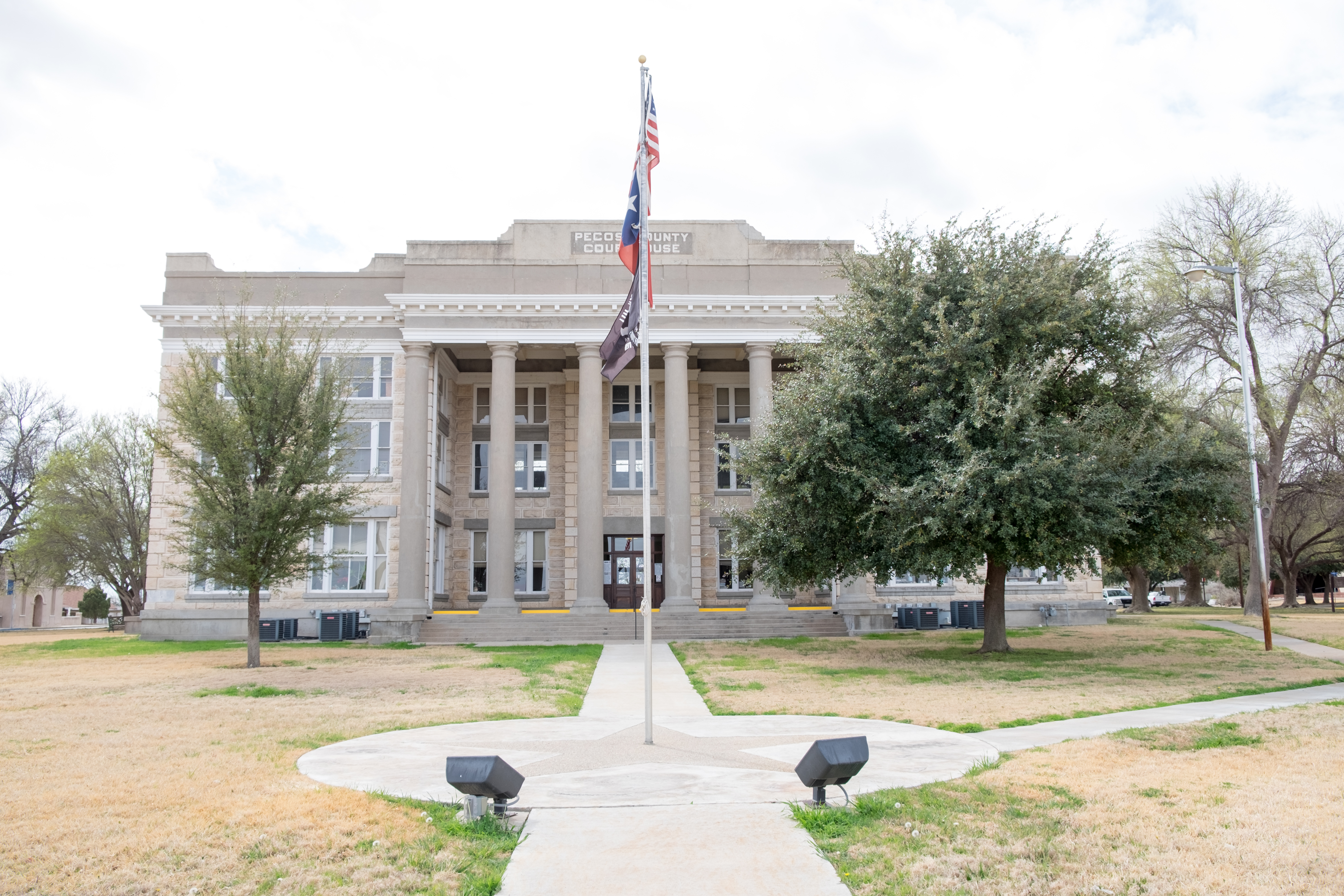
So on the way south from Pecos town to Fort Stockton, seat of (confusingly) Pecos County, I saw a magic bus out in the wasteland. I had to stop.
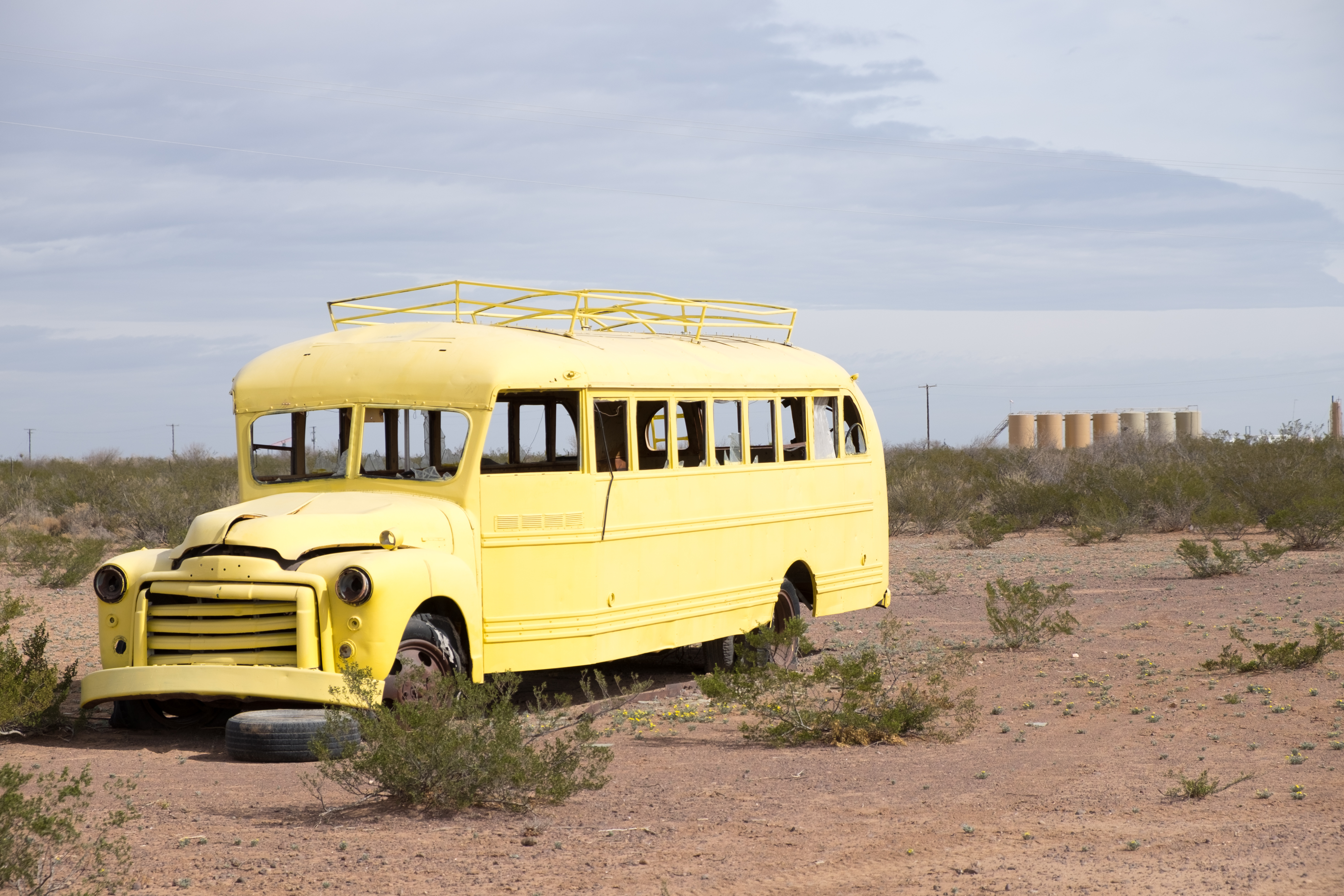
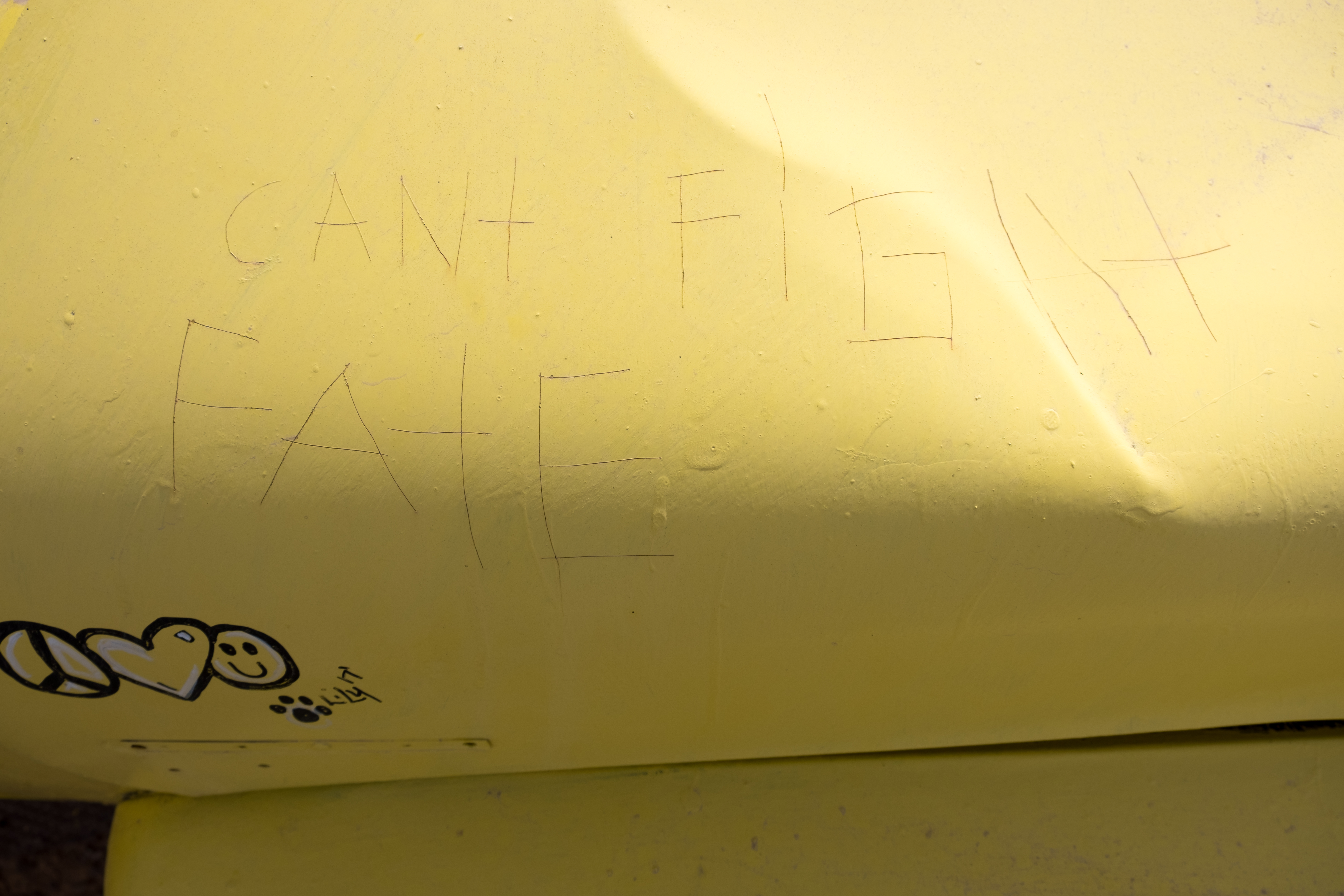
And finally, scratched on the hood of the yellow bus:
At Fort Stockton I joined up Interstate 10, where I spent a long afternoon doing high speed jousting with 18-wheelers. First stop, Fort Stockton itself:
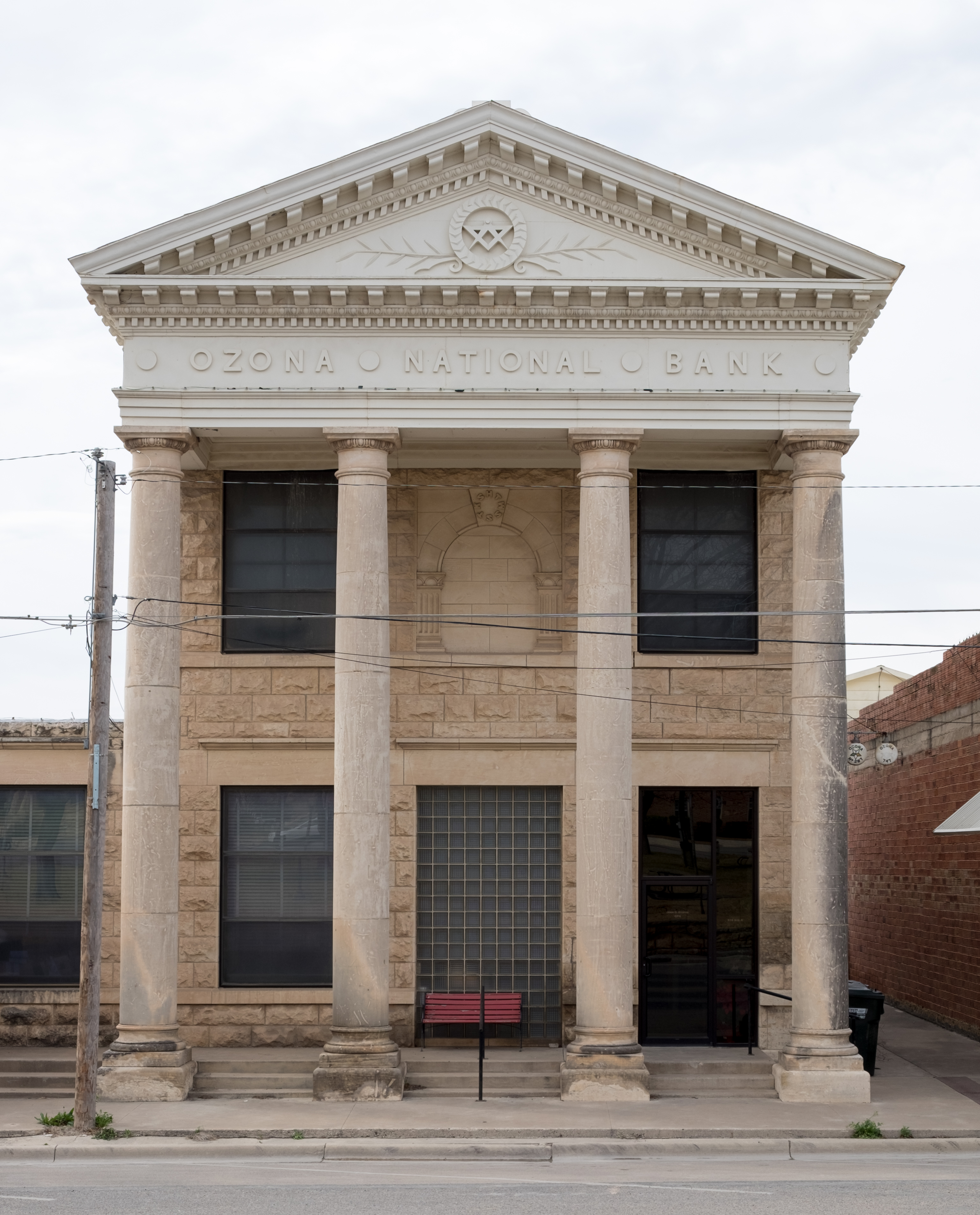
Long haul on I10 eastward from Fort Stockton to Ozona, seat of Crockett County, which turned out to be the crowning glory of court houses, and most charming little town, so far:
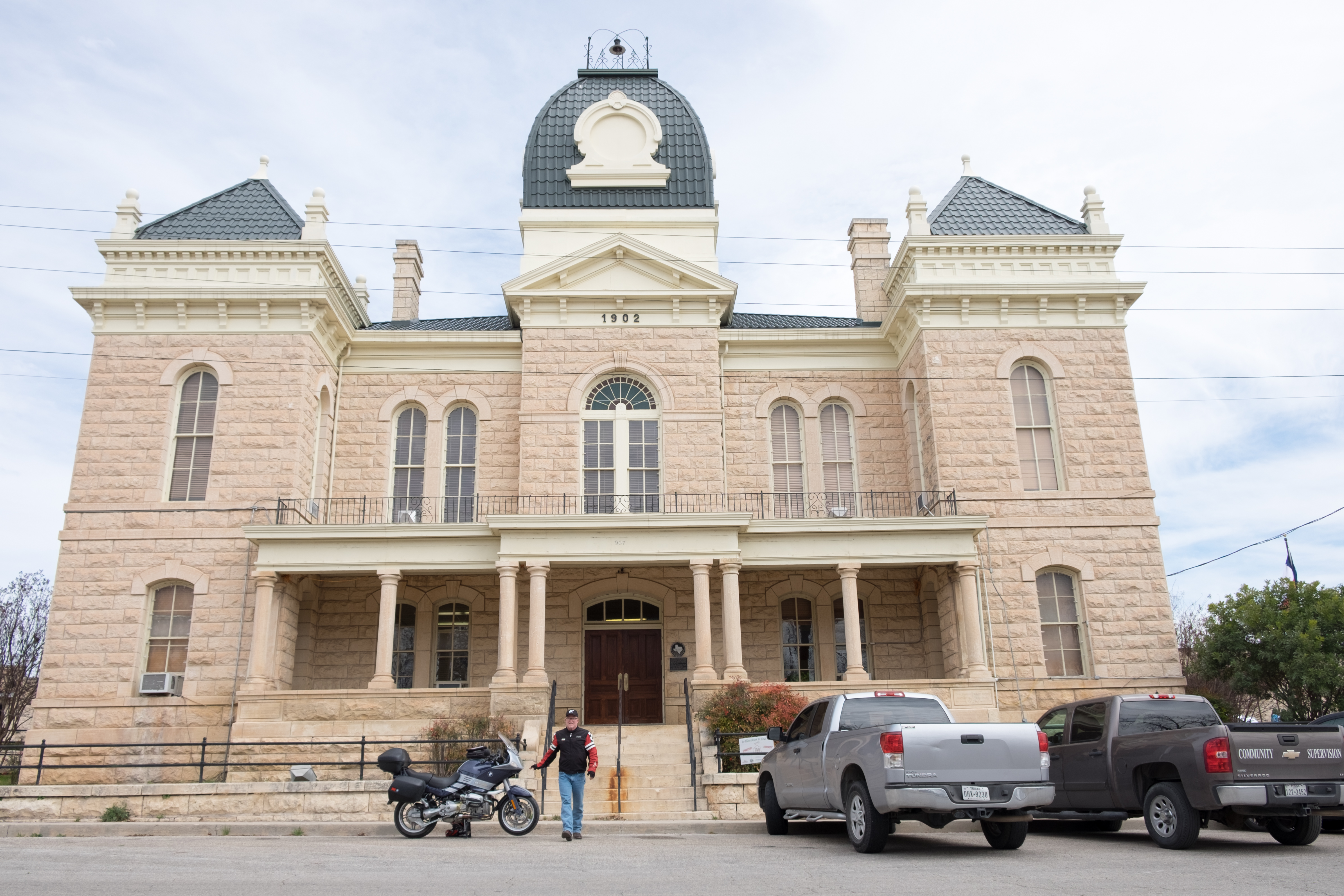
Yes, that would be Davy Crockett. This splendid building sits on a shady open park of about an acre. There are other beautiful buildings on the square and, this being Texas, a gun shop opposite the courthouse…
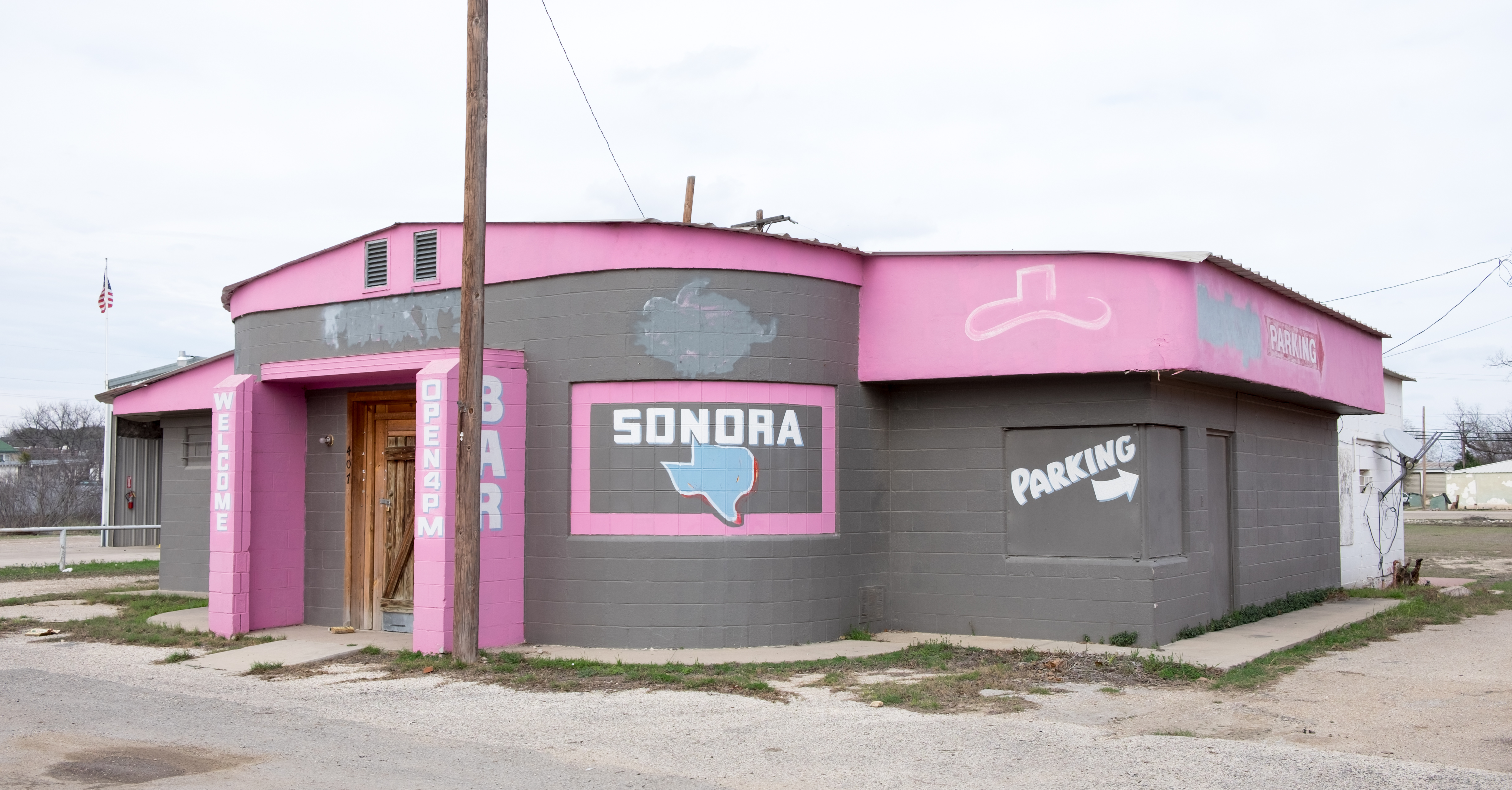
Continuing eastward on I10 to Sonora, seat of Sutton County, another very pleasant courthouse surprise:
Beautiful trees, another lovely little Hill Country town. In 1901 a member of Butch Cassidy’s Wild Bunch was shot and killed by the Sheriff in the local bakery. Dan Blocker was a high school English and drama teacher here before going on to glory as “Hoss” in Bonanza.
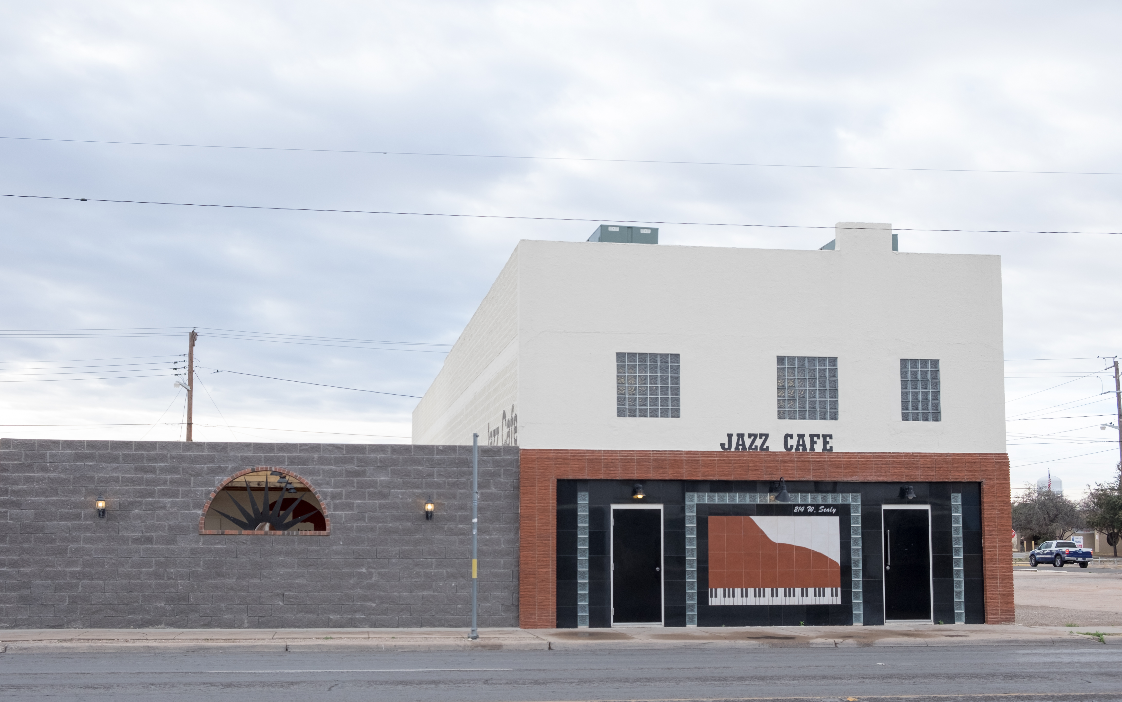
And even a place to boogie woogie!
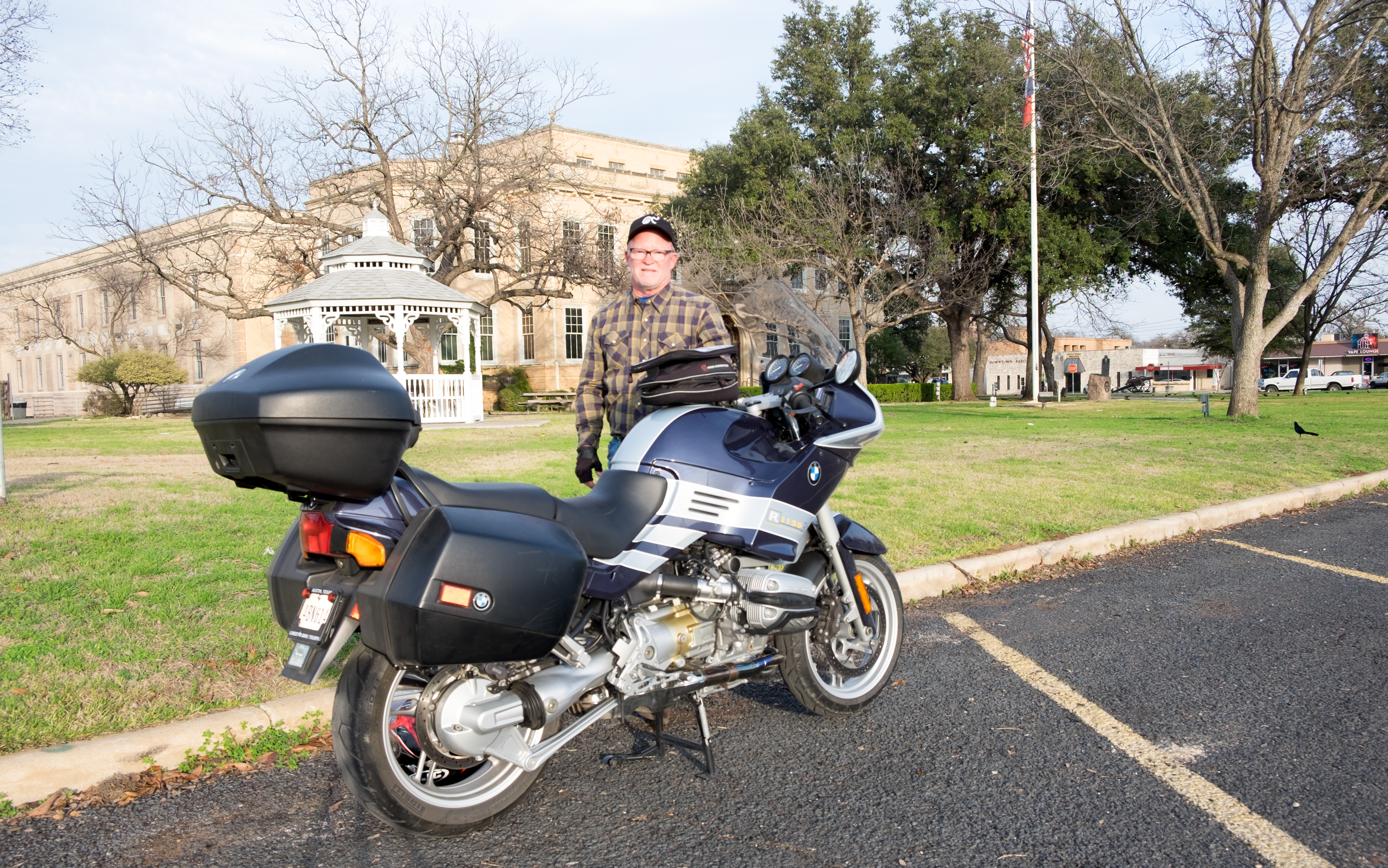
And on to the penultimate stop on this trip, Junction, seat of Kimble County, which I remember from my youth – we used to hunt up here…
Last stop, Kerrville, home of the famous Kerrvile Folk Festival. It has become very shi-shi and is a Mecca in Central Texas for old fools (like me), the difference being that Kerrville is for old fools with money.
Kerrville is also home of the now Chinese-owned Mooney Aircraft Company – when I was in my 20’s and learning to fly, the Mooney was the Ferrari of single-engined personal aircraft. Still apparently in business, their motto is: “We like to fly. Fast.”
Famous Kerrvillians include Kinky Friedman, self-proclaimed Texas Jew-Boy and candidate for Governor; Johnny Manziel, Heisman Trophy Winner; Robert Earl Keen; and two members of the 13th Floor Elevators – Roky Erikson is still alive.
And so, after the quick visit to Kerrville, back to Wimberley and Lucy.
This was an epic trip, full of adventure, excitement, beauty…and lots of food for thought. You’ll have seen from the images, if you’ve gotten this far, that West Texas ain’t no place for sissies…but, like Afghanistan, or Nepal, has a distinct allure.
44 counties now accounted for, about 17% of the total of 254. Next trip was supposed to be to the Panhandle, but weather next week doesn’t look favorable. (Panhandle not for sissies either… :-D)
Here’s the map after two trips: