Well, I went to bed in Sweetwater, dreams of rattlesnake fritters in my head, thinking that the next day would be a leisurely 300+ mile waltz back home to Wimberley. “Planning ahead” is a good idea, but as the Buddha taught, “expecting ahead” is not.
Here’s how the itinerary panned out:
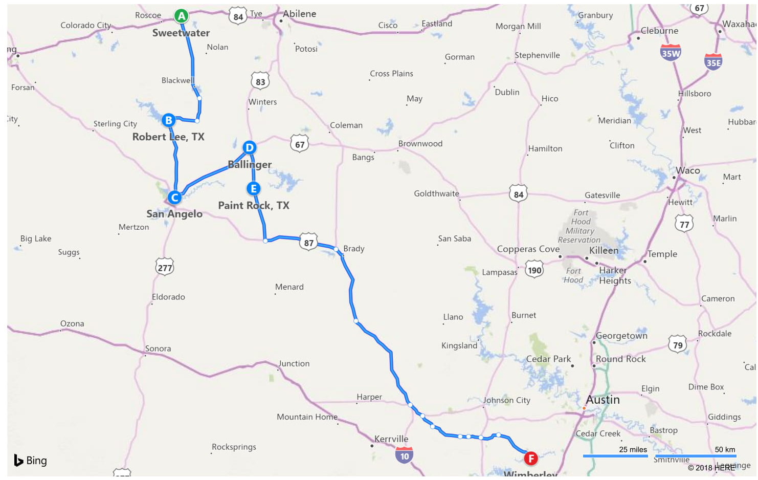
My motel was just a couple of hundred yards from Highway 70, which is a straight shot due south to San Angelo. The BMW was just purring as we navigated through the wind power generators and rolling curves that were familiar from two previous trips. It was serene.
As you head south, you start hitting literarily-named towns, the first of which is Bronte, named for Charlotte Bronte, though now pronounced in good Texas style as “Brahnt”. After Brahnt, you come to Tennyson.
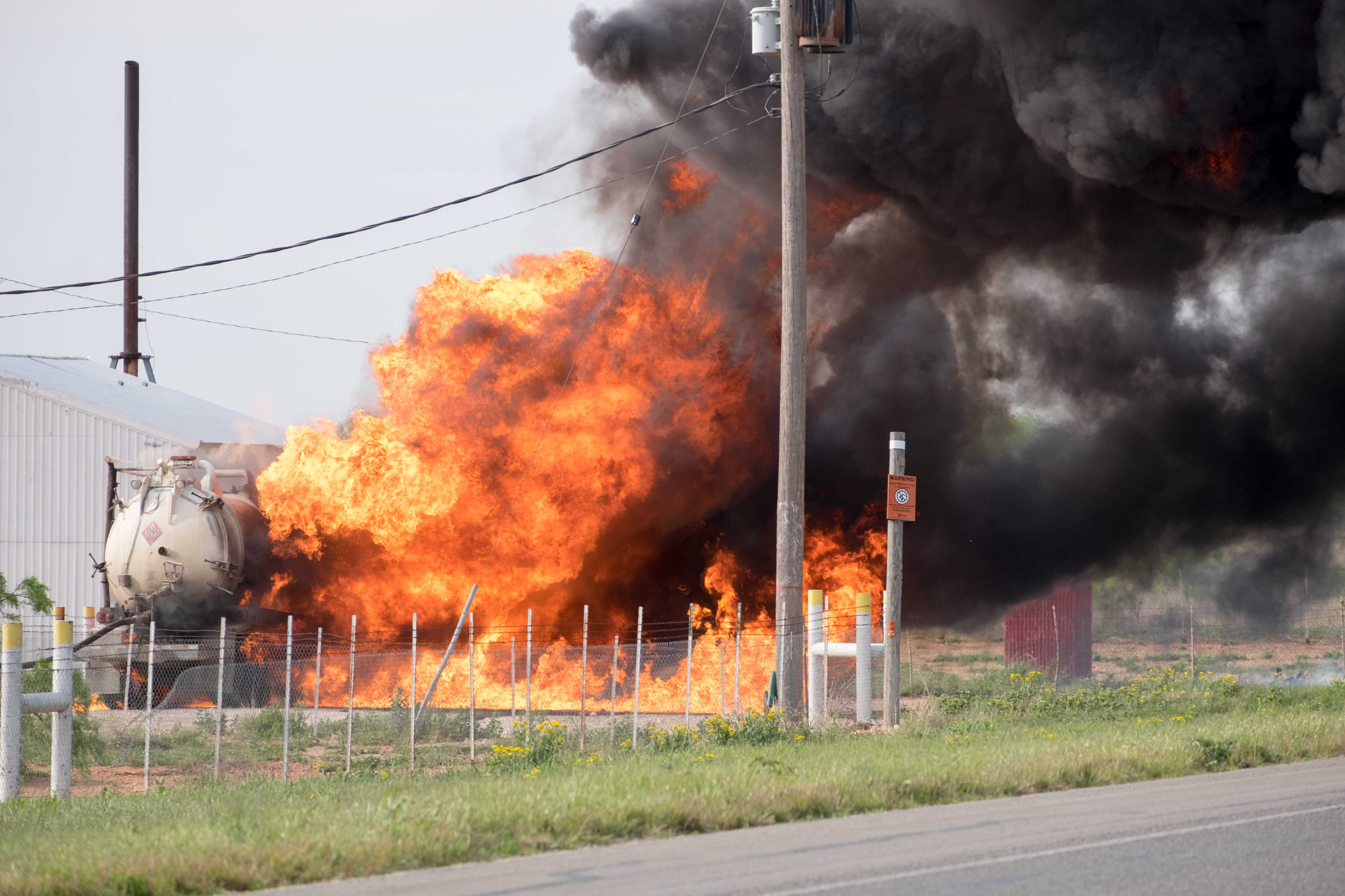
I, however, did not easily get to Brahnt. As I was zipping along, I saw a huge cloud of black smoke on the near horizon, and what was obviously a fresh and fully raging fire by the roadside. I could have blasted on through – the cops weren’t there yet, but I thought I’d put on the telephoto lens and see what I could see. As it turns out, a fuel tanker had somehow caught fire at a roadside fueling station, and the whole thing was threatening to simulate Kilauea if the fire got down into the underground tanks. Here are some scenes:
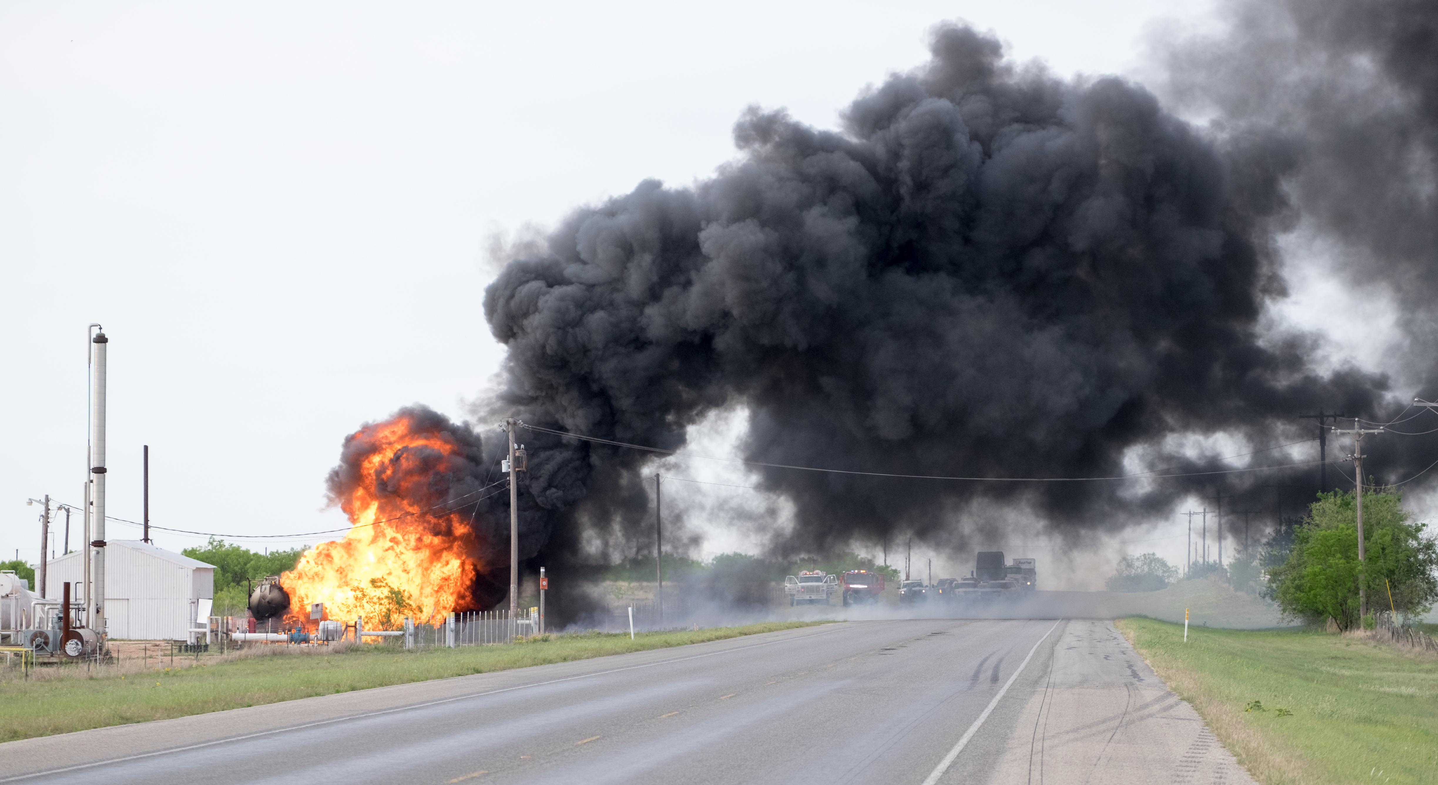
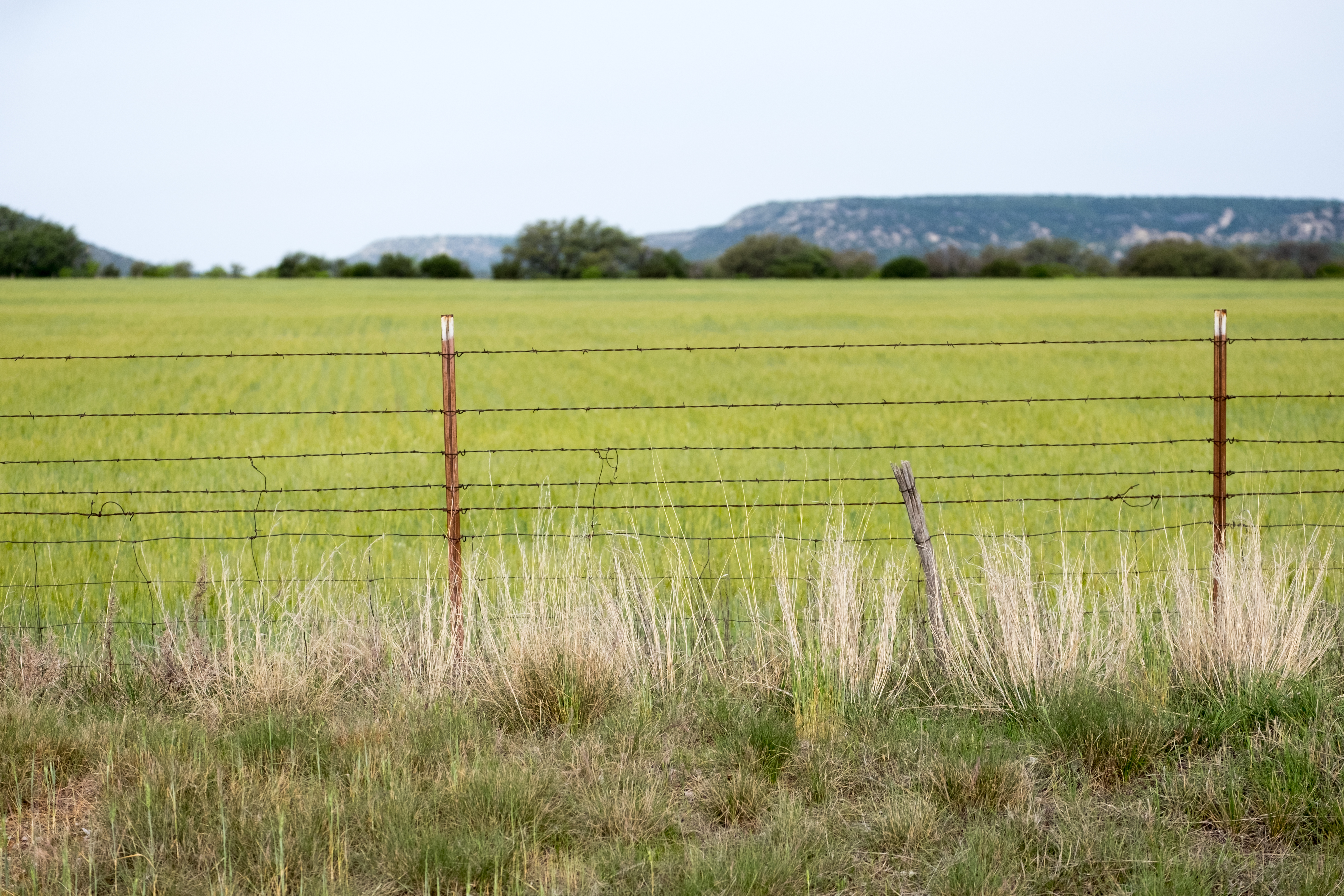
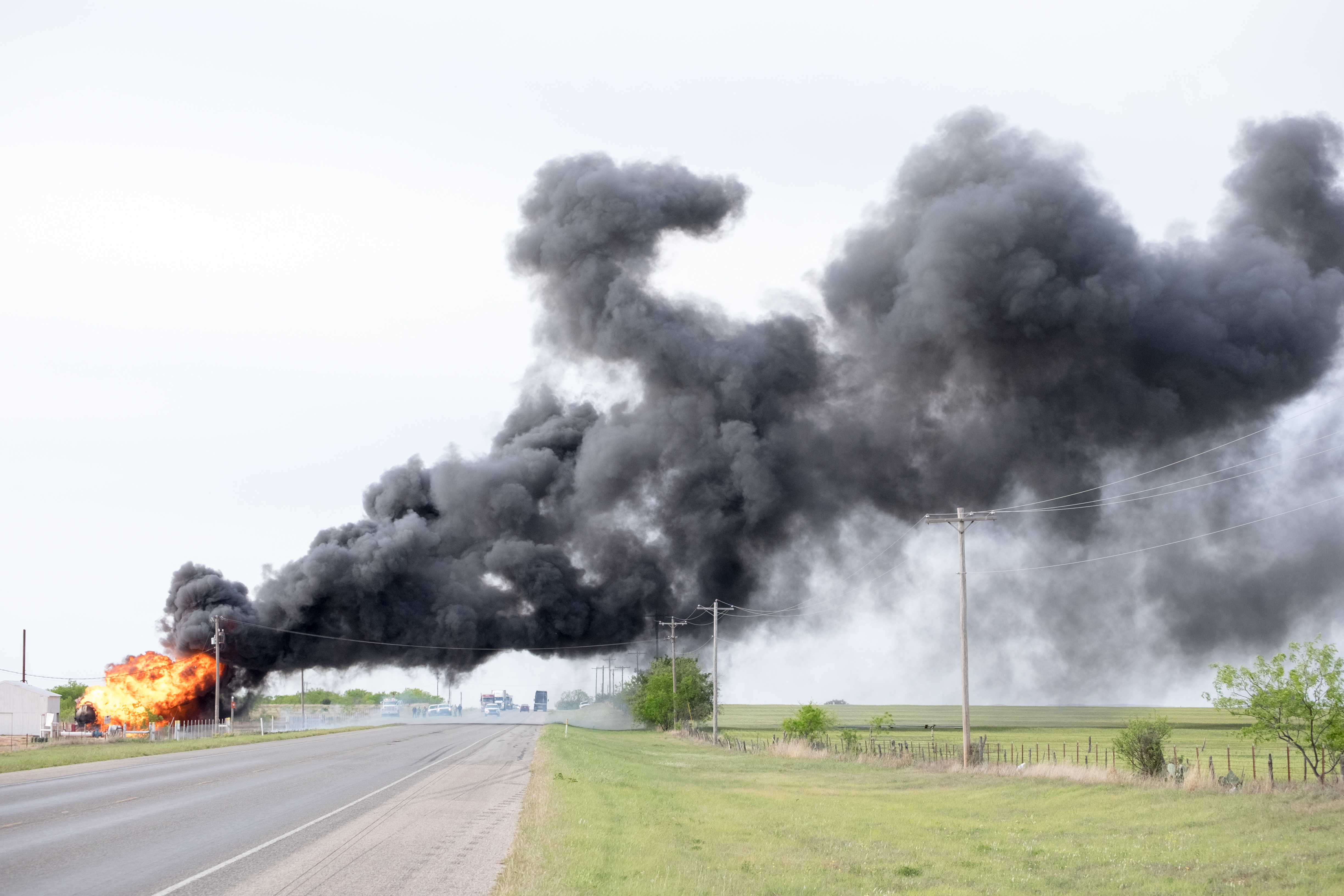
After about half an hour of ogling, a local fire official suggested that IF the underground tanks went up like a bomb, I might get more excitement than I had bargained for. He also mentioned that there was a dirt road that skirted the events, and would eventually bring me into Brahnt, from where I could branch westward to Robert Lee (Coke County) before continuing on southward to San Angelo.
Me being me, I would at that point have simply dialed the BMW up to 100+ and hoped that the explosion did not happen during the 2-3 seconds of maximum exposure, but by that time there were authorities on the scene and I found the prospect of getting arrested more daunting than death by explosion (having already had that near-career-ending experience in Afghanistan in 2013) – so I set off on the dirt road detour to Brahnt. So did everyone else, so I had a half-hour dirt-eating experience that was reminiscent of the old days driving from Bamako (Mali) to Banamba – except that one lasted 3-5 hours, depending on the weather.
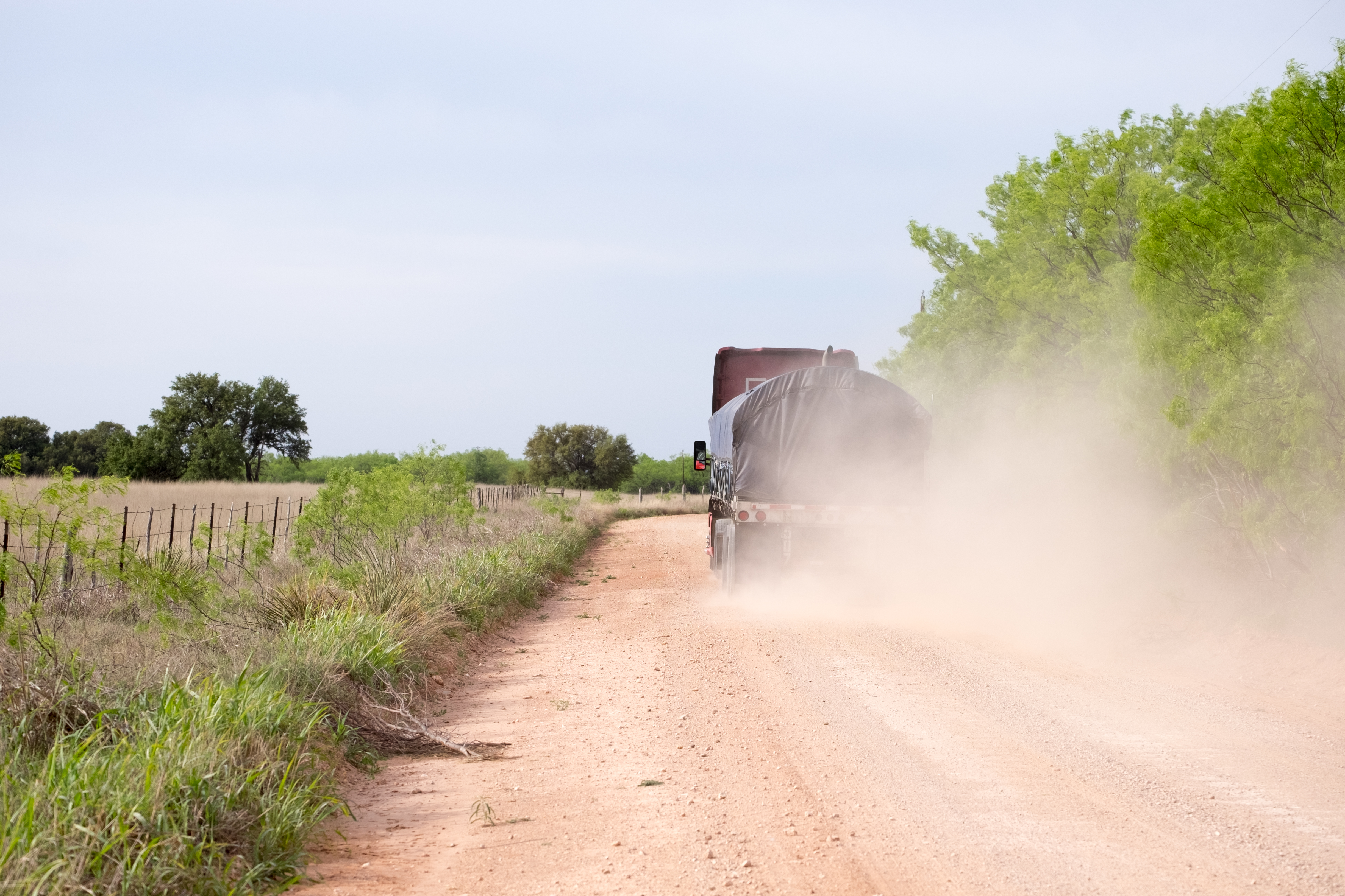
You did get an interesting view of the fire from the dirt track, however, as the wind was blowing it directly toward us:
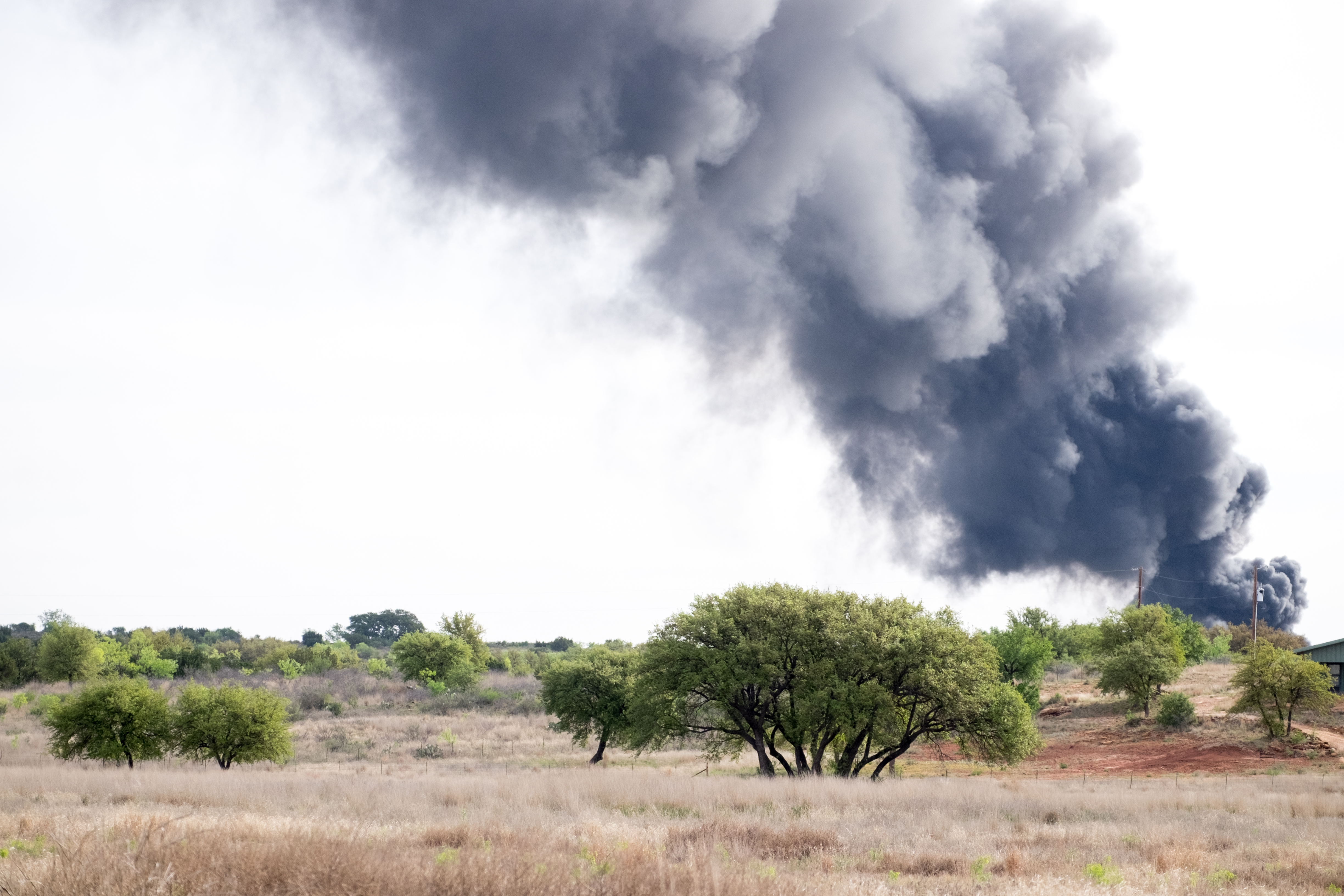
Once arrived in Brahnt, I headed due west to Robert Lee, county seat of Coke County. This place is WAY out there. Though the Confederate commander Robert E. Lee was based at one time in Texas, I am not 100% certain that this town is named for him. In any case, it feels like the end of the world.
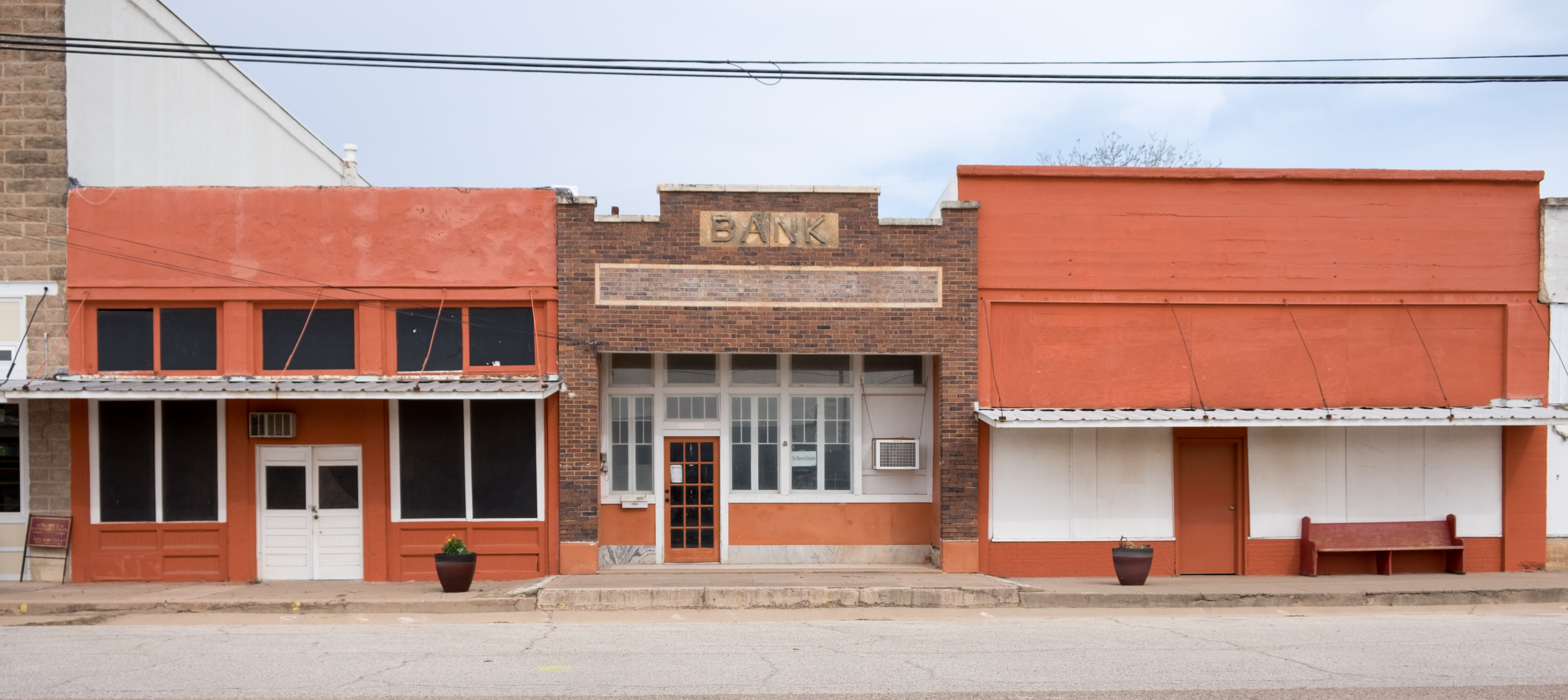
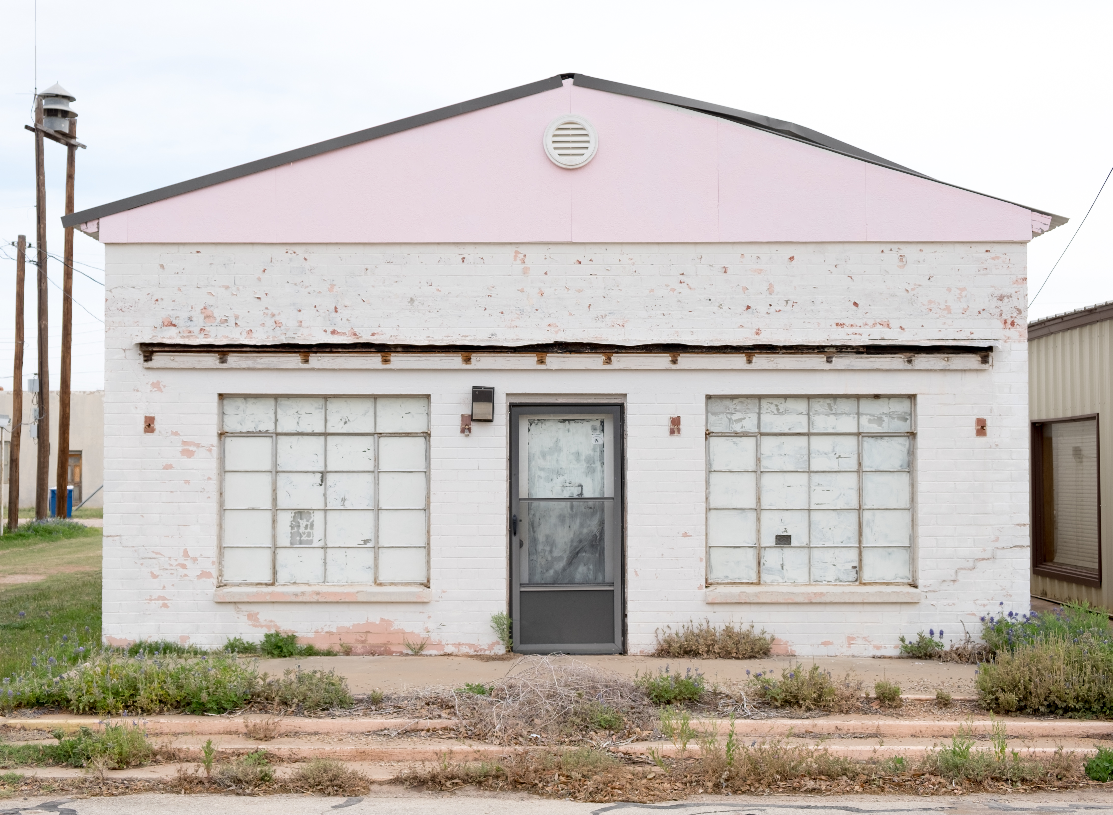
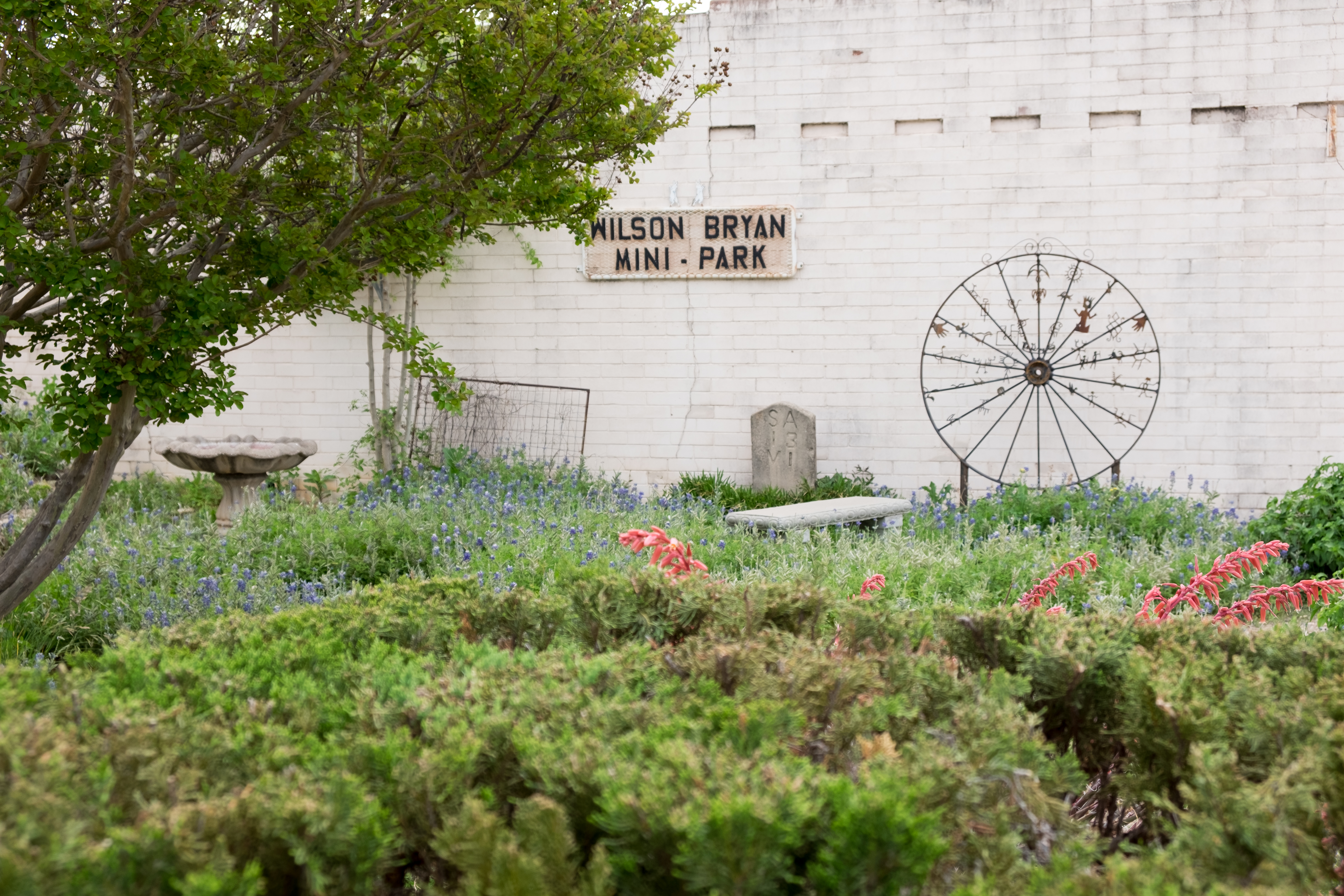
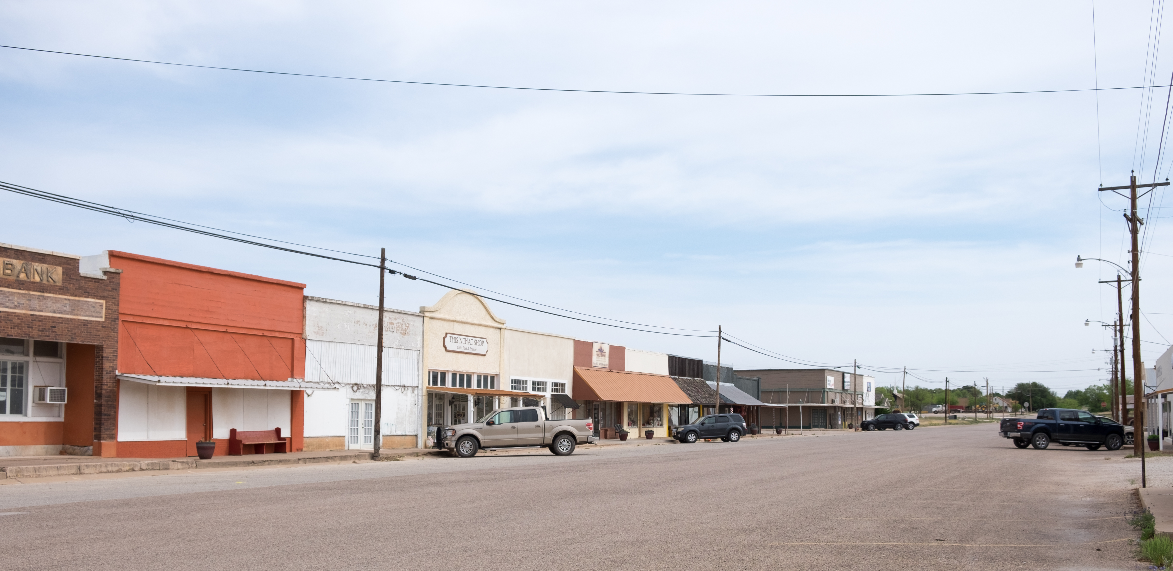
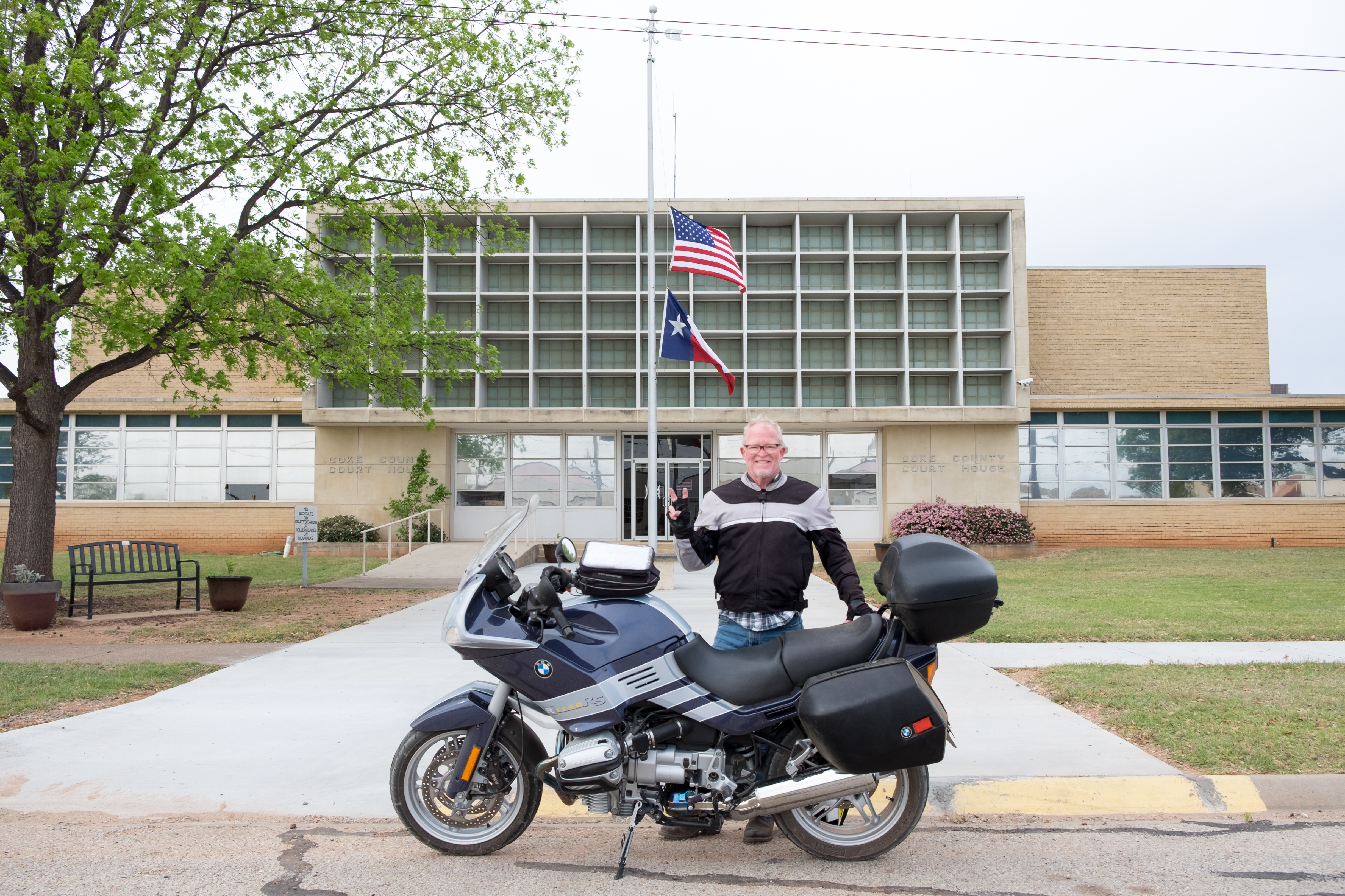
The flags here, as at other courthouses on this trip, were at half-mast in honor of Ladybird Johnson, who had just passed away.
To my chagrin, I saw a historical marker that I believe was here in Robert Lee, but I did not photograph it. My recollection of the text is that it began “When the Indians left Coke County in 1875…” This area had been the center of Comanche, Apache, Kiowa, and Kickapoo tribal activity. The way the historical marker reads, it makes it sound as if the “Indians” just decided to up and leave. In fact that was when they were forcibly rounded up and marched off to, mostly, Oklahoma. If we are going to accept that historical locations have value in “teaching” history, then I argue that confederacy, slave-holding, and betrayal of Native American groups merit an attention to factual detail that is certainly not in place now. (Recall that the Confederate flag still flies over the courthouse in Goldthwaite, presented in one of the Day Trips.)
The ride south from Robert Lee to San Angelo was through a barren but beautiful countryside that I had never imagined. It is equally difficult to imagine how white people could have prevailed over the Native American tribes that lived there. (Guns and gunpowder may have helped…)
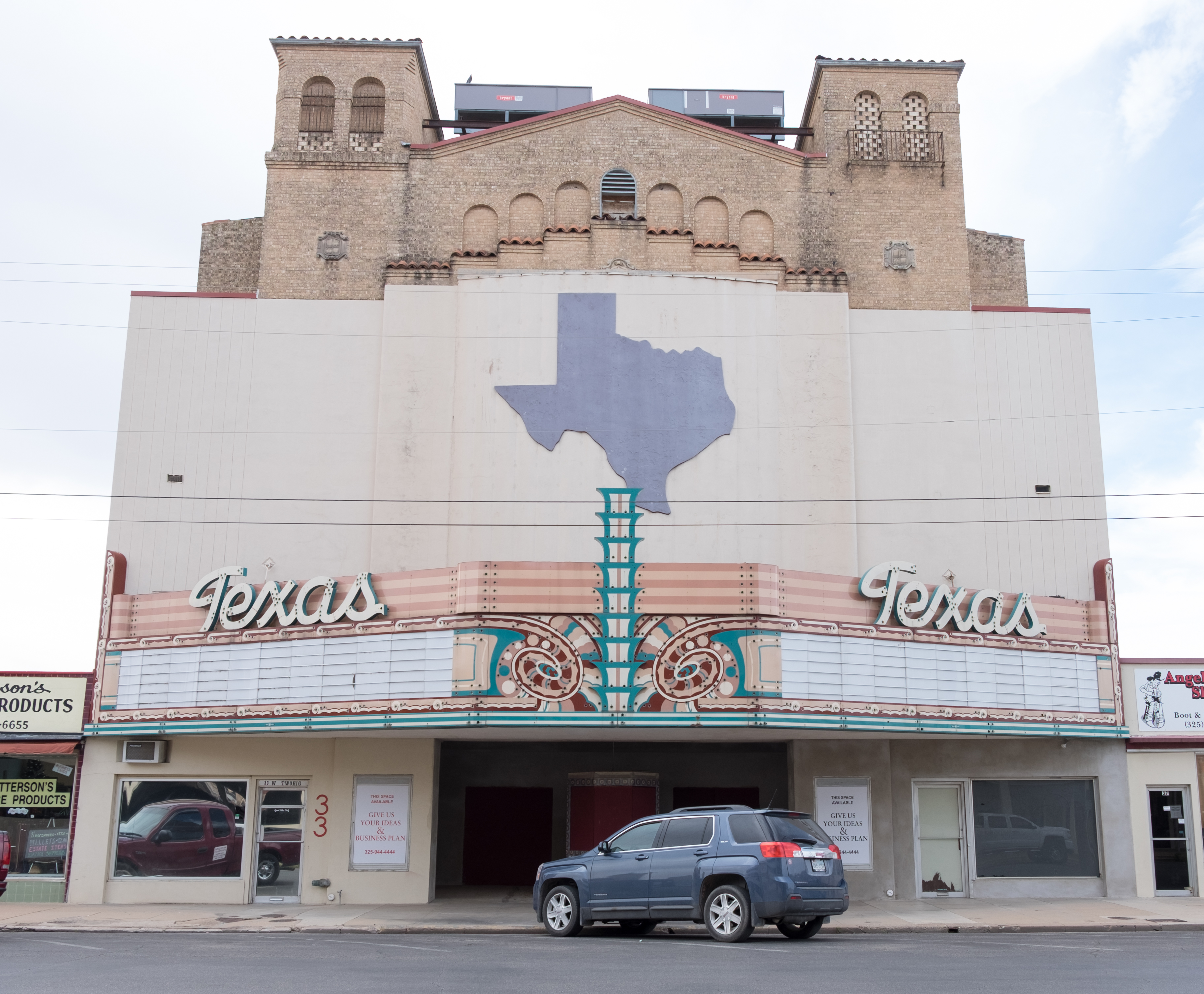
I had never been to San Angelo, and had imagined it as having more sheep than people, like Rocksprings, but in fact it is a charming little town with a stunning courthouse.
San Angelo also had the prize-winning mural, so large that I had to break the photos up into segments:
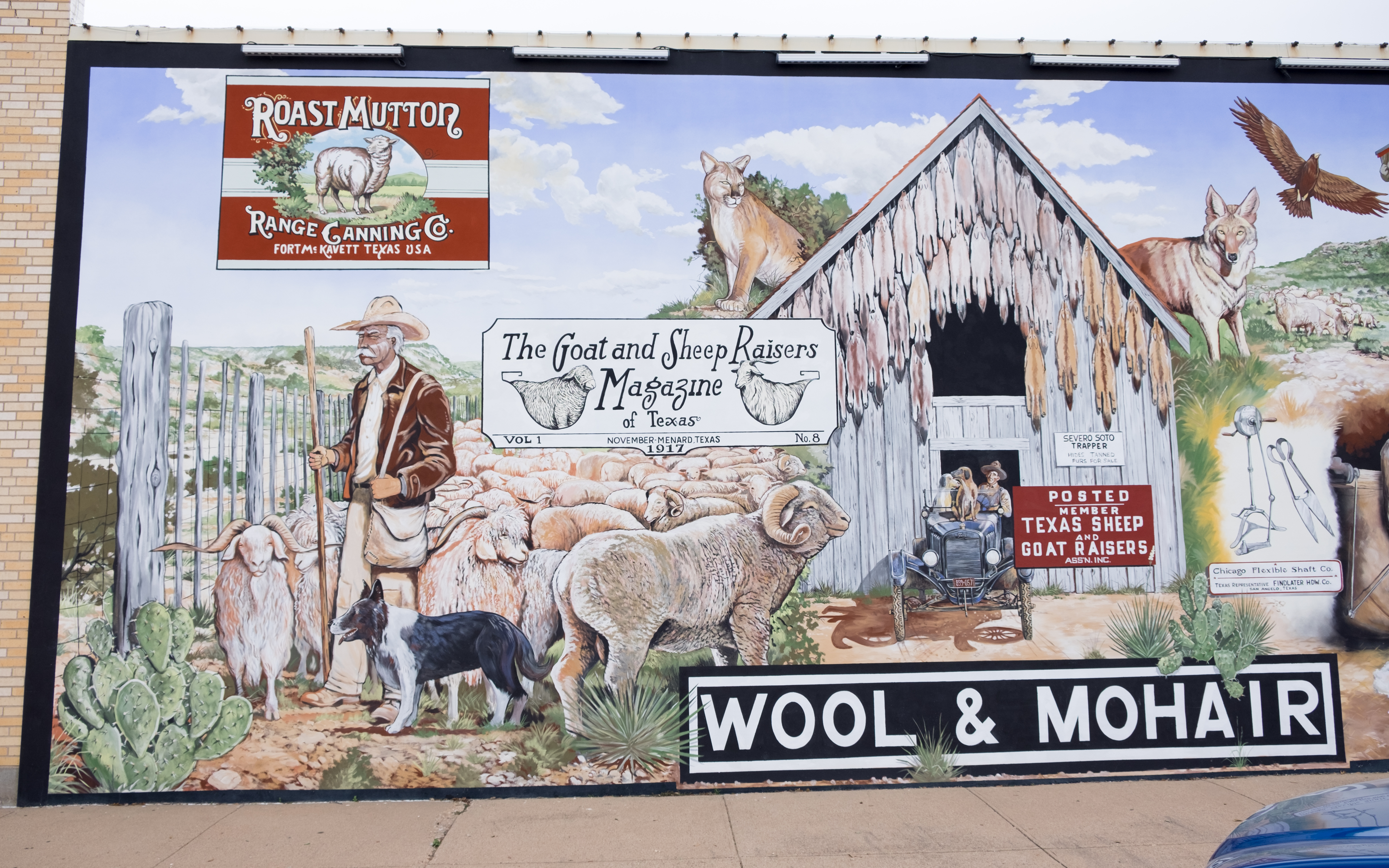
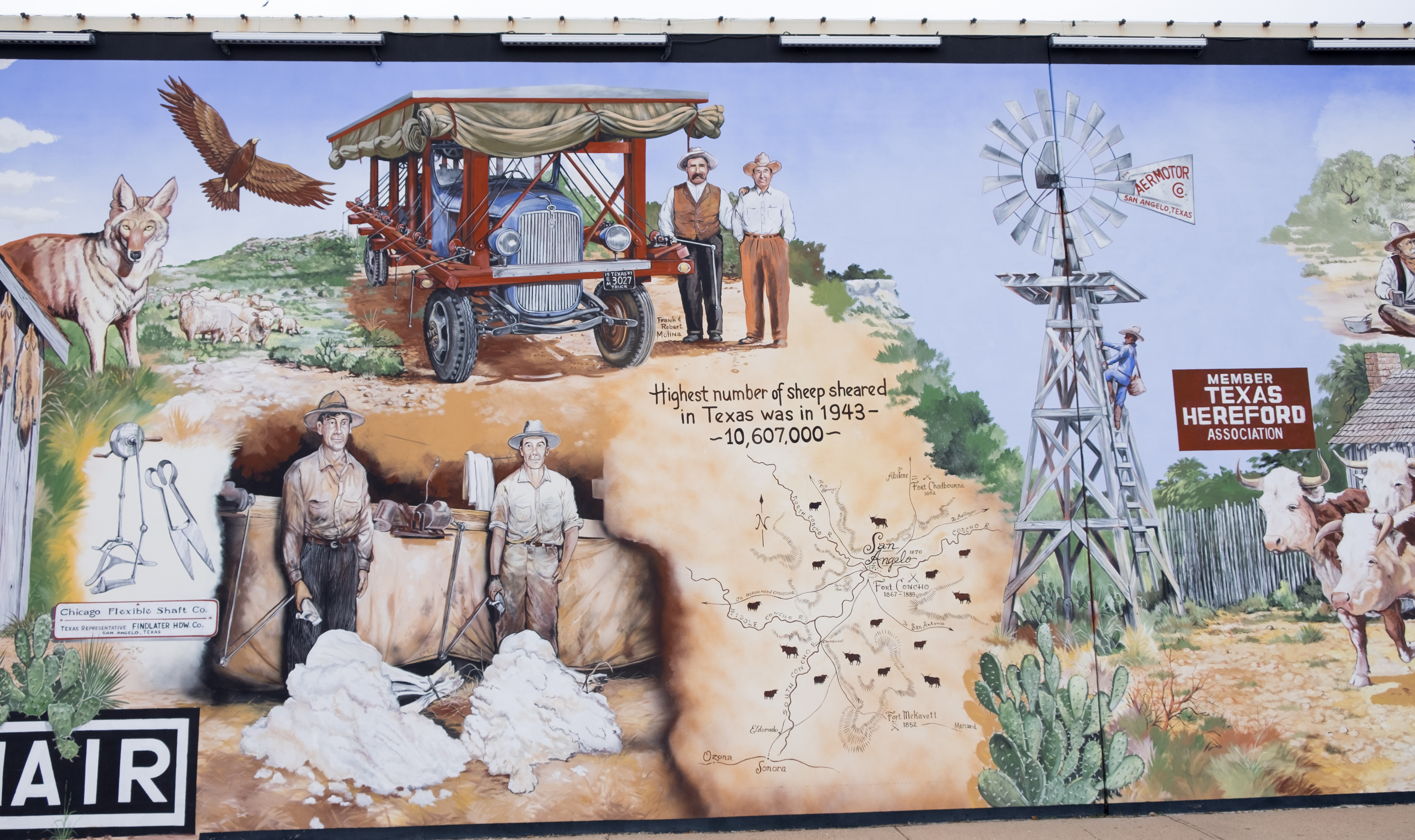
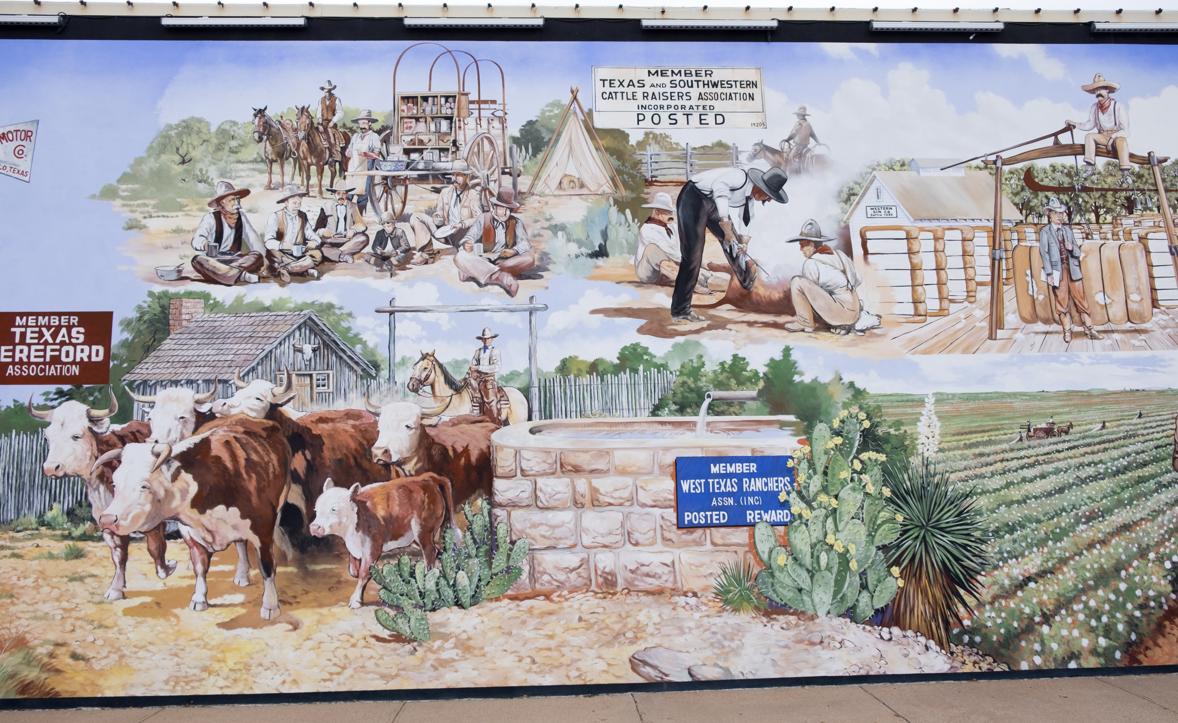
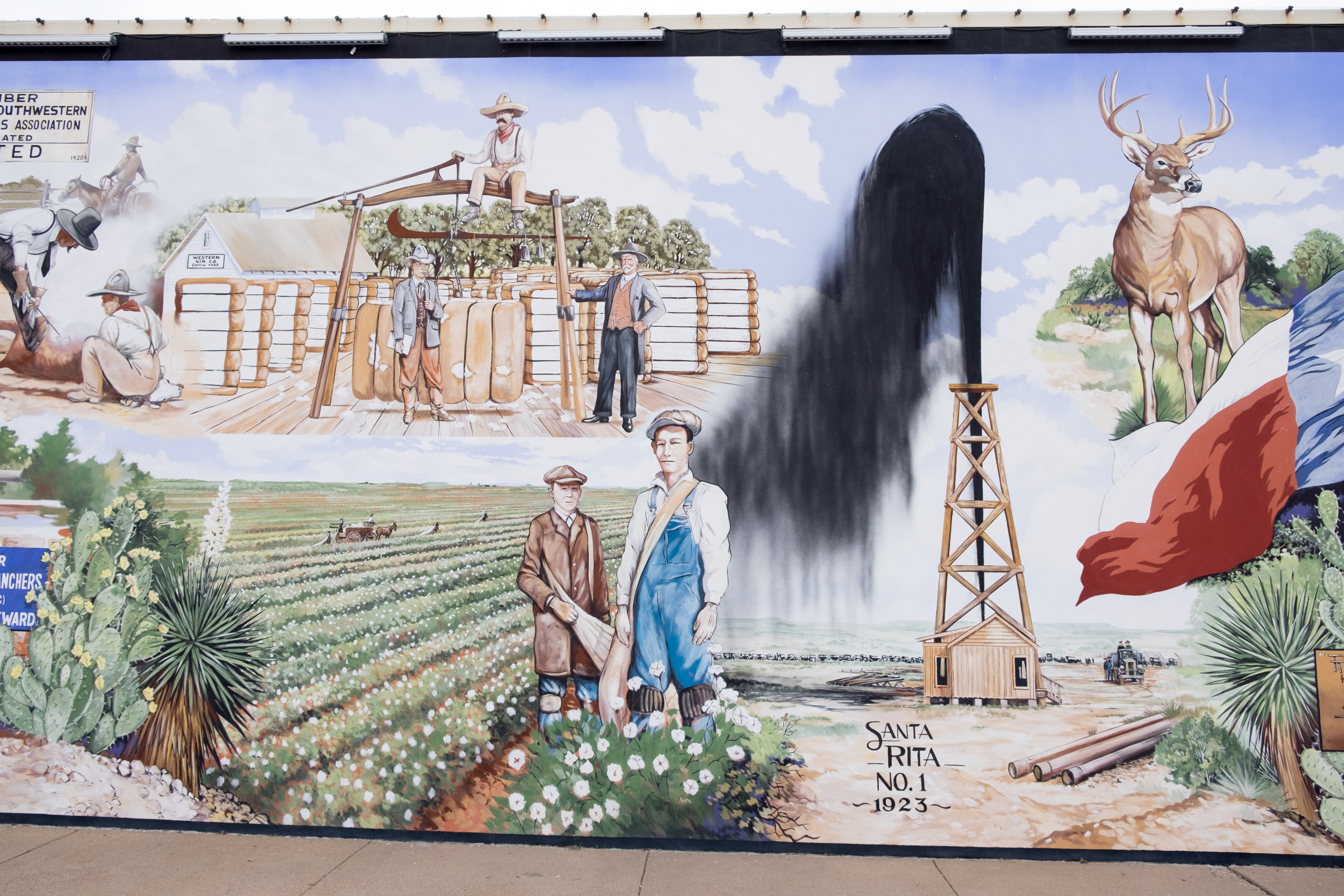
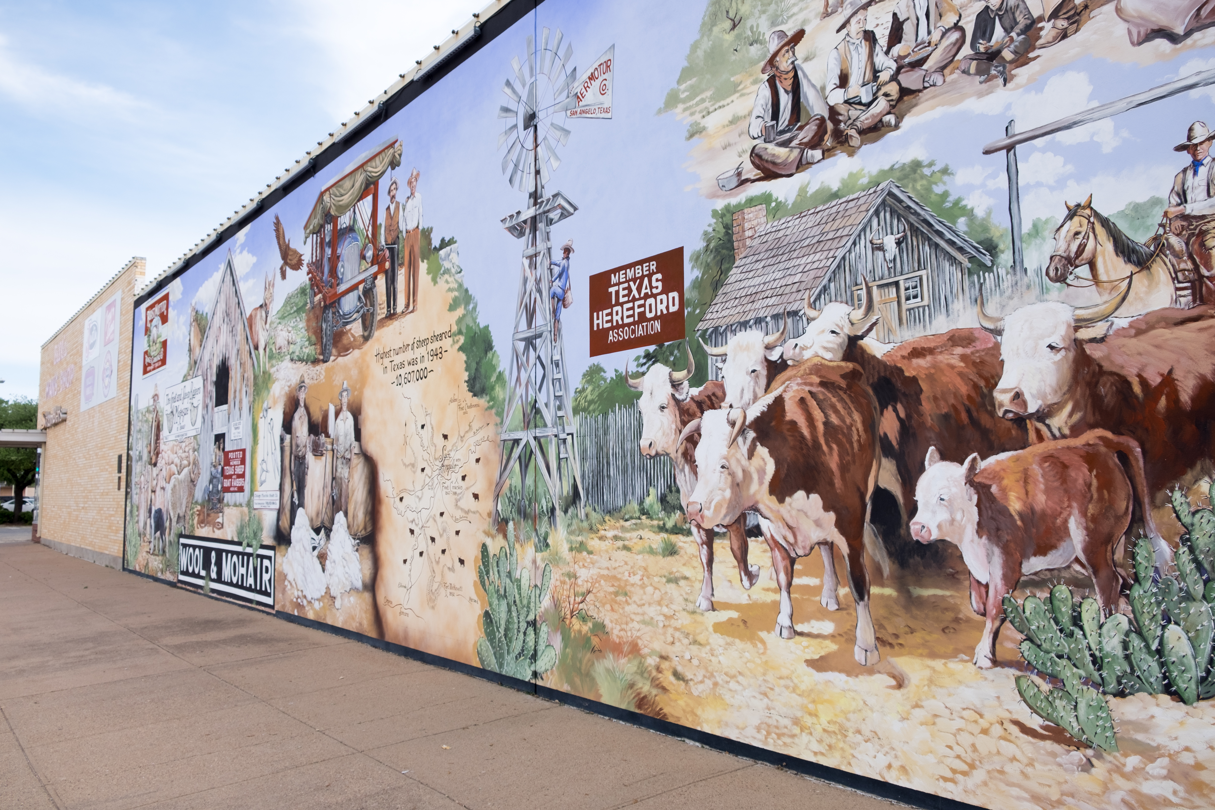
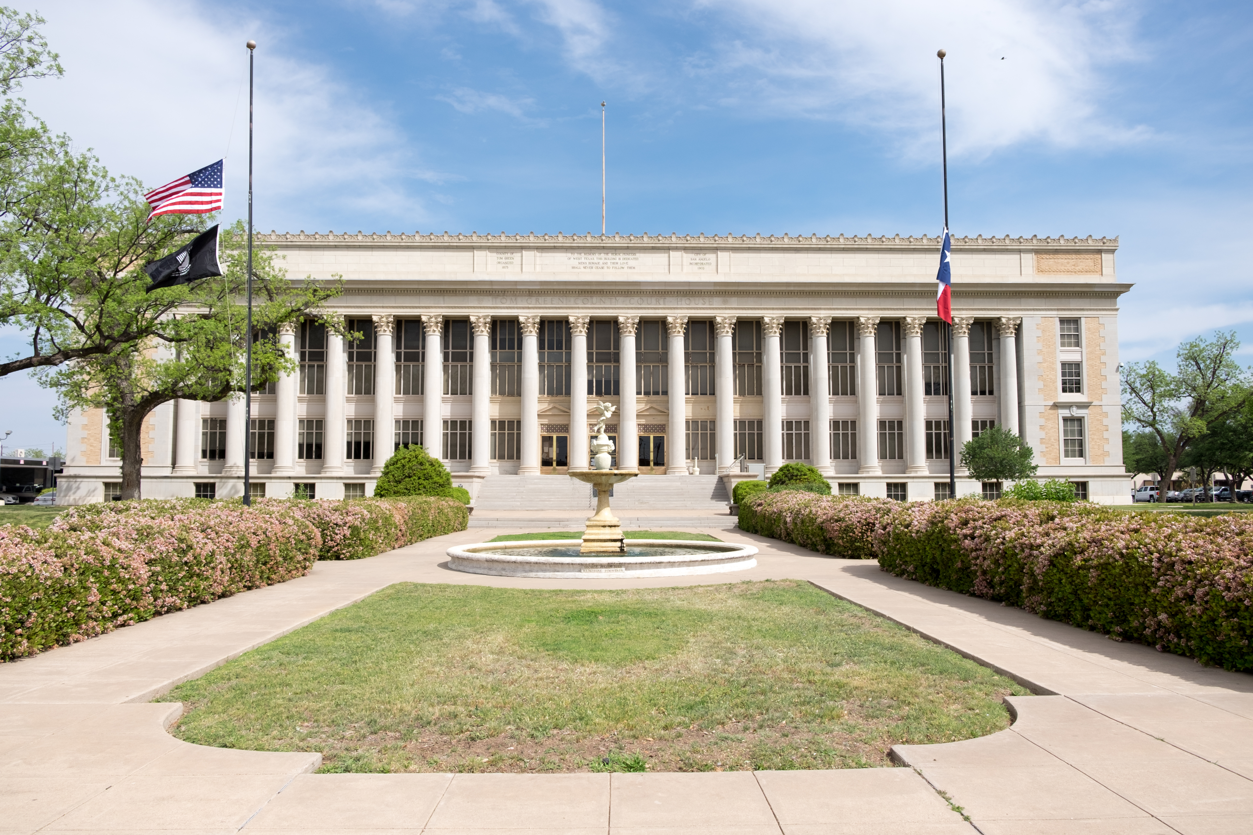
The courthouse is the most prepossessing of all the ones I’ve seen so far – it looks like it came from Greece. It’s also well-protected, as this was one of the only courthouses at which I’ve had the authorities come out and question what I was doing. They radio’d back to their handler that it was just some old guy takin’ pitchers. I could not actually see it, but I assumed that the snipers loosened their touch on the triggers.
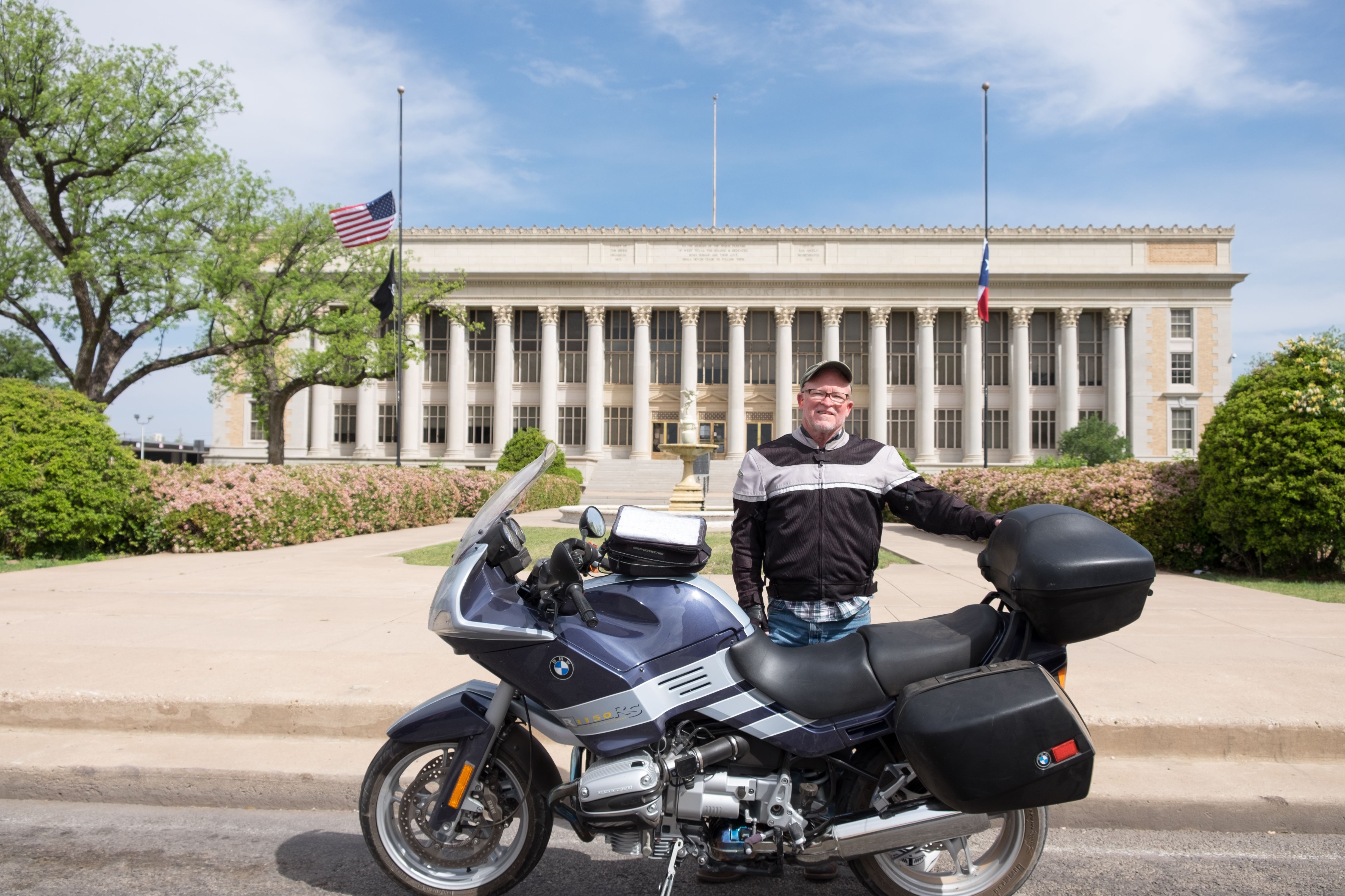
The courthouse minus me:
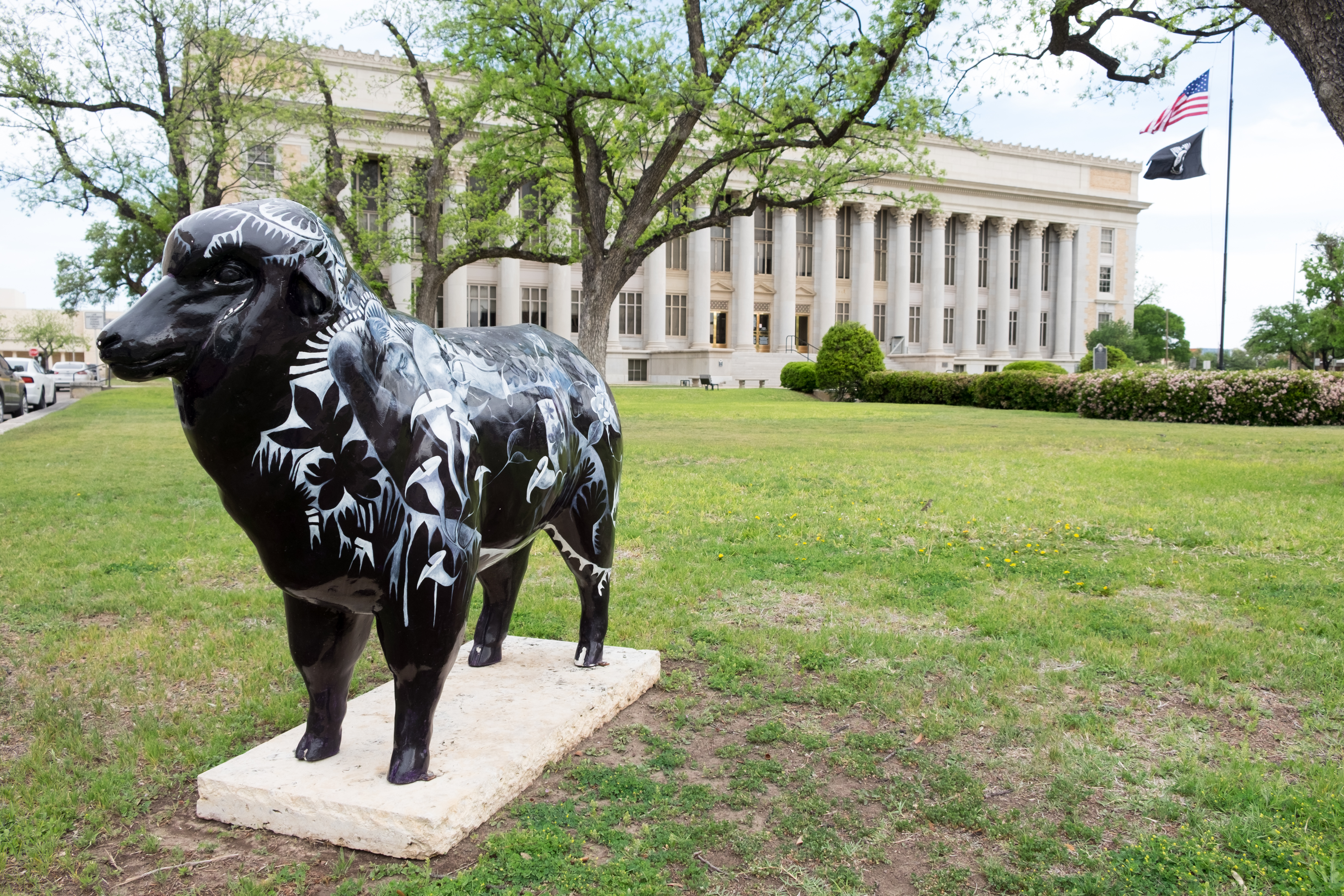
While I cannot prove that there are in fact more people in San Angelo than there are sheep, I guarantee you that I did not seen any people at the courthouse that were any prettier than this sheep…
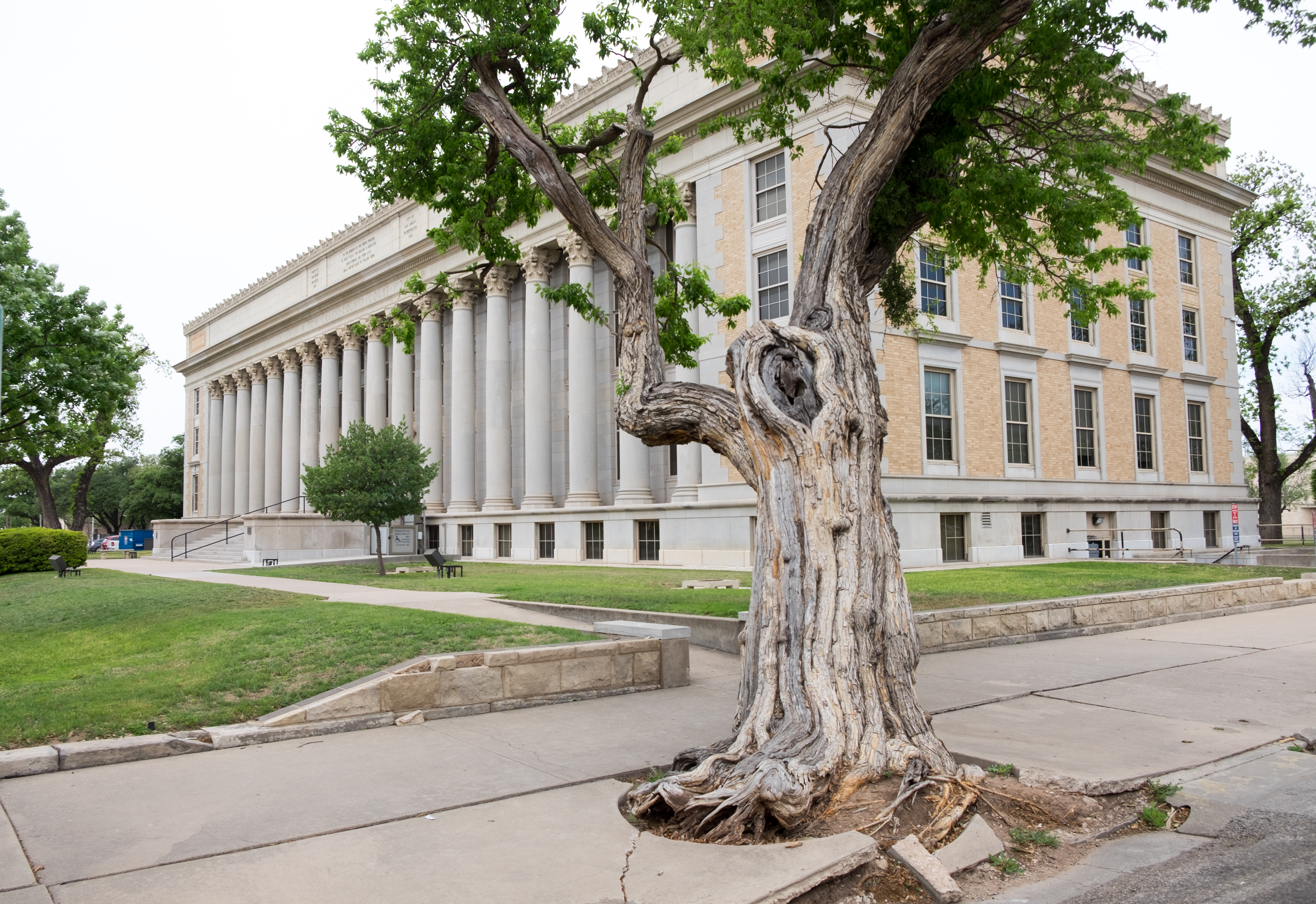
The security guards told me that this tree beside the courthouse is sacrosanct and has a special place in San Angelo history.
The courthouse was constructed exactly 90 years ago. San Angelo itself began as the site of Fort Concho, which was home base for the African-American cavalry known as the “Buffalo Soldiers”. They were used to fight against the Native Americans (thereby solving two problems at once…).
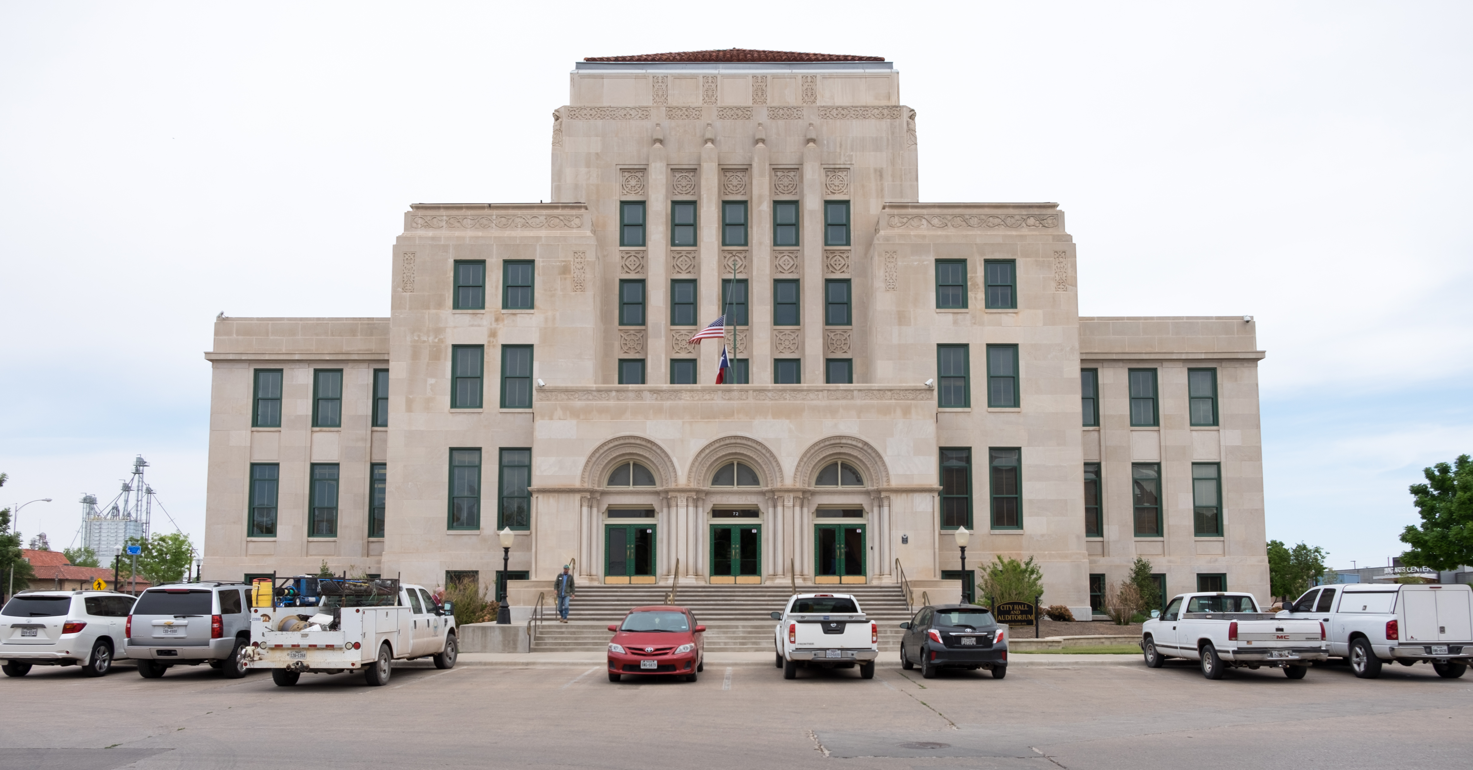
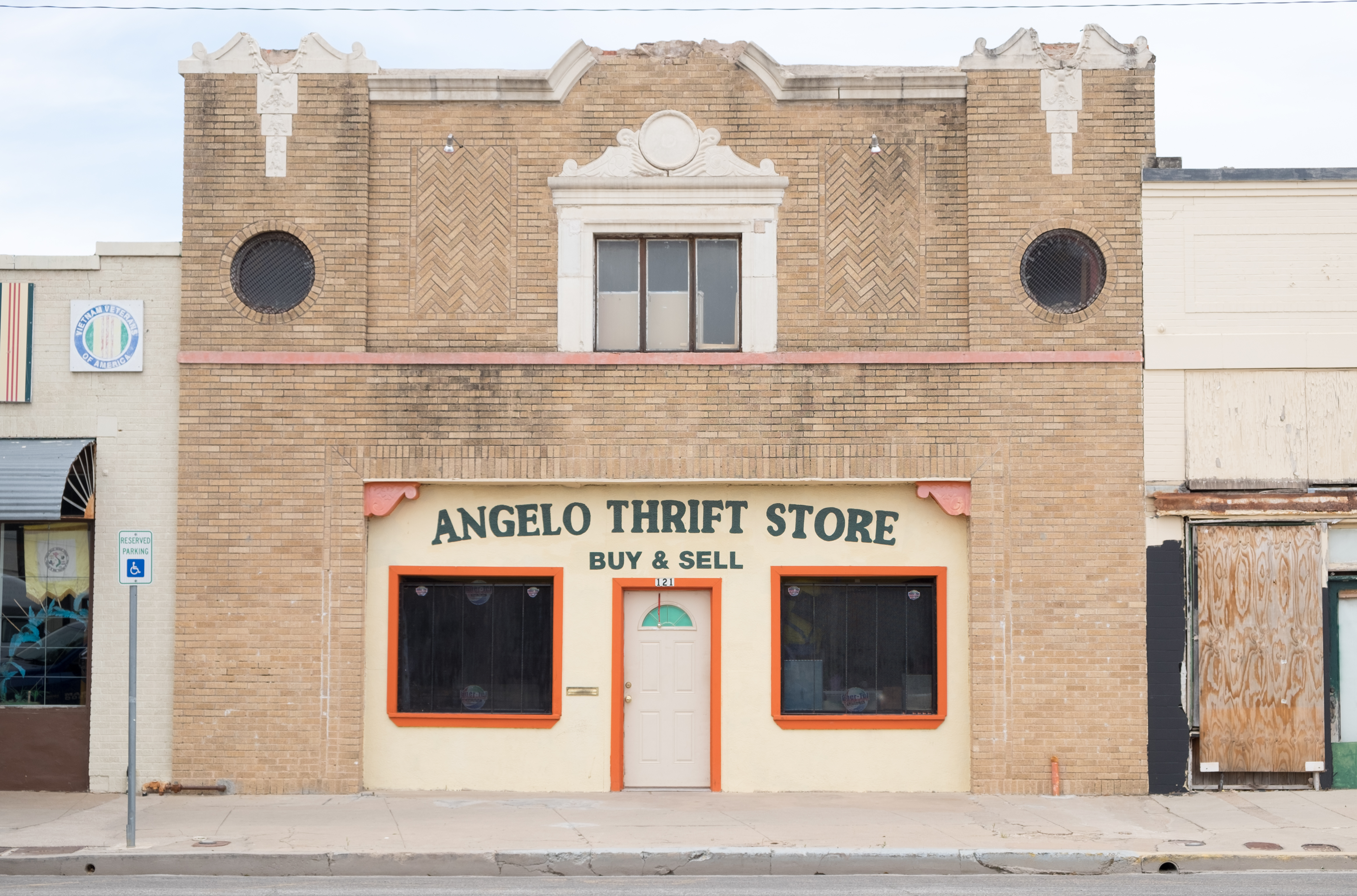
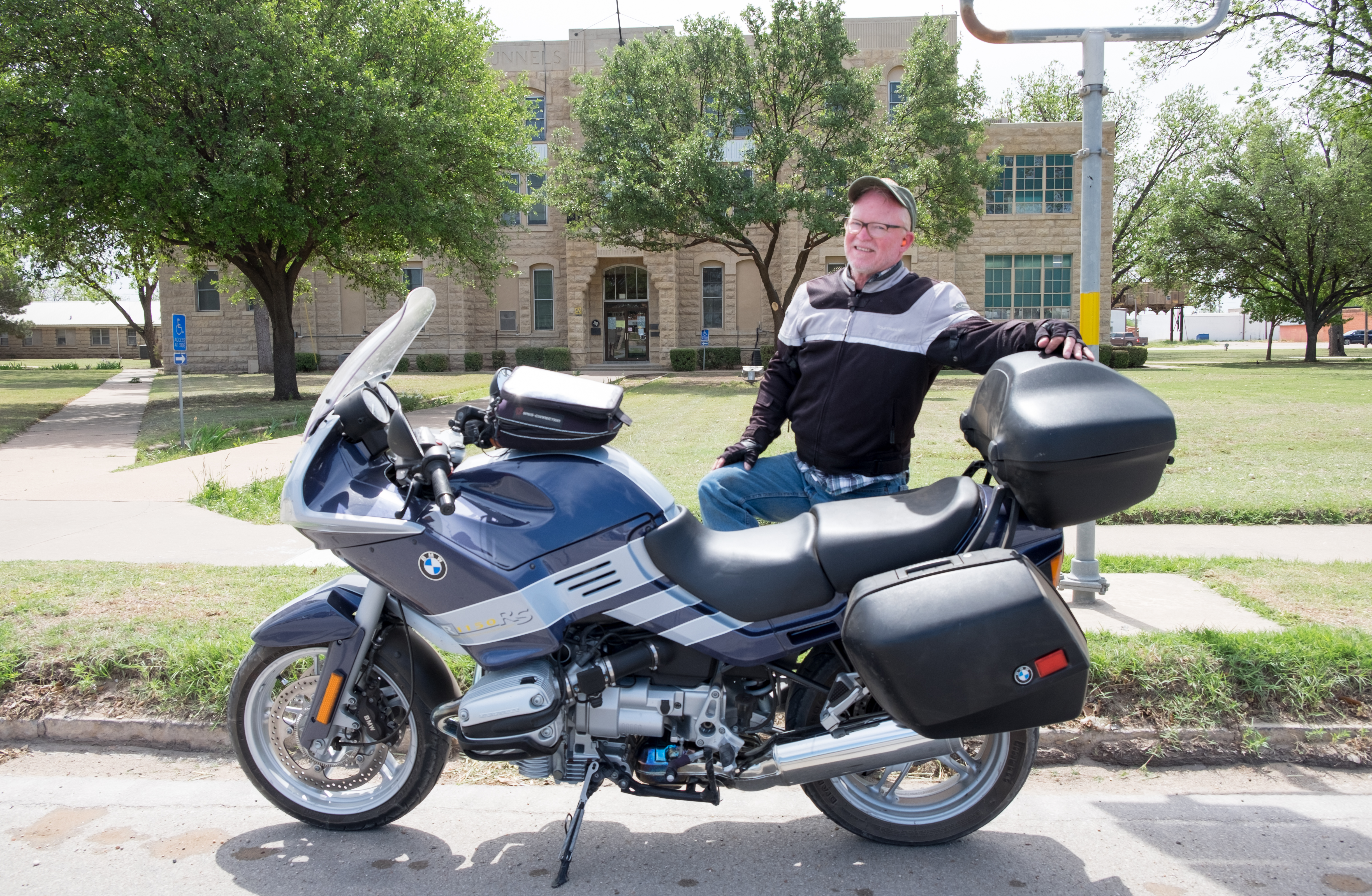
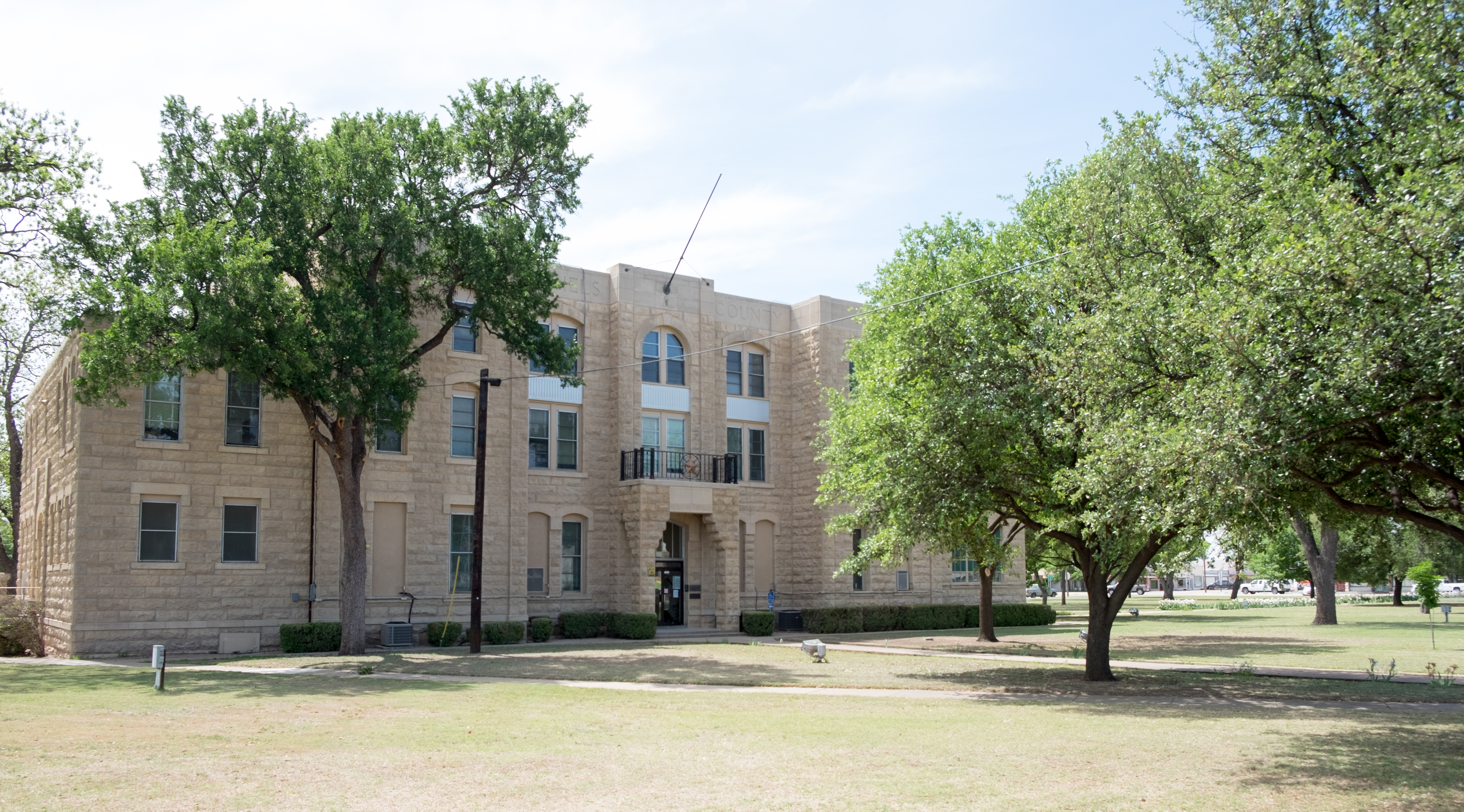
From San Angelo, to which I plan to return, I headed out northeast toward the town of Ballinger, seat of Runnels county. Mostly agricultural country, leading to a small town with a very nice Italianate courthouse:
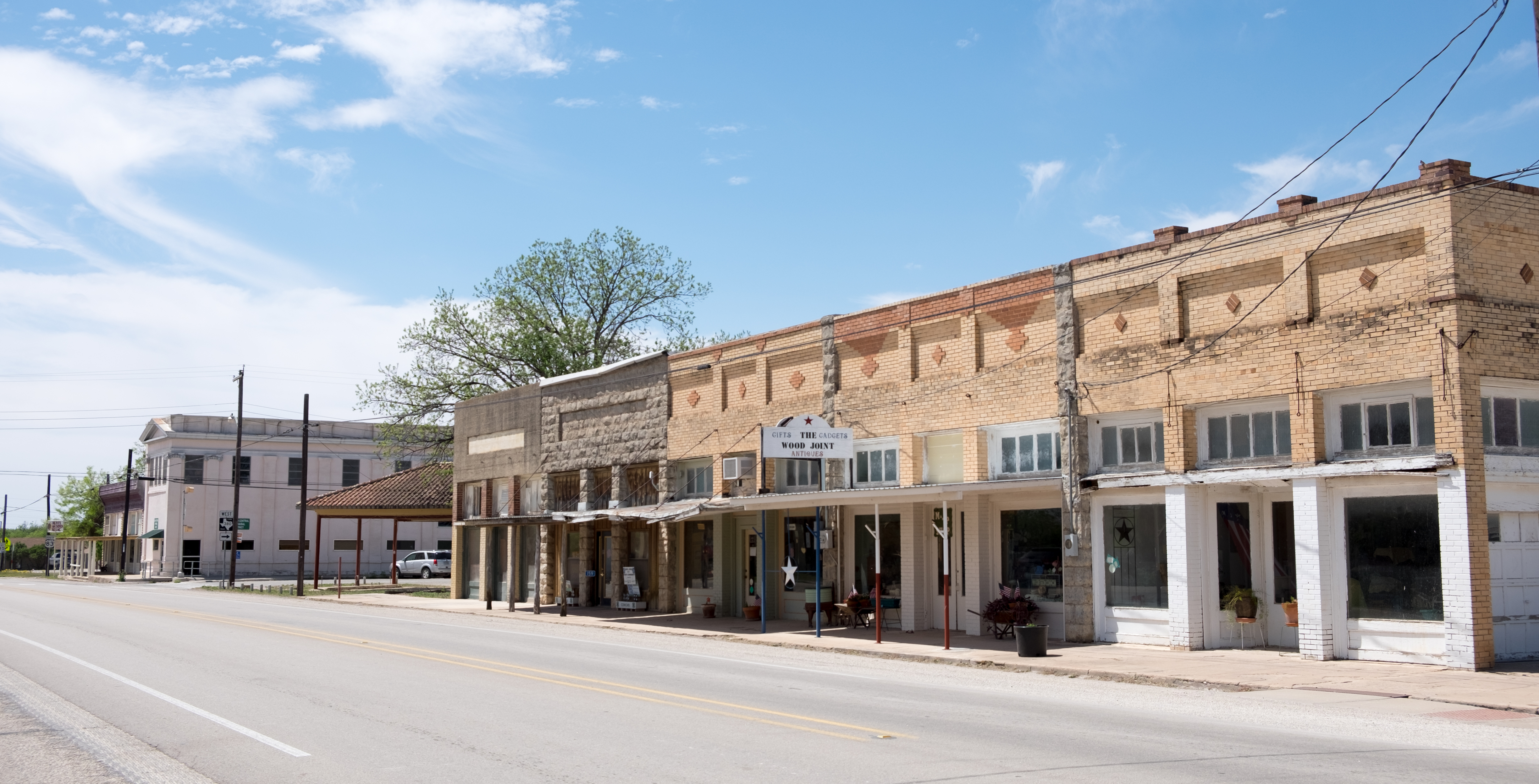
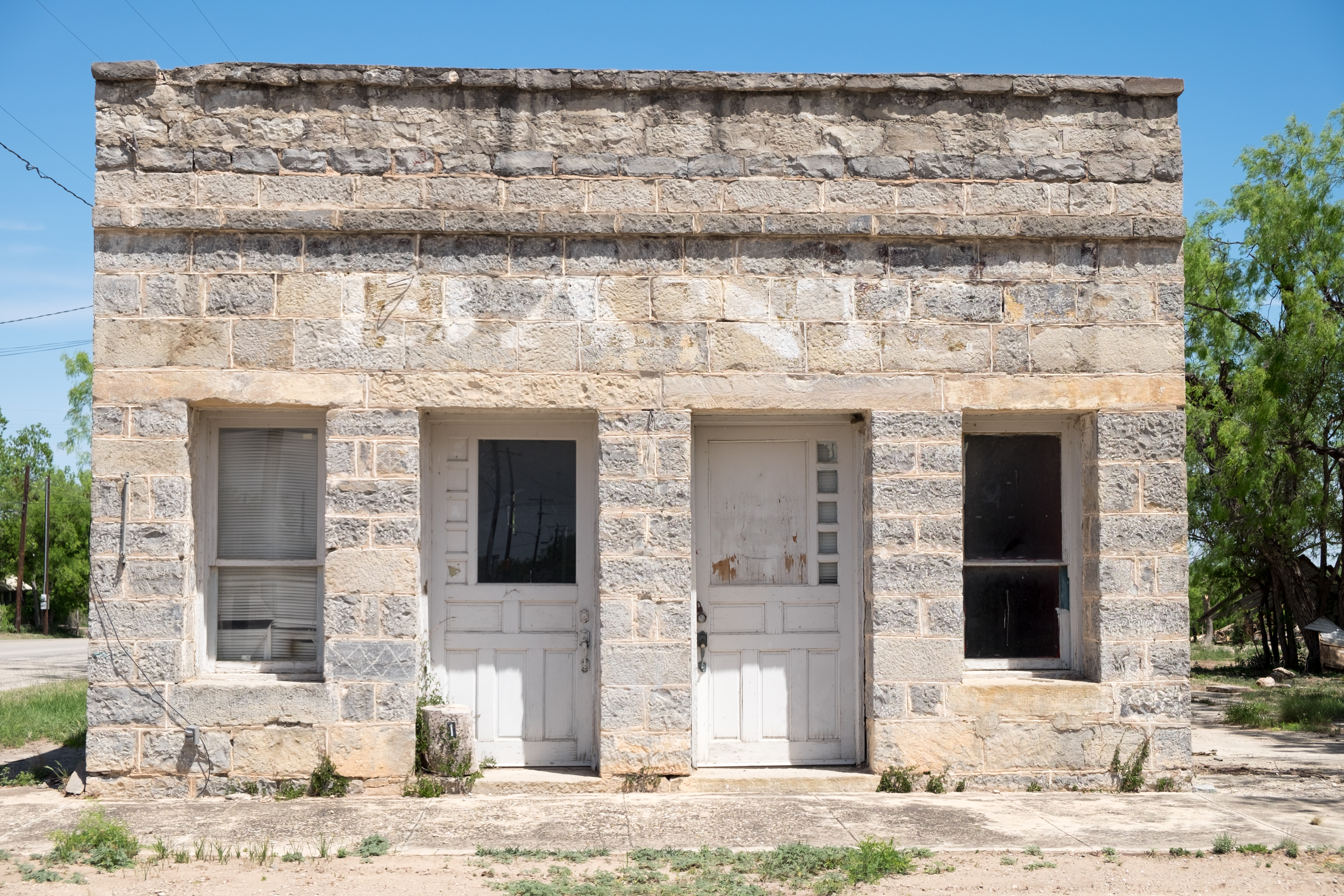
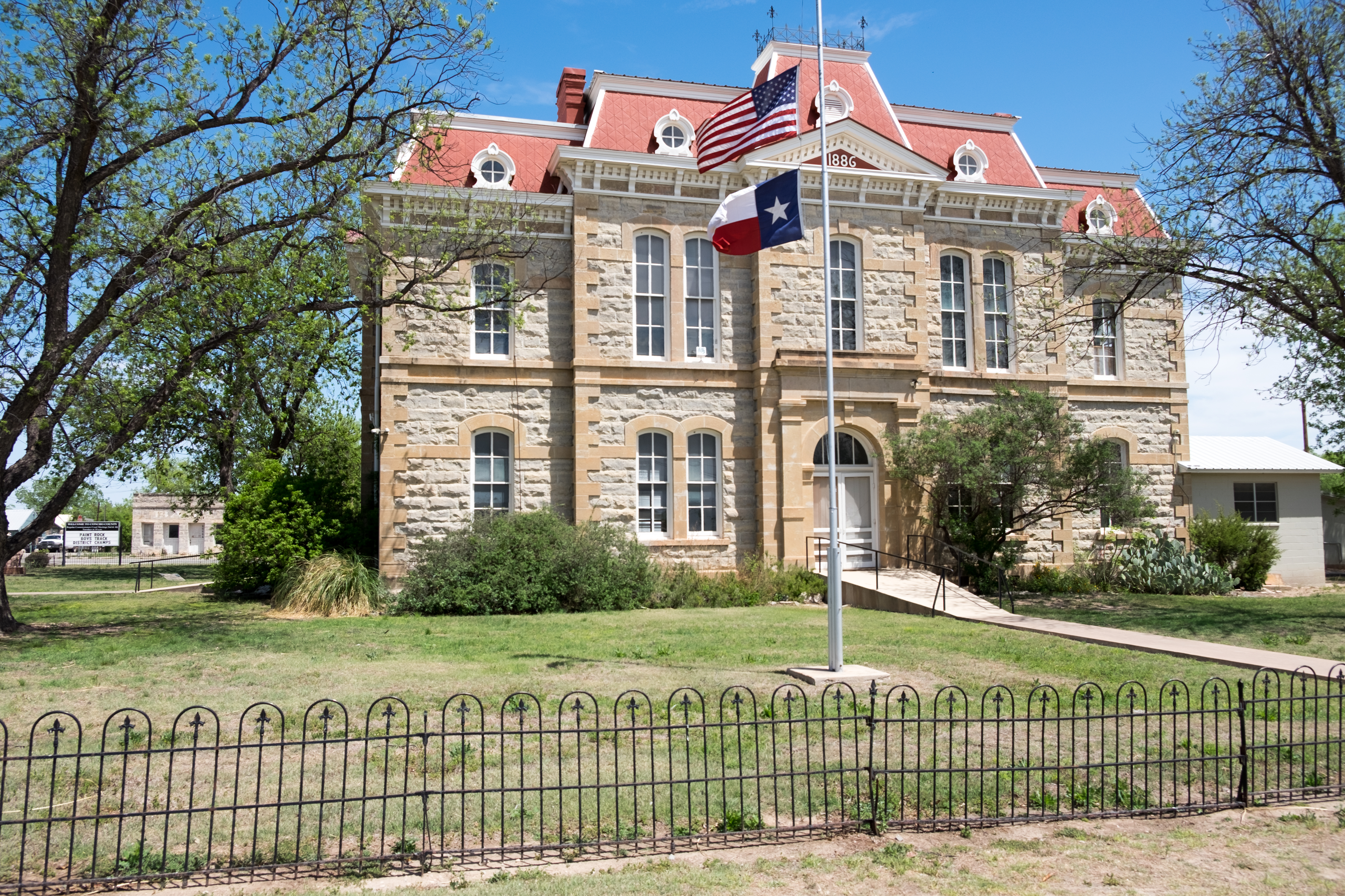
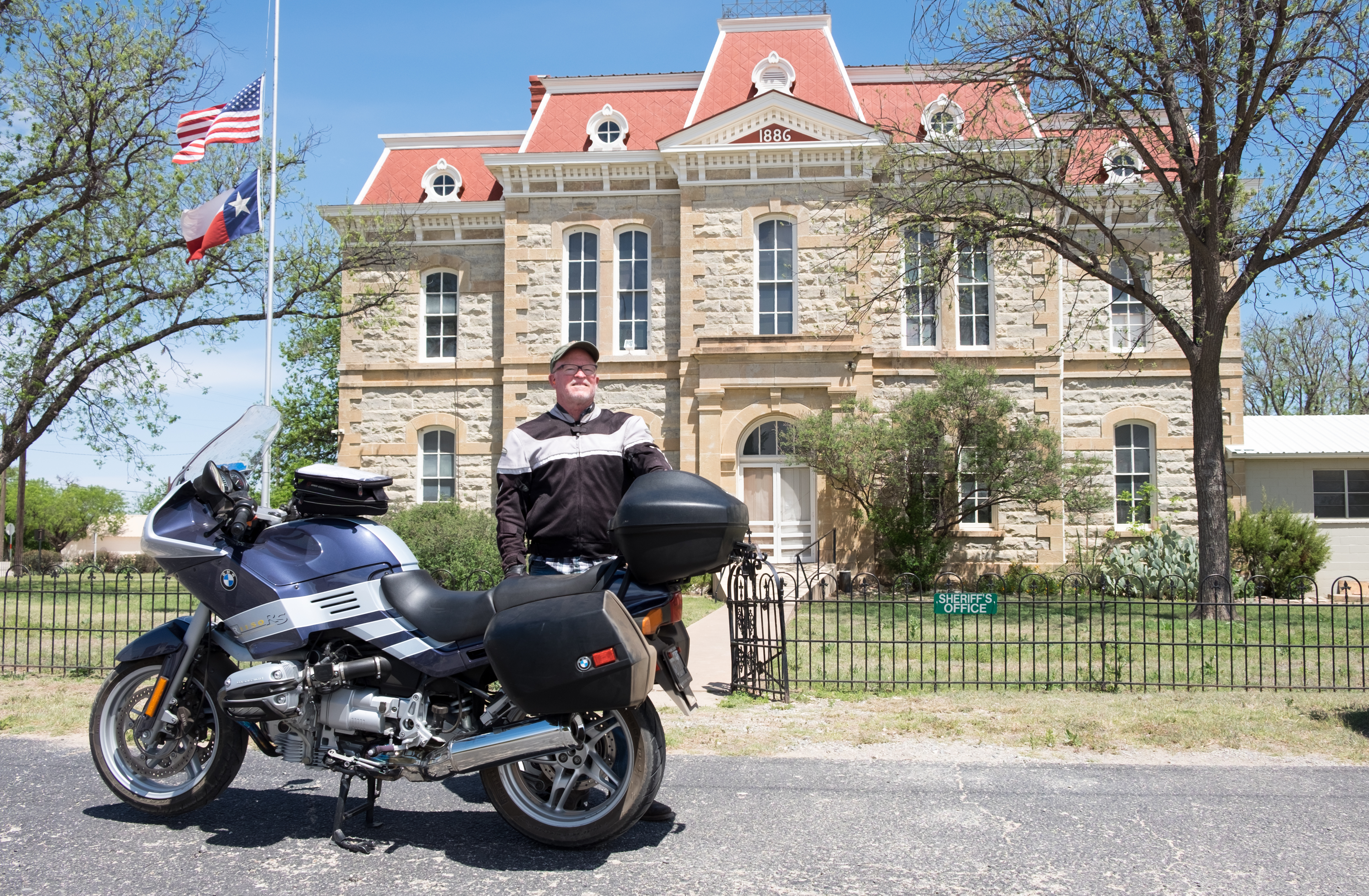
Last stop on this trip was Paint Rock, seat of Concho County. Like many of the previous counties on this trip, this area had known extensive occupation by Native American tribes – the Paint Rock for which the town is named is an artifact of that era.
Even though the town is practically a ghost town, the courthouse is gorgeous.
From Paint Rock, a few hours south to Wimberley and home.
This trip added another 1,713 miles to the tally, and brought the total number of counties visited to 125 – just short of halfway!
S.
