One of the nice things about staying in a decent hotel, such as the Holiday Inn Express, is that there is a great breakfast at the ready, so you can take off at first light with the knowledge that you won’t have to go through the undress-redress routine at some breakfast joint on the road. (Remember, it’s not a car – losing the gloves, the helmet, the jacket, the zippers, the snaps…it takes time, and if you are cold it takes a LOT more time…).
Here’s the day 4 itinerary:
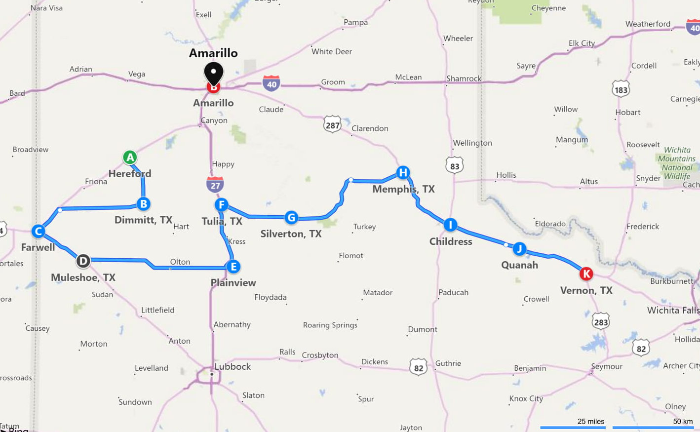
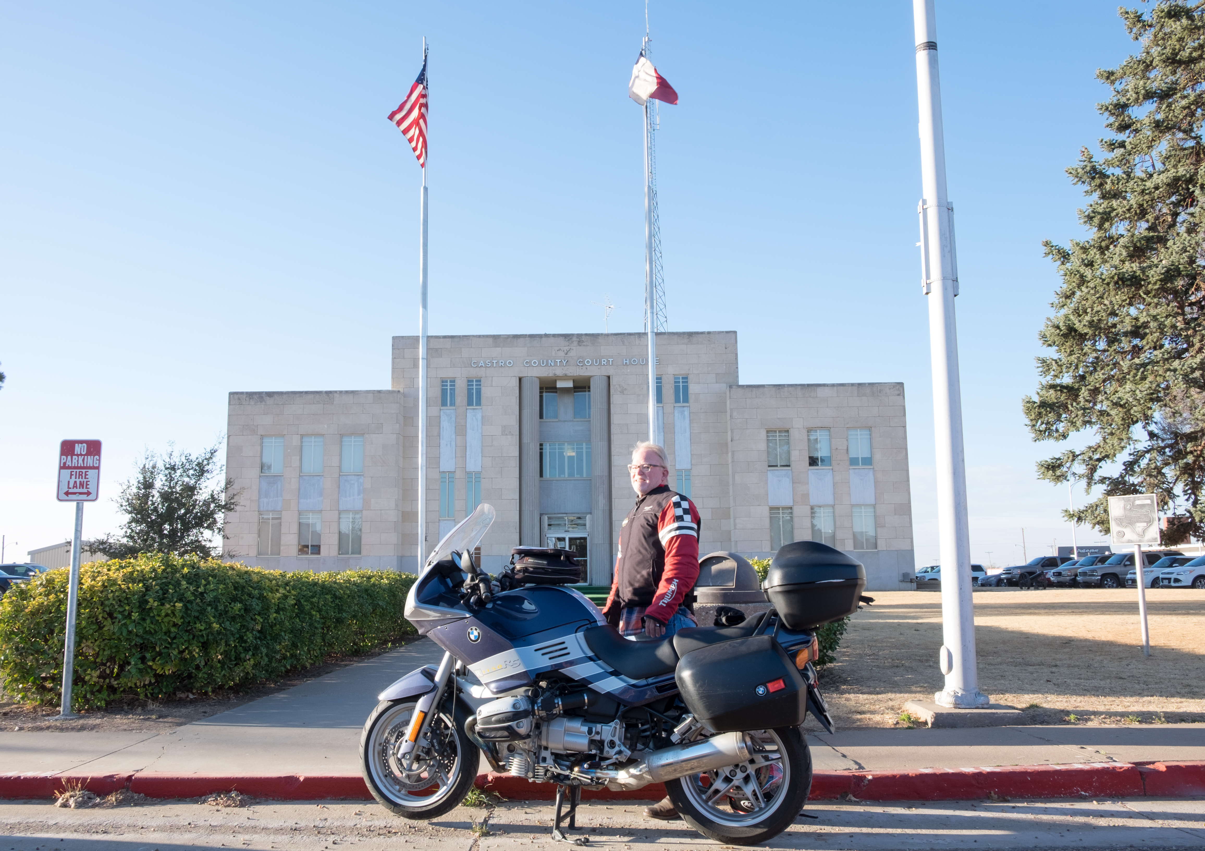
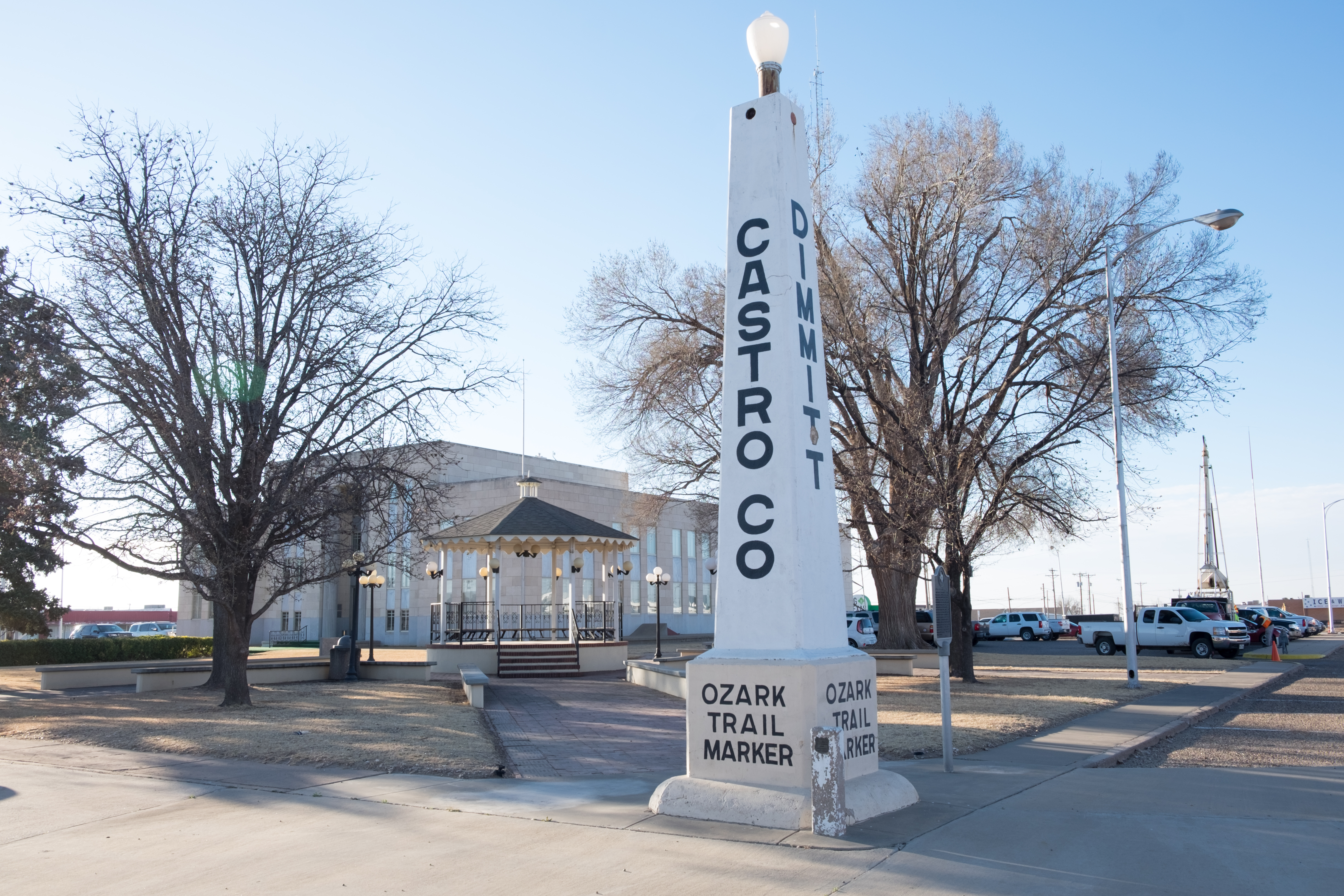
So stuffed with 2 omelettes and sausage, I headed due south from Hereford to Dimmitt, seat of Castro county. Over here on the western edge of the Panhandle you really become aware of what the economy here is based on: energy (oil and wind), cattle (dairy and beef), and agriculture. All three are prominent here on the west, but you get a real and vivid sense of how much the whole American – nay, global – way of life is based on the hard work of tough people living beyond the periphery of the consumption and bling-based prosperity that you see on TV – or, if you live in an urban area and have a job, that you actually live.
The food chain actually begins – literally – out in places like the western Panhandle. The version of the “good life” out here is a hot, dusty, windy, isolated one. If you were born here, it would not be so easy to go elsewhere. It’s lucky that so many stay, because the good life we enjoy in urban areas, or retirement communities, is 100% founded on what comes out of places like these.
Anyway…on to Dimmitt.
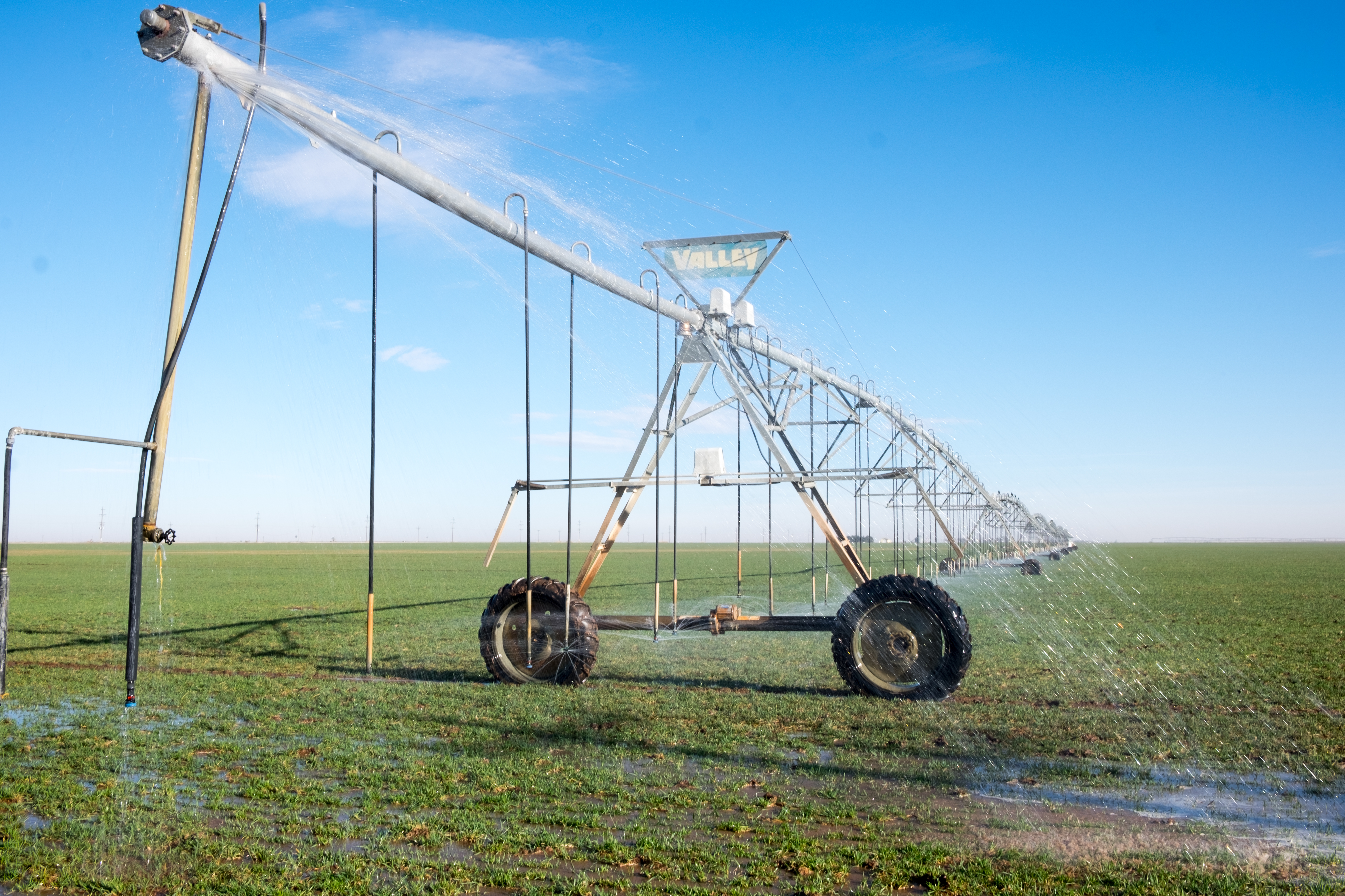
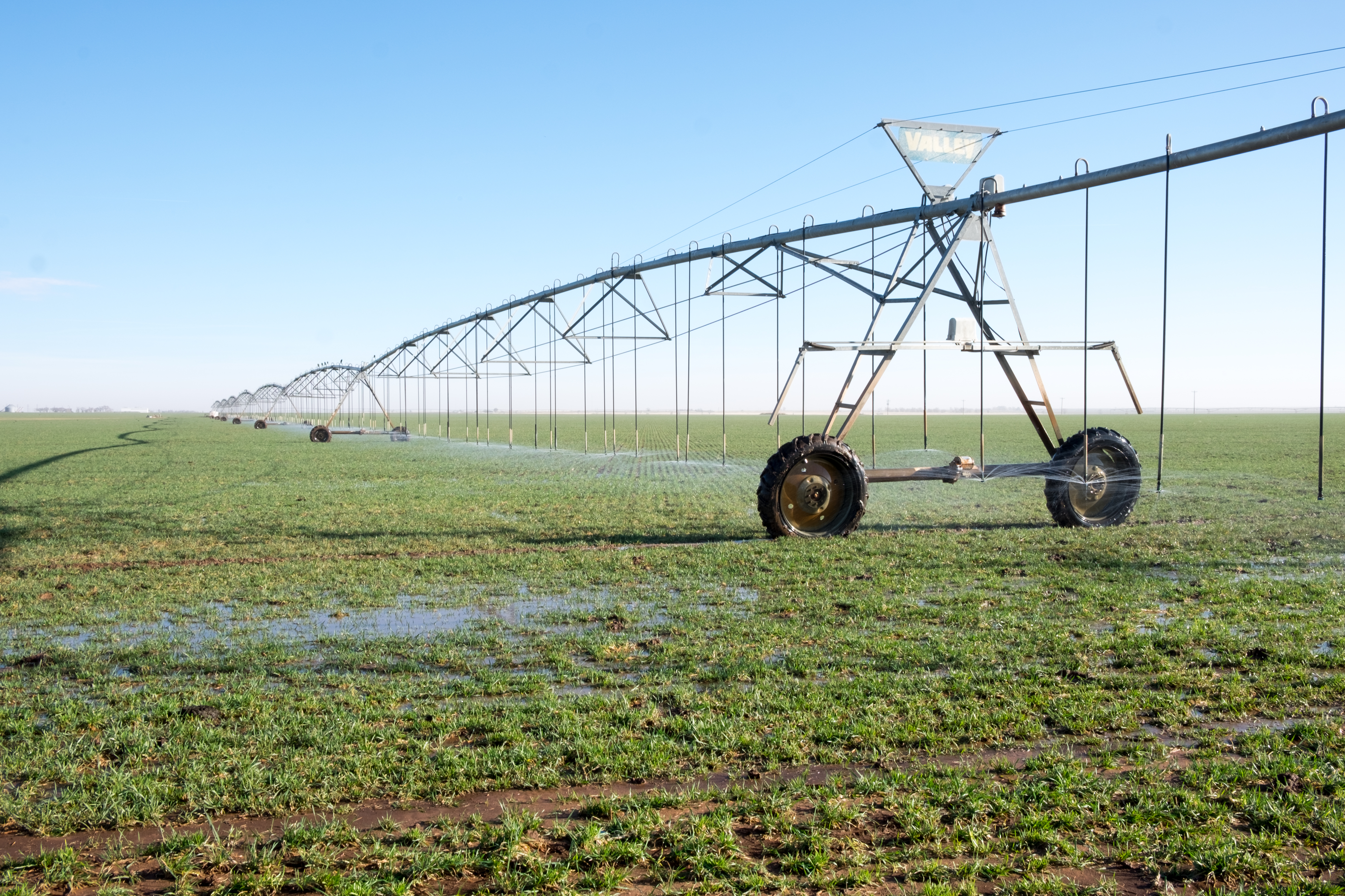
From Dimmitt, due west to the border with New Mexico and the town of Farwell. Along the way, the sights of big agriculture and big livestock. Vast fields of cotton, corn, peanuts, hay (to feed cattle) and wheat are made possible through these enormous sprinkler systems that slowly move around in a circle, spewing water and liquified fertilizer.
And then, near the aptly-named town of Bovina, the city-sized commercial livestock world, larger than anything I’ve ever imagined.
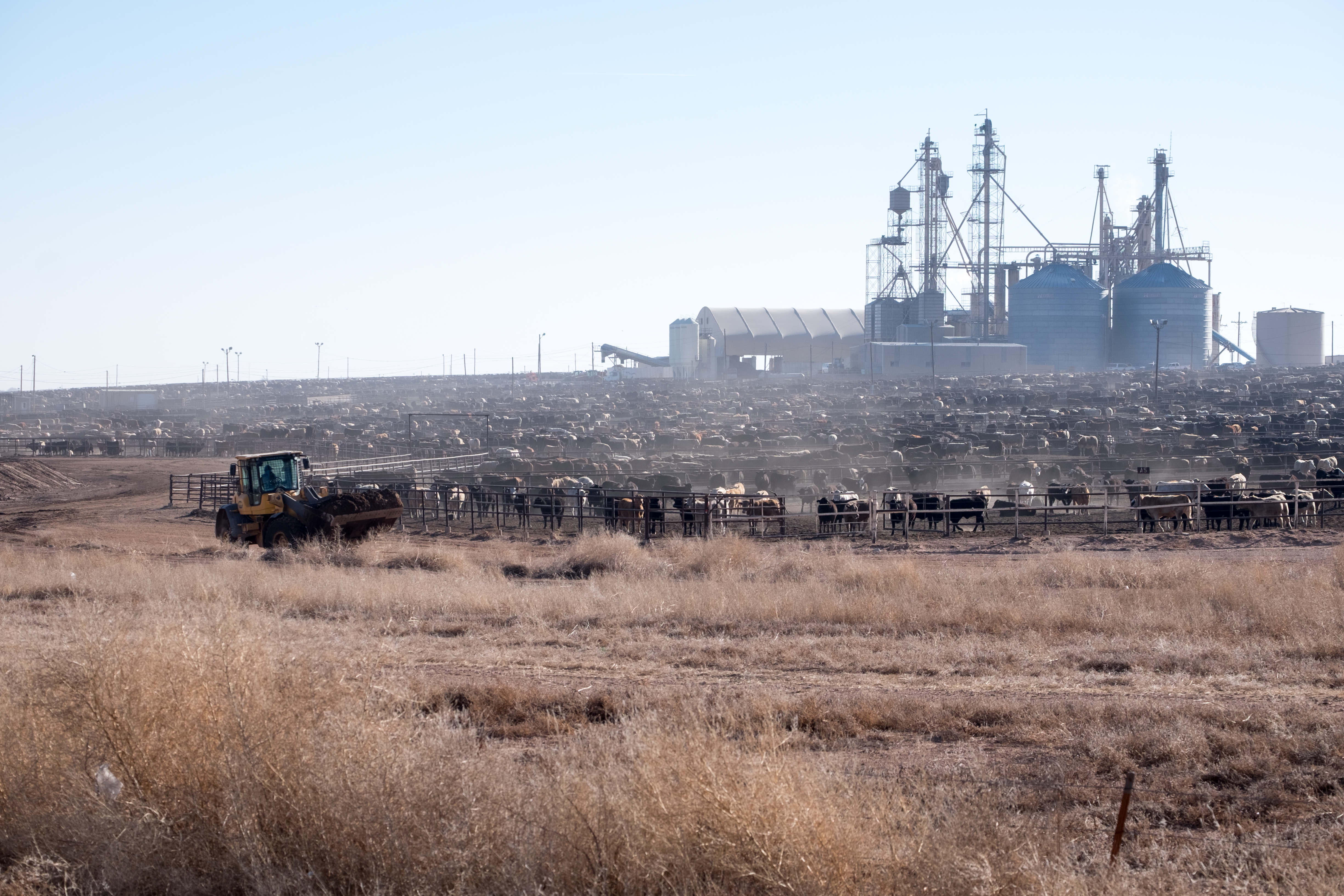
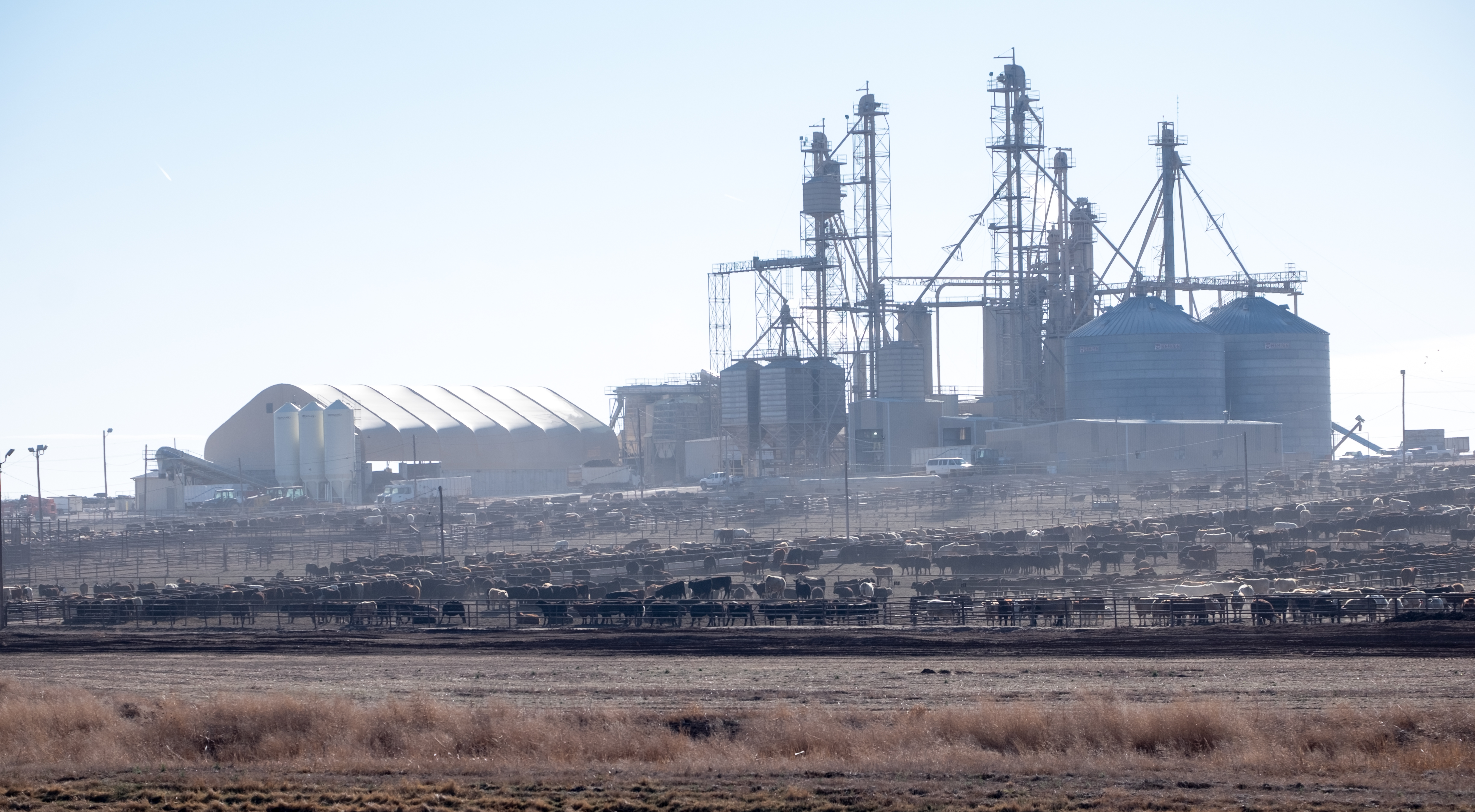
This is the beginning of the road to the meat counter at your local grocery store. I again consider going back to the vegetarian way of life, this is hard to see…
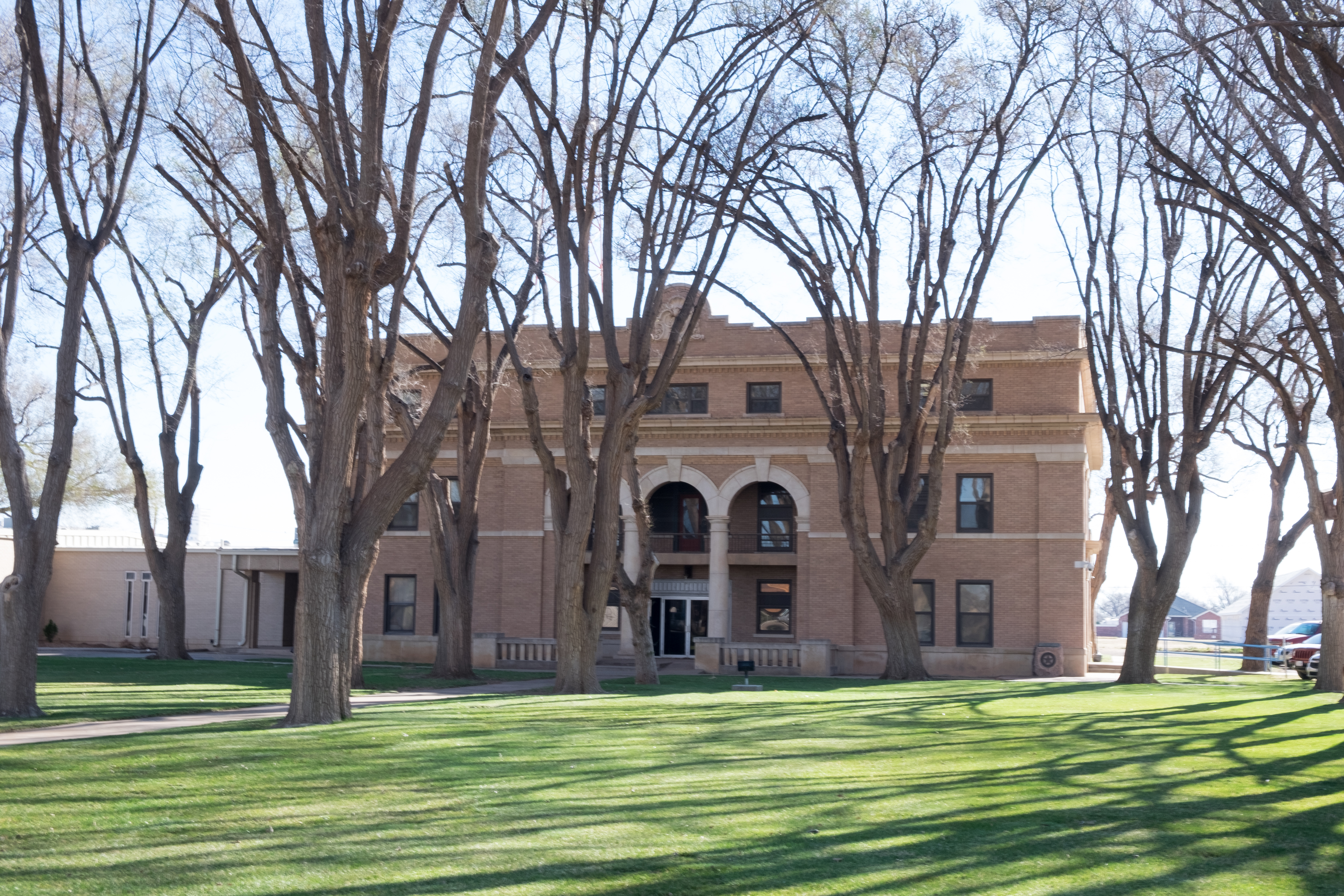
Once again, I had no expectations for any kind of positive surprise in Farwell, and once again I was very pleasantly surprised. (Instance number 10 million of the wisdom of having no expectations…)
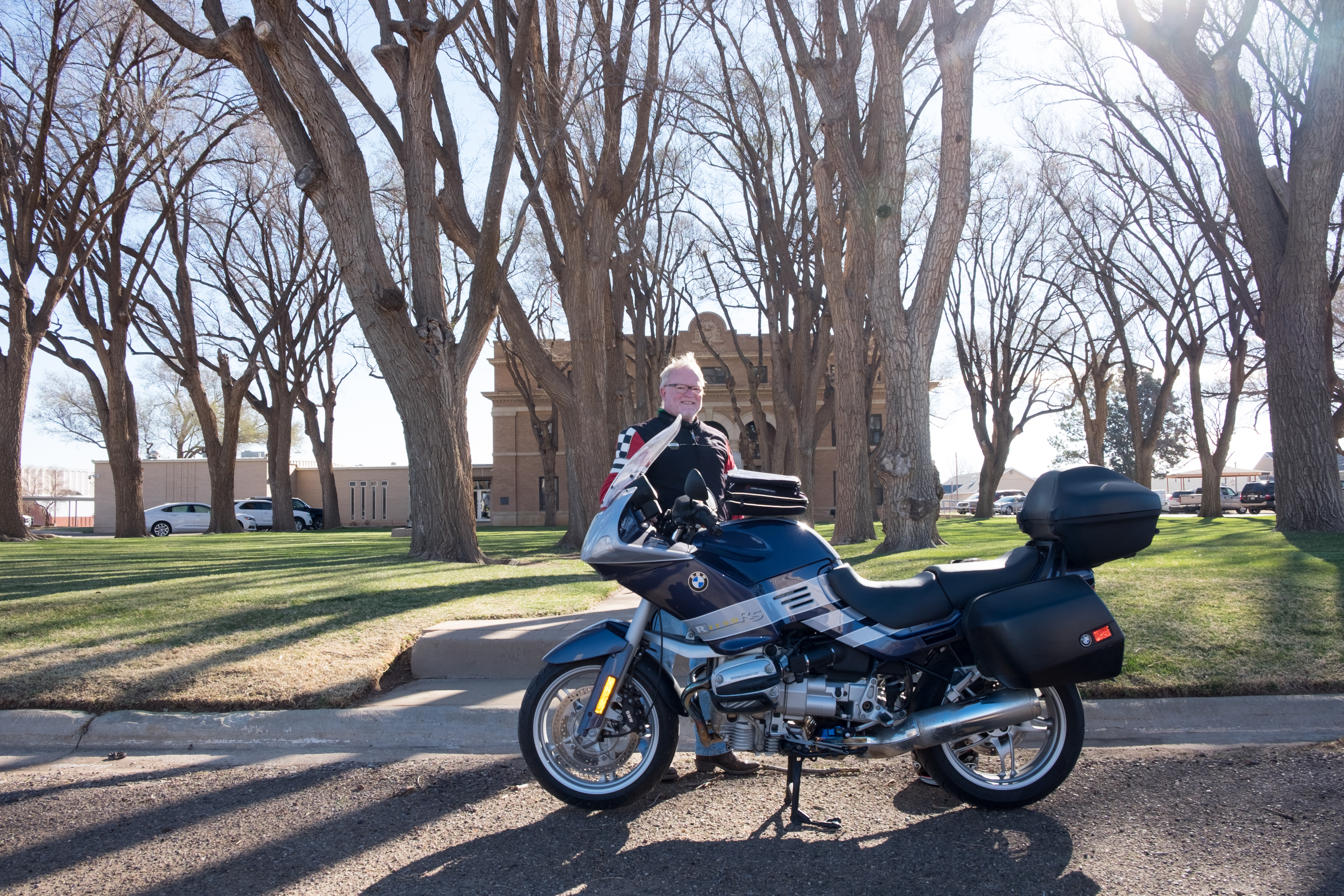
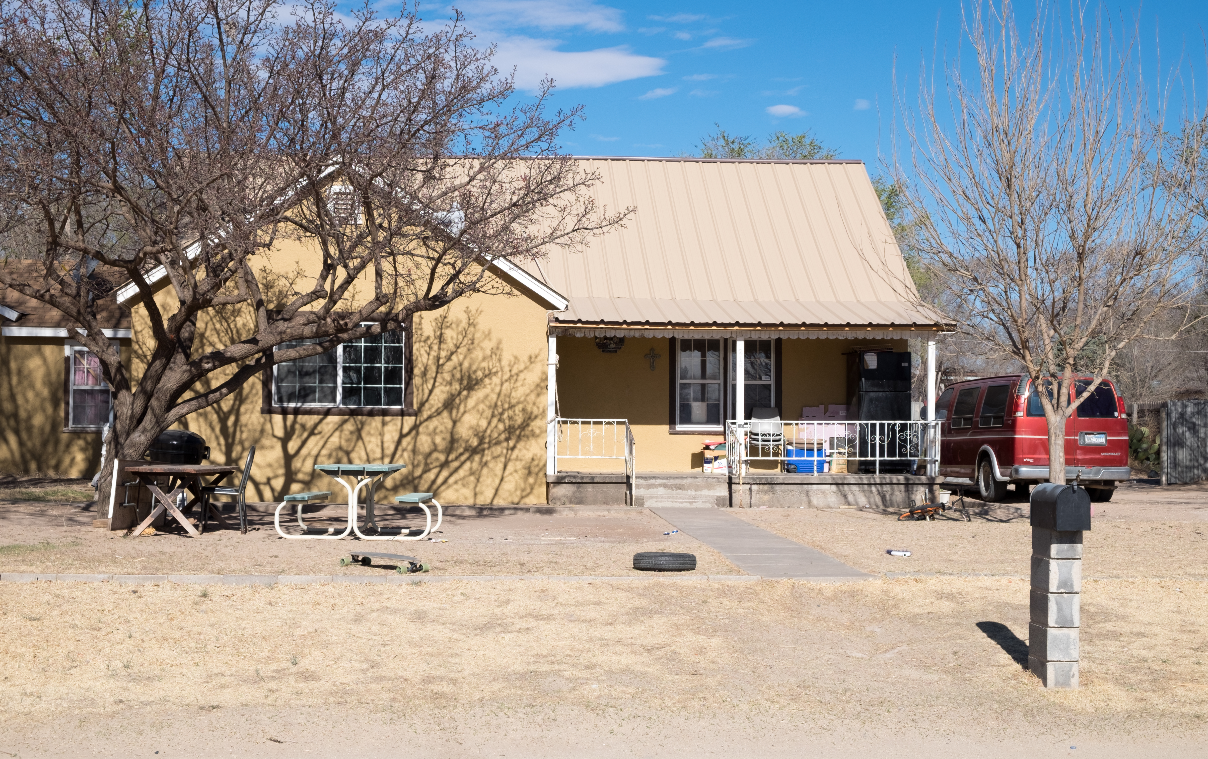
Farwell being at the extreme west of the Panhandle, we now turn back to the east – next stop, Muleshoe, a place I have romanticized my entire life. When I was a boy, entranced with imagery of the Wild West, and the southwest, I was a fan of a black-and-white TV program called Death Valley Days, sponsored by a product called 20 Mule Team Borax. I had no idea what borax was (still don’t), but somehow my convoluted little brain co-mingled images of Death Valley, mule teams, and the Texas town of Muleshoe. Actually Muleshoe is in the middle of the flat, high plains agro-cattle complex, and not in some “head ’em off at the pass” western fantasy. Reality will always come back to bite ya.
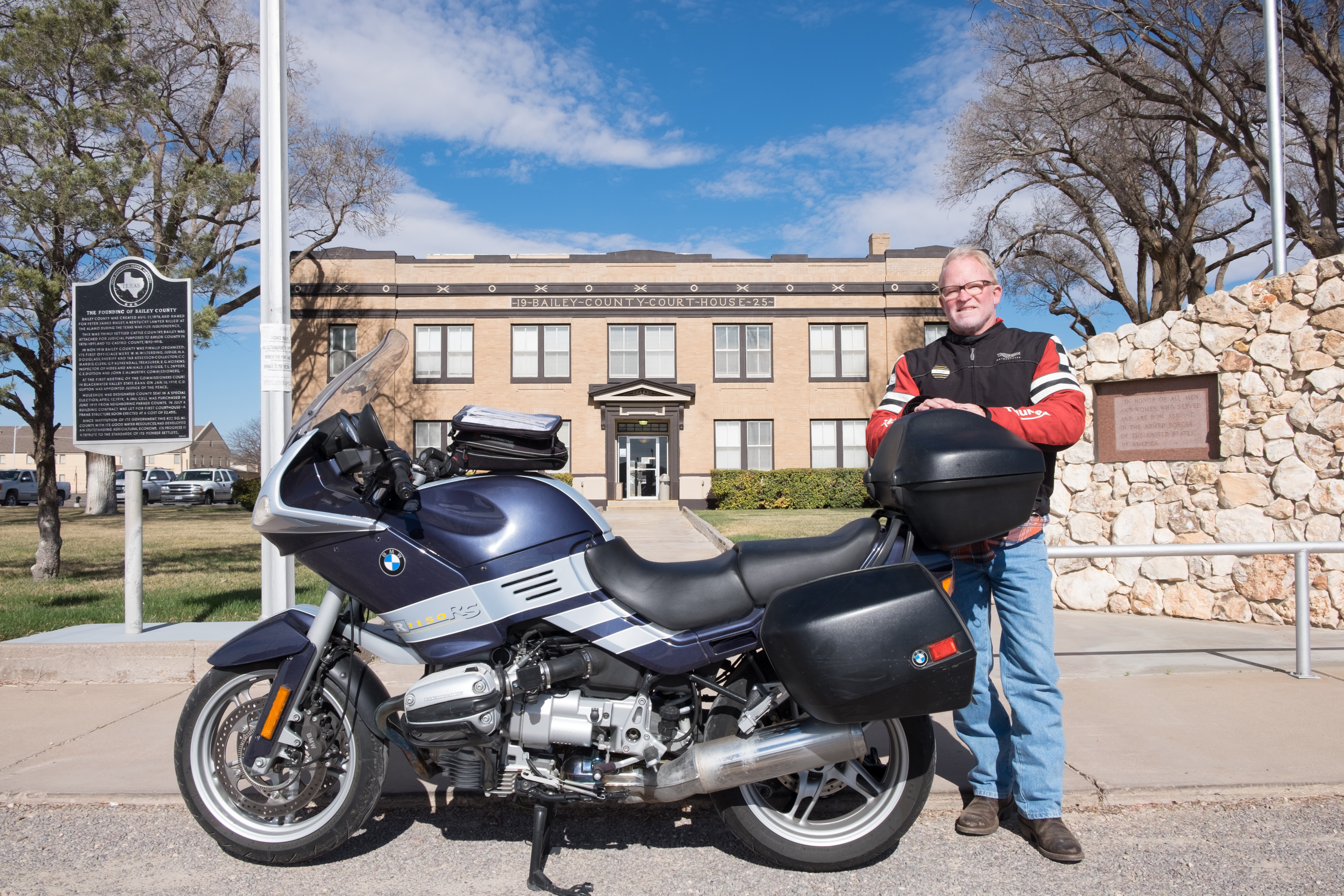
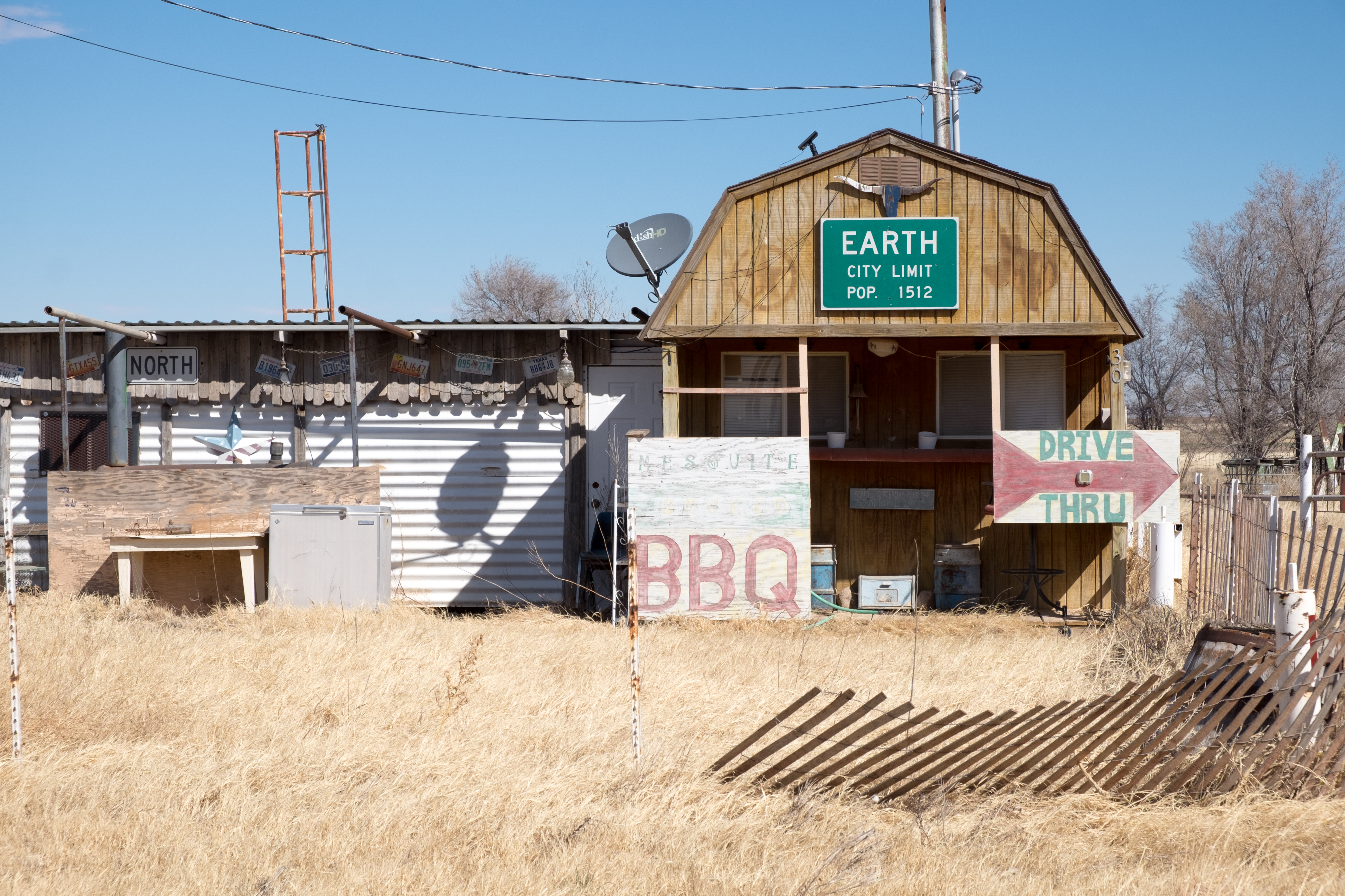
From Muleshoe followed a long windy haul to, eventually, Plainview. BUT, along the way, I passed through Earth:
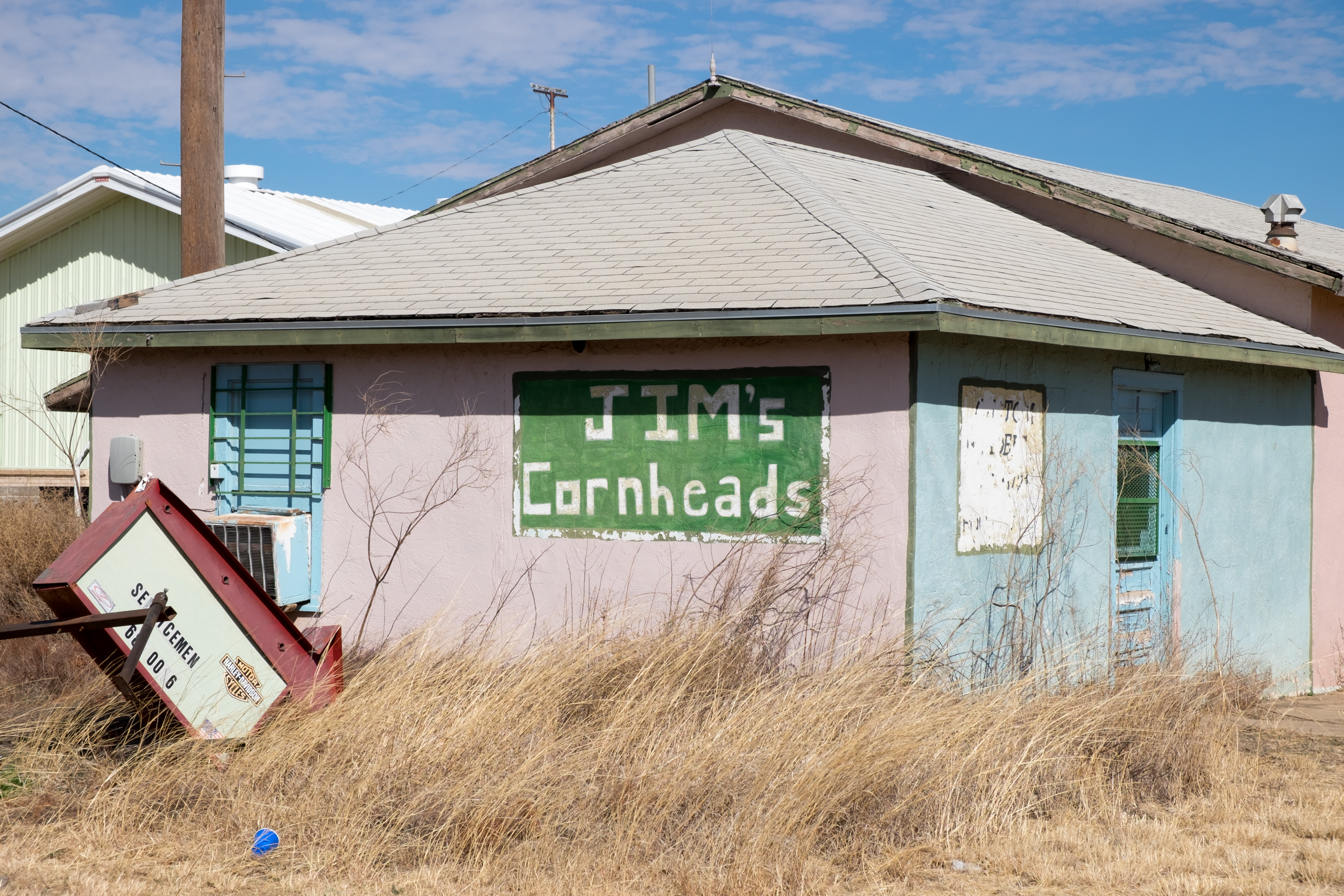
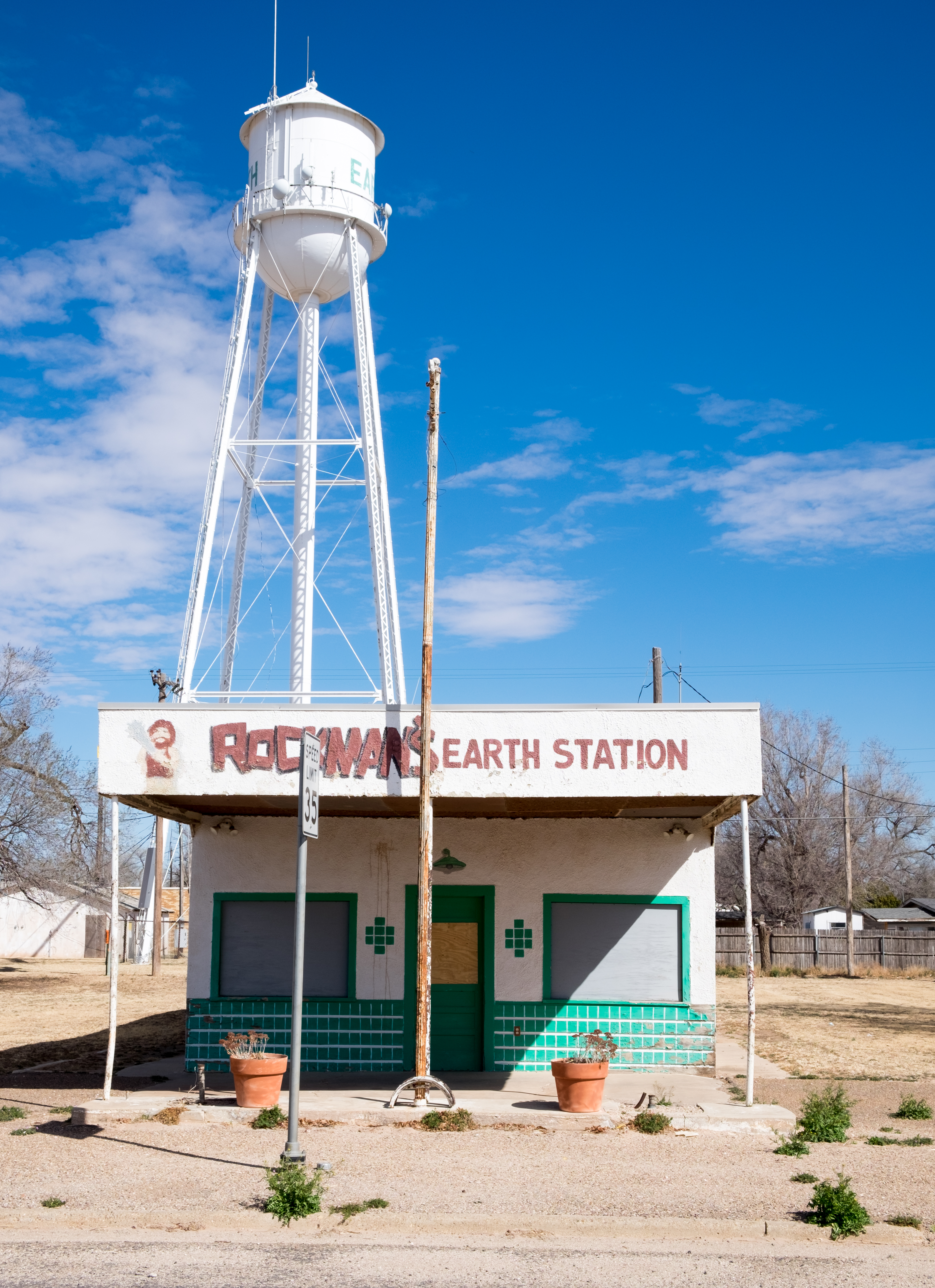
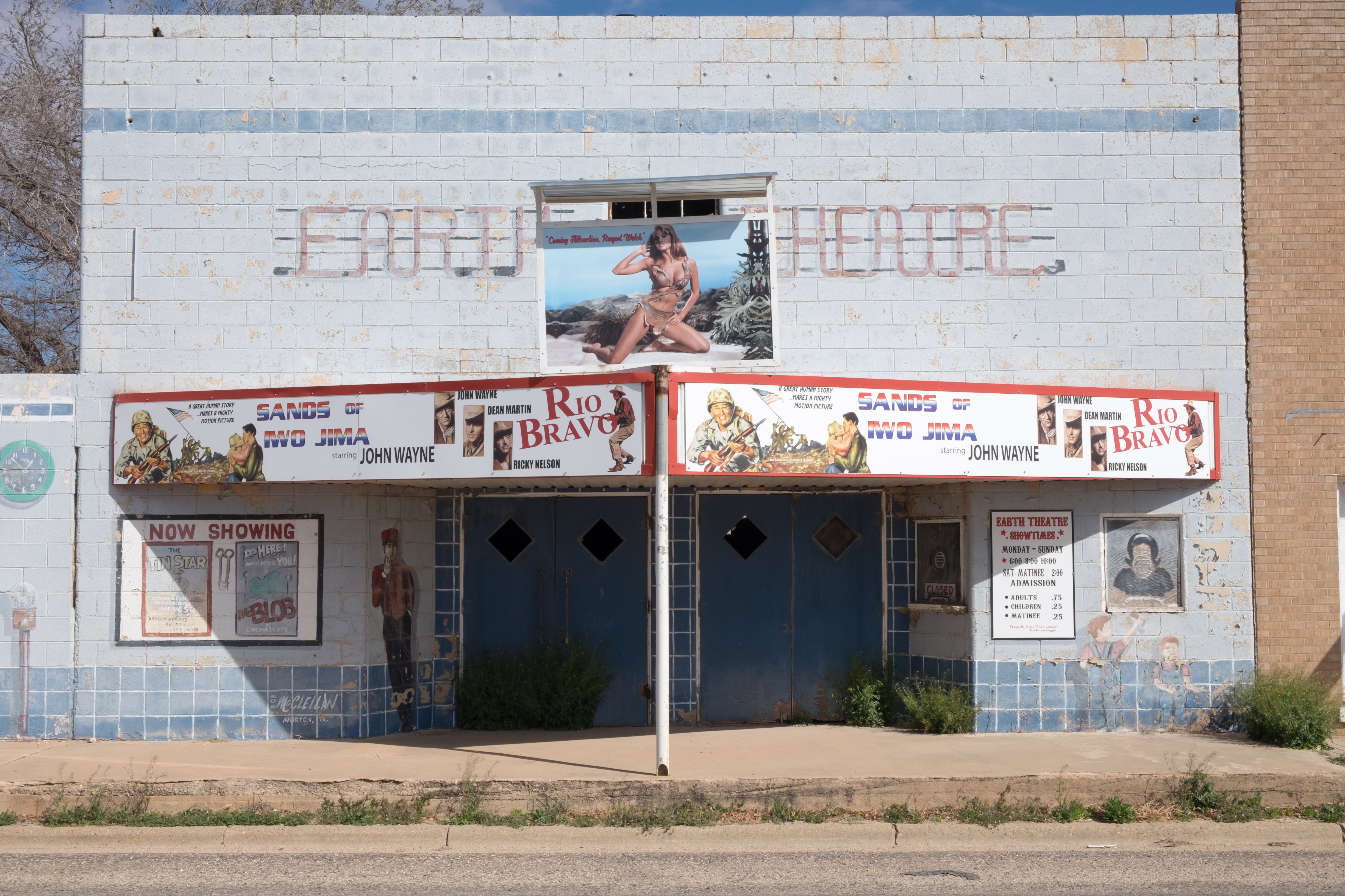
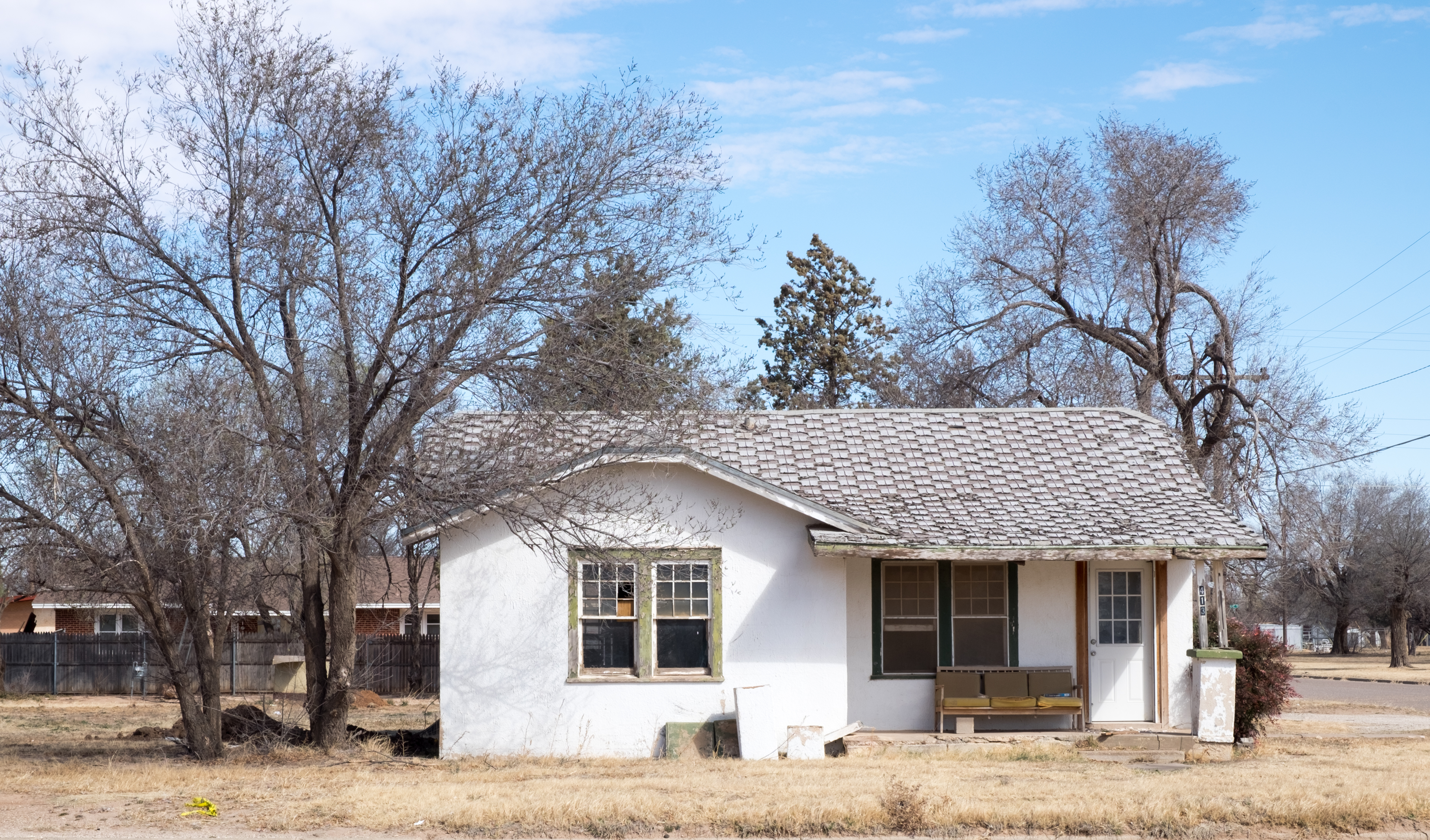
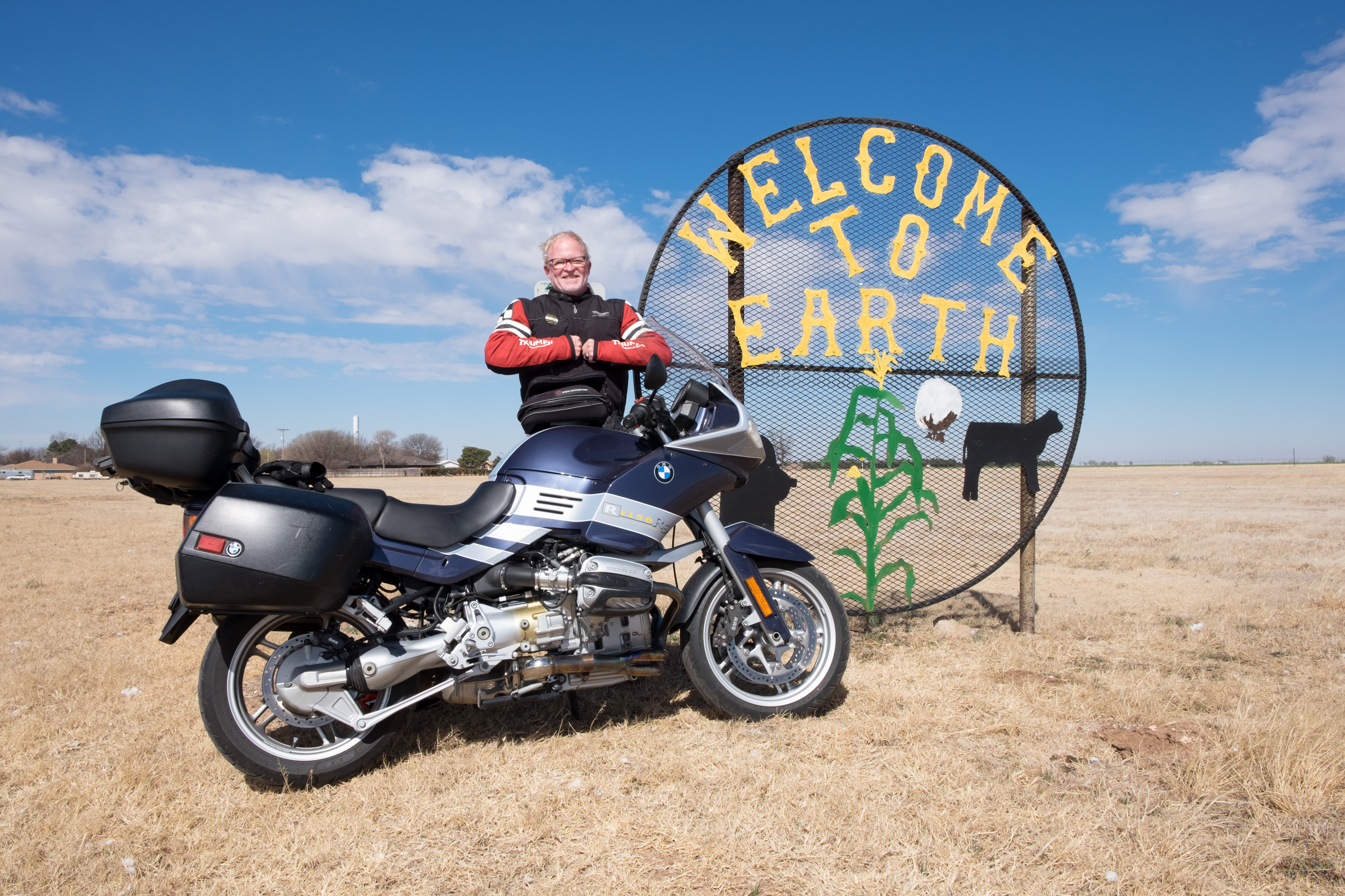
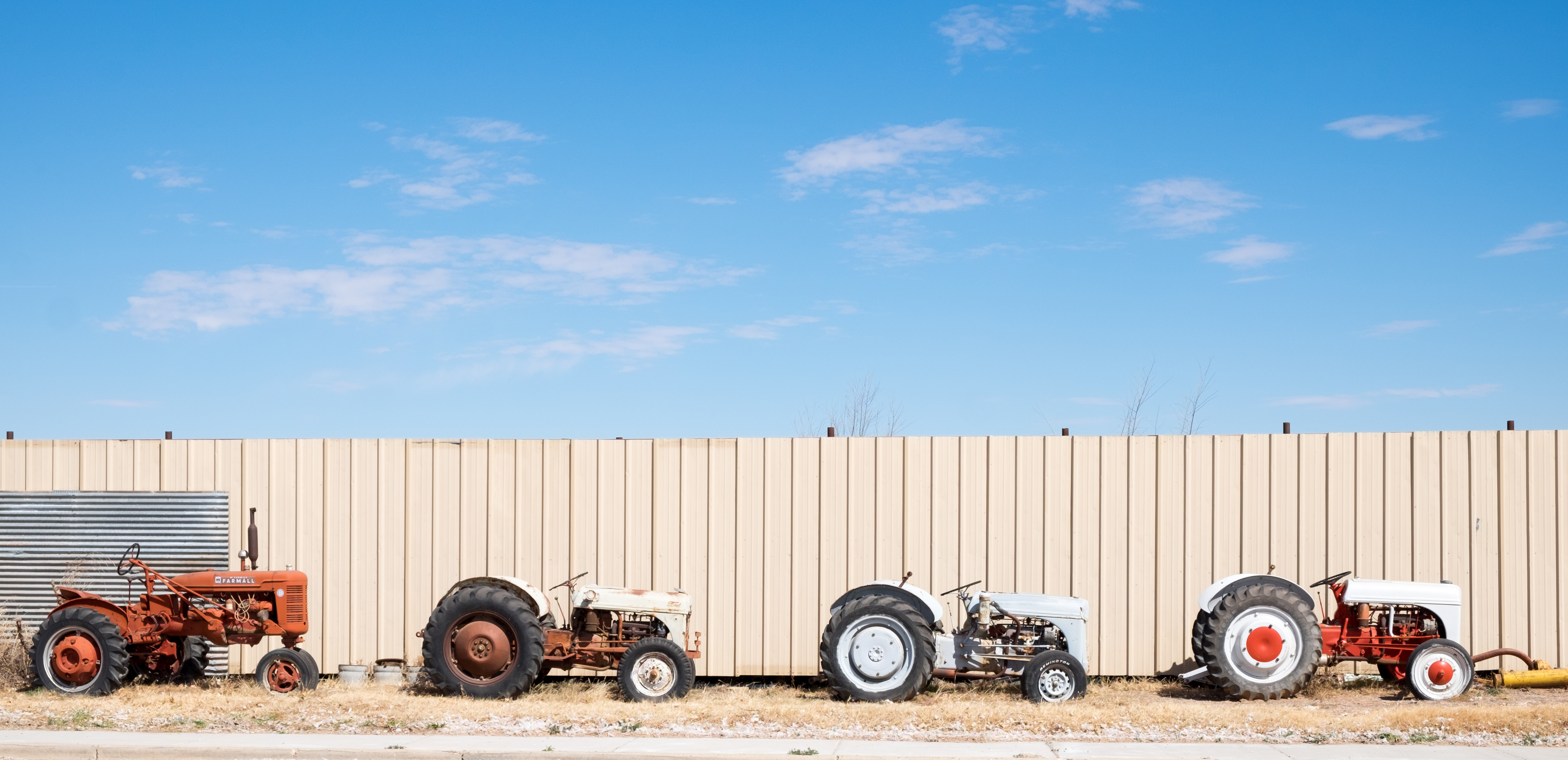
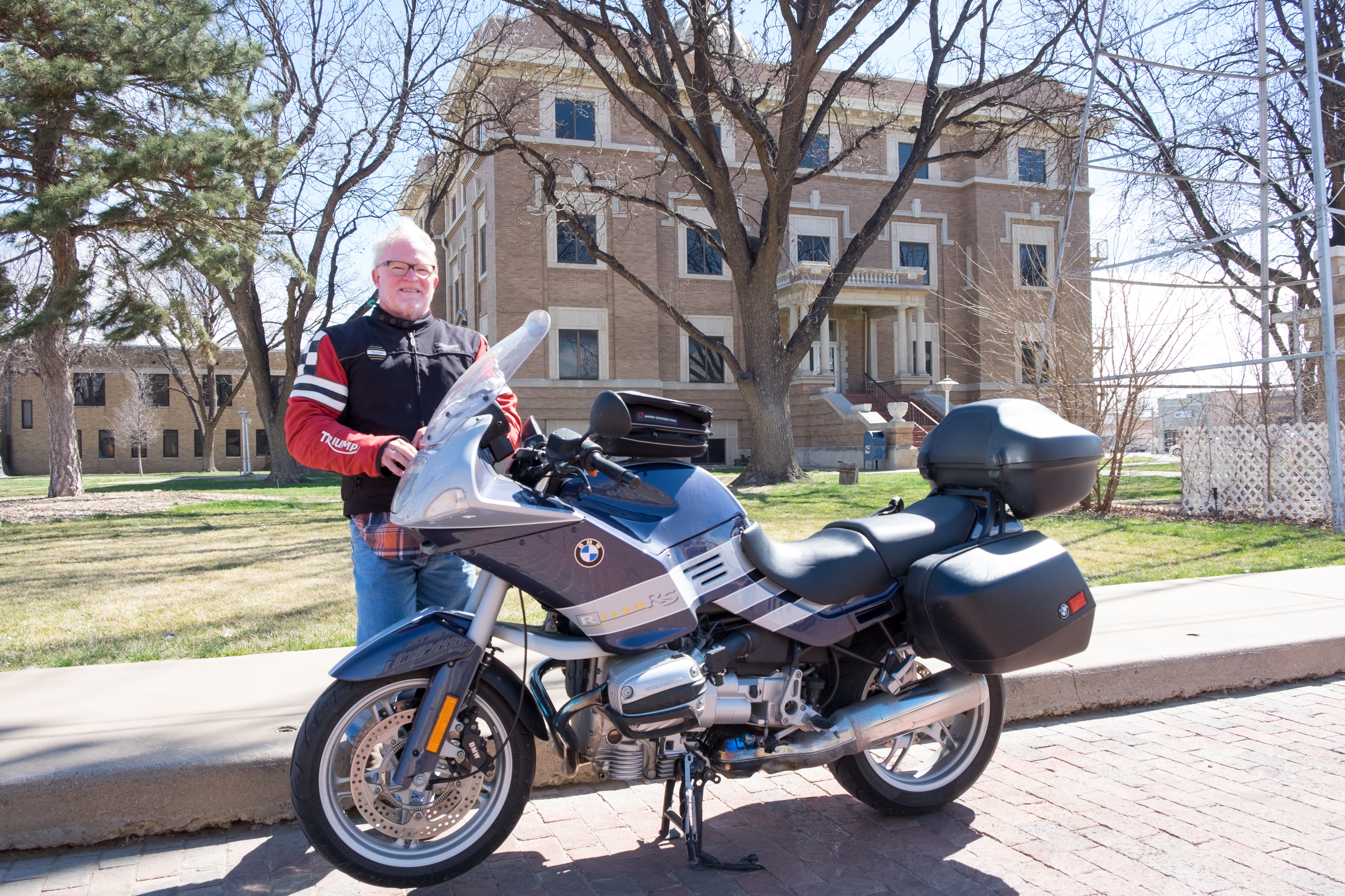
After amazing Earth, Plainview was just another town to get into and out of without mishap:
Plainview boasting an apparently defunct White’s. We had one in Spring Branch, Houston, where I grew up, and the adventure of the week was going there on Saturday with Dad to get auto parts (something always being broken down).
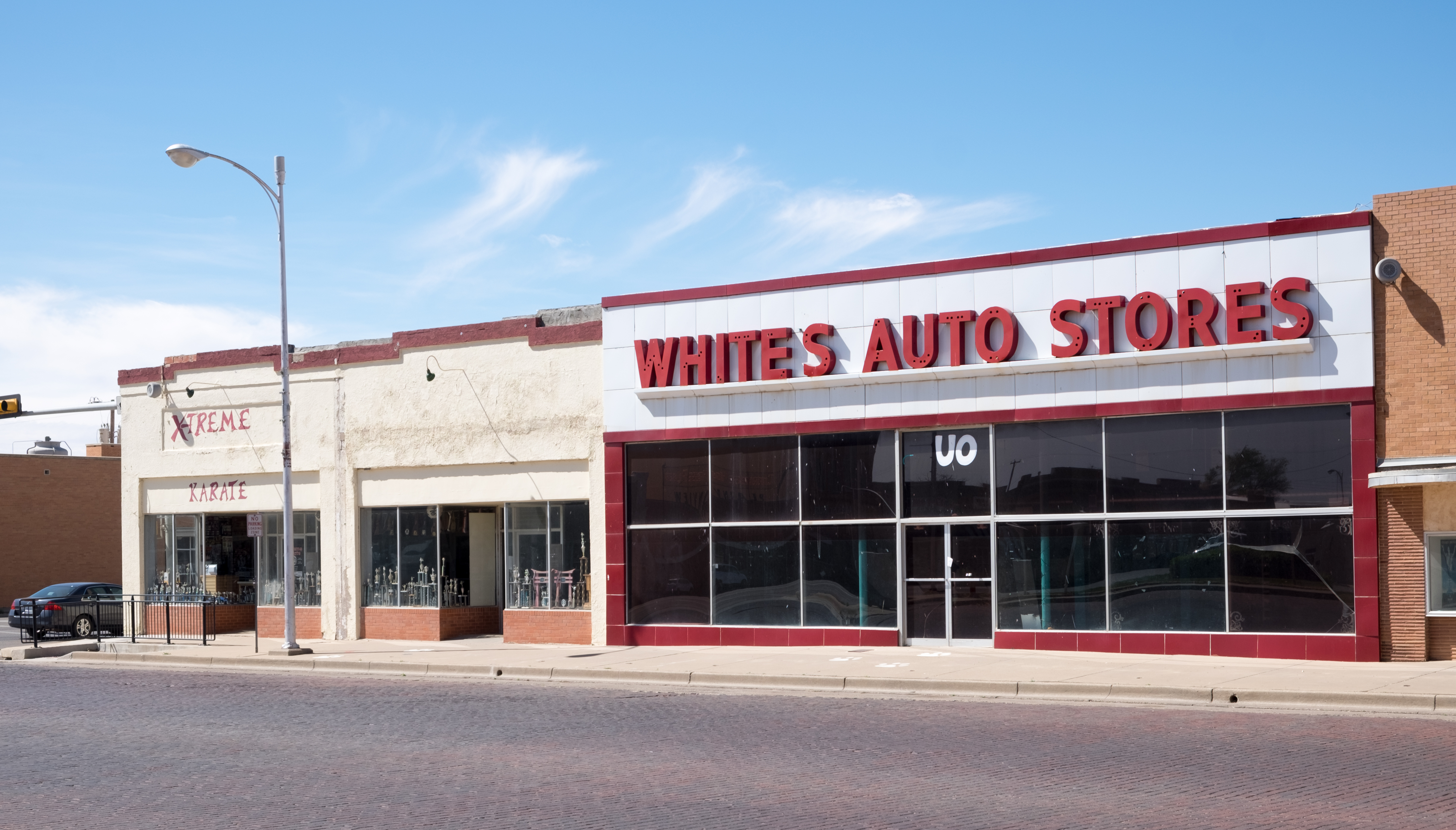
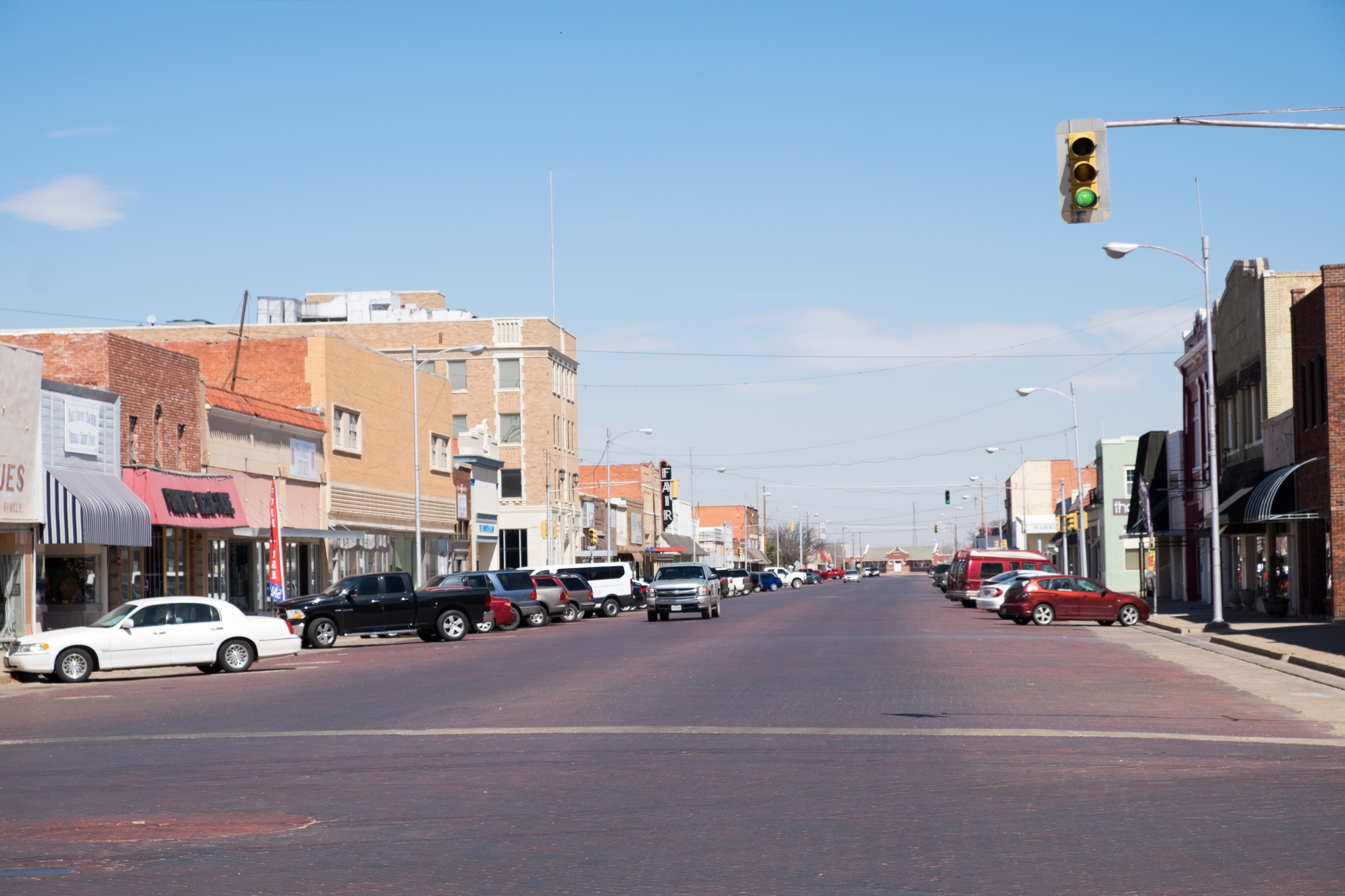
Plainview also boasts the obligatory red brick Main Street:
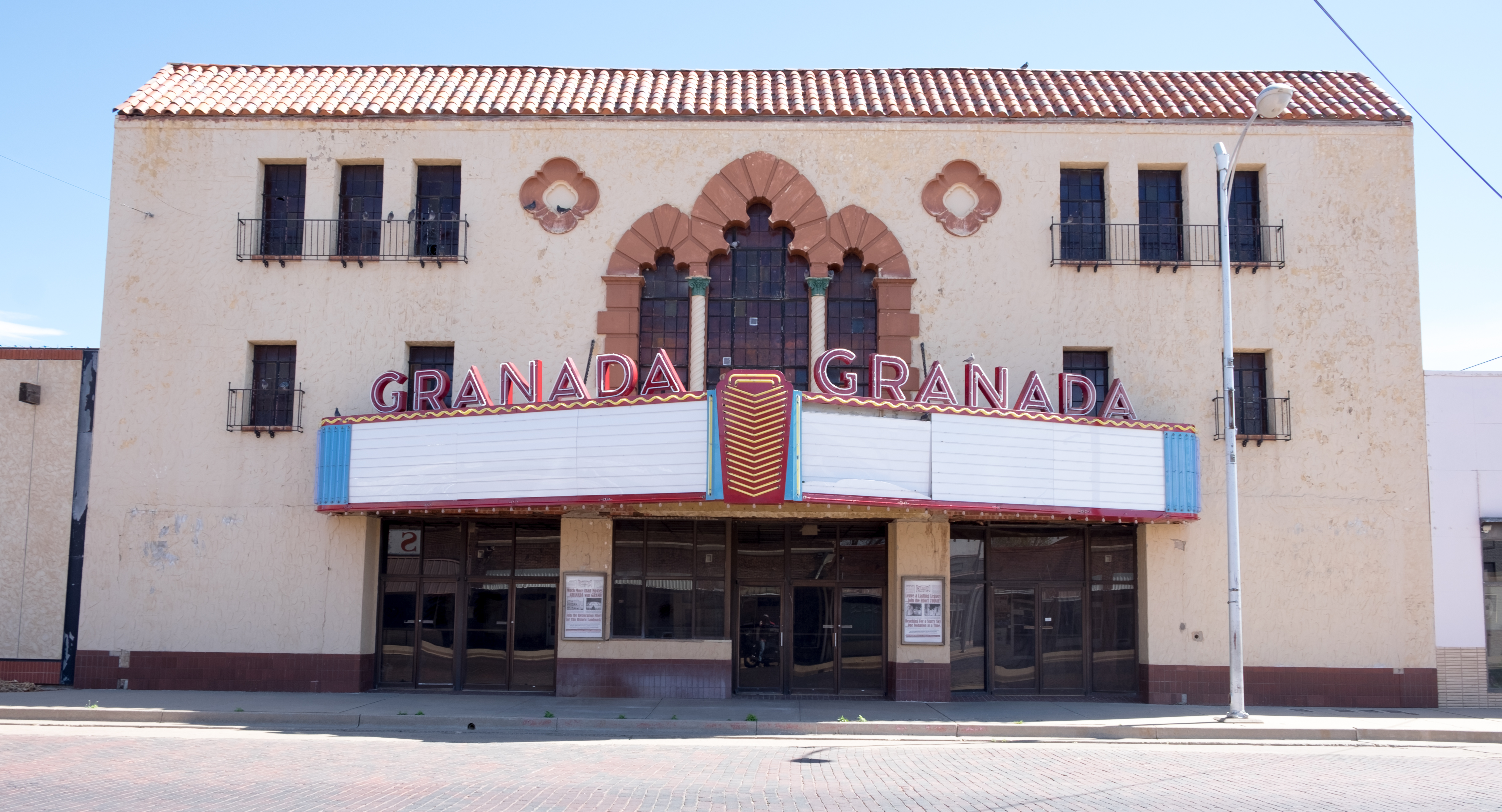
With it’s own movie theatre!
From Plainview, due north to Tulia, where I was expecting to find just a boring, bleak little I-27 wide stop in the road. Yet upon arrival, here’s the first thing I see:
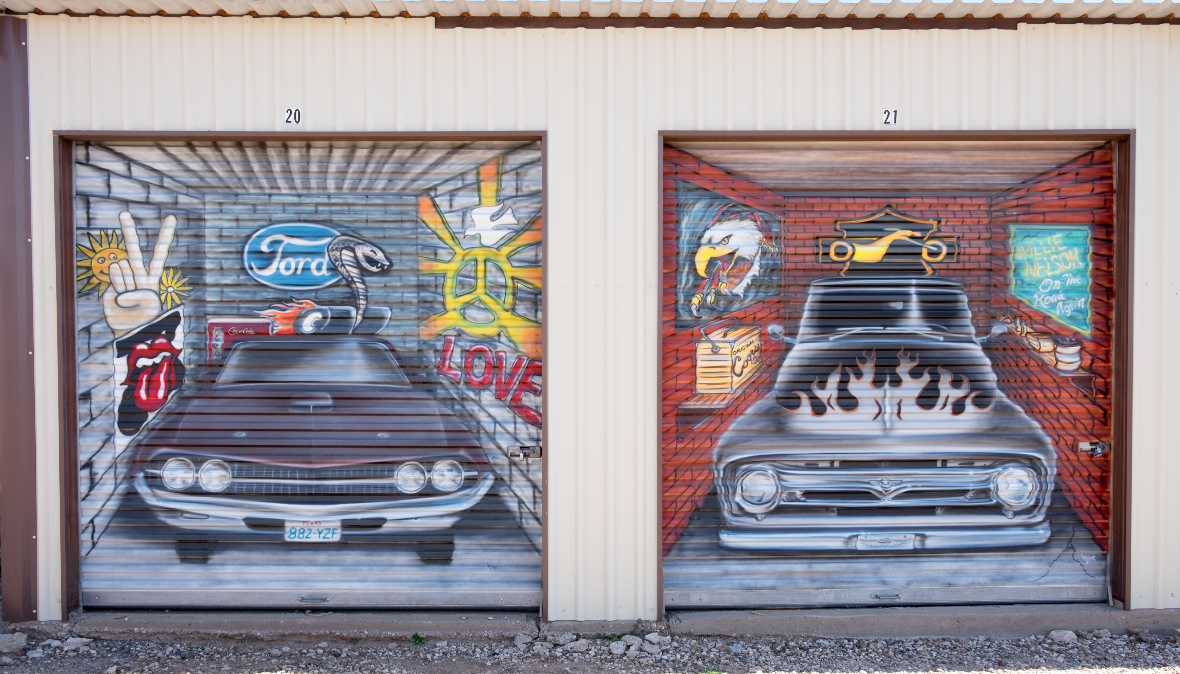
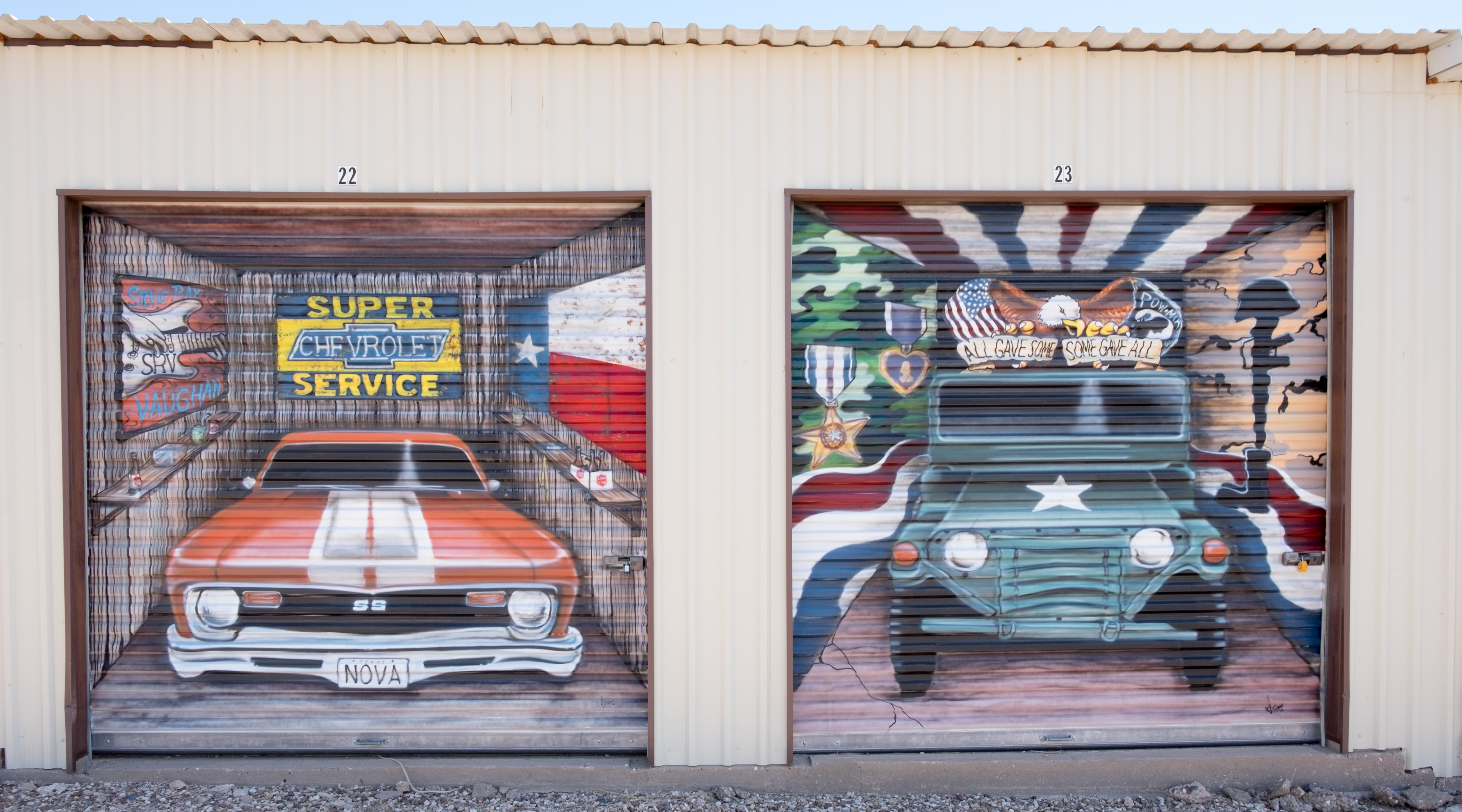
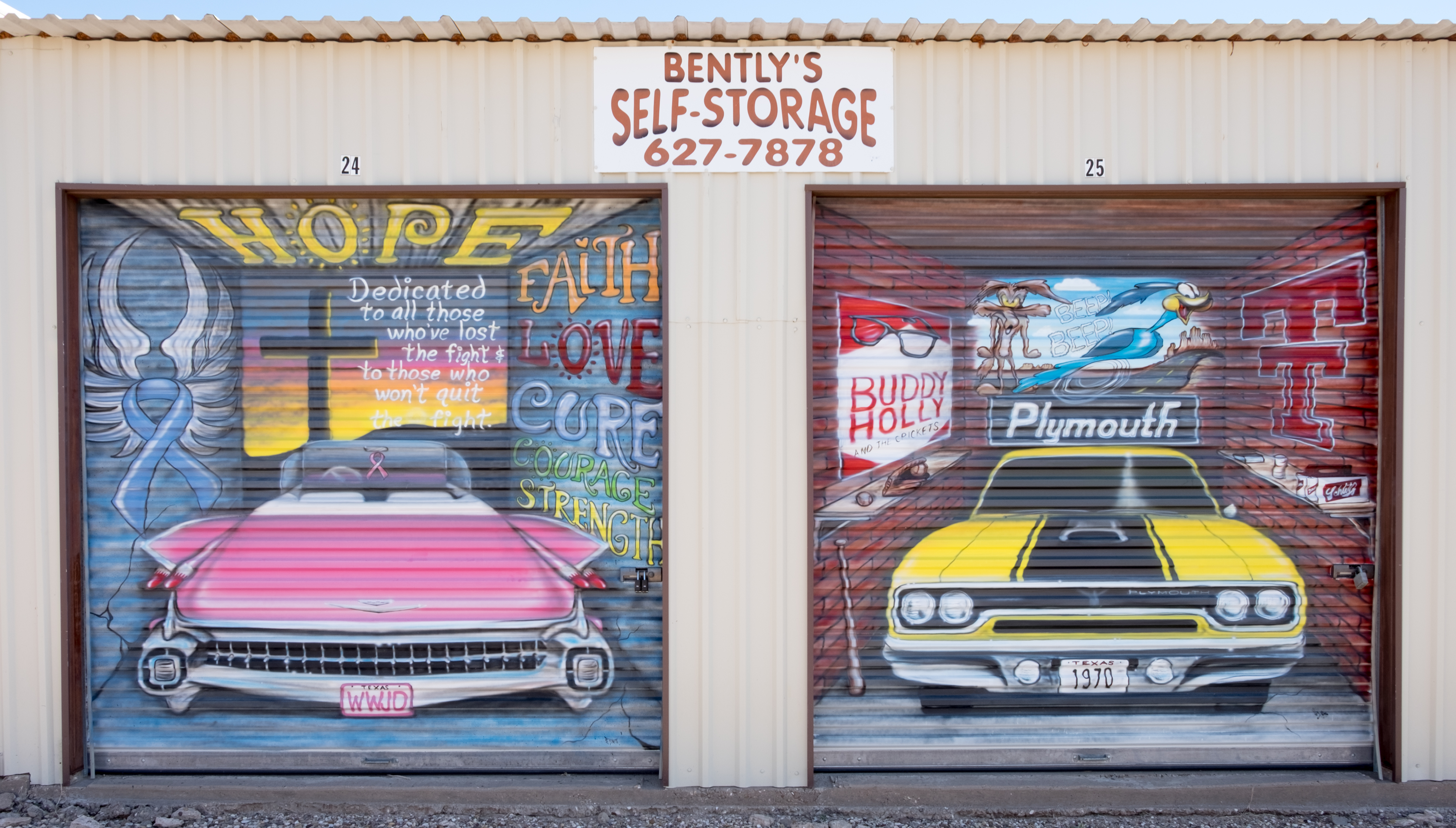
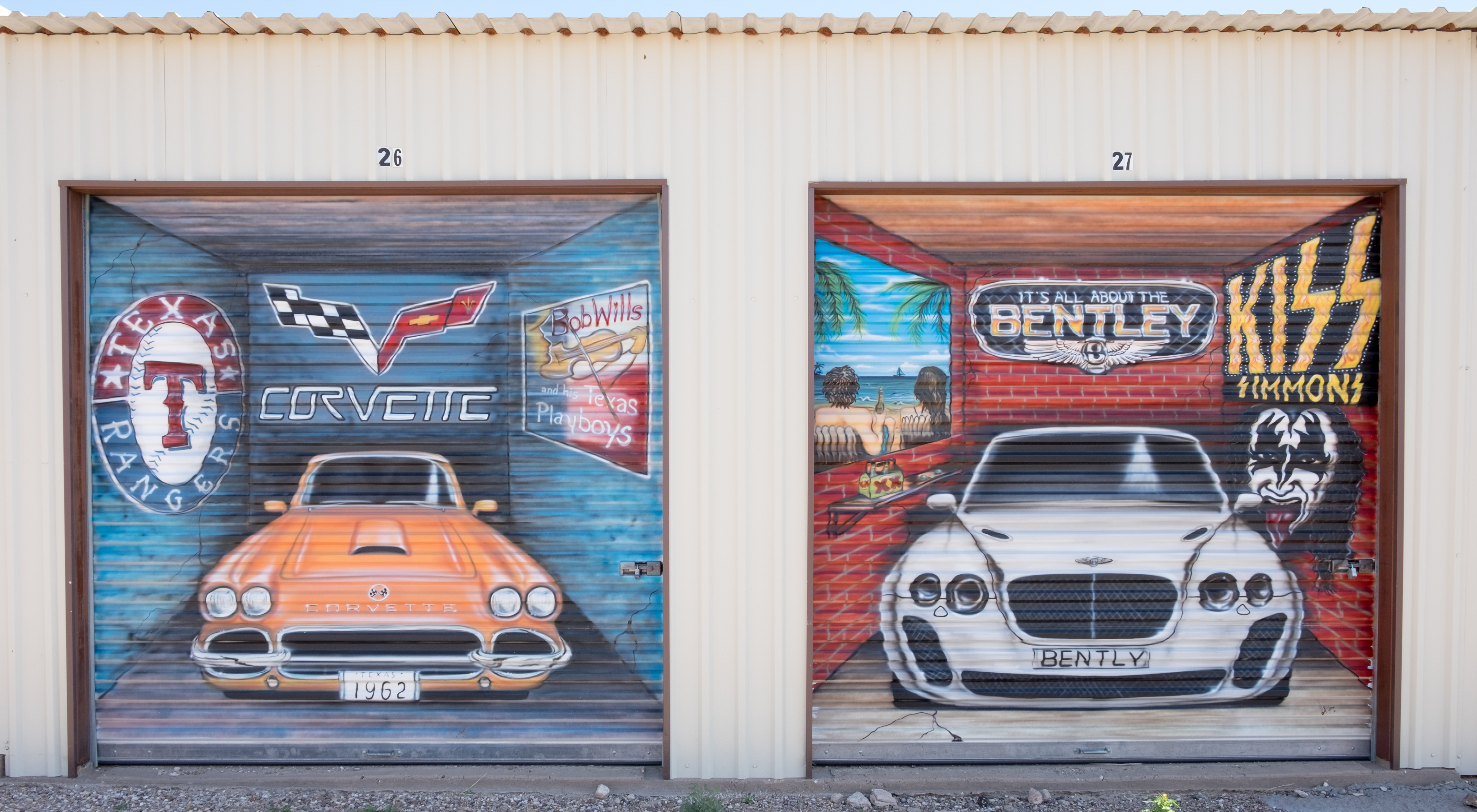
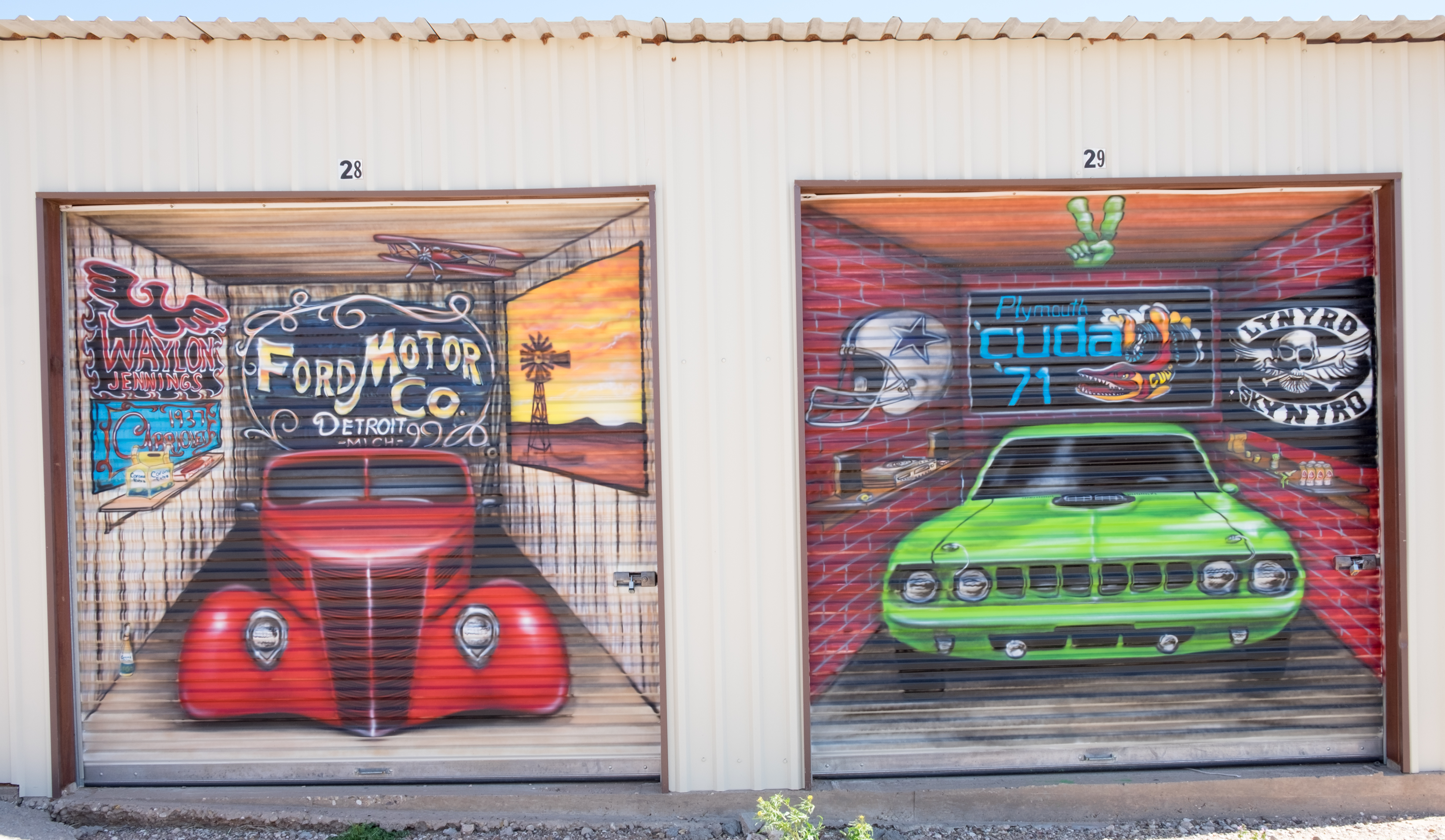
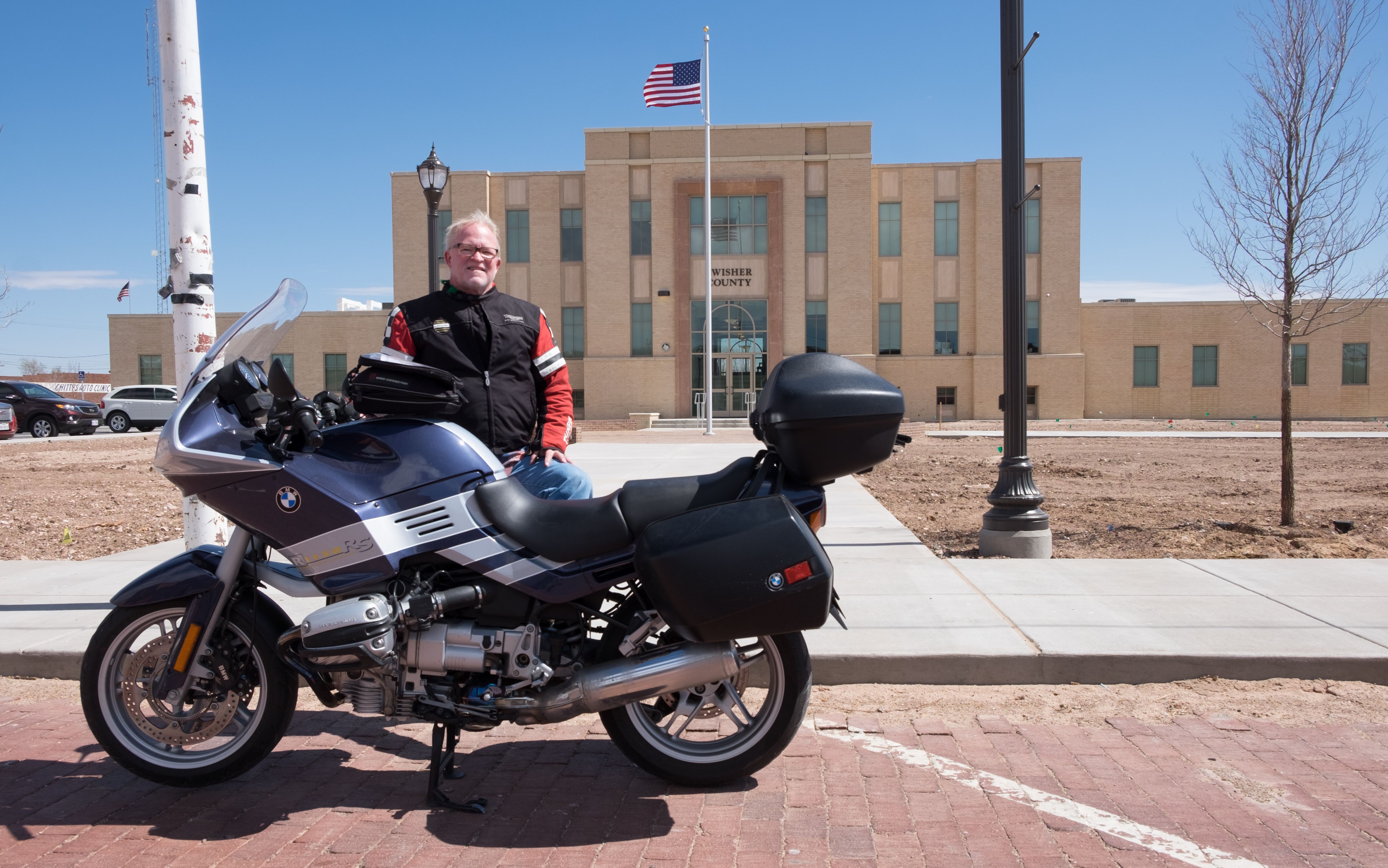
These things are hand-painted murals on the rolling doors of a storage facility!! They are very witty, and very funny, and very good. Next stop, the Tulia courthouse, apparently being landscaped (or maybe they just like bare dirt, what do I know):
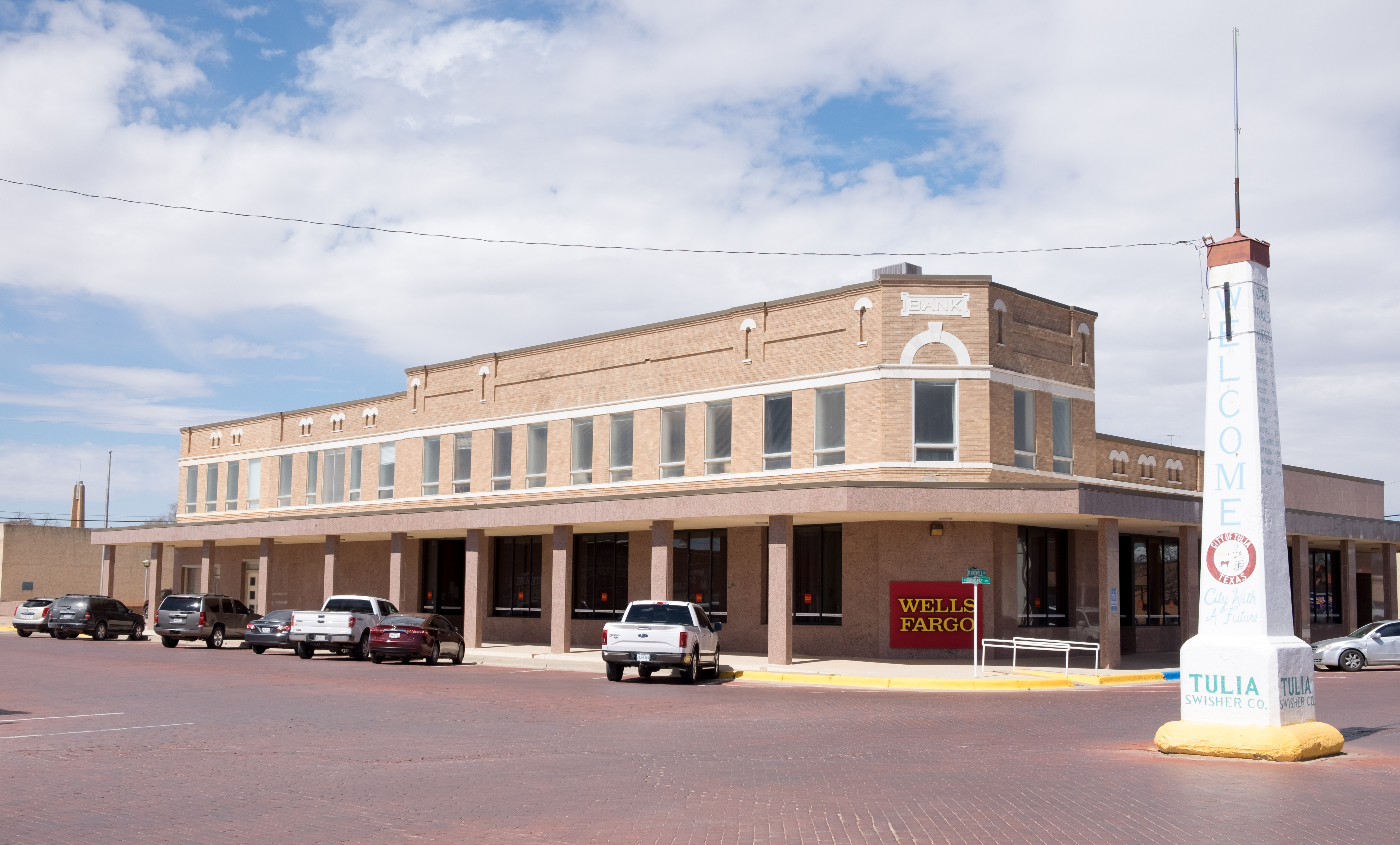
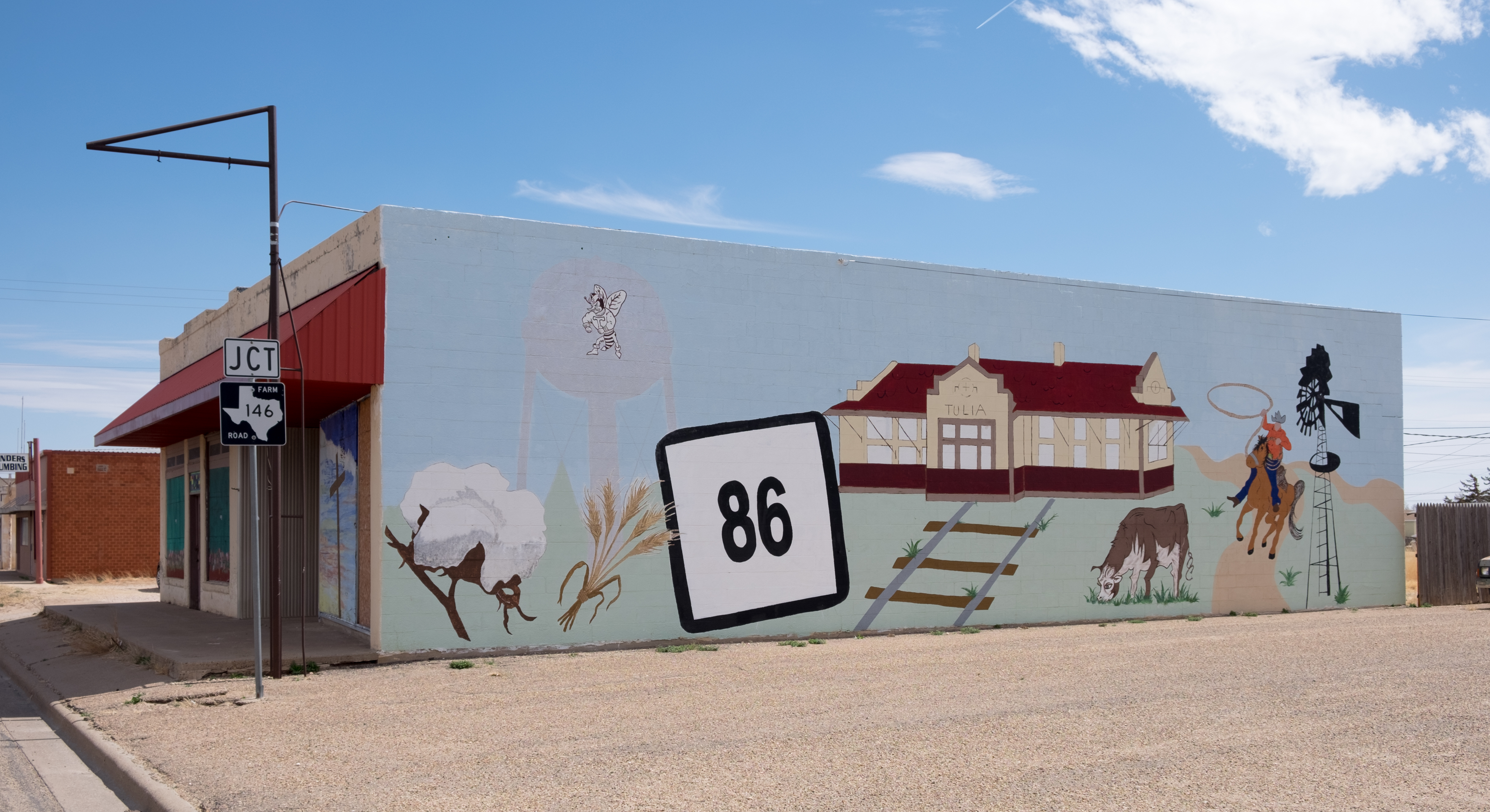
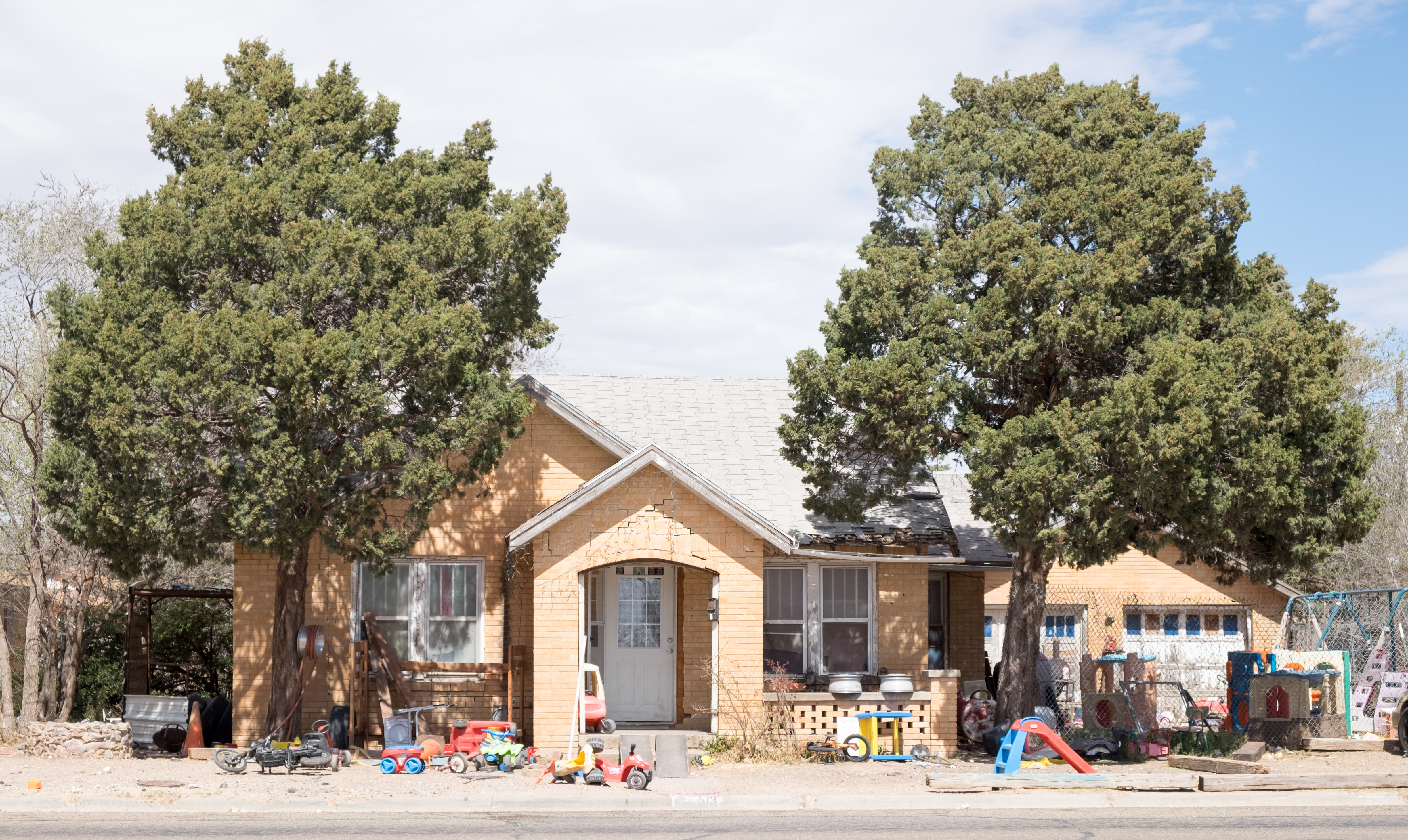
Unbeknownst to me, upon leaving Tulia I was to launch into the richest visual experience of the trip, as I headed eastward to Silverton, and then on the incredible Highway 256 to Memphis.
The next photo is of someone’s home out in the middle of nowhere, set well back from the highway. It’s a nice place that cost something to build. This was someone’s idea of paradise, and I’m not saying it isn’t – but boy is it an austere one…
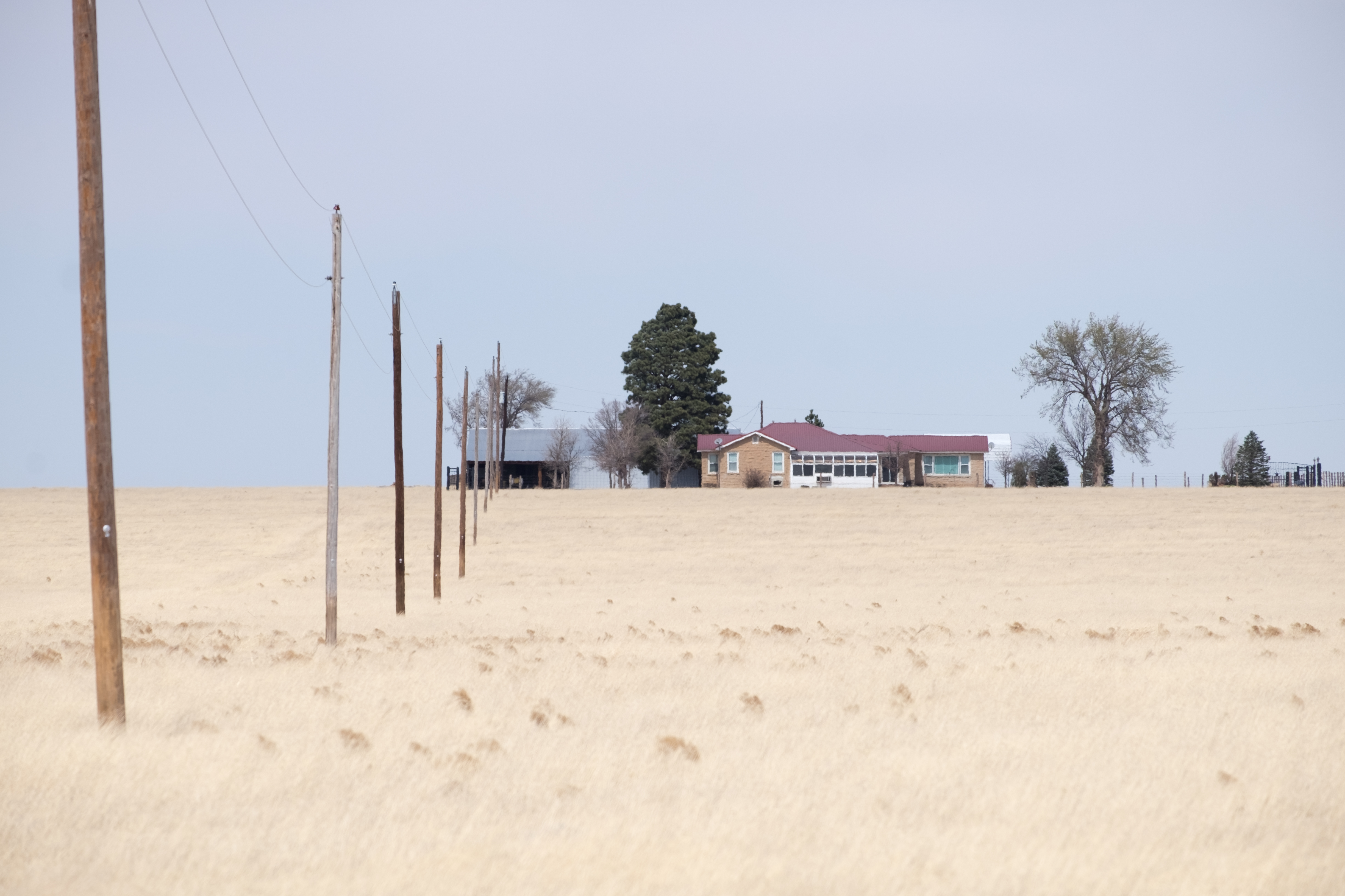
Speaking of the middle of nowhere, I’m driving along at 85mph when I have to slam on the brakes, U-turn, and unpack the big lens:
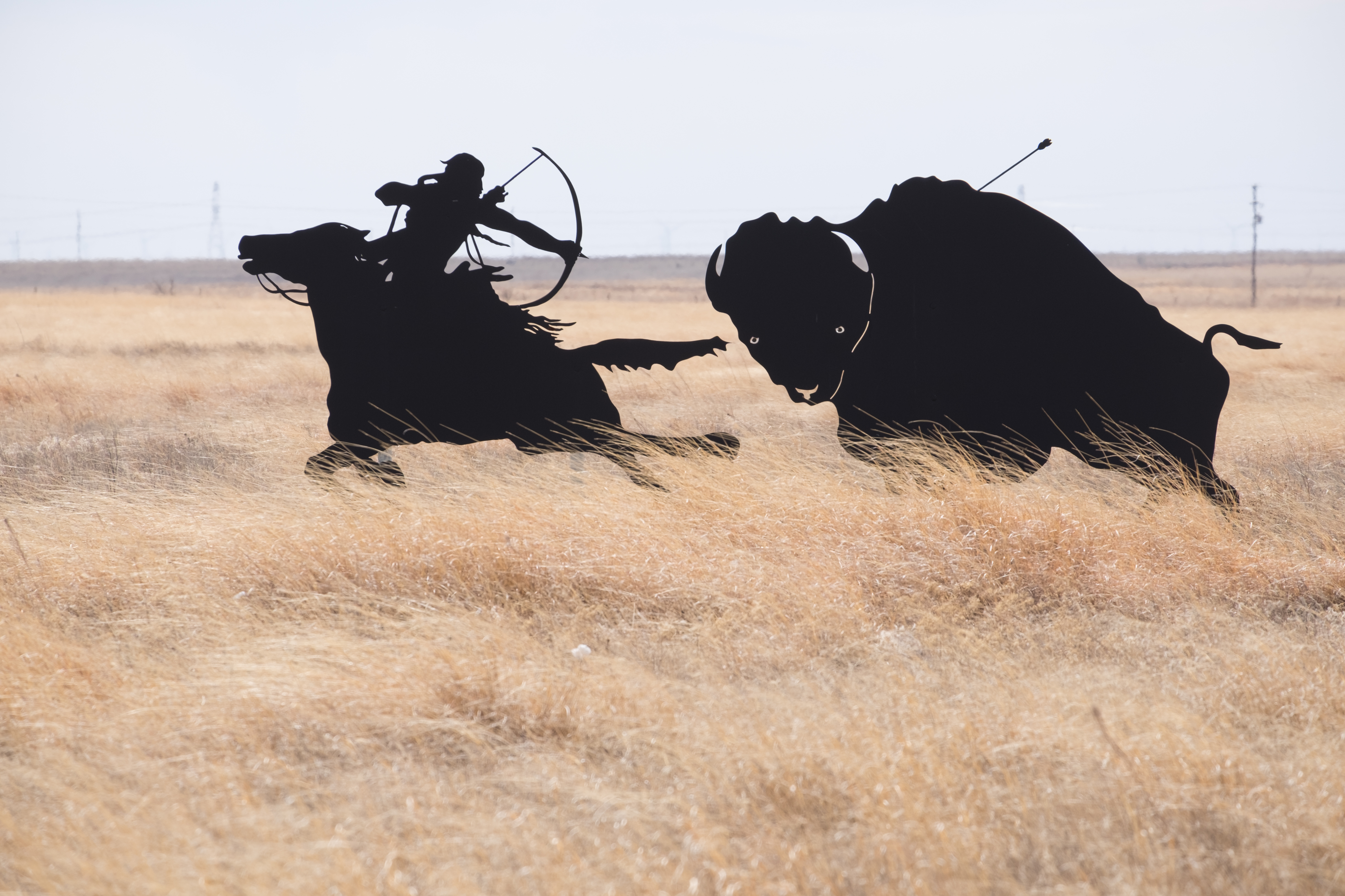
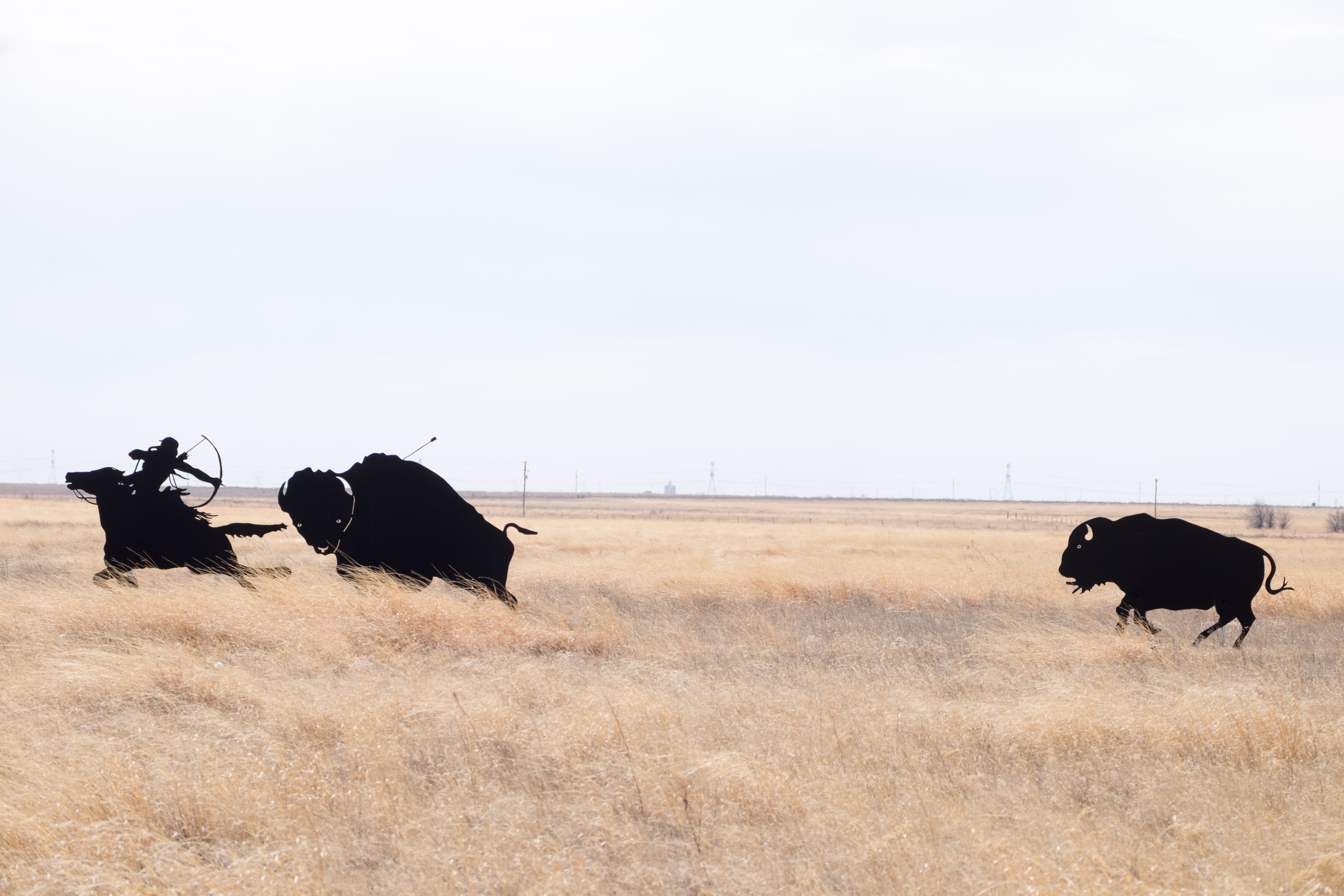
These metal sculptures (they are flat) are absolutely uncanny out here in the grasslands, which was home to the Comanche and other famous plains Indian tribes. I understand this to be a loving tribute to a way of life long since gone – we’ve already seen where the bison wound up, and there’s more to say, later, on the Comanche…
On to Silverton…
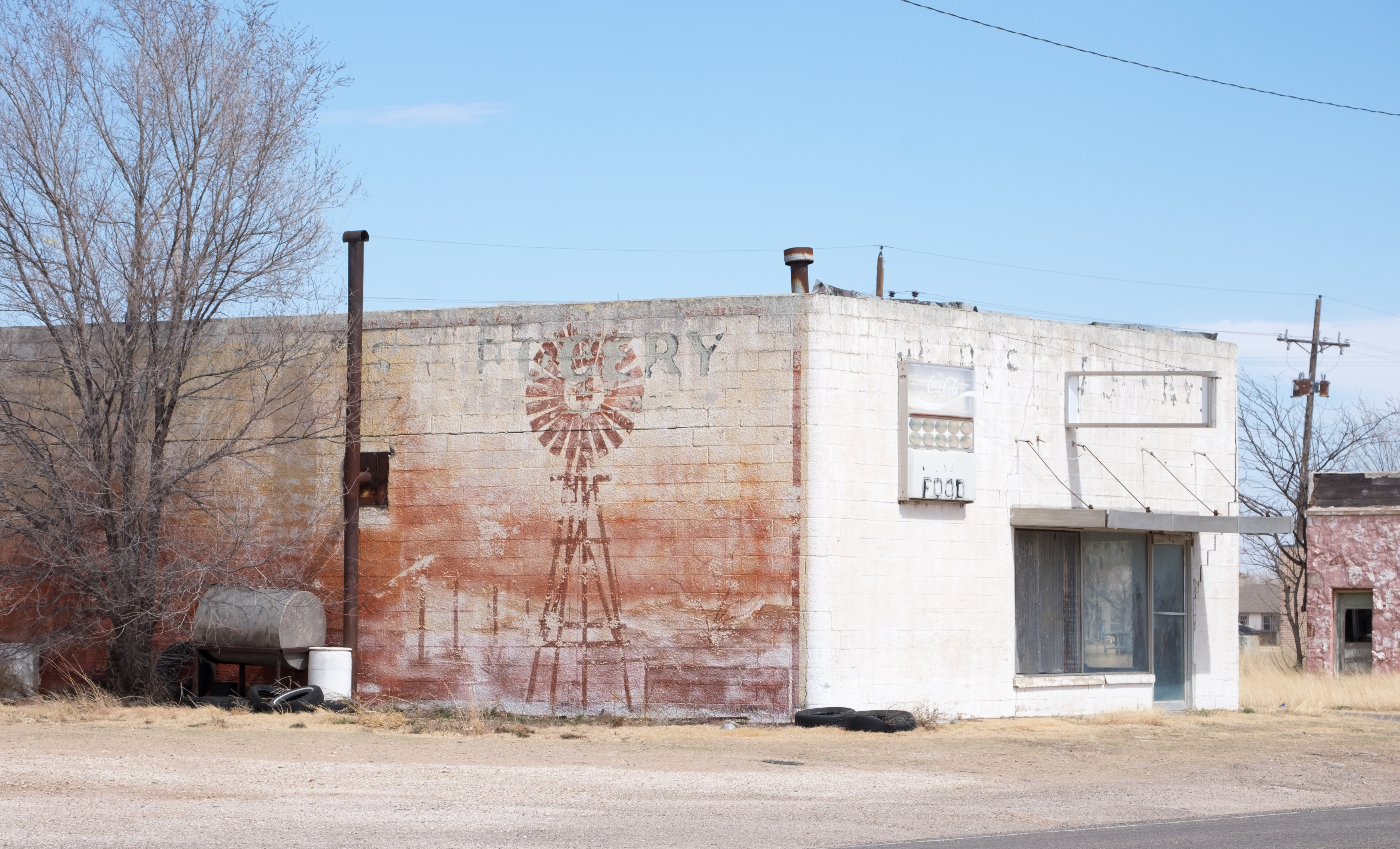
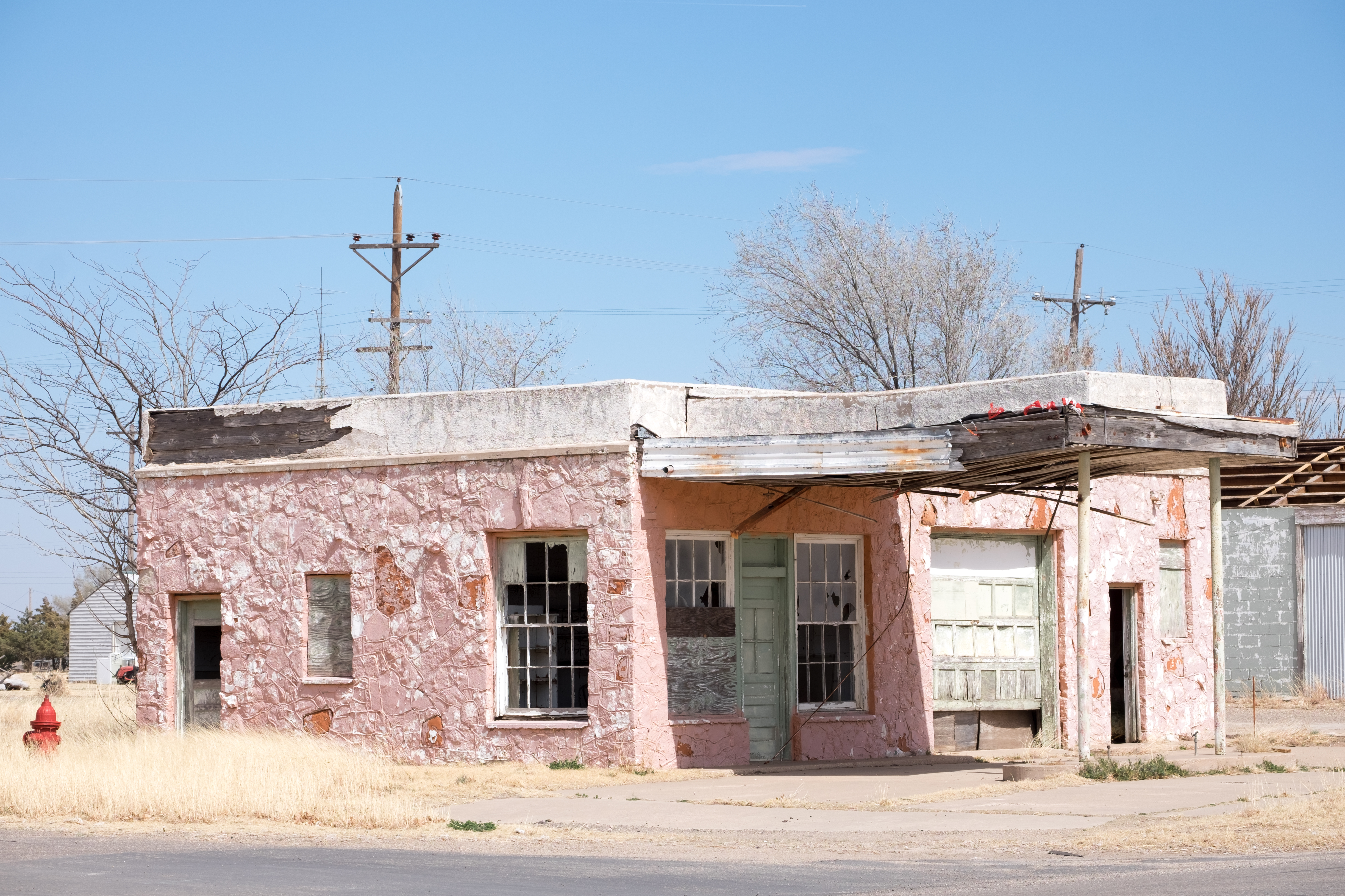
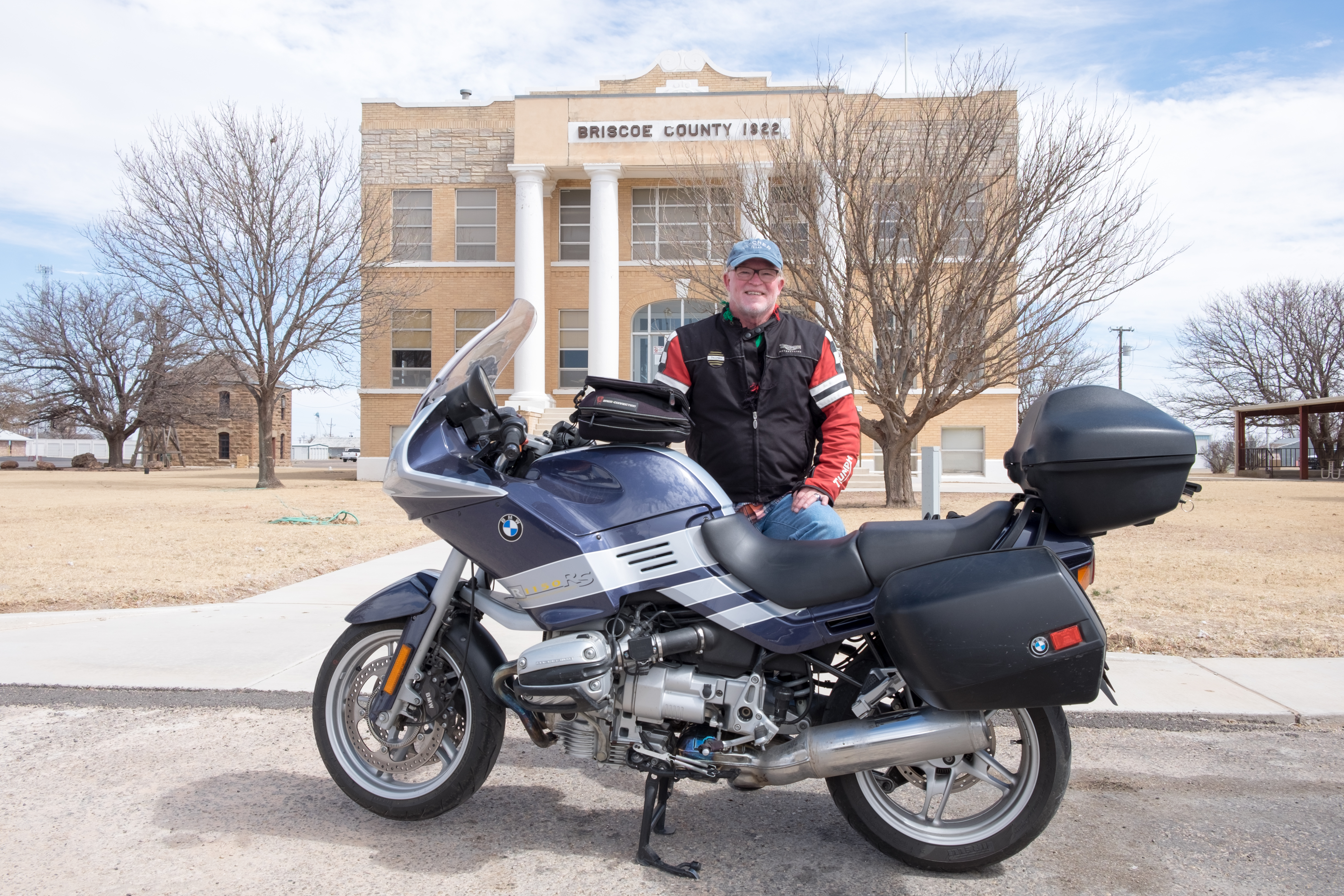
Last stop out of Silverton heading east:
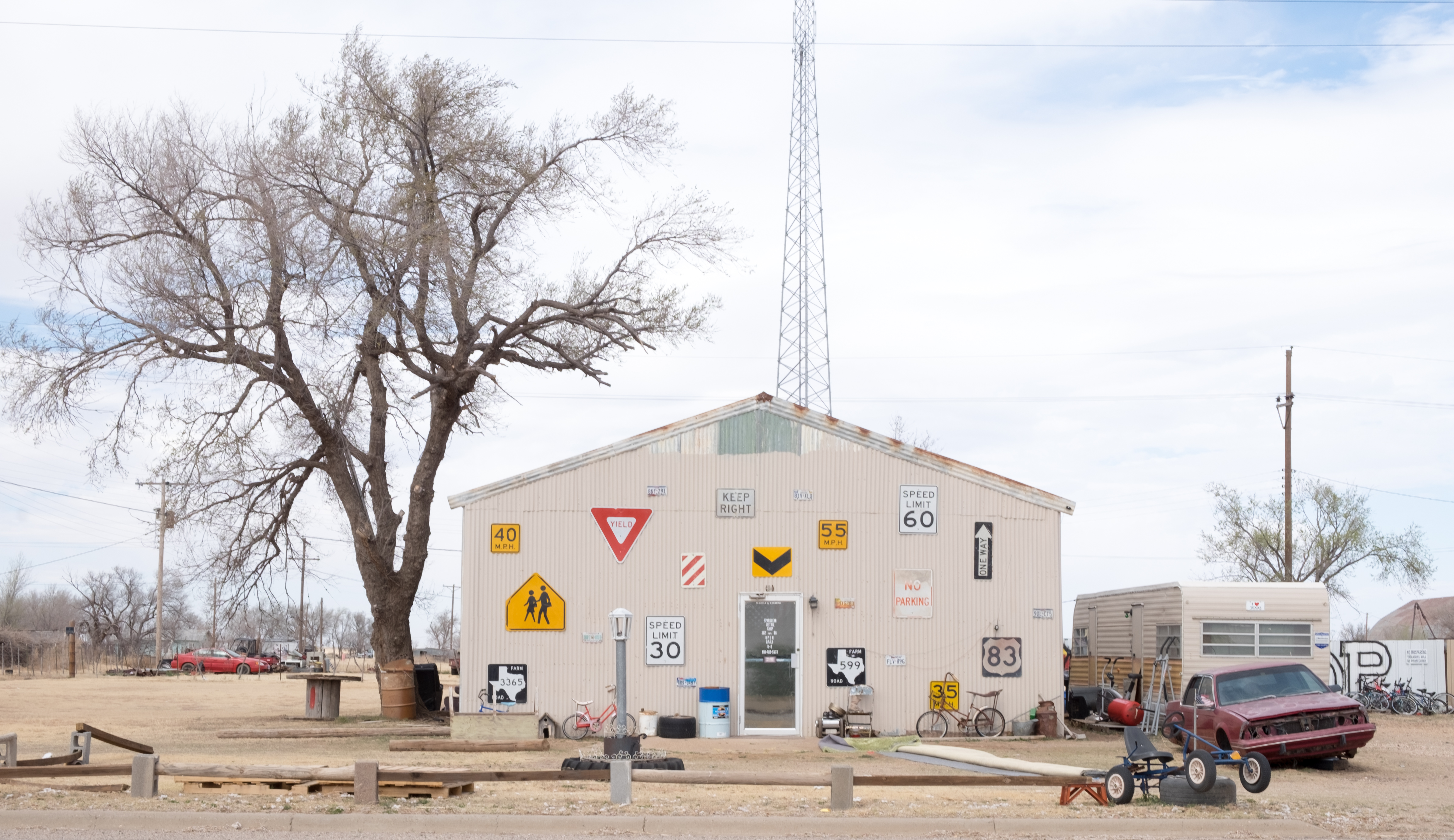
So I’m driving along and I see a road sign that shows squiggly curves and a 30mph speed limit ahead. I laugh out loud in my helmet and then, with no warning (other than the squiggly road sign):
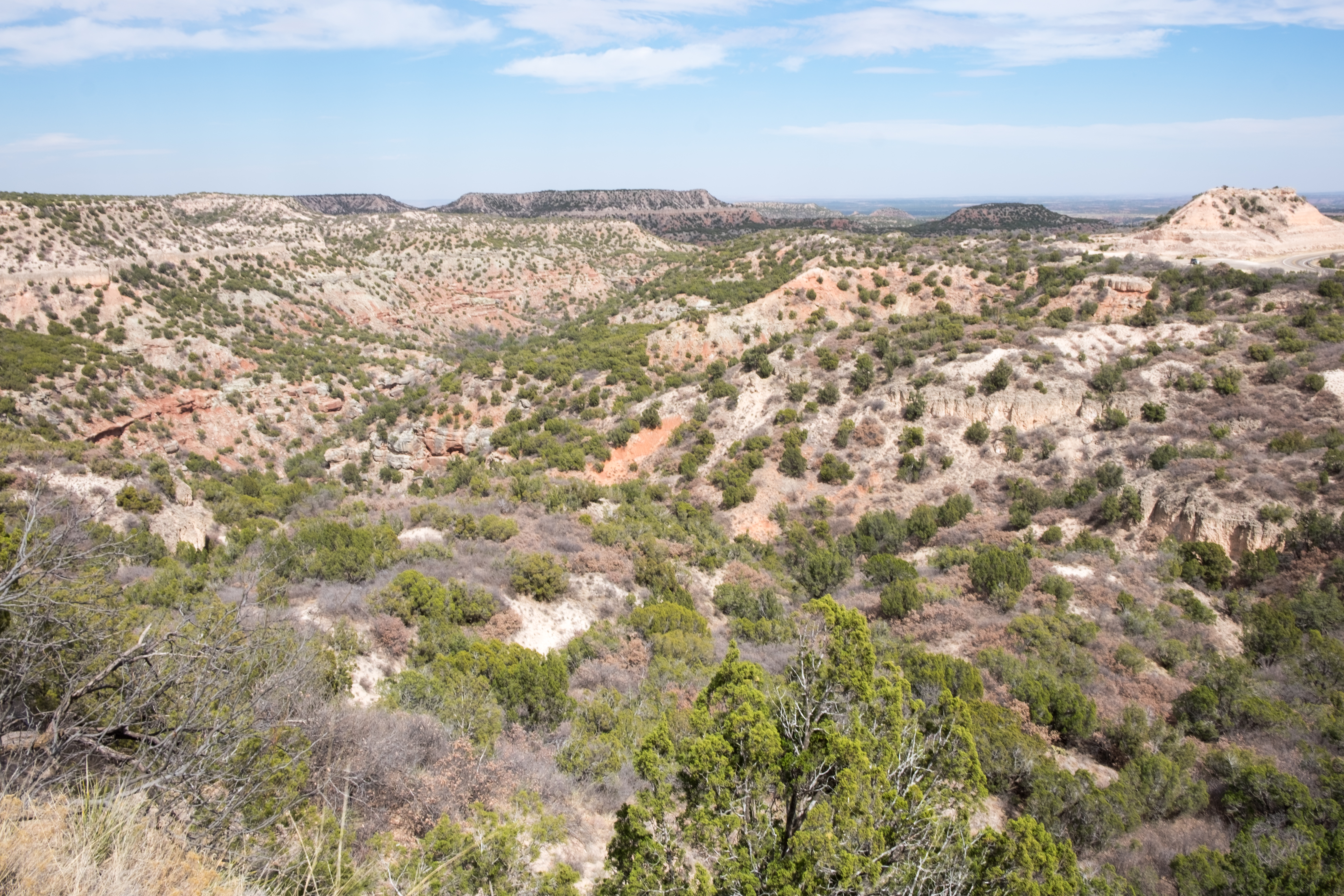
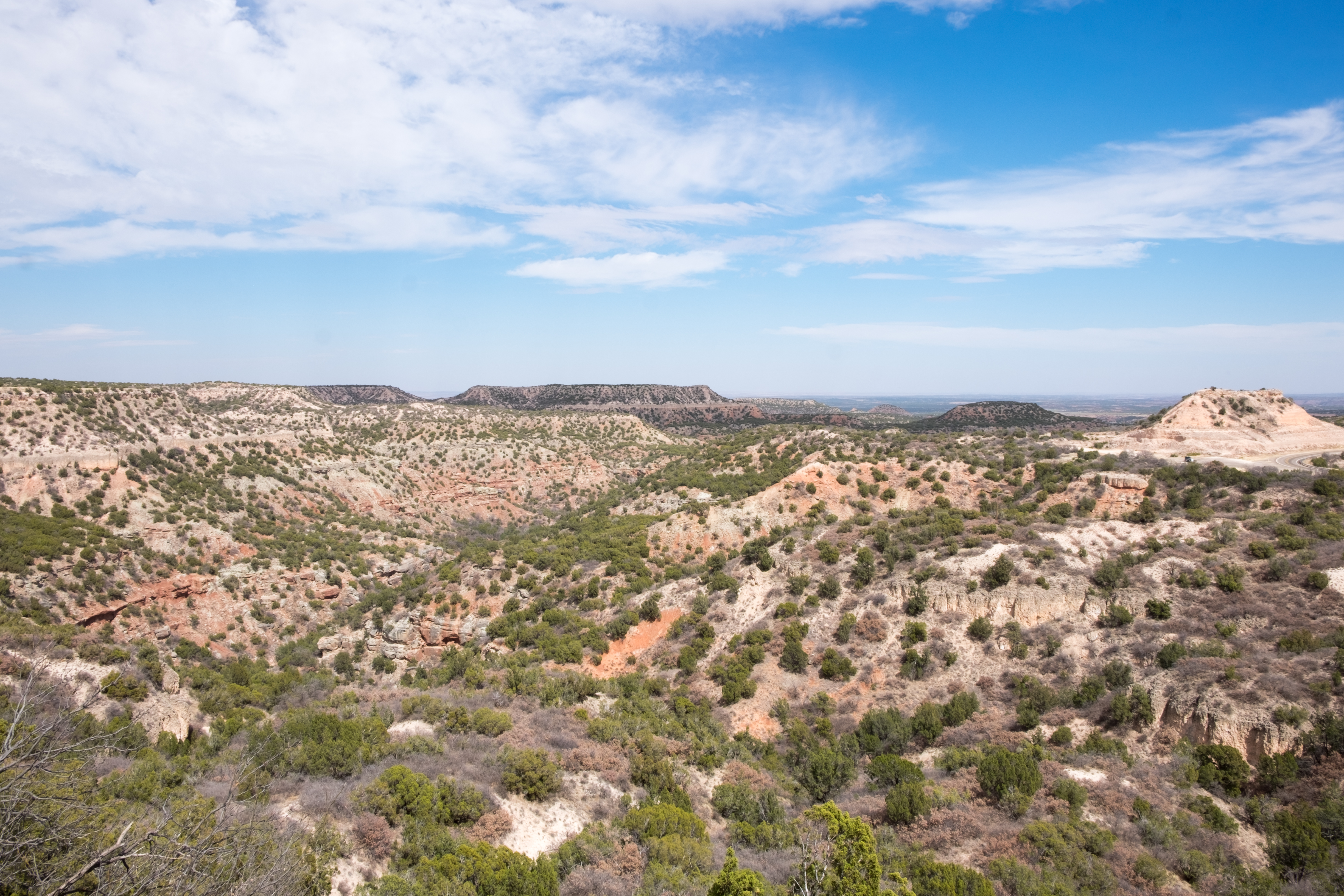
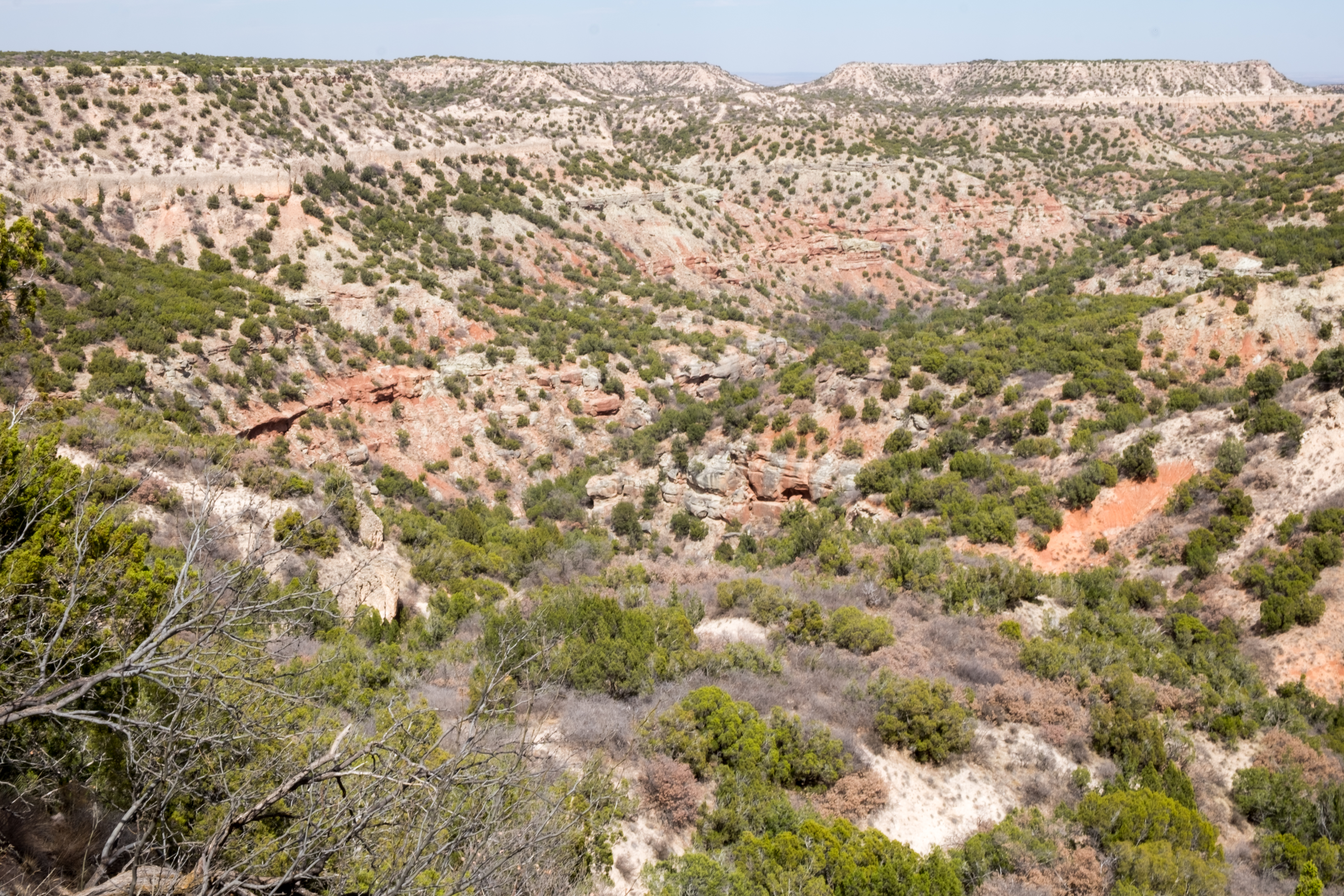
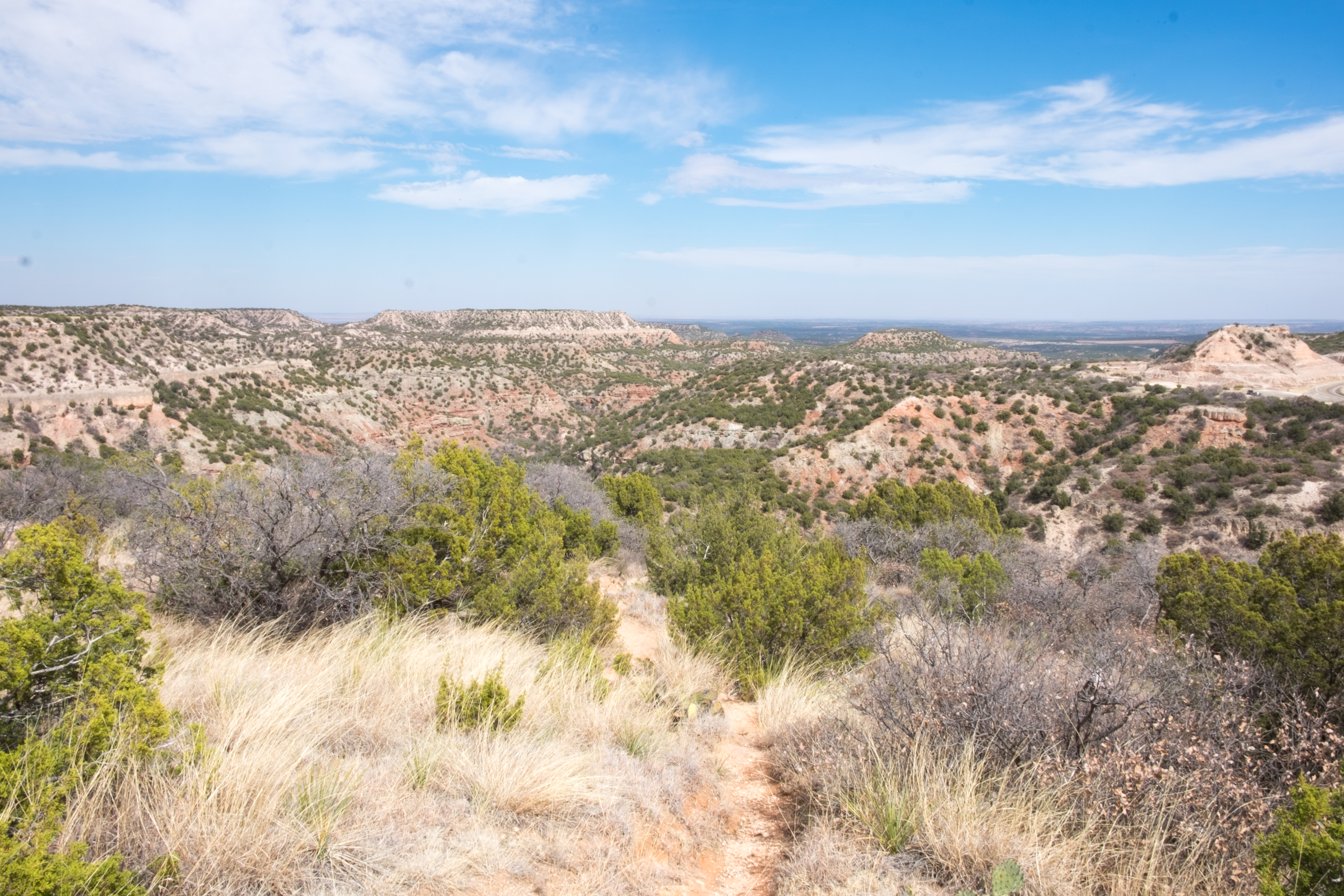
No sooner do you drop down off of this escarpment into the plains below, then you have – this is no lie – the Prairie Dog Town Fork of the Red River:
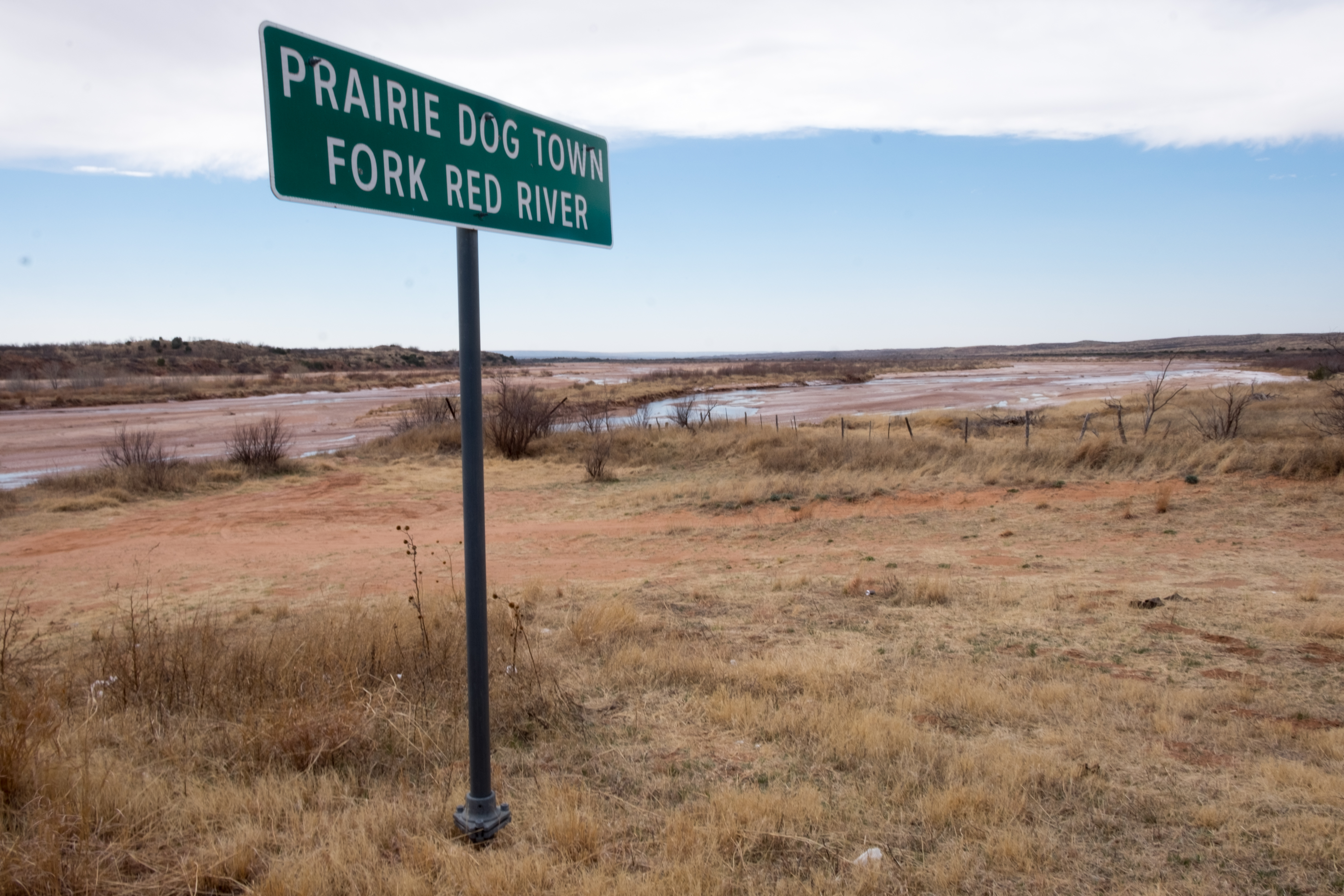
And here’s the river:
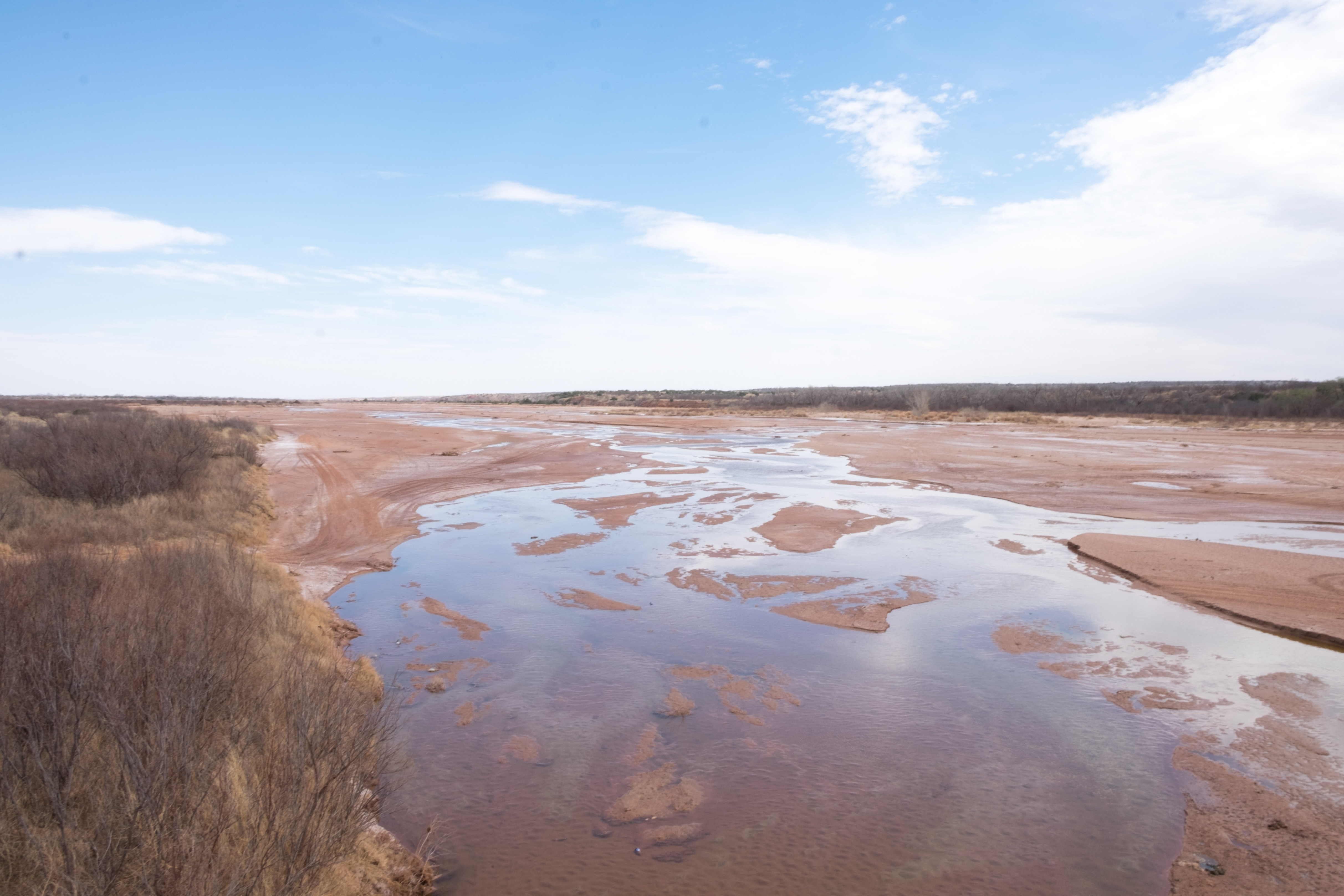
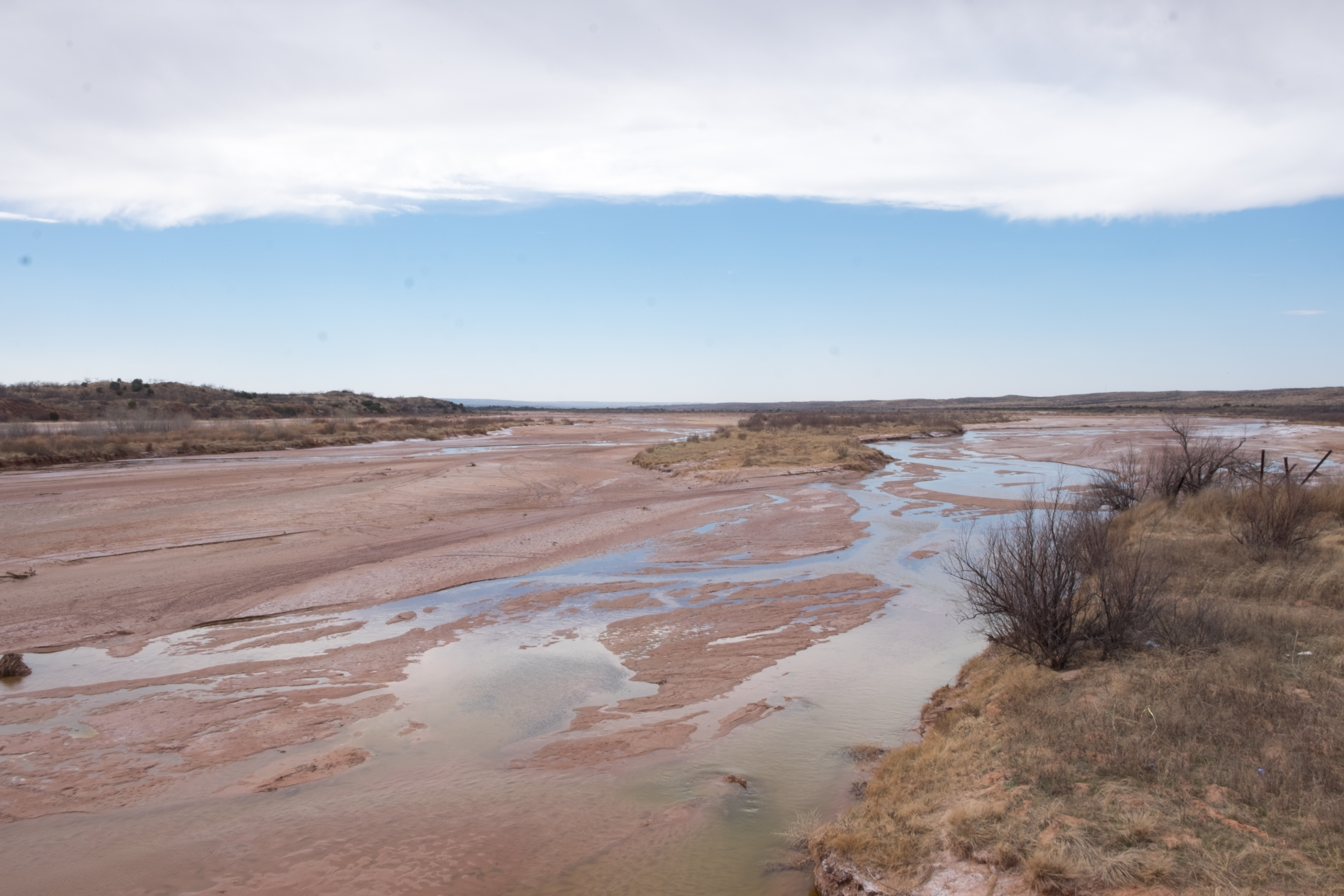
We aren’t even halfway between Silverton and Memphis (Hall county seat, not the one in Tennessee) yet, and then we land in the middle of this:
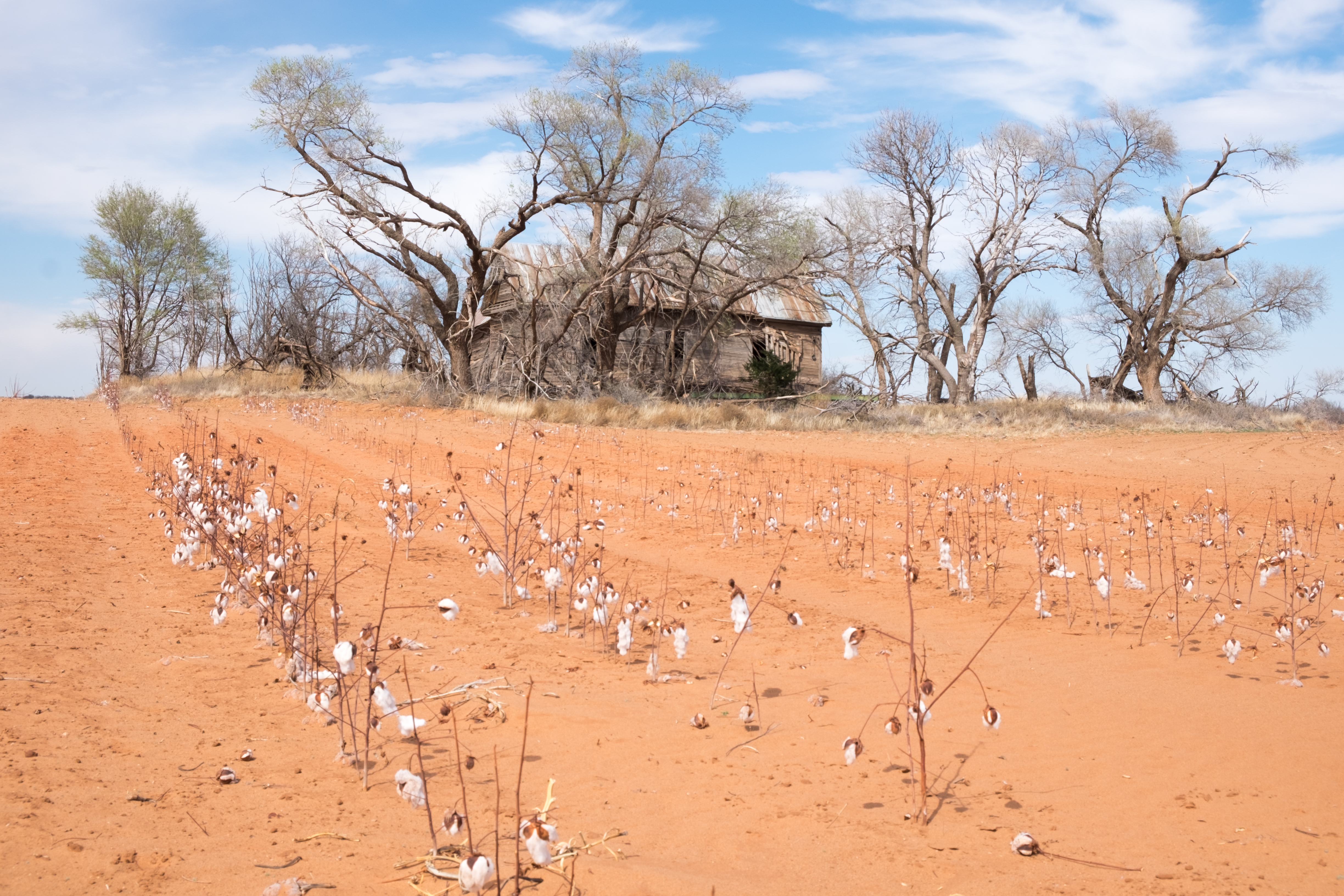
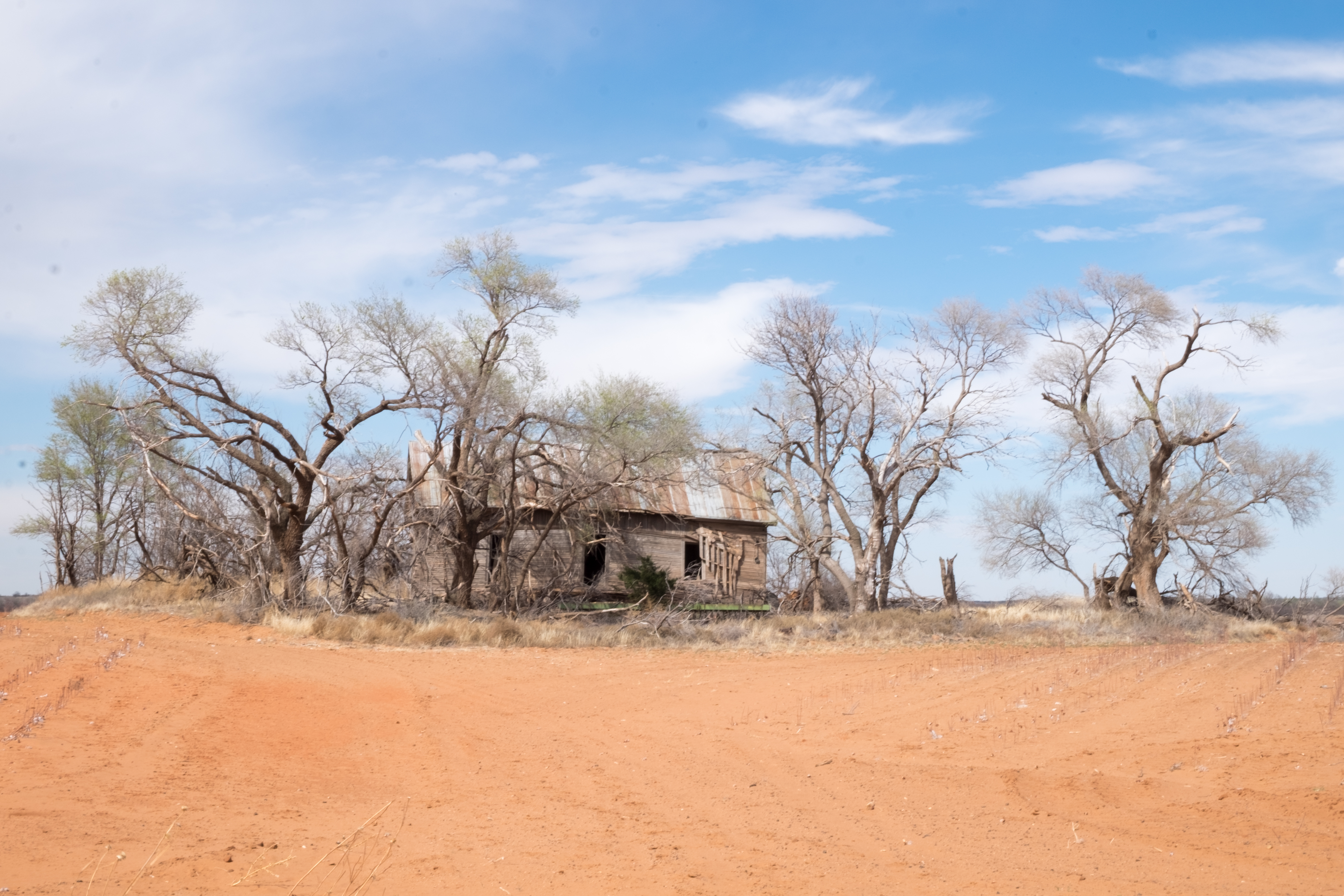
I don’t even know what you’d call this place, but there was more ahead:
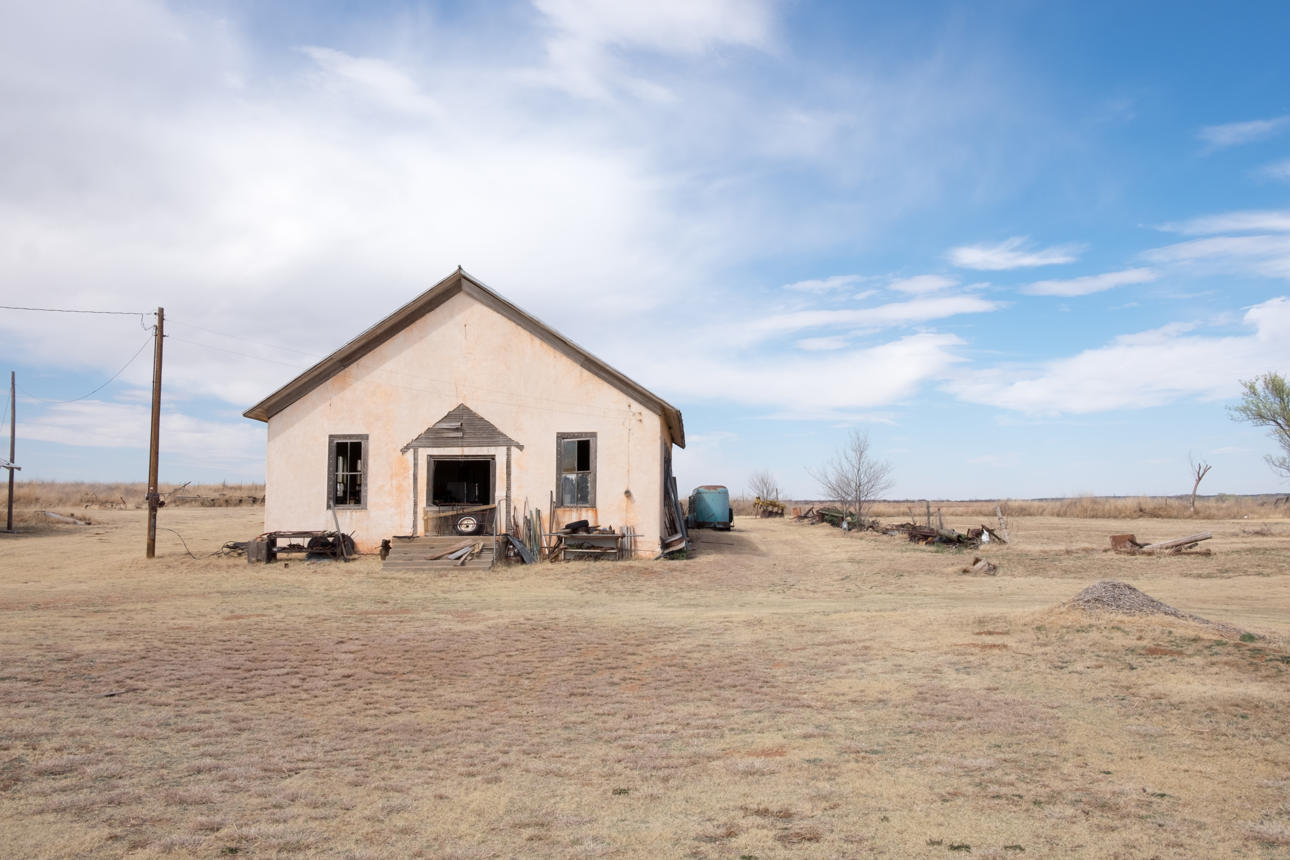
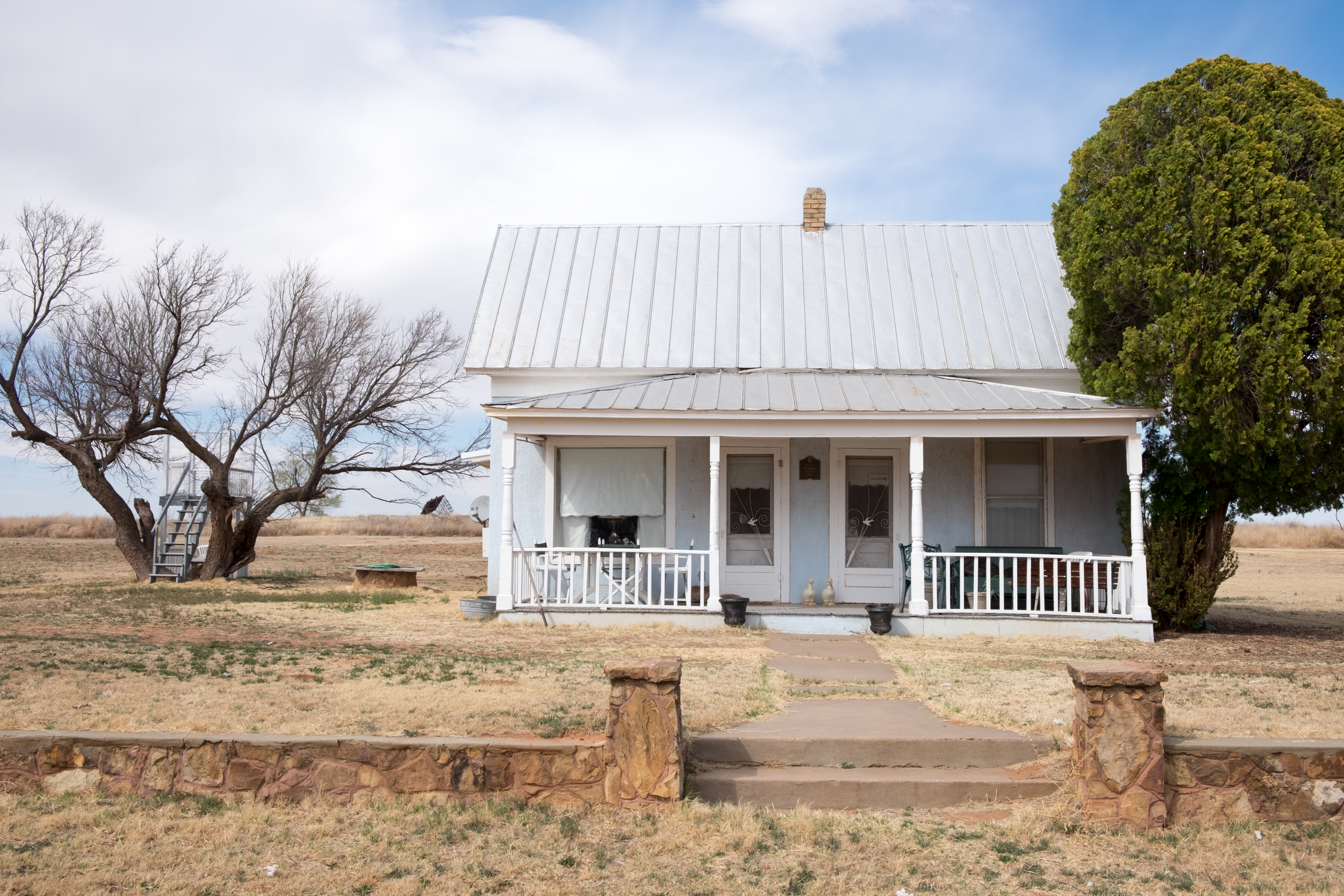
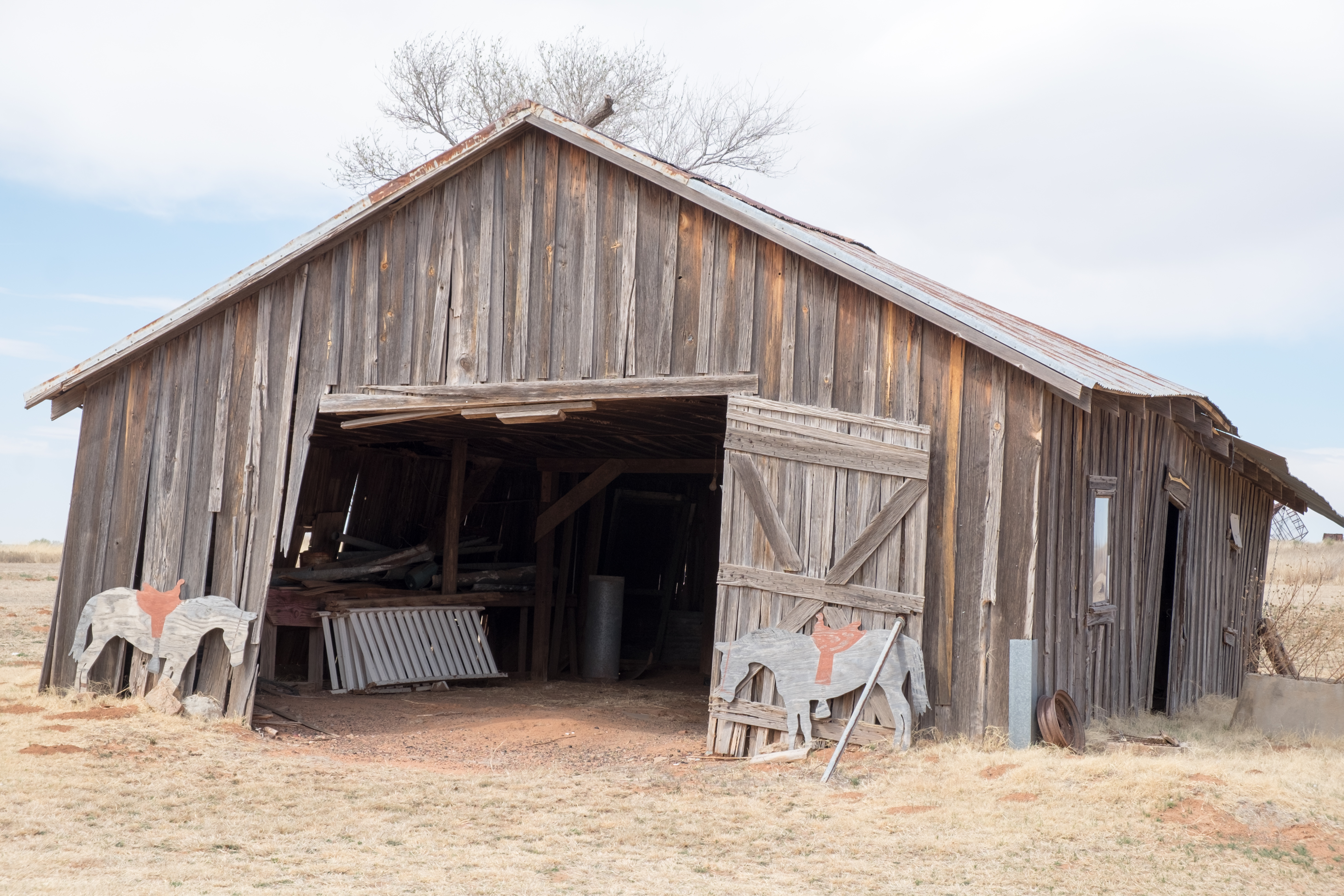
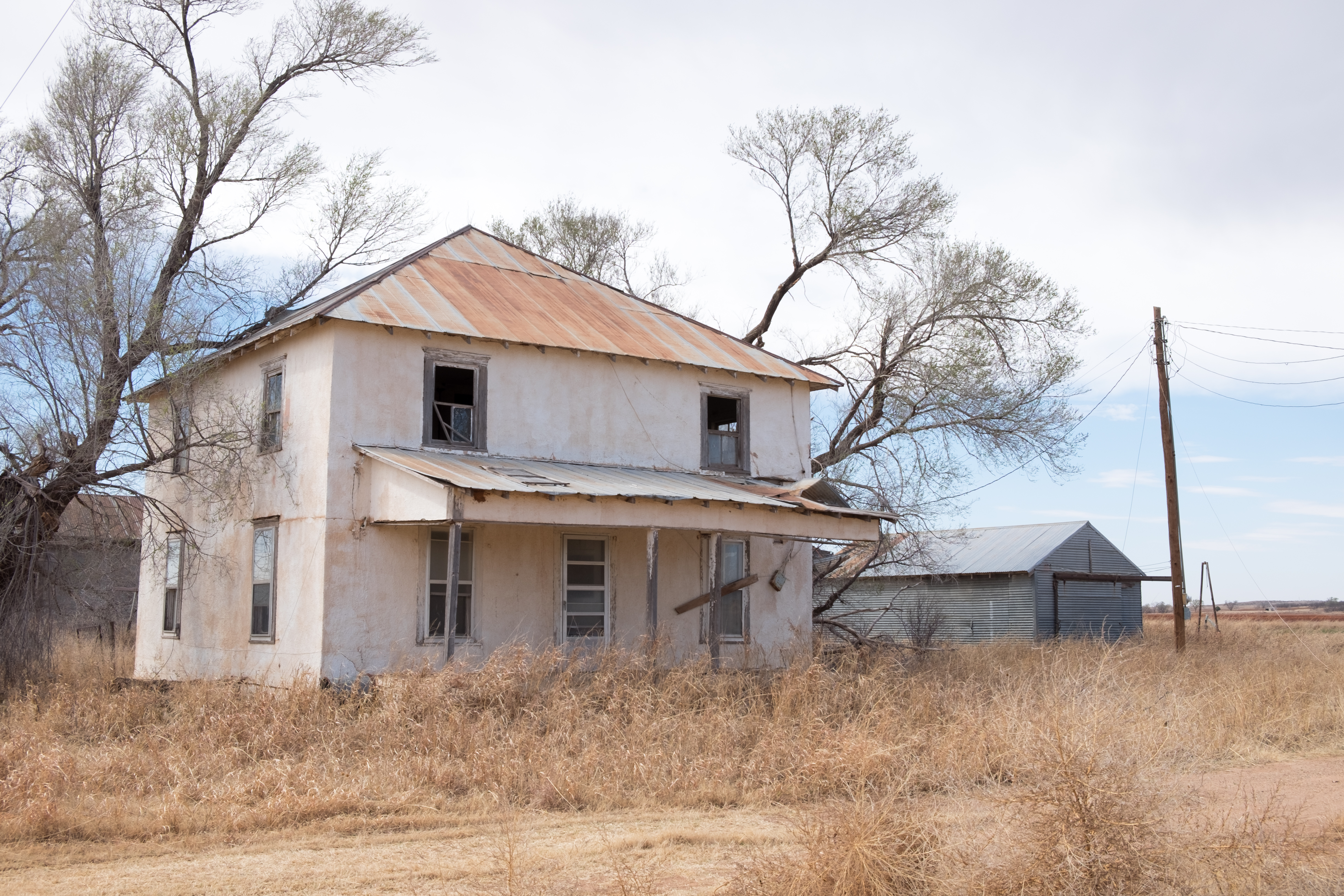
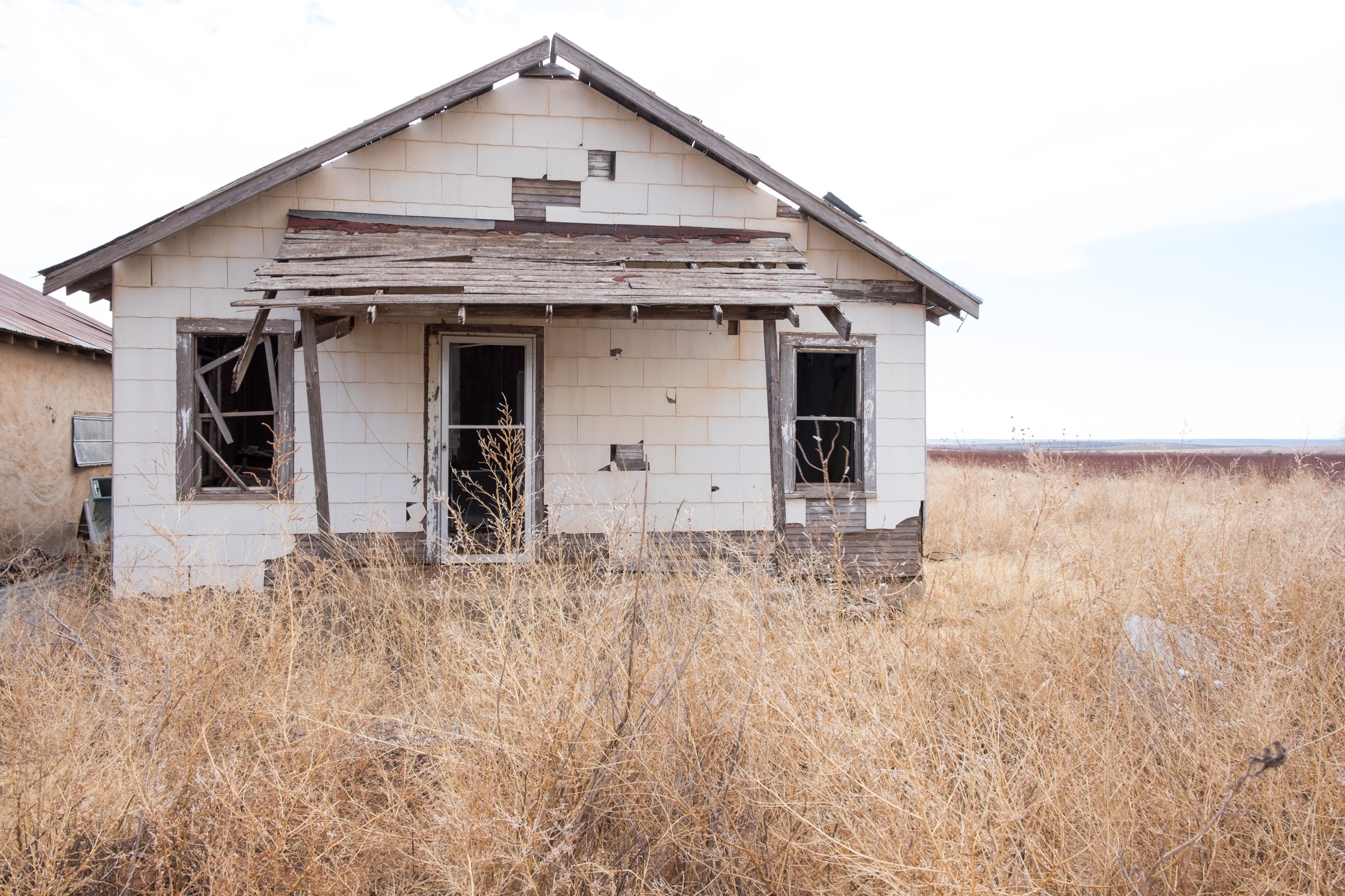
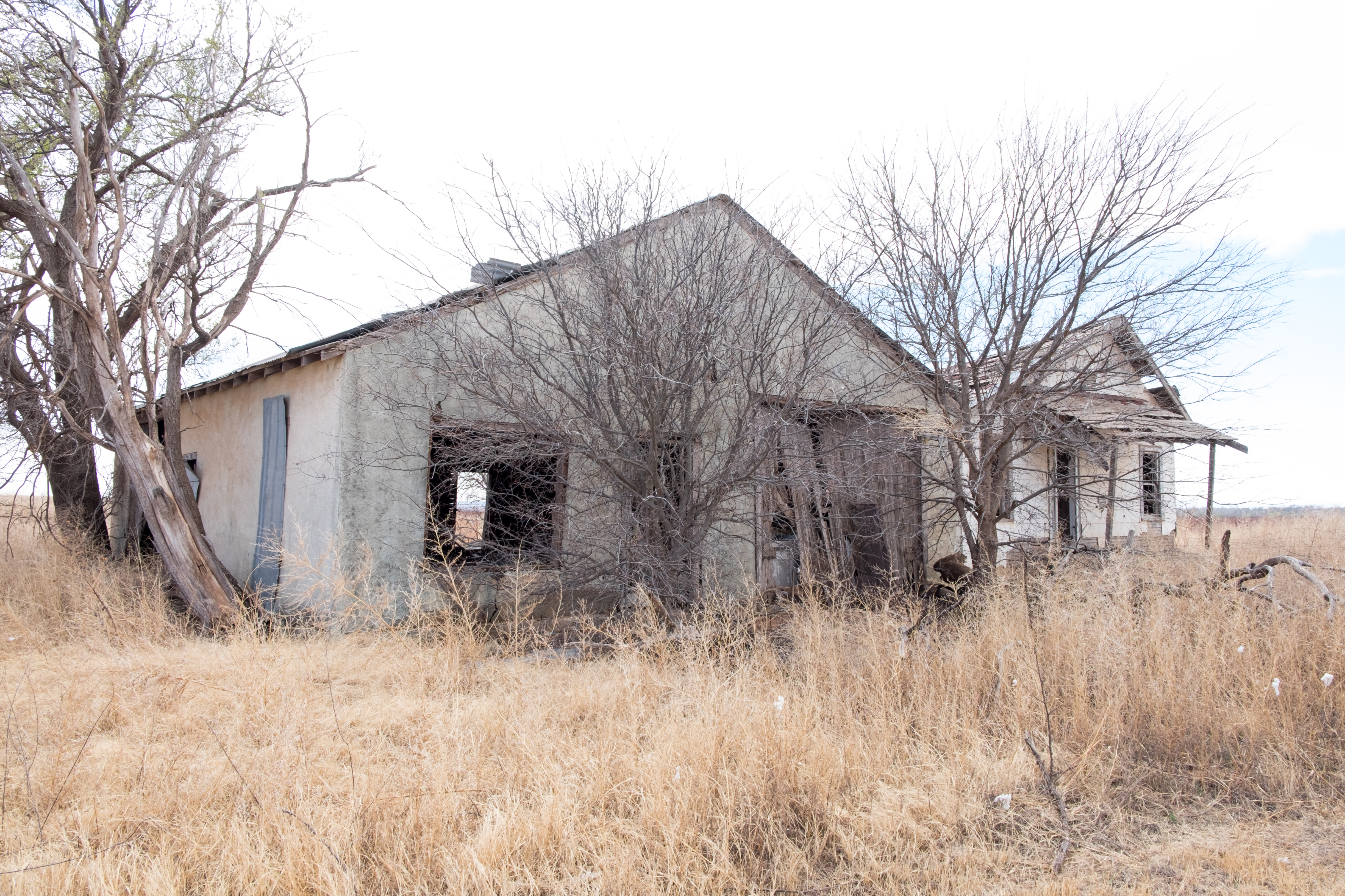
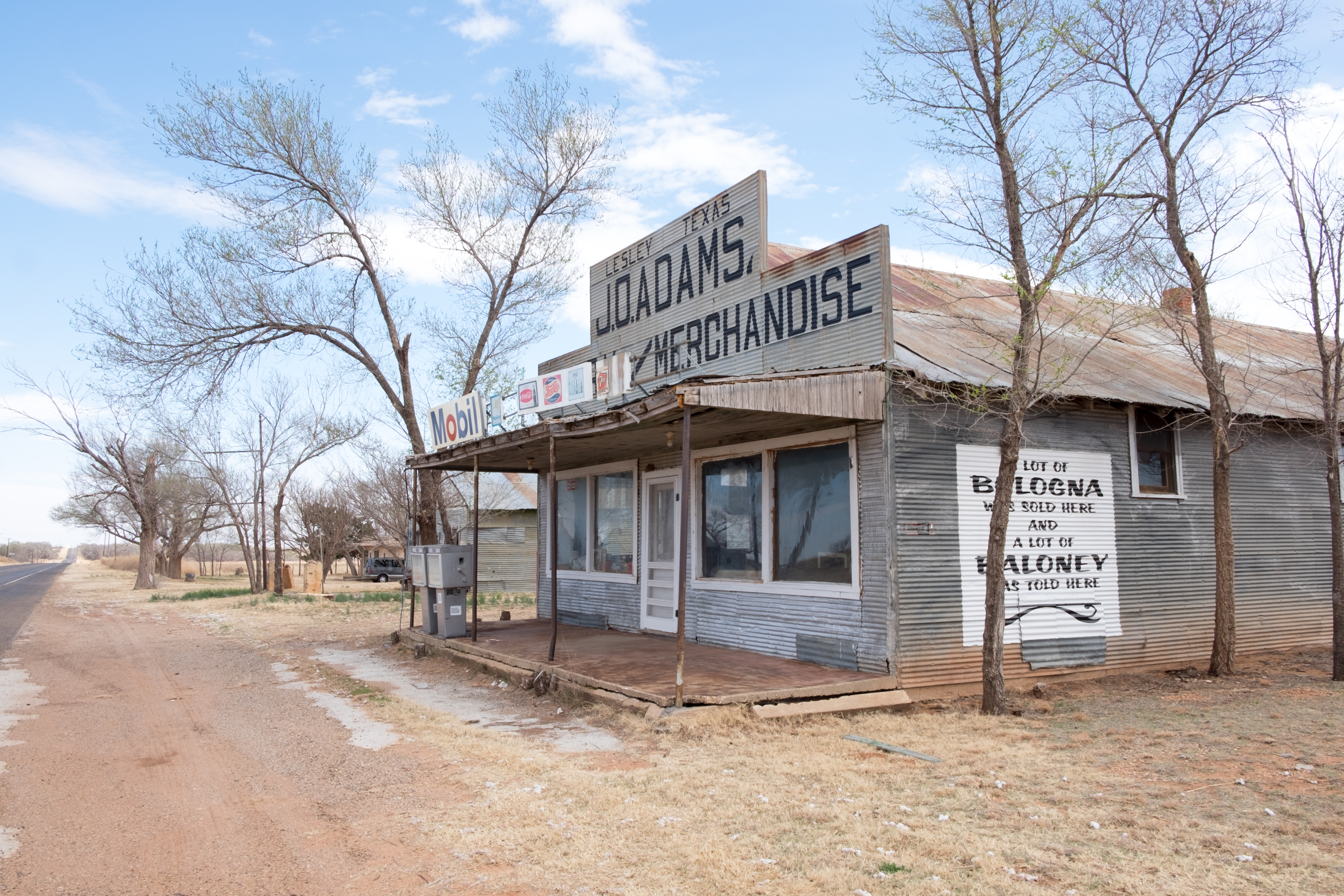
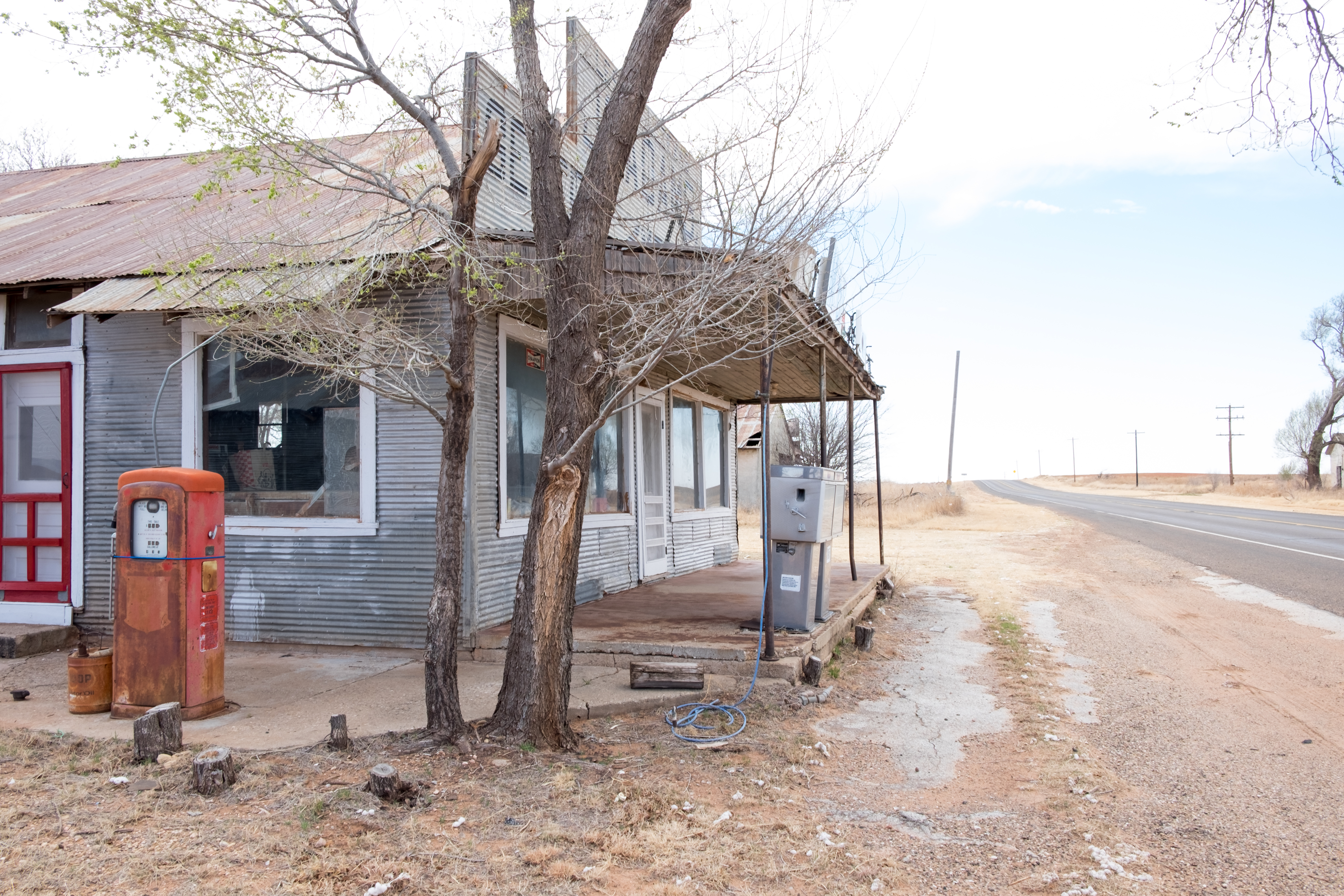
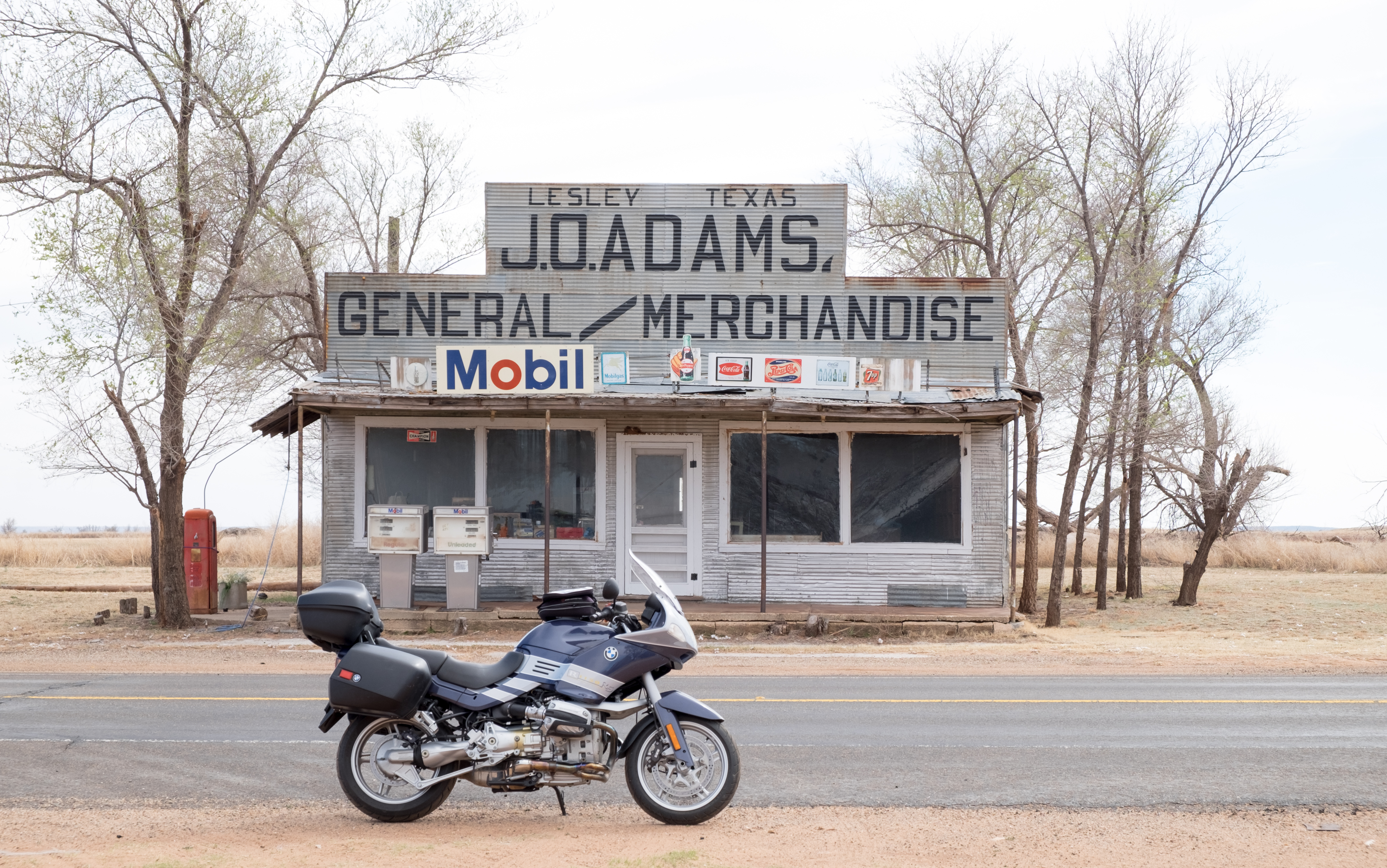
And if that weren’t enough food for thought, this comes up next – I found out yesterday from a friend who knows this area that Turkey is actually a town:
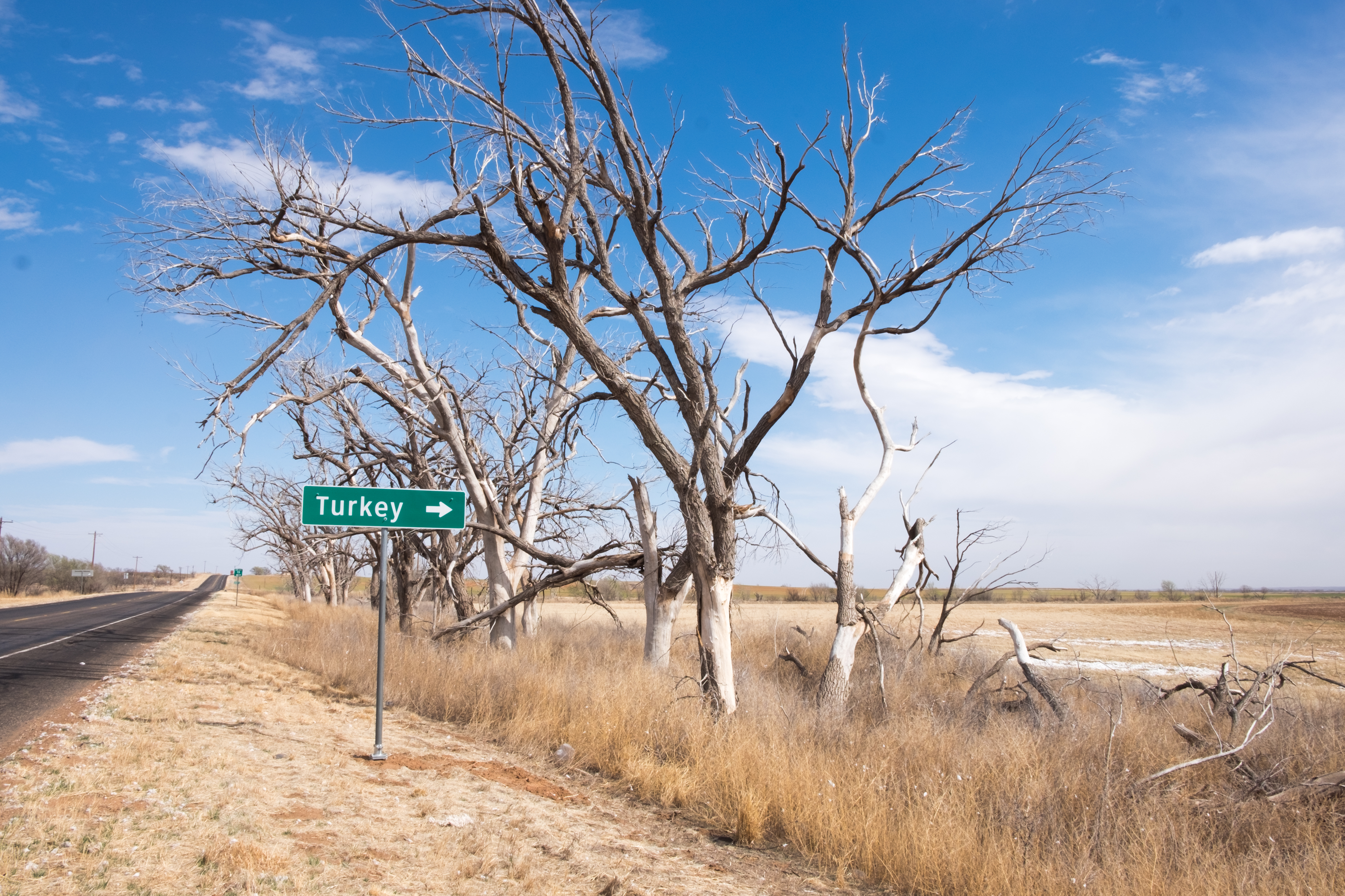
Good grief, will we EVER get to Memphis? How many times can I play that Lonnie Mack song in my head?
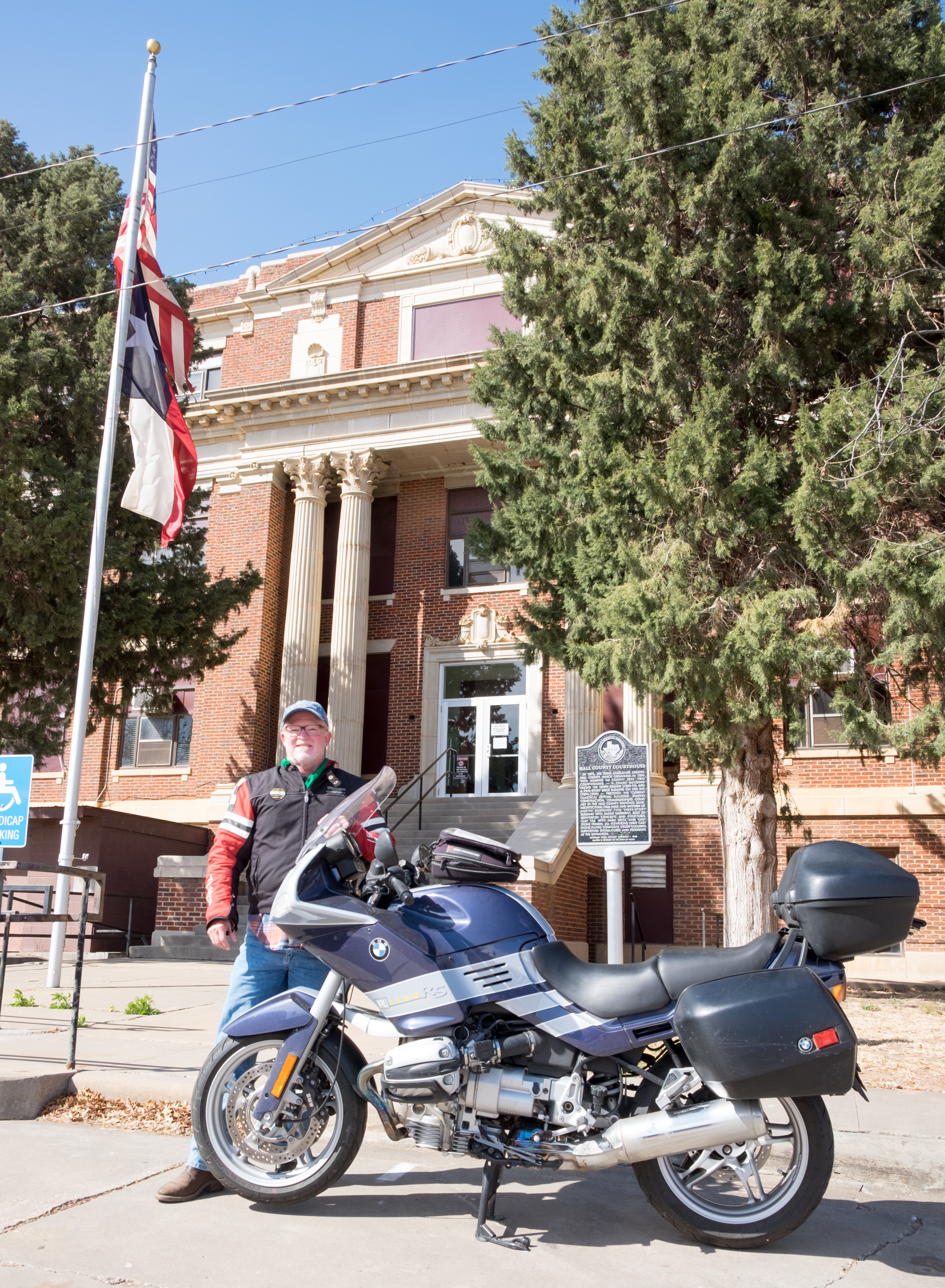
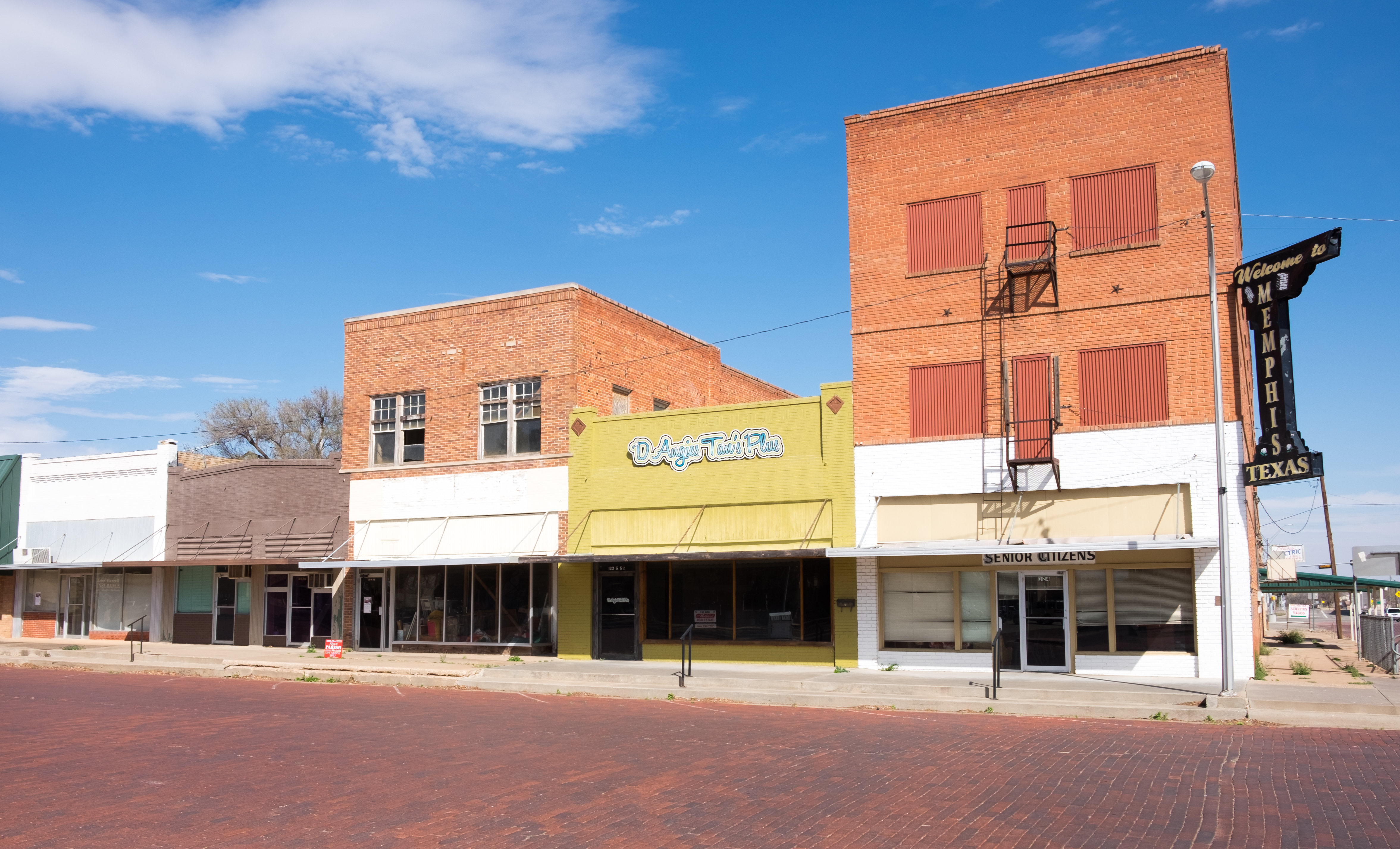
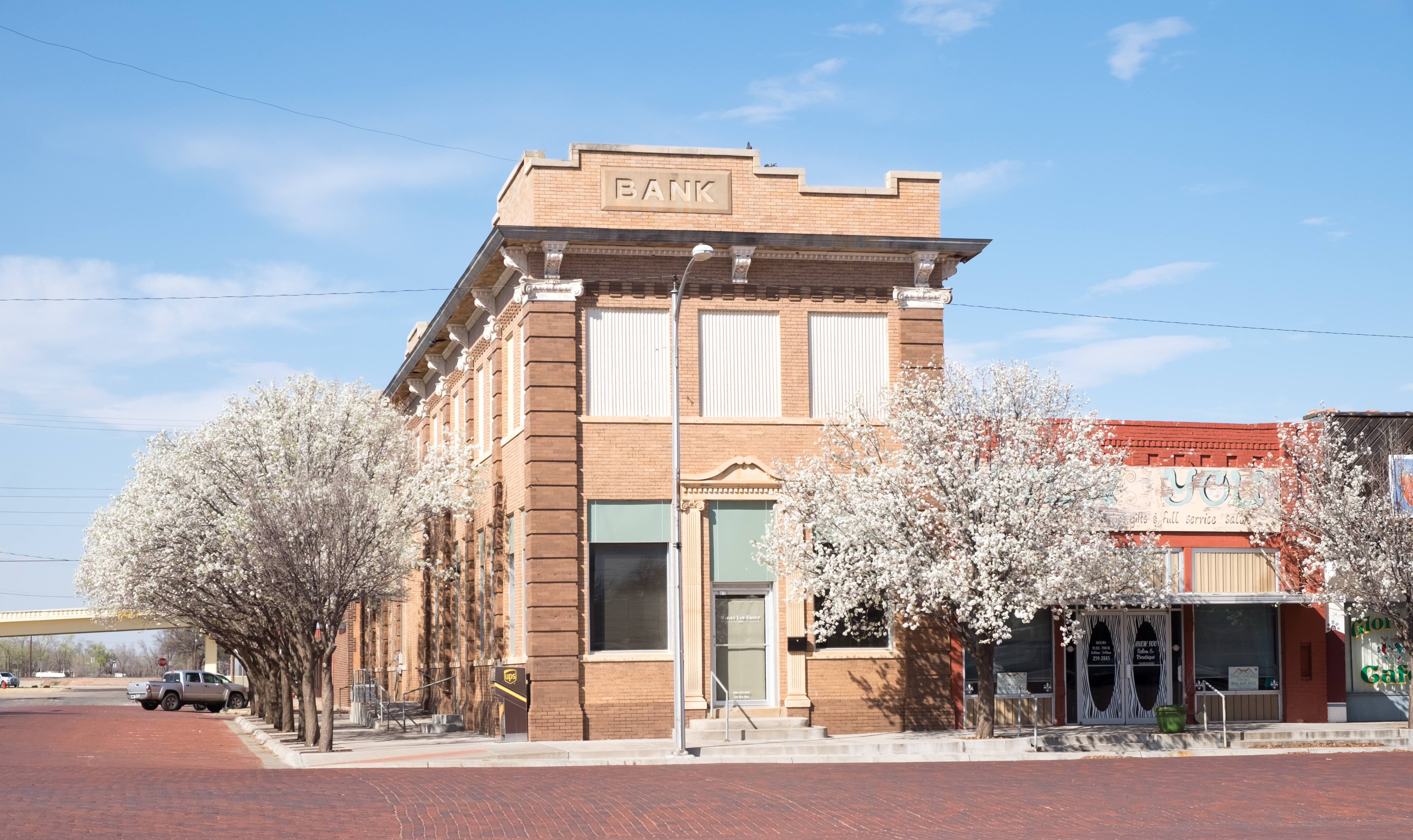
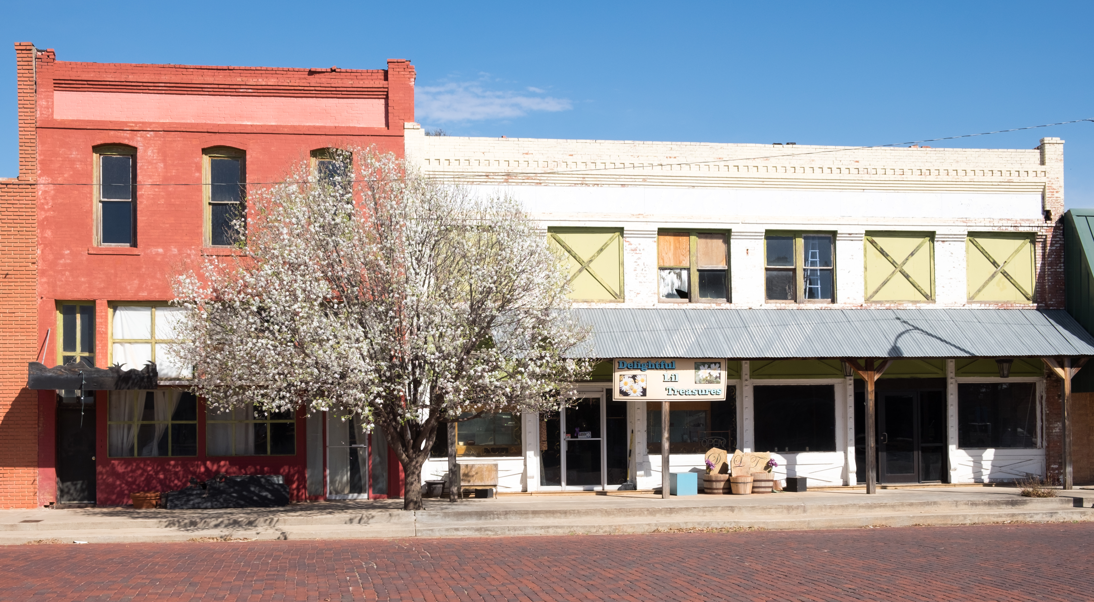
So now I’m kind of at the base of the Panhandle, in the east, and headed next for Childress, which, other than Dalhart, Amarillo, and Plainview was the only place I could have named from the Panhandle before this trip. I’m beginning to breathe a sigh of relief, thinking that surely the insufferable winds (let’s remember, those have been our constant companions since Dalhart) will now begin to abate.
Memphis to Childress turned out to be the worst leg of the entire trip, from the wind point of view. I could not even take photos because the dirt was blowing across the highway looking like red cirrus clouds. But to Childress I did, in due course, arrive:
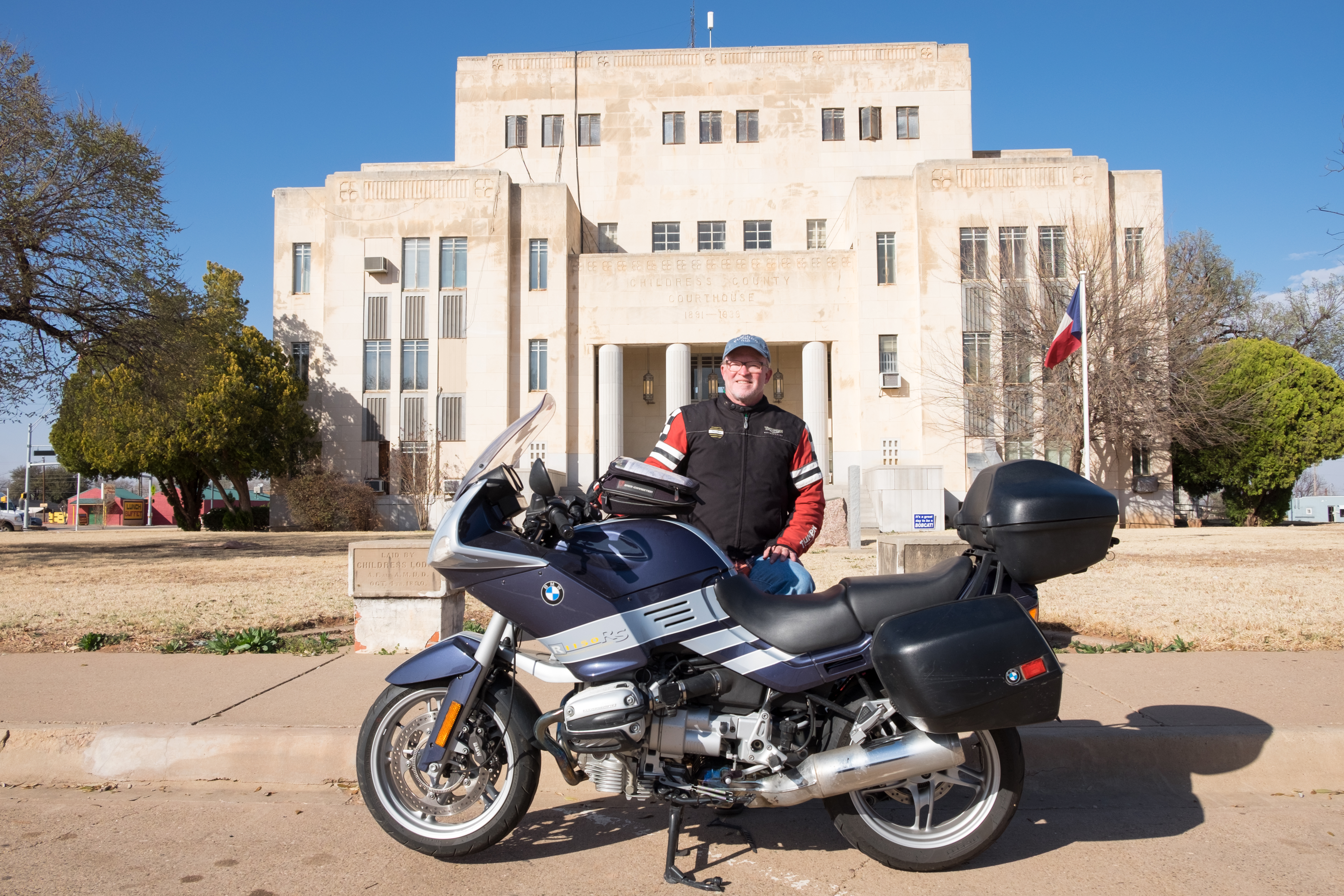
From Childress to Quanah, seat of Hardeman county. I’ve been doing some genealogical research lately, and have discovered that some of my maternal ancestors may have started their gritty life journeys from Hardeman county. So I’m resolved to explore a bit more than usual. But first stop, as usual, the courthouse:
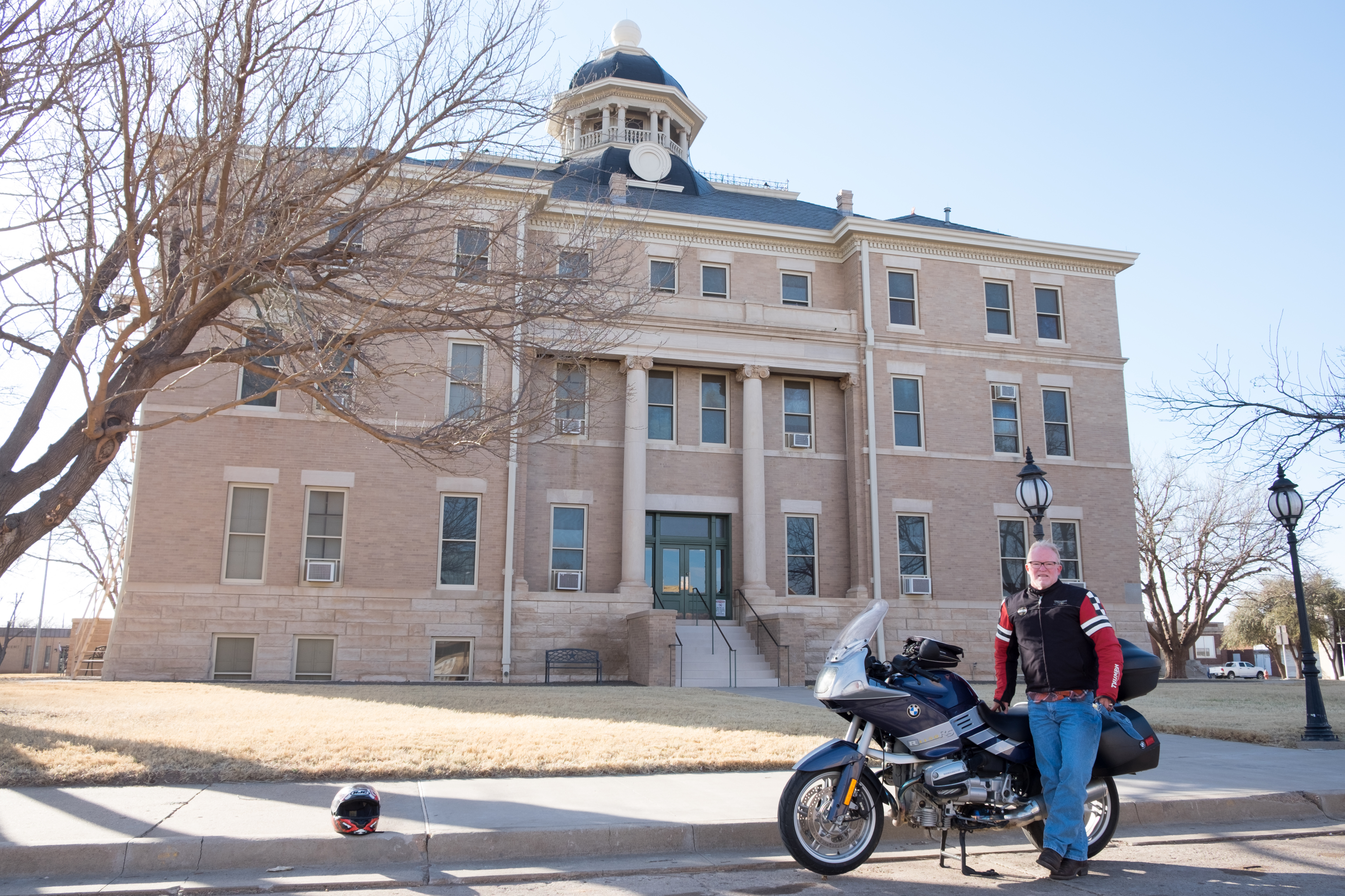
It turns out that the town of Quanah was named for the Comanche chief named Quanah Parker. Quanah Parker’s mother, Cynthia Ann Parker, was an Anglo who had been captured by the Comanche when she was nine years old. She was raised as a Comanche and became the wife of a Comanche chieftain, Peta Nokoni, The Texas Rangers eventually recaptured Cynthia Ann Parker and took her away from the Comanche, against her will. Her son, Quanah Parker, never saw her again. Quanah Parker fought against the US for years without ever being defeated. Realizing, however, that the tide of history was against him and the Comanche, he took the remnants of his group of Comanche to Fort Sill, Oklahoma, where he surrendered to the American authorities in the spring of 1875. Before he reached Fort Sill, he dismounted from his horse and released him to run free, declaring “there goes the spirit of the Comanche”. I believe it is true that every single treaty that the US authorities ever signed with the native Americans was broken, to the disadvantage of whatever tribal group it had been signed with. In other words, every single time the Americans gave their word, they broke it. You can’t have a reality-based perspective of America’s place in history without taking this into account. Not to mention, of course, the whole slavery deal, yet another story….
I was supposed to go south from Quanah, but because there was still light, I decided to proceed to Chillicothe, a small town near the Oklahoma border from which I believe my maternal great-grandfather may have come. Here’s what I found in Chillicothe:
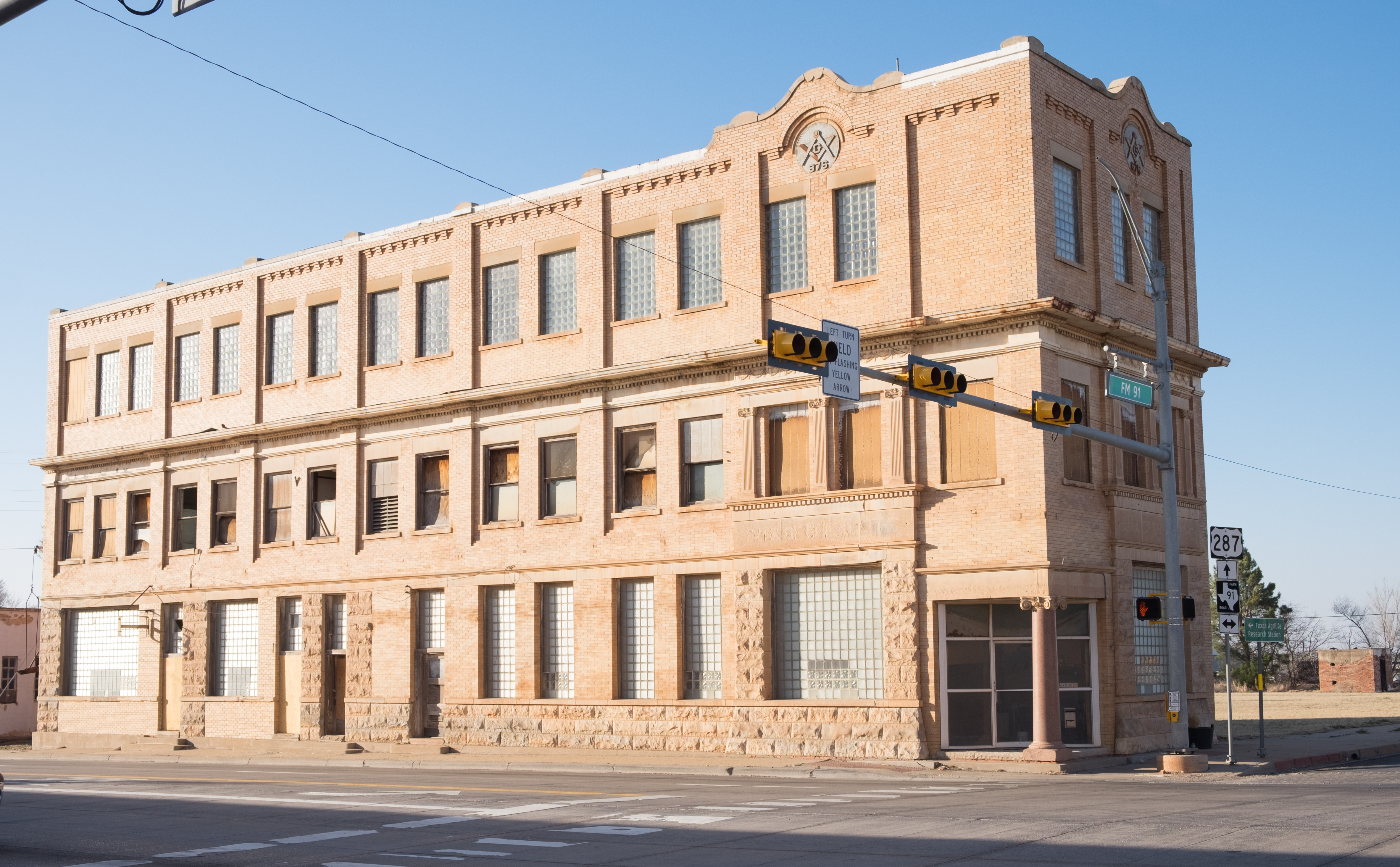
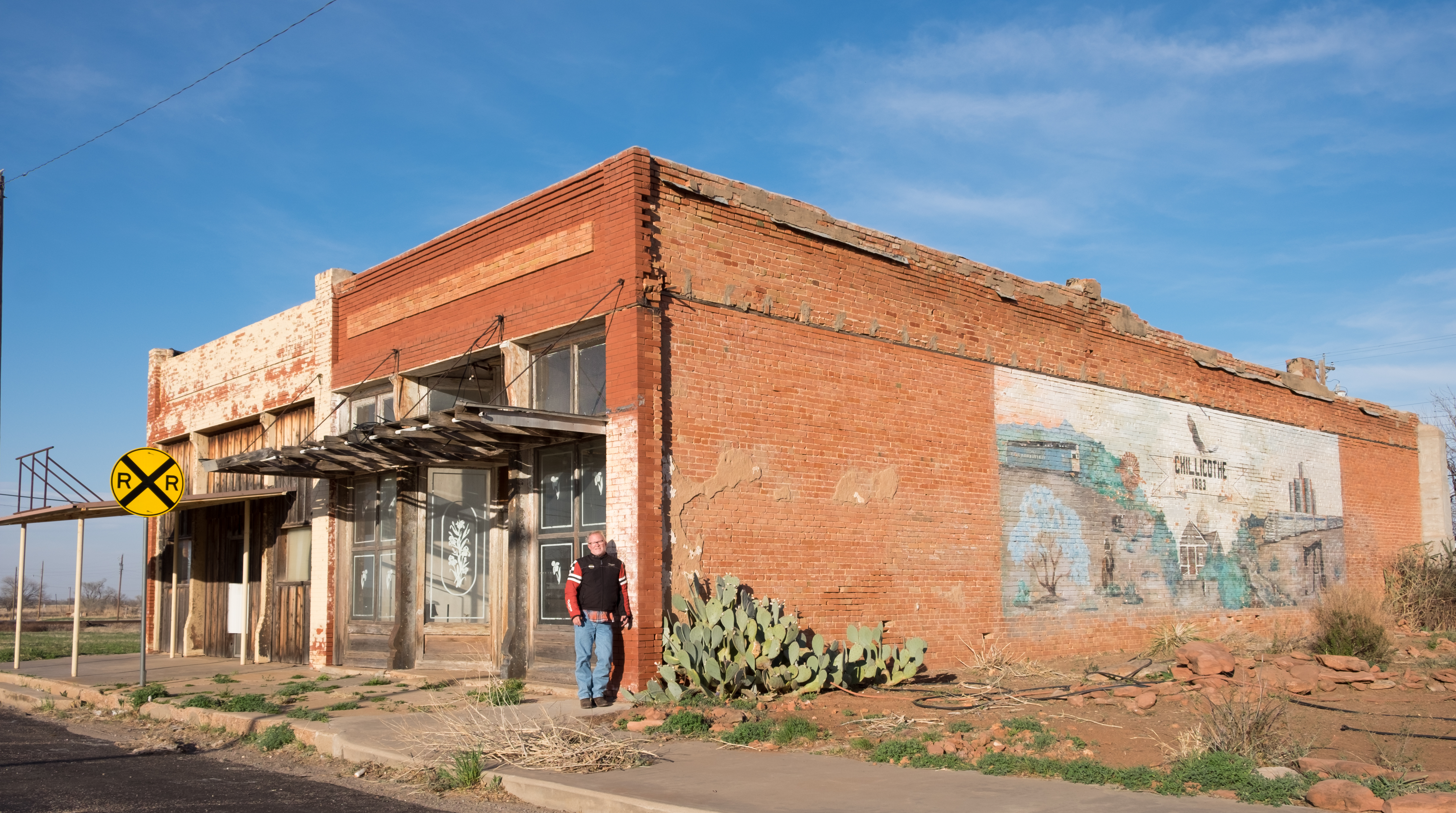
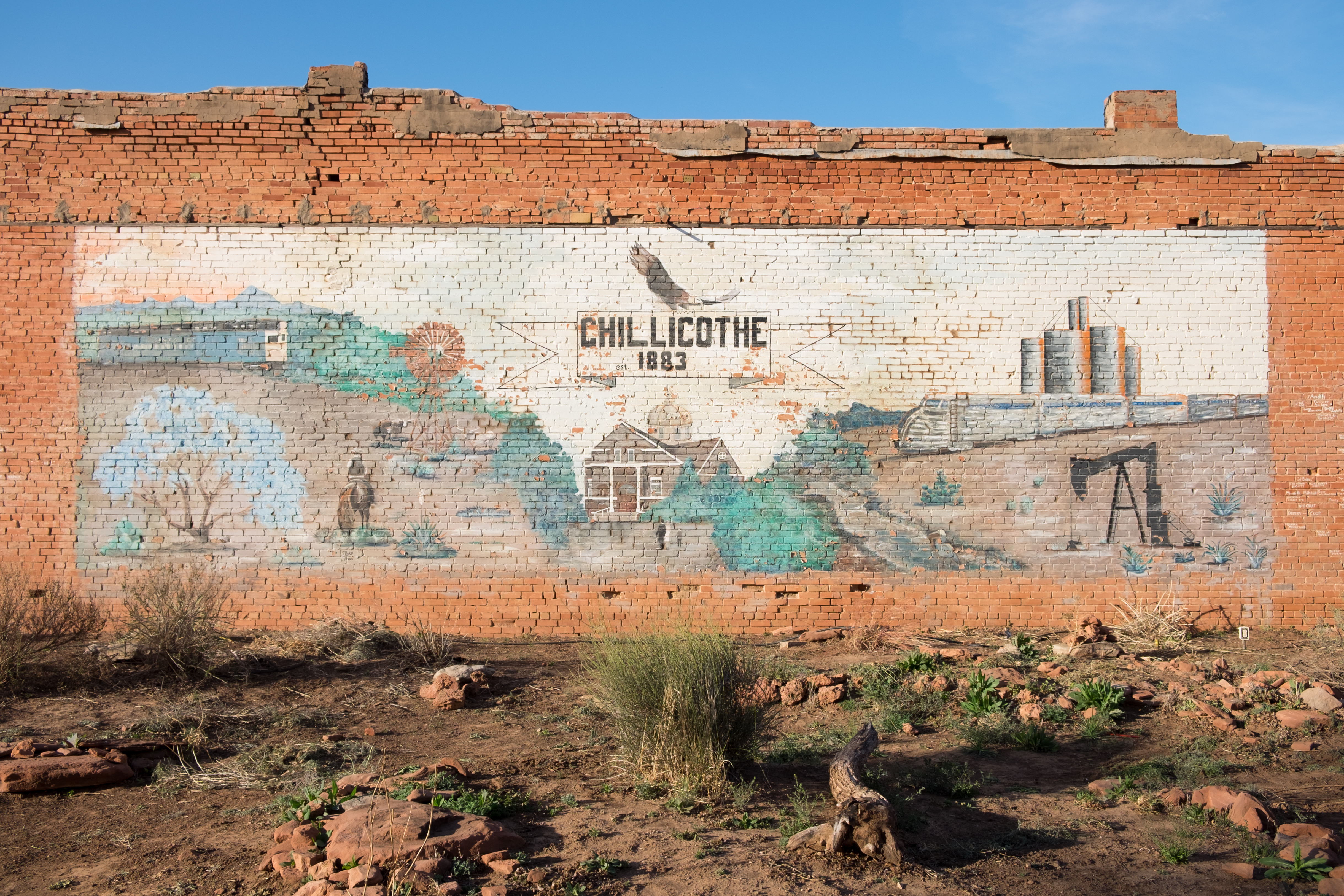
I inquired around, and found the whereabouts of the Chillicothe Cemetery, where I went to see if I could find some Taylor graves. No such luck, but it was a beautiful high plains place:
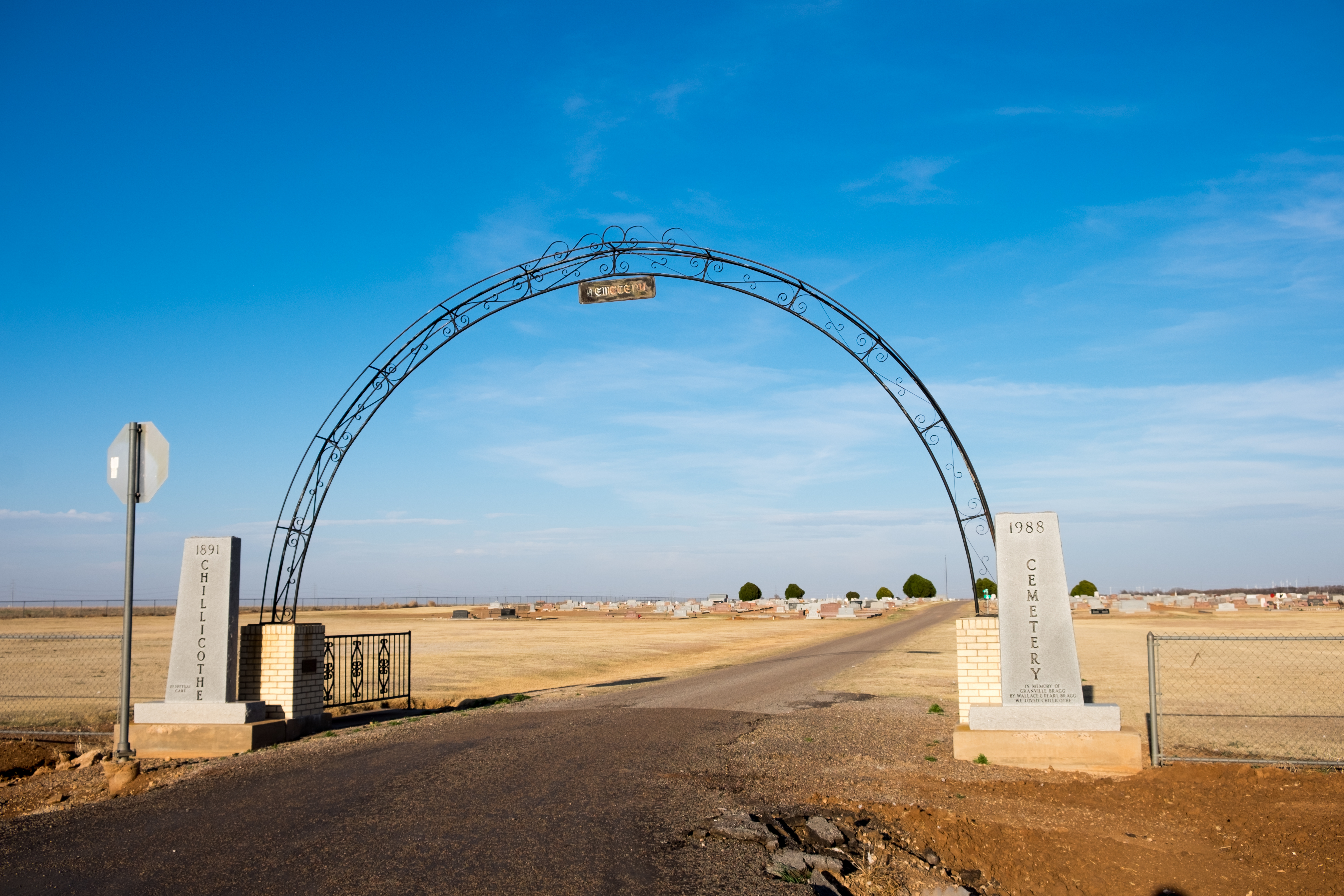
And so the day ended. I was supposed to head south, but instead headed east, with the sun, and wind, at my back, and I overnighted in the town of Vernon, seat of Wilbarger county. Tomorrow, headed back west first, and then due south, home to Wimberley.
Some really great photos. The cattle in Bovina reminds me of Bartertown, and I imagine smells as close. I share your enthusiasm for your favorite photo from this leg – that one bedraggled house with windswept trees surrounding it, almost like they’re dancing around it in effigy. And what a unique photo of earth- pop 1612. Probably a joke to be made there.