When I decided to launch this long trip, the decision was based on the weather. I knew that it would be cold, initially, but expected it to warm up gradually through the week. And remain dry. So much for planning.
I left Wimberley for the 600+ mile direct trip to Dalhart on a sunny, cold March morning. Temperature in the mid-40’s. Before I had gotten to Blanco, 20 miles away, the sun had vanished and the chill factor began to set in. By the time I stopped for lunch in (aptly-named) Winters, I was frozen. Knees knocking, fingers unable to unsnap jacket and helmet fasteners. I was not stopping for courthouses and photos along the way because the objective for this first day was simply to get to the starting point of the Panhandle trip – Dalhart.
Once you get on the plains, the sky is so huge it gives you (me) vertigo. When, while riding the bike at speed, I’d look up, or over, it was completely disorienting, and I had to quickly return my attention to the road ahead. In summer of 1978, I was a student pilot and before completing my instruction and getting certified, the instructor, an F4 pilot from Vietnam, took me up to 5000 feet to practice stall and spin recoveries in a Cessna 152 from which all the flight instruments had been removed (they don’t like spins). The drill is that you are flying along straight and level, and you reduce engine power and pull back on the yoke until the plane’s angle of attack is too great for the engine to power the climb, and the plane will stall, and begin to fall out of the air. To put it into a spin, just before it stalls you “cross” the controls, meaning that you apply LEFT aileron (like turning the steering wheel to the left) and RIGHT rudder (with your feet). The result of that abnormal process is that the plane suddenly flips over on its back and falls, spinning, nose first toward the earth. The purpose of the lesson is to recognize the onset of such a thing, to avoid it, and to learn how to recover from it if you are a bad enough pilot to have initiated it in the first place. My recollection of it – we did it numerous times, at my insistence – is of utter, abject terror. It is very physical – when the plane inverts and starts to fall, your stomach stays at the original altitude while your eyes no longer see a horizon, you just see the ground, spinning in a circle. That’s what it felt like when I tried to peek up at the infinite sky above me while driving at 85mph on the road north.
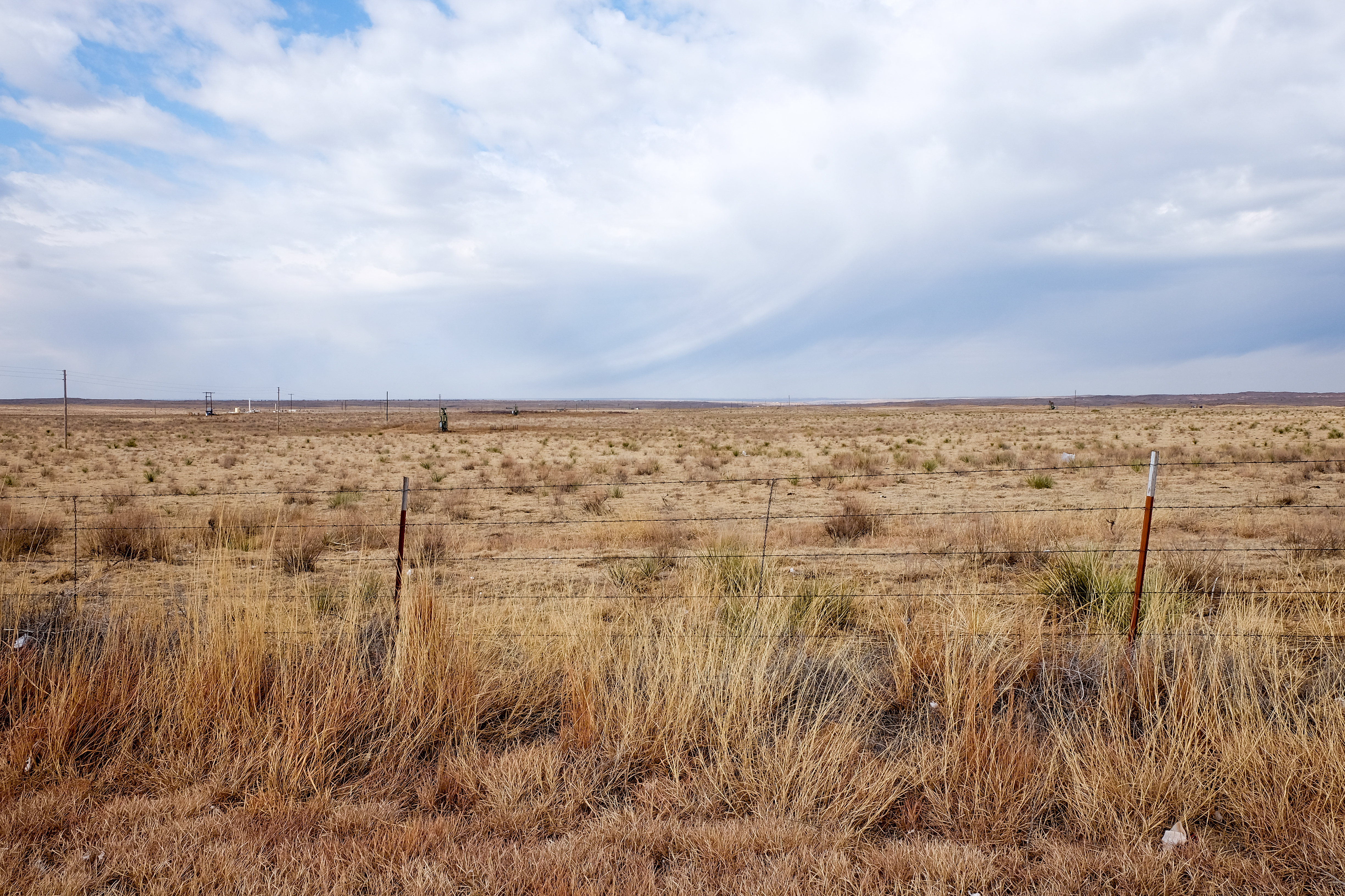
I finally thawed out by mid-afternoon, stopped at a roadside park north of Lubbock – I knew I was in the Panhandle then:
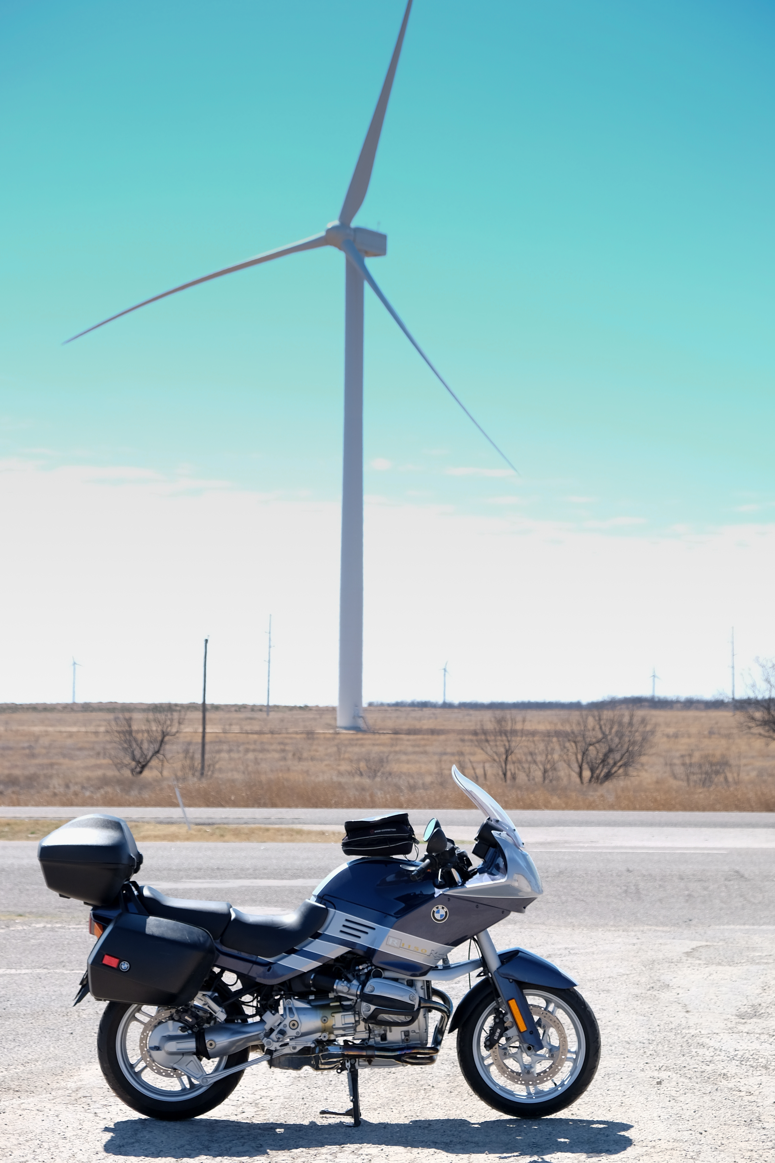
And then:

Here’s the map for Days 1 (Wimberley to Dalhart) and 2 (Dalhart to Amarillo):
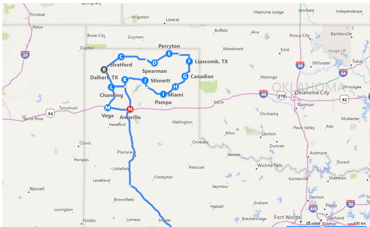
Overnight in Dalhart, nestled up in the northwest corner of Texas adjoining New Mexico and Oklahoma. This was the take-off place for 4 days of back and forth, west-to-east, jog south, east-to-west, jog south and so forth until the entire Panhandle had been covered.
On paper this seemed like a good idea. In practice, however, there are constant strong winds blowing gustily from, mostly, the west and southwest. That phenomenon became the dominant feature of this trip, as you’ll see.
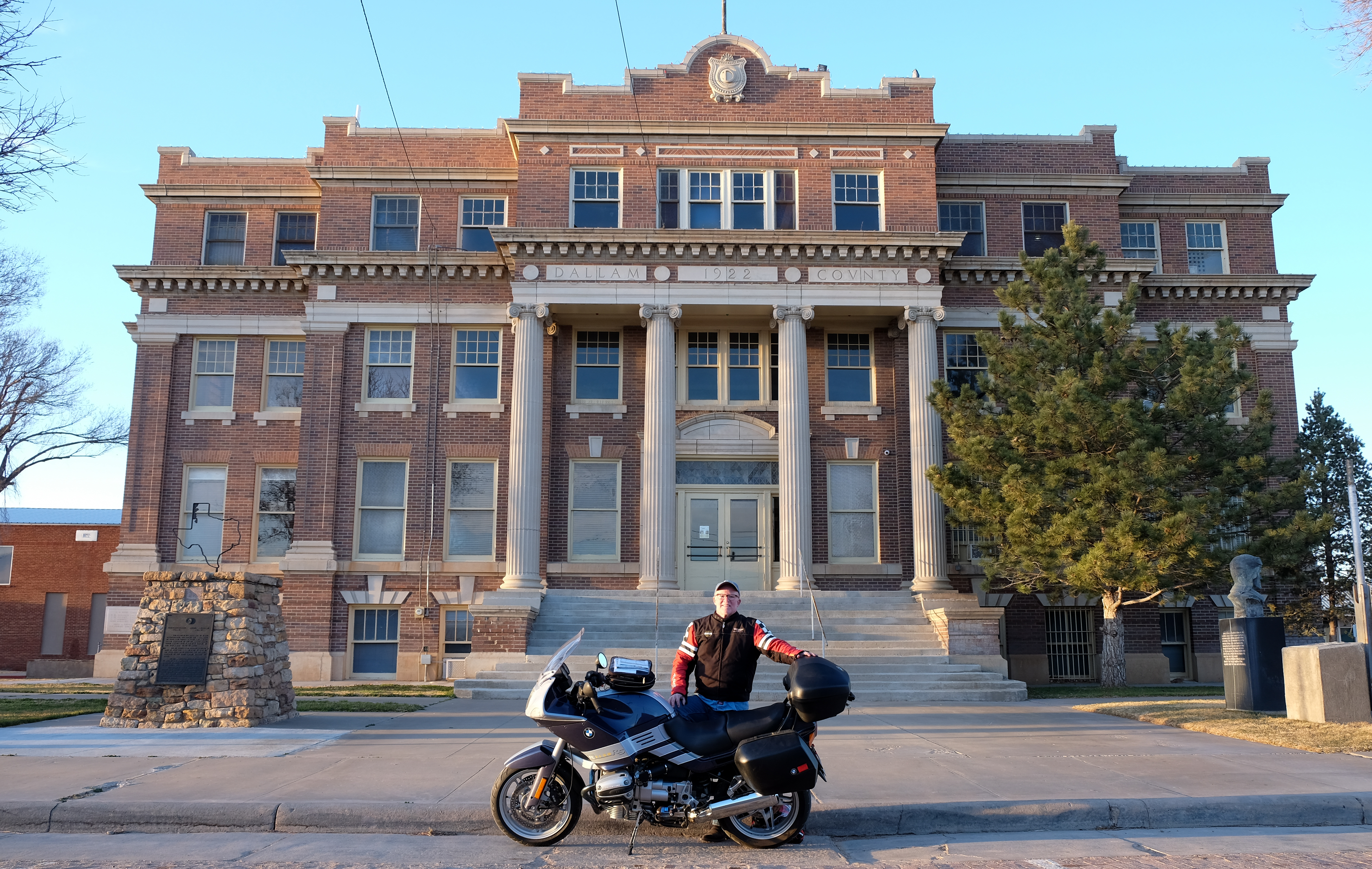
I awoke in Dalhart to a temperature of 33 degrees F, and meandered through town to the courthouse. I was already cold in the three minutes it took me to get there, and the gray skies should have given me a premonition.
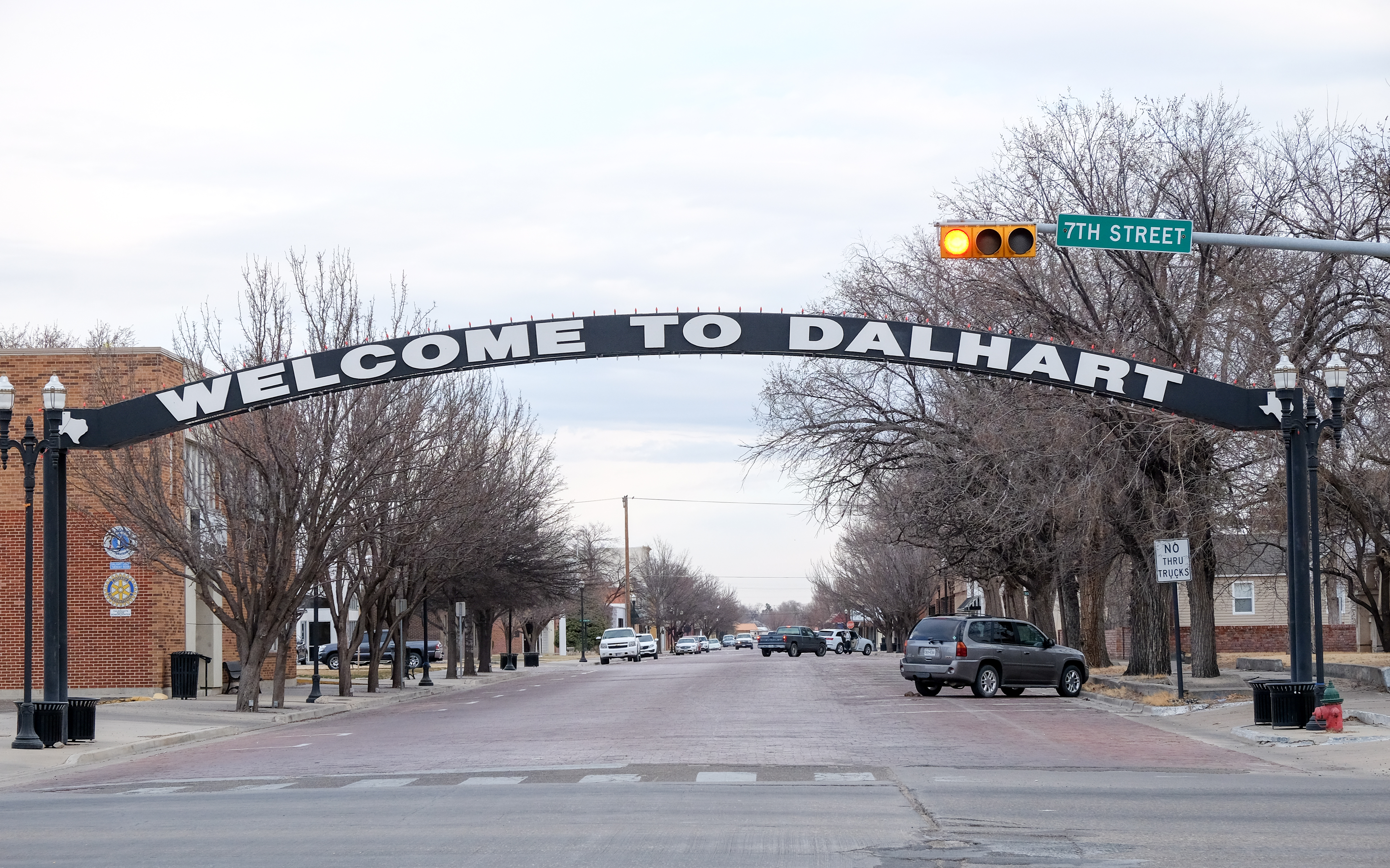
This was my first exposure to what seems to be a universal stylistic convention of red-brick streets in the downtown and vicinity of the courthouse. It is very charming, but when wet is anathema to motorcycle tires.
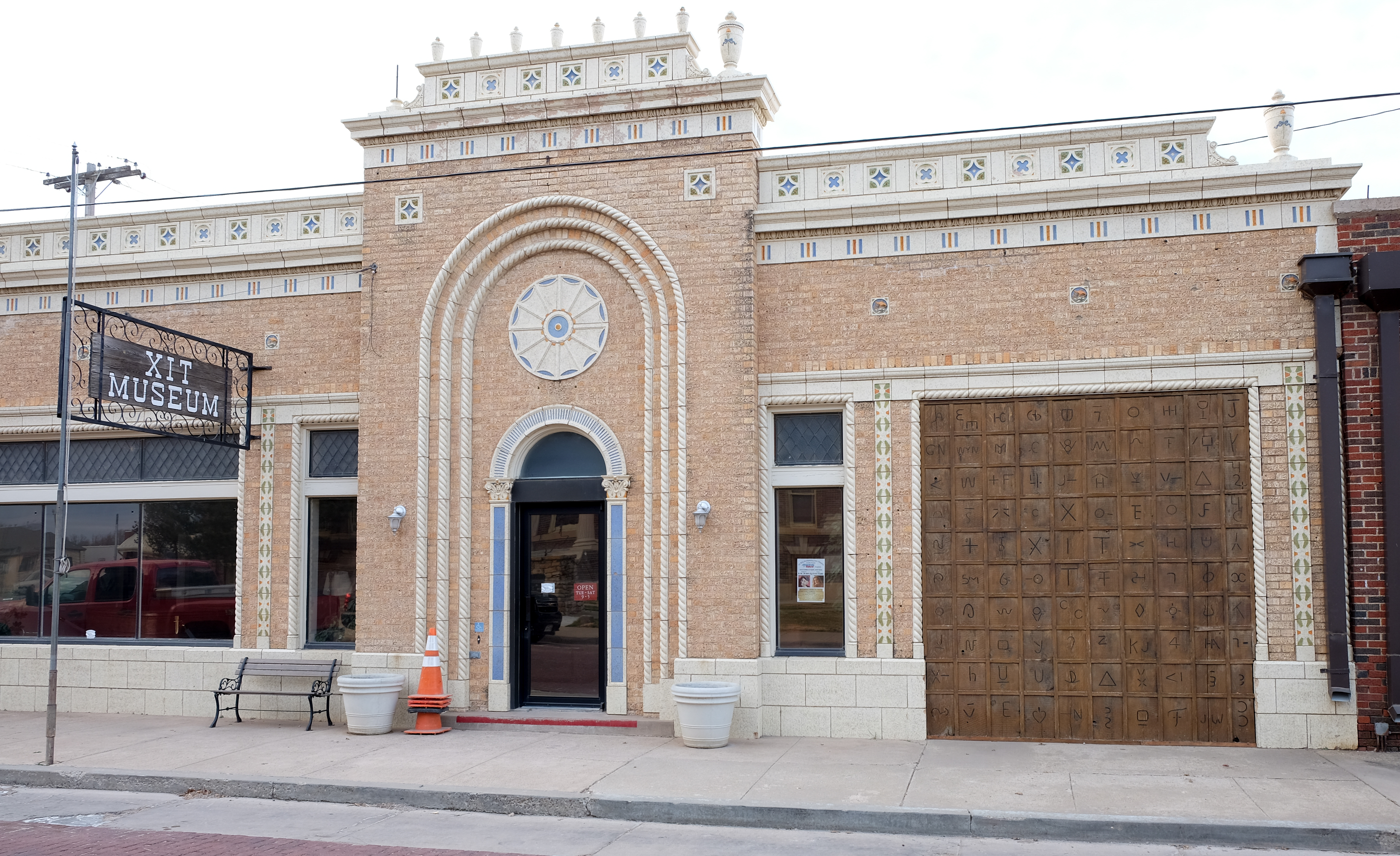
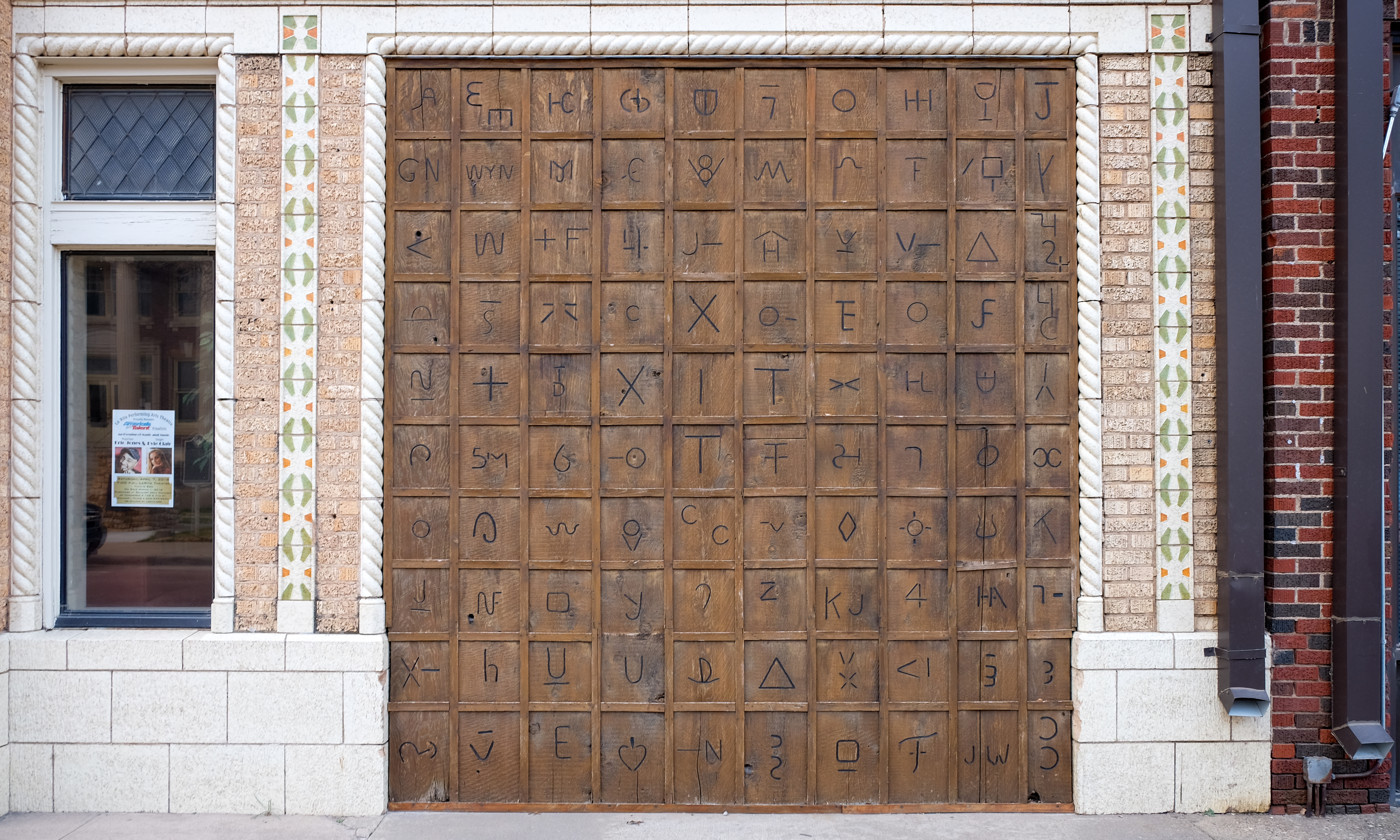
Dalhart houses the museum of the XIT ranch, a defunct ranch from the late 19th century of over 3 million acres. It was given to its owners in exchange for them building the state Capitol building in Austin. It went defunct in around 20 years, but lives on (along with the King Ranch in south Texas) in legend. On the front of the museum is a collection of distinctive brands that were used to establish ownership of cattle (heated irons with the “brand” were applied to the skin of the cattle in question). The brands were all registered with the state cattleman’s association – my grandfather had one – S7S – that we applied every spring to the new calves of his herd of registered Santa Gertrudis, up until the time I went away to college.
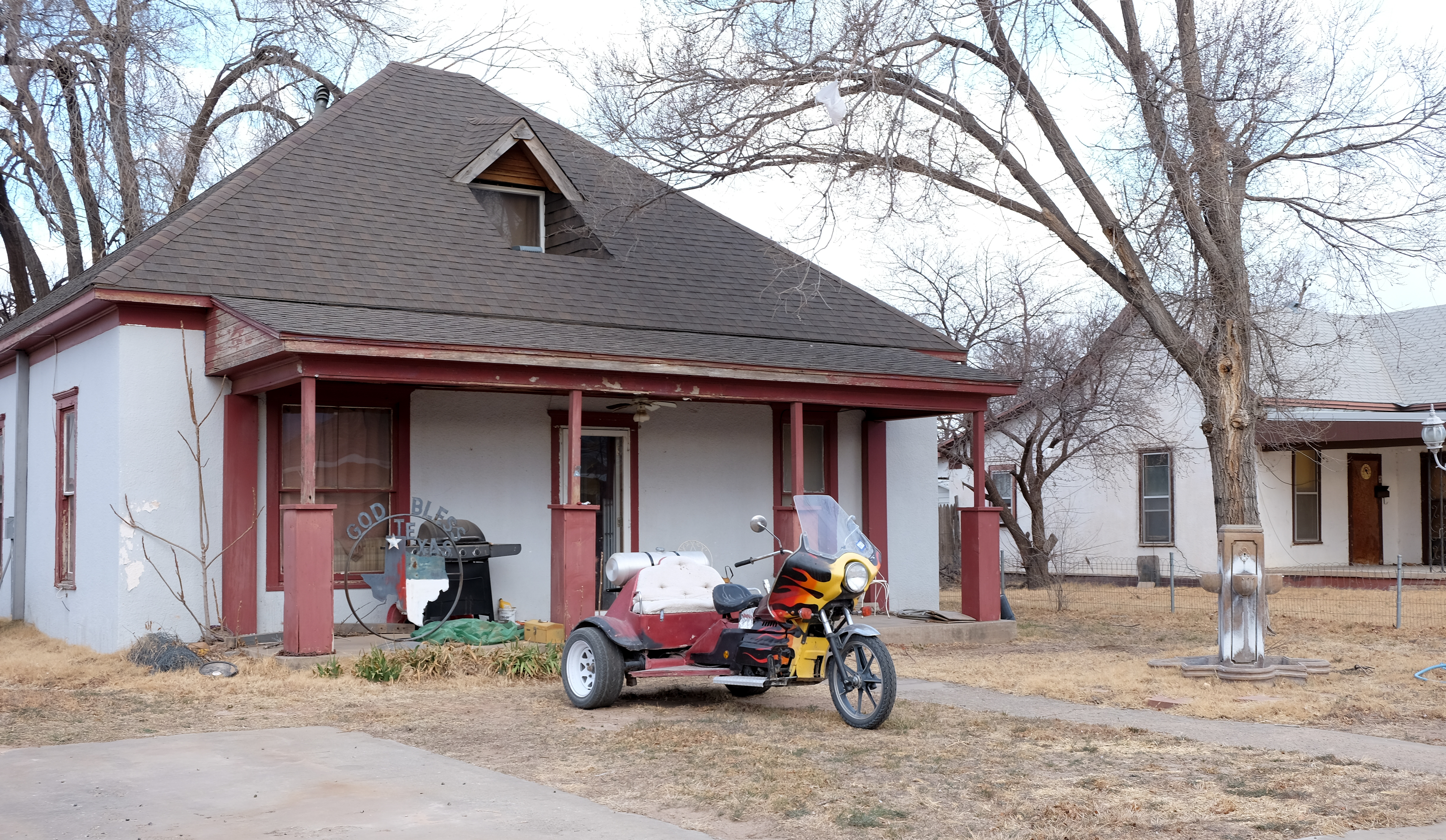
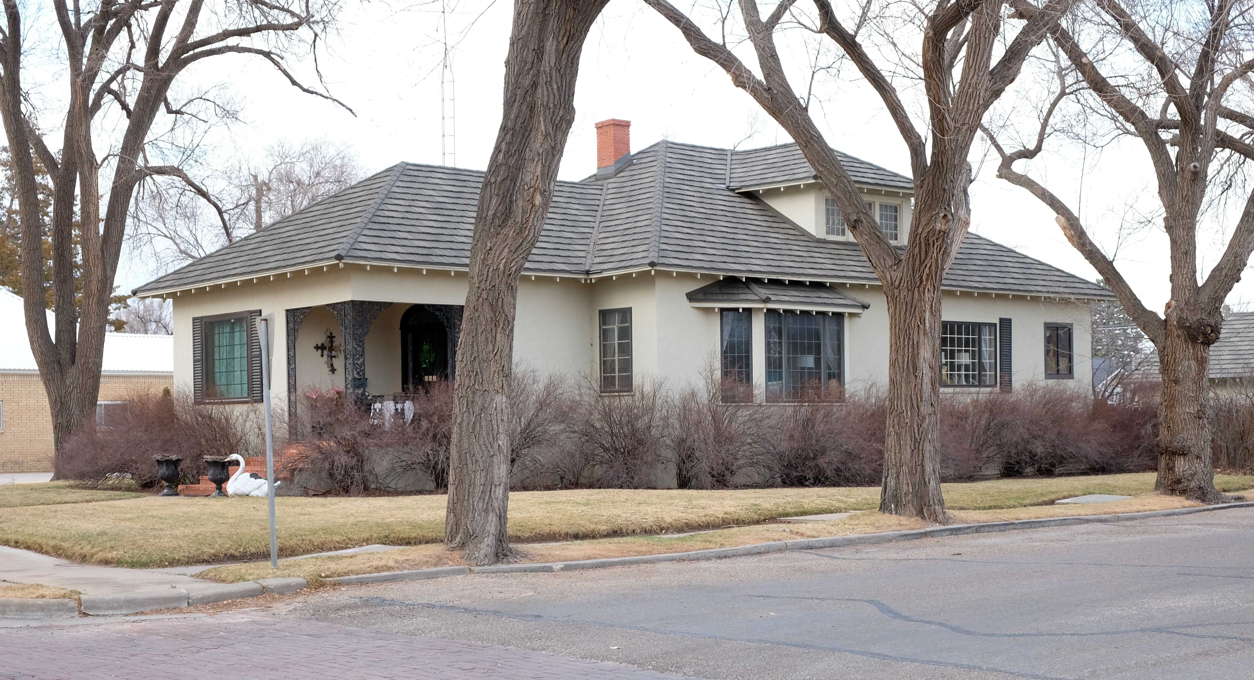
My friend Deepak asked me about how the folks were up in Dalhart. Other than hotel staff, I could not really say, but Wikipedia told me that Dalhart is ranked by a Seattle newspaper as the being 8th most conservative city in the US. Three other West Texas cities (using the term loosely) joined Dalhart in the top 10. I would not, on that basis, recommend wearing that pagdi (turban) on your next trip down here.
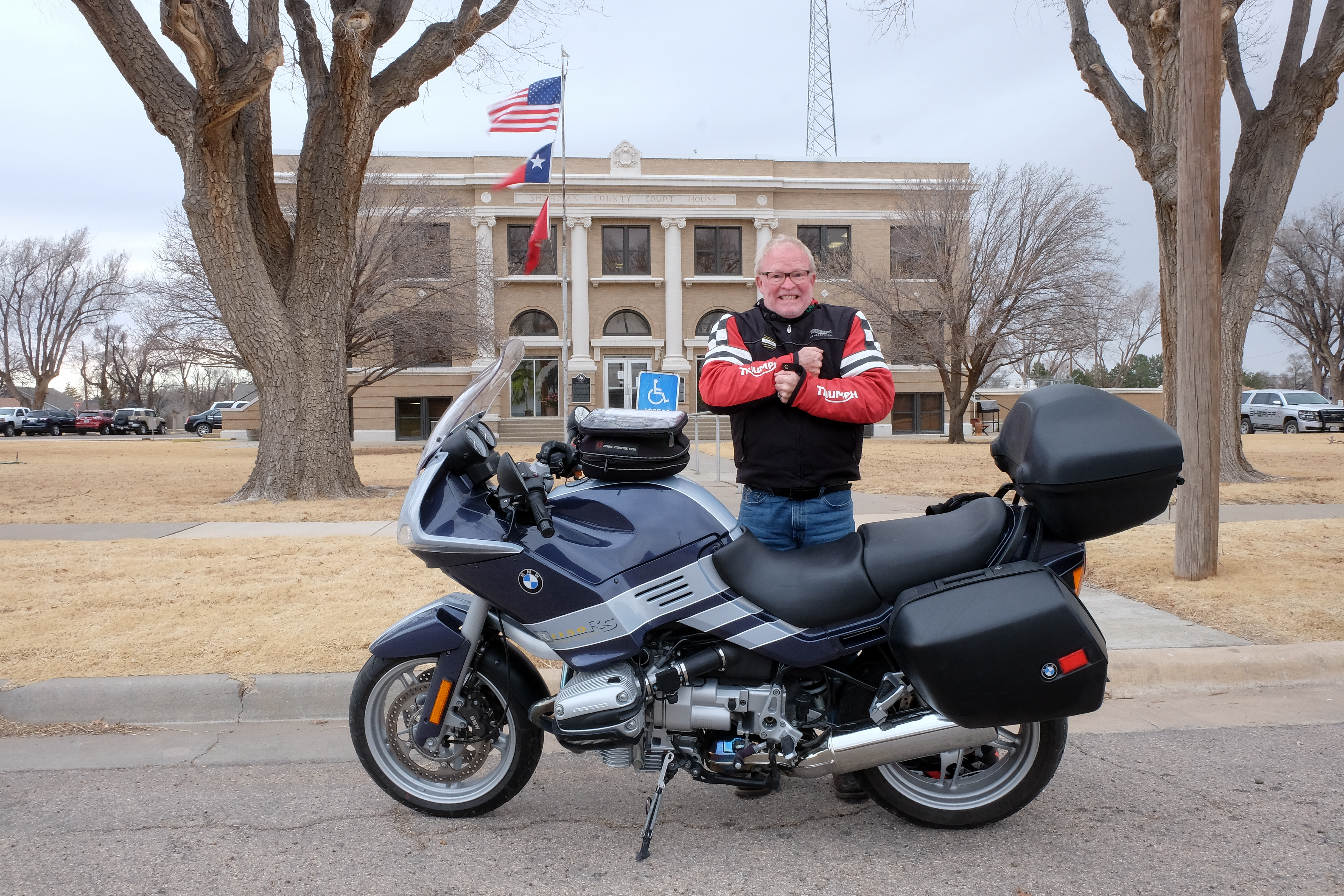
So the idea was to leave Dalhart and head east across the counties that border Oklahoma, then turn south to the next “row” of counties, and head west. Well, it was just about freezing all the way from Dalhart to the town of Stratford, seat of Sherman county. By the time I got there I was shaking so hard that it took me ten minutes to get my gloves and helmet off and get the tripod and camera ready for action. Here’s the result:
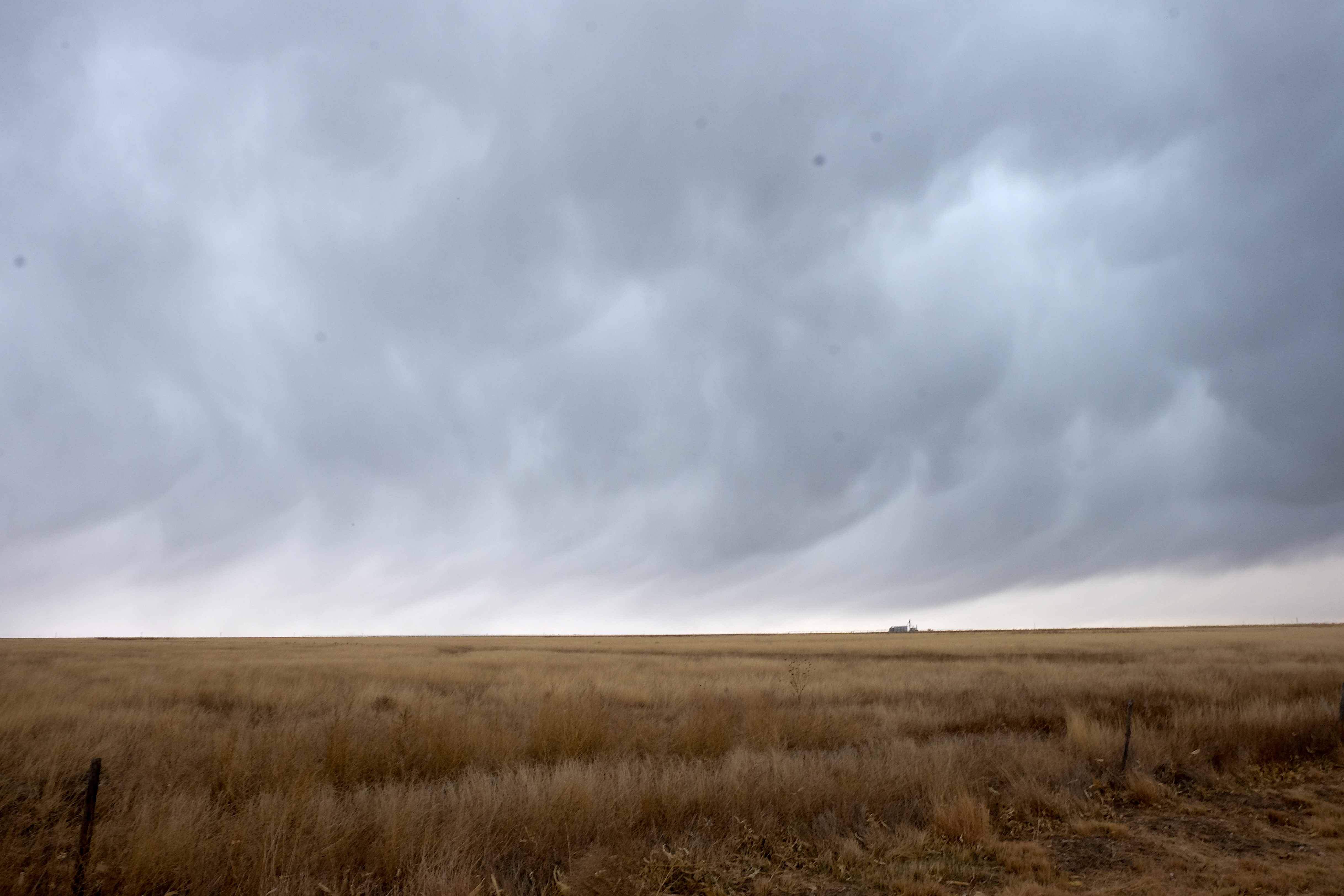
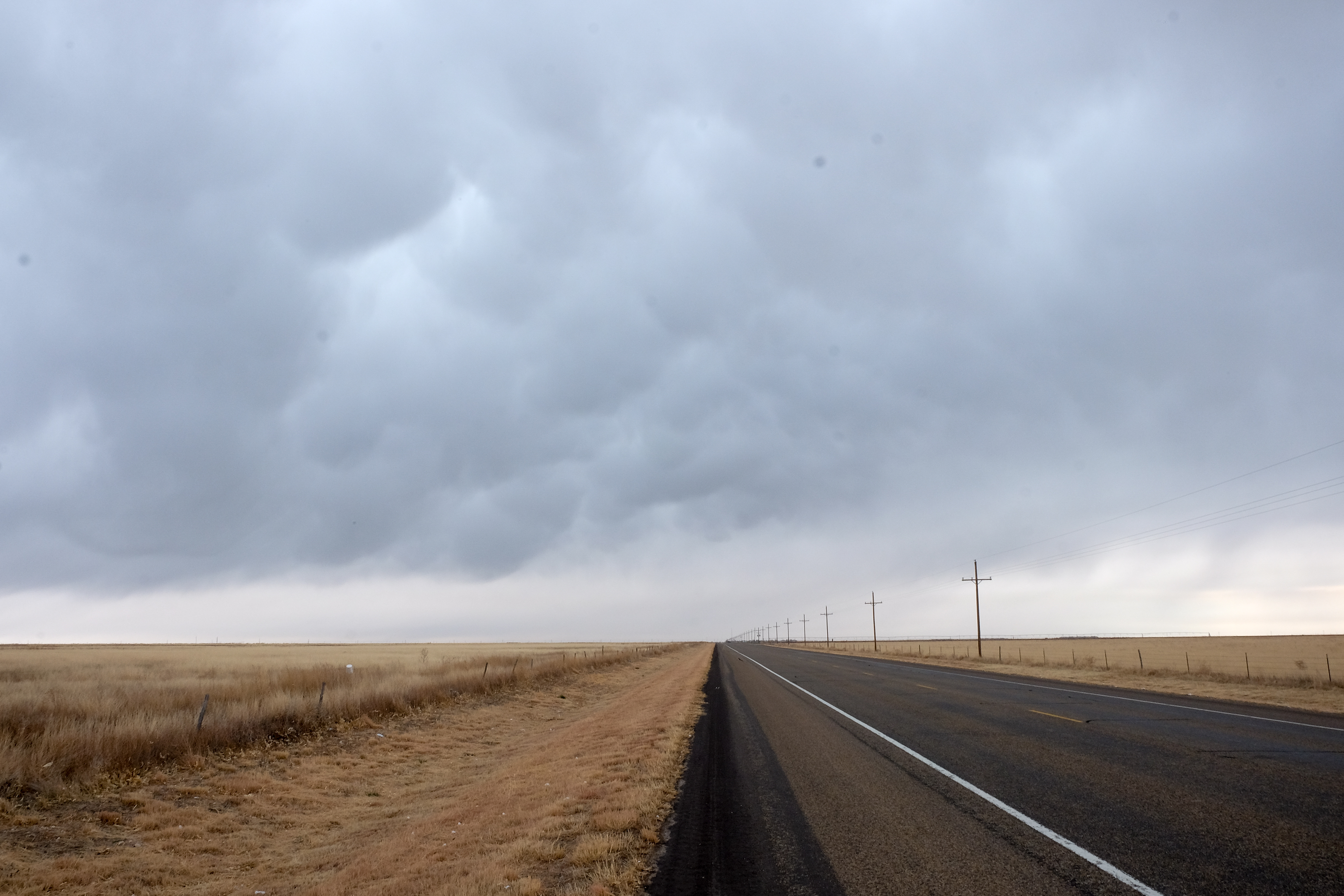
Little did I know that the worst was yet to come. I went in to a convenience store to get coffee and warm up, when I overheard a man say “it’s trying to sleet out there”. In disbelief, I stepped out the door and sure enough a good healthy sleet (frozen rain) was coming down. I drove into the sleet for 53 miles to Spearman (Spear Man, as I thought of it), seat of Hansford county. Here are some examples of what sleet clouds look like in the Panhandle of Texas:
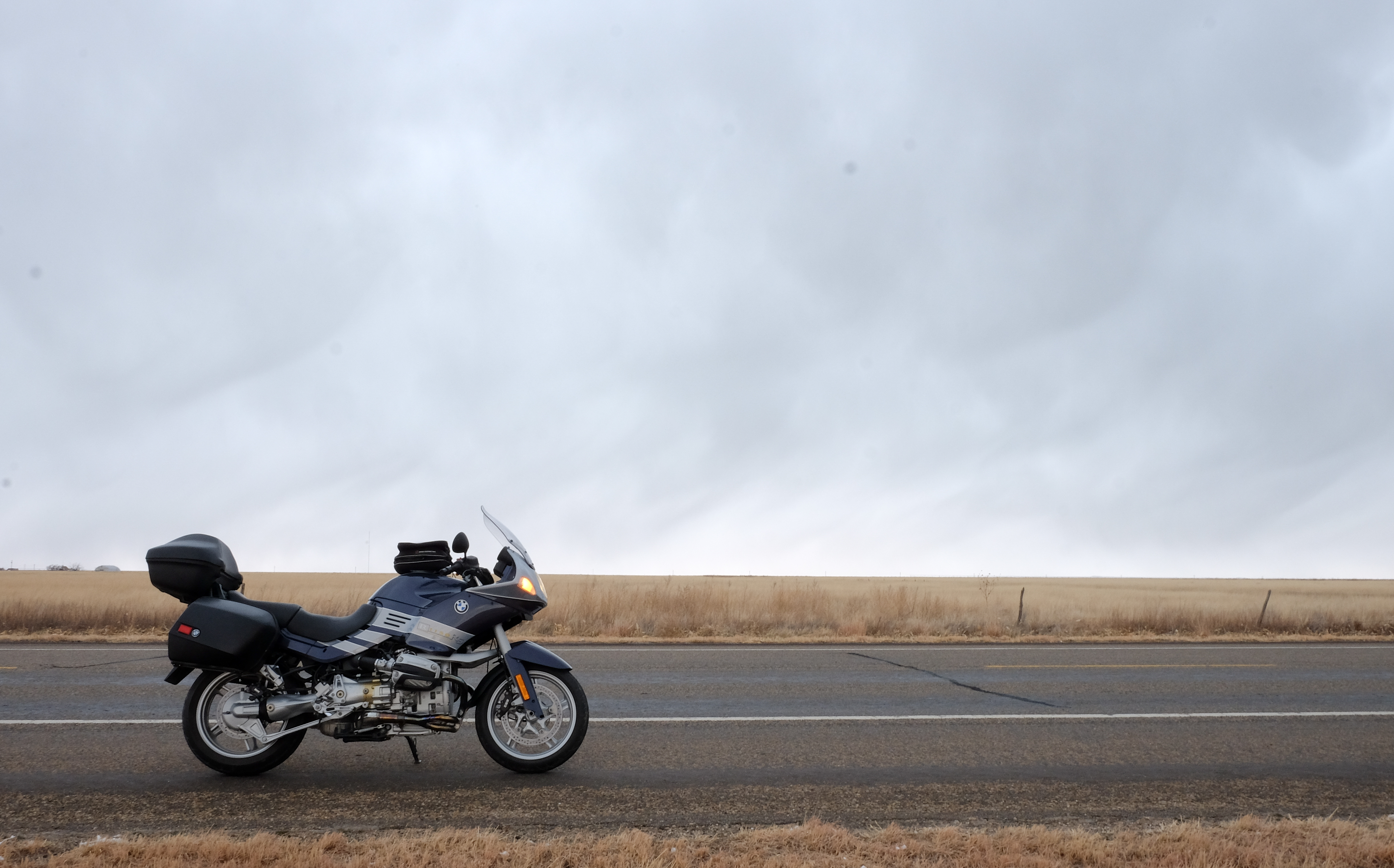
It’s not all that amusing to ride a motorcycle at 80mph through that for an hour, but arrive I did at the town of Spearman. Along the way, however, I was astonished to see the evidence of a very quirky sense of humor. I’m thinking I might have to go back and try to buy this place, it suits my style…
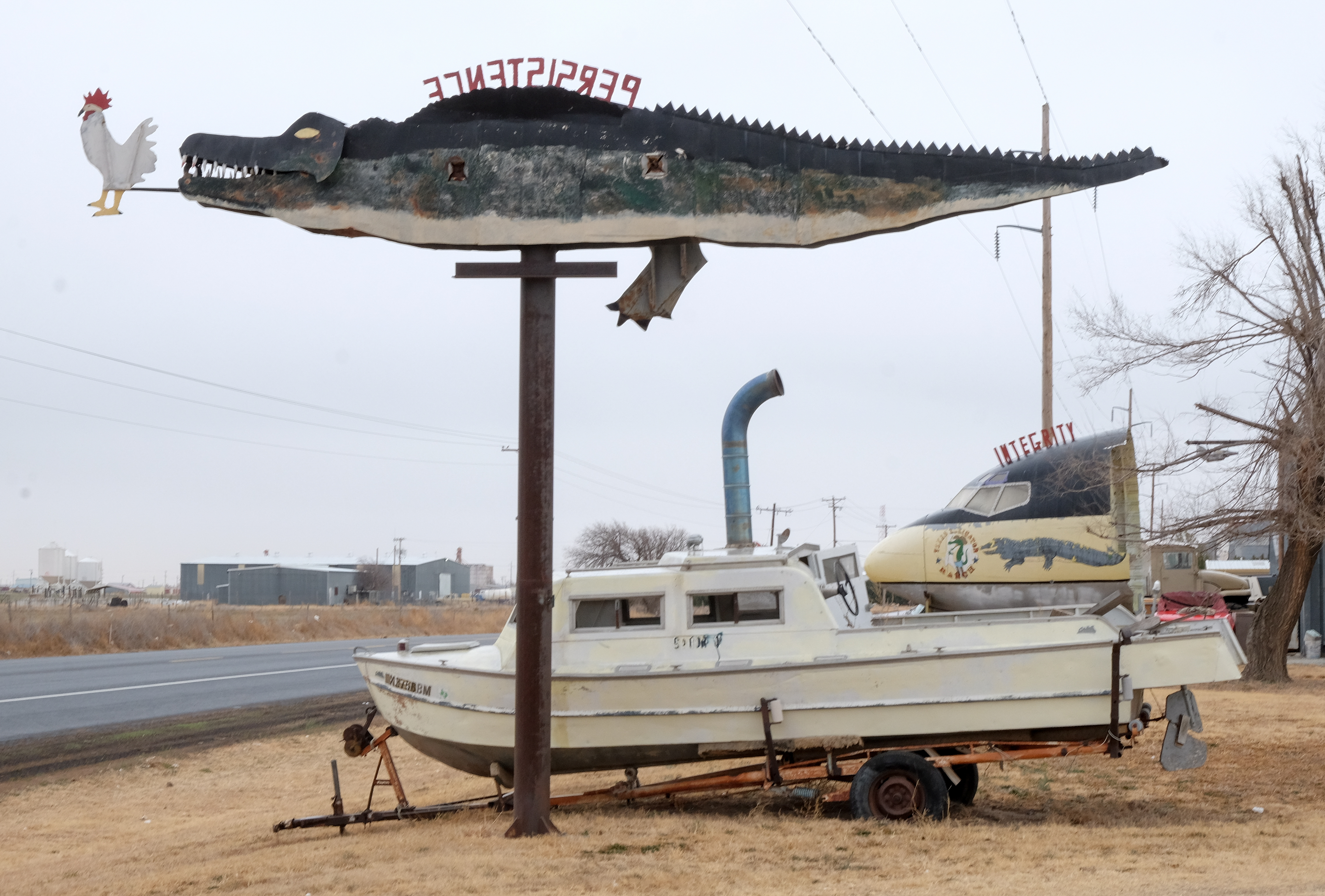
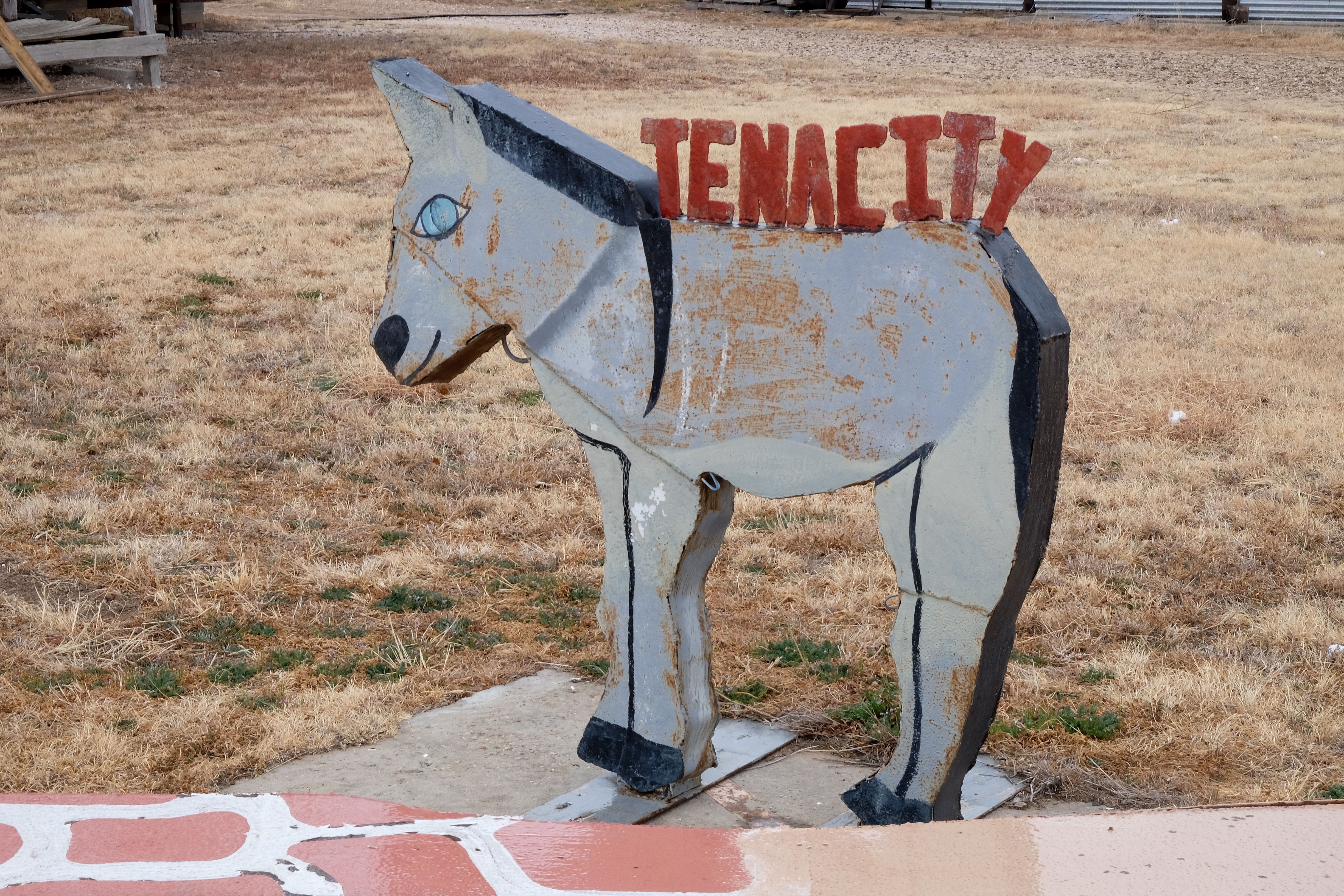
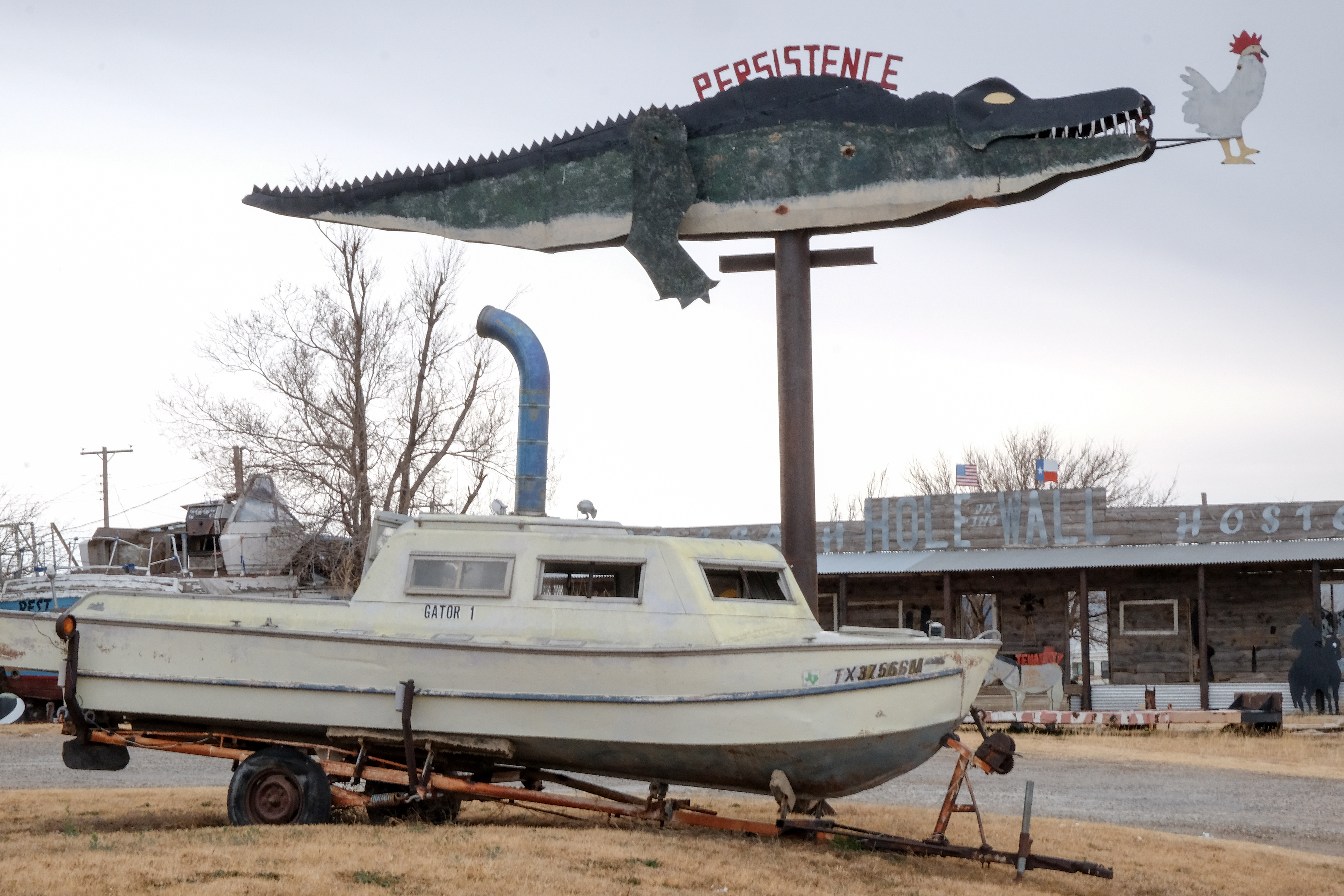
Arrived in Spearman, I was relieved that the sleet had stopped. But then it turned to rain, so my nice clean bike was about to get filthy on the first morning of the first day. Oh, and I was about to get wet. And it was still about 35 degrees. Oh well – it IS an adventure, right? 😀
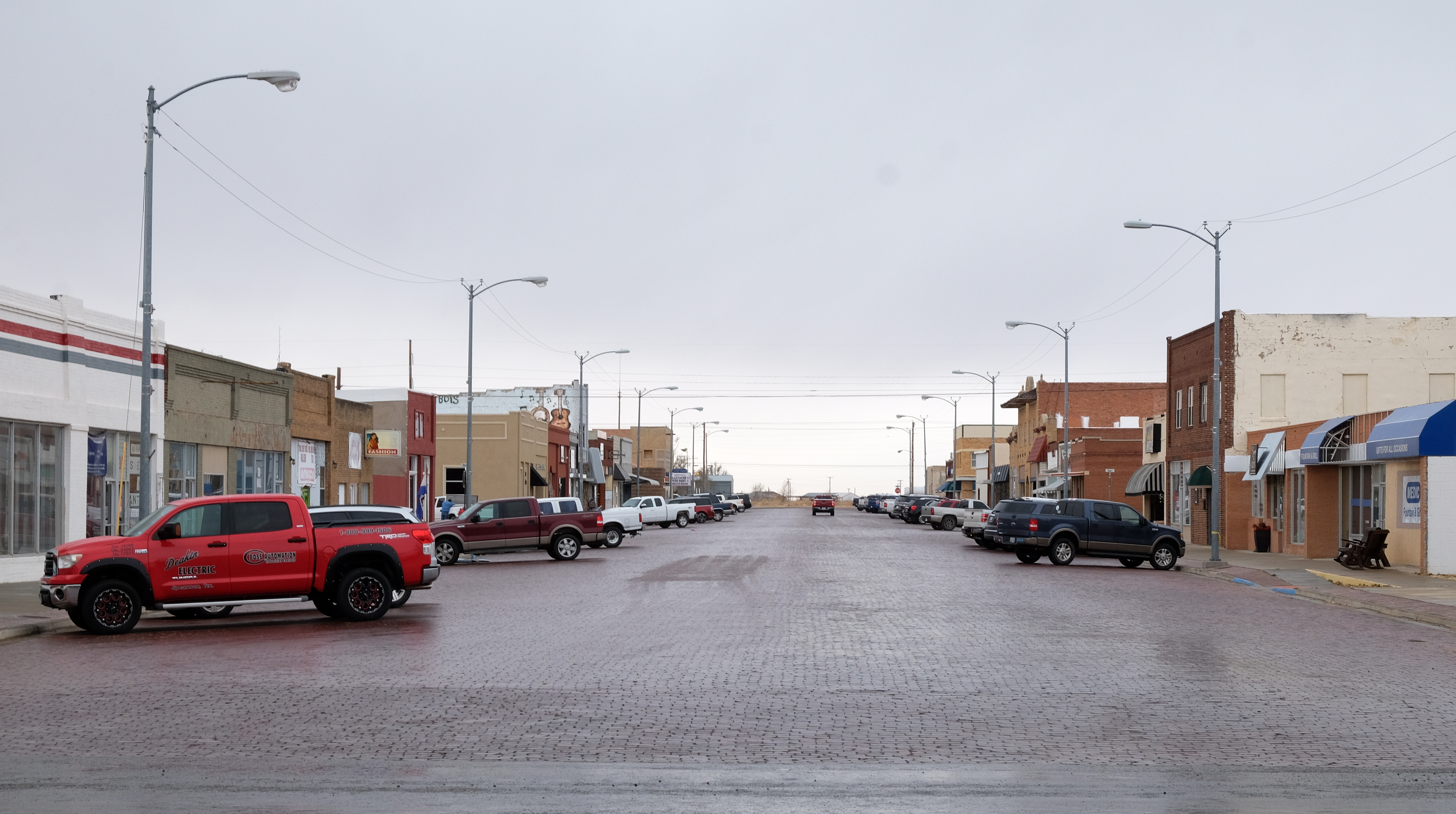
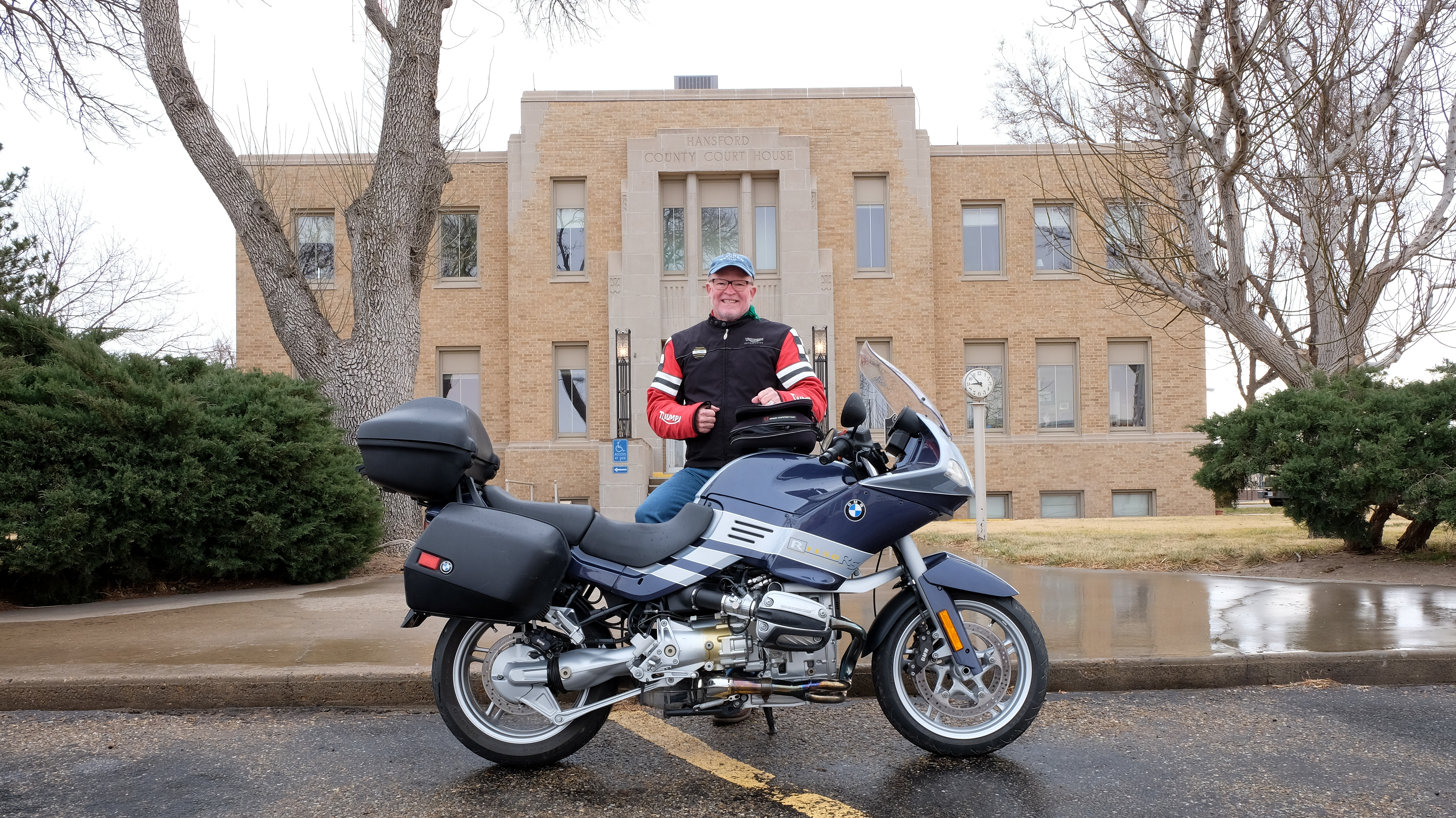
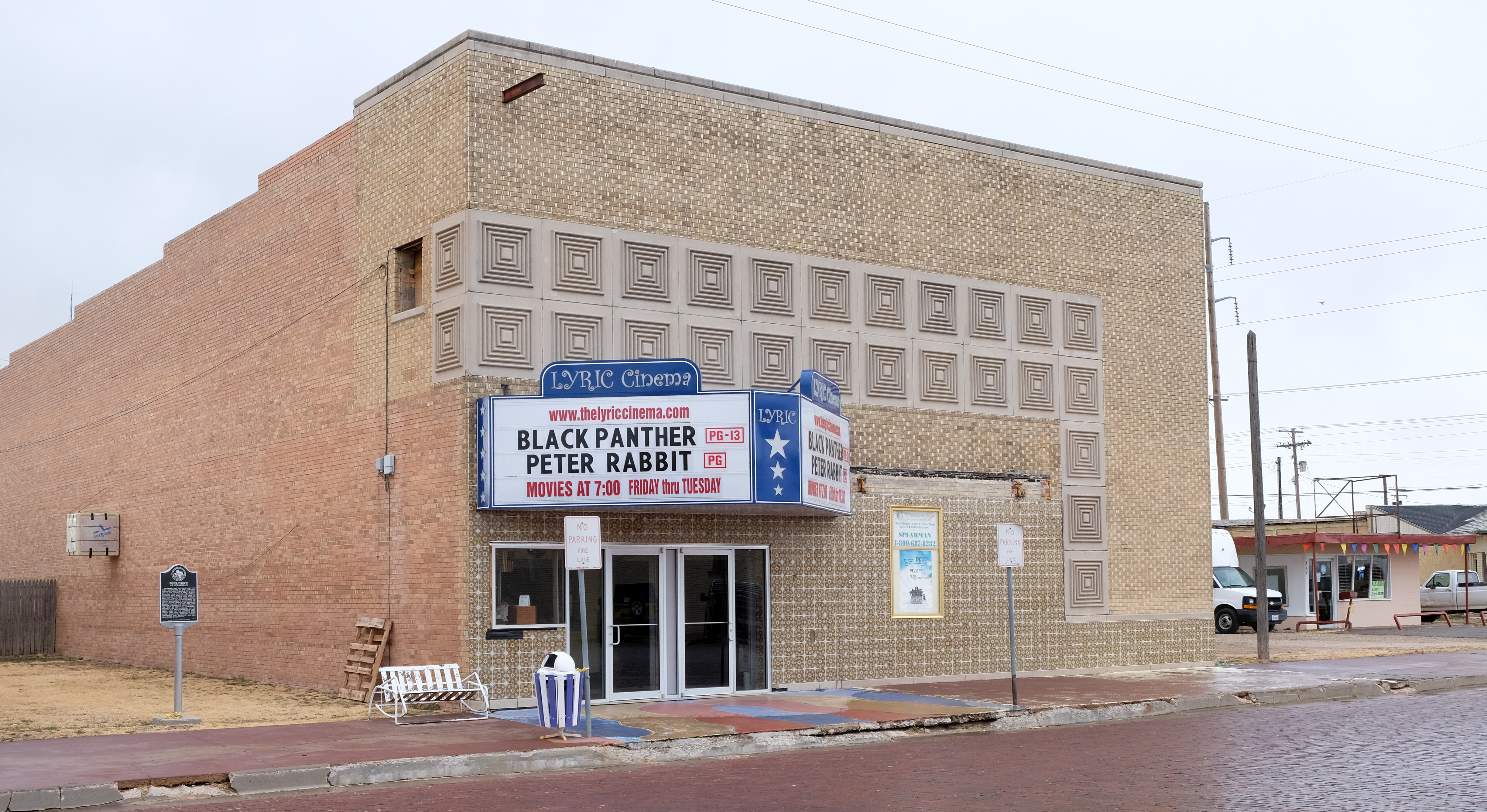
Not a place to be left behind, culturally, Spearman boasts of…
From Spearman, I made my way east to Perryton, seat of Ochiltree county. By the time I got there, the rain had ceased and all I had left to contend with were cold and wind. That seemed like a good deal at the time…
Perryton is actually city-like:
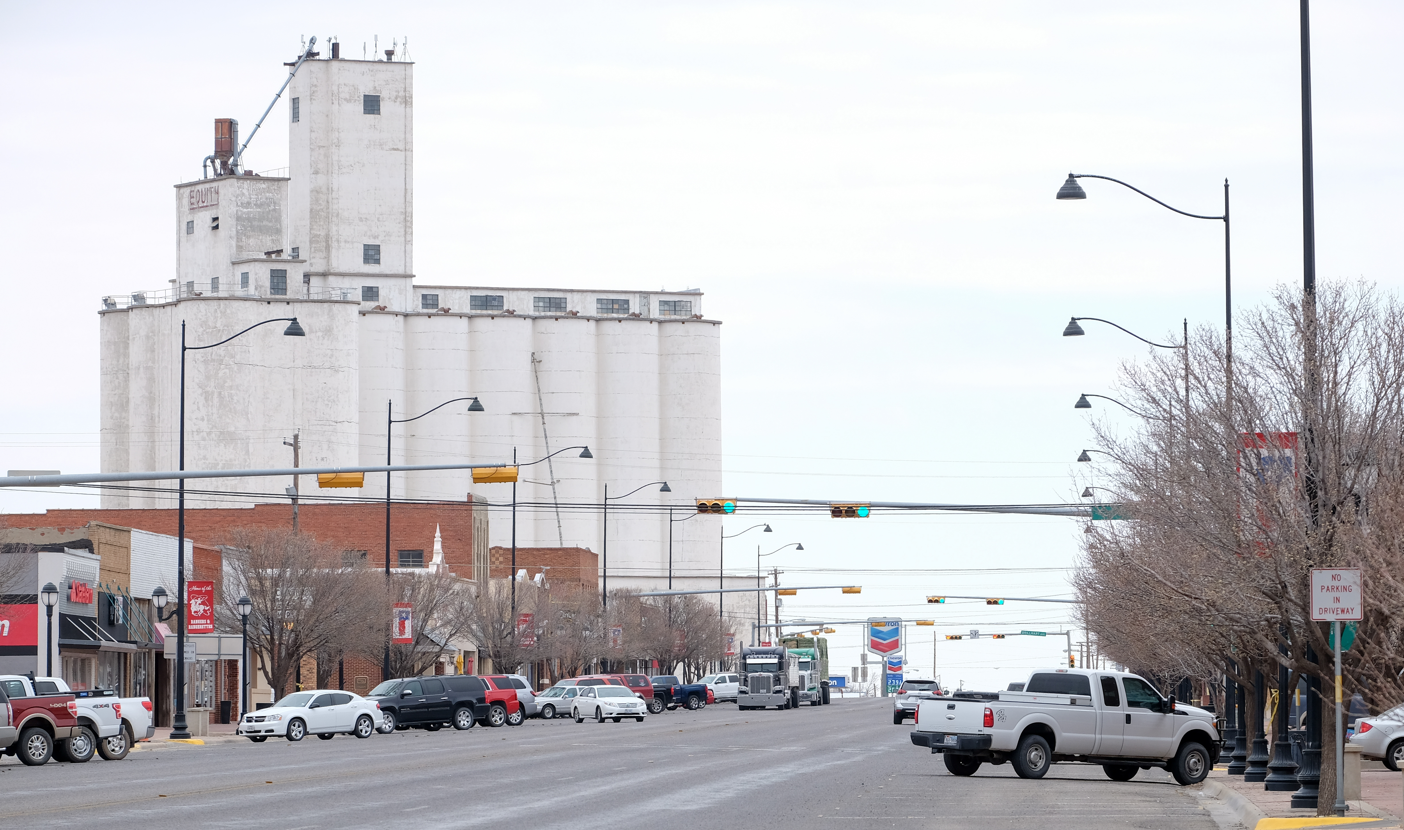
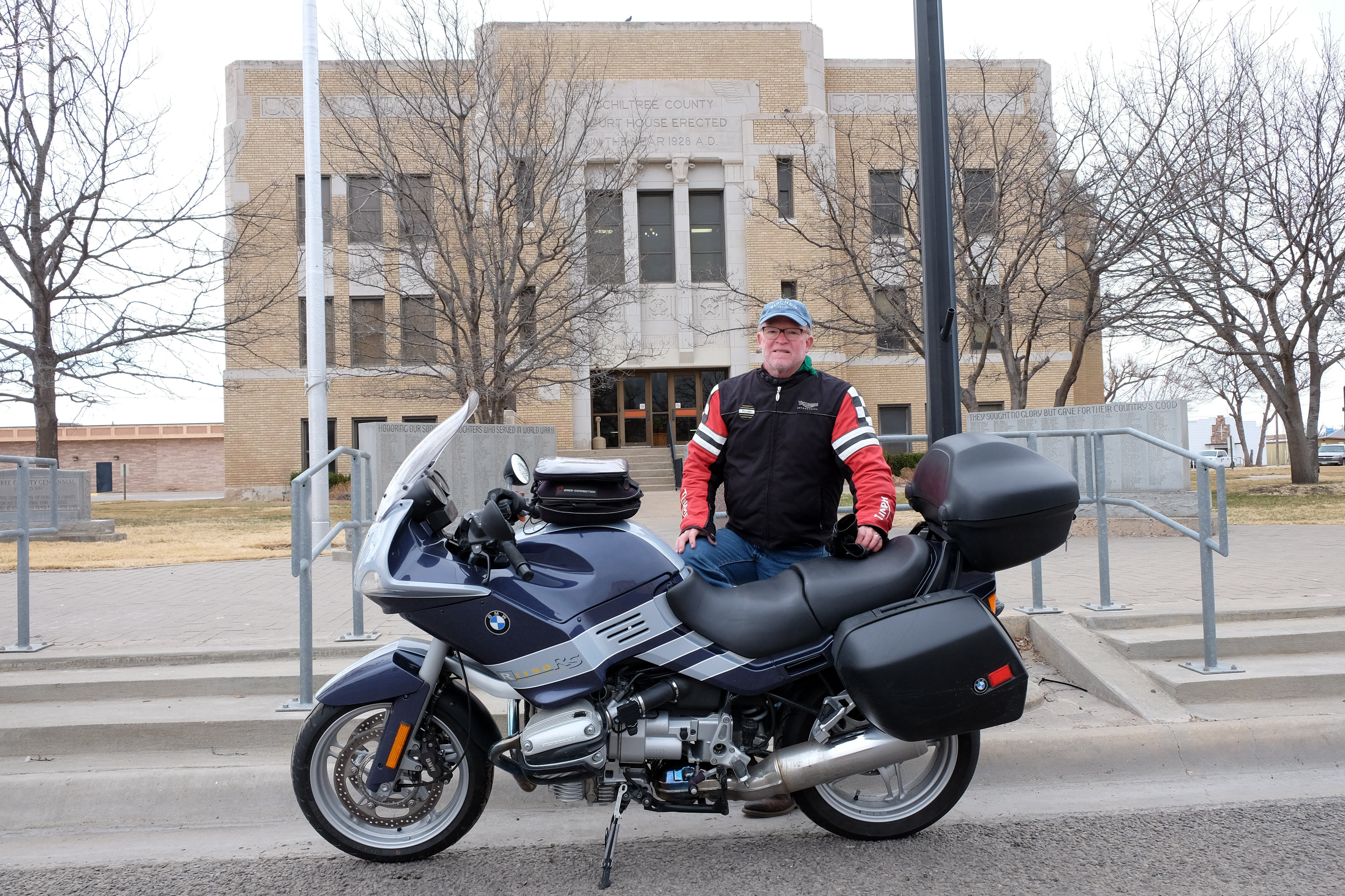
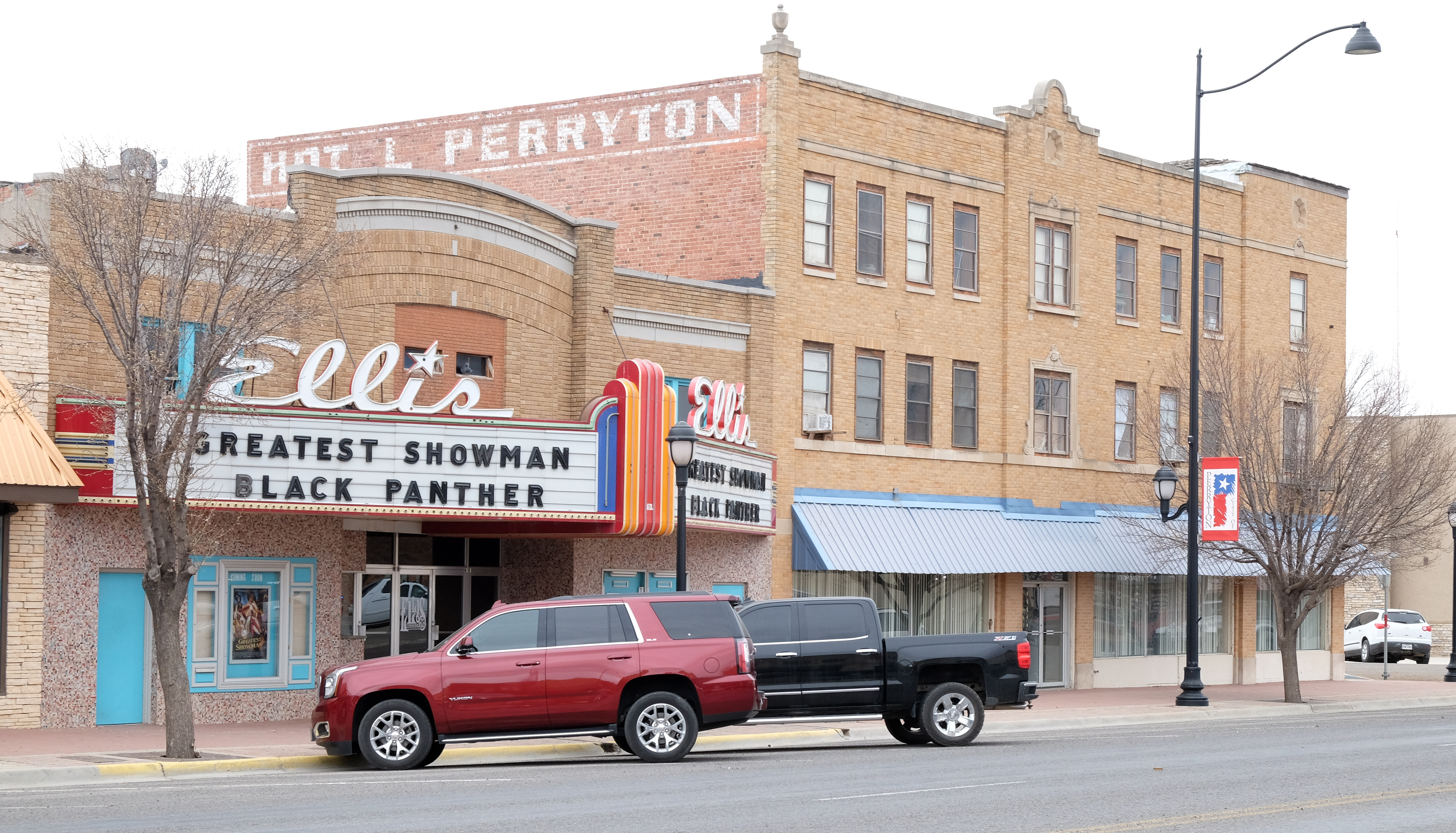
From Perryton, due east past the quaintly named town of Darrouzett, almost to Oklahoma, and then due south to Lipscomb.
The great thing about this adventure is that every stop is different, and with unexpected allure. Lipscomb is barely a wide spot on the road – I did not spy a single operating establishment, and I think the county population is less than a hundred souls, perhaps less than fifty. Anyone with a job must work for the county. But this place turned out to be one of the most interesting and unique county seats yet encountered. See for yourself:
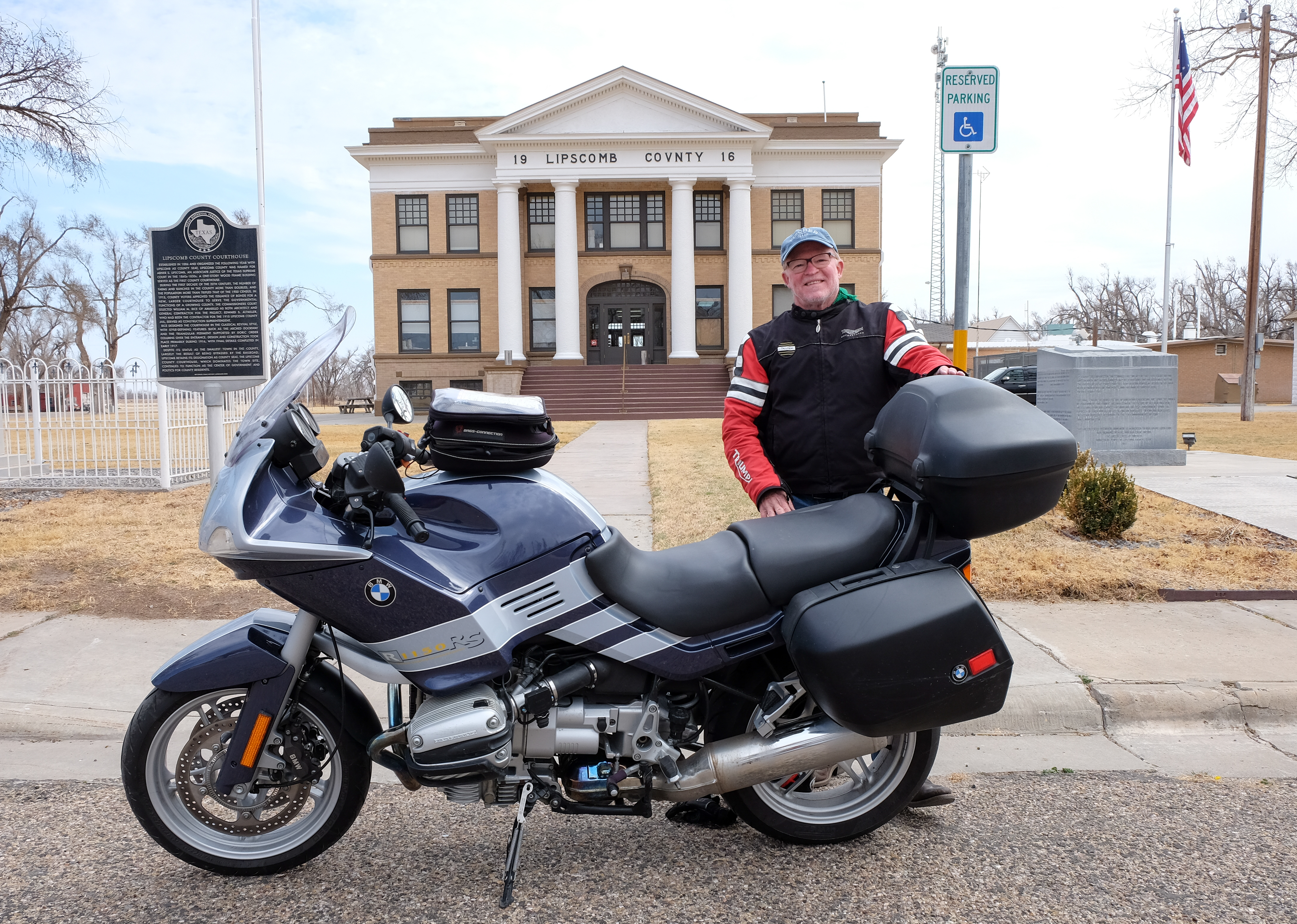
So that’s the county courthouse, now look at what is around it:
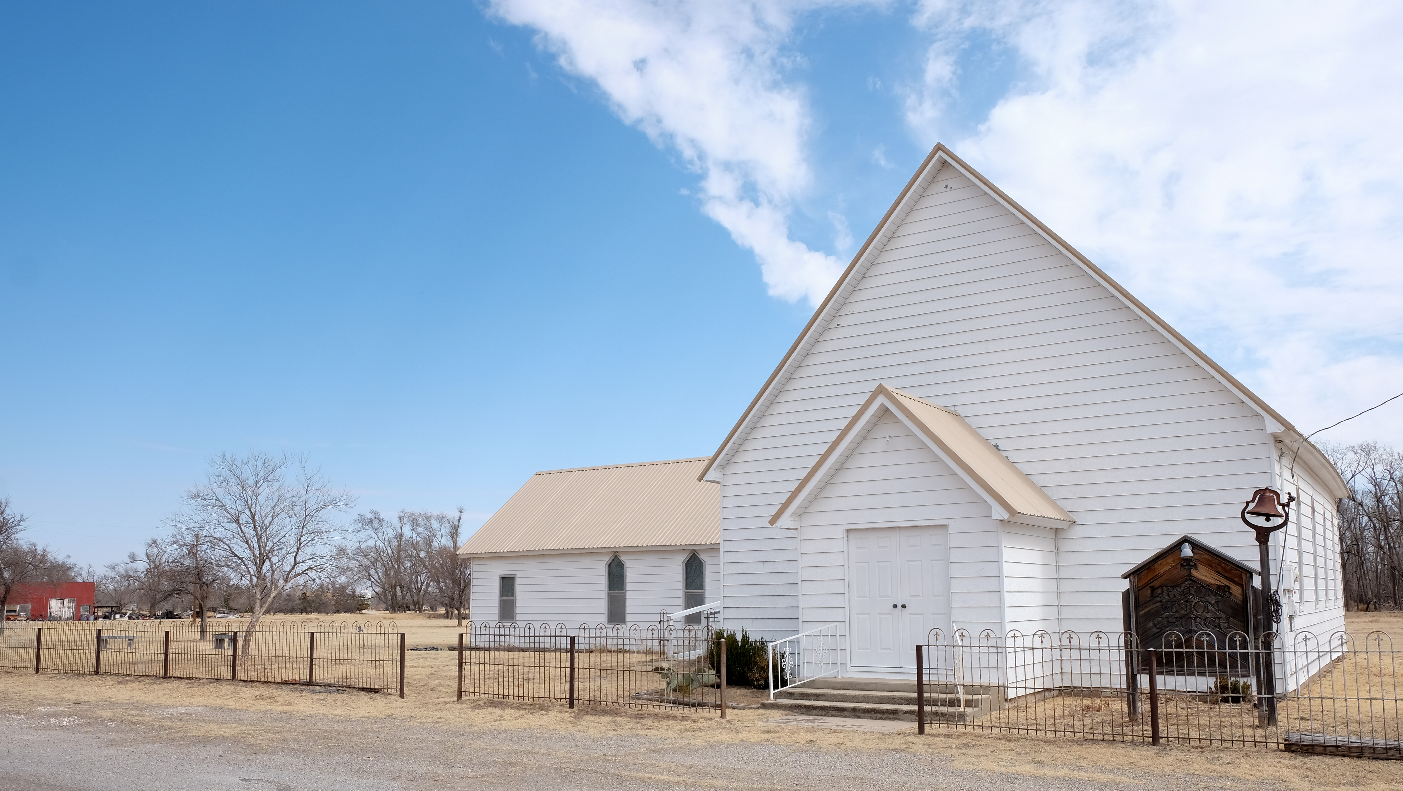
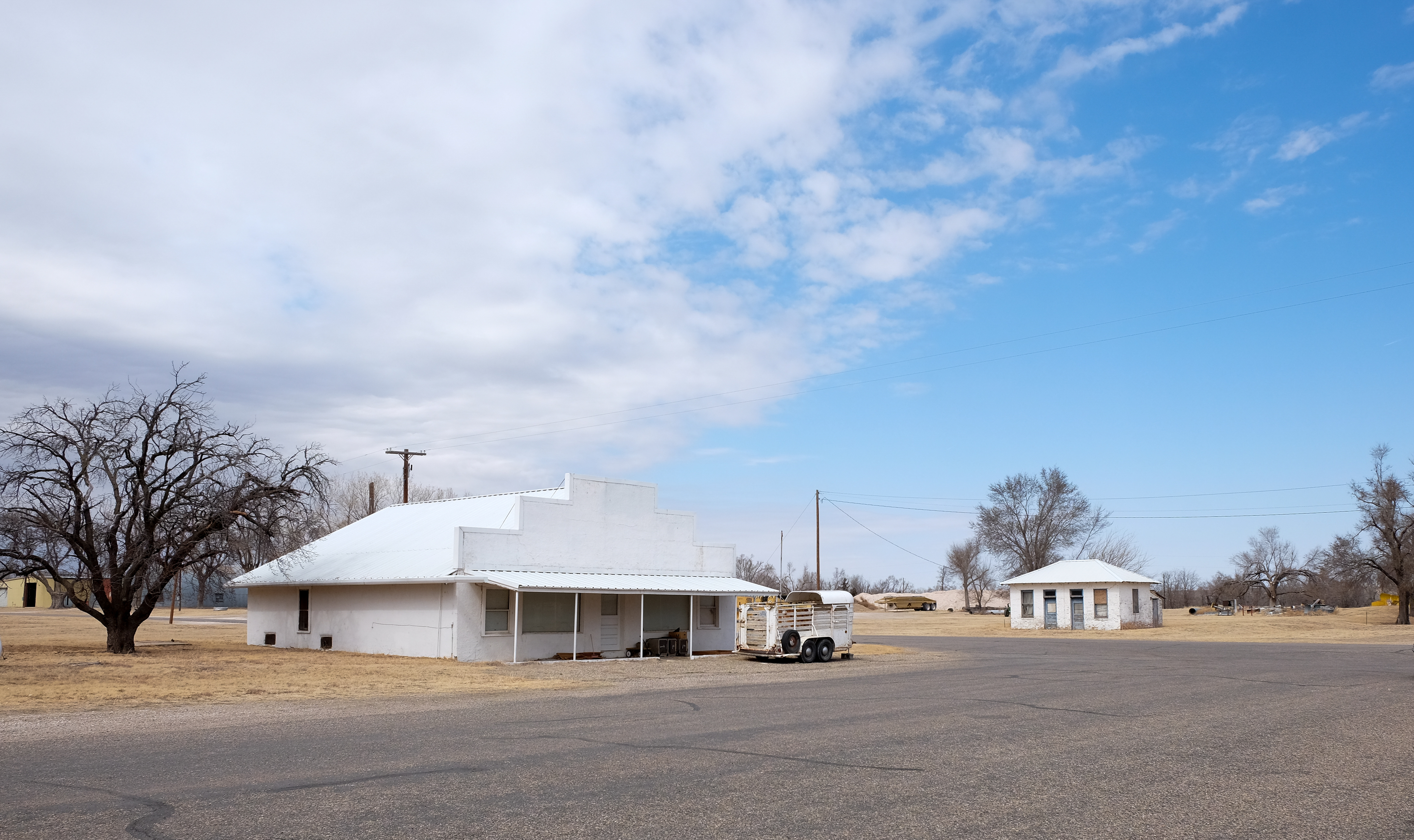
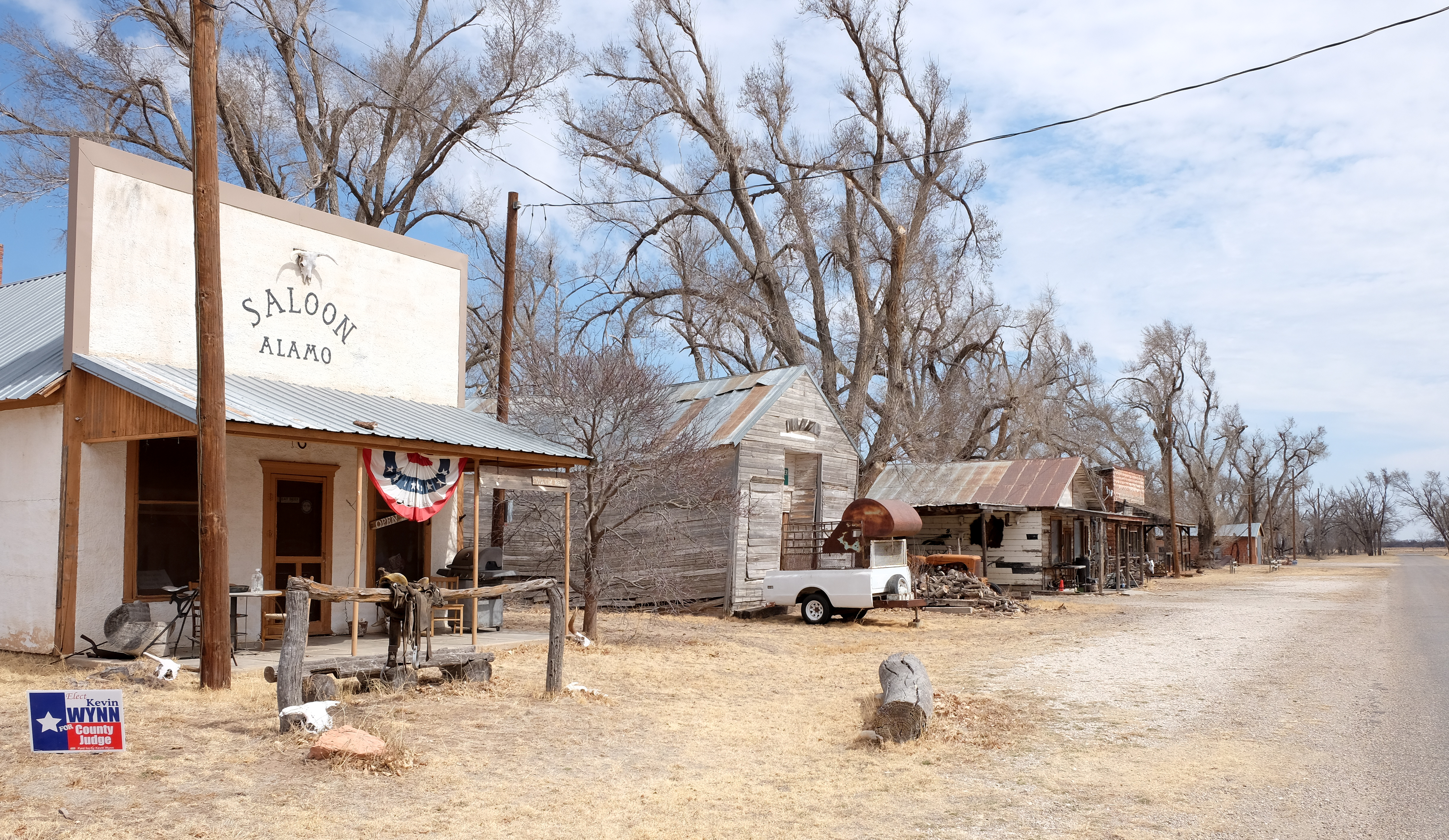
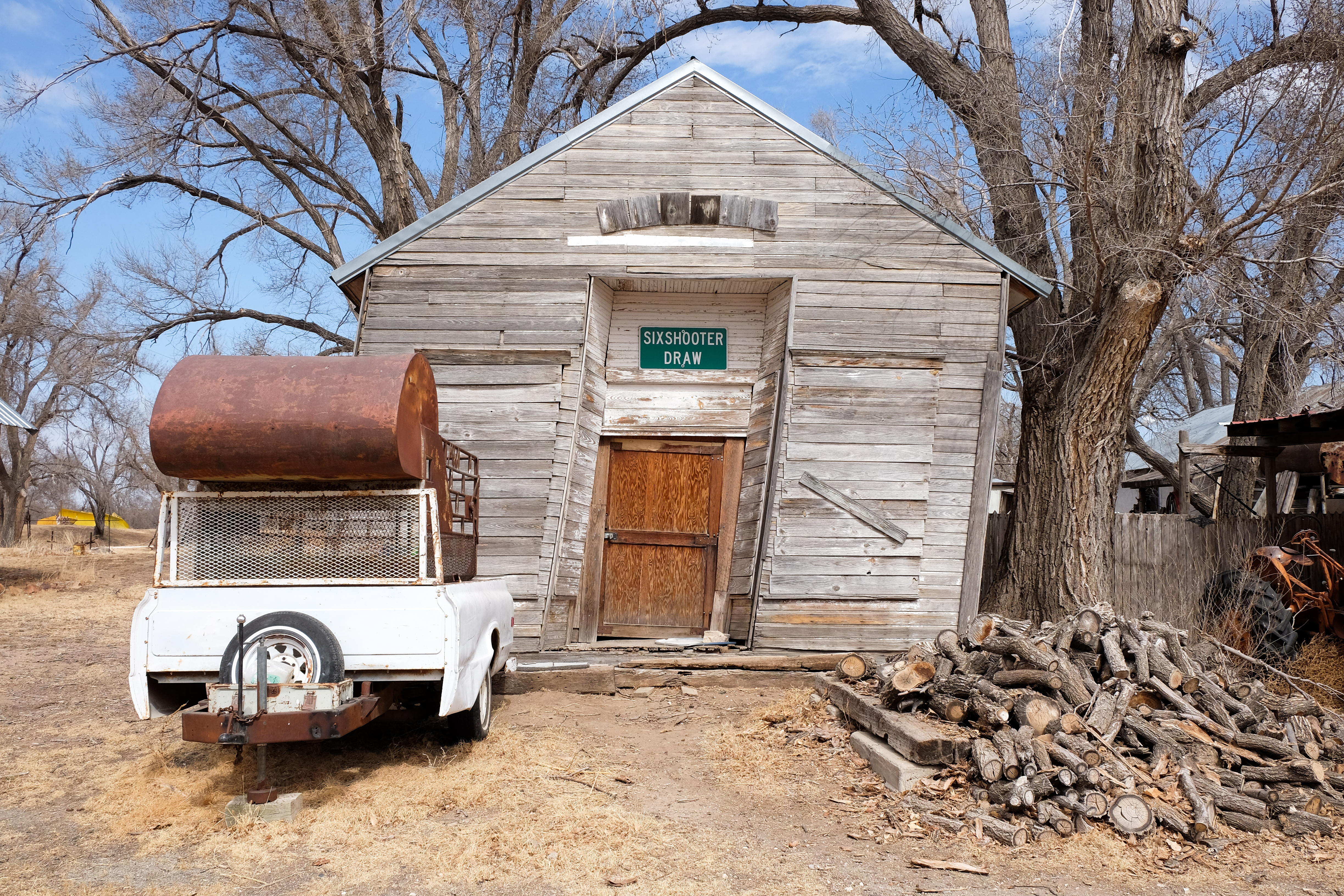
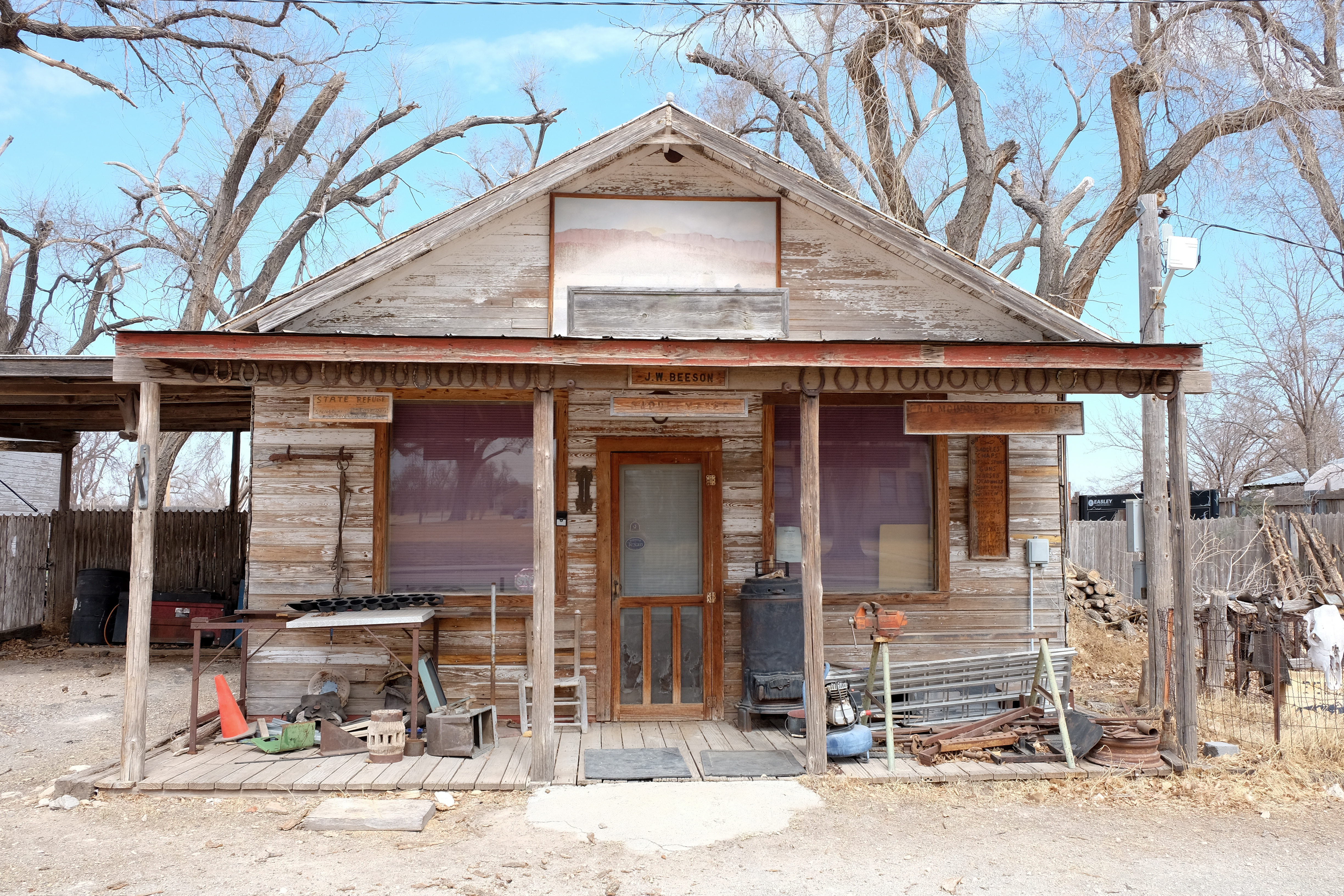
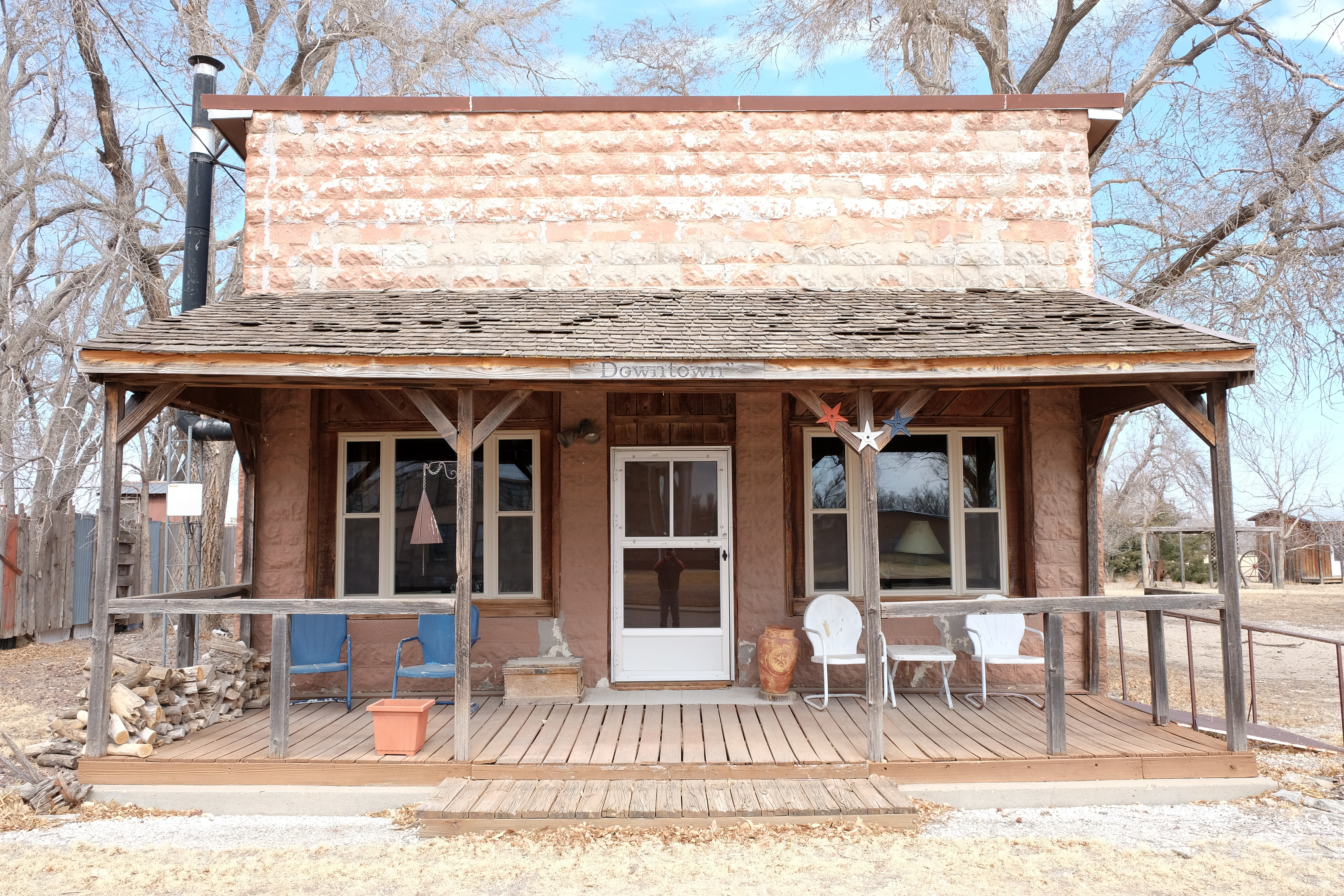
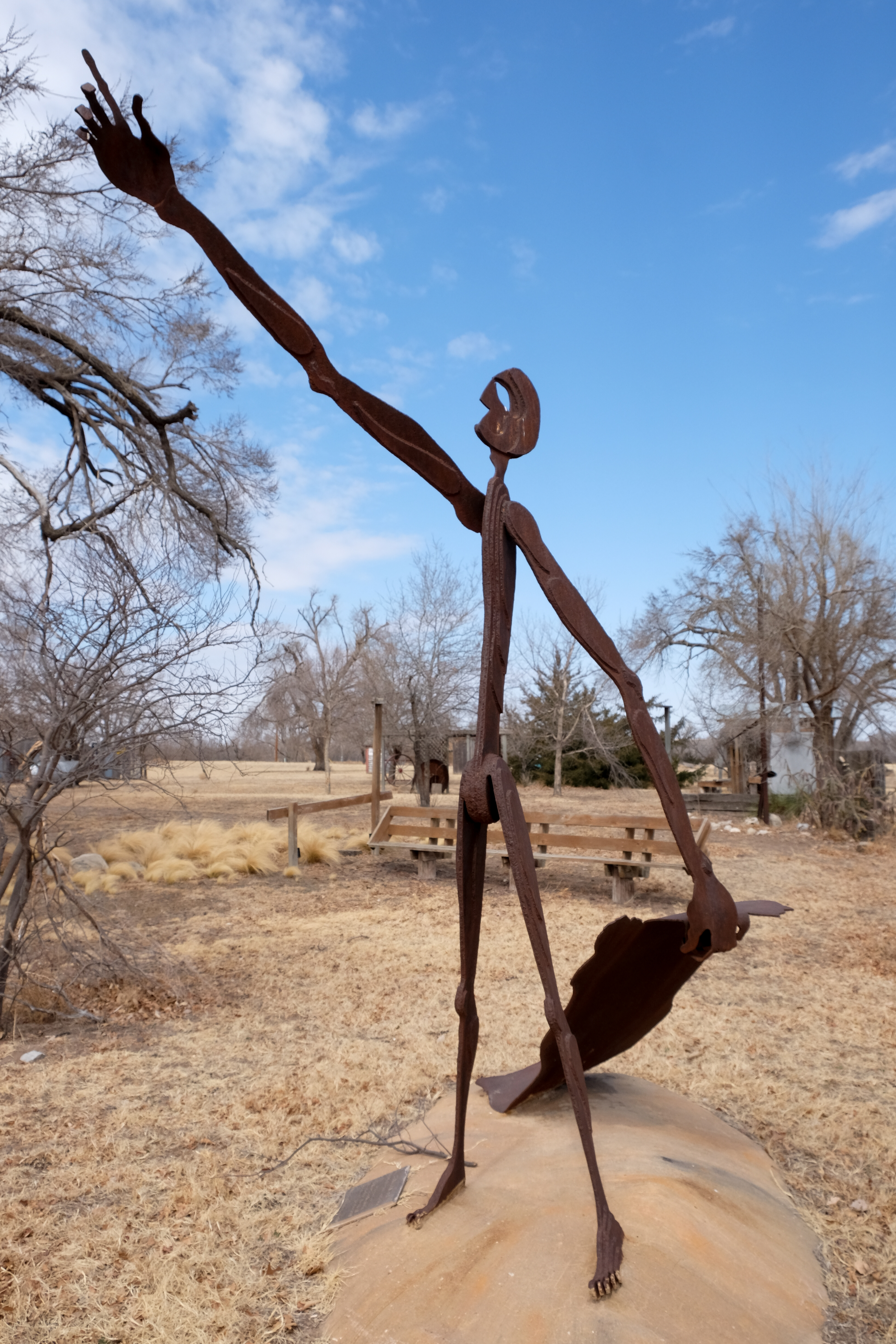
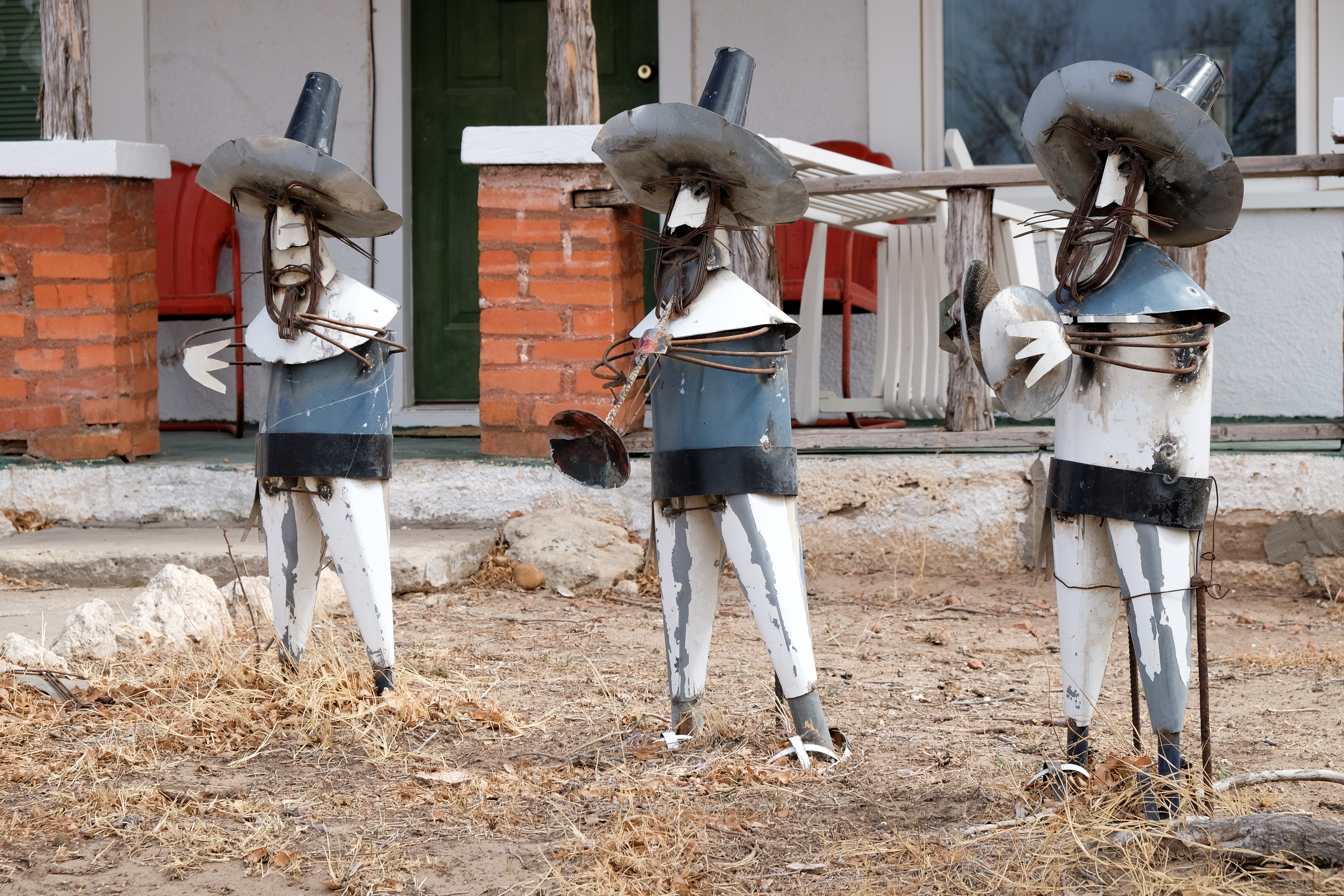
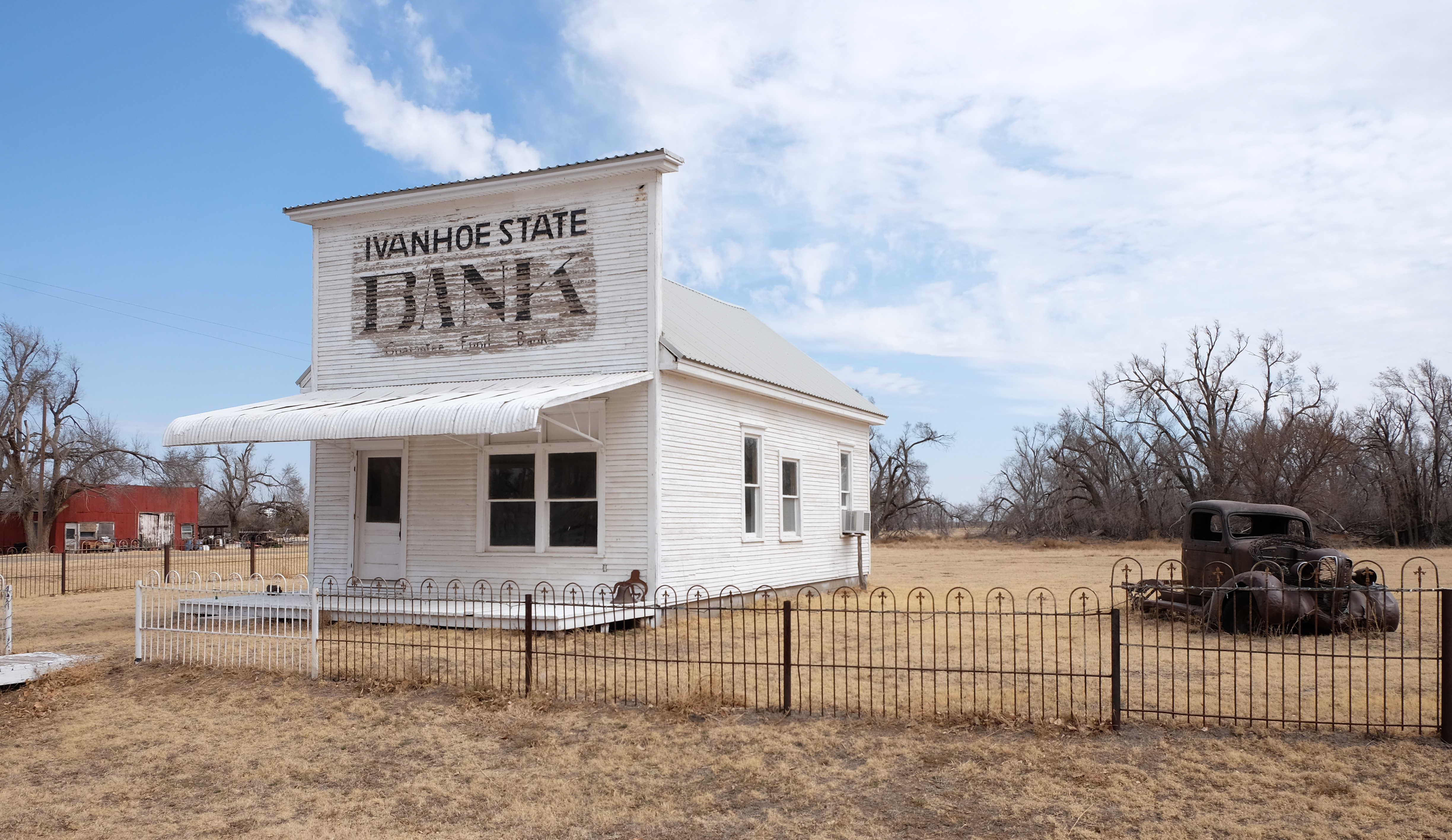
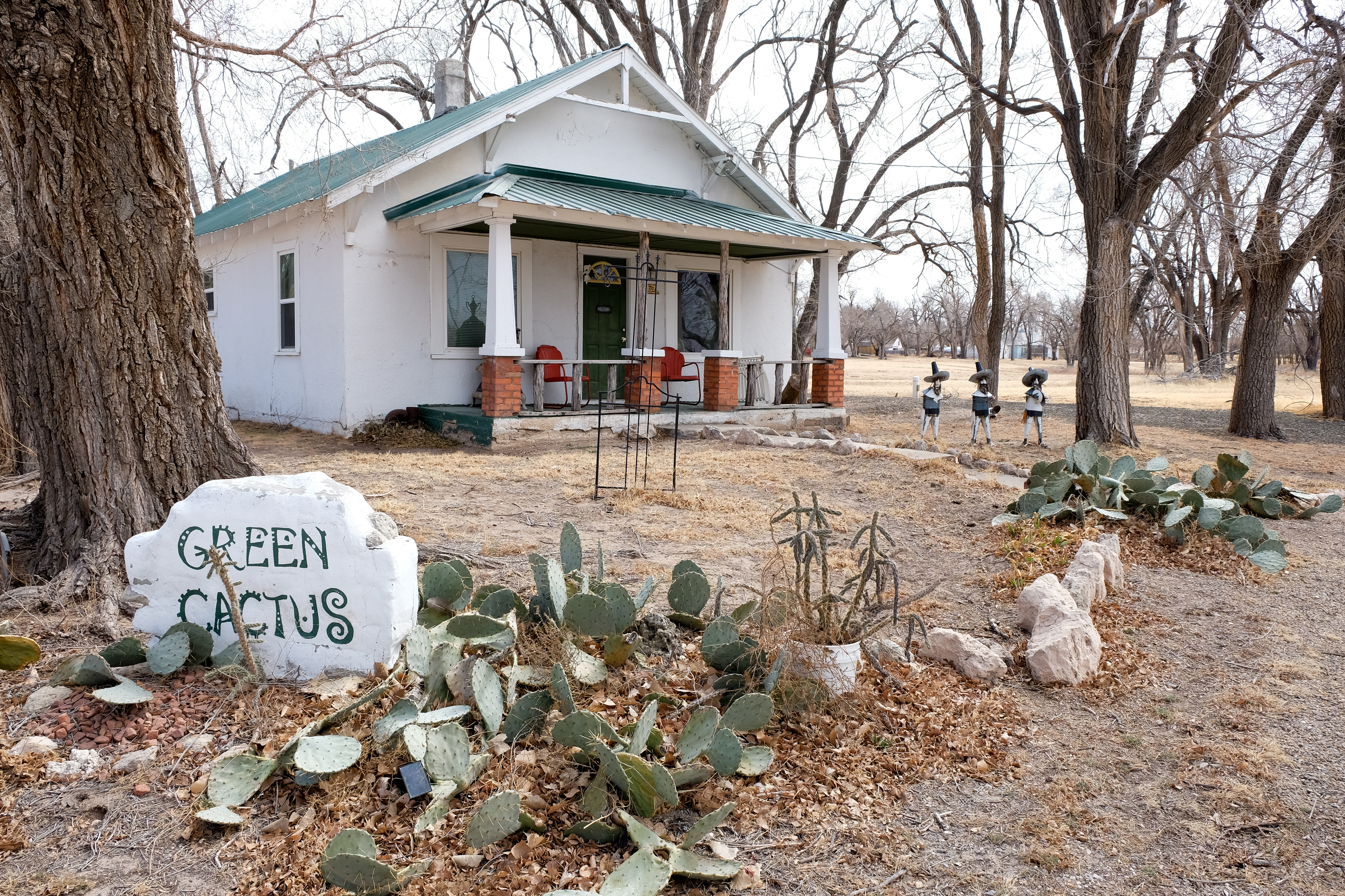
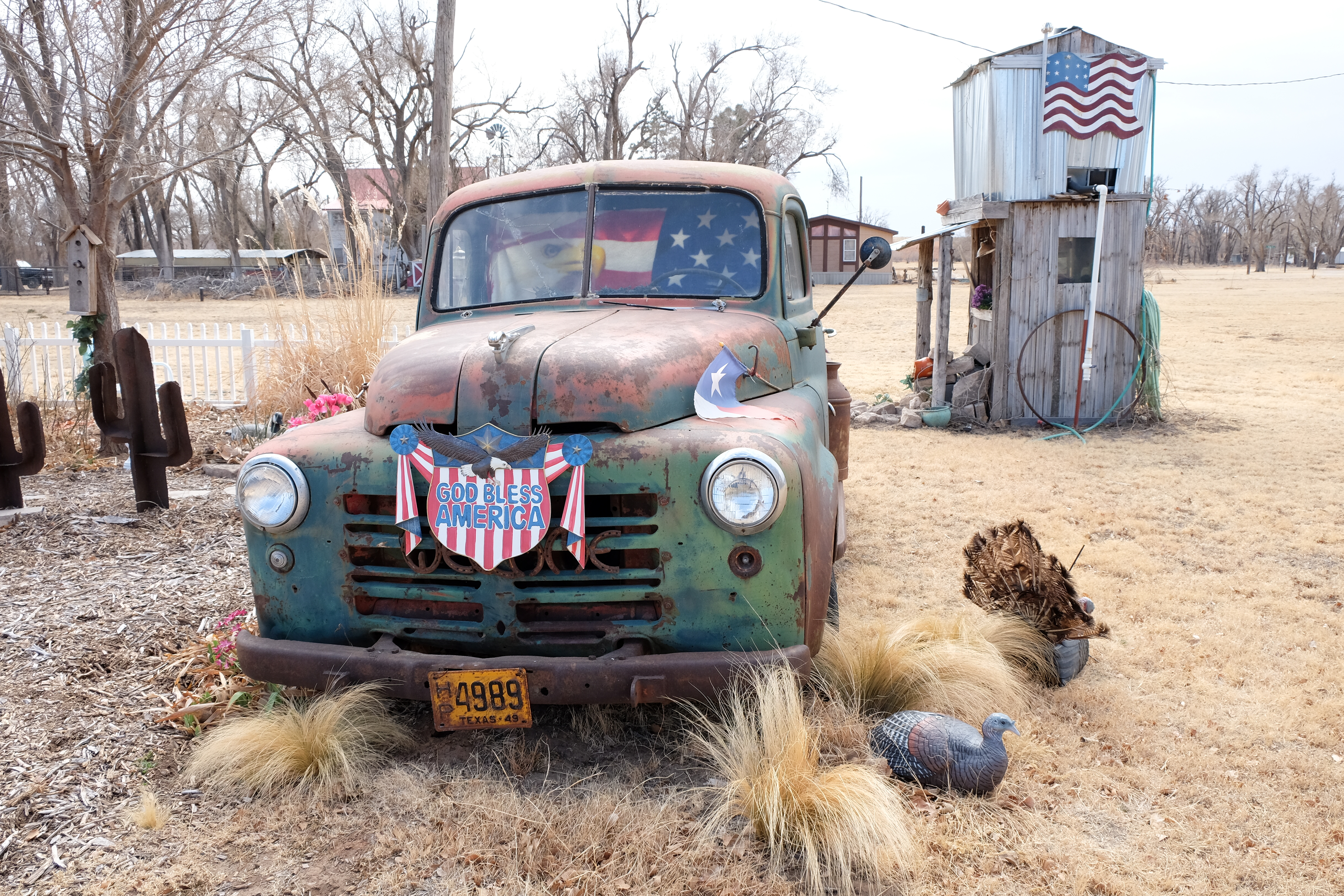
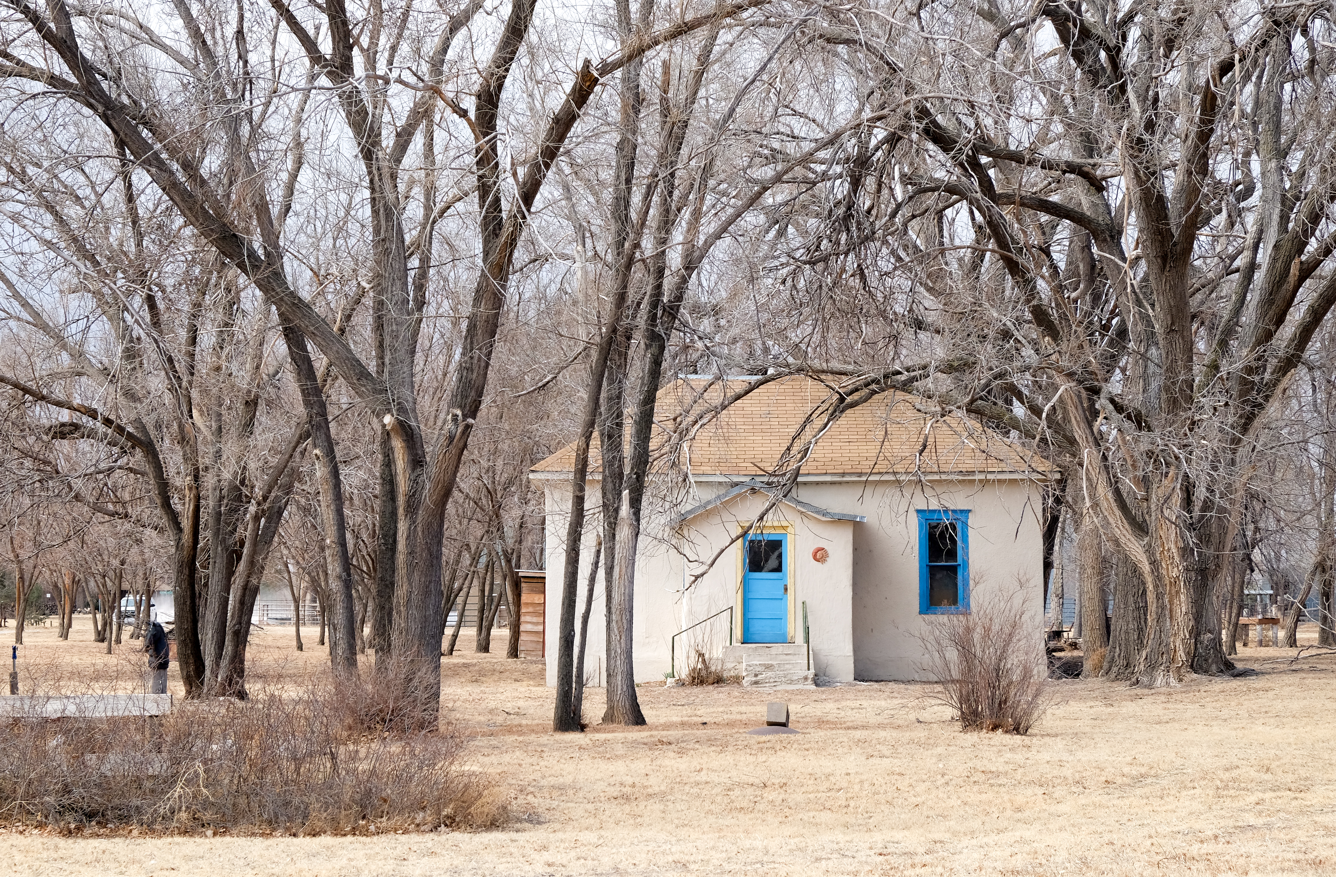
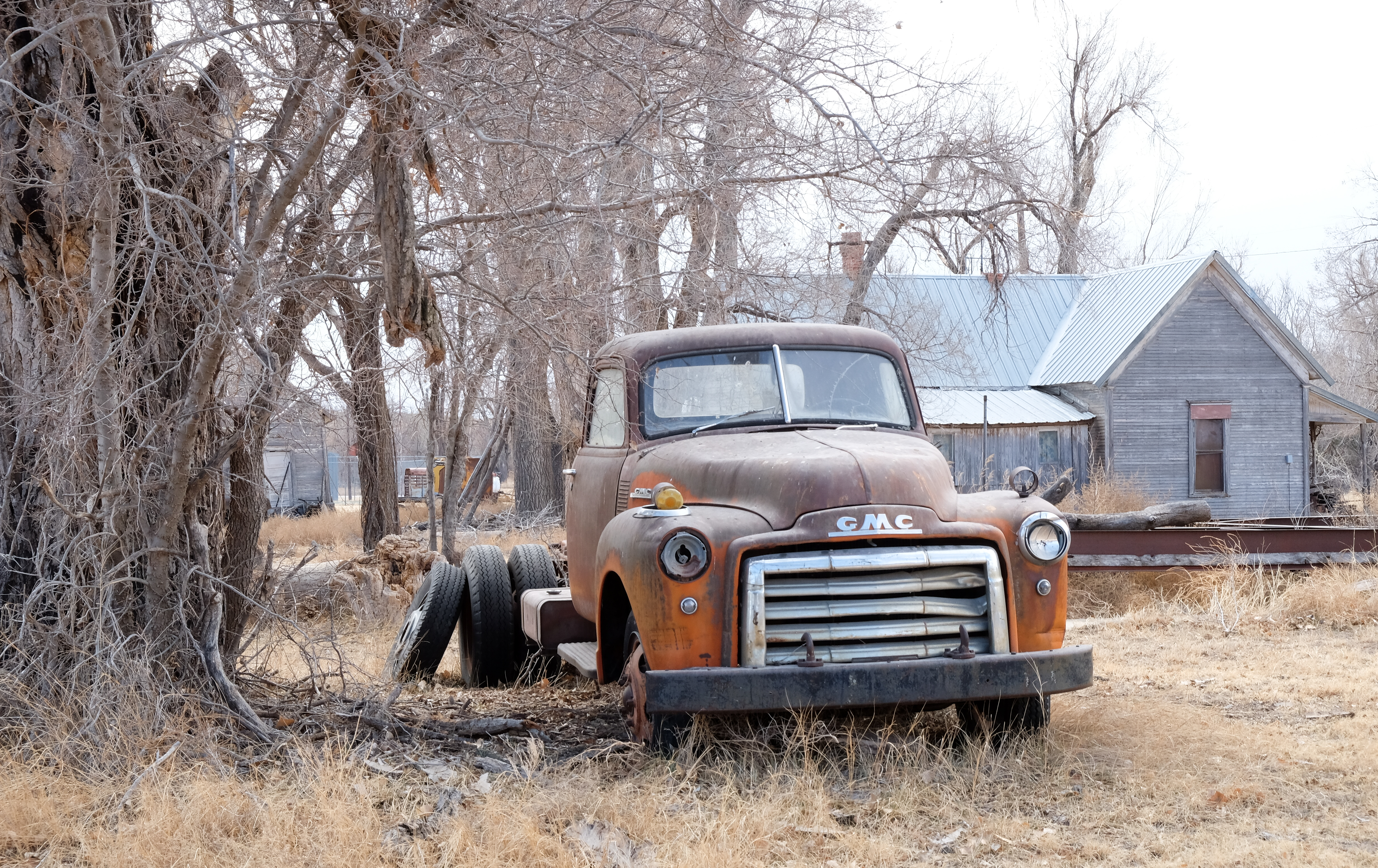
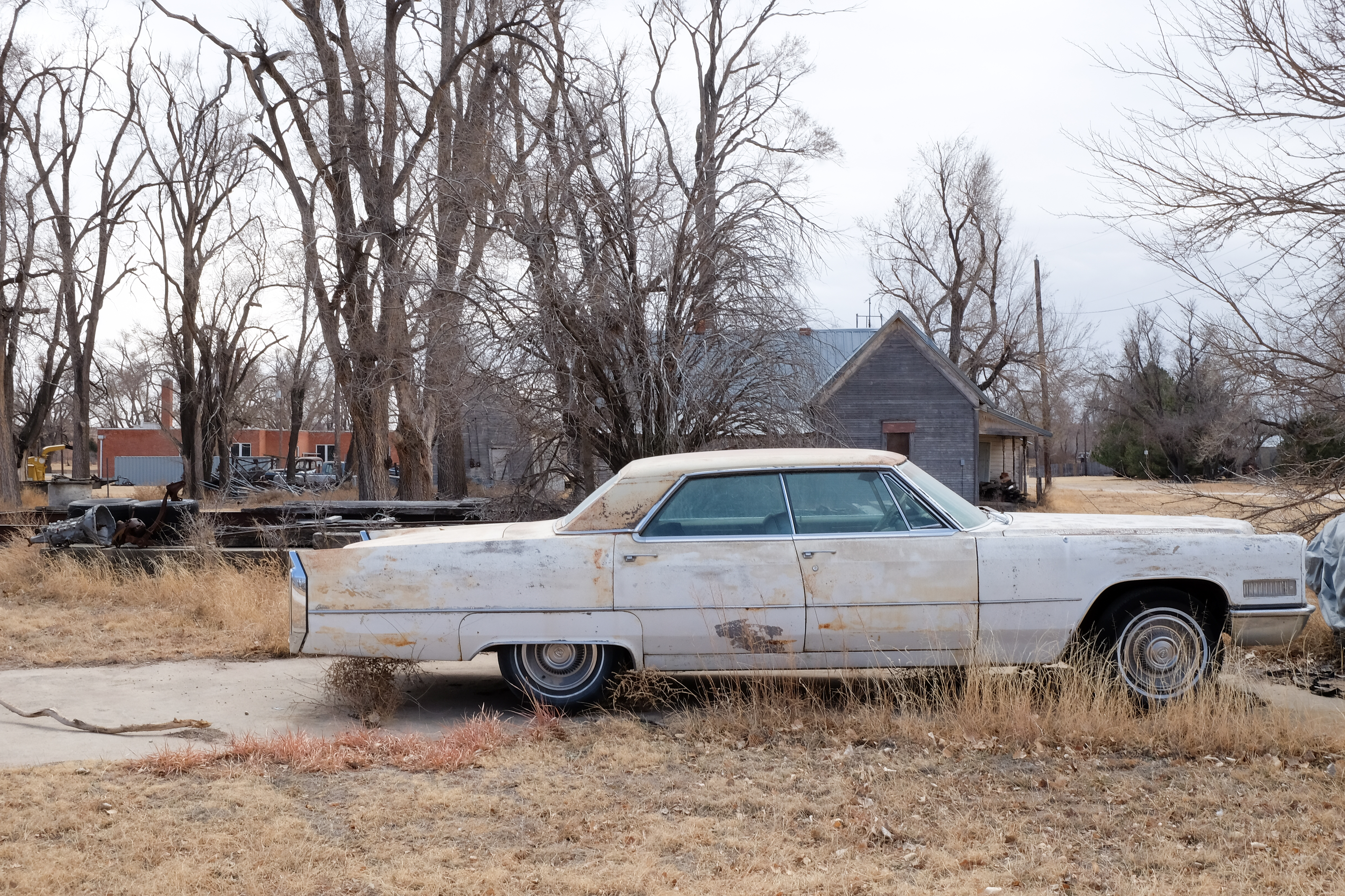
What an incredible place! I never saw a single human being while I was there, though to be fair that was true at quite a number of stops along this tour.
Following Lipscomb came another big surprise – as you head south, suddenly the terrain becomes more rolling and then brushy, and you cross the Canadian River, which I belatedly realize must be the inspiration for the Michael Martin Murphey song “South Canadian River Song”. The town of Canadian, unlike its predecessors on this leg, looks very upscale and shi-shi. The judge came out while I was taking pictures of his courthouse and explained that the special thing about Canadian is that it is on a river. Apparently they have summer music festivals and it is quite the touristic destination. Who wouldda thunk it.
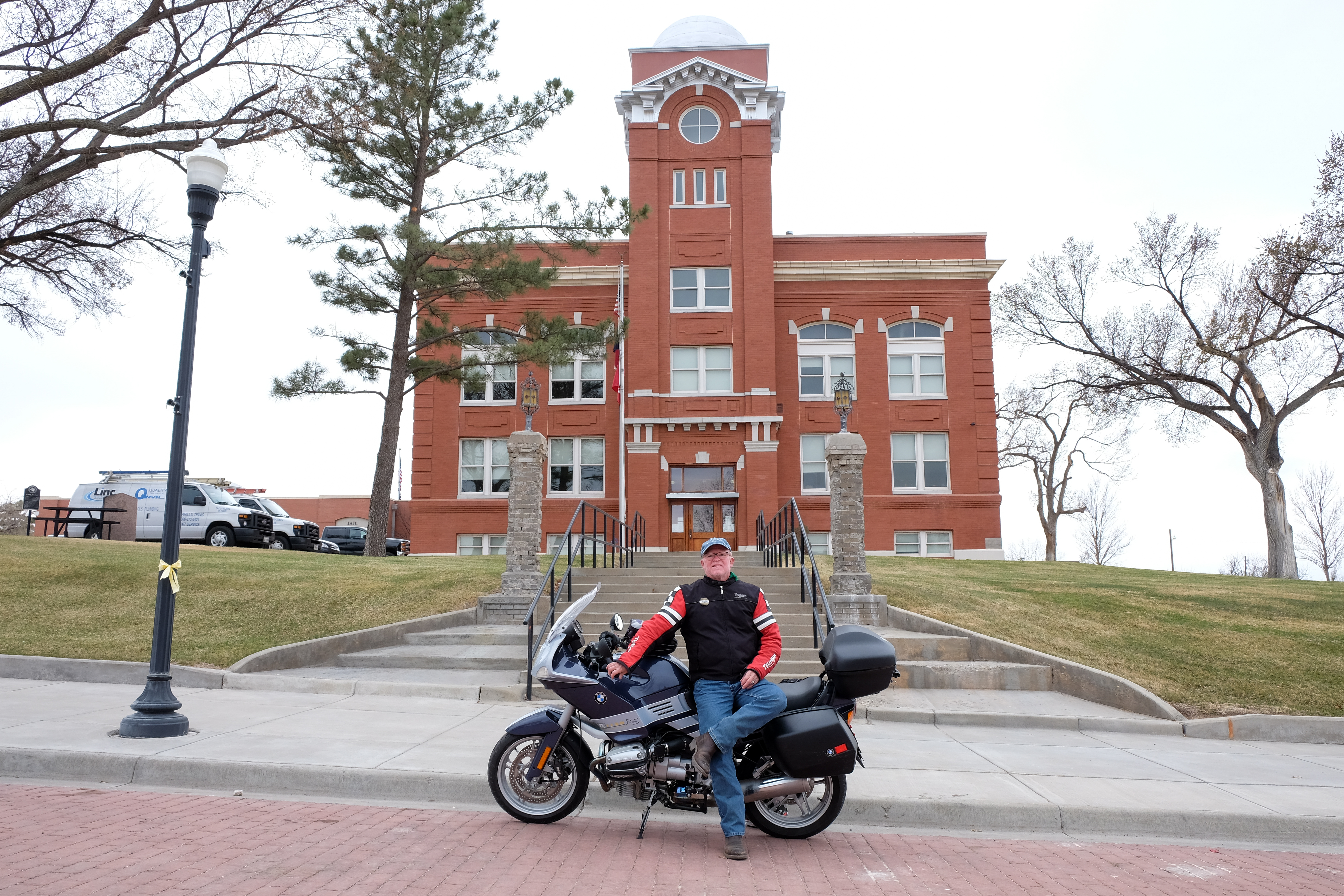
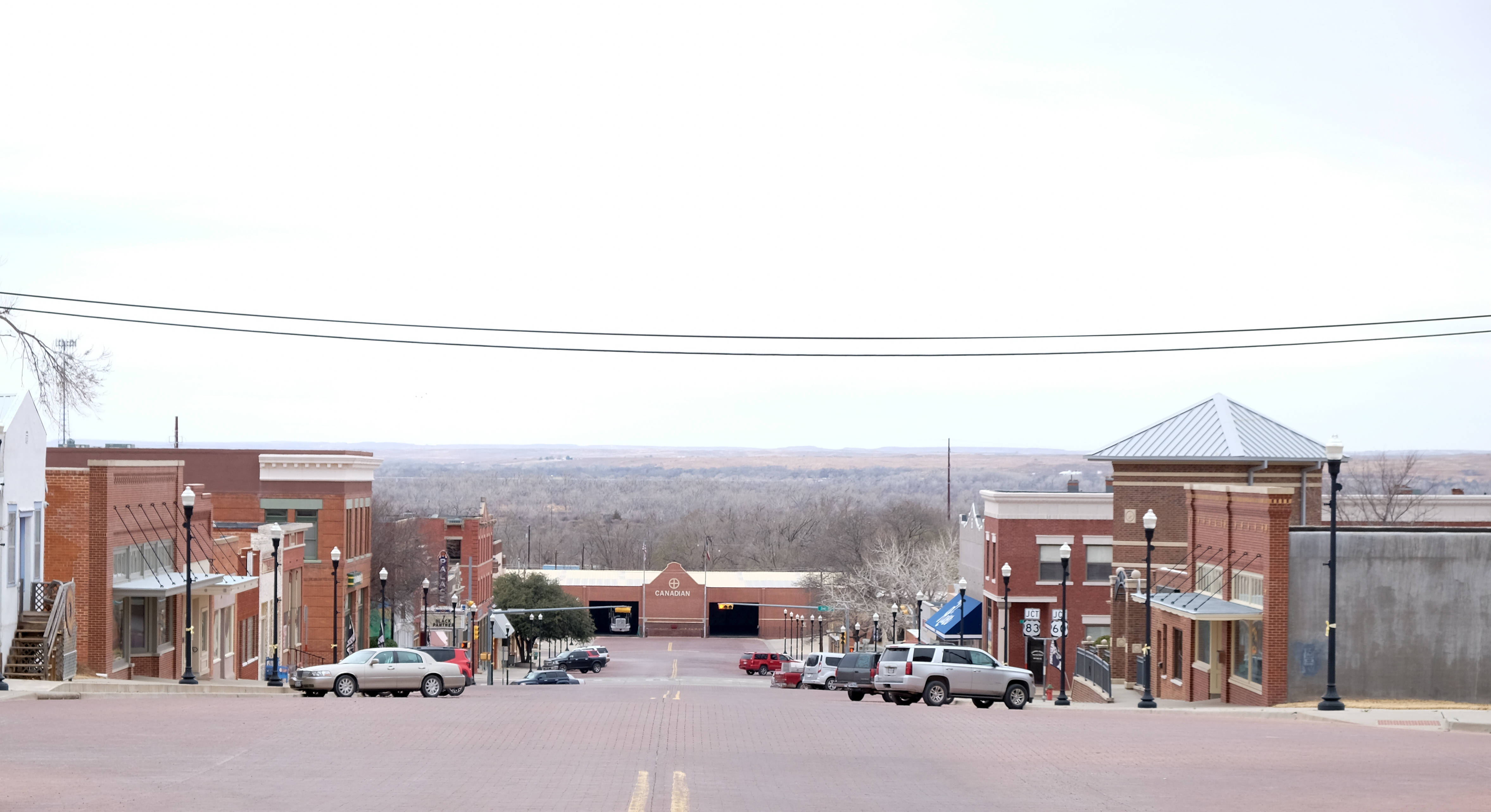
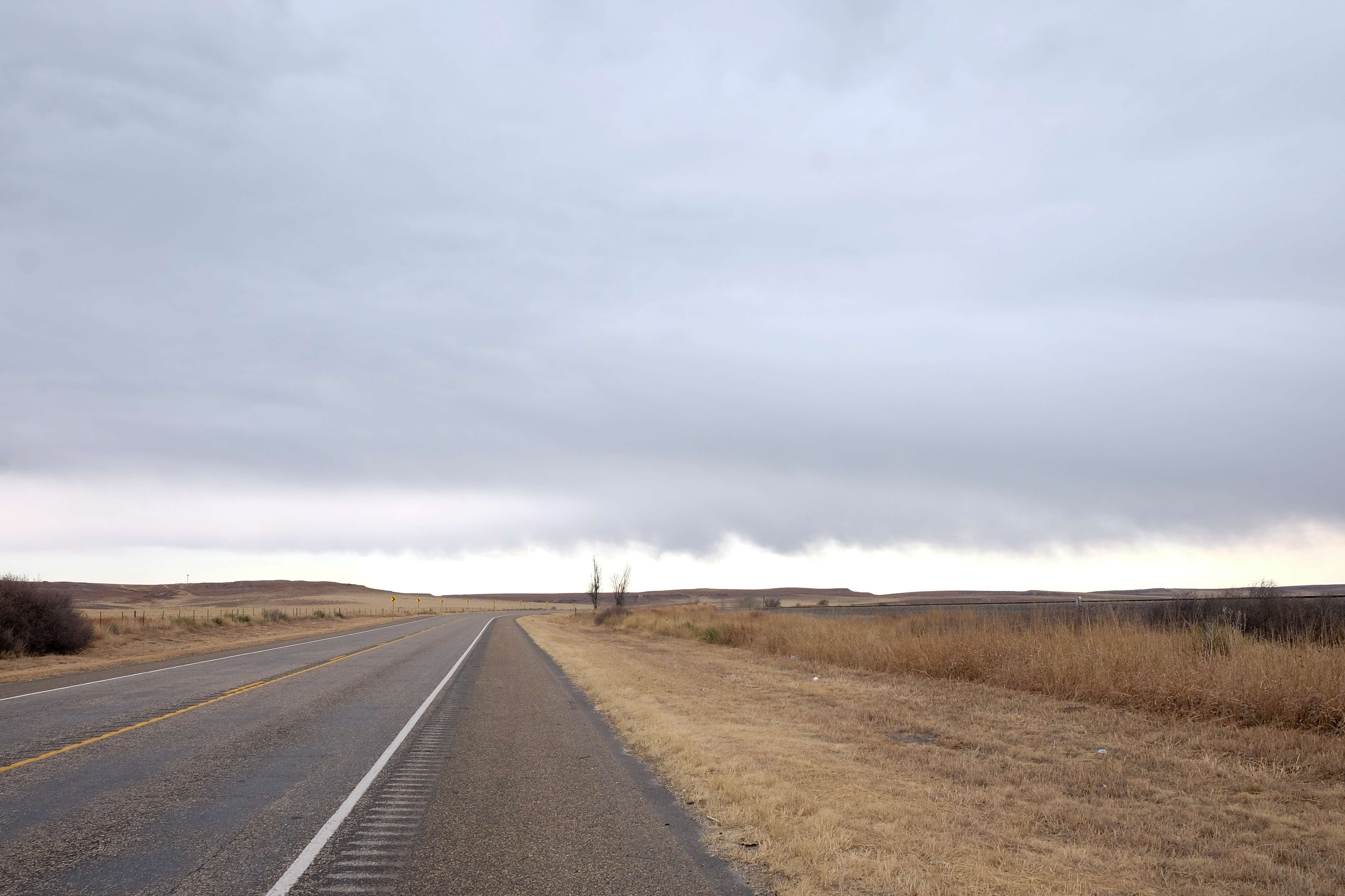
From Canadian, the road turns west toward Miami, and I get my first taste of the head and cross winds to come. Just a taste, on this leg…
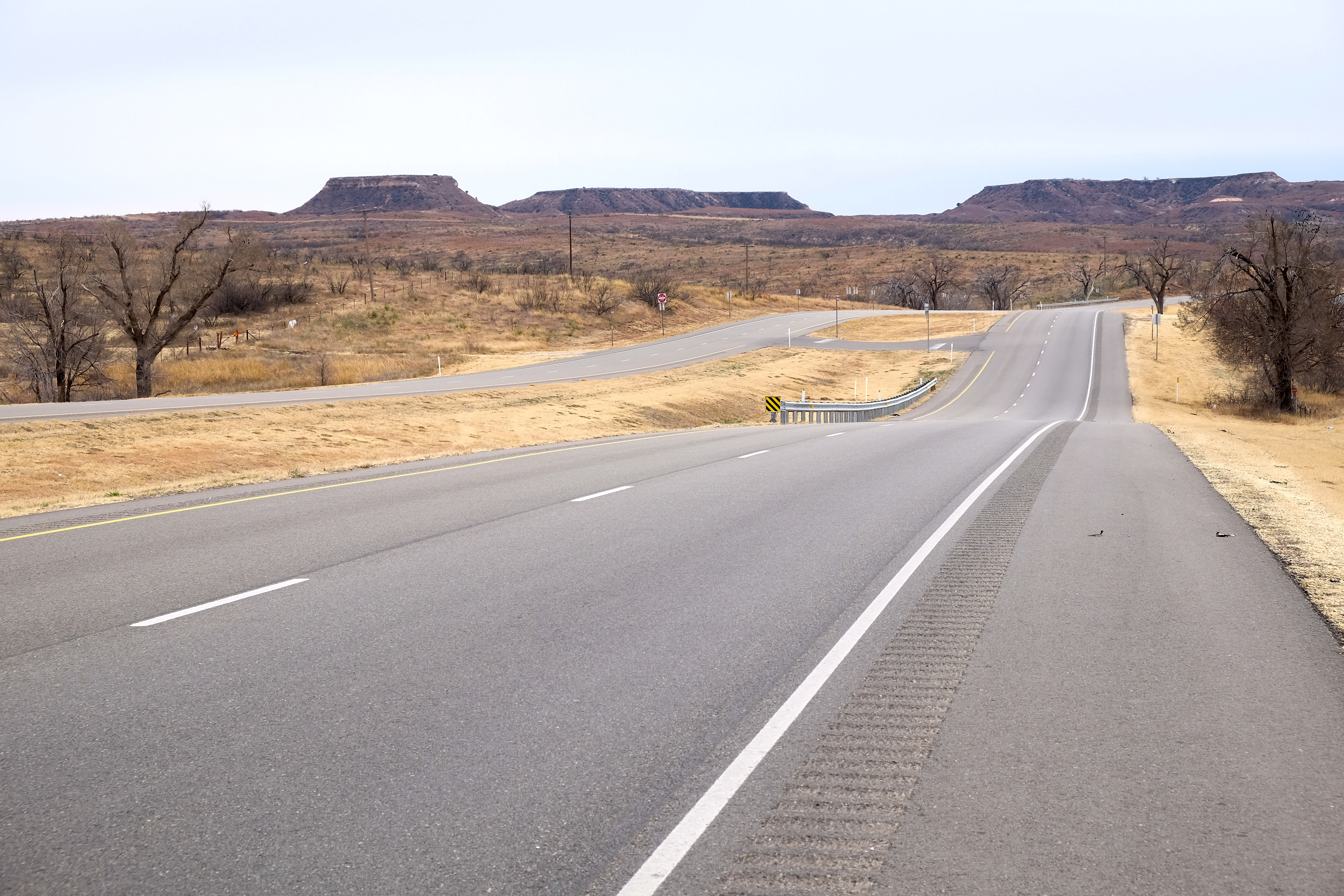
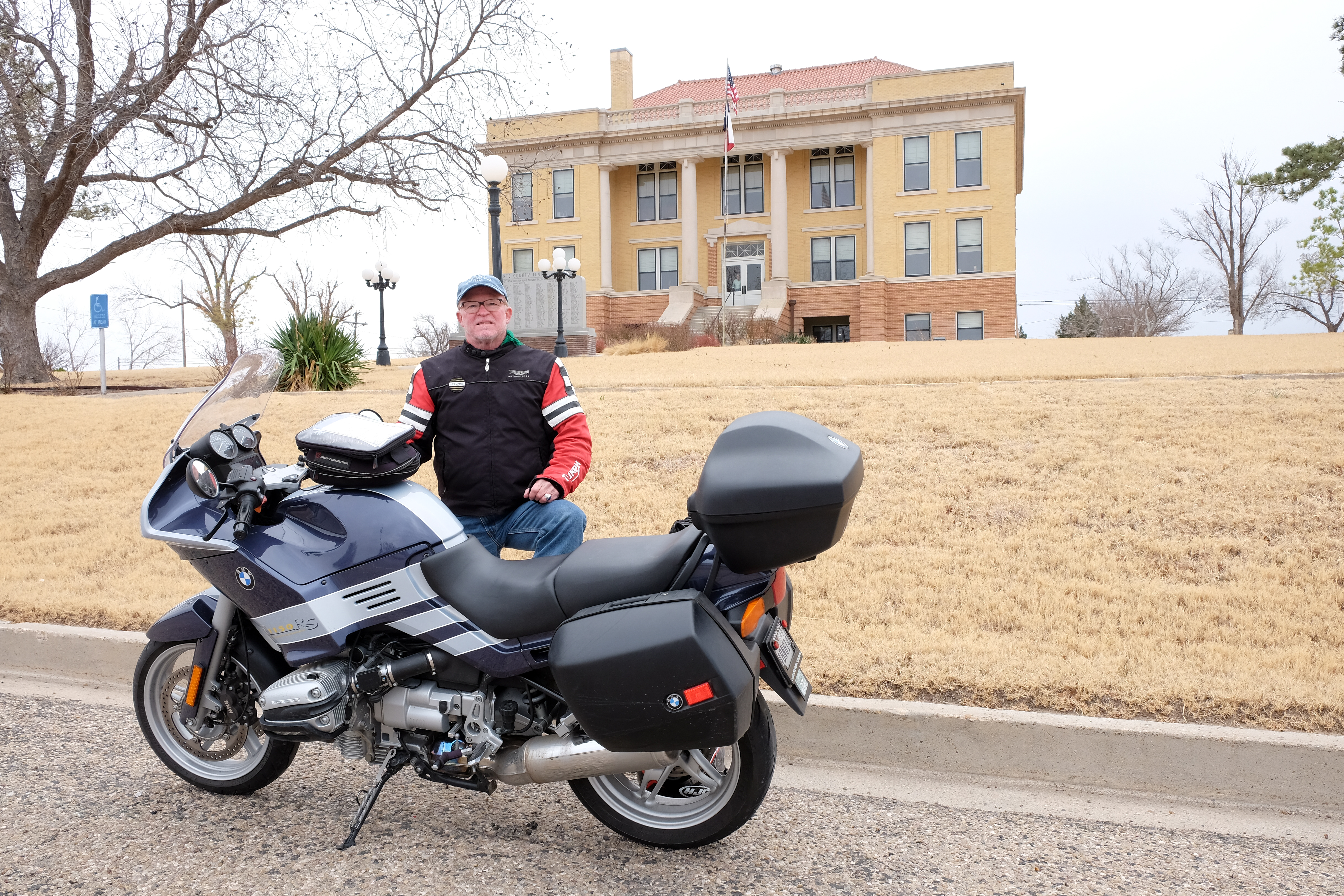
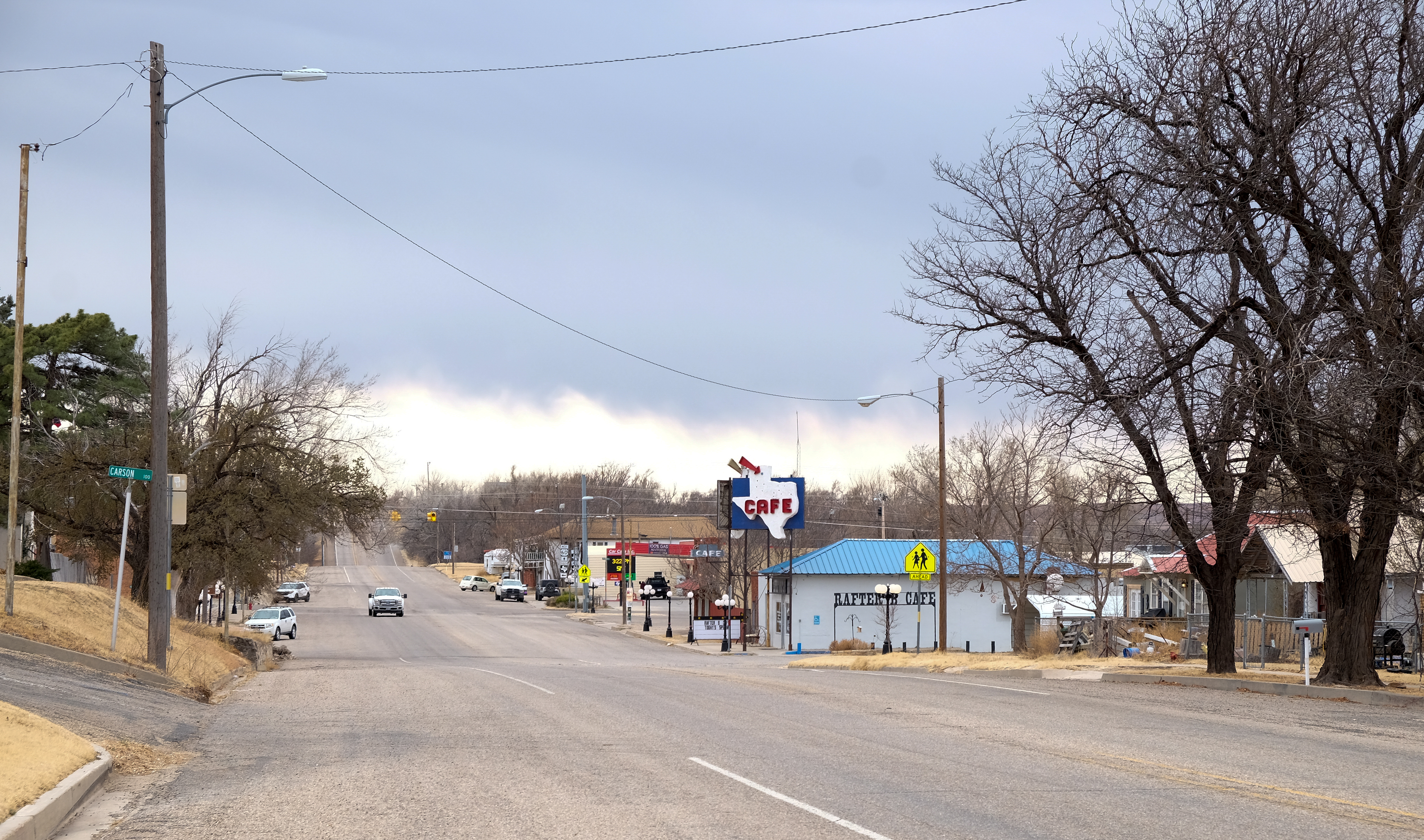
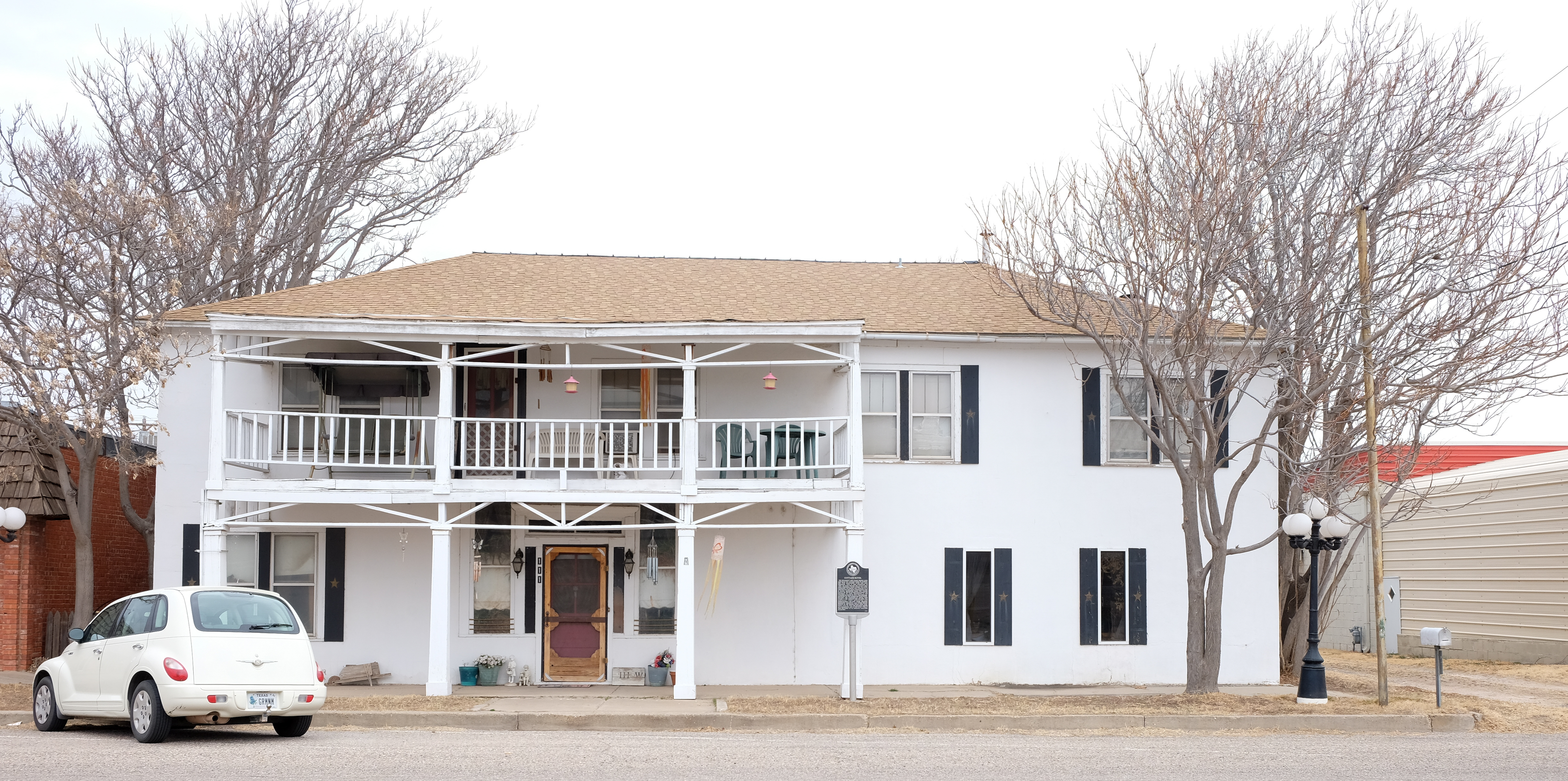
More wind on the way to Pampa (pronounced as “Tampa (Bay)”, not like the Argentinian savannah. Also headed back into the inclement weather I had punched through on the eastward bound leg in the morning.
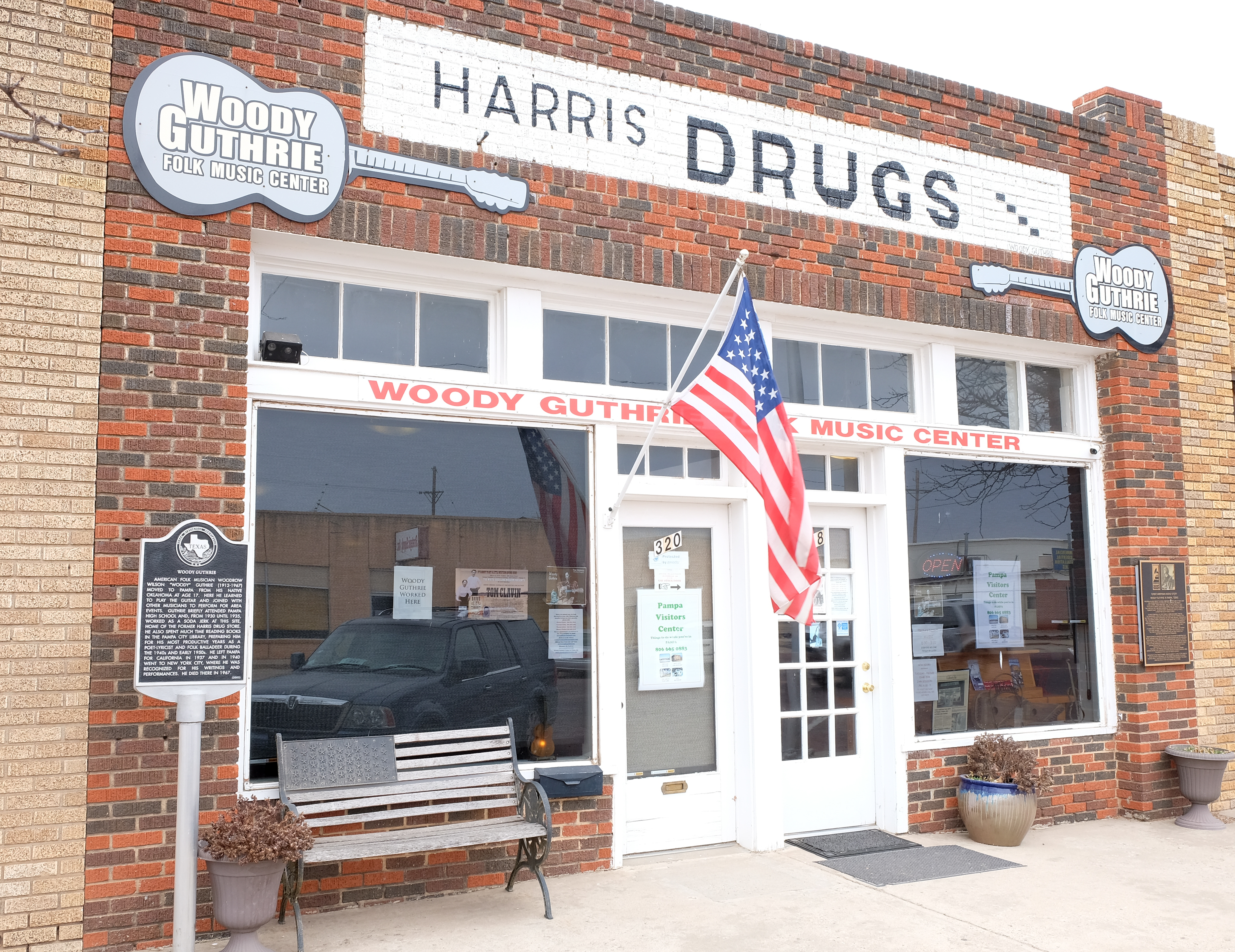
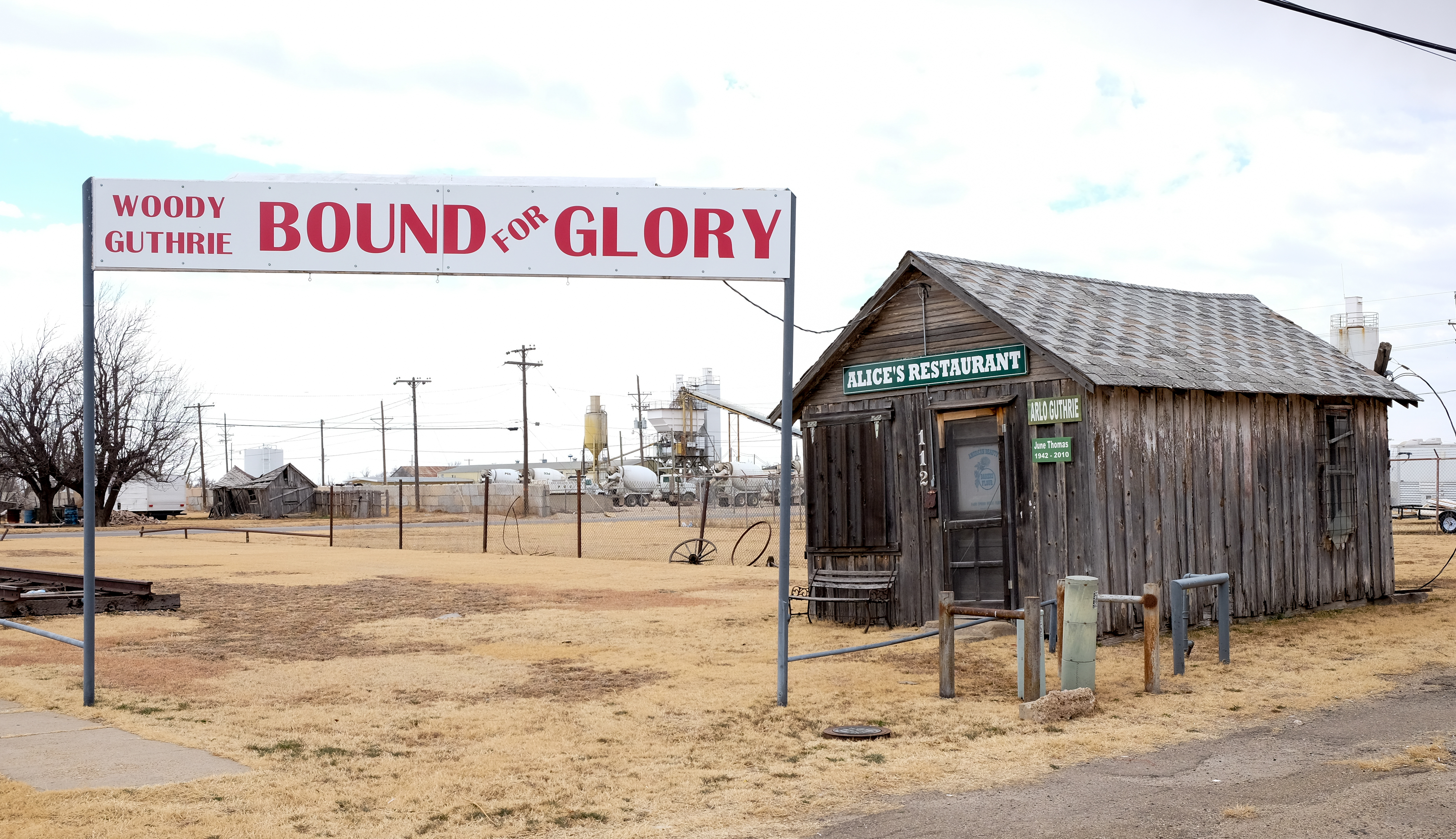
Upon arriving in Pampa, I discovered that when Woody Guthrie was 17, he left Oklahoma and worked for three years as a soda jerk in Pampa at this very place.
And out back was…Alice’s Restaurant! (OK, so the real one is in Massachusetts, I think – picky, picky).
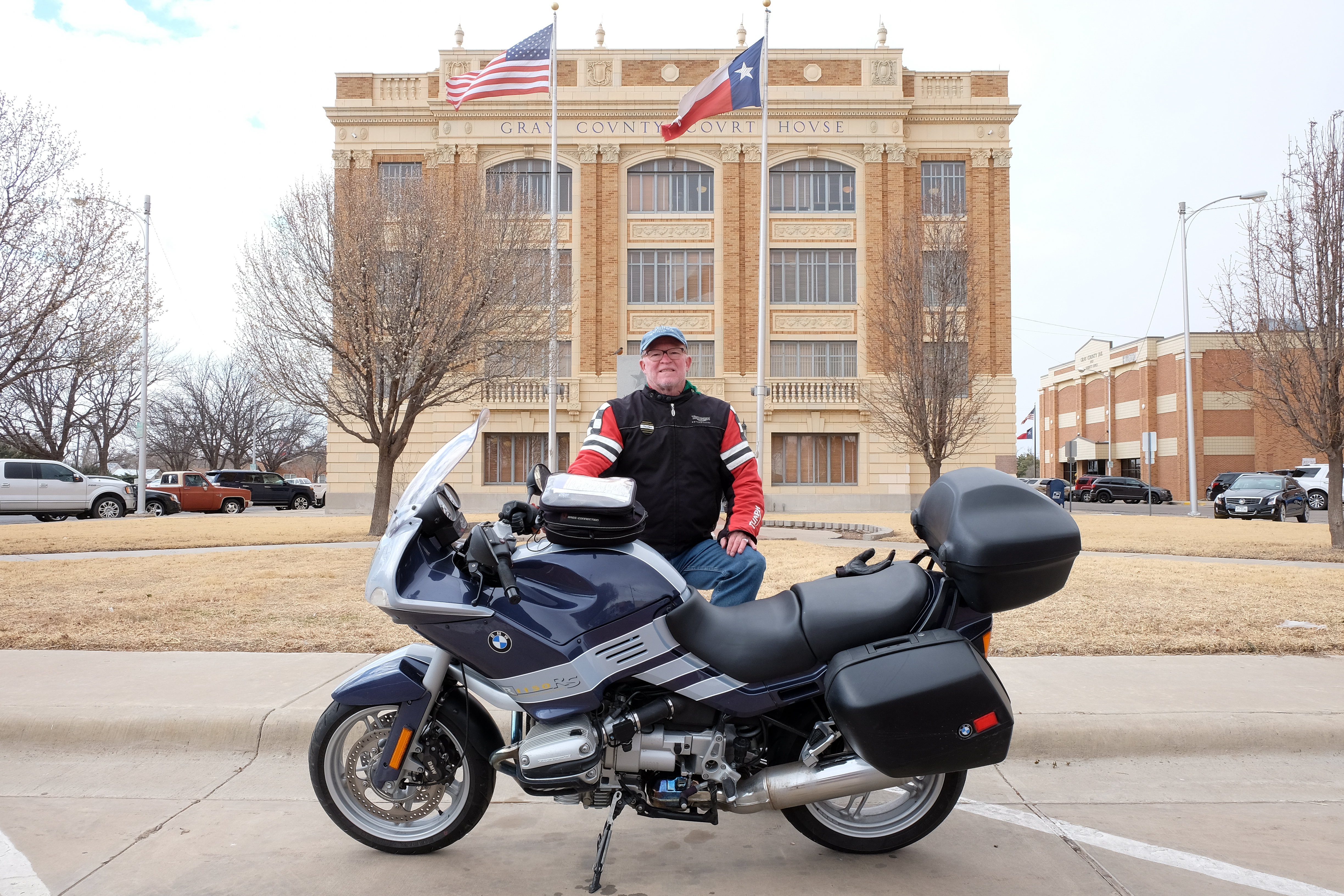
From Pampa, further westward to the town of Stinnett.
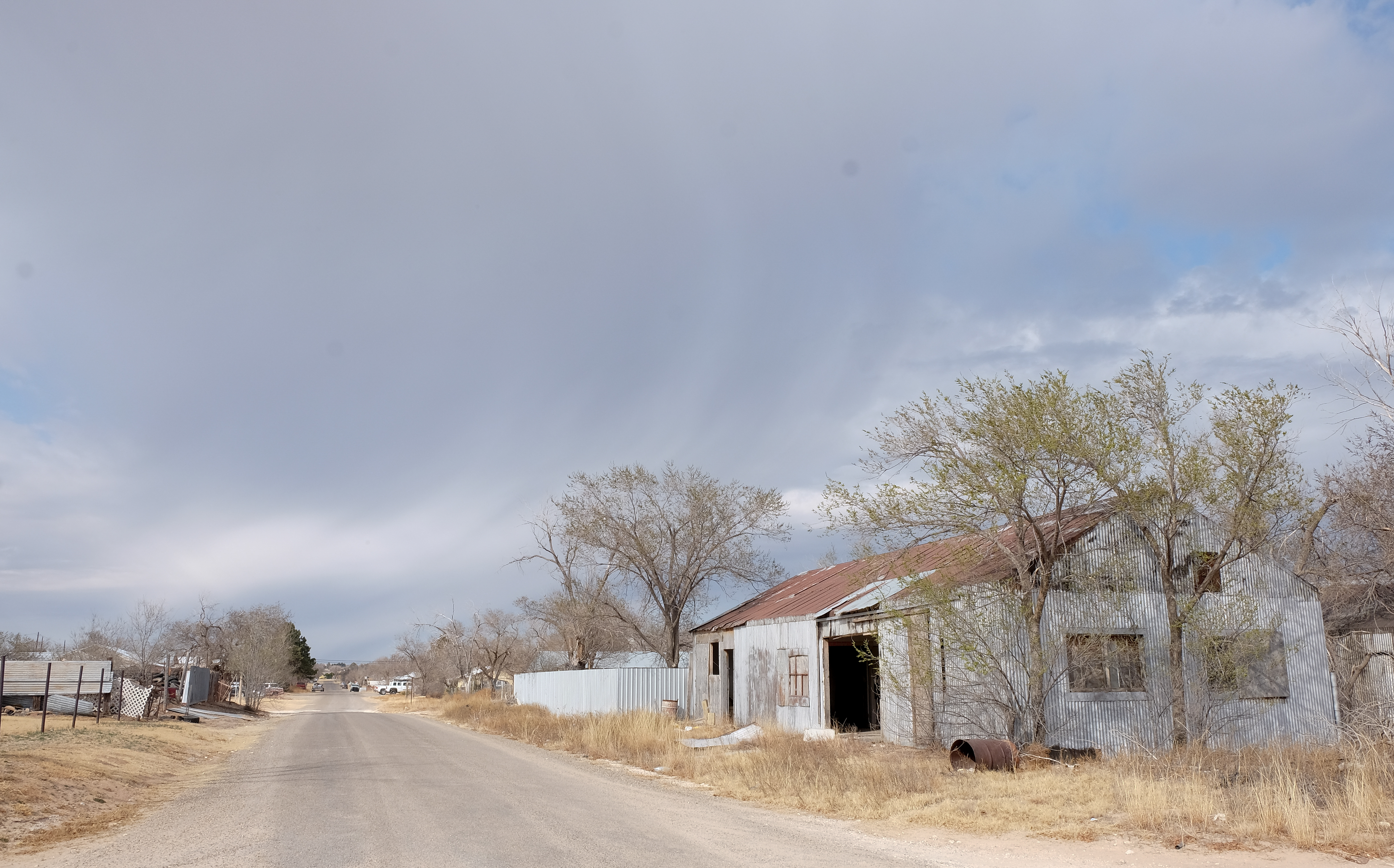
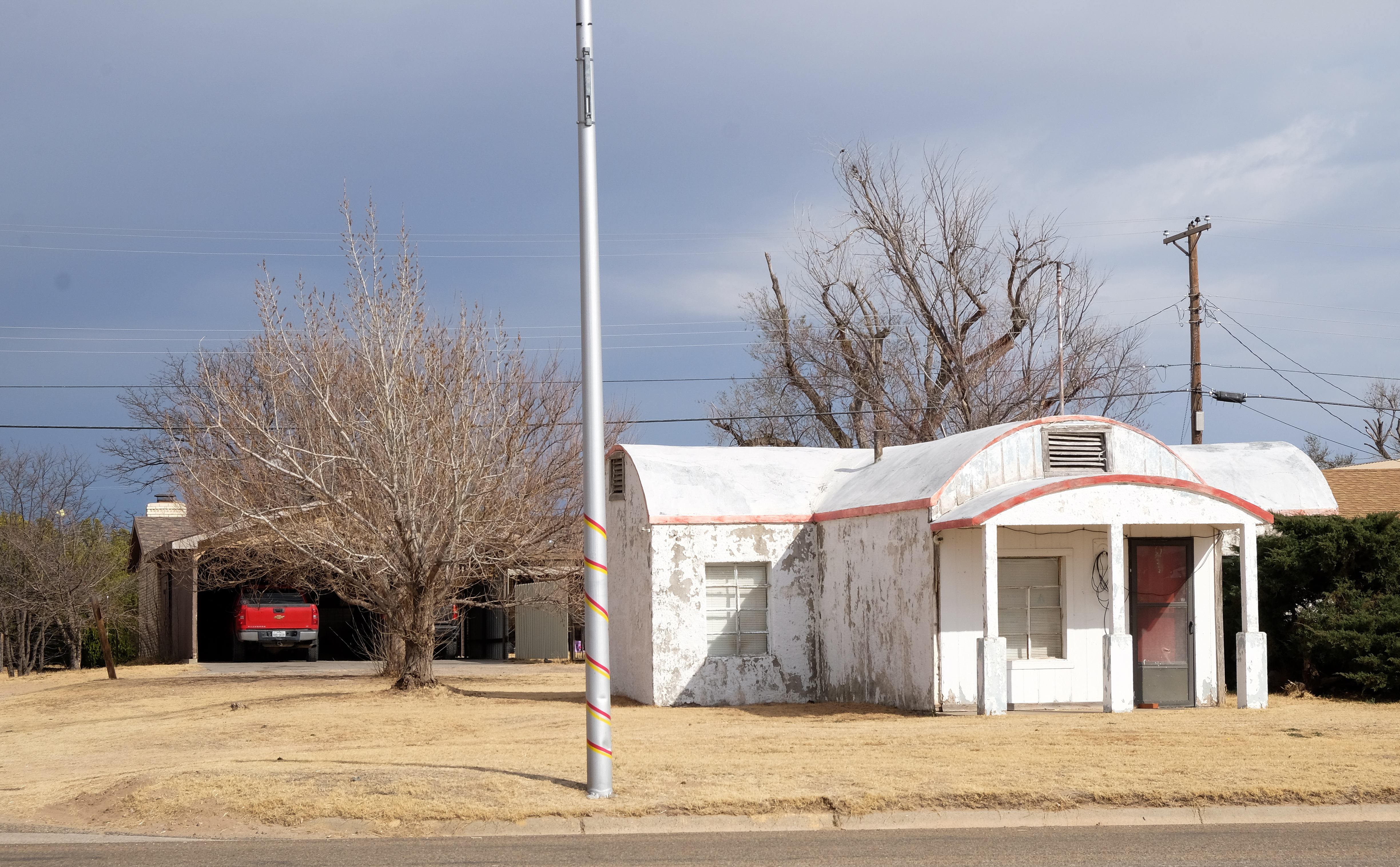
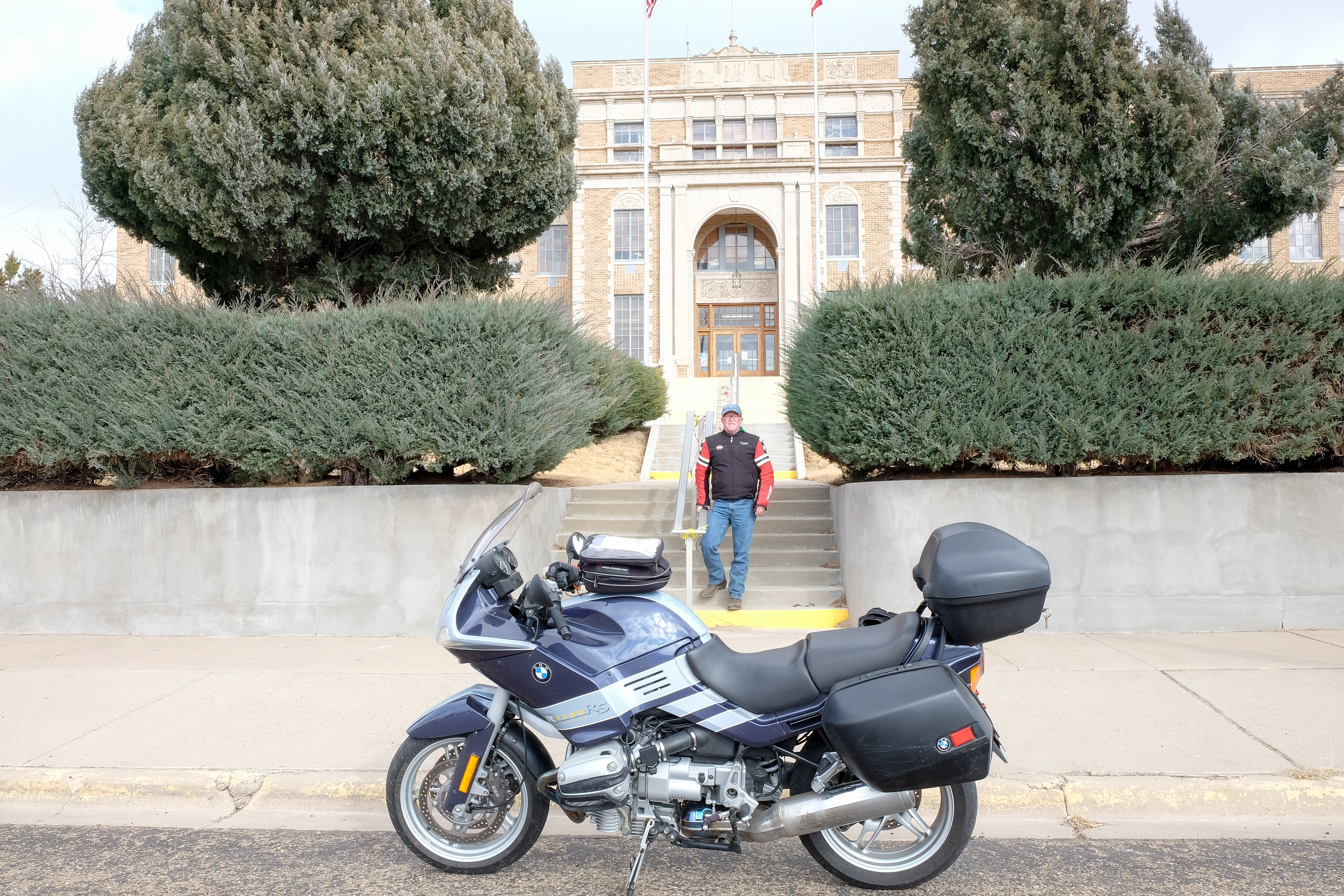
And on to Dumas
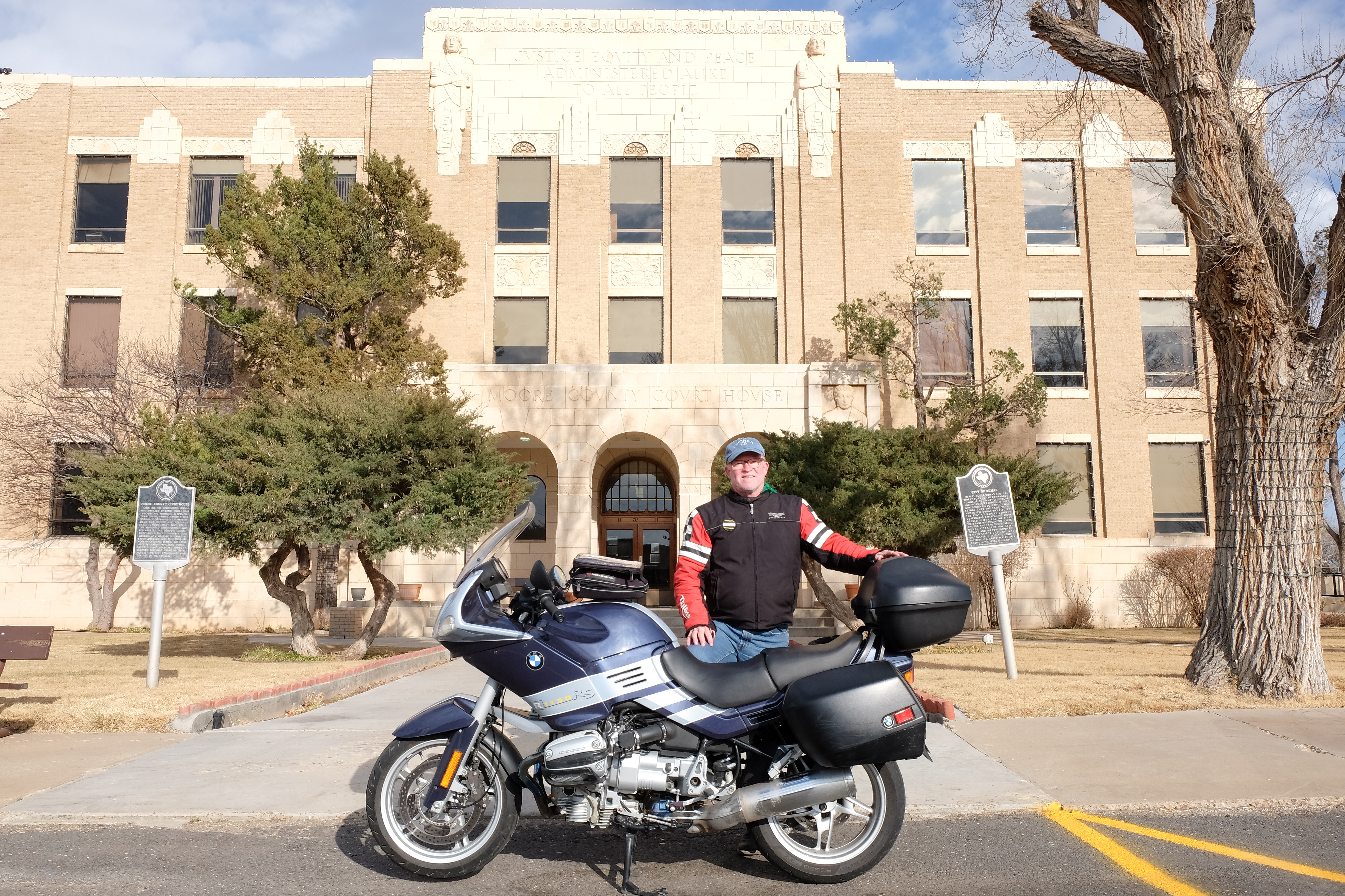
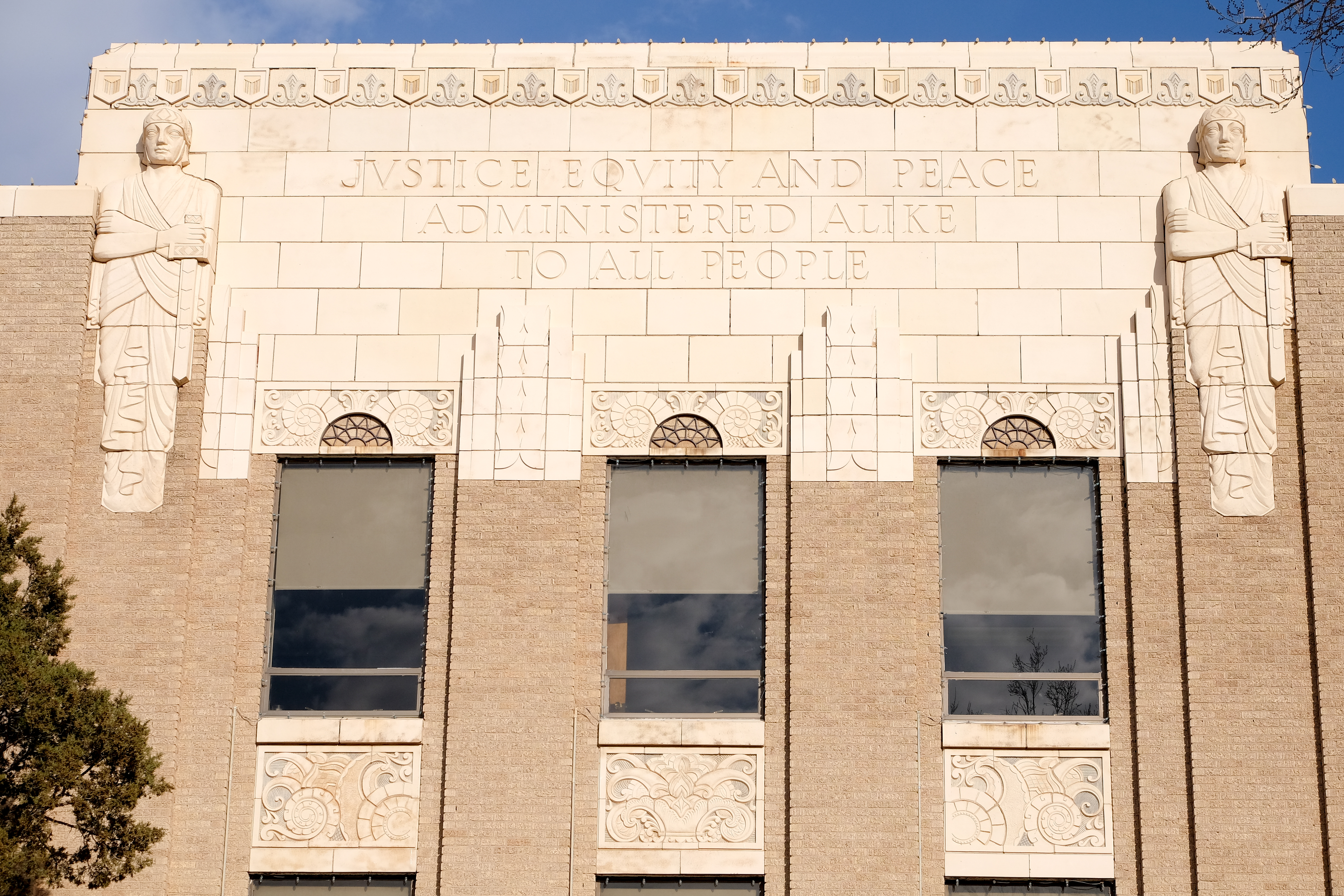
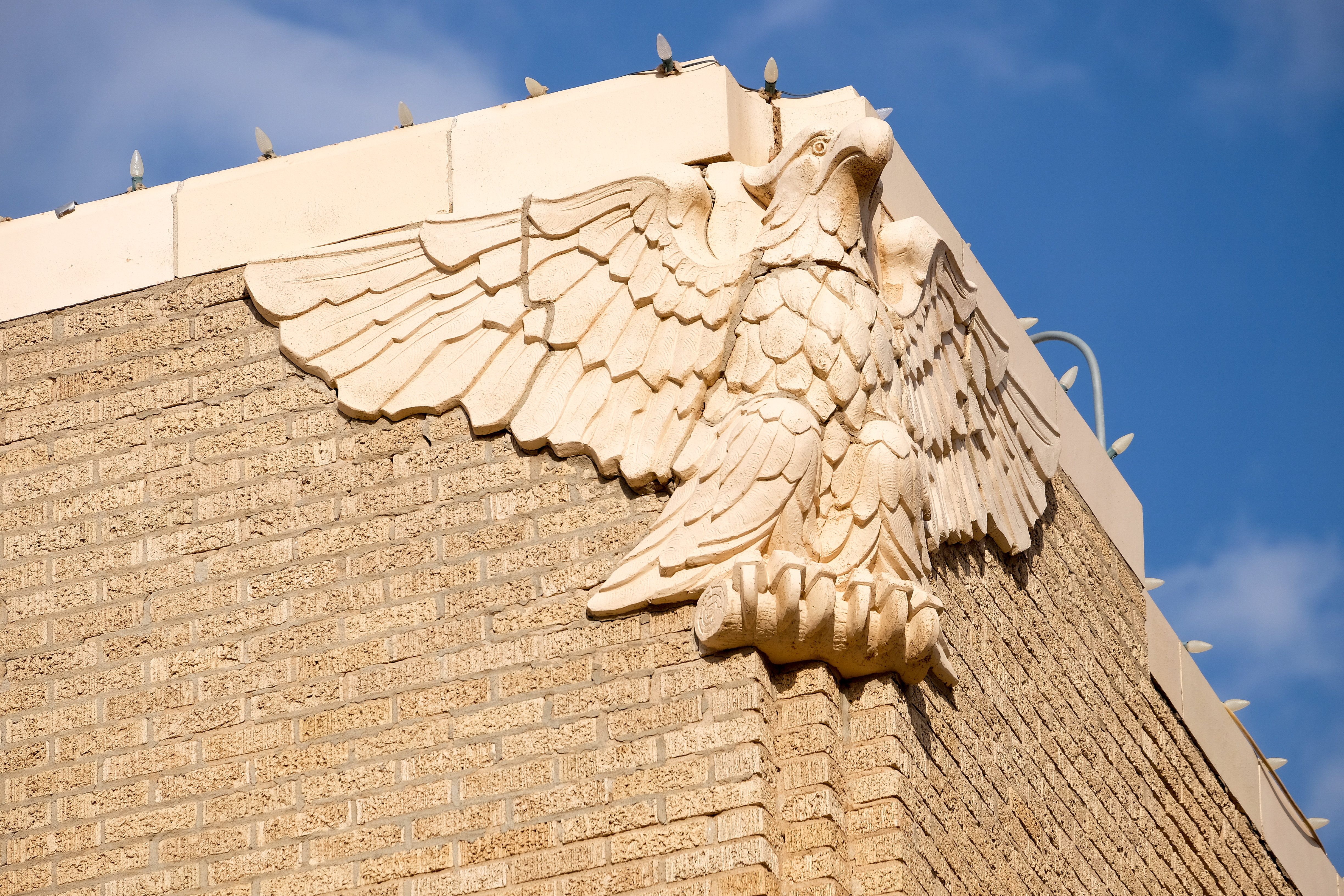
From Dumas, a wonderful afternoon ride on a completely deserted rural road, heading more and more into the nowhere-land along the border with New Mexico. Upon arrival in Channing, I could not find the courthouse, until I was directed to cross the railroad tracks behind the tire repair store, and look for trees. (Actually, looking for trees is part of the art of finding courthouses without use of a map or GPS. Water towers and grain silos also help…)
Imagine my surprise when I happened on a beautiful little postage-stamp size courthouse in the middle of a shady grove of trees. I hated to leave it…but the shadows were getting long and my tires were OK…
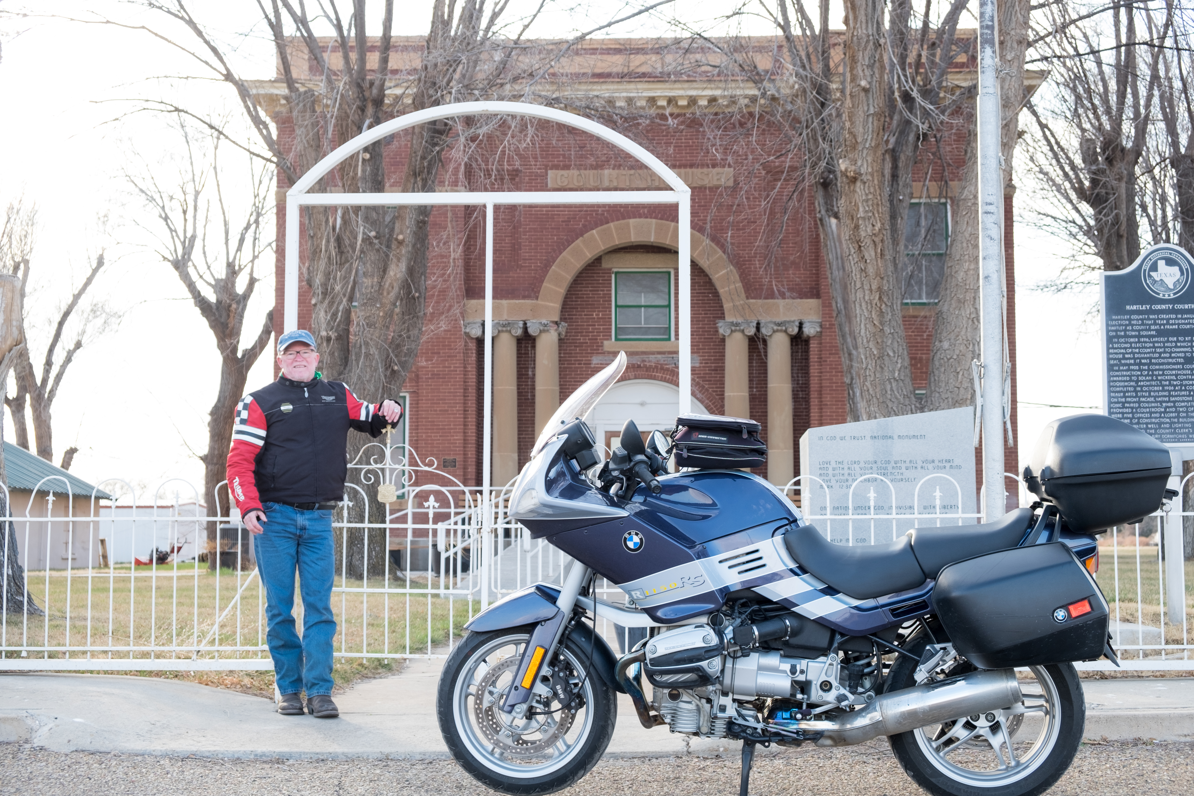
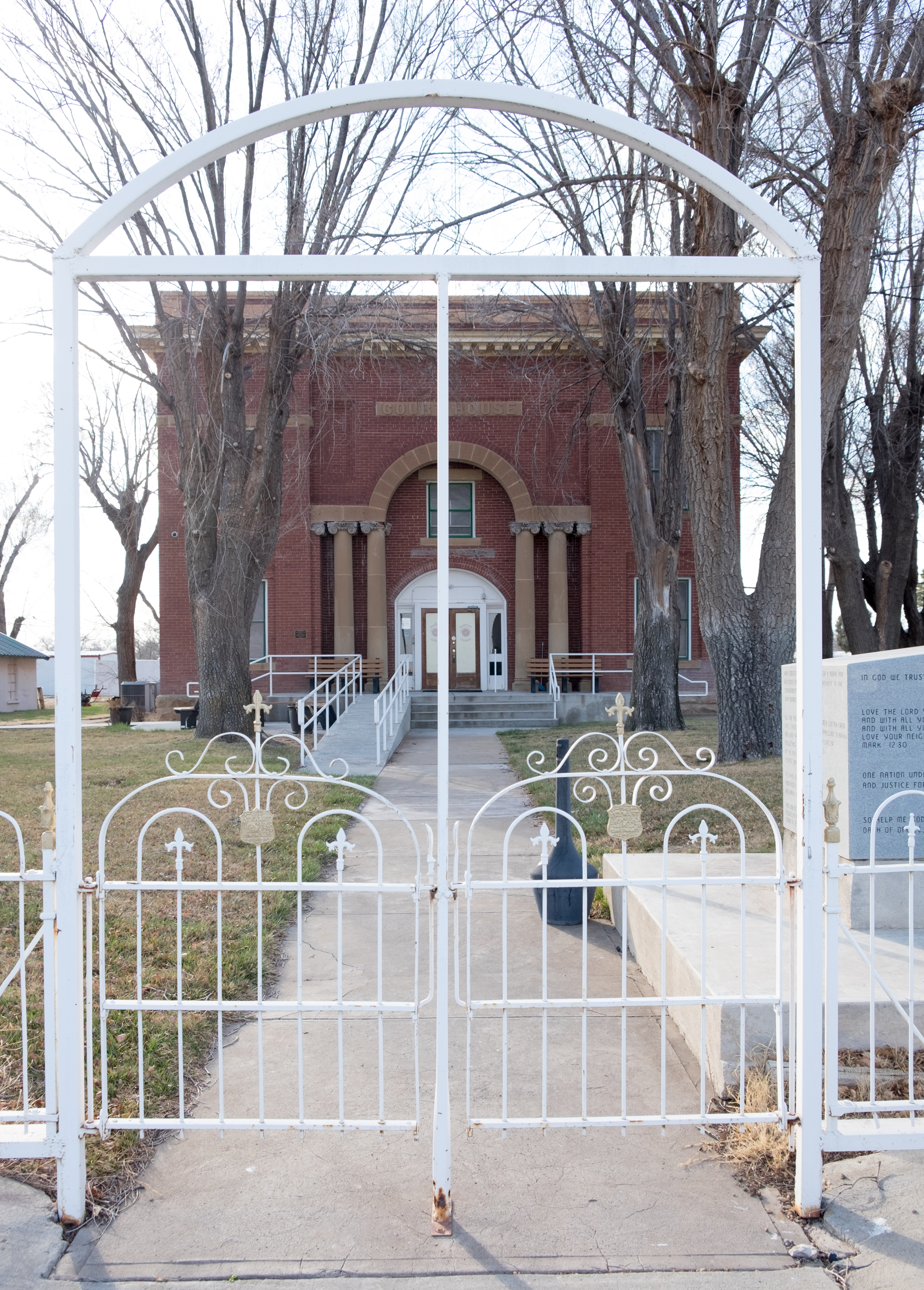
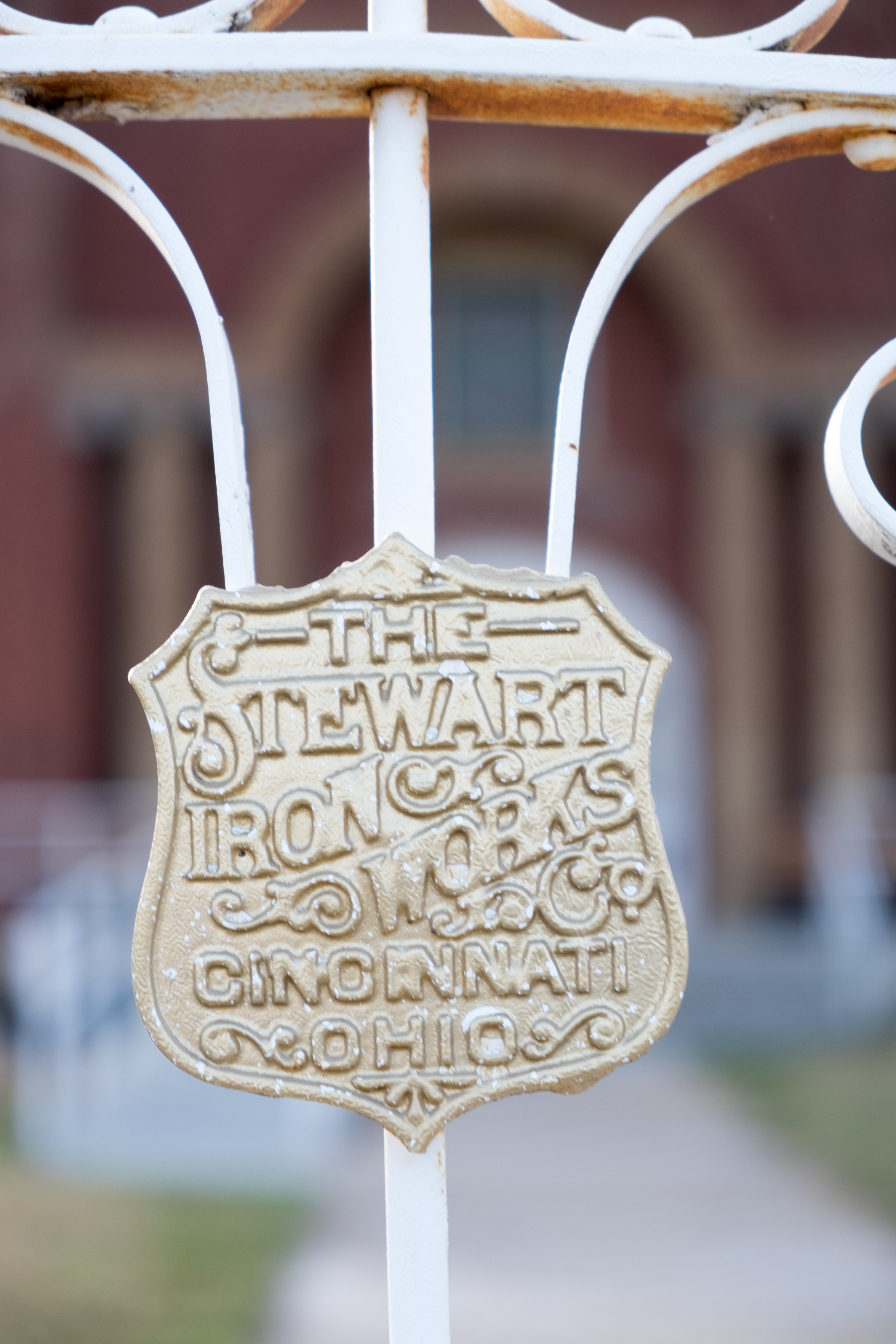
Due south to the penultimate stop of the day, Vega. I vaguely (get it?) remembered this place from having gassed up there on a drive from New Mexico some years ago, but it is mostly an I-40 lodging/fuel/food stop.
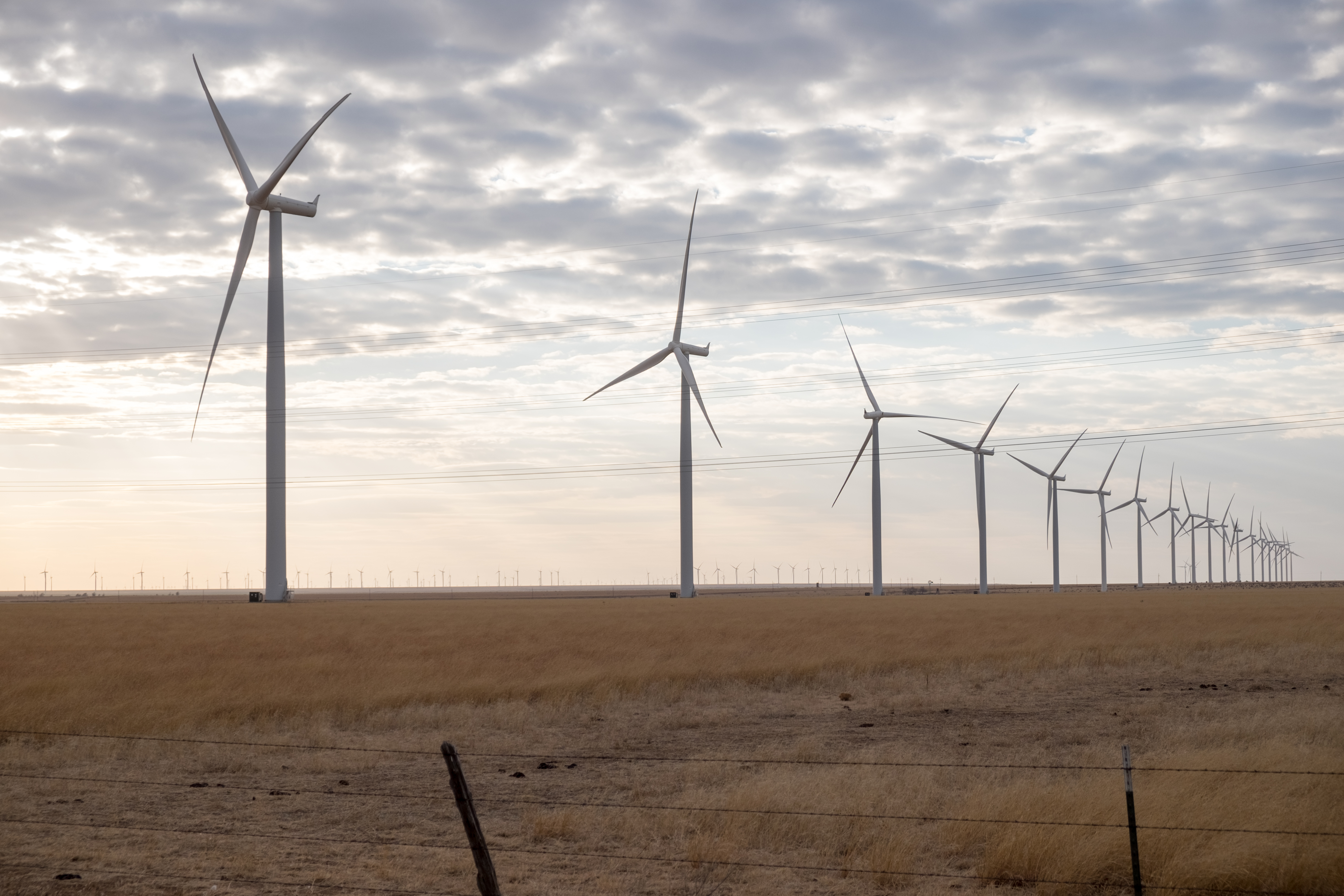
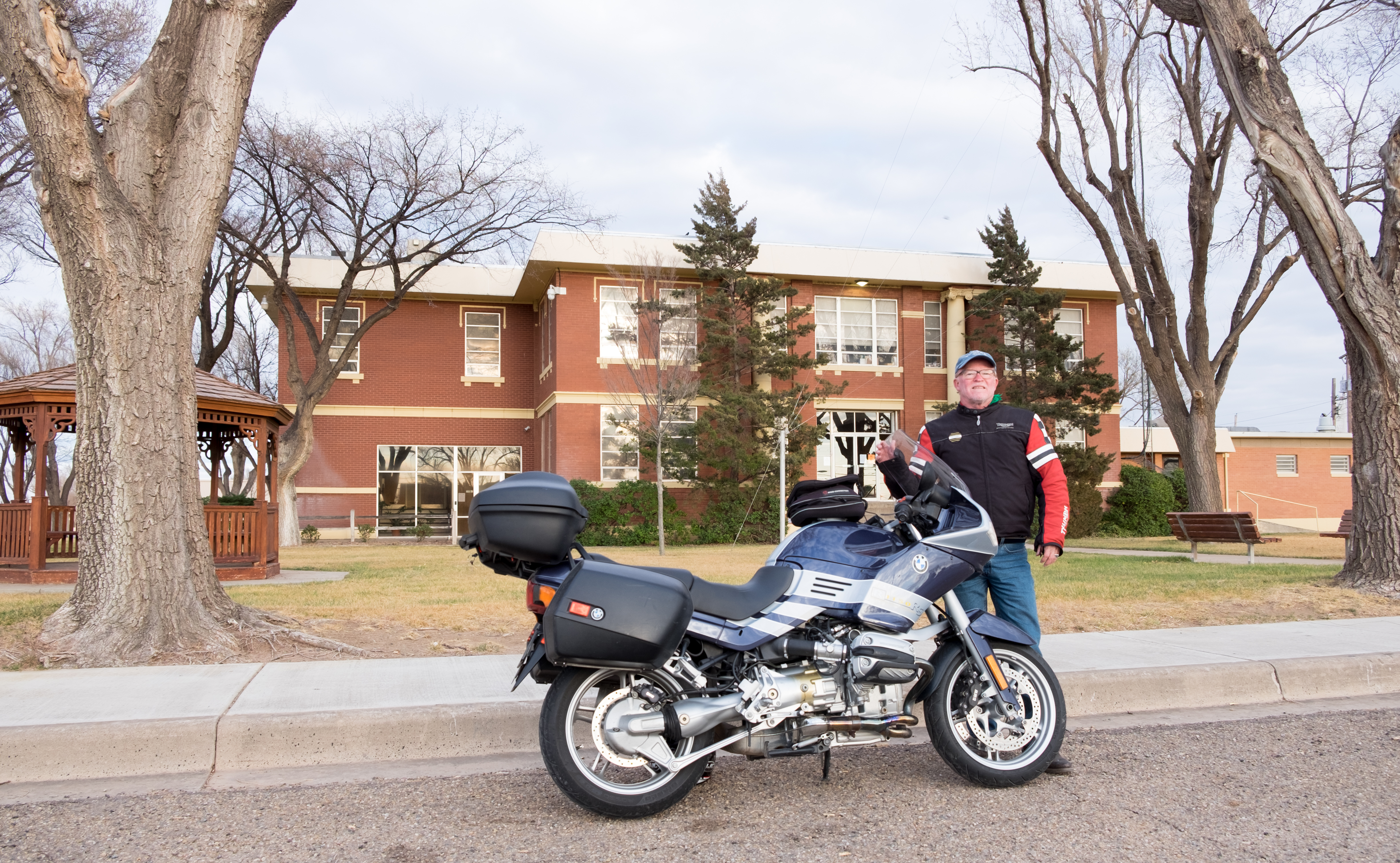
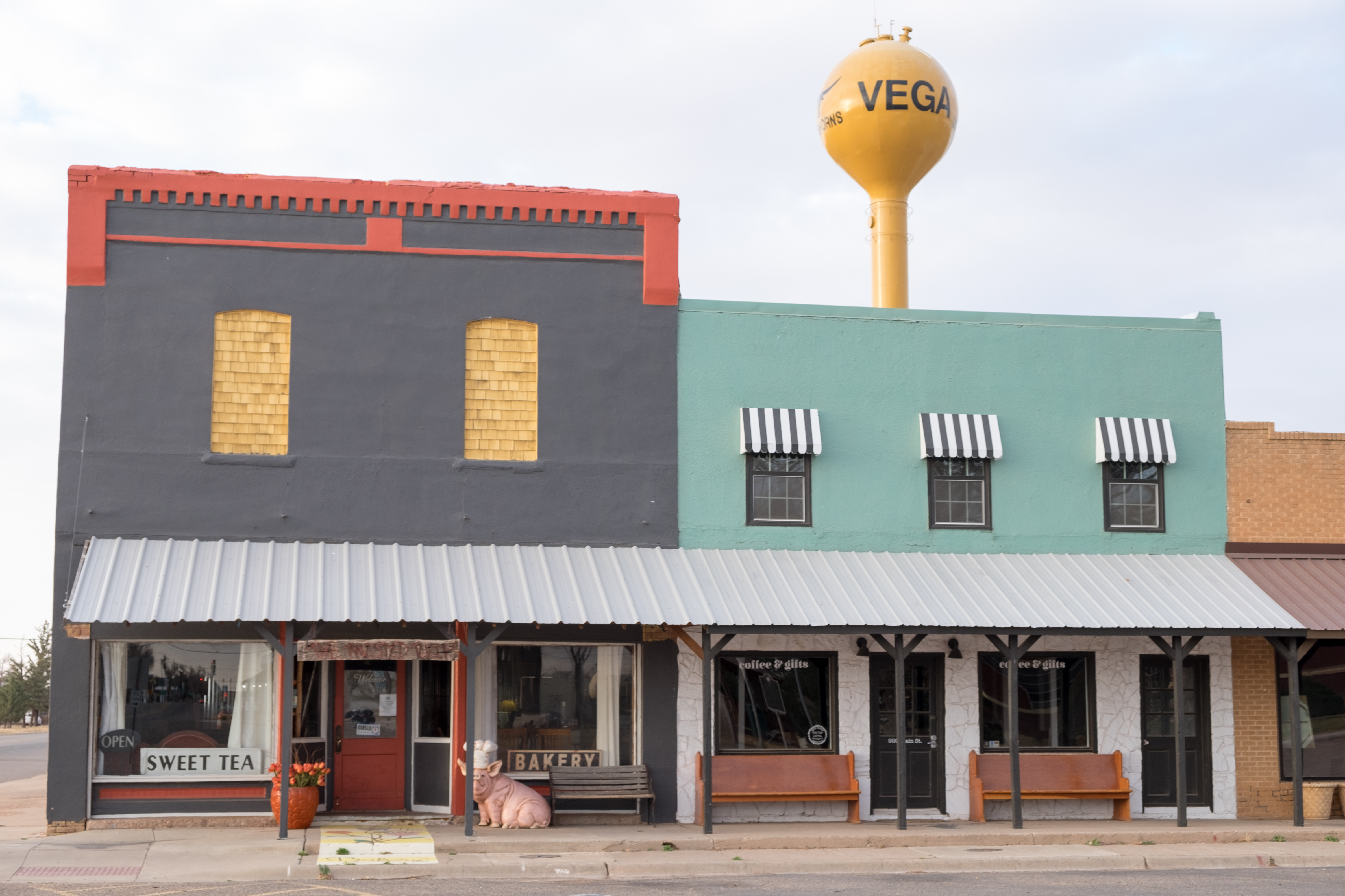
And from Vega, last leg of the day, with thankfully the sun and wind at my back, headed to Amarillo for the night.
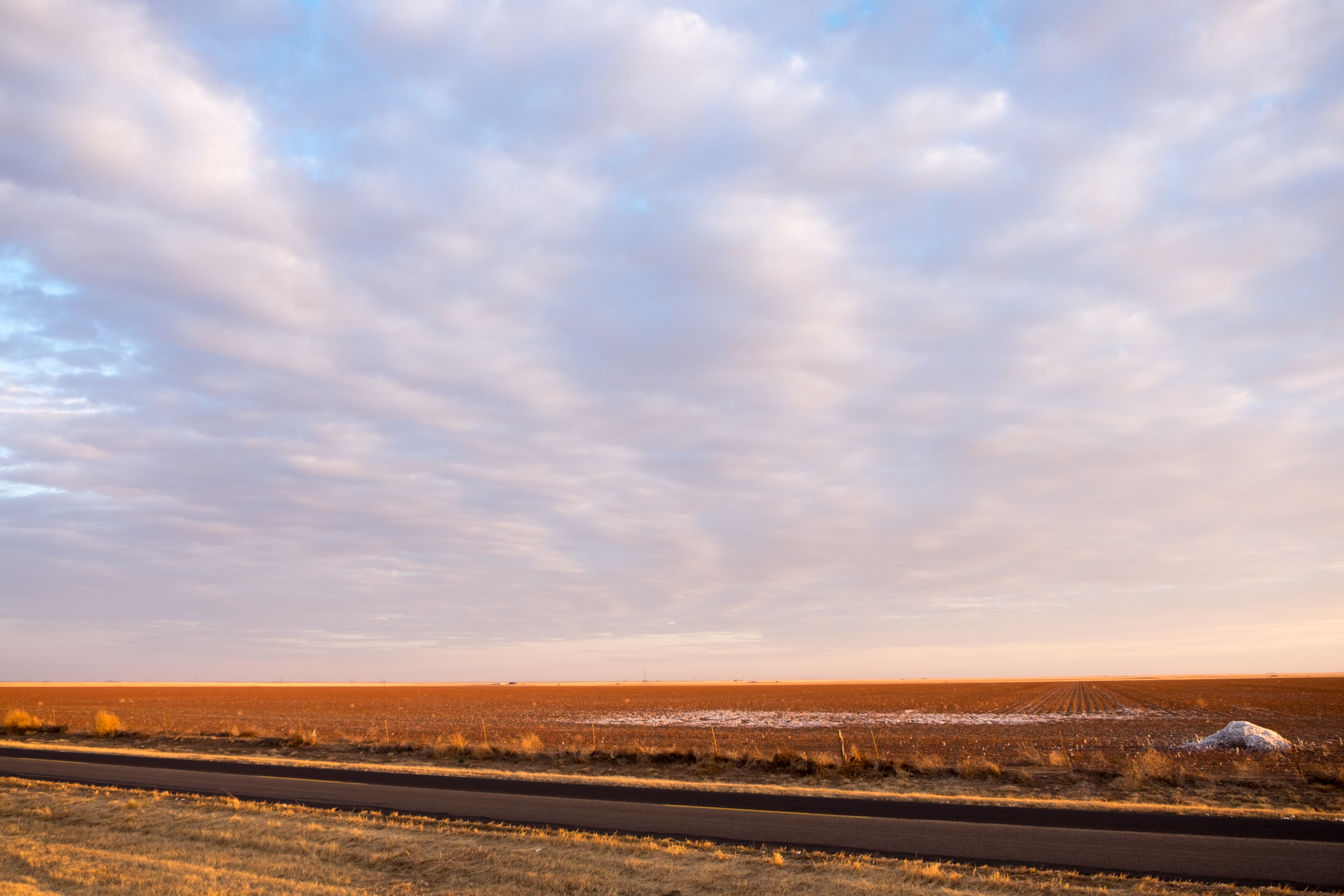
400+ miles on day two of the Panhandle trip, next blog begins in Amarillo.

Love the “Persistence Croc” in Spearman. But Lipscomb was my favorite even if there was no one there. Your comments about Black Panther probably ring true but they did offer it to the community so there is hope. Enjoy your journey-you are seeing a part of America that is so raw and also very real.